Frequently Asked Questions about Snowmass Mountain
How do the East Slopes and West Slopes/Southern routes compare in difficulty?
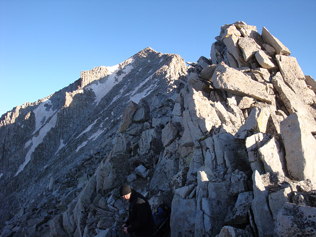
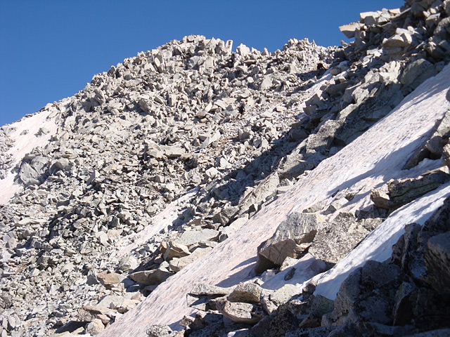
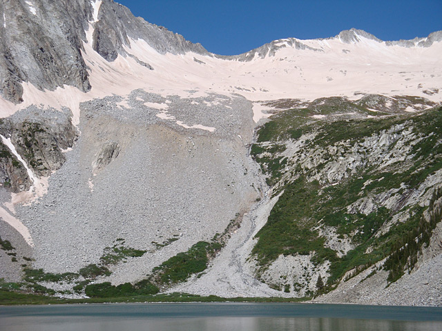
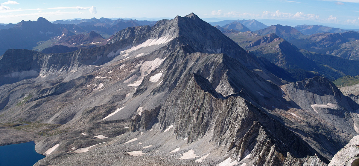
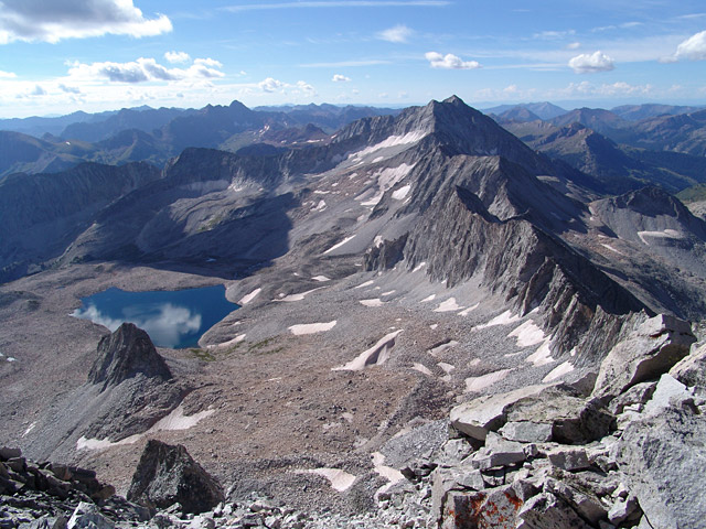
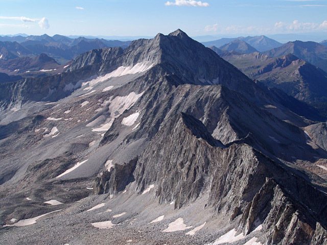
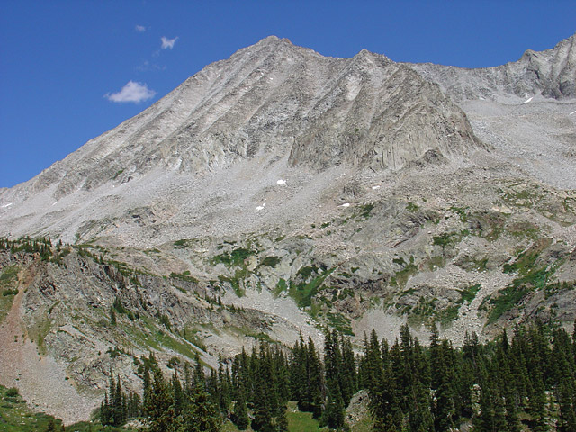
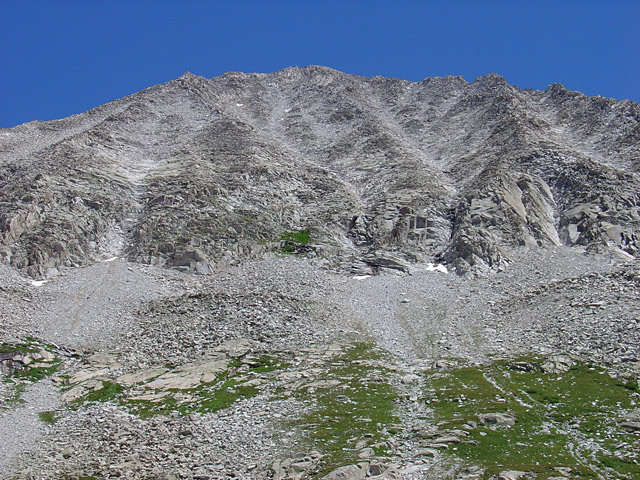
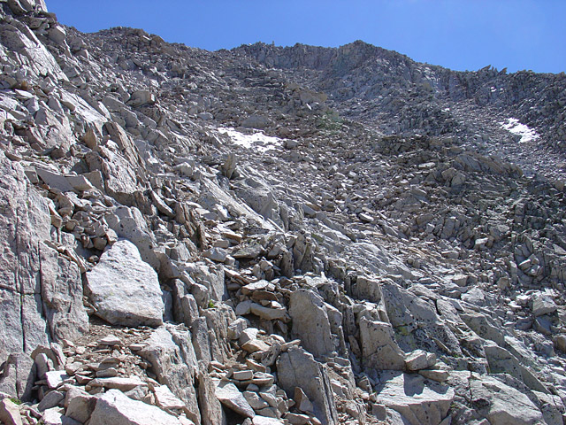
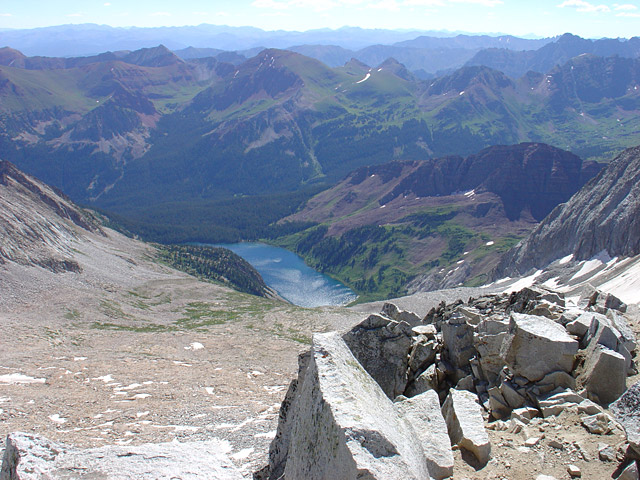
The standard East Slopes route from the Snowmass Creek Trailhead is a long, highly scenic Class 3 climb covering 22 miles round-trip. It features the infamous log jam crossing, a beautiful approach to Snowmass Lake, and a scramble up a notoriously loose, steep scree gully. By contrast, the southern/western approach via Lead King Basin (West Slopes or S-Ridge) cuts the hiking distance nearly in half but trades it for a much more rugged, sustained puzzle of loose, shifting, refrigerator-sized boulders or a sharp Class 3 ridge scramble.
Can a standard passenger car make it to the southern trailhead via Crystal Road and Lead King Basin?
No, standard cars and crossovers cannot make it to the Lead King Basin Trailhead. The access roads (FR 314 and FR 315) out of Marble, Colorado are incredibly rough, rocky, and narrow jeep trails featuring steep shelf drops, deep stream crossings, and slick shale that becomes impassable when wet. Even modern, all-wheel-drive compact SUVs frequently bottom out and risk severe oil pan damage. To safely reach the upper trailhead at 9,700 feet, you strictly require a high-clearance, short-wheelbase 4x4 vehicle like a modified Jeep Wrangler or a high-clearance truck driven by an experienced off-roader.
Is camping allowed anywhere in the wilderness, either at Snowmass Lake or Geneva Lake (southern routes)?
While backpacking throughout the spectacular Maroon Bells-Snowmass Wilderness is highly sought after, overnight camping is strictly regulated by dedicated overnight permit zones. You cannot simply camp anywhere without a plan. High-impact areas like the Snowmass Lake Zone require an overnight permit reserved in advance via Recreation.gov. If you choose to camp outside of these highly competitive, designated permit zones, you are still legally required to fill out a free self-registration permit at the trailhead and must position your tent at least 70 big steps (200 feet) away from all trails and water sources.
How difficult is the infamous Snowmass Creek log jam crossing on the East Slopes?
Located 6+ miles into the standard East Slopes route, the log jam is a massive, shifting tangle of downed trees over a wide, fast-flowing creek. Navigating it requires excellent balance, patience, and concentration, as the wood is frequently wet, covered in slippery moss, or coated in slick frost during early morning hours. If you are carrying a heavy backpacking pack, you should unbuckle your hip belt and chest straps before crossing so you can instantly shed your gear and avoid being pulled under if you lose your footing and fall into the water. The difficulty of the log jam peaks during early summer snowmelt (typically late May through June), when raging, deep torrents of water can submerge parts of the logs and create a high-consequence hazard.
Additional Snowmass Mountain History