| Report Type | Full |
| Peak(s) |
Capitol Peak - 14,138 feet Snowmass Mountain - 14,105 feet Hagerman Peak - 13,848 feet North Maroon Peak - 14,022 feet Maroon Peak - 14,163 feet "Thunder Pyramid" - 13,944 feet Pyramid Peak - 14,029 feet Castle Peak - 14,274 feet Conundrum Peak - 14,037 feet Cathedral Peak - 13,952 feet |
| Date Posted | 07/17/2026 |
| Date Climbed | 07/11/2026 |
| Author | SpeedWalker |
| Centennial Elks Traverse FKT |
|---|
|
Centennial Elks Traverse Alex "SpeedWalker" Walker Background In July 2021, the same week Andrew Hamilton finished Colorado's highest 100 "Centennial" peaks in just 23 days, I left on my final trip to finish the same list after 13 months. My first stop was the Elks, where I spent the better part of a week just climbing its 3 Centennials. Linking those up with the 7 Elk 14ers was simply too big of an objective for me to fathom me at the time. I remember being fascinated by the impossible-looking low traverse from Snowmass to Capitol, which I had just watched Andrew complete in the middle of the night! It wasn't until just last year while finishing the Elk 13ers that I got comfortable enough on that terrible loose rock to even consider an Elk Traverse of my own. My original goal was to traverse just the 7 14ers from Capitol to Castle, exploring some fun new routes along the way. The FKT for this linkup is a mind-boggling 17 hours. That's right, seventeen! This was a great excuse to do my linkup casually without worrying about time. However at some point over the winter, remembering Andrew's 2021 route, I realized that adding the 3 centennial peaks would be a great opportunity to complete the linkup I wanted AND have a good chance at setting an FKT. I reluctantly started studying the notoriously dangerous Snowmass/Hagerman and Pyramid/Thunder Pyramid ridgelines, and they slowly started to feel more within the realm of possibility. I knew maximizing daylight hours was an absolute must for this route, so I aimed for late June or early July, as soon as enough snow had melted. A massive fire outbreak had me doubting it would even be possible this summer, but I soon saw the perfect opportunity in the form of a great weather window during a lull in smoke conditions. The only problem was I had just gotten back from a week at sea level, so I went for a short shakeout hike and slept at 10,500ft a few days before to try to offset the acclimatization I had lost. As it turns out, this would not be enough. Day 1 Capitol Peak I pulled into the absolutely packed Capitol Creek Trailhead around sunset on Friday July 10. I spent forever trying to get my car reasonably level in the one remaining pullout, but ended up sleeping in the back at a significant incline. Adding in nerves for the day ahead and people driving up and down the road at all hours, I slept horrible. My alarm went off after maybe 5 hours of pretending to be asleep. I packed up, gave my friend Tim the keys to my car, walked up to the trailhead sign, and started my watch at precisely 3:00 AM. 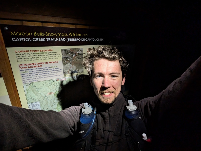
I started speed walking up the ditch trail while eating some snacks for breakfast. My pack was notably heavier than usual, as I was planning to complete the route unsupported, so I was carrying a full two days of food. I was worried by my breathing and heart rate being a little faster than usual due to the poor acclimation, especially since I was already behind schedule. My goal was to reach the Knife's Edge around first light to maximize daylight on the upcoming difficult peaks, but I misjudged my time estimate and ended up starting about an hour late. 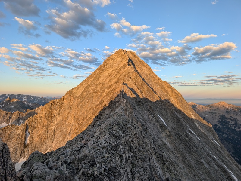
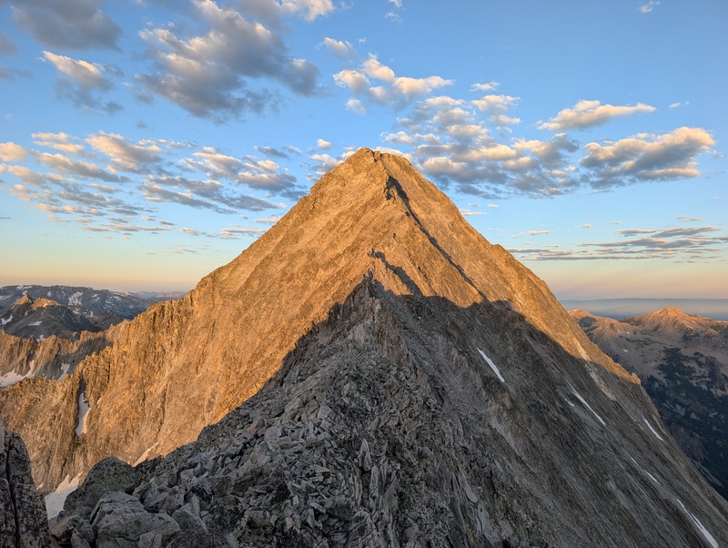
I skirted around K2 hoping it would be faster than going over the top, but it was actually more tedious than I remembered. I stashed my poles and started scrambling across the ridge as fast as I safely could. I actually only touched the top of the Knife's Edge in one or two spots, finding easier alternatives below it for most of its length. Since first summiting Capitol in 2020, I think my routefinding abilities and coordination on loose rock have greatly improved, while I've actually gotten slightly more wary of exposure. I had no trouble finding my way through the maze of cairns on the upper face, and overall found the experience much easier and faster than either of my previous summits. I reached the top in just under 4 hours from the trailhead. 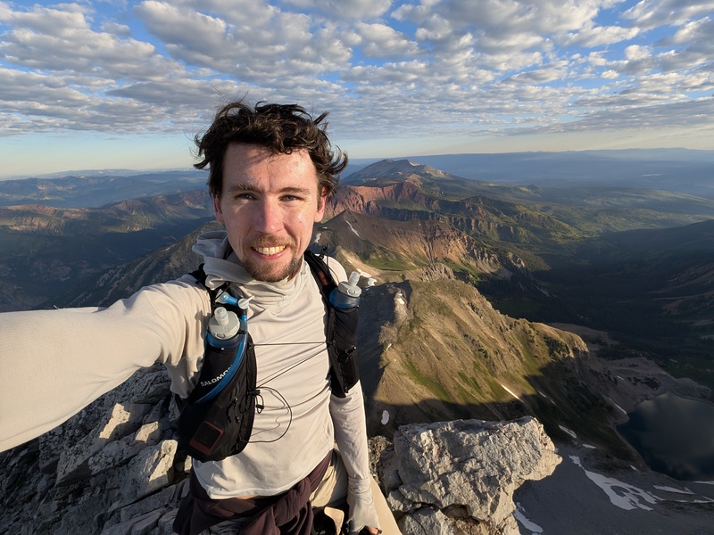
I was the first person to summit that morning, but there was a massive conga line starting to form when I got back down to the Knife's Edge. You could probably see more people in that moment than the combined number of people I've seen all year climbing 60+ 13ers. I made quick work of the descent regardless, making sure to go up and over K2 this time. My round trip from this point took under 90 minutes. I started down the standard route and split off at the Wandering Dutchman Couloir, where I would start venturing into new terrain. 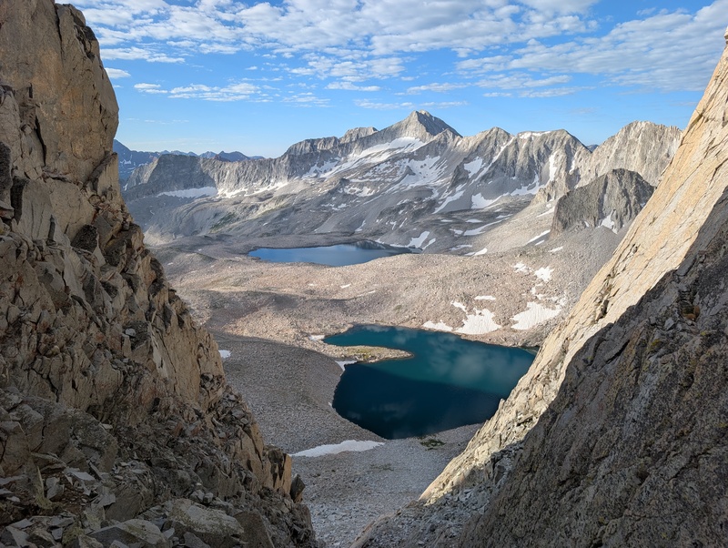
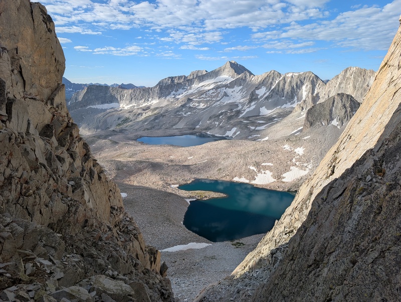
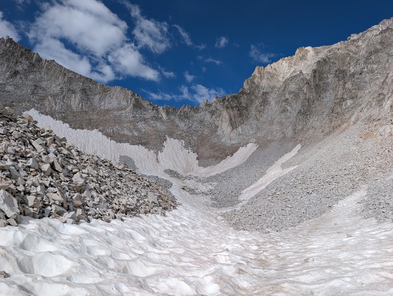
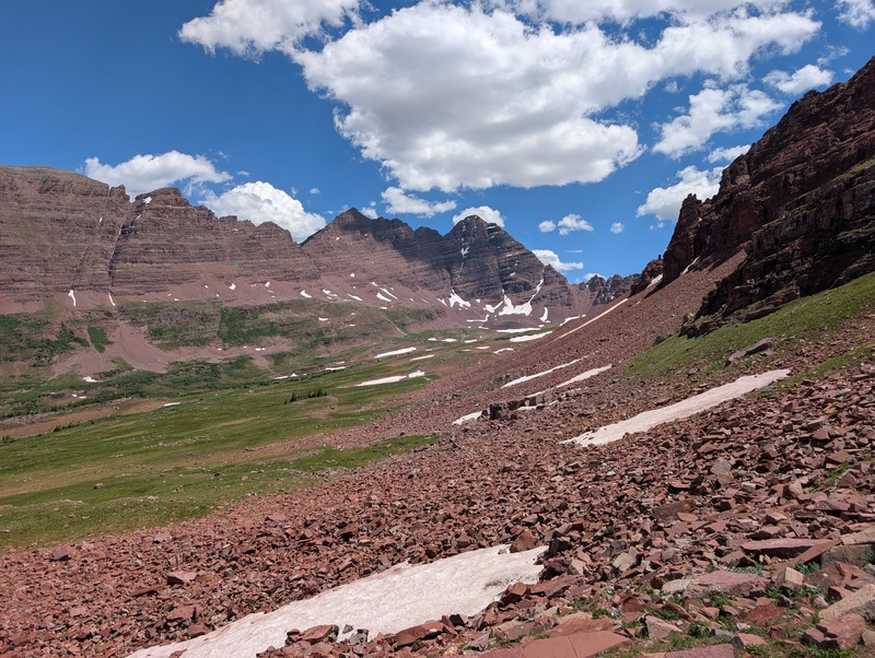
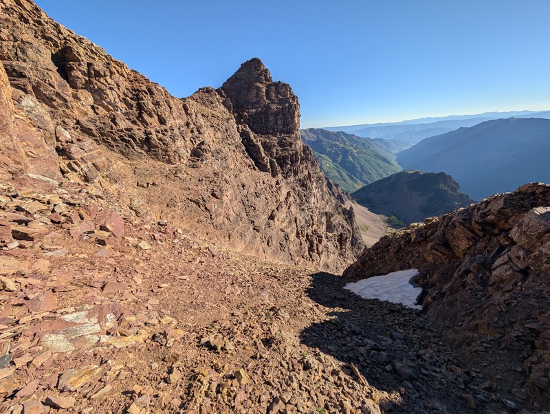
Snowmass Mountain & Hagerman Peak Getting down the couloir was no problem despite how steep it looks on a map. The rock hop across Pierre Lakes Basin from here was straightforward but very tedious. The real crux of this traverse is crossing over Satan's Ridge to get from the west side of Capitol to the east side of Snowmass. The easiest spot to do so is right in the middle at its lowest point, although the view is still quite intimidating as you approach. 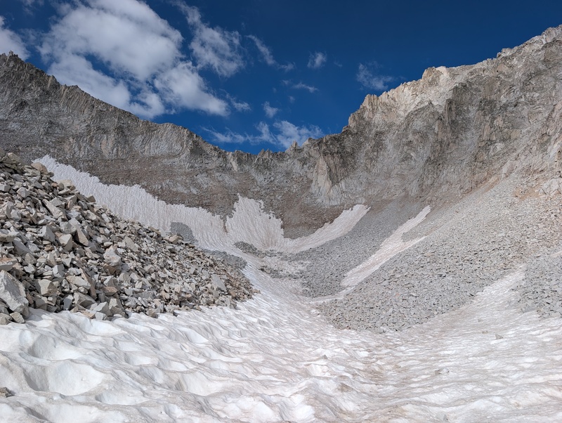
There was a short section of steep snow which luckily wasn't too hard to cross, followed by the first of many terribly loose dirt/rock slopes. It's fairly obvious where to aim on the ridge, and once I got near the top, there was actually a rope hanging down through the steep upper cliffs. I found a gentler looking ledge just to the right that I decided to take instead, which dropped me off at the saddle after a couple Class 4 moves. From here it's just more of the same rock hopping while contouring a huge bowl and crossing a few smaller ribs until you intersect with the standard West Face of Snowmass. I stopped at the bottom to fill up on water, then started the 1,500 ft slog straight up to the summit. 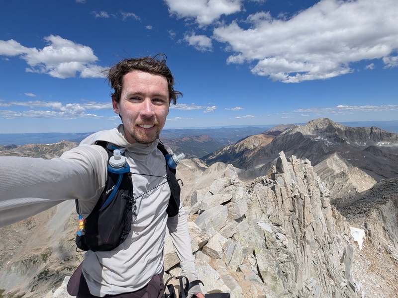
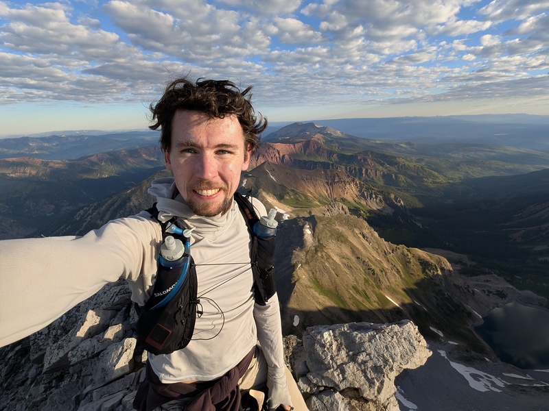
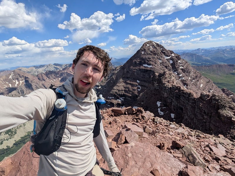
Hagerman is barely a half mile away from the summit of Snowmass, but the traverse between is known to be insanely loose and exposed. The word "loose" doesn't really do justice to the precarious teetering nature of the massive shards of granite making up the ridge. The descent actually starts out easy, staying primarily on climbers' trails on the west side. However once you diverge from the standard route on Snowmass, the difficulty and looseness picks up dramatically, and the view of the ridge ahead is sobering. 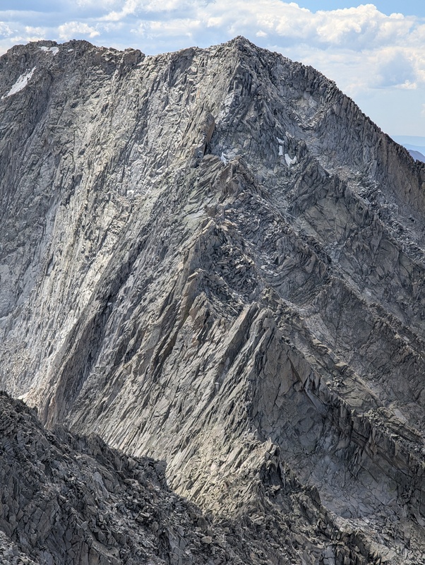
Immediately after the saddle is a massive tower that looks almost suicidal to climb directly. Instead, you can traverse across slabs to the right and climb up to a notch to bypass it entirely. This involves a couple moves of Class 4 or low 5, but the rock here felt relatively solid. From here, instead of returning to the ridge, I actually dropped down a bit to cross some more slabs then essentially parallel the ridge while staying 100+ ft below it. The scrambling here is certainly loose, reminiscent of the upper face of Capitol, but much less exposed than up on the ridge. I was pleasantly surprised at how easy it felt compared to the reports I've read. Eventually you're forced to do some steep sustained climbing on slabby rock to reach the top. This was also Class 4 or low 5 on surprisingly solid rock, and was definitely the crux of this traverse due to how committing it felt. 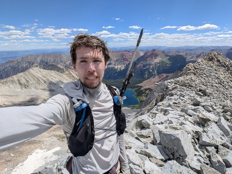
North Maroon Peak & Maroon Peak I descended the standard South Face of Hagerman, which is your typical loose Elk nonsense. I was at least glad to be going down it rather than up. You once again have the cross main ridge to get to the next peak, North Maroon, but fortunately this time it's as easy as walking over Trail Rider Pass. I was on the trail for about 2 minutes and saw no less than 20 people, in stark contrast to the next 7 hours where I wouldn't see a soul. From the top of the pass is a long stretch of contouring around gentle rocky and grassy bumps to make it to the seldom-visited west side of the Maroon Bells. 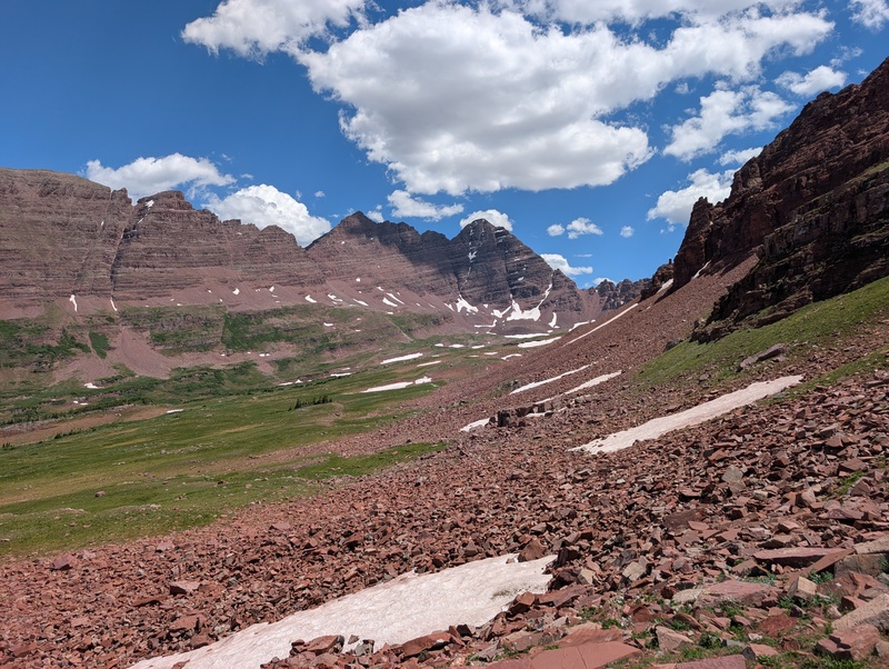
The fastest way up and down both peaks from here is likely to ascend the technical West Ridge of Maroon, traverse to North Maroon, then descend its quick standard route. This is what the 14er Elk Traverse record does. However, the easier route from this side is the Northwest Ridge of North Maroon, which is also the typical winter route. This forces you to either do an out-and-back on the traverse, like Andrew has done, or to go down the more tedious standard route of Maroon, which I chose to do. Getting up the Gunsight Couloir to start the Northwest Ridge is quick but rather unpleasant. I found the first half of the ridge to be a little junky and uninspiring as well. About halfway up is where the serious routefinding and Class 3-4 scrambling begins. It's not too different than the opposite standard ridge of North Maroon, but with a lot more loose rock. 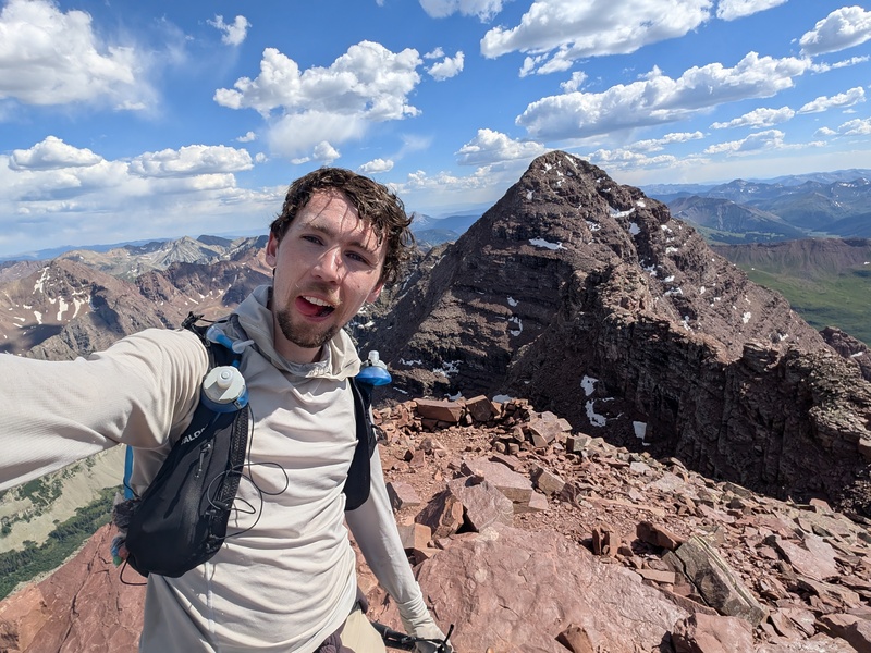
I was still holding on to hope of making it to Pyramid before dark, but after checking the time on the summit of North Maroon, I realized I was even more behind schedule than I thought. I had been slowing down while struggling to take in calories and water; it was so hot that I had already drank 8 liters but was still dehydrated. Taking the first few steps off the summit, the cumulative effects of pushing through a deficit at altitude for so long really hit me, and my breathing was starting to feel concerningly shallow. Knowing that I wouldn't be able to continue through the night unsupported, I reluctantly called Tim and told him to hike up West Maroon Trail with overnight supplies, one of our many contingency plans. 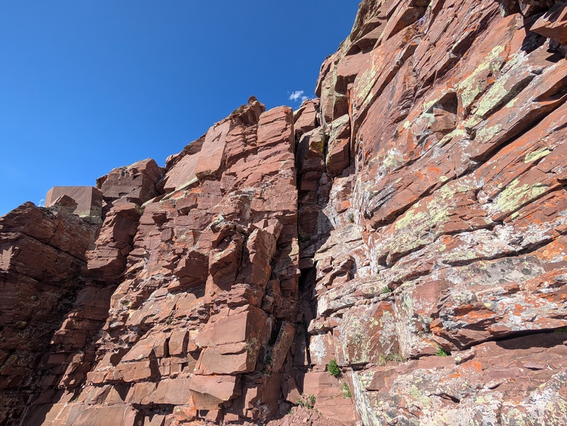
The Bells Traverse went less than smoothly. I swear the upper section from North Maroon to the top of the first crux looks completely different every time I'm there. While trying to regain the ridge crest around one minor obstacle, I set down my trekking poles, scrambled past them, reached back to grab them, but then one of them slipped out of my hand. It fell into a huge crack at least 10 feet below where I had started, so not being sure I could find a safe way down there, I decided to move on; it was time for a new set of poles anyway. I struggled to find the correct entrance to the top crux, but once I got there, the downclimbing I had worried about was far easier than I expected. While scrambling down the second crux, I once again set down my trekking pole to get it out the way, but like a magic trick it disappeared into a near invisible crack. I scrambled all around to retrieve it but it was just out of reach from any angle. Oh well, I guess the best time to lose a trekking pole is right after losing the other one. I made it down to the saddle without losing anything else, and then struggled my way up to the top of Maroon. 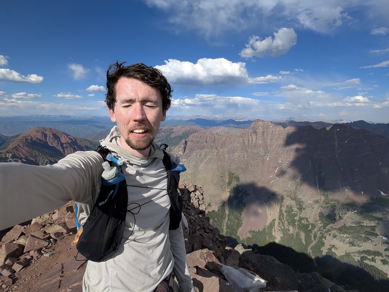
The convoluted standard route down Maroon was a bit trickier with no poles for balance, but I made it through without a problem. I was surprised how good my entire body felt, especially my legs, while descending such a big slope at the end of a 17 hour day. If only my lungs would keep up! About halfway down I found a nice walking stick that I used the rest of the way to the creek. I picked up some water, and hiked up to a clearing where Tim was waiting for me right at sunset. He set up a makeshift shelter which I happily crawled inside. I was disappointed to be wasting an entire night during an FKT, but realistically I needed the sleep more than anything at this point. I sat around for about an hour waiting for my stomach and breathing to return to normal, ate as much food as I could, then passed out. Day 2 Thunder Pyramid & Pyramid Peak I again woke up just before 3:00 AM, packed all the food into my pack that looked edible, stole Tim's trekking poles, and set out into the darkness. I was moving a lot slower than the previous morning, but my lungs felt much improved compared to last night. I was heading up the standard route on Thunder Pyramid, changing up the order from Andrew's attempts due to my now-irrelevant decision to go eastbound, all just to avoid hitting the upcoming traverse in the wrong direction. The upper part of the White Gully was way more loose and terrible than I remembered from descending it, but I reached the summit right at sunrise. 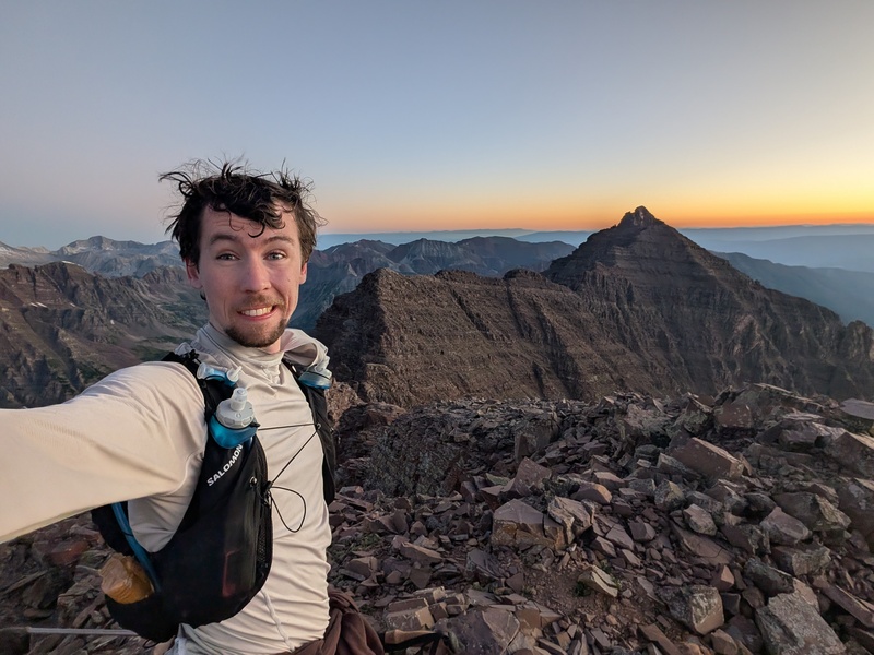
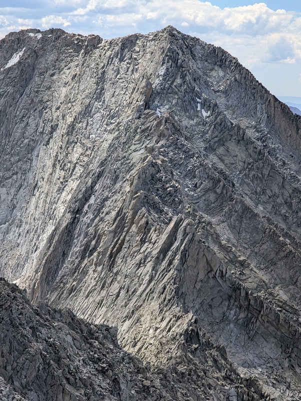
The connecting ridge to Pyramid is certainly the crux of the entire linkup, and perhaps the worst ridge I have ever traversed. It gives you no warm up, starting off with a precariously-loose Class 4 ridge descent straight down to the saddle. From here, you use some nifty ledges to traverse around the left side of the first couple towers before climbing back to the ridge, which is soon blocked by more huge cliffs. The right side looks grassy and inviting but is super steep, so I took a ledge on the left side a short distance until a weakness appeared in the cliffs above me. I scrambled up then continued traversing left on another ledge, which brought me directly to the top of the Catwalk ridge. This is by far the easiest part of the ridge, but still involves a decent bit of Class 2 and 3 navigation. There's then a loose but straightforward downclimb to a smaller saddle, which only felt Class 3 the way I went. 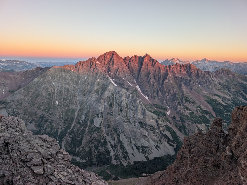
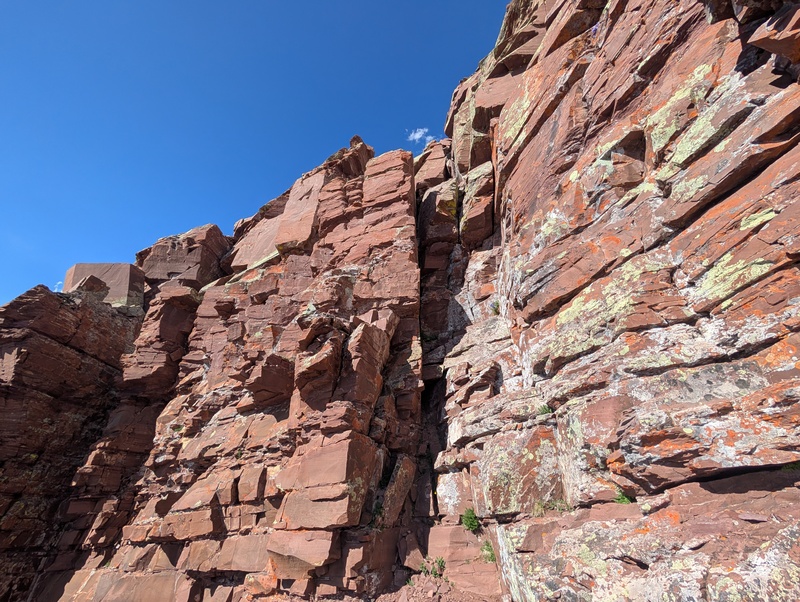
Looking at the ridge towering above you, with no apparent weaknesses in either direction, you can tell this is going to be the terrifying part. I descended slightly on the left side to a loose Class 4 path through the first cliff band, then returned to the right to the base of an obvious low Class 5 dihedral. Climbing this was easy technically but still loose enough to make you pause and test every hold. Above here, the path upward is fairly obvious, but the scrambling is stupid loose with constant death exposure below. It's maybe 50 vertical feet of Class 4 with perhaps a few easy Class 5 moves, but that description just doesn't do justice to how sketchy it feels. Imagine you stacked up every 4th and 5th Class crux on the Bells Traverse into one exposed tower, and then sprinkled 20x as much loose rock on top. I'm never doing that again! 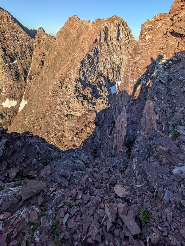
Andrew claims there's a tricky way to keep the traverse at Class 4, presumably bypassing that part, which I would love to hear the details on. I knew I was on the "correct" route because there was a massive cairn directly where I popped out. From here, you can either continue scrambling on the exposed ridge, or take an easier dirt ledge along the right side, then return to the ridge from an easier open face. From here it's a mix of straightforward Class 2 and 3 with a few more towers to skirt around until reaching the summit block of Pyramid. I skirted around the left side until intersecting with what I believed to be the cairned Northwest Ridge route. This has a few more Class 4 moves that will certainly get your attention, but you're on the summit in no time with relatively little loose rock to contend with. 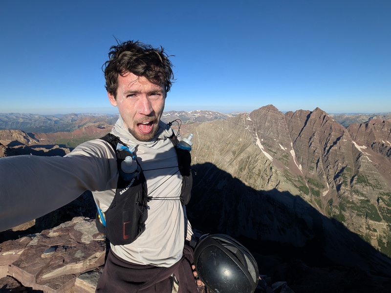
I practically ran down the standard route of Pyramid in comparison. The only people I saw were a guided group who were roped together, which always makes me wonder: on an Elk peak, would that really stop a catastrophic fall, or just pull everyone else down with you? Instead of going left to the gully down the Amphitheater, I took a ledge to the right to reach a steeper, nastier gully full of hardpan dirt. This is the quickest route to East Maroon Trail below. I think the biggest disadvantage of doing the linkup eastbound is the necessity of this route in order to do the traverse to Pyramid the proper direction. Heading westbound opens up a relatively pleasant-looking route up the backside of Thunder Pyramid, followed by an easy descent of Pyramid's standard route. 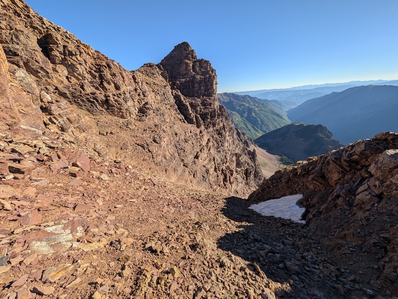
These gullies are always a weird game where you're actually aiming for the pockets of loose rock to support you as they slide beneath your feet, as that's the only way to gain traction on top of the rock-hard dirt. After bypassing some leftover snow and traversing right at the bottom, you come out at the top of a huge grassy face where you can launch straight down to the creek far below. For the first time since before Capitol, I felt the relief of walking on a real trail! I made decent time up the 7 mile, 3,000 ft climb to Triangle Pass, from which you have to descend practically as low as you started before even starting the climb up the next peak. 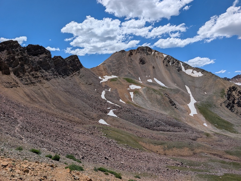
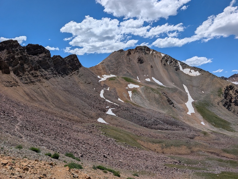
Castle Peak & Conundrum Peak I reluctantly passed by Conundrum Hot Springs without stopping, crossed the creek, and started up the wasteland of talus that is the backside of Castle. The majority of the route is easy Class 2, but felt very repetitive and tedious at this point in the day. The last few hundred feet past the cliff bands to the summit ridge were just steep enough so that everything barely slides beneath your feet, but not enough to expose anything solid underneath. This would be fine to descend, but was the definition of "two steps forward, one step back" going up. 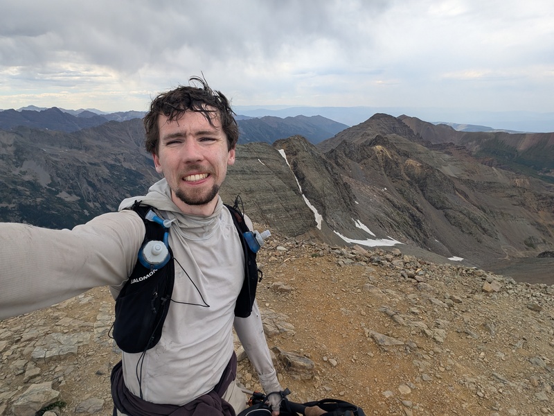
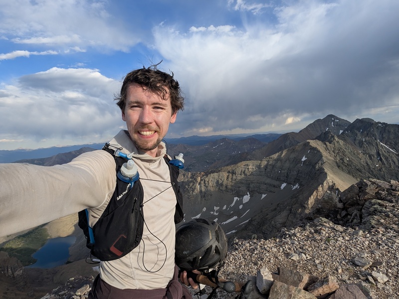
I completed the easy traverse to Conundrum in no time. I always get mixed up about where the true summit is, thinking that it has to be the farther one, but apparently it's the first flatter section of ridge that you walk along to get there. Oh well. Most people going for the record would probably continue along the ridge all the way to Cathedral, and looking out it honestly didn't look THAT bad. But I knew from the map and past trip reports that it does in fact get pretty nasty, which I just wasn't in the right state for right now, mentally or physically. 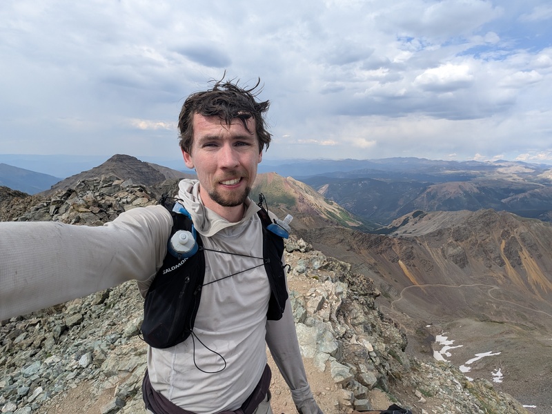
Cathedral Peak I identified a nifty alternative to the traverse that starts by backtracking to the saddle with Castle and dropping down the dry "shortcut" couloir. Though much more fun when snow-covered, this honestly wasn't remotely bad compared to everything else I had done this trip. I walked past the lake to the headwall and had a fun glissade down those few hundred feet, the only notable one of the trip. Once I reached the road, I went straight back up a steep but manageable slope to a minor ridge, then contoured along a big slabby bowl to regain the primary ridge. Altogether I think this only cost half mile and a few hundred vertical feet (the glissade made up for that anyway!), and I got to completely skip the worst part of the traverse. The remainder of the ridge involved bypassing several large towers on some goat paths, before zooming up the standard route on Cathedral. 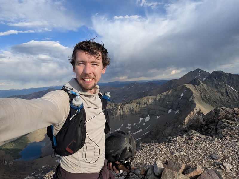
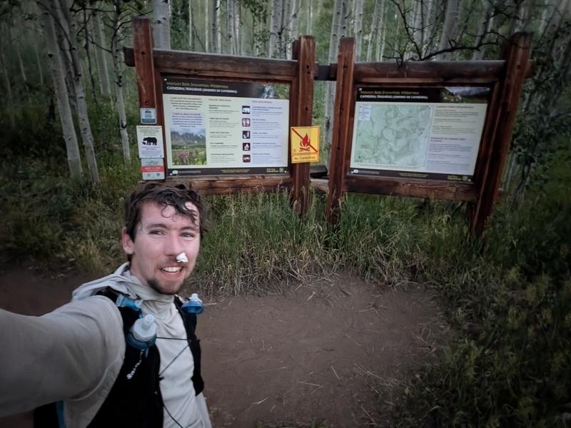
Part of reason I planned to bypass the ridge traverse was in case it was still dark when I got there after not sleeping. Ha! It was now 7:00 PM, and I was actually racing the next night's darkness instead! I reversed my route down the ridge, then dropped into the standard hardpan dirt gully, which was much less pleasant than last time when it was full of mud during an active monsoon pattern. I raced down the remaining boulder field, then a shuffled down the trail somewhere halfway between jogging and speed walking. I was surprised at my burst of energy, since there was no way my legs wanted to run down the trail from Triangle Pass earlier in the day. I realized I could make it in before 9:00 PM, so I picked up the pace and reached the trailhead just as darkness was starting to set in. Of course, I got my first nosebleed of the trip 2 minutes before the finish line picture. 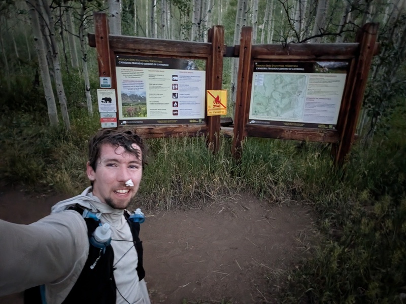
FKT link: https://fastestknowntime.com/fkt/alex-walker-centennial-elks-traverse-co-2026-07-12 Strava links: https://www.strava.com/activities/19288110824 https://www.strava.com/activities/19289551169 Stats
Splits
Final Thoughts Tim picked me up from the trailhead, making it back home at 1:00 AM Monday morning before going to work. As I finish typing this, I feel completely recovered and am about to head up to the mountains for my next weekend adventure. While this effort did not go remotely as planned, I'm still super happy to have experienced the route and set a new FKT! I think if I had been properly acclimated and was able to make it over Pyramid before dark, I likely could have set an unsupported time around 36 hours. I would have suffered a lot more in other ways (sleep deprivation) in that case though. I think a faster runner headed the smarter direction (westbound) with better strategy could go well below the 30 hour mark. Besides, it's just 3 extra peaks beyond the 17 hour 14er Elks Traverse FKT, how hard could it be? :) Huge thanks to Andrew Hamilton and Andrea Sansone for pioneering this linkup, and to all the 14er Elks Traverse runners for refining the routes between peaks! Also massive thanks to Tim for spending all weekend driving me around and hiking supplies to me. Thumbnails for uploaded photos (click to open slideshow): 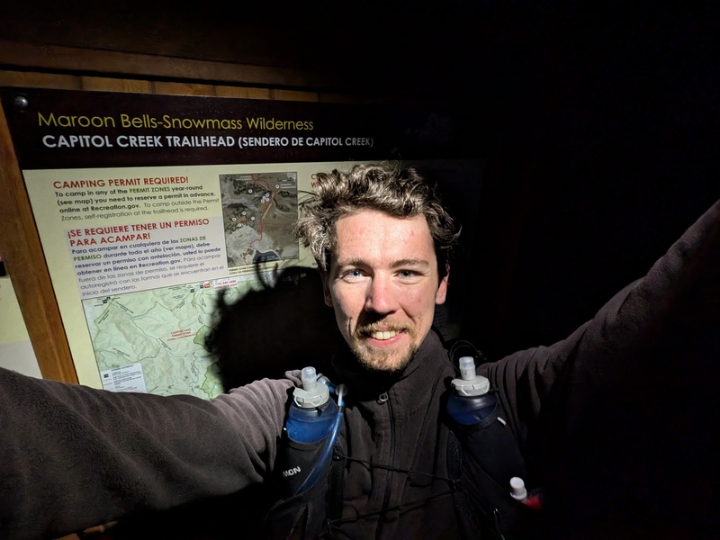
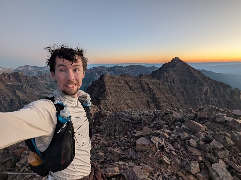
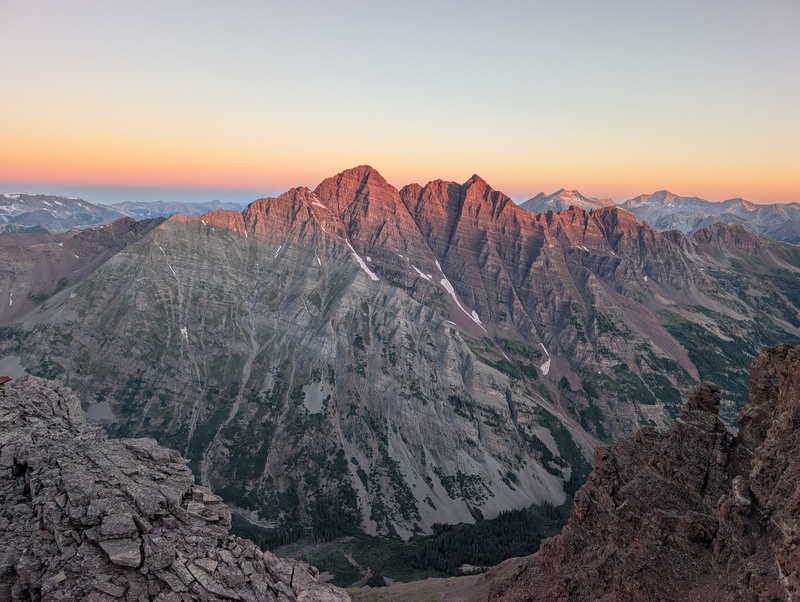
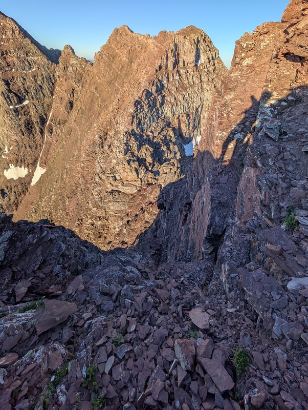
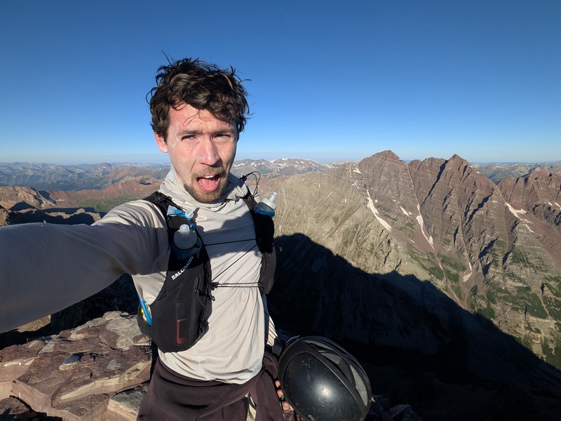
|
| Comments or Questions | ||||||||||||||||||
|---|---|---|---|---|---|---|---|---|---|---|---|---|---|---|---|---|---|---|
|
Caution: The information contained in this report may not be accurate and should not be the only resource used in preparation for your climb. Failure to have the necessary experience, physical conditioning, supplies or equipment can result in injury or death. 14ers.com and the author(s) of this report provide no warranties, either express or implied, that the information provided is accurate or reliable. By using the information provided, you agree to indemnify and hold harmless 14ers.com and the report author(s) with respect to any claims and demands against them, including any attorney fees and expenses. Please read the 14ers.com Safety and Disclaimer pages for more information.
Copyright: Route information, text, risk factors, maps, GPX files, charts, photos, 14ers.com-created map imagery, flythroughs, and other content provided in this route description are copyrighted by 14ers.com and may not be copied, reproduced, republished, distributed, modified, or used to create derivative works without prior written permission.
Please respect private property: 14ers.com supports the rights of private landowners to determine how and by whom their land will be used. In Colorado, it is your responsibility to determine if land is private and to obtain the appropriate permission before entering the property.