Log In 
Elevation 13,216' (LiDAR)
Prev Elevation 13,218'
CO Rank 474
CO 13er Rank 421 of 582
Range San Juan
Irving Peak

13ers Within 5 Miles

Irving Peak (0.00 mi) "North Irving" (0.36 mi) Unnamed 13027 (0.85 mi) Mt. Oso (1.20 mi) "Mt. SoSo" (1.28 mi) Unnamed 13323 (1.37 mi) Unnamed 13058 (1.70 mi) Unnamed 13229 (1.88 mi) Peters Peak (1.96 mi) Unnamed 13350 (1.99 mi) "P 3" (2.09 mi) "P 2" (2.15 mi) "P 1" (2.45 mi) Unnamed 13144 (2.61 mi) Thunder Mountain (2.87 mi) "Weminuche Peak" (2.93 mi) Organ Mountain (3.06 mi) Echo Mountain (3.40 mi) Amherst Mountain (3.42 mi) Unnamed 13164 (3.48 mi) Greylock Mountain (3.65 mi) McCauley Peak (3.74 mi) Emerson Mountain (3.82 mi) "Peak Twenty Two" (3.95 mi) "Peak Twenty One" (4.01 mi) Grizzly Peak (4.04 mi) Sheep Mountain (4.28 mi) Mt. Valois (4.36 mi) "East Windom" (4.39 mi) Hope Mountain (4.48 mi) Unnamed 13171 (4.56 mi) Jupiter Mountain (4.67 mi) Florida Mountain (4.71 mi) "South Windom" (4.76 mi) Vallecito Mountain (4.91 mi)

Photos

Irving Peak and Nearby 13ers

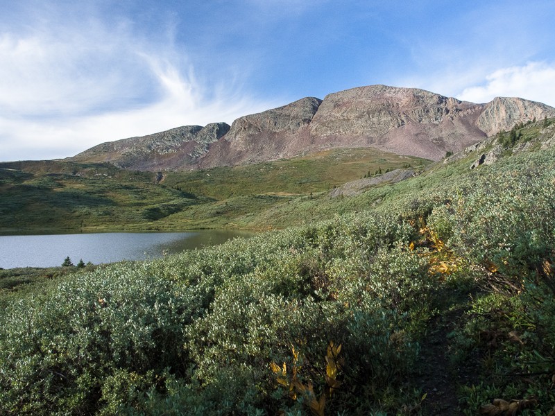
pic1
"South Windom" seen from the west
2019-09-14
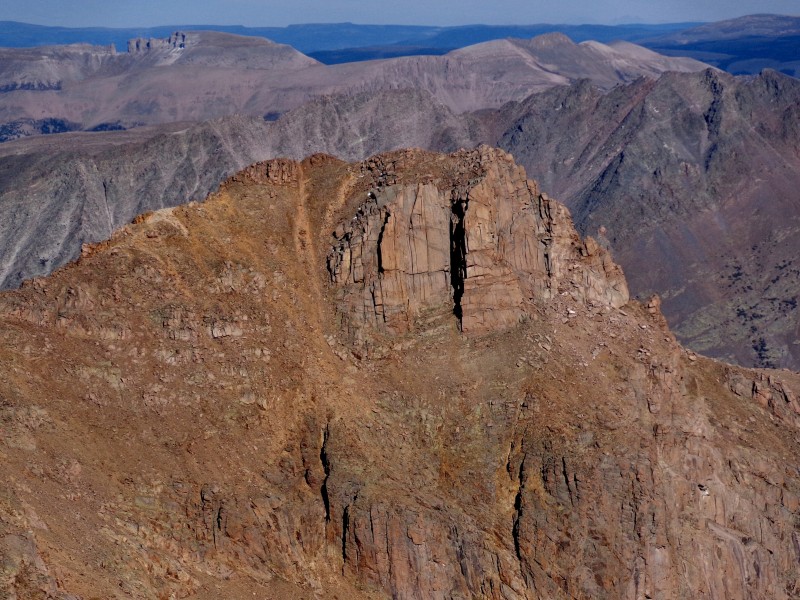
pic2
UN 13,030 viewed from "North Irving"
2019-08-19
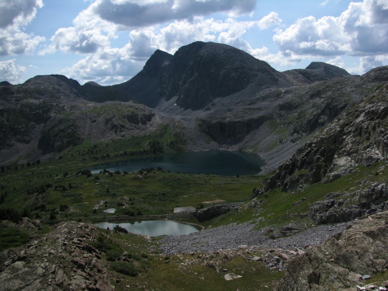
pic3
"North Irving" seen from "Soso&quot...
2019-08-19
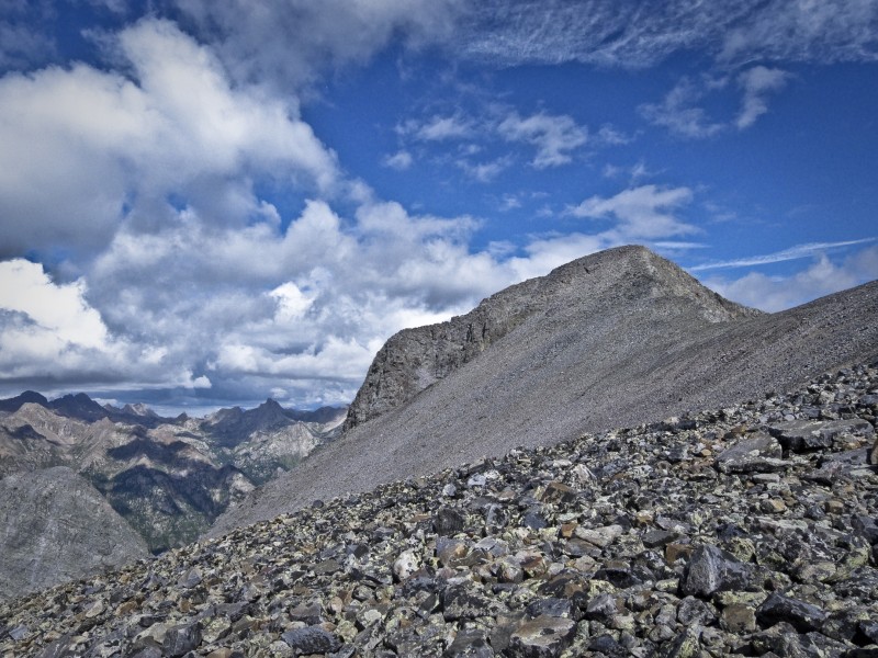
pic4
Florida Mountain seen from Silver Mesa summit
2018-08-04
pic5
Emerson Mountain from the N/NE
2018-08-04
pic6
UN 13,310 from the north
2017-09-11
pic7
UN 13,340 from the north
2017-09-11
pic8
Summit of 13,085 looking southwest.
2017-07-19
pic9
"P 1" seen along the ridge from "P ...
2017-05-07
pic10
Morning sun on Echo Mountain
2016-10-11
By: Kylie
pic11
UN 13302 (aka "P 2") seen from its southeast ridge
2014-10-28
pic12
UN 13300 B (aka "P 3") seen from the east
2014-10-28
pic13
UN 13222 A seen from the east
2014-10-28
pic14
UN 13140 C seen from Rock Lake
2014-10-28
pic15
"Mt Soso" seen from the northeast
2014-10-28
pic16
View from north; the peaks are labeled
2013-12-05
pic17
Mt. Valois from Florida Mountain
2013-11-27
pic18
Sheep Mountain from the North
2013-11-27
pic19
unnamed 13015 from slopes of Sheep Mtn
2013-11-27
pic20
Organ Mountain from Amherst saddle
2013-11-27
pic21
Amherst Mountain West Face
2013-11-27
pic22
unnamed 13169 from West Ute Lake
2013-11-27
pic23
Greylock Mountain seen from Jupiter Mountain
2012-10-13
pic24
McCauley Peak from near Hazel Lake
2012-08-29
pic25
PT 13121 from Greylock
2012-08-29
pic26
Thunder Mtn A from Greylock
2012-08-29
pic27
Hope Mtn from Hazel Lake
2012-08-29
pic28
Vallecito Mtn from Slopes of PT 12890 to south
2012-08-29
pic29
Peters Peak from Rock Lake
2012-08-14
By: rijaca
pic30
Weminuche Peak
2012-08-14
By: rijaca
pic31
Irving Peak from the SW
2011-09-07
pic32
Mount Oso from SE
2011-09-06
pic33
Grizzly Peak
2010-01-15
By: rijaca
pic34
Jupiter seen from just below Twin Lakes.
2010-01-10
pic35
East Face of Peters Peak from the large bench/ridg...
2024-11-26
pic36
Organ B from the east side of Amherst Mountain
2023-10-06
pic37
Organ Mountain from the east side of Emerson
2023-10-06
pic38
Peak 21 from the NW (spur trail E from Durango Cit...
2023-10-06
pic39
Looking southeast en route to Emerson
2017-07-19
pic40
Summit of 13,085 looking north towards Amherst.
2017-07-19
pic41
East Windom and the surroundings
2013-11-27
pic42
Weminuche Peak
2012-08-14
By: rijaca
pic43
Jupiter Mountain seen from approach to E couloir o...
2010-10-18
pic44
Jupiter Mountain, featuring Io couloir splitting t...
2010-10-18
pic45
Pole Creek Mtn., Vallecito Mtn., Mt. Silex, The Gu...
2009-01-01
pic46
Vallecito Mtn., Mt. Silex, The Guardian, Mt. Nebo ...
2009-01-01
pic47
Looking south from North Eolus.
2009-01-01
pic48
Jupiter (right) seen from Chicago Basin.
2009-01-01
pic49
Jupiter seen from just below Twin Lakes.
2009-01-01
pic50
Most of these peaks seen from Windom Peak.
2009-01-01
pic51
A closer look at Grizzly Peak and Jupiter Mountain...
2009-01-01
pic52
Jupiter seen from Chicago Basin.
2009-01-01
pic53
Mt. Oso and the surrounding 13ers seen from Windom...
2009-01-01
pic54
Mt. Oso from Windom Peak.
2009-01-01

Climbing Routes

Combo: Irving Lake Approach (Alternate) route  _
Combo: Irving Lake Approach (Alternate)
Difficulty: Difficult Class 2
Total Elevation Gain: 5,200'
Round-trip Distance: 21 mi
Combo: I Roell route  _
Combo: I Roell
Difficulty: Class 4
Total Elevation Gain: 5,568'
Round-trip Distance: 28.4 mi
Exposure: Considerable
Rockfall Potential: Considerable
Route-Finding: Moderate
Commitment: Considerable

Map

Human Verification Required

Trip Reports

  Peaks Climbed Added
  Weminuche Wanderings Pt. 1: O So Fun! Google Map Included GPX file available for download
By: yaktoleft13
Added: 8/6/2025
Irving Peak
Mt. Oso
"Mt. SoSo"
"P 1"
"P 2"
"P 3"
Unnamed 13229
Peters Peak
Unnamed 13144
"Weminuche Peak"
7/26/2025 8/6/2025 14  50
  Moon Lake 13ers Google Map Included GPX file available for download
By: Chipmunk
Added: 5/4/2025
Mt. Oso
"Mt. SoSo"
Irving Peak
"Weminuche Peak"
Peters Peak
"P 2"
"P 3"
Unnamed 13229
Unnamed 13350
Unnamed 13323
9/2/2023 5/4/2025 24  27
  From Rock Lake
By: WildWanderer
Added: 9/12/2022
Irving Peak
"North Irving"
9/3/2022 9/12/2022 3  48
  Eight Days in the Weminuche, Days 1-3: The BIG Rocks of Rock Creek Google Map Included GPX file available for download
By: supranihilest
Added: 12/14/2020
Unnamed 13350
Unnamed 13323
"Mt. SoSo"
Irving Peak
"North Irving"
Unnamed 13058
Mt. Oso
Unnamed 13144
"Weminuche Peak"
Point 12,961
7/12/2020 12/14/2020 17  75
  Laboring in the Weminuche: Rock Lake 13ers
By: benners
Added: 9/14/2017
Mt. Oso
Irving Peak
"Weminuche Peak"
Peters Peak
Unnamed 13229
"P 3"
"P 2"
"Mt. SoSo"
Unnamed 13323
Unnamed 13350
9/2/2017 9/14/2017 18  1
  Wandering in Weminuche - Sunlight Creek to Rock Creek (Part I) Google Map Included
By: SnowAlien
Added: 9/7/2017
Peak Ten
Jagged Mountain
Mt. Oso
Irving Peak
"Mt. SoSo"
"Weminuche Peak"
"North Irving"
Unnamed 13144
Unnamed 13323
Unnamed 13350
8/26/2017 9/7/2017 14 
April Fools
By: Manky
Peak(s): Irving Peak
Added: 5/14/2011
Irving Peak 4/1/2011 5/14/2011 4  24
  Deep Weminuche: The Storms. Part 1
By: Furthermore
Added: 7/30/2010
Irving Peak
Mt. Oso
"Weminuche Peak"
Peters Peak
Unnamed 13229
7/25/2010 7/30/2010 3  30