Download Agreement, Release, and Acknowledgement of Risk:
You (the person requesting this file download) fully understand mountain climbing ("Activity") involves risks and dangers of serious bodily injury, including permanent disability, paralysis, and death ("Risks") and you fully accept and assume all such risks and all responsibility for losses, costs, and damages you incur as a result of your participation in this Activity.
You acknowledge that information in the file you have chosen to download may not be accurate and may contain errors. You agree to assume all risks when using this information and agree to release and discharge 14ers.com, 14ers Inc. and the author(s) of such information (collectively, the "Released Parties").
You hereby discharge the Released Parties from all damages, actions, claims and liabilities of any nature, specifically including, but not limited to, damages, actions, claims and liabilities arising from or related to the negligence of the Released Parties. You further agree to indemnify, hold harmless and defend 14ers.com, 14ers Inc. and each of the other Released Parties from and against any loss, damage, liability and expense, including costs and attorney fees, incurred by 14ers.com, 14ers Inc. or any of the other Released Parties as a result of you using information provided on the 14ers.com or 14ers Inc. websites.
You have read this agreement, fully understand its terms and intend it to be a complete and unconditional release of all liability to the greatest extent allowed by law and agree that if any portion of this agreement is held to be invalid the balance, notwithstanding, shall continue in full force and effect.
By clicking "OK" you agree to these terms. If you DO NOT agree, click "Cancel"...
Oso 13,684
Point "Soso" 13,417
Point 13,340 A
Point 13,310
Point 13,302
Point 13,300 C
Point 13,230 B
Point 13,222 B
"Weminuche" 13,220
Irving Peak 13,218
Mt Nebo 13,205
Point 13,169
Hunchback Mountain 13,136
Peters Peak 13,122
Point 13,110
"Mt Lobo" 12,965
Point 12,961
Point 12,911
Point 12,882
Point 12,673
July 24-29 2010 Trailhead: Hunchback Pass Trailhead outside of Beartown. 4WD required Six Day Totals: ~58.9 Miles, ~26,500 Gain.
I would like to thank Teresa Gergen, Ken Nolan and Steve Gladbach for the beta they provided to minimize the "surprises."
Now are you ready to read a novel?
Day 1: July 24th
~9.6 Miles, ~2,700 Gain
With 11 days off, there is nothing better than to go climb some remote peaks. I left Denver at 7:00 AM and made the long drive towards Creede. I was hoping for better weather when I arrived in the vicinity of Beartown and was planning on sneaking in Sheep Mountain and Greenhalgh that afternoon, car camp and then make the approach to Rock Lake the next day. Unfortunately, the weather wasn't going to corporate for that easy duo. Massive storms were brewing.
I left my car at the Hunchback Pass trailhead and started hiking up the trail towards hunchback pass at 2:30 PM with seven days of supplies. My camp pack was just under 35 lbs. As I approached the top of the pass, there was a massive thunderstorm overhead so I hurried down into the Vallecito drainage. As I got lower, it began to rain. Hard. I jogged when I could on the trail in an attempt to make it to Rock Lake before dark. I wasn't planning on leaving so late for this long approach and was originally planning on a full day for the approach.
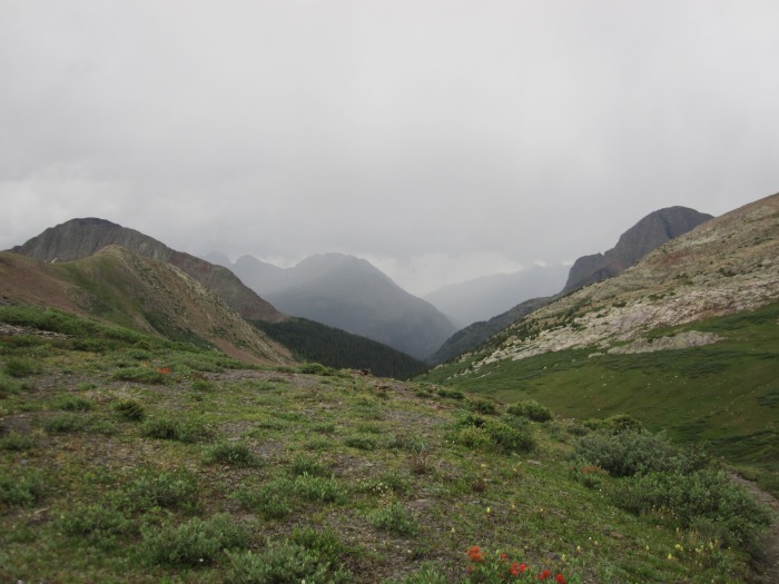
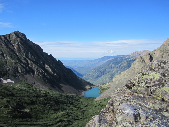
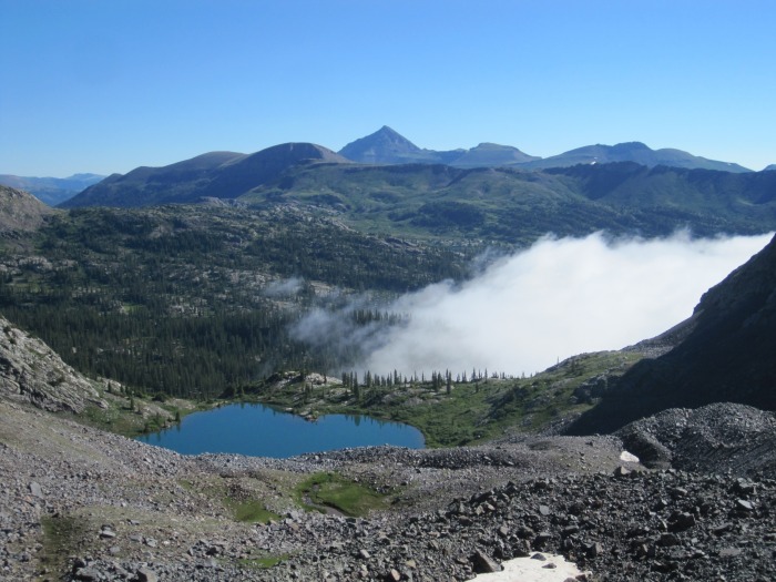
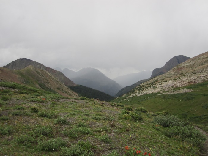
Vallecito Valley from the top of Hunchback pass.
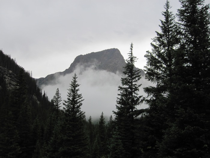
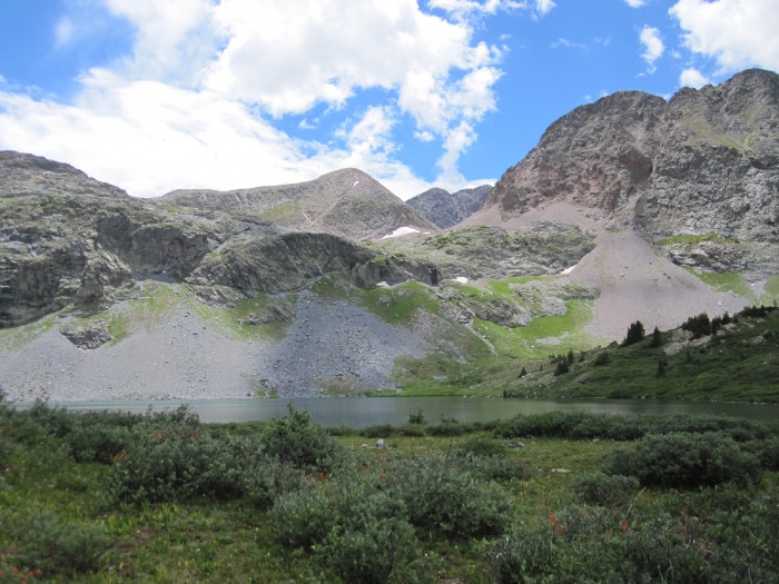
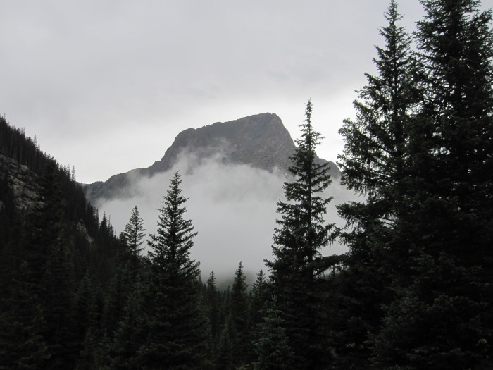
The Guardian from hiking up the Rock Creek Drainage. Day 1
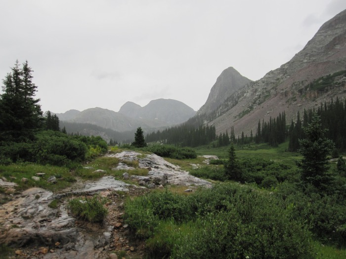
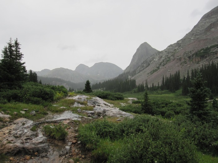
Looking up the Rock Creek Drainage. Buffalo Peak on the right.
Fortunately, the trail to Rock Lake is a good one and I arrived at camp just below the lake around 7:00 PM. It was still raining. I cooked dinner and I got into my bivy sack. No tent for this trip.
Day 2: July 25th
~ 10.4 Miles, ~ 5,900 Gain Irving Peak 13,218, Oso 13,684, Point 12,961
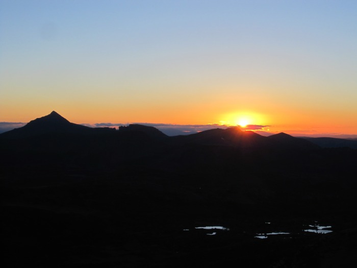
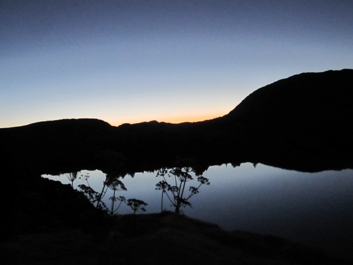
The alarm went off at 4:00 AM. I ate breakfast, packed all my stuff up and hung my gear high in a tree so the marmots wouldn't go to town on it. I was hiking up the trail at 4:30 AM. Shortly after Rock Lake, I lost the trail going over the pass towards Moon Lake. It was a talus hop to the top of the pass. From the top of the pass, I climbed another 200 feet up a ridge towards Mt. Oso and dropped into a small basin heading for the "Soso"-Oso saddle and where I arrived at the saddle just after sunrise.
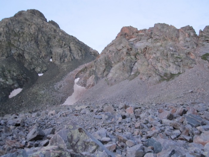
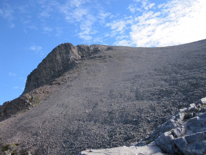
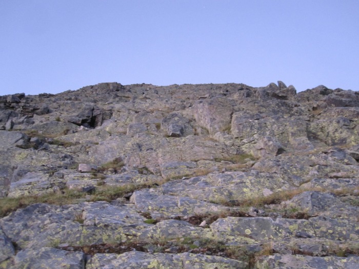
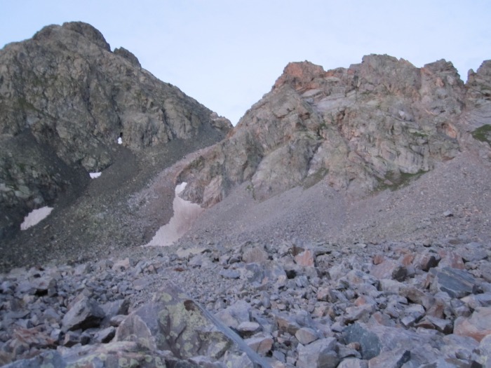
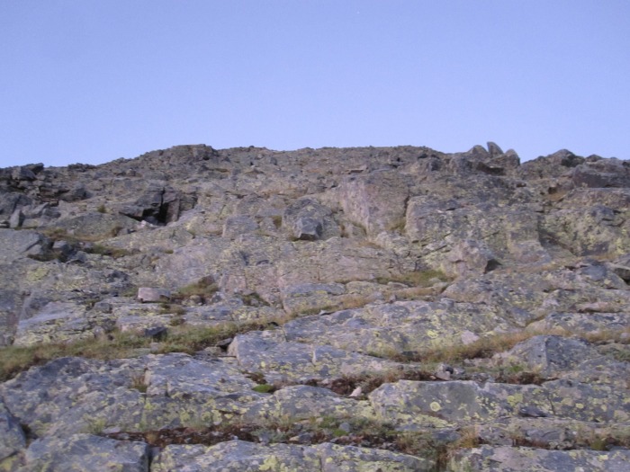
The gully I took to the Oso-"Soso" saddle.
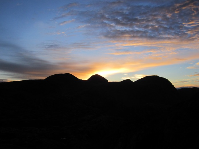
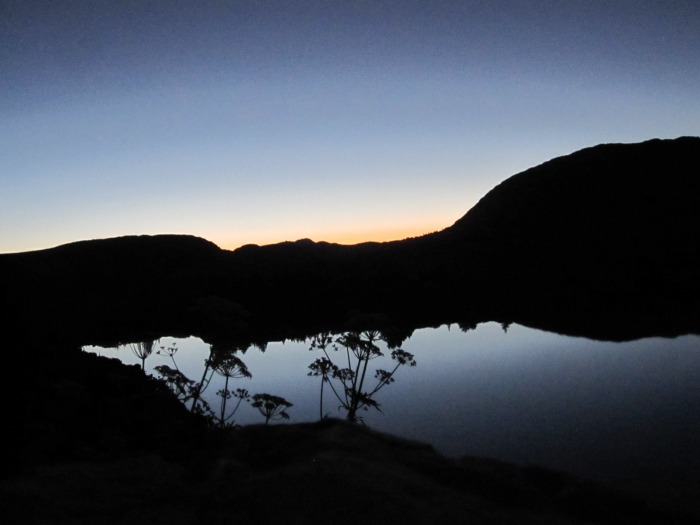
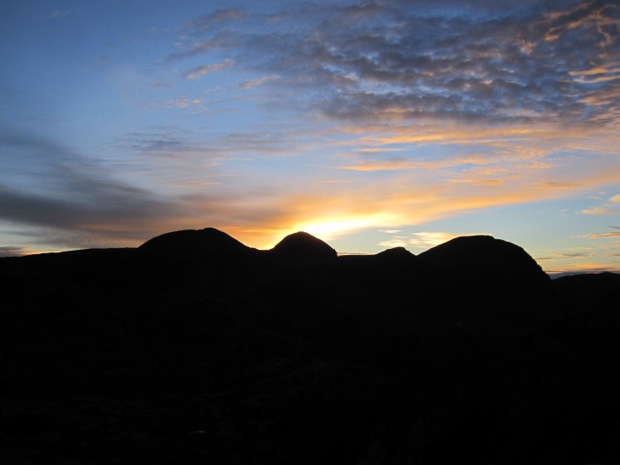
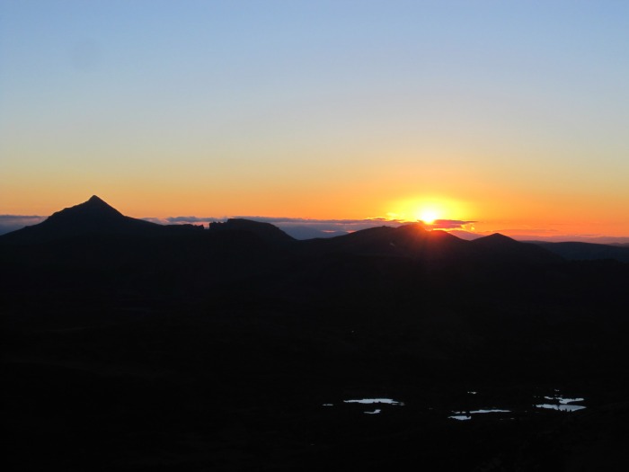
Sunrise over Weminuche Peak.
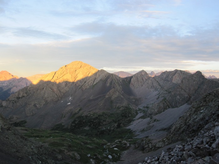
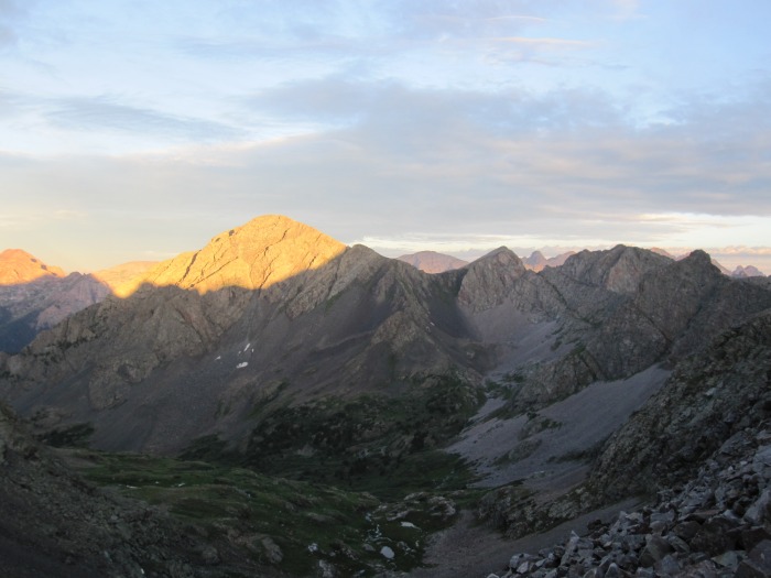
Morning light on Irving.
Since Irving Peak was so far away from camp, I decided to climb it first. Who knew what the weather was going to do. From the "Soso"-Oso saddle, I descended into the basin towards Irving Lake, skirted around the north side of basin at ~12,000 feet and climbed up to the Point 13,006- Irving saddle. The last bit of climbing to the saddle was rather steep on loose mud. Once I reached the saddle, I climbed the class 2 north ridge to Irving's summit where I arrived at 7:50 AM. Great views of the Windom group and Jagged. I returned to the saddle and descended back into the basin towards Irving Lake.
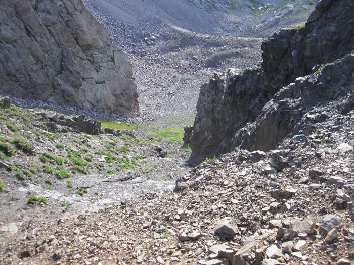
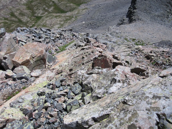
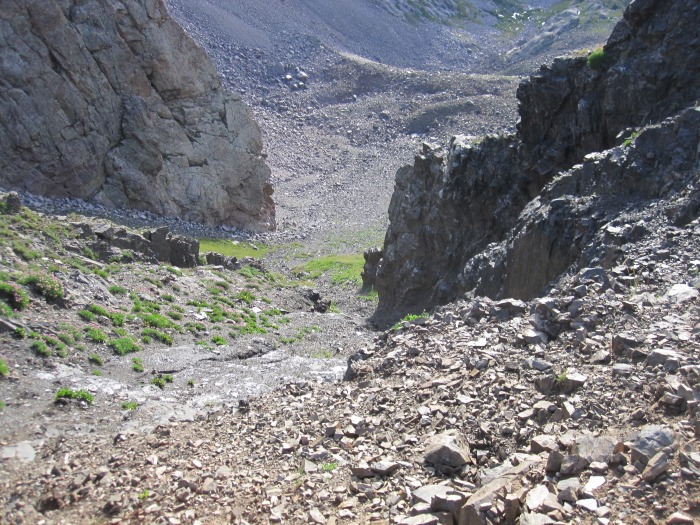
Looking down the steep gully I took to get to the north ridge of Irving.
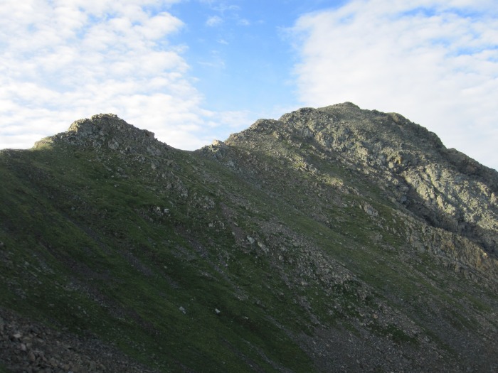
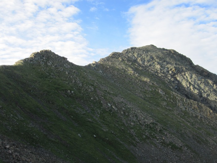
The north ridge of Irving.
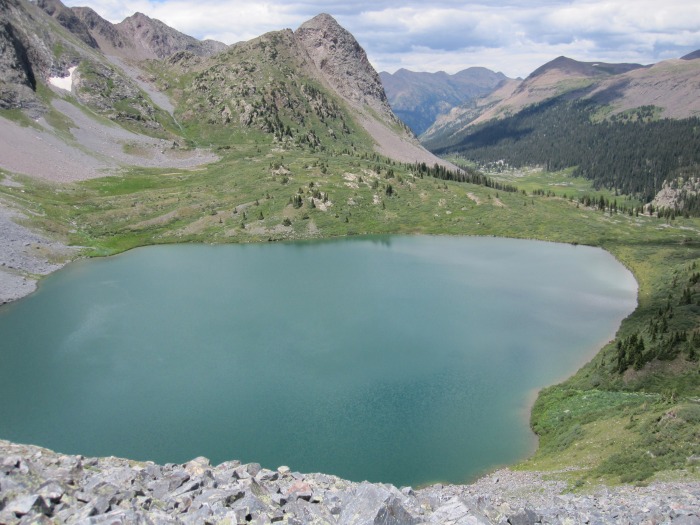
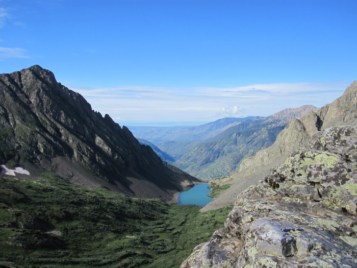
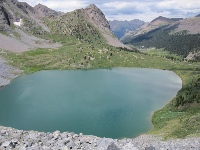
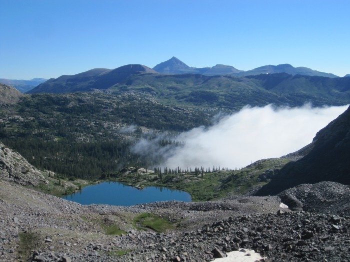
Irving Lake from the summit of Irving.
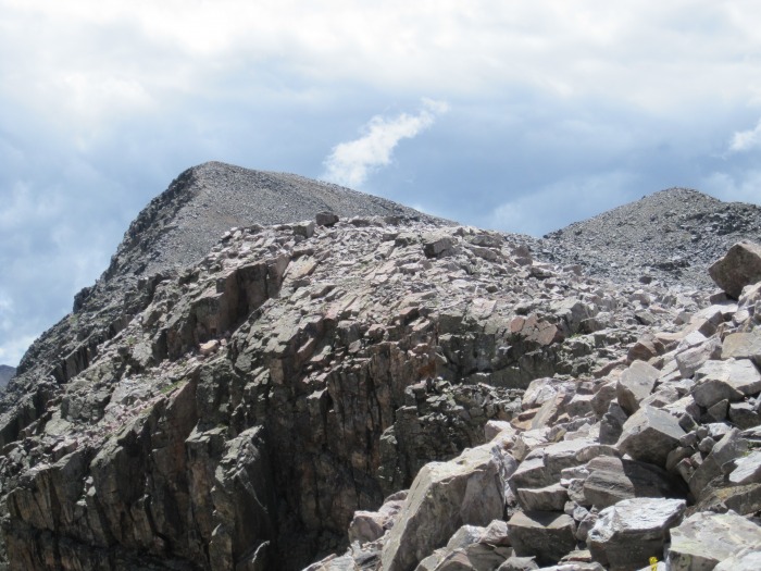
Instead of returning to the "Soso"-Oso saddle, I climbed to the Point 12,884-Oso saddle. Some short class 3 moves through some cliff bands were required to gain the saddle. From the saddle, I climbed towards Oso's false south summit. Initially some class 3 climbing was encountered but the ridge mellowed out and was a fairly solid talus climb to the false summit. From the false summit, it was an easy stroll to the real summit where I arrived at 10:00 AM. Some weather looked like it was building but nothing threatening, yet.
My stay on the summit of Oso was short and I worked my way back to the false summit. The ridge back to the "Soso"-Oso saddle isn't an easy hike. Apparently, there is an easy way back to the basin to the north but I didn't find the route. The peak was dark when I approached earlier so I didn't pay much attention to a descent route. From the false summit, I headed southwest down a talus ridge until I found a gully that took me closer to the saddle. I descended the gully to ~12,600 and to avoid elevation loss, I traversed on some class 3 ledges to gain the "Soso"-Oso saddle.
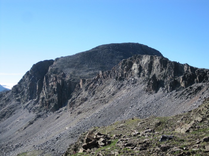
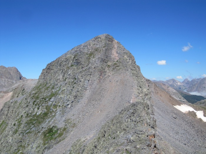
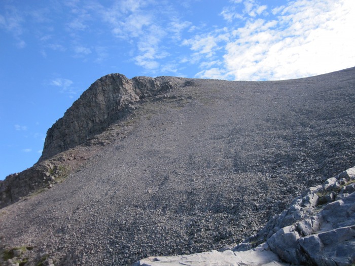
Mt Oso.
The weather wasn't looking good enough to climb "Soso" or the other 2 13eeners to the south. If I was going to make the effort for those 3 peaks, I wanted to make sure the weather was going to hold out. I headed back towards the pass between Rock Lake and Half Moon Lake and the weather was holding out. From the pass I decided to try to climb "Weminuche" and Point 12,961. I headed up a talus slope towards the "Weminuche"-12,961 saddle. Once at the saddle it was an easy talus hop to the summit of 12,961 where I arrived at 1:00 PM. As I worked my way back to saddle, clouds were beginning to build fast. I decided to bail on "Weminuche" and return back to camp.
Summit of Point 12,961
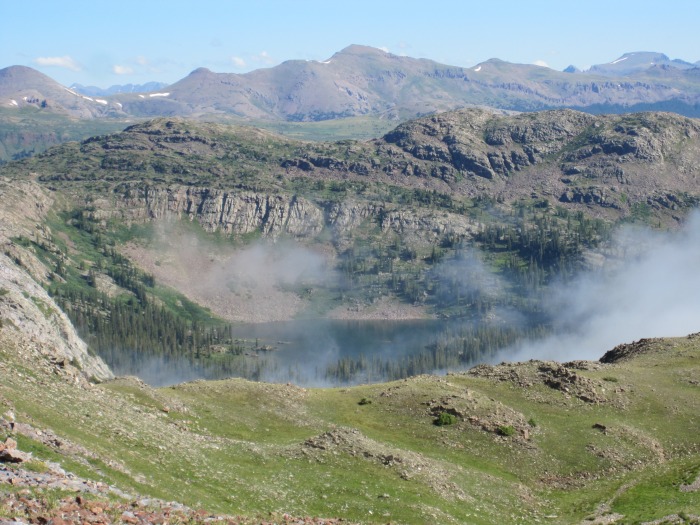
Rock Lake from the Rock Lake-Half Moon Lake saddle.
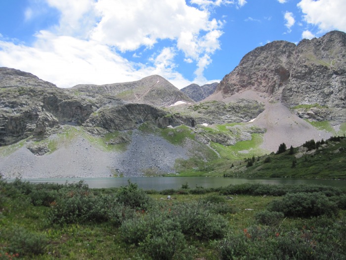
Rock Lake.
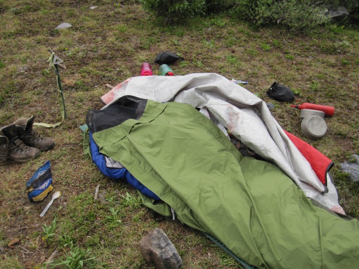
I arrived back at camp at 2:20 PM and shortly thereafter the rain started. It rained and continued to rain. I ended up dozing off several times and during one of my dozes, I left the upper hatch on my bivy sack open and when I woke up I was wet. Really wet. I was hoping for a break in the rain but didn't get one. I ended up pumping water and cooking dinner in the rain. Just getting all my gear wet.
Nevertheless, it was the hardest night of the trip for me mentally. I was wet and miserable and the rain continued to fall. It rained for a good solid 7 hours straight and then misted for a few hours after that. Let me tell you, that f*#@ing sucks in bivy sack. Snow is way better than rain. At one point, I was considering just packing up and hiking back to the car but I managed.
Day 3: July 26th
~ 6.0 Miles, ~ 2,900 Gain Point 12,882, Mt "Lobo" 12,965, "Weminuche" 13,220
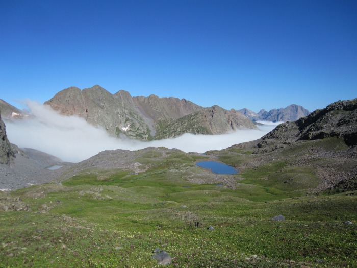
Since everything I had was wet, I decided to sleep in and let the sun dry my gear out before I did any more climbing. I woke up to sunny skies at 7:00 AM and was hiking at 8:20 AM. Fortunately things dried out fast in the sun. I started my hike back up the pass between Rock Lake and Half Moon Lake, and could find the trail fairly easily now in the daylight. I left the trail at 12,100 at a small lake before the top of the pass and headed east towards the "Weminuche"- 12,840 saddle. It was a talus hop to the saddle and I could see morning fog rolling up the valley which made for some excellent views.
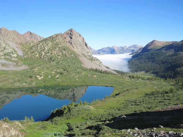
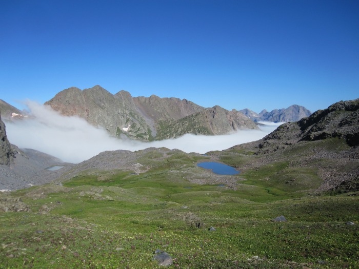
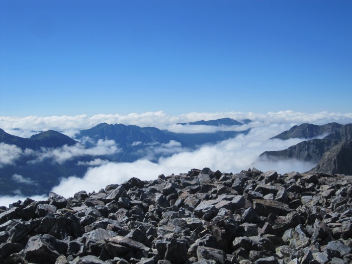
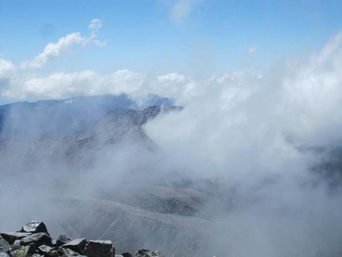
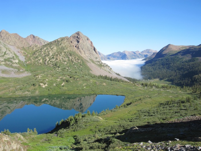
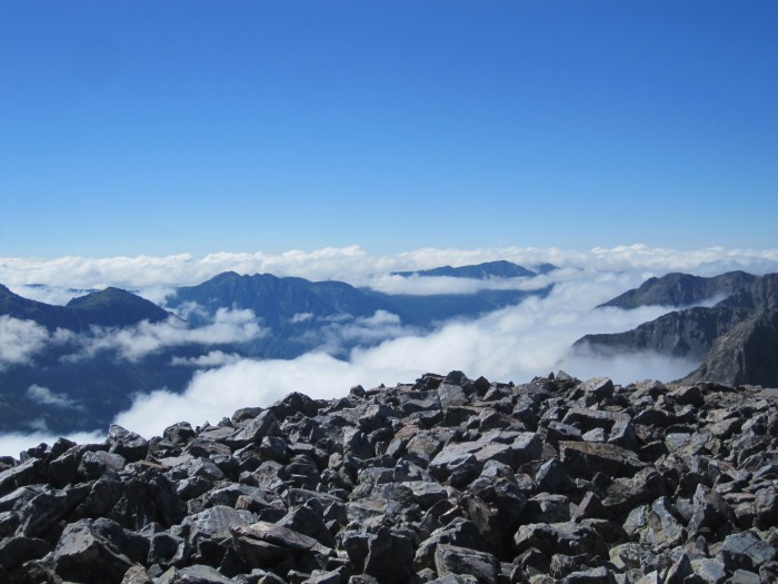
Clouds creeping up Rock Creek Drainage on day 2.
Clouds creeping up Rock Creek Drainage on day 2.
From the "Weminuche"-12,840 saddle I continued east traversing down a small valley and back up to the Point 12,882-"Lobo" saddle. That was some arduous talus hoping. At the saddle, I ditched my pack and made the class 2 hike to the summit of Point 12,882 where I arrived at 10:50 AM. Excellent views of the Rio Grande Pyramid. I returned to my pack and made the quick climb to the northern edge of "Lobo" I climbed up the class 2 north ridge of "Lobo" and arrived on the summit at 11:40 AM. Some clouds were started to build.
Traversing towards 12,882.
More clouds.
Neat Clouds.
Summit view from 12,882.
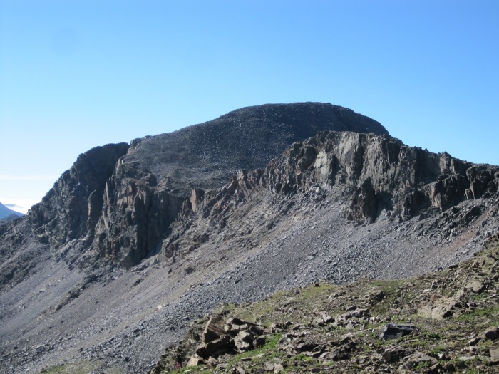
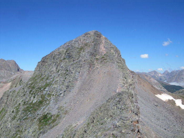
"Weminuche" doesn't look very easy from Mt. "Lobo" but I knew that there was a route. I descended to the "Lobo"-"Weminuche" saddle and climbed upward. It started as class 2 and near the summit some class 3 climbing was encountered. Nothing very difficult or exposed. I arrived on the summit of "Weminuche" at 1:20 PM with some unique clouds rolling up and off of nearby peaks. The last time I witnessed clouds like this, I was almost electrocuted 2 hours later. I stayed on the summit for a while watching the dancing clouds as they weren't threatening yet.
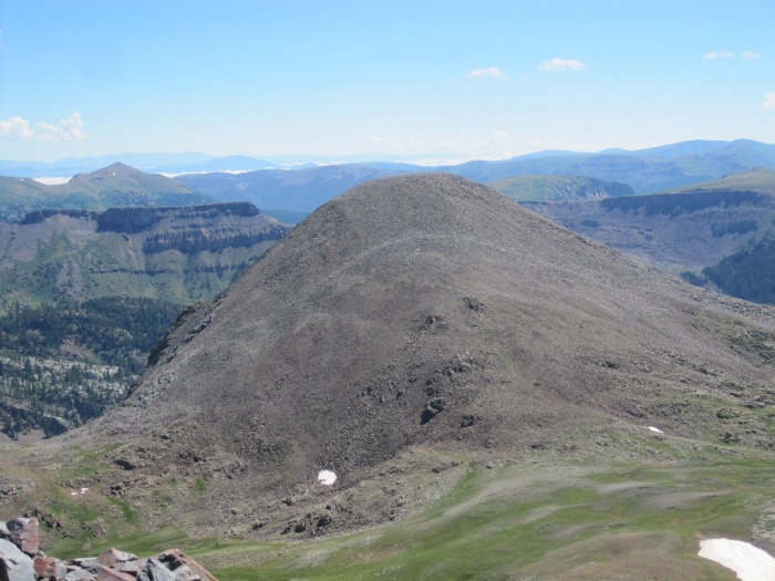
Weminuche from Mt. Lobo.
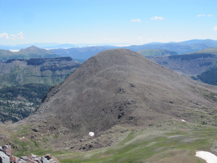
Point 12,882 from Lobo
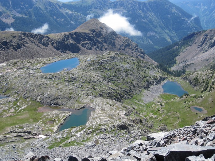
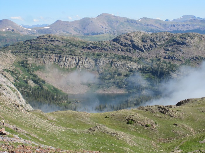
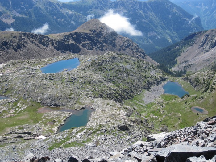
Pretty Lakes from Lobo
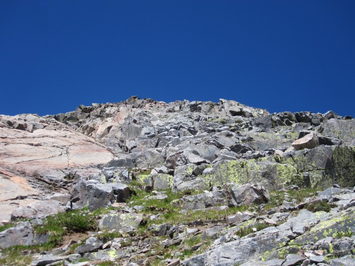
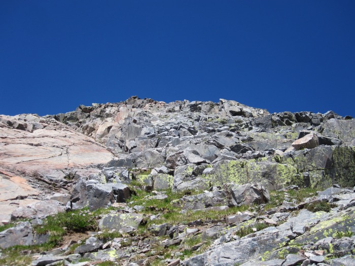
Looking up the east ridge of Weminuche.
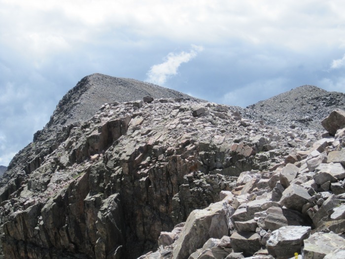
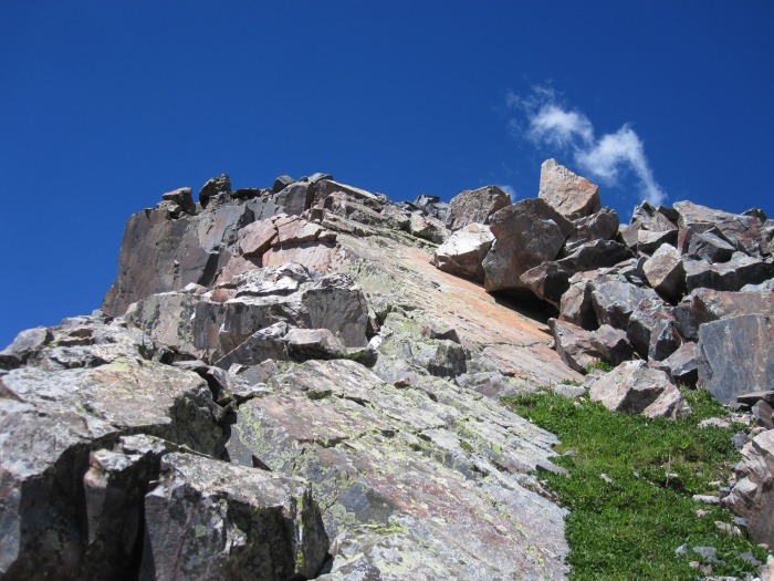
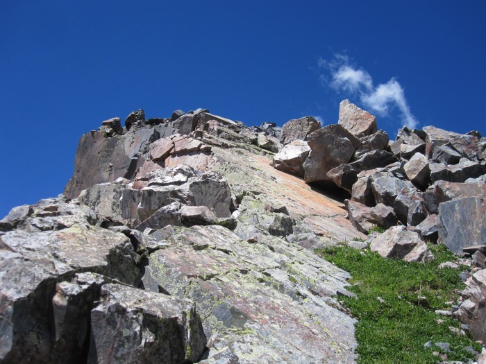
Class 3 scrambling on Weminuche.
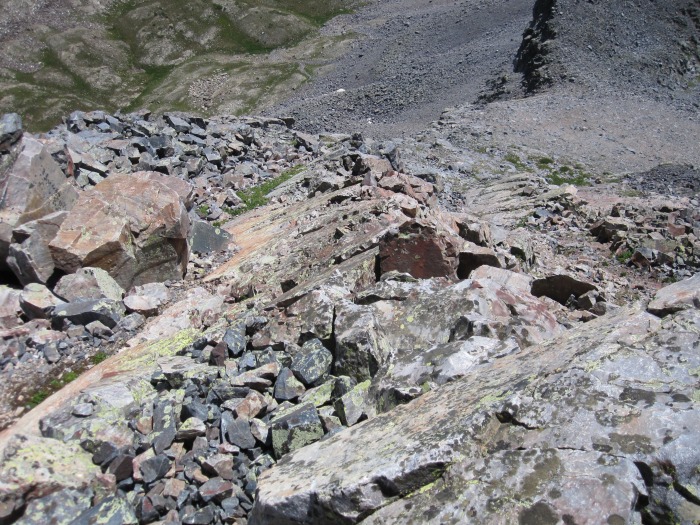
Looking down on the class 3 on Weminuche's east ridge
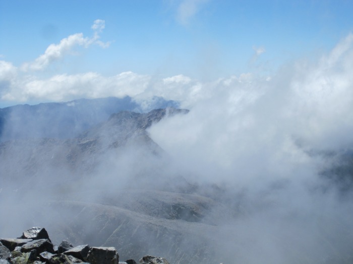
Dancing clouds.
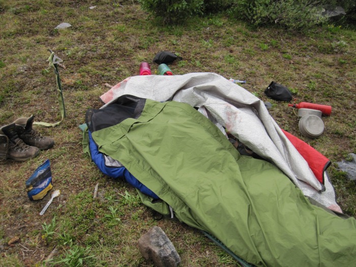
I climbed down the talus west ridge of "Weminuche" to the "Weminuche"-12,961 saddle and then returned to camp via the Half Moon-Rock Lake pass. Around 5:00 PM it started to rain. This time, I had my bivy sack figured out and I didn't get wet. It finally stopped raining around 9:30 PM.
Bivy time.
Day 4: July 27th
~7.0 Miles, ~4,100 Gain
Peters 13,122, Point 13,222B, Point 13,300 C, Point 13,302
With the recent trend in bad weather, I knew an early start was mandatory. Also, I knew today was going to be the hardest day technically. I woke up at 4:30 AM and was hiking by 5:00 AM towards the Buffalo-Peters saddle. After wandering through some willows and some talus hopping, I reached the saddle as the sky started to light up. I looked for an easy path to the Peters-13,222 saddle but nothing was really obvious.
Most peaks didn't have registers. Irving had the most names with a few names already this year; I assume that's due to a day trip from Vallecito TH. With others registers, the last entries went back to 2008. Pretty secluded area.
I suppose this thread is dead, but I am planning on going to Rock Lk from the Endlich Mesa TH starting 21 June 2014. What do you suppose the conditions are up there right now as far as snow? And the same question for Columbine Pass. How far below Rock Lk did you camp? And how far down the drainage would be safer from a lightning standpoint?
for the blueprint Derek - the route descriptions, the photos and the map! all very helpful in solving the Oso group puzzle.
Caution: The information contained in this report may not be accurate and should not be the only resource used in preparation for your climb. Failure to have the necessary experience, physical conditioning, supplies or equipment can result in injury or death. 14ers.com and the author(s) of this report provide no warranties, either express or implied, that the information provided is accurate or reliable. By using the information provided, you agree to indemnify and hold harmless 14ers.com and the report author(s) with respect to any claims and demands against them, including any attorney fees and expenses. Please read the 14ers.com Safety and Disclaimer pages for more information.
Copyright: Route information, text, risk factors, maps, GPX files, charts, photos, 14ers.com-created map imagery, flythroughs, and other content provided in this route description are copyrighted by 14ers.com and may not be copied, reproduced, republished, distributed, modified, or used to create derivative works without prior written permission.
Please respect private property: 14ers.com supports the rights of private landowners to determine how and by whom their land will be used. In Colorado, it is your responsibility to determine if land is private and to obtain the appropriate permission before entering the property.