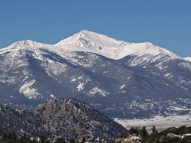
Frequently Asked Questions about Mt. Yale
Can a standard 2WD passenger car reach the Mount Yale trailhead?
Yes, absolutely. The standard route begins at the Denny Creek Trailhead, which is located directly off Chaffee County Road 306 just west of Buena Vista. The entire access road and the trailhead parking lot are fully paved, making it completely accessible to all standard 2WD vehicles, and low-clearance passenger cars.
What is the terrain like on the final summit push of Mount Yale?
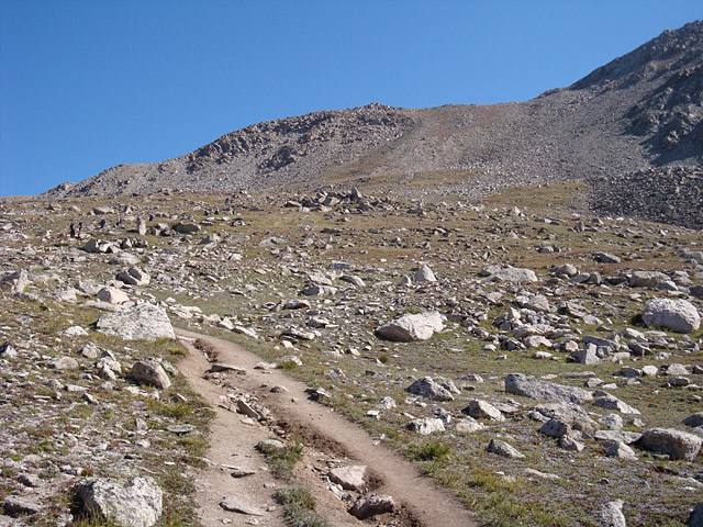
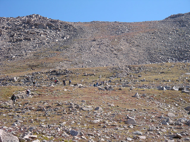
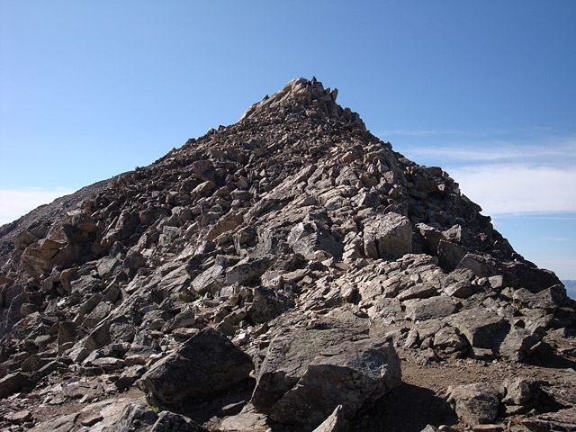
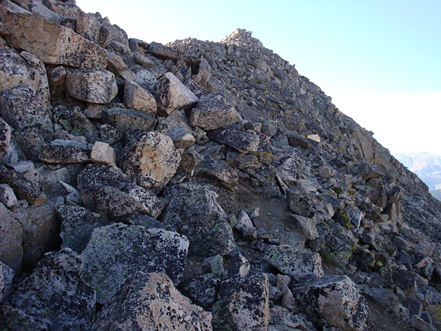
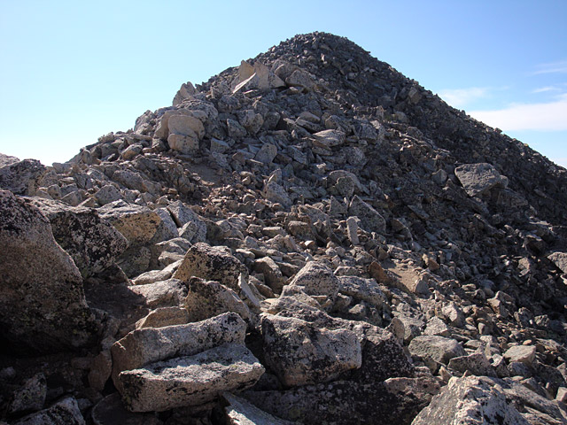
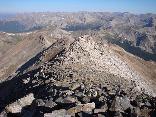
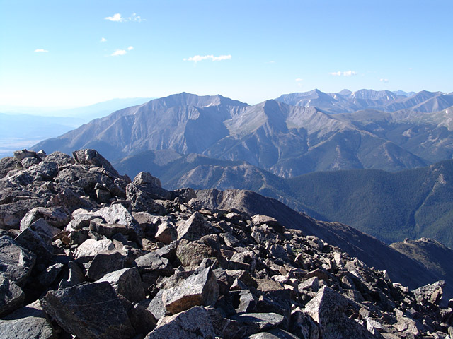
While the first four miles of the hike are spent on a defined dirt trail through the forest and alpine basins, the final 200 vertical feet transition into rugged talus blocks. To reach the actual true summit, you must leave the dirt path and work your way through the solid boulders. The summit area itself is fairly large, offering dramatic, airy 360-degree exposure looking straight down into the neighboring valleys.
What is the East Ridge route on Mount Yale and how does it compare to the standard trail?
The East Ridge route (approached via Avalanche Gulch) is a more rugged Class 2 alternative to the standard trail. It completely avoids the heavy crowds of Denny Creek but requires you to hike up steep, loose dirt slopes and navigate a long, unmaintained alpine ridge. It is slightly longer and demands solid off-trail route-finding skills, making it a great choice for experienced hikers seeking a bit more solitude.
Do I need to backpack and camp overnight to hike Mount Yale?
No, you do not. While there are beautiful backcountry camping options along the trail, the vast majority of hikers complete Mount Yale as a standard single-day hike. Because the trailhead sits directly off a paved highway and the round-trip distance is a manageable 9.5 miles, a reasonably fit hiker can complete the entire peak and return to their car in 5 to 8 hours without carrying heavy overnight gear.
Additional Mt. Yale History