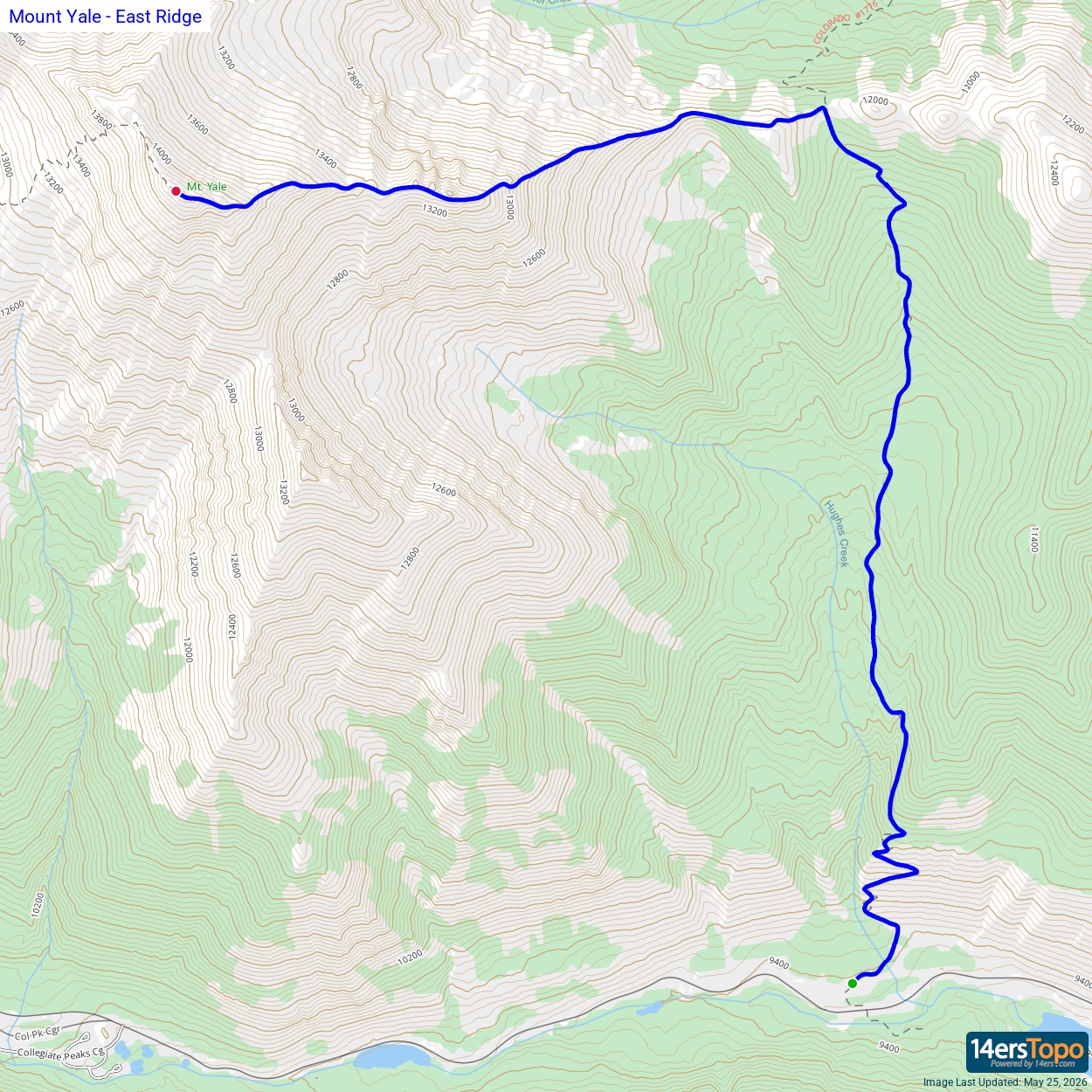
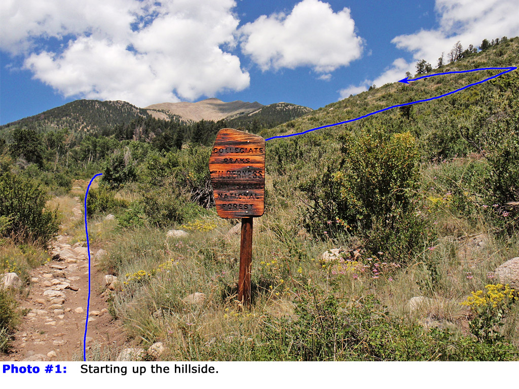
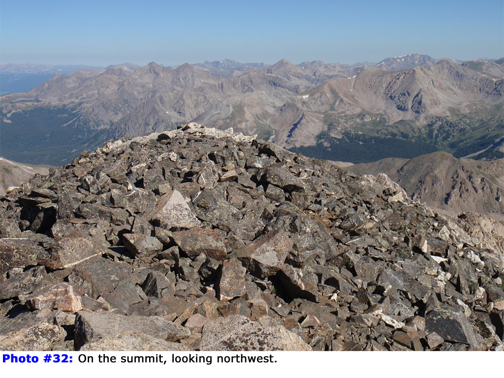
From the north side of the lot and start up the excellent trail (also the Colorado Trail). Walk through the trees and ascend a hillside (
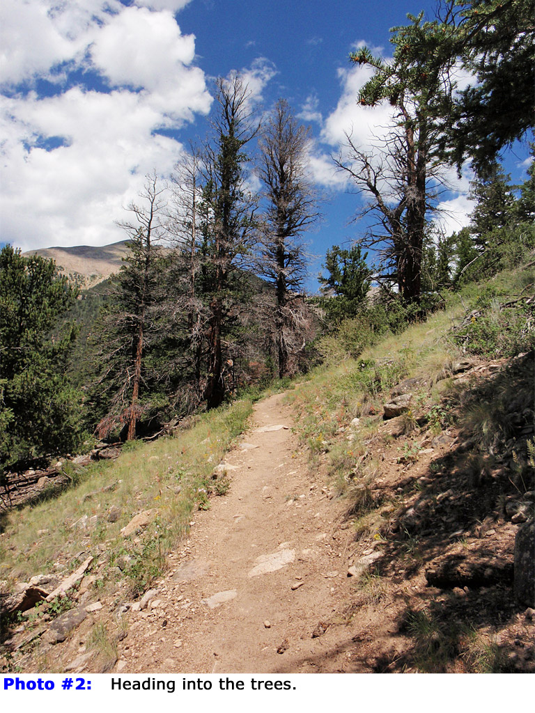
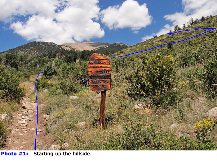
1) before re-entering the trees near 10,100' -
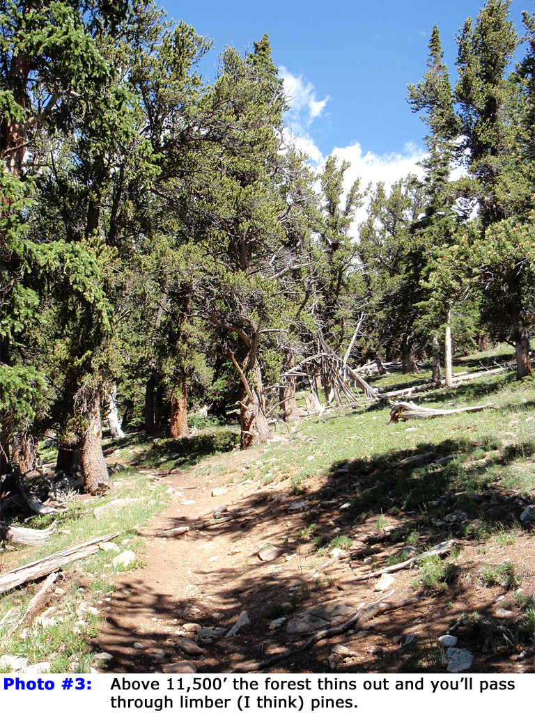
2. Follow the trail (
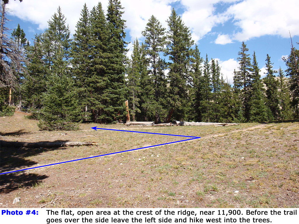
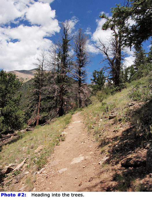
3) north for a total of 3.25 miles to an open area on the ridge crest, near 11,900' -
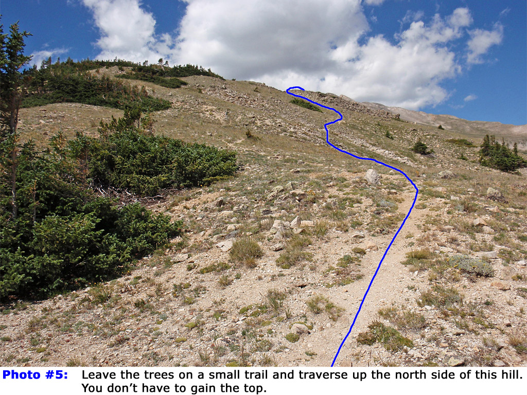
4. Before the trail goes over to the north side, turn left, leave the trail and hike west into the trees. Walk about 100 yards west and pick up a small trail leaving the trees. Traverse up the north side of a hill (
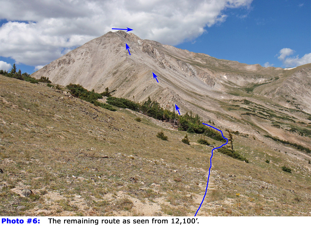
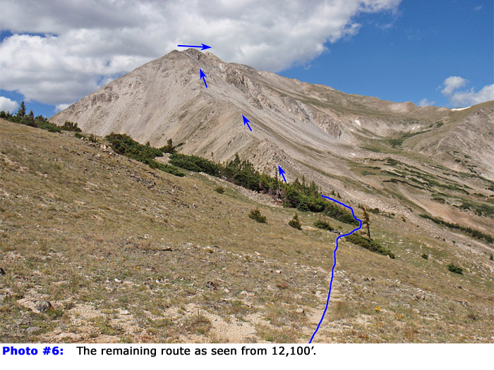
5) to get your first view of Yale's east ridge -
6.
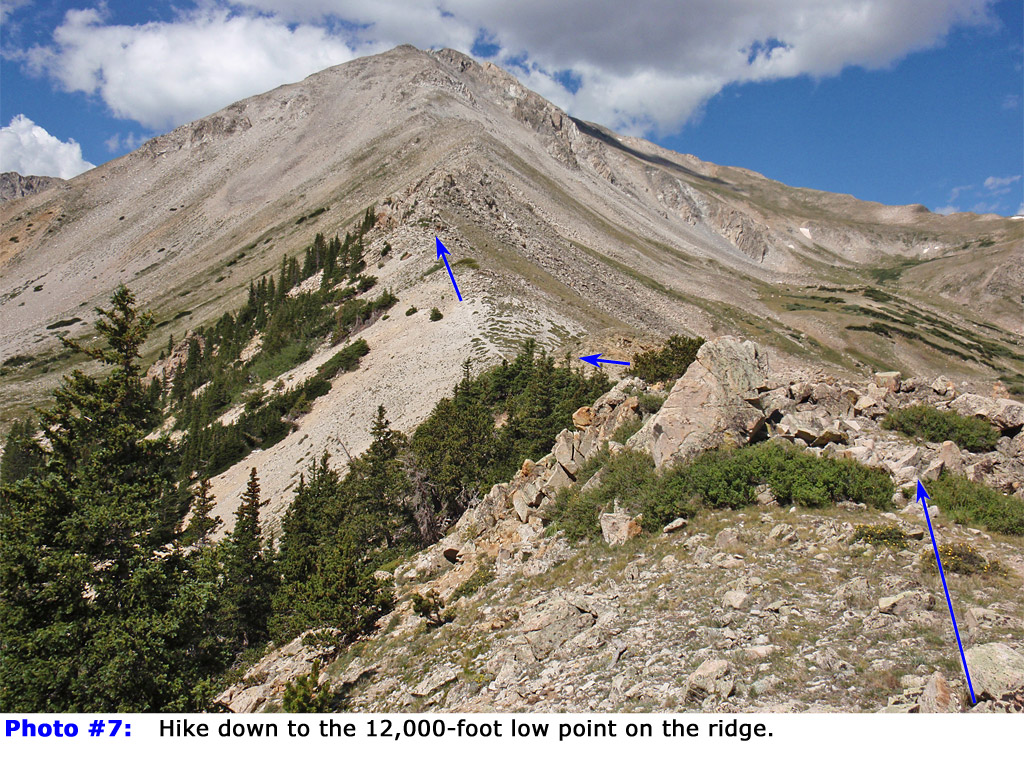
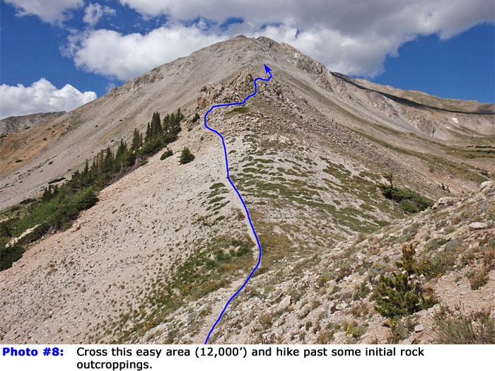
Descend west along the ridge (
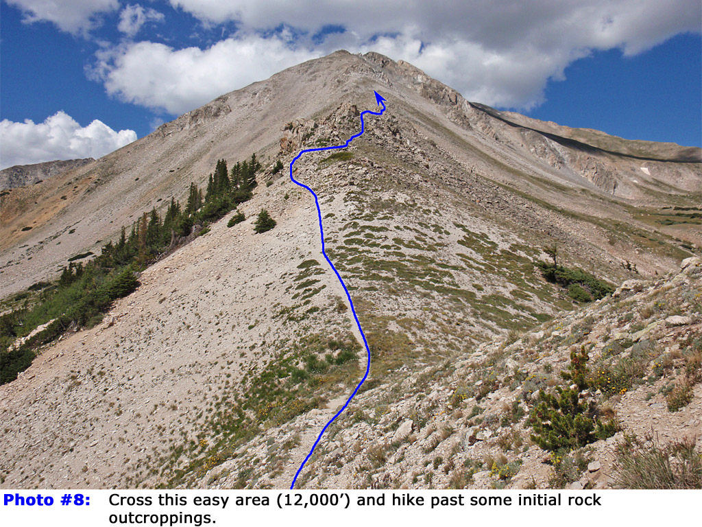
7) to reach the a 12,000-foot low point -
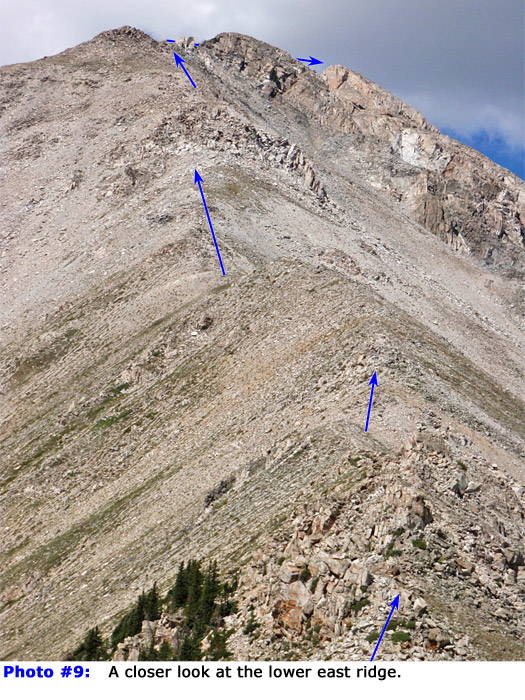
8.
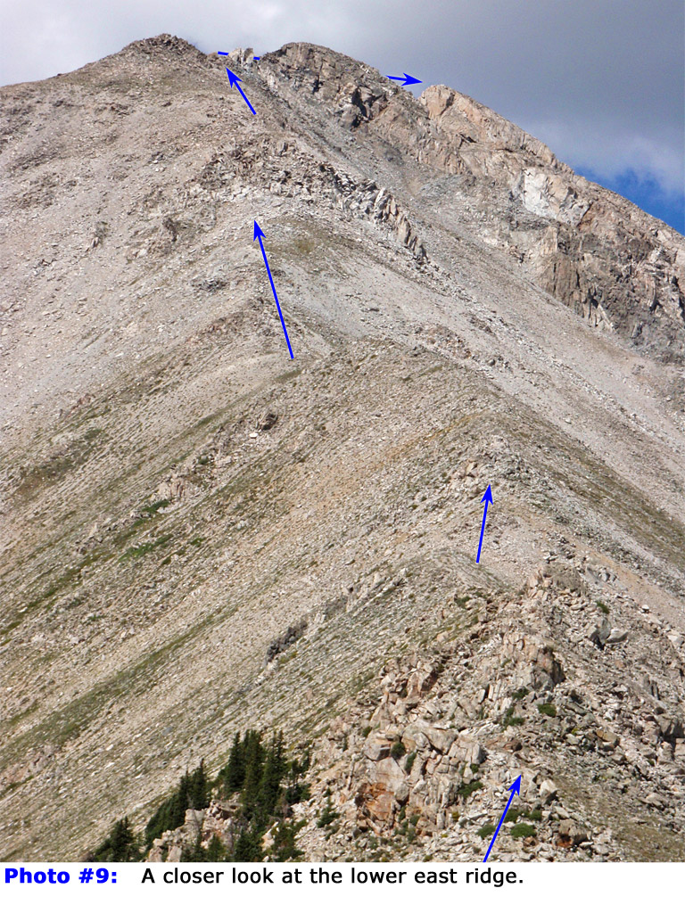
9 is a closer look at the east ridge from this area. Continue around a few ridge bumps (seen in the lower half of
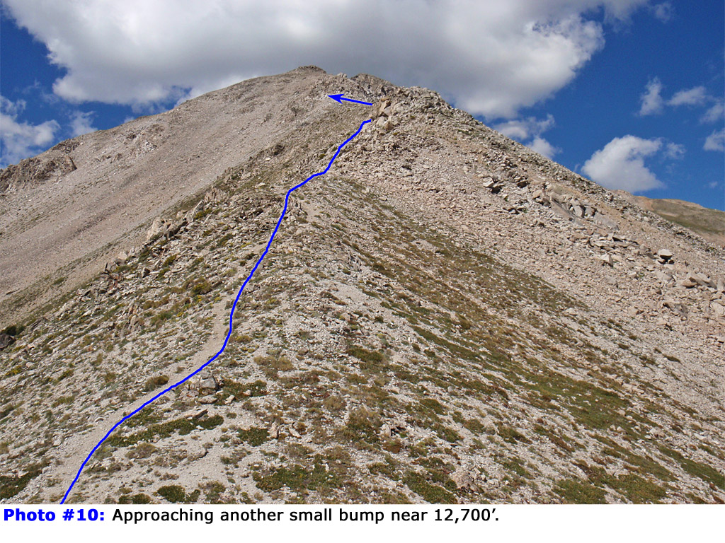
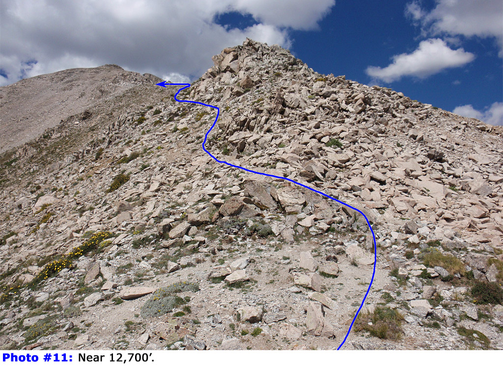
9) to reach steeper terrain near 12,600' -
10 and
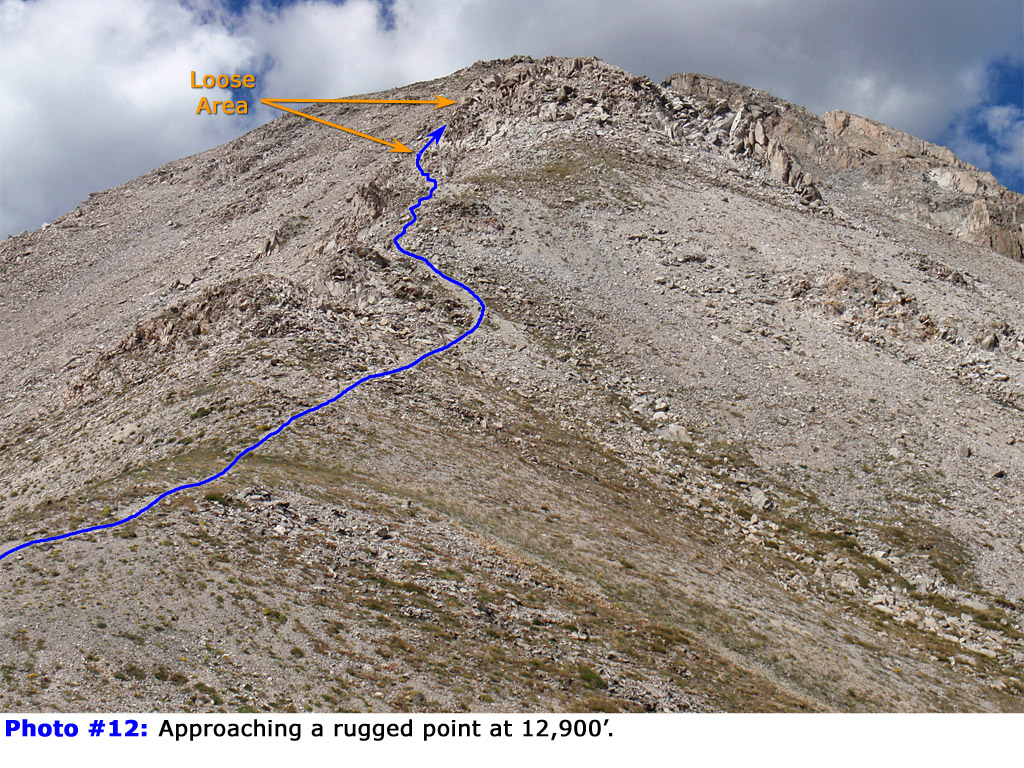
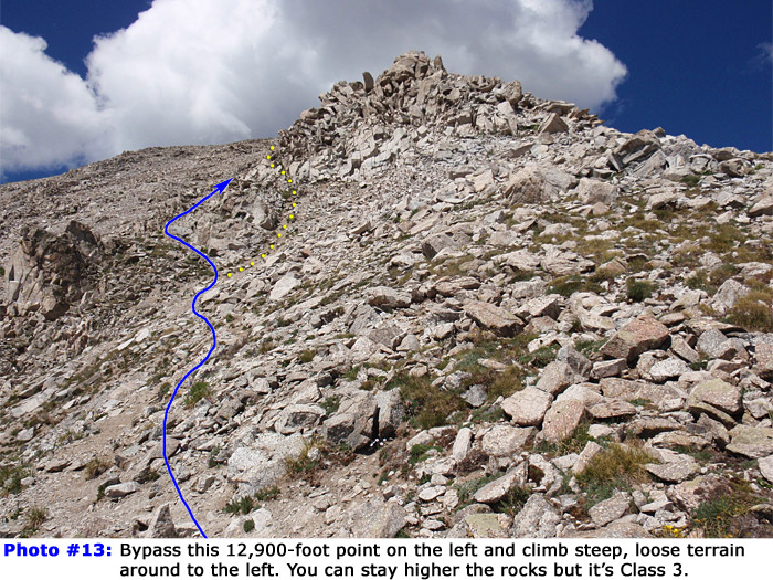
11. Near 12,800', the ridge steepens and you'll reach a rugged, 12,900-foot point that holds some of the loosest terrain on this route -
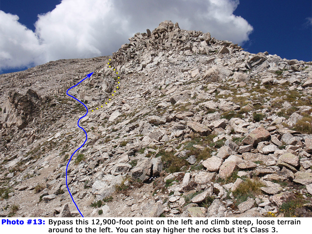
12. Hike to the left side (
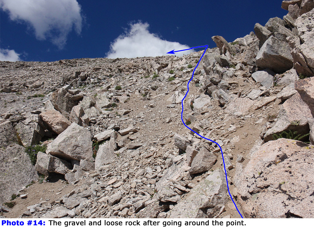
13) of the point and carefully ascend loose rock and dirt (
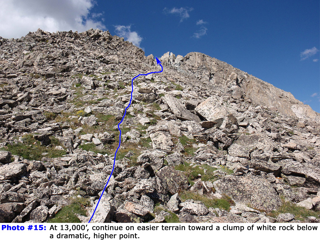
14) to regain the ridge crest. Continue on easier terrain (
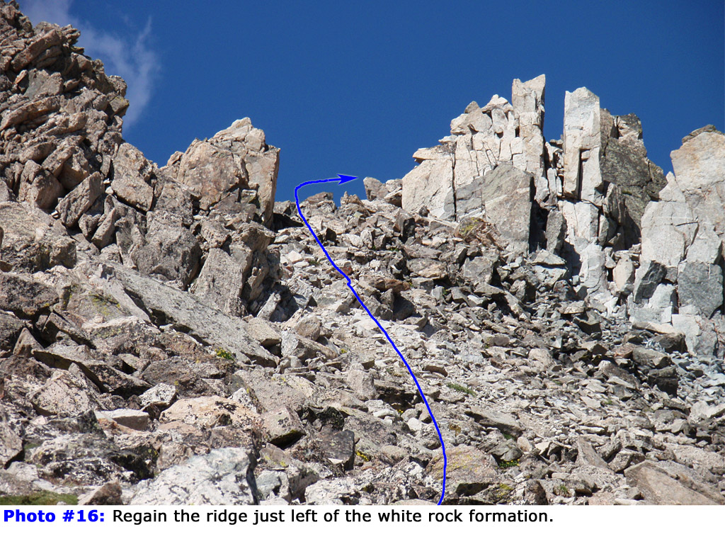
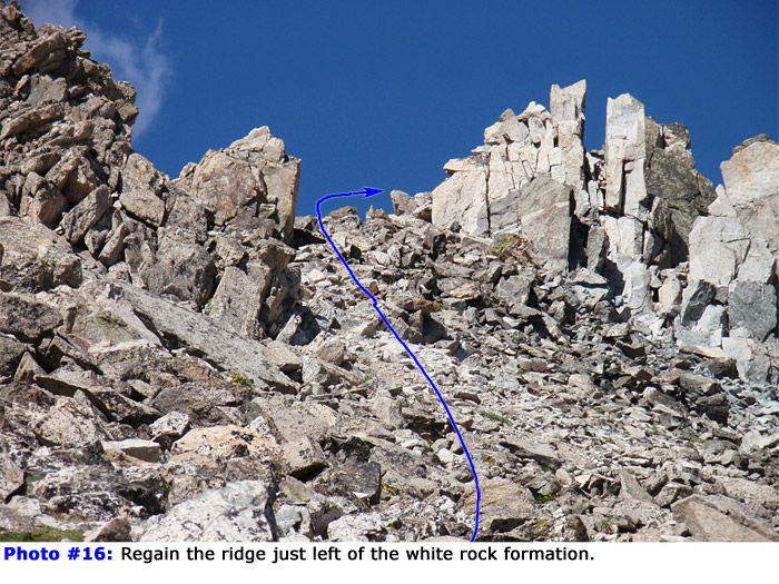
15) to reach a clump of white rock, just left of a some rugged, higher points -
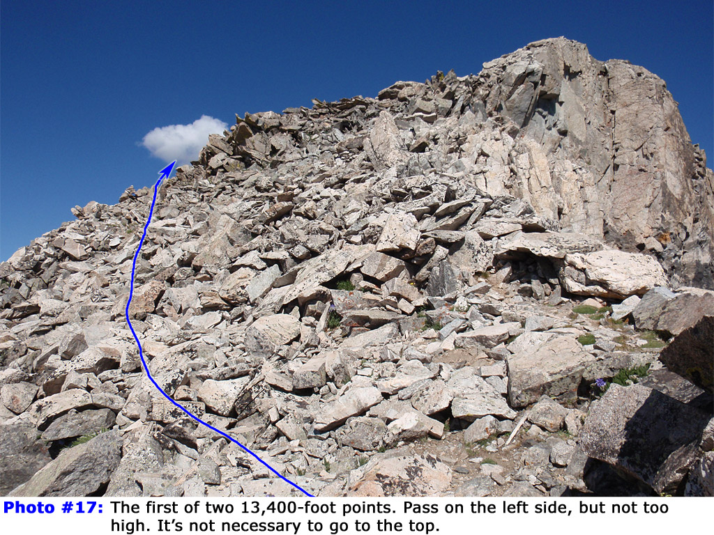
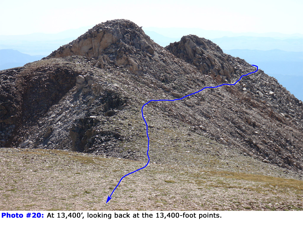
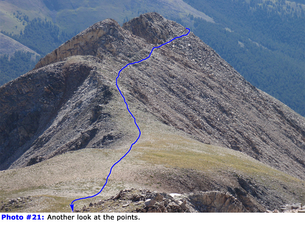
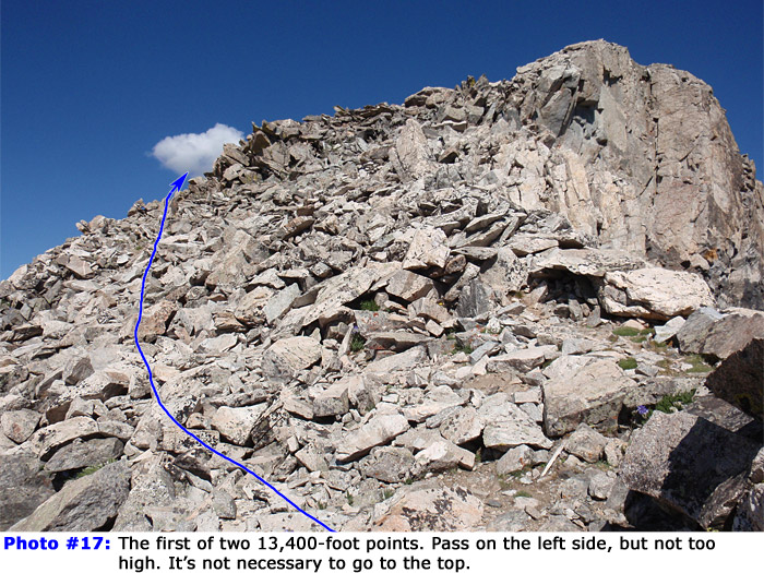
16. After crossing to the south side of the ridge, continue along the left side of the first of a two 13,400-foot-plus points -
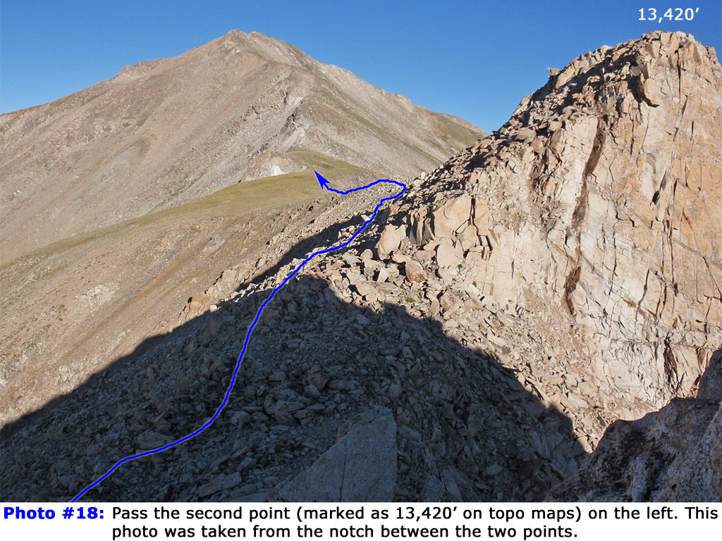
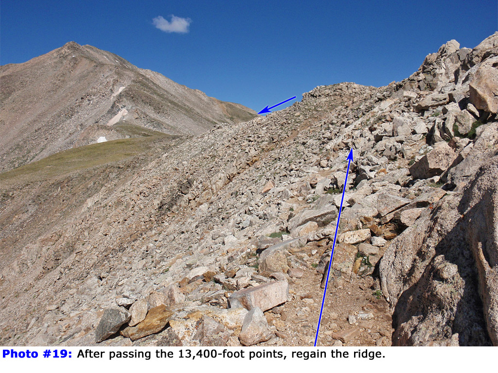
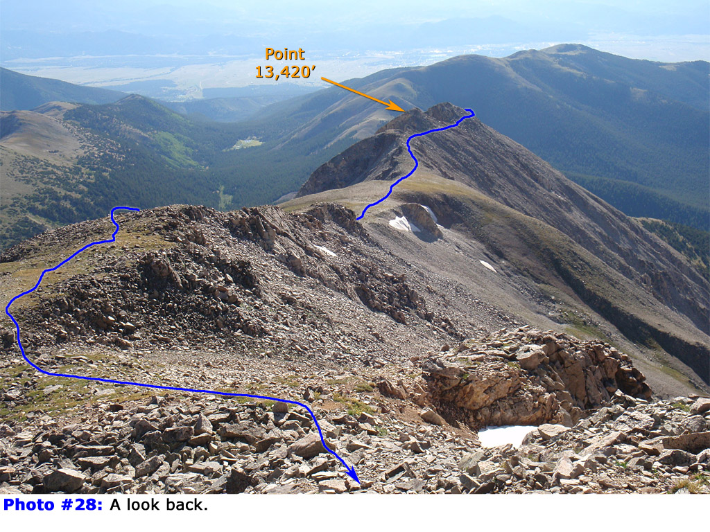
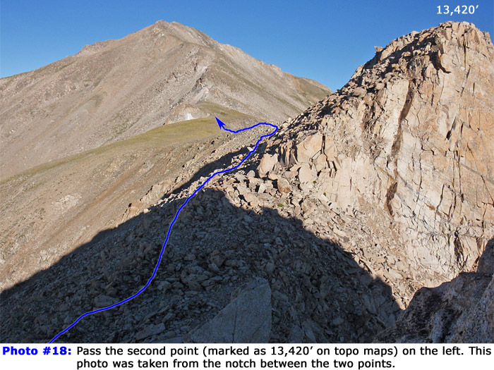
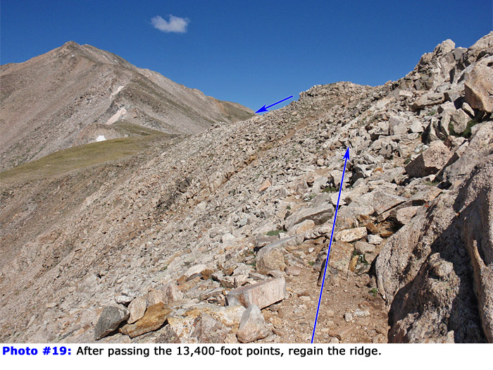
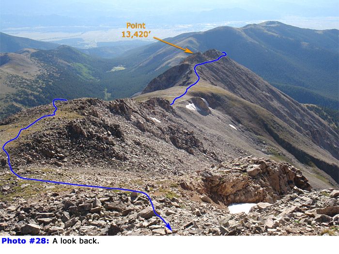
17. You don't have to climb to the top of either point. Once you're past the first point, pass below the taller, 13,420-foot one (
18) and regain the ridge crest -
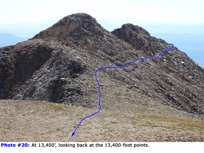
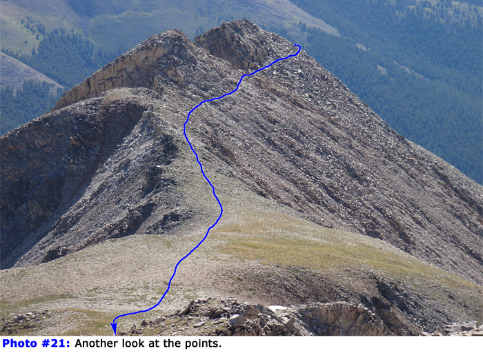
19. Taken from higher on the route,
20 and
21 look back at this rugged area.
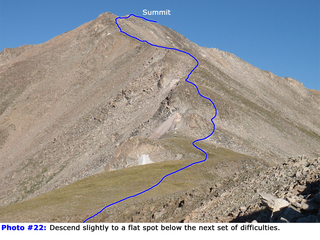
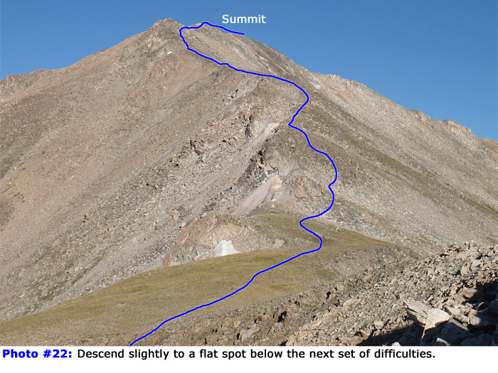
Descend slightly to reach a flat spot (approx. 13,350') below the next set of difficulties -
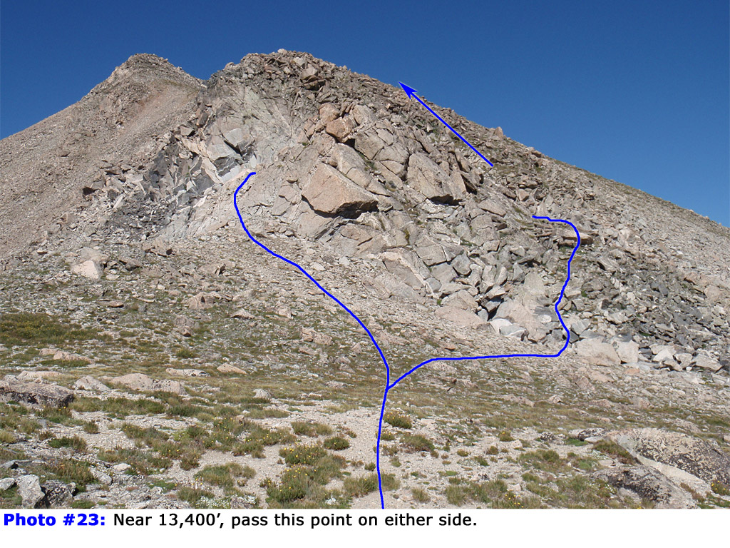
22. Cross the gentle terrain to reach 13,400' and more rock outcroppings -
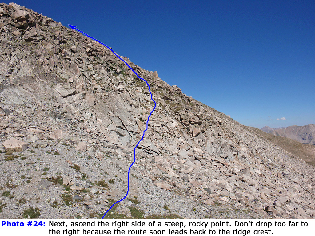
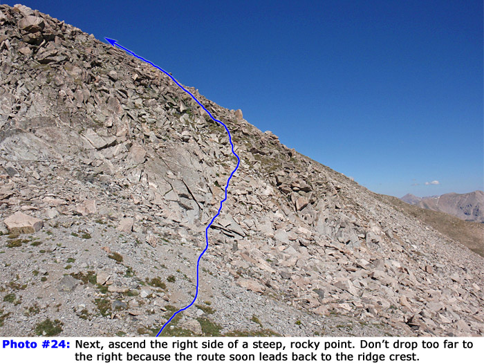
23. Pass the initial point on either side and then ascend a steep, longer section -
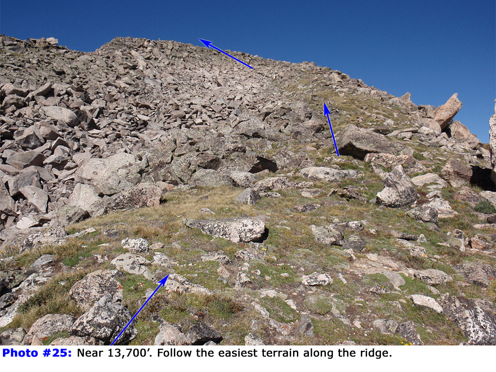
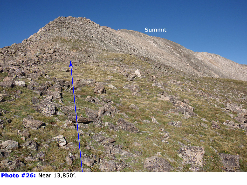
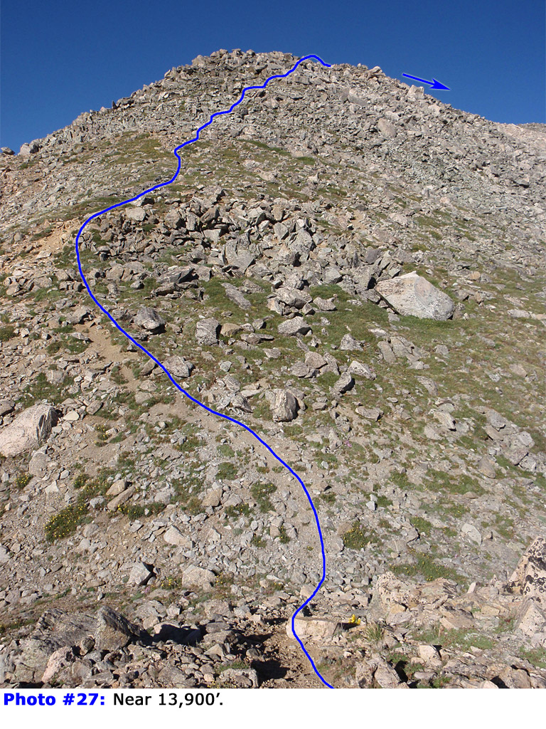
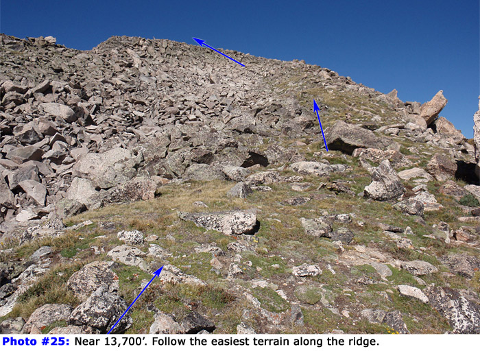
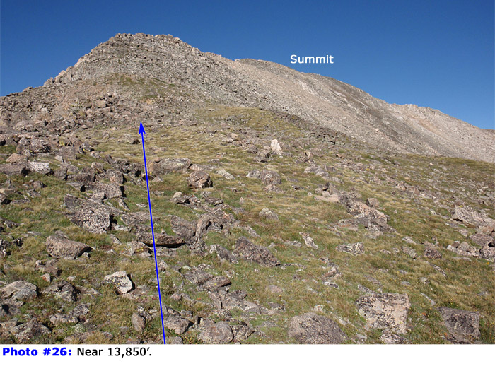
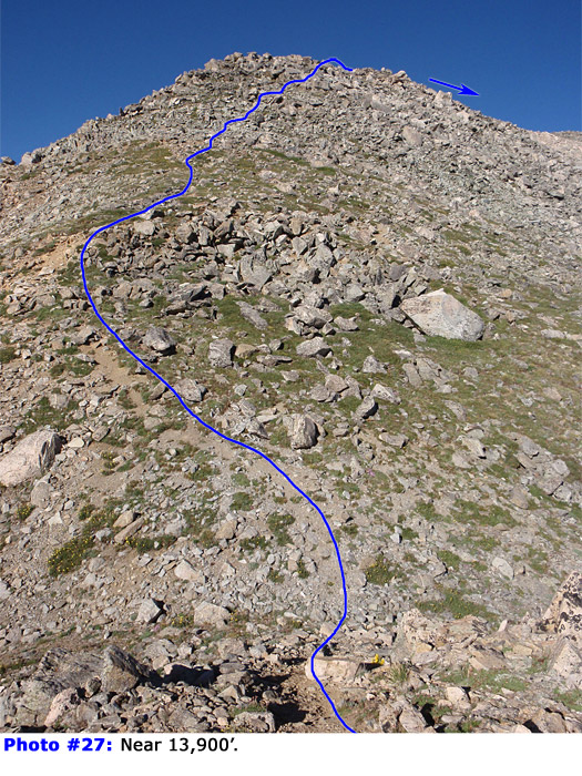
24. Near 13,700', follow the easiest terrain along the ridge to reach 13,900' -
25,
26,
27 and
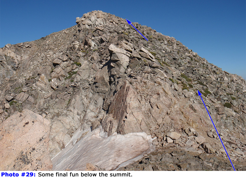
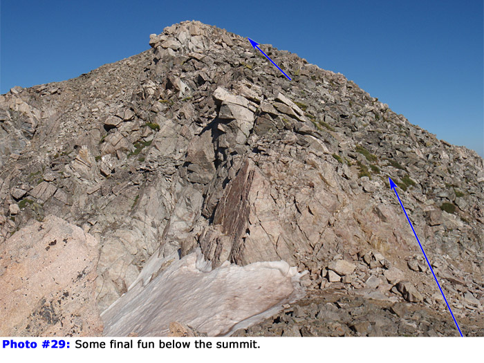
28. Climb a few more short, rocky pitches (
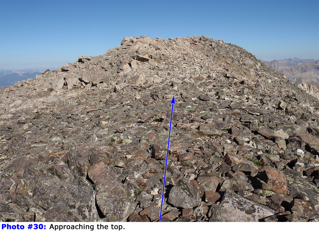
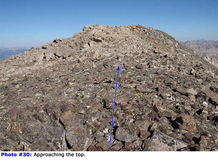
29) and the summit comes into view -
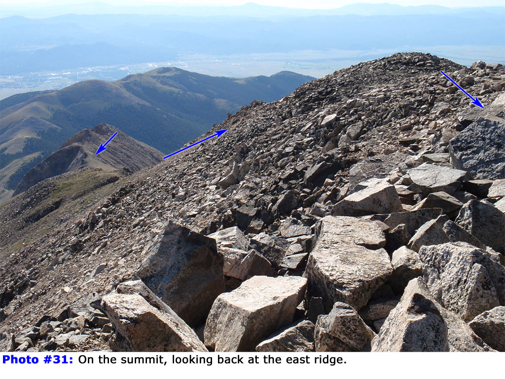
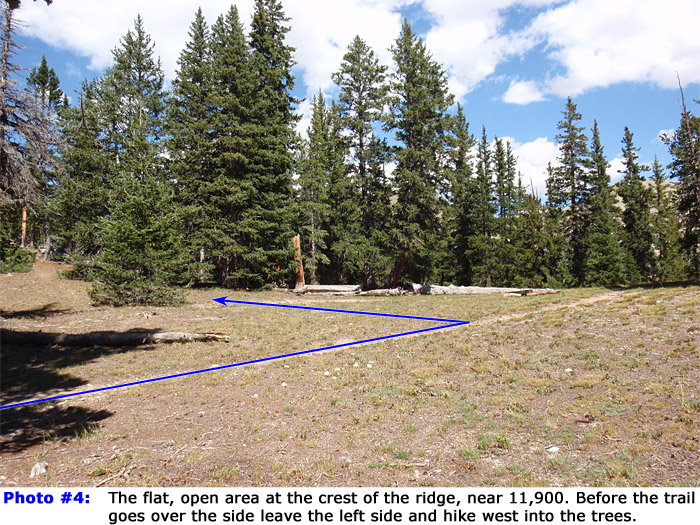
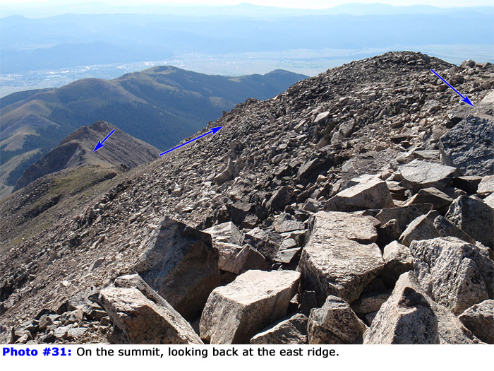
30. Walk over to the top -
31 and
32.




 GPX Track File