La Plata Peak - 14,344 Feet

"La Plata" is Spanish for "The Silver" because of the many silver deposits in the area and nearby ghost towns were prominent mining towns back in the early 1900s. If you drive Colorado 82 over Independence Pass, between Leadville and Aspen, stop at the pass and look south to see La Plata Peak. It's an incredible view of a rugged Colorado 14er.

To climb La Plata Peak, the trailhead is just off the side of the paved Colorado 82 highway. But this easy access doesn't mean La Plata gives up it's summit easily. At 9.25 miles round-trip, the standard, Northwest Ridge route is relatively short, except that in the 4.5+ mile climb to the summit, you need to gain 4,500 feet of elevation.
  360° Panorama from the summit of La Plata Peak.
360 Pano

On La Plata's northwest ridge.
pic1
La Plata from 13er Bull Hill.
pic2
La Plata Peak seen from the northwest.
pic3
On La Plata's NW Ridge, looking toward the summit.
pic4
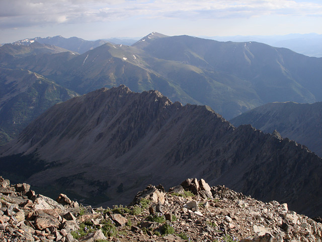
Taken during a hike on La Plata Peak.
pic5 pic6 pic7 pic8 pic9 pic10 pic11 pic12 pic13
La Plata seen from Independence Pass (Colorado 82).
pic14
Taken during a hike on La Plata.
pic15 pic16 pic17 pic18 pic19 pic20 pic21 pic22 pic23 pic24 pic25 pic26 pic27
La Plata Peak seen from Mt. Massive.
pic28 pic29
La Plata Peak seen from Huron Peak.
pic30 pic31
La Plata Peak seen from Mt. Sherman (with a high zoom).
pic32
Taken during a hike on La Plata.
pic33 pic34 pic35 pic36 pic37 pic38 pic39 pic40 pic41 pic42 pic43 pic44

More Photos 


This map can only be accessed by registered 14ers.com users. If you don't have an account, you can register in the forum.

Log In_


© 2023 14ers.com®, 14ers Inc.