
Log In 
Elevation 14,154' (LiDAR)
Prev Elevation 14,148'
CO 14er Rank 28 of 53
Range Mosquito
Forest Pike
Counties Park, Lake
Towns Fairplay, Alma, Leadville
Mt. Democrat

Photos

360 Pano
360° Summit Pano
pic1
pic2
pic3
pic4 pic5 pic6 pic7 pic8
pic9
pic10
pic11
pic12 pic13 pic14 pic15 pic16 pic17 pic18 pic19 pic20 pic21 pic22 pic23 pic24

Climbing Routes

route
Combo: Decalibron Standard Route
Difficulty: Class 2
Total Elevation Gain: 3,500'
Round-trip Distance: 7.5 mi
Exposure: Moderate
Rockfall Potential: Moderate
Route-Finding: Low
Commitment: Moderate
route
Mt. Democrat - East Slope Standard Route
Difficulty: Class 2
Total Elevation Gain: 2,150'
Round-trip Distance: 4 mi
Exposure: Moderate
Rockfall Potential: Moderate
Route-Finding: Low
Commitment: Low
route
Mt. Lincoln - West Ridge Standard Route
Difficulty: Class 2
Total Elevation Gain: 2,600'
Round-trip Distance: 6 mi
Exposure: Moderate
Rockfall Potential: Moderate
Route-Finding: Low
Commitment: Low
route
Mt. Bross - West Slopes Standard Route
Difficulty: Class 2
Total Elevation Gain: 2,250'
Round-trip Distance: 3.25 mi
Exposure: Moderate
Rockfall Potential: Moderate
Route-Finding: Low
Commitment: Low
route
Mt. Cameron - West Ridge Standard Route
Difficulty: Class 2
Total Elevation Gain: 2,250'
Round-trip Distance: 4.75 mi
Exposure: Moderate
Rockfall Potential: Moderate
Route-Finding: Low
Commitment: Low
route
Mt. Lincoln - East Slopes
Difficulty: Class 2
Total Elevation Gain: 2,650'
Round-trip Distance: 6.5 mi
Exposure: Low
Rockfall Potential: Moderate
Route-Finding: Low
Commitment: Low
route
Mt. Lincoln - Lincoln Amphitheater
Difficulty: Class 2
Total Elevation Gain: 3,400'
Round-trip Distance: 4.75 mi
Exposure: Moderate
Rockfall Potential: Considerable
Route-Finding: Moderate
Commitment: Moderate
route
Mt. Bross - East Slopes
Difficulty: Class 1
Total Elevation Gain: 2,900'
Round-trip Distance: 9 mi
Exposure: Low
Rockfall Potential: Low
Route-Finding: Low
Commitment: Low
route  _
Mt. Bross - S Gully
Difficulty: Class 2  Easy Snow
Total Elevation Gain: 3,250'
Round-trip Distance: 9.5 mi
Exposure: Moderate
Rockfall Potential: Moderate
Route-Finding: Moderate
Commitment: Moderate
route  _
Mt. Bross - Dolly Varden Gully
Difficulty: Class 2  Easy Snow
Total Elevation Gain: 2,900'
Round-trip Distance: 4 mi
Exposure: Low
Rockfall Potential: Moderate
Route-Finding: Moderate
Commitment: Moderate
route  _
Mt. Democrat - South Slope
Difficulty: Difficult Class 2  Moderate Snow
Total Elevation Gain: 2,150'
Round-trip Distance: 2.5 mi
Exposure: Considerable
Rockfall Potential: Moderate
Route-Finding: Considerable
Commitment: Moderate

Map

Human Verification Required

Trip Reports

  8 Recent Reports Peaks Climbed Added
  Decalibron - Labor Day Weekend Google Map Included GPX file available for download
By: knova
Added: 9/7/2026
Mt. Lincoln
Mt. Democrat
Mt. Bross
Mt. Cameron
9/6/2026 9/7/2026 1  4
  Decalibron Loop Google Map Included GPX file available for download
By: cosmit
Added: 9/3/2026
Mt. Democrat
Mt. Cameron
Mt. Lincoln
Mt. Bross
9/2/2026 9/3/2026 3  7
  DeCaLiBron Amateur
By: eldimond
Added: 8/28/2026
Mt. Lincoln
Mt. Bross
Mt. Democrat
8/24/2026 8/28/2026 4  4
  Kona The Mountain Dog
By: sfreytag
Added: 1/8/2026
Grays Peak
Torreys Peak
Kelso Mountain
Wildhorse Peak
Missouri Mountain
Uncompahgre Peak
Redcloud Peak
Mt. of the Holy Cross
Mt. Princeton
Mt. Columbia
Mt. Oxford
Mt. Massive
Mt. Cameron
Mt. Democrat
Mt. Yale
6/29/2019 1/8/2026 26  31
  Tenmile-Mosquito Traverse FKT Google Map Included GPX file available for download
By: SpeedWalker
Added: 9/27/2025
Peak 8
Peak 10
Pacific Peak
Fletcher Mountain
Clinton Peak
Mt. Democrat
Mt. Tweto
Mt. Evans
Mt. Sherman
Horseshoe Mountain
9/20/2025 9/27/2025 11  10
  Buckskin to Democrats Southeast ridge Google Map Included GPX file available for download
By: CaptainSuburbia
Added: 9/11/2025
Mt. Democrat
Mt. Lincoln
Mt. Cameron
Mt. Bross
Mt. Buckskin
9/1/2025 9/11/2025 8  49
  Return for the Kite Lake 14ers
By: overthe59hill
Added: 7/25/2025
Mt. Bross
Mt. Lincoln
Mt. Cameron
Mt. Democrat
7/24/2025 7/25/2025 3  19
  DeCaLiBron in July
By: skippyville
Added: 7/8/2025
Mt. Lincoln
Mt. Democrat
Mt. Cameron
Mt. Bross
7/7/2025 7/8/2025 8  11
View All 351 Trip Reports

Frequently Asked Questions about Mt. Democrat

What is the standard hiking route up Mount Democrat?

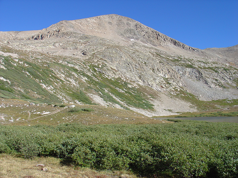
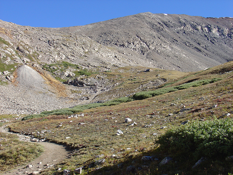
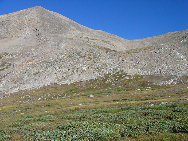
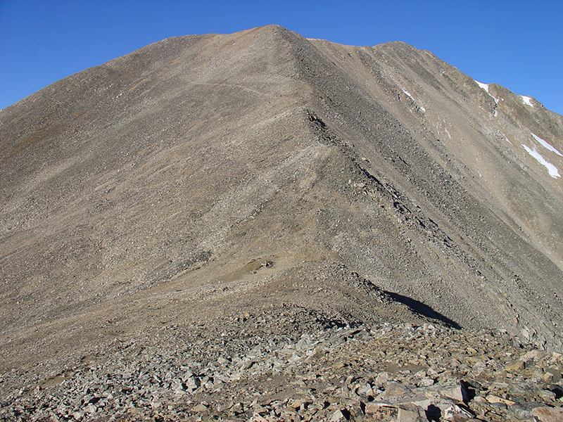
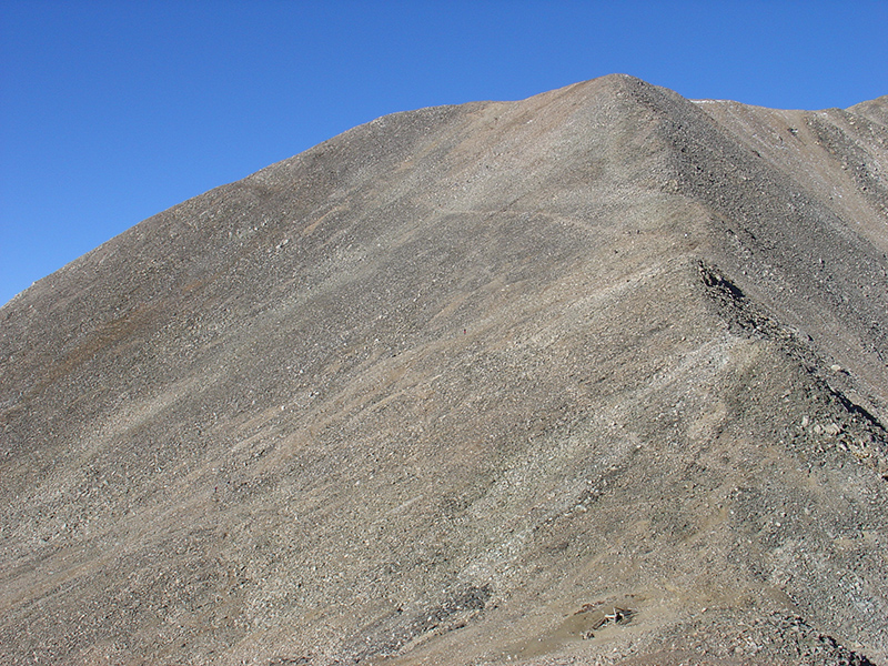
The standard approach is the Mount Democrat - East Slope route, which begins at the Kite Lake Trailhead. Hikers ascend a well-defined trail northwest up the basin to a high saddle between Democrat and Mount Cameron. From this saddle, you turn left and follow the steep, rocky ridge switchbacks over a false summit to reach the true summit. This out-and-back route spans 4 miles round-trip with 2,150 feet of elevation gain and is rated as Class 2. And when you return to the saddle with Mount Cameron, you can decide if you want to continue on combination "loop" route to get more 14ers on your hike.

How long does it take to hike all four 14ers in the Lincoln group?

If you choose to complete the entire four-peak DeCaLiBron Loop (Democrat, Cameron, Lincoln, and Bross), the route spans roughly 7.5 miles and gains 3,500 feet of total elevation. The average hiker takes between 4 and 6 hours to complete it. Because the entirety of the loop after the initial climb stays above 13,000 feet, you are heavily exposed to weather. To safely avoid sudden and violent afternoon alpine thunderstorms, you should plan to leave the trailhead very early, usually at or before daybreak.

Do I need technical mountaineering boots for Democrat or the loop route?

No, a standard pair of high-traction hiking boots or sturdy trail runners will work perfectly for a mid-summer attempt. Because the upper third of the mountain transitions entirely into a chaotic field of sharp granite boulders and shifting scree, heavy ankle support and a rigid sole will significantly reduce your physical fatigue.

Why are there access related issues on Democrat, Lincoln, and Bross?

These peaks were the absolute epicenter of Colorado's late-1800s silver rush, hosting legendary operations like the Moose Mine and the Russia Mine. Because miners found rich silver deposits right in the horizontal limestone layers rather than vertical granite veins, the interior of these mountains was hollowed out like Swiss cheese. The peaks are pockmarked with partially collapsing underground tunnels and open vertical shafts that sit just inches beneath the surface, which is exactly why the land remains private property and hikers must stay strictly on the established trail to avoid hazards.

Additional Mt. Democrat History

Name History 1
Climbing History 0
Mining 0
Geology 0
More Information 0
  View All
