
| Report Type | Full |
| Peak(s) |
Peak 8 - 13,005 feet Peak 10 - 13,641 feet Pacific Peak - 13,965 feet Fletcher Mountain - 13,943 feet Clinton Peak - 13,866 feet Mt. Democrat - 14,154 feet Mt. Tweto - 13,683 feet Mt. Evans - 13,591 feet Mt. Sherman - 14,043 feet Horseshoe Mountain - 13,918 feet |
| Date Posted | 09/27/2025 |
| Date Climbed | 09/20/2025 |
| Author | SpeedWalker |
| Tenmile-Mosquito Traverse FKT |
|---|
|
Tenmile-Mosquito Traverse FKT Alex "SpeedWalker" Walker Background Traversing the Tenmile and Mosquito ranges first came on my radar after finishing the 14ers in 2020. I completed the classic Tenmile Traverse in 2021 as a 28-mile loop, which felt like a monumental effort at the time. However, the high point of this traverse is really only the starting line for one of the longest and highest ridgelines in North America, never dropping below 13,000ft for nearly 30 miles from Peak 10 to Weston Peak. I always knew in the back of my head that I wanted to complete the whole thing in one push someday. After years of getting more experienced and efficient on rough terrain, I knew I wanted to make an attempt in 2025. I toyed around with the idea of going for the Fastest Known Time, but seeing Chris Fisher's name at the top of the leaderboard made me hesitant. I also wanted to go in the (slower) southbound direction from Frisco to Weston Pass, which gets all of the difficult scrambling out of the way earlier, at the cost of 3,000ft of additional gain. This pretty much sealed my decision to turn it into a "casual" 2-day trip, with a friend meeting me halfway to camp on the ridgeline. With a nice-looking weekend forecast finally in sight (ha), I packed my gear and made the final preparations. The day before, I figured I should throw together a pace chart to at least have some idea of how fast I would be. I took all the mile times from around a dozen of my previous hikes along this ridge, and compared them against the FKT splits. To my surprise, my times were consistently around 10% faster! At this point, my competitive nature made it impossible not to at least give it a shot, so I told myself I would just start out fast and then make a call whether to continue to chase the FKT. Part 1: Frisco to Peak 10 I usually get decent sleep while in the mountains, but I slept terrible the night before. Maybe it was nervousness for the day ahead, maybe my altitude acclimatization was fading, or maybe it was just the stupid rest stop streetlight shining through my window all night. I was planning for a 4:00 AM start, but at 2:30 AM I knew couldn't fall back asleep and headed over to the trailhead. After jogging along the bike path to the start of the trail, I took a picture and set off at 3:15 AM. 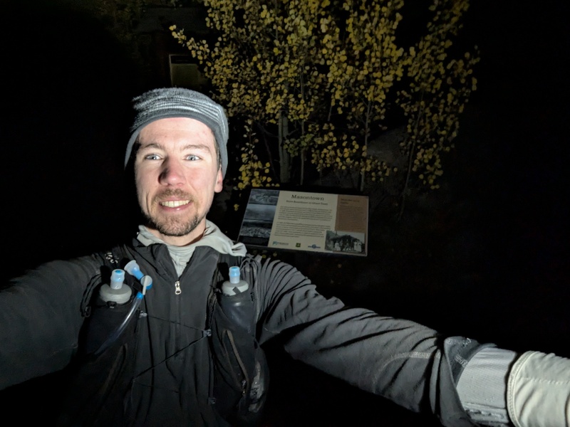
The first few miles of this route are a brutally steep trail averaging over 1,000ft per mile. I was feeling great and making good time, reaching the top of Peak 1 in 96 minutes. It was here when the brutally cold wind hit for the first time, forcing me to put on a windbreaker that would not come off anytime soon. Luckily the rock was at least completely dry, despite patches of lingering snow, alleviating my biggest worry about conditions on the route. The next few peaks are the crux of the Tenmile Traverse, with steep rocky ridges and occasional solid, well-traveled class 3 scrambling. I threw on my helmet here and left it on for most of the day. Route-finding this section in the dark was a slight challenge, but familiarity from my first time on this terrain was very helpful. 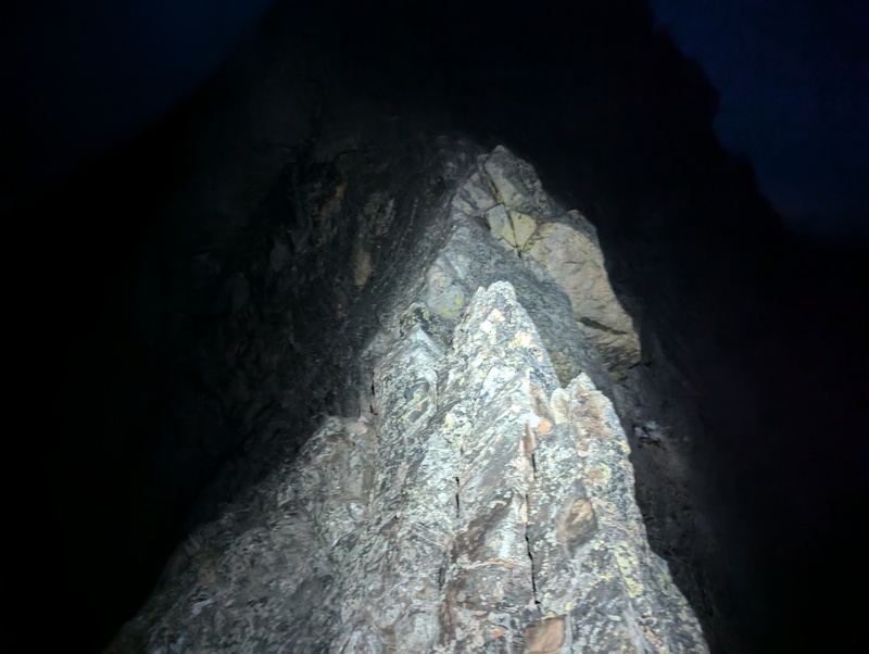
Past Peak 4, the difficulty eases considerably as you enter the nice tundra slopes above Breckenridge. Of course, as soon as I let my guard down, a sharp rock stabbed me right under my ankle, hitting a nerve and creating the craziest burning sensation all the way down my foot. Luckily it went back to normal within a couple minutes, but it was a good early reminder that even the "easy" terrain on this route is prime ankle-breaking rock territory. Soon I saw the sun rise over town, and cruised past the top of my first few 13ers. When I reached Peak 10, I checked my pace chart for the first time: even heading in the slower direction, I was ahead of schedule, and 2 full hours ahead of the FKT 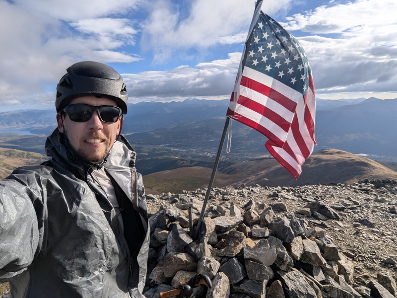
Part 2: Peak 10 to Mount Tweto My enthusiasm was soon dampened by the incoming weather. The perfect forecast from a few days ago had deteriorated into showing partly cloudy skies with a 20% chance of precipitation all day. I'd seen far worse forecasts make for beautiful full-day hikes, so I decided to just hike through whatever may come and bail off the ridge if I ever heard thunder nearby. As I passed over Crystal Peak, I entered a low cloud layer which soon starting dropping light snow. This quickly dashed my hopes of dry conditions, although (for now) the worst of it was just a slick rock catching you off guard every once in a while. 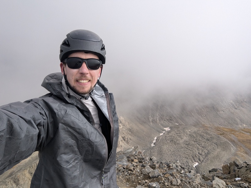
Beyond the top of Pacific Peak, I planned to drop down to Pacific Tarn for water, which was conveniently halfway to my prearranged support location. I probably could've avoided this by melting fresh patches of snow, but collecting a full 2 liters that way sounded like more trouble that it was worth when you're literally walking right past the highest lake in North America. I filled up my water bladder, adding a chlorine tablet and my homemade Tailwind substitute. So far I was happy with being able to consume lots of calories, both liquid and solid, but I knew this would become a struggle once night hit. 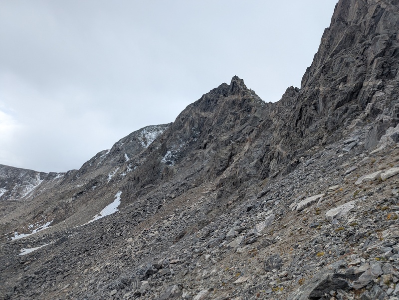
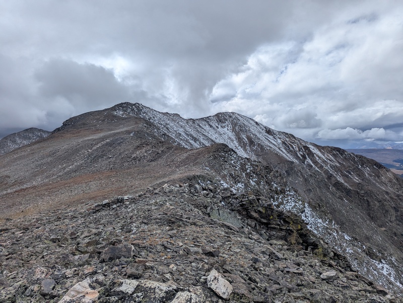
The only difficult scrambling section I had never done before was the ridge from Atlantic to Fletcher to Drift to Wheeler. Atlantic to Fletcher in particular contains class 5 cliffs so jagged that most previous finishers just drop off the ridge partway and skirt around them. This was what I did too, and it was certainly the most unpleasant terrain of the day, with lots of loose, steep side-hilling. As I made it to the top, a new round of low clouds and snow were coming in, making for some of the dreariest conditions of the day. I tried to stick to the ridge crest on the class 4 crux towards Drift, though looking back realized I had taken a much snowier route than required. As an unranked 13er, Drift Peak was my first new peak of the day! 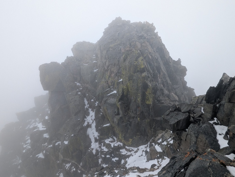
Drift to Wheeler had always occupied my mind as the largest stretch of unknown scrambly ridgeline, and it certainly did not disappoint. Confident in my route-finding abilities, I didn't do much research ahead of time, and for some reason mistakenly thought that it went at class 3. This stretch was a constant game of guessing whether to stick to the ridge or try to sneak around each little highpoint, and then almost always choosing the wrong option. At one point, I was faced with a steep snowy wall with no obvious way around to either side, and just had to climb slippery class 4+ straight up and hope there was a way through. With minimal visibility, I thought I finally had the peak in sight, so I checked my phone and... I wasn't even halfway across. After nearly 2 hours of the most brutally slow and mentally taxing terrain of the route, I finally reached the familiar sights of the top of Wheeler Mountain. 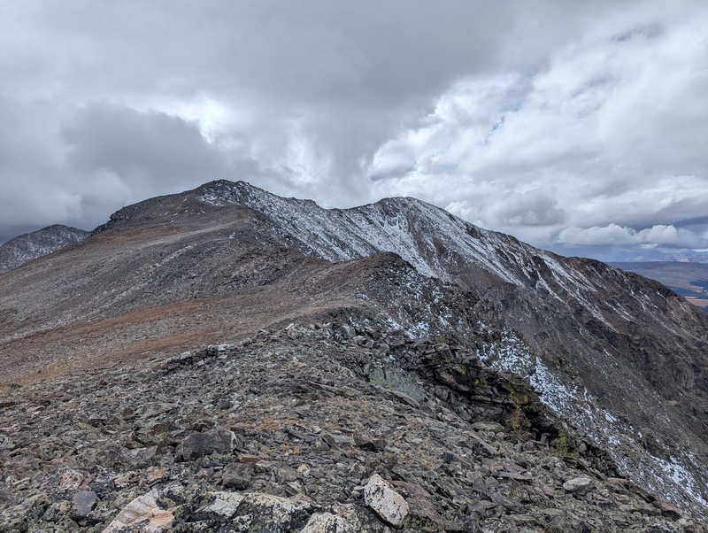
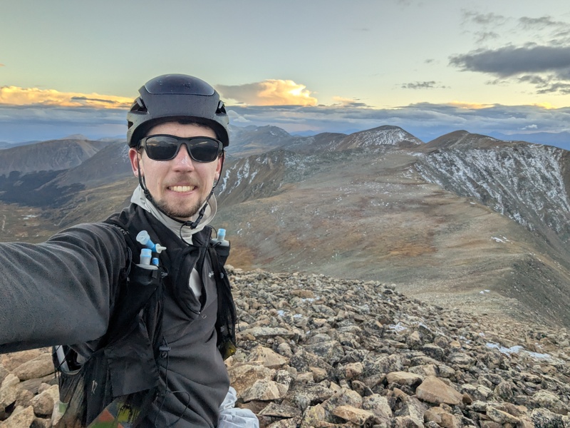
At last on easier terrain on the way up Clinton, I noticed myself starting to slow down for the first time. Miraculously, I was still hours ahead of FKT pace, but I felt like I was starting to have to fight to maintain that lead. It wasn't so much the fatigue in my legs (I still felt great on the downhills), but rather my lungs were just struggling to keep up on the uphill portions. Democrat was an absolute slog to get up, with an intense round of blowing snow and a brief difficult class 3 portion to navigate. It was nice to finally have the high point of the route behind me, and I soon made quick work of the class 3 ridge towards Buckskin. 
At this point, my friend Tim was starting to hike up to our support location, and texted me saying "I hope this weather holds". Of course, cue the massive downpour that forced me to put on an extra jacket and full rain gear for the first time all day. Thankfully, the summit location of Buckskin had been moved due to LiDAR to be right in line with the ridge crest, so I was able to avoid the quick out-and-back to its historical summit. The short ridge onward to Tweto would be the only other difficult section I had never done before. It wouldn't have been so bad if all the slick rock hadn't just gotten drenched, leading to my first few major slips of the day. The sun mercifully came to dry things out for a brief few minutes, before starting to set just as I reached the top of Mount Tweto, the gateway to easier terrain ahead. 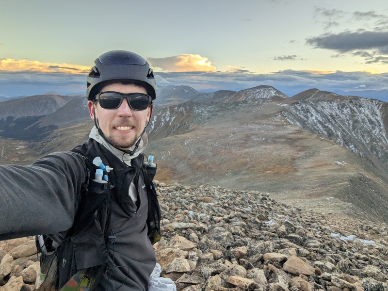
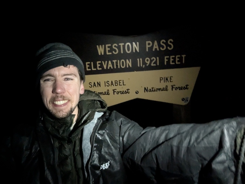
Part 3: Mount Tweto to Weston Pass I rushed down lovely grass slopes to my pre-arranged meeting point with Tim, who had carried not only all the food and water I needed to resupply, but also a full array of winter camping gear in case I decided to fall back on my original 2-day plan. Of course, I was looking to get in and out as fast as possible, so I filled up my water bladder, threw in every piece of food I thought I could stomach, ditched my helmet and sunglasses, and grabbed a portable charger for my phone. Due to an oversight on my part, I didn't get the second headlamp I planned for, so I would have to make do with whatever battery was left in my first one after hours of use that morning. My GPS watch was also about to die, and struggling to get it charging, Tim offered me his own, which I promptly put on my opposite wrist and used for tracking the rest of the route. Unfortunately, it was so cold at this point that my 10,000 mAh portable charger died almost immediately, so I would have to rely on my phone's 30% battery to charge my sole headlamp throughout the night. My phone also decided that this was a great time for a software update (thanks, Google). Technology problems aside, I raced past Treasurevault, Mosquito, and Kuss without issue. Walking in a straight line became surprisingly difficult on a broad ridge covered in clouds in the dark, so luckily I was able to load up a GPX track for a few hours with the sliver of battery left in my other watch. Getting across to Evans felt like it took forever, and then I was caught off guard by how suddenly the ridge transforms from endless grassy tundra to steep, borderline scrambly rocks. This wouldn't have been a problem, except that another round of snow was now coming through, and this time there was zero sun to dry things out. A thin, ludicrously slippery layer of snow started to accumulate everywhere, and I occasionally found myself clambering on my hands and knees to get past what would otherwise be dead simple terrain. After a massive slog to the top of Dyer, I checked my pace chart and was shocked to see that my lead on the FKT was now down to less than an hour. Of course, I was barely conscious and wandering through a slip-and-slide in the dark, while the splits I was racing were set with fresh legs on dry ground. I was legitimately scared of losing the record for the first time, so I picked up the pace as much as I could on the way over Gemini, Sherman, and Sheridan. Headed towards my very last ranked peak, I recalculated how much longer it would take to Weston Pass based on the distance remaining, and was relieved to find that the imprecision of my pace chart meant I actually had more buffer than expected. I barely registered going over the top of Peerless Mountain ("What is a summit register doing there?"), and had one last huge slog to the top of Horseshoe Mountain. Once I was no longer moving uphill, I realized how cold it was. Temperatures were easily in the 20s, the cold wind had never let up, and snow was still falling now and then. I used the old mining shelter near the summit as a windbreak to add my down jacket as an extra layer, which I had picked up at the resupply point but didn't expect to actually need. It didn't help that I hadn't been eating much, as my stomach was now one huge brick, and I was lucky to choke down 50 calories in an hour. As my headlamp dimmed from its dying battery, and my navigational watch was long gone, it became increasingly hard to stay on top of the ridge crest. I did my best by looking at the vague topo map on my other watch, but I still wasted precious minutes zig-zagging across the flat ridge. Needless to say, the last few miles felt like they went on forever. I barely knew Ptarmigan Peak even existed, and only knew I was on top of it because of the little peak symbol on the watch map. I used all of my remaining willpower to march up the out-and-back to barely-unranked Weston Peak, whose summit was covered in some of the slipperiest snow I've experienced. Now completely disoriented (my brain couldn't comprehend doing a 180!), I meandered back down by staring at my watch, staying on my feet at least most of the time. After a thousand final feet of descent and a short stretch of glorious trail, I finally arrived at the Weston Pass sign at 4:07 AM. 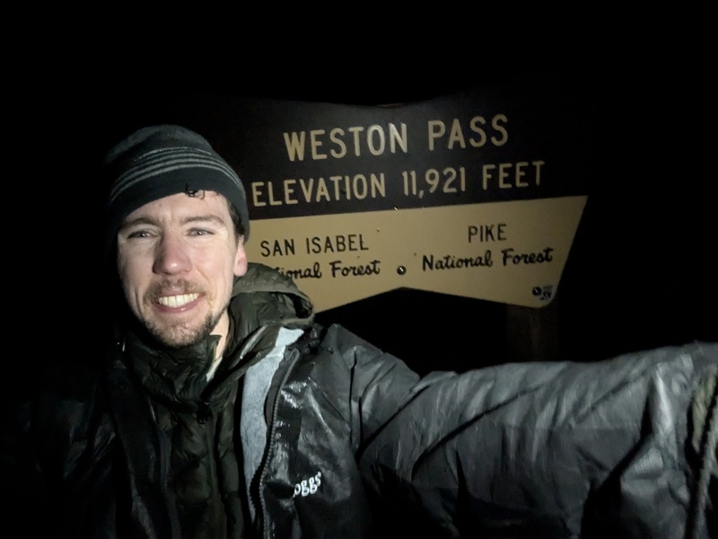
The Aftermath Tim was camped on top of the pass waiting for me, and I alerted him that I wanted to get down to lower elevation immediately. I don't think I was quite reaching the point of HAPE, but after 20 hours breathing hard above 13,000ft, my lungs were feeling worse than ever before. Of course, his car wouldn't start, and his battery pack for jumping it died immediately in the cold. I suffered through a couple hours of attempted sleep, still chilly with all my layers on in addition to 30 and 20 degree sleeping bags. Once the sun came up, I figured out how to shift the car into neutral, and with some occasional pushing, we managed to roll it 5 miles down the road to a campground. Of course, jumping it still didn't work, so we hitched a ride to Frisco to pick up my car and spent the better part of the day installing a new battery in his. After a few nights of good sleep, I'm feeling almost back to normal and ready for some (easier) mountain adventures this weekend. My effort has now been accepted as the overall FKT on the route, although Chris Fisher still holds the unsupported record. I suspect someone will come along in the next few years and blow all of us away by breaking the 24-hour barrier, which feels very achievable headed northbound in good conditions. A very strong, well-prepared athlete could probably approach the 20-hour mark someday. Hopefully I can at least hold onto the southbound record for a while. :) FKT link: https://fastestknowntime.com/fkt/mosquito-tenmile-traverse-co-2025-09-21 Strava link: https://www.strava.com/activities/15894056904 Stats
Splits
Thumbnails for uploaded photos (click to open slideshow): 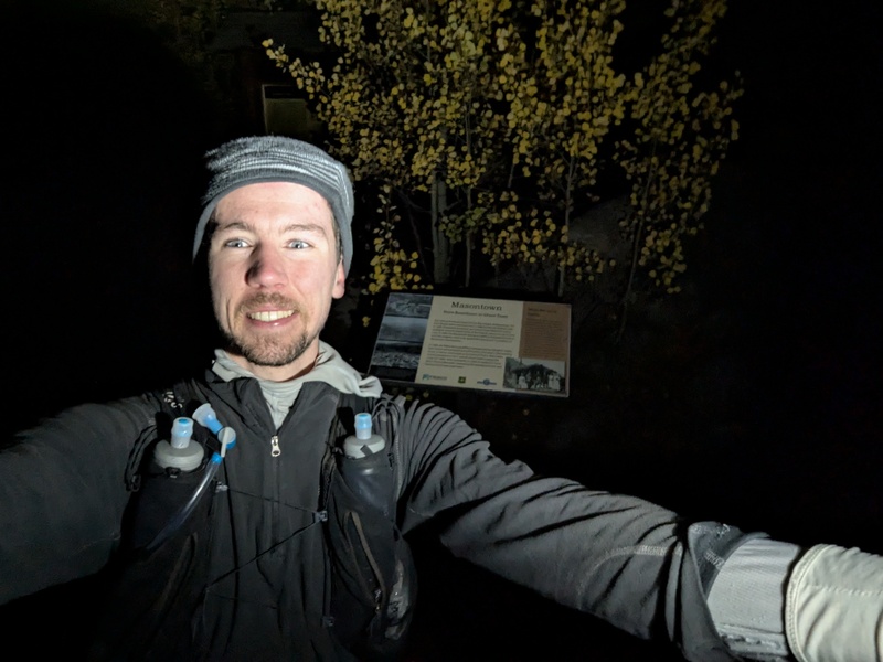
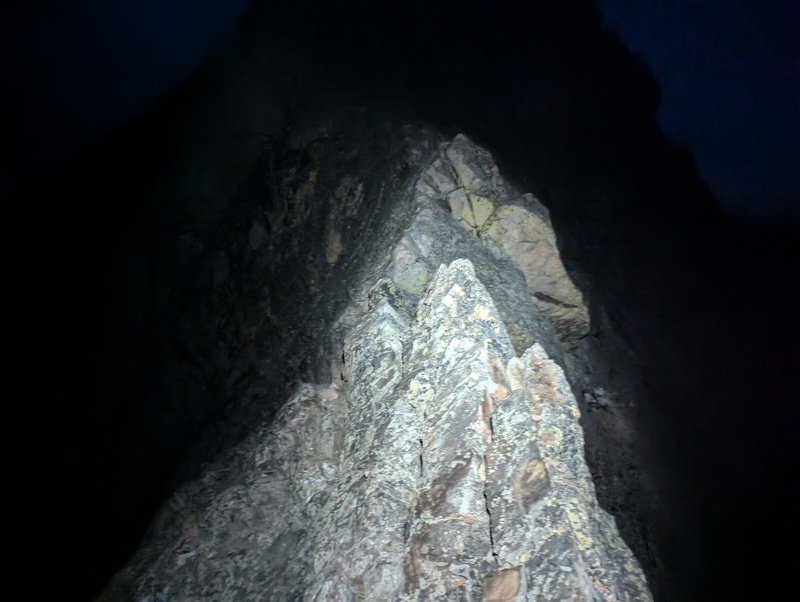
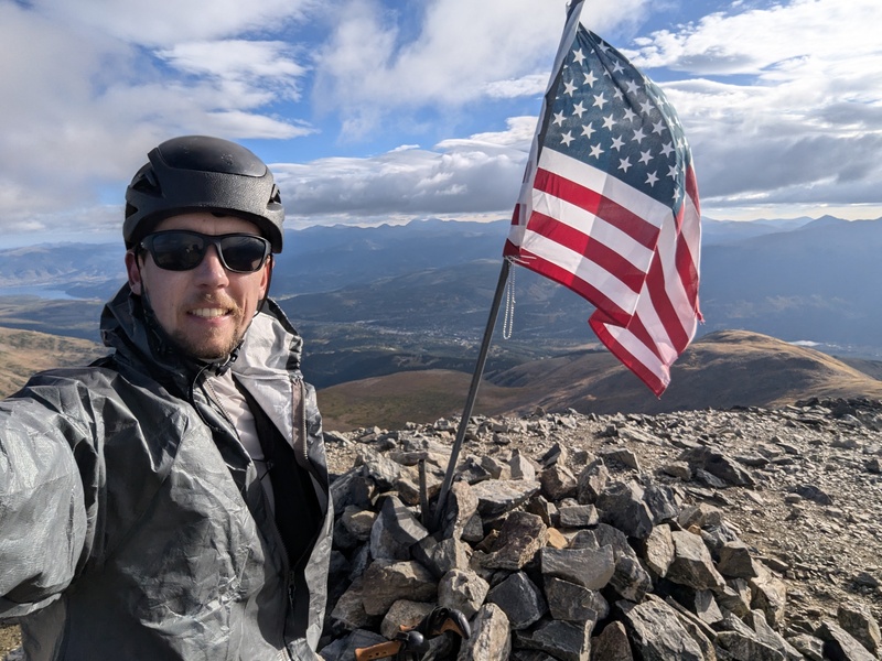
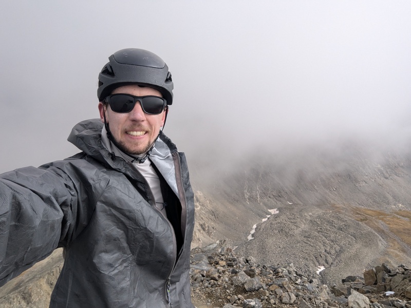
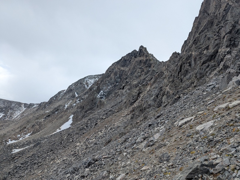
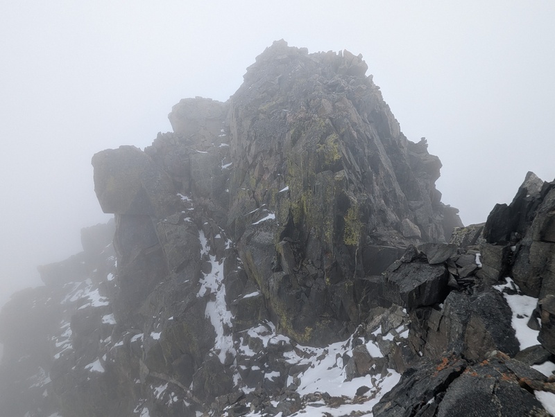
|
| Comments or Questions | |||||||||
|---|---|---|---|---|---|---|---|---|---|
|
Caution: The information contained in this report may not be accurate and should not be the only resource used in preparation for your climb. Failure to have the necessary experience, physical conditioning, supplies or equipment can result in injury or death. 14ers.com and the author(s) of this report provide no warranties, either express or implied, that the information provided is accurate or reliable. By using the information provided, you agree to indemnify and hold harmless 14ers.com and the report author(s) with respect to any claims and demands against them, including any attorney fees and expenses. Please read the 14ers.com Safety and Disclaimer pages for more information.
Please respect private property: 14ers.com supports the rights of private landowners to determine how and by whom their land will be used. In Colorado, it is your responsibility to determine if land is private and to obtain the appropriate permission before entering the property.



