
Log In 
Elevation 13,216' (LiDAR)
Prev Elevation 13,220'
Rank Unranked
Range Gore
"Peak E"

13ers Within 5 Miles

"Peak E" (0.00 mi) "Peak F" (0.35 mi) "Peak D" (0.36 mi) "Peak G" (0.49 mi) "C Prime" (0.80 mi) Black Benchmark (0.80 mi) "Peak C" (0.92 mi) "Peak H" (1.02 mi) Mt. Powell (1.67 mi) "Peak Q" (2.56 mi) "Peak L" (2.60 mi) "Gore Thumb" (2.83 mi) Eagles Nest (2.86 mi) "Peak R" (2.90 mi) Guyselman Mountain (2.92 mi) "West Partner Peak" (2.96 mi) "Peak N" (3.23 mi) "East Partner Peak" (3.79 mi) "Peak X" (4.26 mi) "Peak Z" (4.48 mi)

Photos

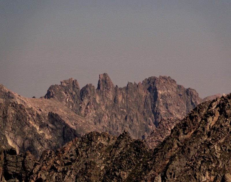
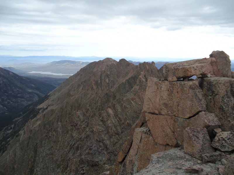
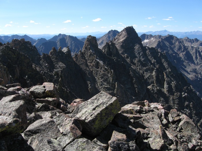
"Peak E" and Nearby 13ers

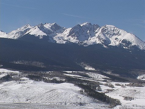
pic1
As seen from the south
2024-08-21
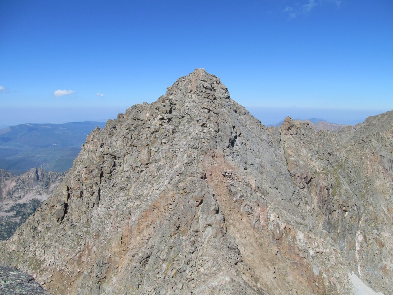
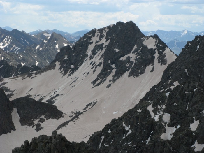
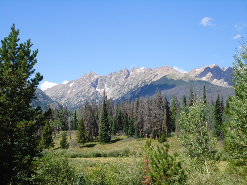
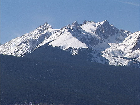
pic2
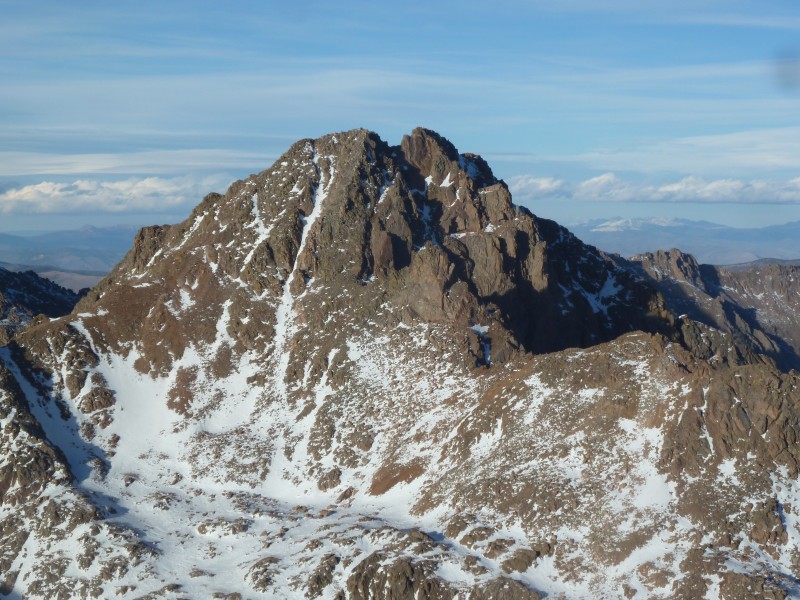
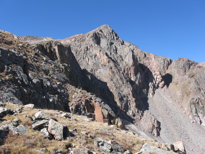
"Peak D" seen from its saddle with "Peak C Prime"
2012-09-19
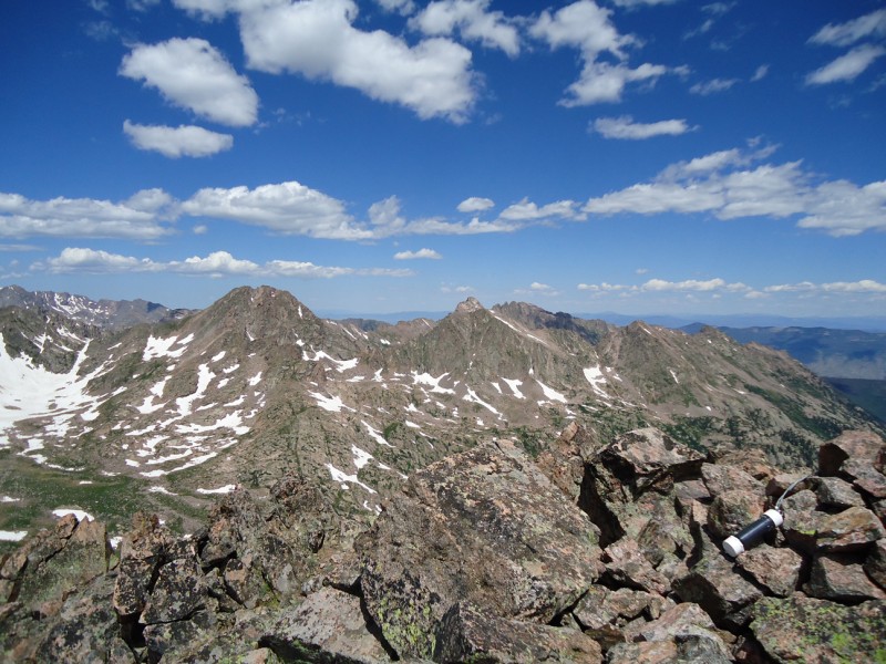
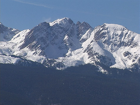
pic3
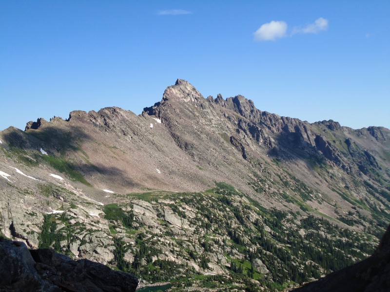
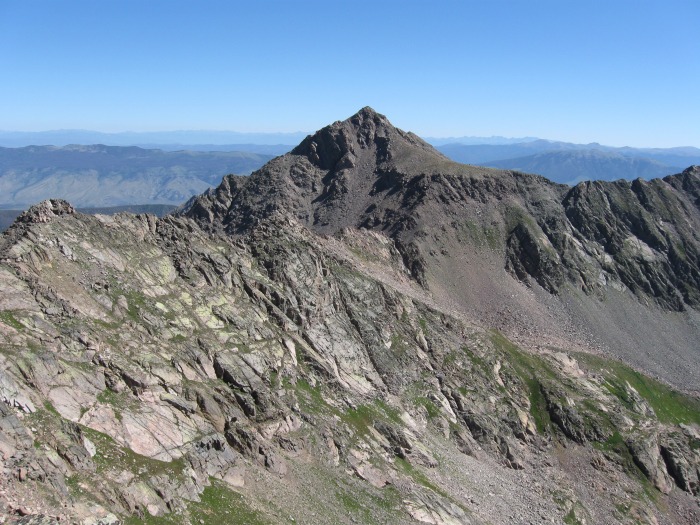
Peak F seen from Peak G
2012-08-29
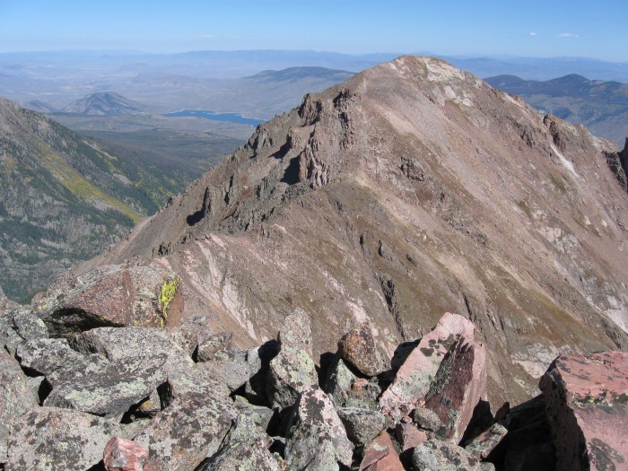
pic4
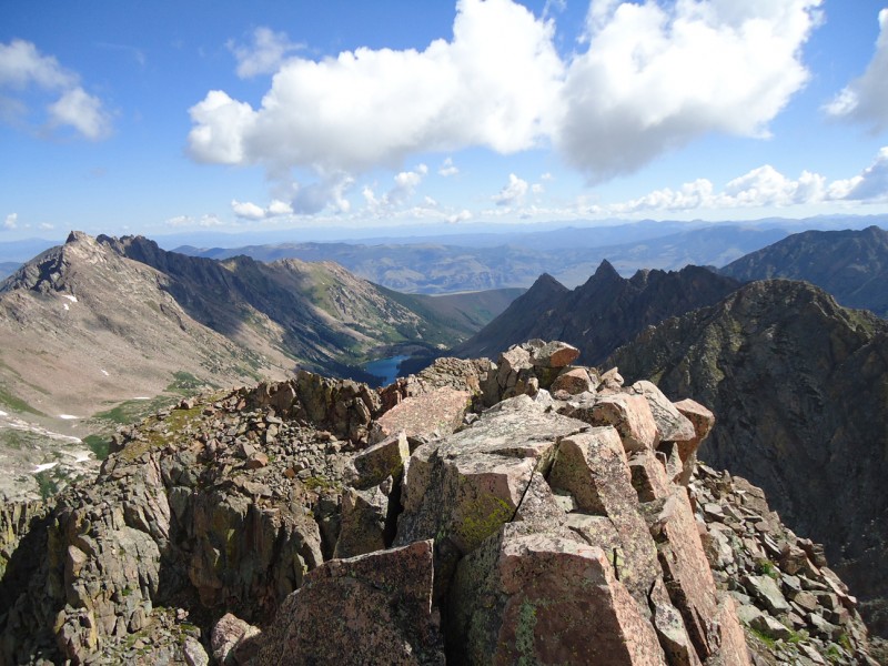
Black BM from Peak G (with H beyond)
2012-08-29
pic5
Peak H from Black BM
2012-08-29
pic6
The "Gore Thumb" seen from the west face of "Vista...
2012-08-14
pic7
Peak C Prime taken from ascent of Peak C‘s s...
2010-07-02
pic8
Peak G from the summit of Peak C
2010-07-02
pic9
Peak E and Ripsaw Ridge from PT 12380 to the South...
2010-01-12
pic10
East Partner from Usable Pass
2010-01-11
pic11
Peak C from Mount Powell
2010-01-11
pic12
Peak X from near Usable Pass
2010-01-11
pic13
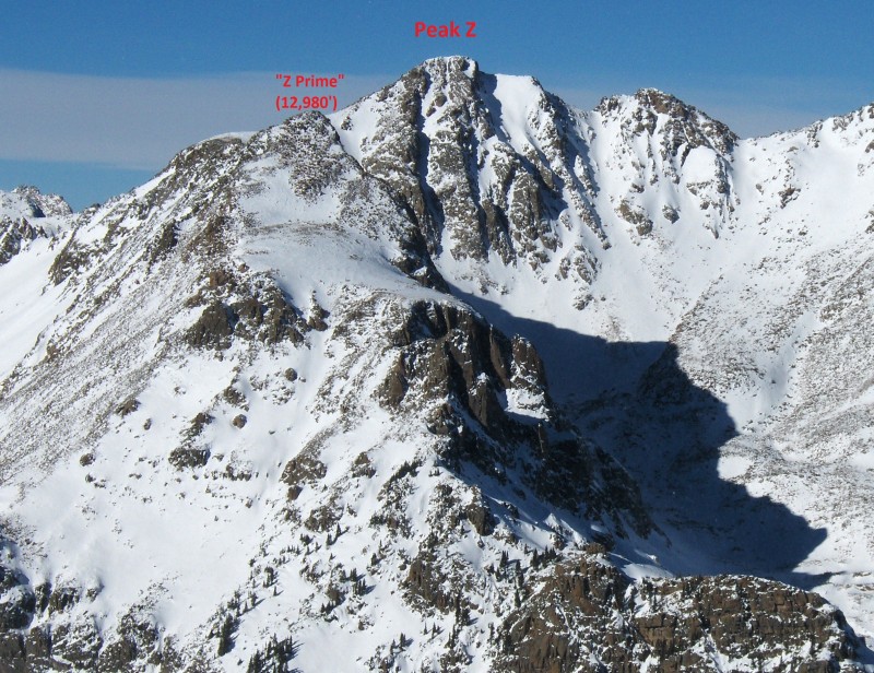
"Peak Z"
2010-01-10
pic14
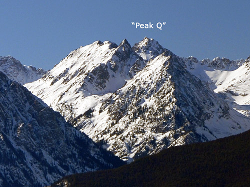
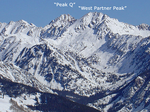
"Peak Q"
2010-01-10
pic15
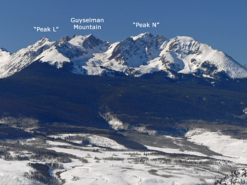
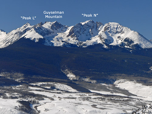
"Peak L"
2010-01-10
pic16
Guyselman Mountain
2010-01-10
pic17
"Peak N"
2010-01-10
pic18
"West Partner Peak"
2010-01-10
pic19
Mt. Powell A
2010-01-10
pic20
Eagles Nest A
2010-01-10
pic21
As seen from peak R
2024-08-21
pic22
As seen from Peak R
2024-08-21
pic23
Panorama of Mt Powell including Eagles Nest and Pe...
2016-07-24
pic24
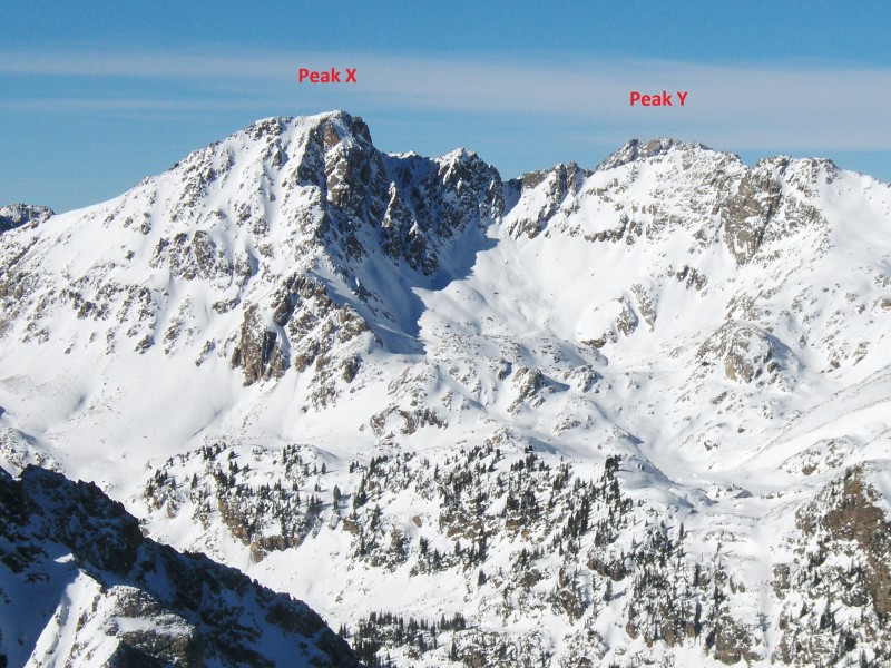
Pk X and Y, taken from E slopes of Keller Mtn
2013-01-06
pic25
Pk Z (and what some consider "Z Prime"), taken fro...
2013-01-06
pic26
pan from Partners to Bloodshaw from E slopes of Ke...
2013-01-06
pic27
Taken from Near West Partner Summit
2012-12-03
pic28
Taken from East Partner‘s West Ridge near Su...
2012-12-03
pic29
W facing couloir on "Peak D"
2012-01-28
pic30
"Peak D" as seen from the basin to the S of "Peak ...
2012-01-28
pic31
S facing couloir on "Peak C"
2012-01-28
pic32
Peak Q from "South America Lake"
2011-09-02
pic33
Peak L from the north slopes of Peak Q
2011-09-02
pic34
Upper Slate Lake from the summit of Peak Q. Peak L...
2011-09-02
pic35
Peak N (L) and Guyselman (Ctr) from Peak L. Green ...
2011-09-02
pic36
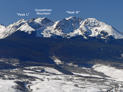
L to R: Peak L, Guyselman, Peak N from trail to Sl...
2011-09-02
pic37
L to R: Peak Q, Peak L & Guyselman from E. Partner
2011-09-02
pic38
L to R: Peaks X,Y & Z from Mt. Solitude
2011-09-02
pic39
Pk N from Guyselman Mtn
2010-09-20
By: rpb13
pic40
Pk L from Guyselman Mtn
2010-09-20
By: rpb13
pic41
Summit of Guyselman from East ridge
2010-09-17
By: rpb13
pic42
"Peak Z" from "Peak X"
2010-08-26
By: rpb13
pic43
Peak C from summit of "South Piney Bristle"
2010-07-02
pic44
Mt Powell from summit of Peak C
2010-07-02
pic45
A panorama of many 13ers in the Gore Range, taken ...
2009-01-01
pic46
Some of these peaks also seen from Ute Pass, north...
2009-01-01
pic47
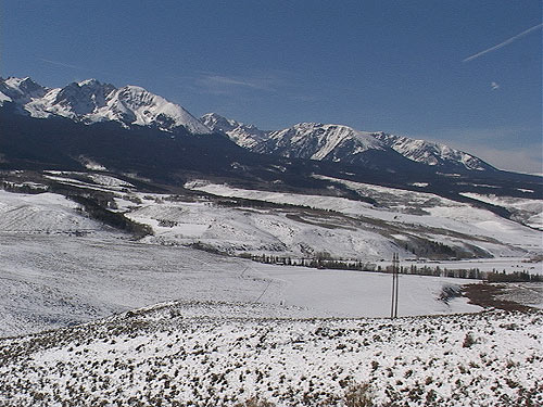
The Gore Range seen from the north.
2009-01-01
pic48
From the Vail ski area. Powell is the large peak ...
2009-01-01
pic49
Mt. Powell seen from Ute Pass, on the north side o...
2009-01-01
pic50
"Peak N" is on the left. Mt. Powell is in the ce...
2009-01-01
pic51
Guyselman Mountain (left) and "Peak N" (right) fro...
2009-01-01
pic52
Guyselman from Ute Pass road.
2009-01-01
pic53
"Peak N" from Ute Pass road.
2009-01-01
pic54
A panorama of many 13ers in the Gore Range; Taken ...
2009-01-01

Climbing Routes

Sorry, no route descriptions have been added for Peak E.
Map

Human Verification Required

Trip Reports

  Peaks Climbed Added
  Peak C -> Peak H via Ripsaw Google Map Included GPX file available for download
By: datum313
Added: 9/27/2021
"Peak C"
"C Prime"
"Peak D"
"Peak E"
"Peak F"
"Peak G"
Black Benchmark
"Peak H"
9/26/2021 9/27/2021 7  3
  Ripsaw Ridge + Black BM & H Google Map Included GPX file available for download
By: JDroz
Added: 9/28/2021
"Peak C"
"C Prime"
"Peak D"
"Peak E"
"Peak F"
"Peak G"
Black Benchmark
"Peak H"
9/25/2021 9/28/2021 14  10
  Rips, Reps & Revelations Google Map Included GPX file available for download
By: alexhenes
Added: 7/5/2021
"Peak C"
"C Prime"
"Peak D"
"Peak E"
"Peak F"
"Peak G"
7/3/2021 7/5/2021 7  6
  Ripsaw Ridge C --> H
By: xterra-james
Added: 9/2/2019
"Peak C"
"C Prime"
"Peak D"
"Peak E"
"Peak F"
"Peak G"
Black Benchmark
"Peak H"
8/25/2019 9/2/2019 14  43
  Goretastic Fun
By: Furthermore
Added: 10/11/2012
"Peak C"
"Peak D"
"Peak E"
"Peak F"
"Peak G"
10/10/2012 10/11/2012 3  30
  Ripsaw Ridge, Gore Range
By: jbchalk
Added: 9/13/2011
"Peak C"
"C Prime"
"Peak D"
"Peak E"
"Peak F"
9/10/2011 9/13/2011 15  30
  One hell of a ridge run - Ripsaw Ridge
By: lordhelmut
Added: 7/18/2010
"Peak C"
"C Prime"
"Peak D"
"Peak E"
"Peak F"
7/17/2010 7/18/2010 2  30