Log In 
Elevation 13,094' (LiDAR)
Prev Elevation 13,088'
CO Rank 570
CO 13er Rank 517 of 582
Range Front
Paiute Peak

13ers Within 5 Miles

Paiute Peak (0.00 mi) Mt. Audubon (0.89 mi) Apache Peak (2.90 mi) Niwot Ridge (2.97 mi) "Dicker`s Peck" (3.16 mi) Navajo Peak (3.17 mi) Kiowa Peak (3.50 mi) Arikaree Peak (3.57 mi)

Photos

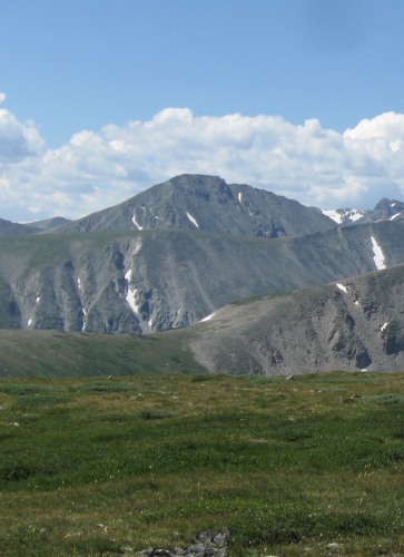
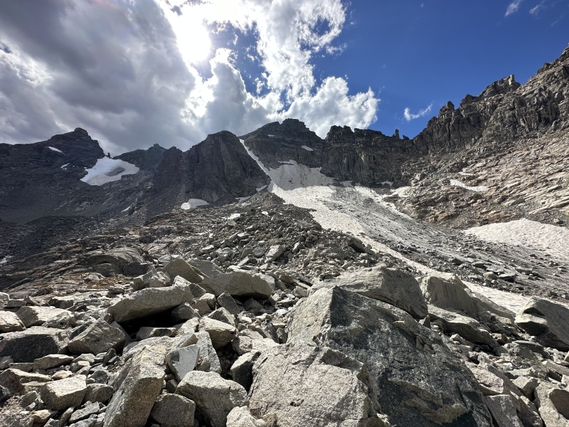
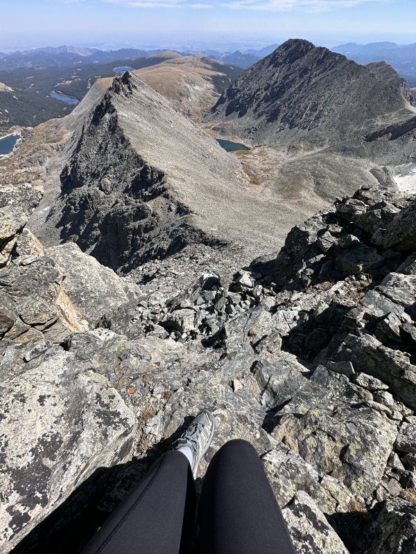
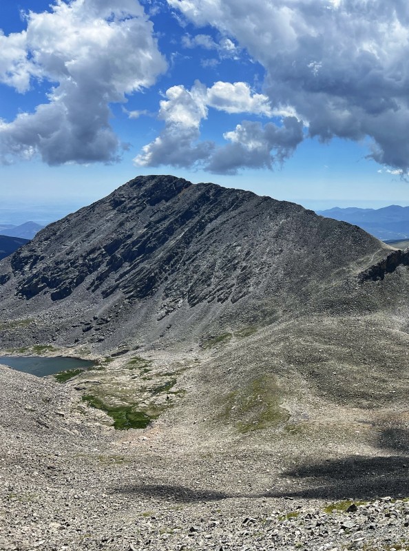
Paiute Peak and Nearby 13ers

pic1
Navajo Peak seen from Mt. Audubon.
2022-07-20
pic2
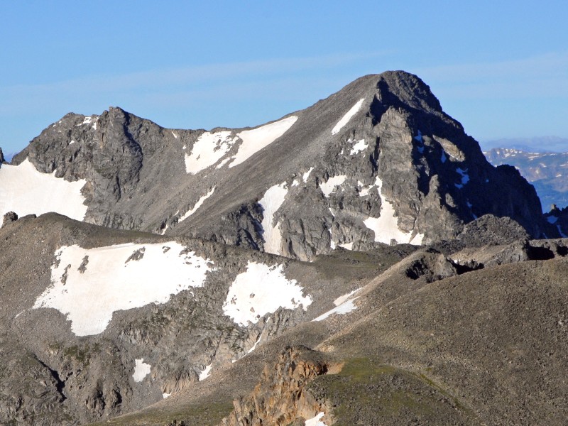
Apache Peak seen from Mt. Audubon.
2022-07-20
pic3
"Dicker‘s Peck" seen from Audubon Trail
2012-02-29
pic4
North Face of Arikaree Peak taken from Navajo Peak
2010-10-20
pic5
Niwot Ridge is the second ridge out in the photogr...
2010-01-13
pic6
Kiowa Peak as seen from the western slopes of Moun...
2010-01-13
pic7
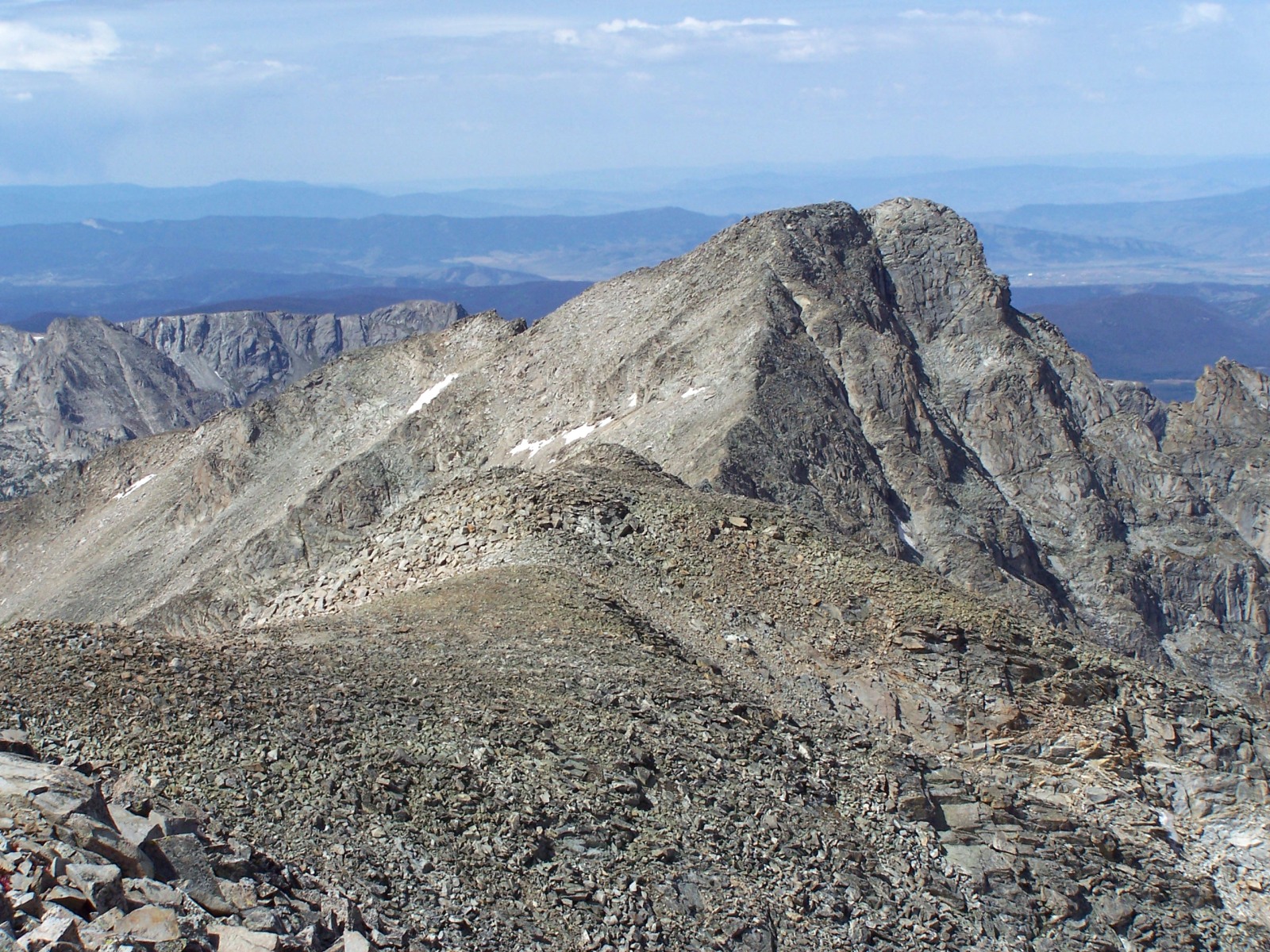
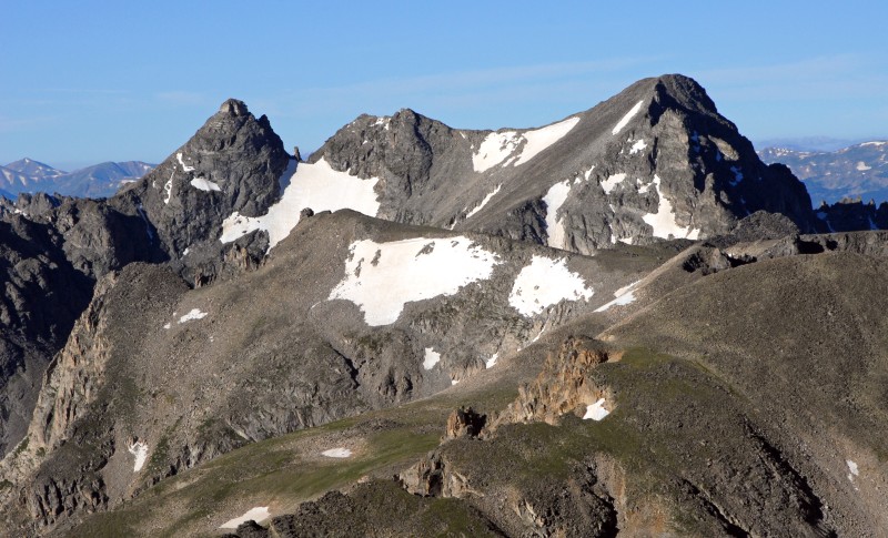
Paiute Peak as seen from the summit of Audubon
2010-01-07
pic8
Picture of Mt. Audubon taken from southeast of Bra...
2010-01-07
pic9
Kiowa and Arikaree from Niwot ridge trail
2024-06-13
pic10
Airplane gully debris near Niwot ridge
2023-09-29
pic11
Chimney final ascent Navajo
2023-09-29
pic12
Navajo in fall colors
2023-09-29
pic13
Apache from Isabelle Glacier
2023-09-29
pic14
Niwot ridge from Navajo peak
2023-09-29
pic15
MT Audobon, Paiute and toll taken from Pawnee pass
2023-09-29
pic16
Paiute and Longs peak taken from Navajo
2023-09-29
pic17
Paiute taken from Toll
2023-09-29
pic18
Paiute and Audobon from Sawtooth
2023-09-29
pic19
Mt Audobon from Sawtooth
2023-09-29
pic20
Kiowa Peak from the northwest
2022-08-14
pic21
Arikaree seen from Navajo Peak
2022-08-14
pic22
Navajo and Apache Peaks seen from Mt. Audubon.
2022-07-20
pic23
Indian Peaks panorama from the Summit of Mt. Audub...
2012-06-24
pic24
view of Apache peak from shoshoni
2011-05-25
By: ajkagy
pic25
Paiute Peak as seen from the pawnee east ridge
2011-05-25
By: ajkagy
pic26
Navajo Peak in October
2011-01-07

Climbing Routes

Paiute Peak - East Ridge from Mt. Audubon route
Paiute Peak - East Ridge from Mt. Audubon
Difficulty: Easy Class 3
Total Elevation Gain: 3,700'
Round-trip Distance: 10 mi
Exposure: Considerable
Rockfall Potential: Considerable
Route-Finding: Considerable
Commitment: Moderate

Map

Human Verification Required

Trip Reports

  8 Recent Reports Peaks Climbed Added
  From Brainard Lake
By: WildWanderer
Peak(s): Paiute Peak
Added: 8/18/2024
Paiute Peak 8/17/2024 8/18/2024 3  41
  Paiute + Audubon CW traverse Google Map Included GPX file available for download
By: tylerhohs
Added: 9/4/2023
Paiute Peak
Mt. Audubon
9/2/2023 9/4/2023 7  20
  LA Freeway Google Map Included GPX file available for download
By: blazintoes
Added: 8/16/2022
Longs Peak
Pagoda Mountain
Isolation Peak
Paiute Peak
Apache Peak
North Arapaho Peak
South Arapaho Peak
8/11/2022 8/16/2022 37  33
  Mt Audubon to Paiute Peak Google Map Included GPX file available for download
By: jollyusername
Added: 7/19/2022
Mt. Audubon
Paiute Peak
7/2/2022 7/19/2022 6 
  SOLO Day Hiking the INDIAN PEAKS 58
By: illusion7il
Added: 9/23/2021
North Arapaho Peak
Mt. Audubon
Navajo Peak
Apache Peak
Ogalalla Peak
"Old Baldy"
Paiute Peak
James Peak
Parry Peak
Lone Eagle Peak 11,940
9/23/2021 9/23/2021 34 
How to Be a Ski Mountaineer
By: 123tqb
Peak(s): Paiute Peak
Added: 4/5/2021
Paiute Peak 4/3/2021 4/5/2021 4  23
  Paiute + Audubon Clockwise Loop Google Map Included GPX file available for download
By: Peaks4Days
Added: 10/13/2020
Paiute Peak
Mt. Audubon
10/10/2020 10/13/2020 13  6
  Milner Pass to Berthoud Pass on the true Continental Divide. On-sight.
By: chrisharkness
Added: 8/23/2020
McHenrys Peak
Chiefs Head Peak
Isolation Peak
Mt. Alice
Paiute Peak
Navajo Peak
North Arapaho Peak
James Peak
Mt. Flora
Taylor Peak
8/16/2020 8/23/2020 16  9
View All 19 Trip Reports