Taken from different locations,
1 and
2 show the length and ups-and-downs of this ridge hike. From the Hoosier Pass parking area, walk east across Highway 9 (
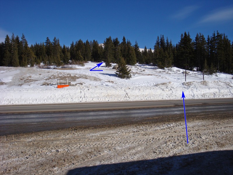
3) to the start of the 848W road (
4) which is used to maintain some radio towers to the east. Continue along the road for over 1/2 mile where the terrain opens up -
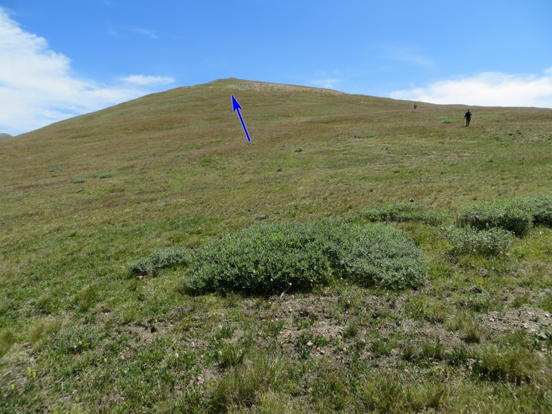
5. As you continue higher, you'll see some radio towers up to the left. When the road turns towards the towers, leave it, stay left of some willows and continue east up a broad slope. Now above trees, hike east to the ridge crest, shy of 12,800' -
6.
Once on the ridge, it becomes obvious that the remainder of this hike has more than a few ups-and-downs -
7. Stay on the ridge crest begin walking over the ridge bumps -
8. You cannot see the true summit but
9 shows most of the features along the ridge. After a few bumps, turn left (north) to reach the prominent Point 13,201' -
10.
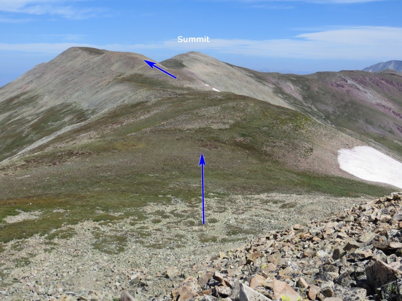
Once on Point 13,201', the remaining hike to the summit becomes more clear -
11. Drop over a rocky area and continue along the ridge -
12. Gain the next point and you'll finally get a clear view of the true summit, less than 1/2 mile away -
13. Cross the saddle and walk up to the summit -
14,
15 and
16.


 GPX Track File


