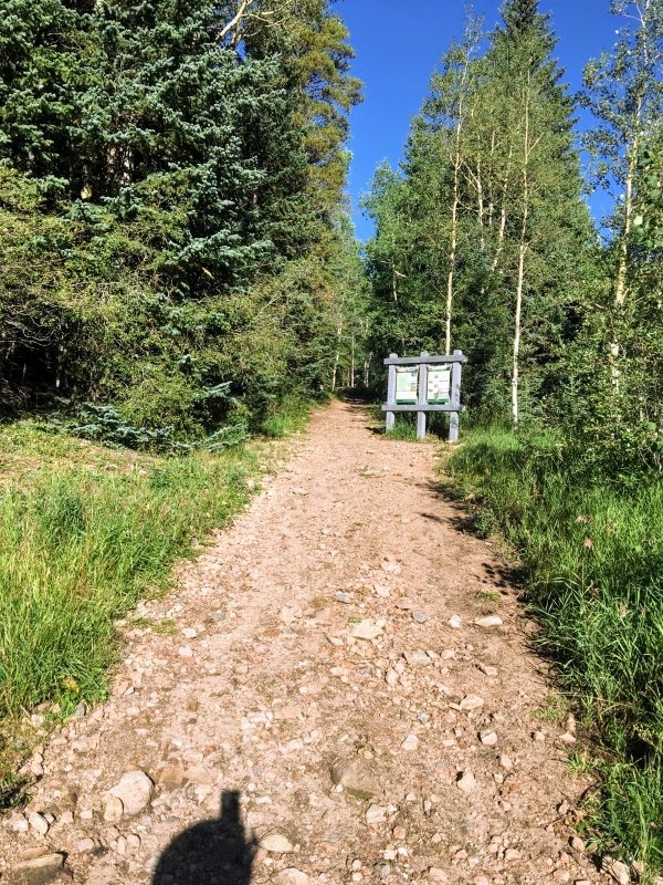
From the Deer Creek Trailhead, start hiking on the Tanglewood and Rosalie Trails. Start by the sign at the west end of the Deer Creek Trailhead parking lot -
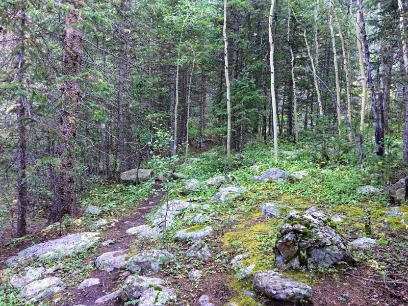
1. The well-maintained trail starts through a large ponderosa and spruce forest. Deer Creek meanders through the shade -
2. There is a variety of ferns and wildflowers along the banks of the creek and on the nearby hillsides. Follow the Tanglewood (#636) and Rosalie (#603) Trails west to a junction near the start with a trail that heads up Deer Creek -
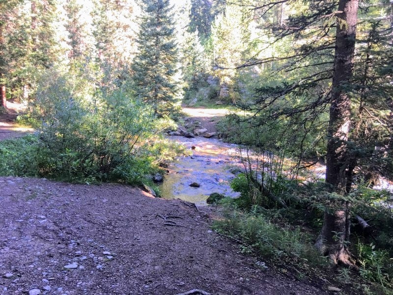
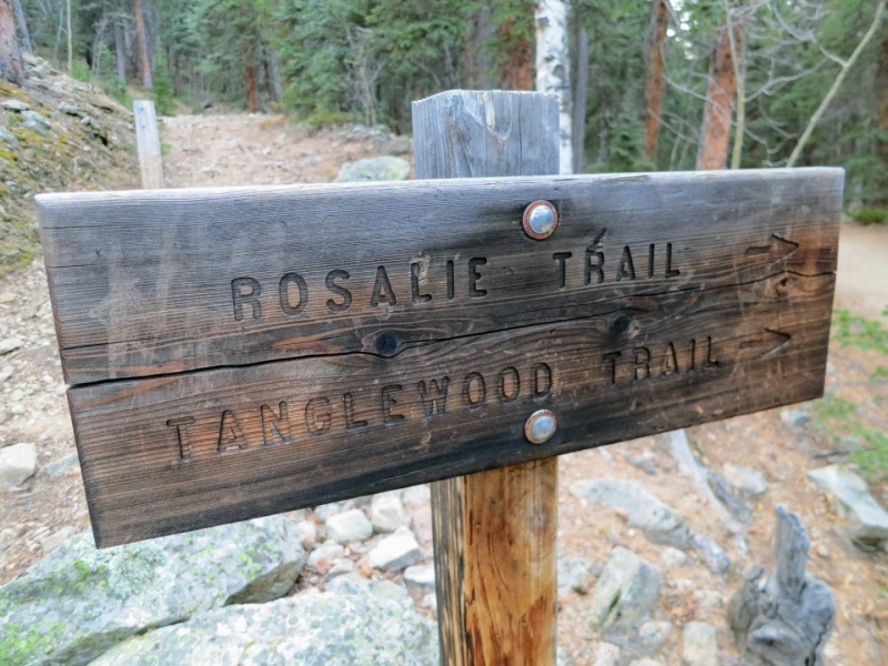
3. Stay to the right on the Rosalie Trail and Tanglewood Creek Trail, as the sign indicates. After crossing Deer Creek on a narrow log bridge, you'll north hike alongside Tanglewood Creek and cross it several times -
4. Continue up the trail for approximately 1 mile and you will reach another junction. The Rosalie Trail bears left up an old logging road, while the Tanglewood Trail goes right. Again, take the right fork here, and stay on the Tanglewood Trail. Just after the split is the Mount Evans Wilderness boundary.
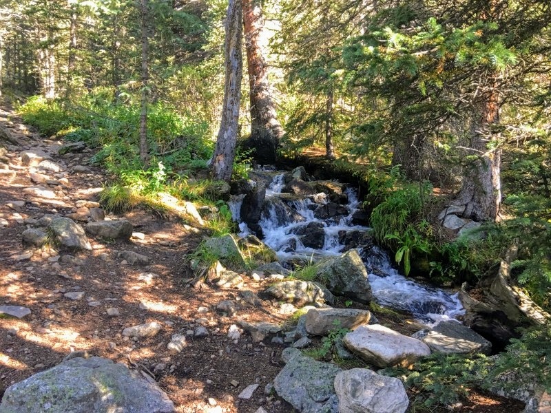
The next part of the trail again follows and crosses Tanglewood Creek -
5. Crossing the stream is easy as there are always wooden bridges, flattened logs, and large boulders. The trail continues to climb north and head through some aspens and small meadows that are filled with wildflowers -
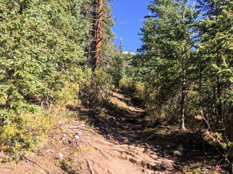
6. The trail's grade becomes increasingly steeper after 3 miles -
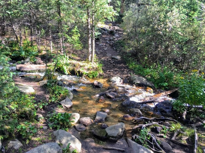
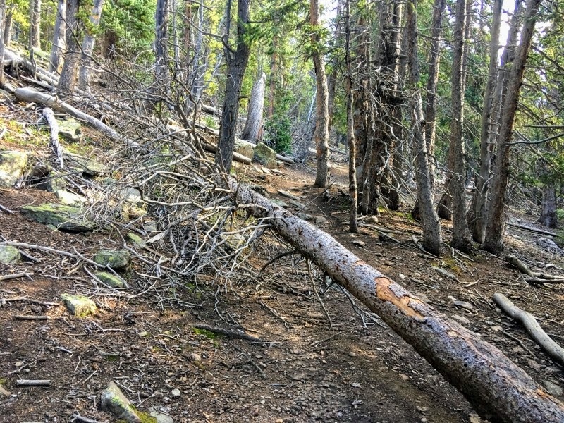
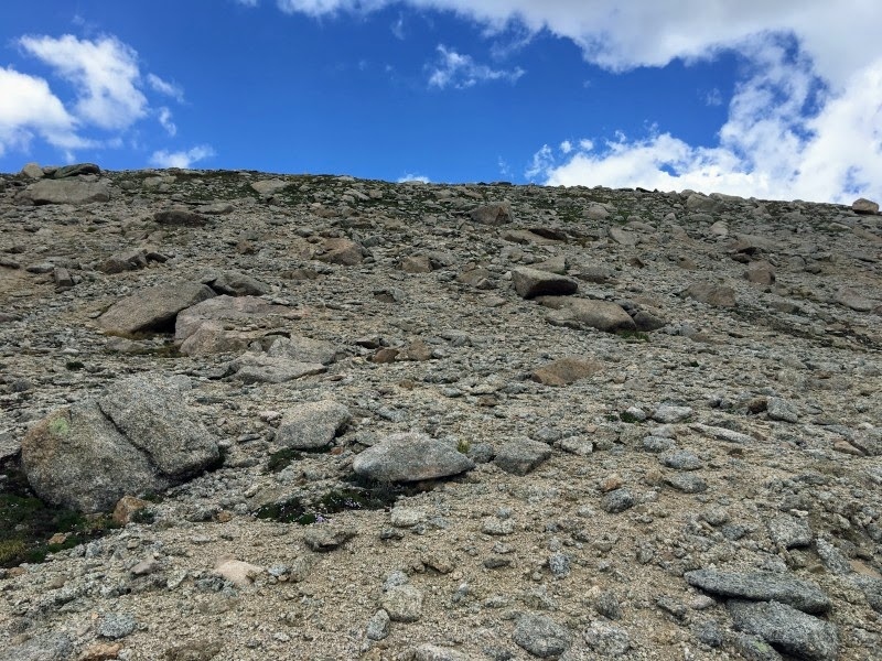
7. As you follow the creek drainage up, you'll notice that the trail also starts getting much rockier -
8. The trail climbs slowly through a dense forest and leaves Tanglewood Creek -
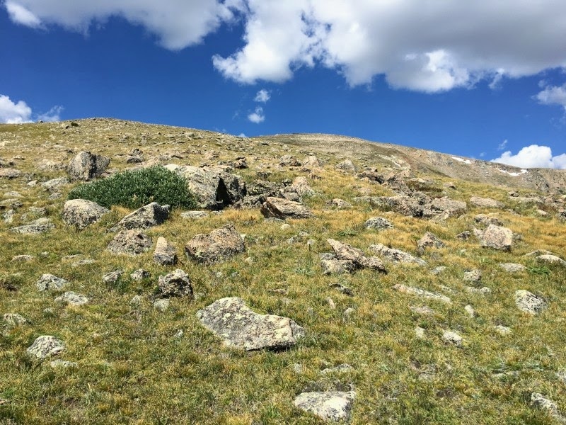
9. Stay on the trail as it switchbacks and approaches treeline -
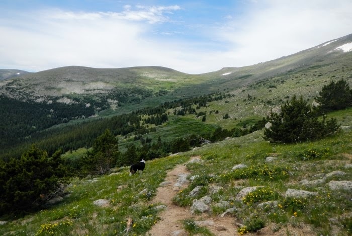
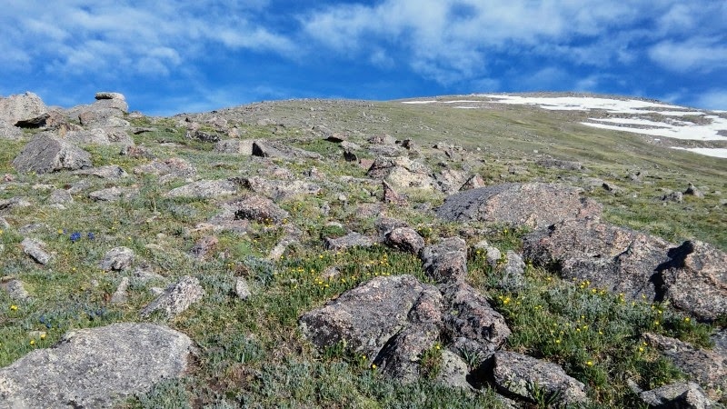
10. After breaching the treeline, the trail leads you to meadows with willows and wildflowers -
11. The trail avoids the willows to the left -
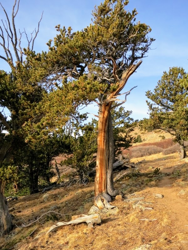
12. Just below the saddle of Rosalie and Pegmatite Points, there is a grove of bristlecone pines as you enter the tundra -
13. Stay on the main trail as it heads toward West Pegmatite Point -
14.
15 is a view of Bandit Peak from above the bristlecone pines. The trail becomes slightly harder as it ascends toward the saddle above -
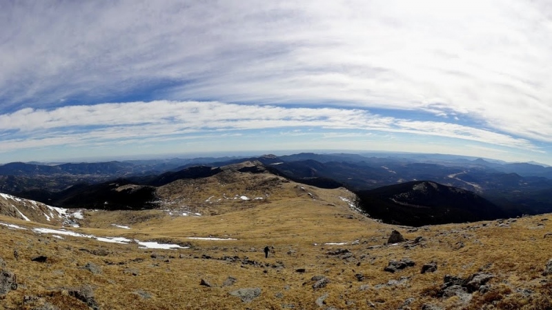
16. 4 miles from the Deer Creek Trailhead, you'll gain the saddle between Rosalie to the left and Pegmatite Points to the right. The saddle is marked by a tall pole of wood -
17.
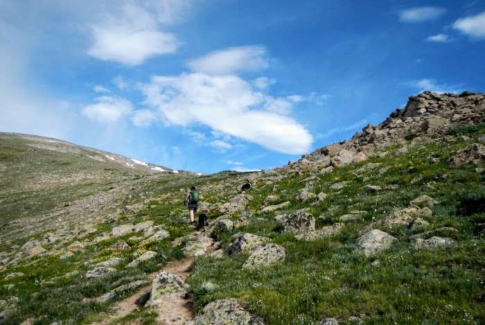
Once you gain the saddle, you will leave the trail and go to the west -
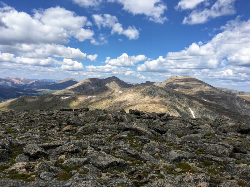
18. The trail you were on becomes the Roosevelt Lakes Trail and continues to the Roosevelt Lakes below. No trails are going up from this point, but another 1600' of tundra are between you and the summit.
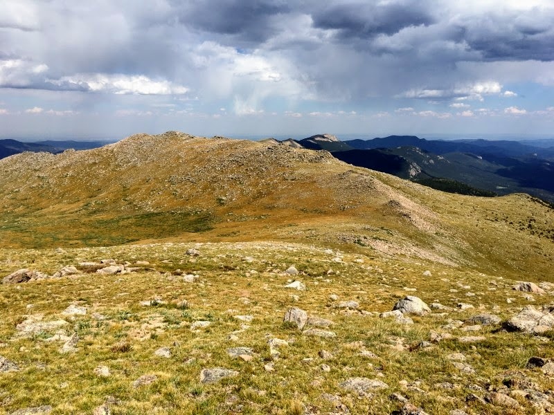
19 looks down at the saddle from 12,500'. Hike west on the crest of the long and gentle east ridge of Rosalie Peak, which is also the Clear Creek/Park County line -
20. The high point you can see from here is a false summit at 13,400 feet -
21. The long and gradual slope passes several insignificant bumps as it approaches Rosalie's false summit -
22. Approach Rosalie's false summit -The hardest point on the ridge is just before the false summit -
23. From the false summit, you can view the true summit -
24. The summit is mostly flat -
25. Return the same way you came.


 GPX Track File
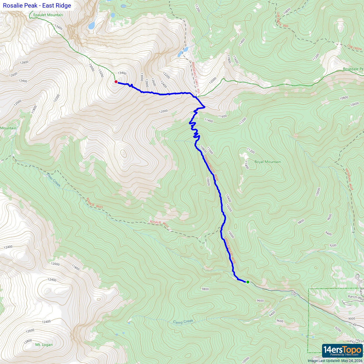


