| Report Type | Full |
| Peak(s) |
Grizzly Peak - 13,753 feet San Miguel Peak - 13,756 feet |
| Date Posted | 09/02/2020 |
| Date Climbed | 08/14/2020 |
| Author | Mtnman200 |
| Additional Members | RandyMack |
| Simplicity Is Beautiful |
|---|
|
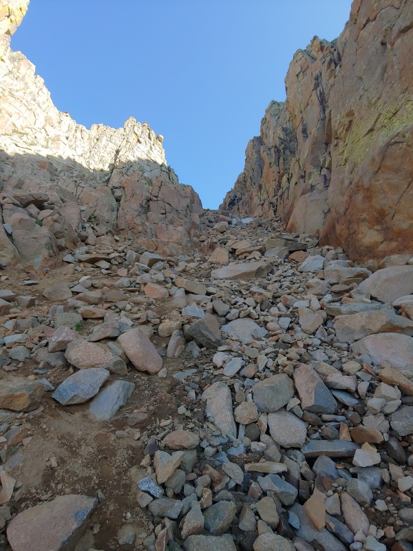
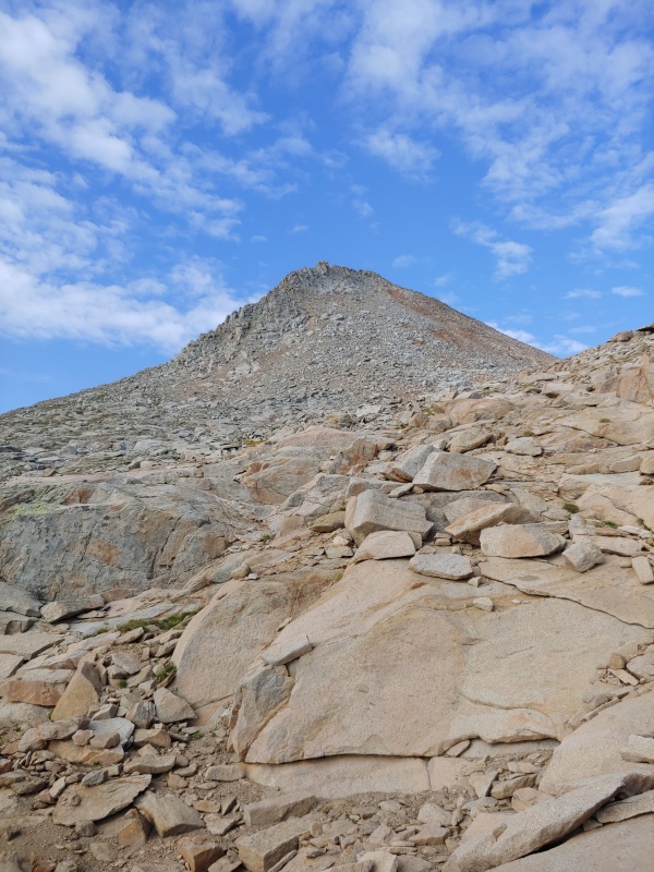
Thursday, Aug. 13, 2020. The Lake City portion of our trip couldn't have gone any better. After sleeping in late and spending some time hanging out in Silverton, we drove 22 miles south of Silverton and then 15.3 miles past Purgatory ski area to the end of Forest Road 579, where we set up camp and cooked dinner. Tomorrow's goal: Grizzly Peak B (13,738') Friday, Aug. 14, 2020. We headed northwest a short distance to the Colorado Trail and followed it to about 11,300', where an informal trail begins climbing east and then north. After about a mile, we left the informal trail and headed northwest, eventually climbing into the basin south of Grizzly Peak B. 
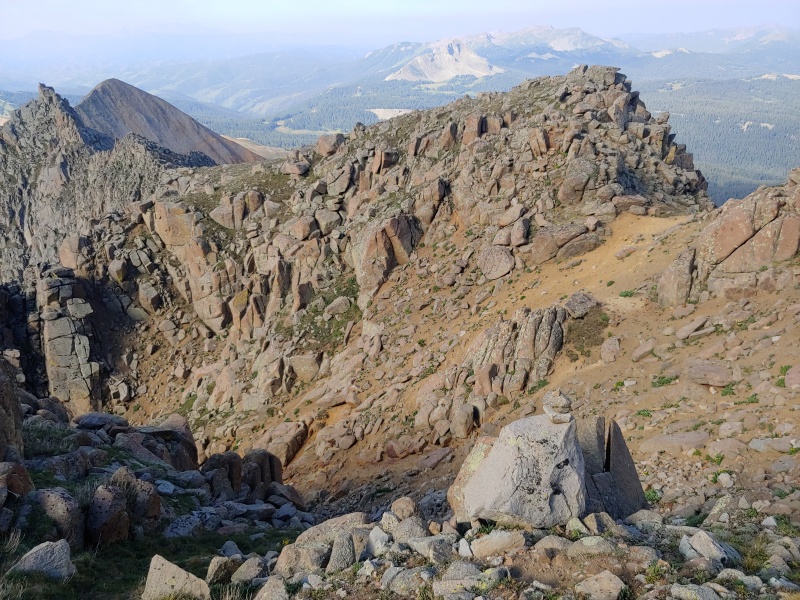
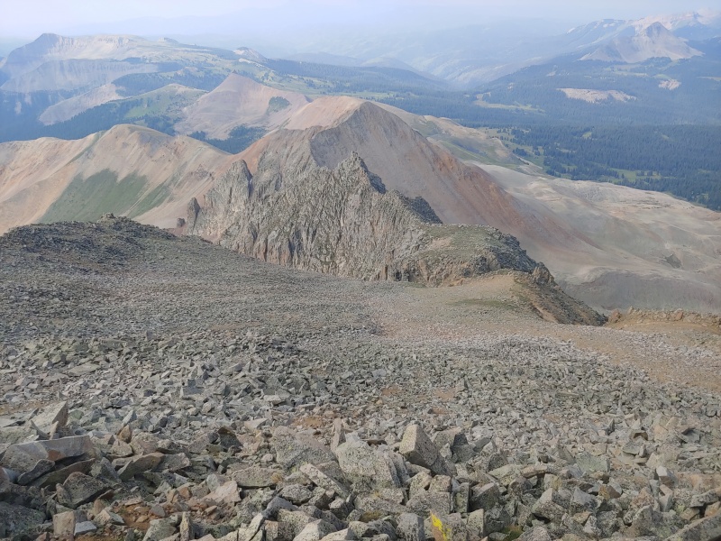
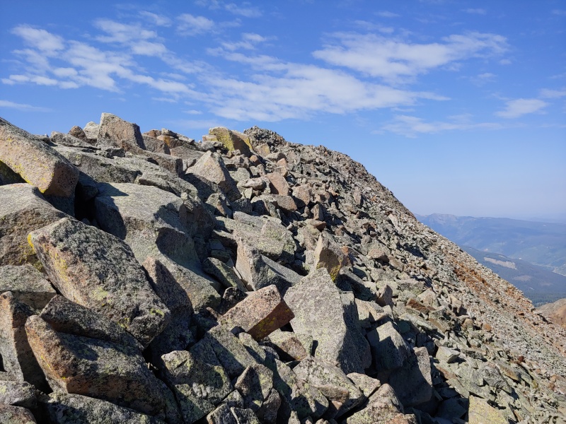
We climbed to the false summit east of Grizzly Peak B's summit and then followed the ridge west to the true summit. Someone had thrown the summit register canister down the steep north side of Grizzly Peak B. 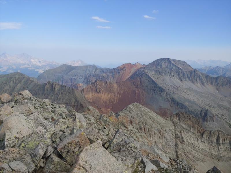


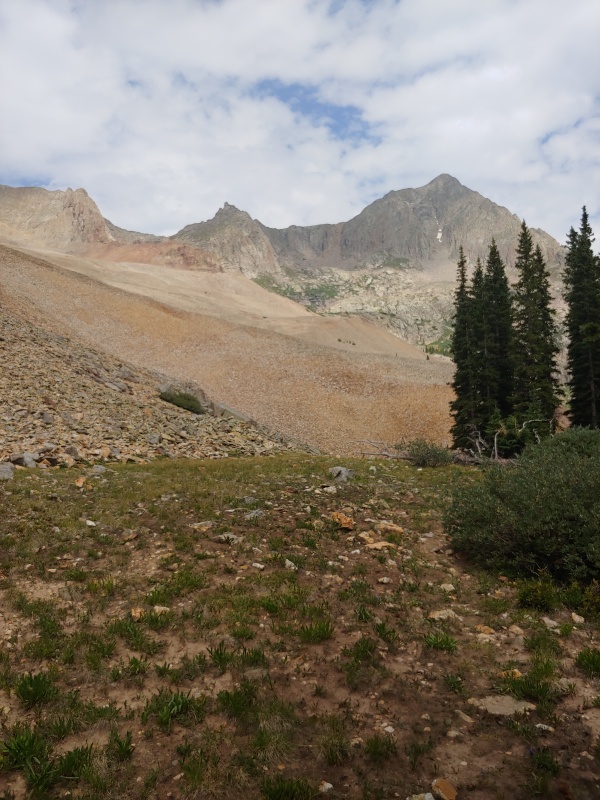
After returning to the trailhead, we drove through Silverton and west on the South Mineral Creek road to near its end. Along the way, we followed a slow-moving pickup truck towing a popup camper that repeatedly bounced off the ground. Eventually, the driver pulled over and let us go by. We set up camp partway up a hill near the start of the Rico-Silverton trail. Tomorrow's goal: San Miguel Peak (13,752'). Normally, this peak is climbed from the west, but that would have meant a long drive toward Telluride. Saturday, Aug. 15, 2020. We broke camp and drove about 1/2 mile to the Lake Hope trailhead near the Bandora Mine. A couple of miles of hiking brought us to the 12,445' saddle between V9 (13,260') and V8 (13,300'). We then descended on the trail to the eastern end of Lake Hope, 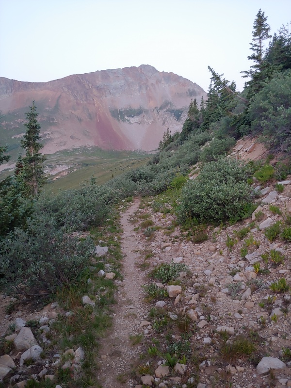
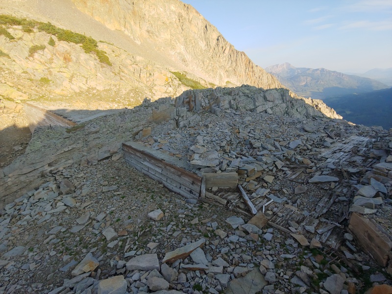
The water level in Lake Hope was down quite a bit, so we left the trail and walked along the eastern side of Lake Hope toward the dam at the north end of the lake. Near the dam we had to climb a bit to bypass a section that was too steep to contour across. 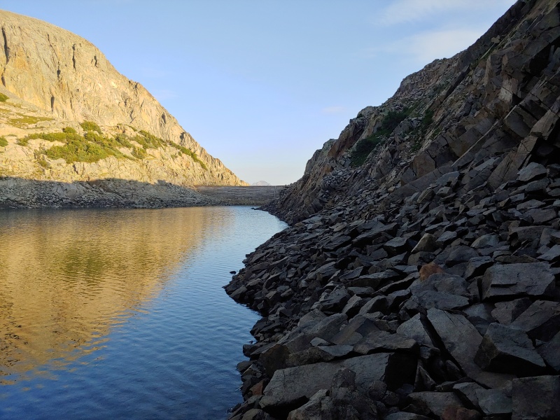
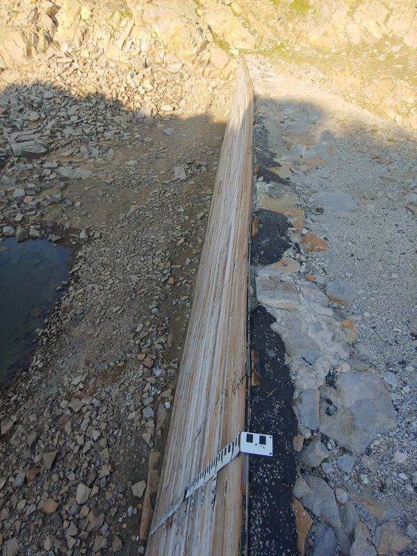
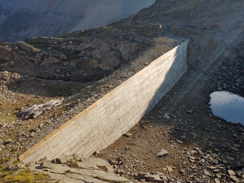
After crossing the dam, we climbed west to reach San Miguel Peak's northeast ridge. 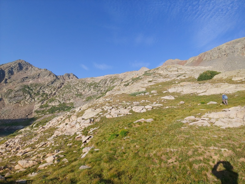

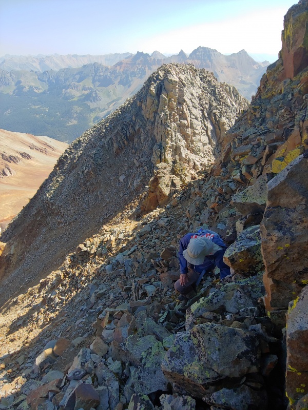

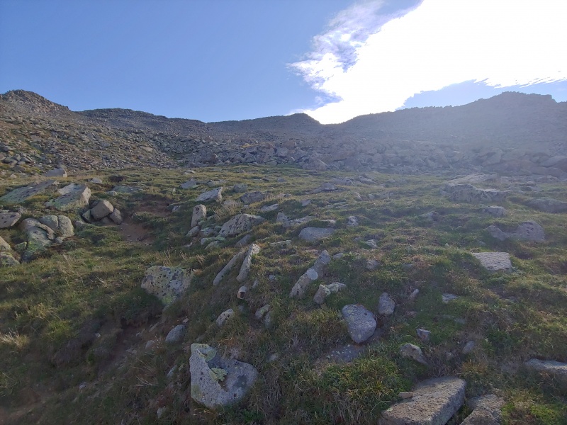
After lunch on the summit, we descended to Hope Lake. This time, we contoured around its east side to the trail, which we then followed back to the trailhead. We drove to Ouray and checked into the Historic Western Hotel before having pizza for dinner. Sunday, August 16, 2020. Today was a much-needed and well-deserved rest day. Shortly after noon, we drove toward Yankee Boy Basin and were able to get one of the last vacant campsites at Thistledown Campground. Our goal over the next few days was to climb all five thirteeners near Yankee Boy Basin that Randy hadn't yet climbed. Thumbnails for uploaded photos (click to open slideshow): ")
")
")
")
")
")
")
")
")
")
")
")
")
")
")
")
")
")
")
")
|
| Comments or Questions |
|---|
|
|
Caution: The information contained in this report may not be accurate and should not be the only resource used in preparation for your climb. Failure to have the necessary experience, physical conditioning, supplies or equipment can result in injury or death. 14ers.com and the author(s) of this report provide no warranties, either express or implied, that the information provided is accurate or reliable. By using the information provided, you agree to indemnify and hold harmless 14ers.com and the report author(s) with respect to any claims and demands against them, including any attorney fees and expenses. Please read the 14ers.com Safety and Disclaimer pages for more information.
Please respect private property: 14ers.com supports the rights of private landowners to determine how and by whom their land will be used. In Colorado, it is your responsibility to determine if land is private and to obtain the appropriate permission before entering the property.


