Download Agreement, Release, and Acknowledgement of Risk:
You (the person requesting this file download) fully understand mountain climbing ("Activity") involves risks and dangers of serious bodily injury, including permanent disability, paralysis, and death ("Risks") and you fully accept and assume all such risks and all responsibility for losses, costs, and damages you incur as a result of your participation in this Activity.
You acknowledge that information in the file you have chosen to download may not be accurate and may contain errors. You agree to assume all risks when using this information and agree to release and discharge 14ers.com, 14ers Inc. and the author(s) of such information (collectively, the "Released Parties").
You hereby discharge the Released Parties from all damages, actions, claims and liabilities of any nature, specifically including, but not limited to, damages, actions, claims and liabilities arising from or related to the negligence of the Released Parties. You further agree to indemnify, hold harmless and defend 14ers.com, 14ers Inc. and each of the other Released Parties from and against any loss, damage, liability and expense, including costs and attorney fees, incurred by 14ers.com, 14ers Inc. or any of the other Released Parties as a result of you using information provided on the 14ers.com or 14ers Inc. websites.
You have read this agreement, fully understand its terms and intend it to be a complete and unconditional release of all liability to the greatest extent allowed by law and agree that if any portion of this agreement is held to be invalid the balance, notwithstanding, shall continue in full force and effect.
By clicking "OK" you agree to these terms. If you DO NOT agree, click "Cancel"...
Over the previous 10 days, we'd climbed every peak on our agenda plus a couple of unplanned bonus peaks. We still needed to climb Potosi Peak (13,786'), Gilpin Peak (13,694'), Mt. Emma (13,581'), Cirque Mountain (13,686'), and T5 (13,436'). Complicating matters was the heavy smoke from the Pine Gulch Fire north of Grand Junction. This fire was started by lightning on July 31, 2020 and within a month became the largest wildfire in Colorado history.
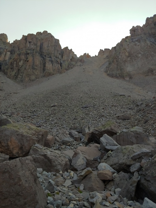
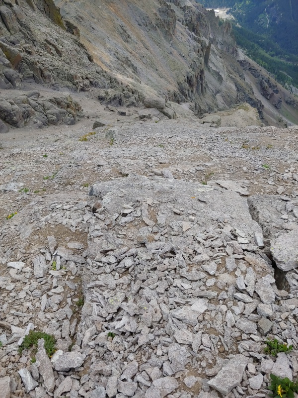
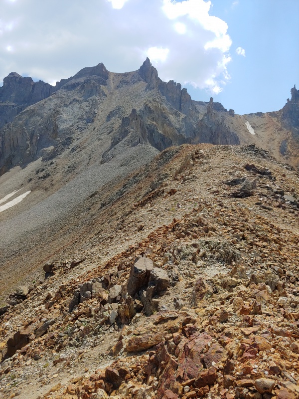
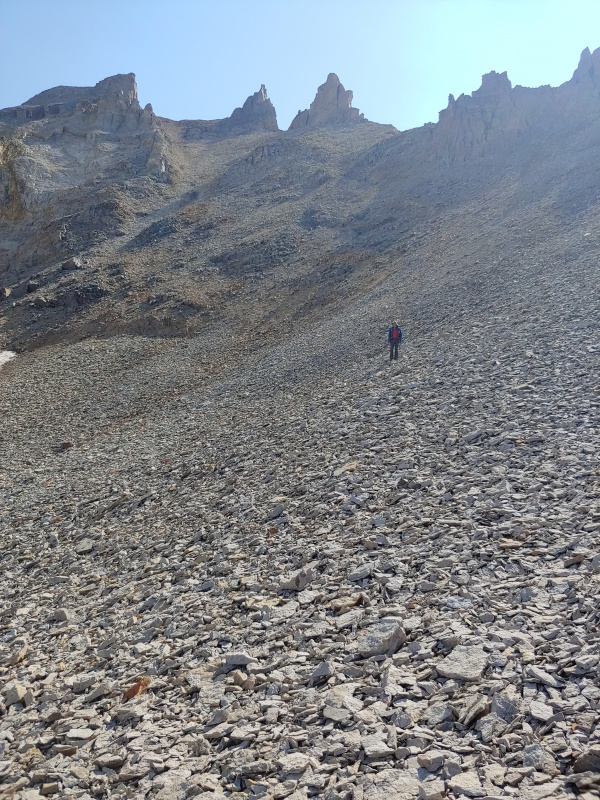
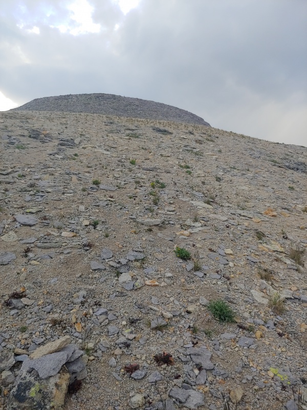
Monday, Aug. 17, 2020. We drove up the Yankee Boy Basin road to about 11,400' and then started hiking NE toward the Coffeepot. The scree seemed never-ending, and our comments will not be repeated here.
We found no shortage of loose rocks on the way to the Potosi - Coffeepot ridge
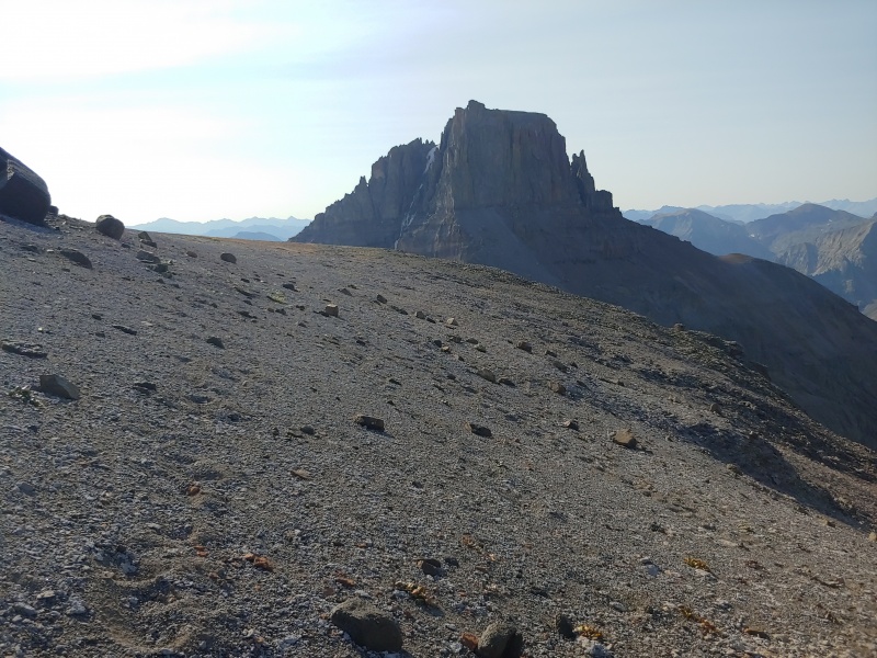
Once on the ridge, it's an easy walk toward Potosi Peak.
Potosi Peak from its NW ridge
It definitely helps to have a trail across the loose rock
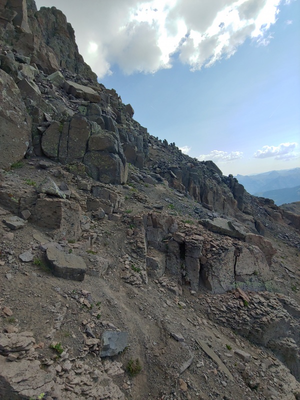
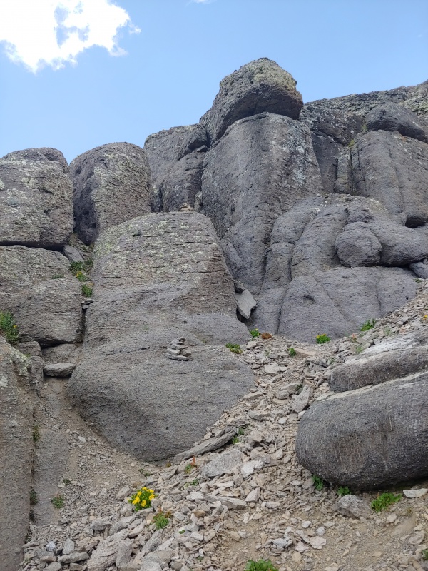
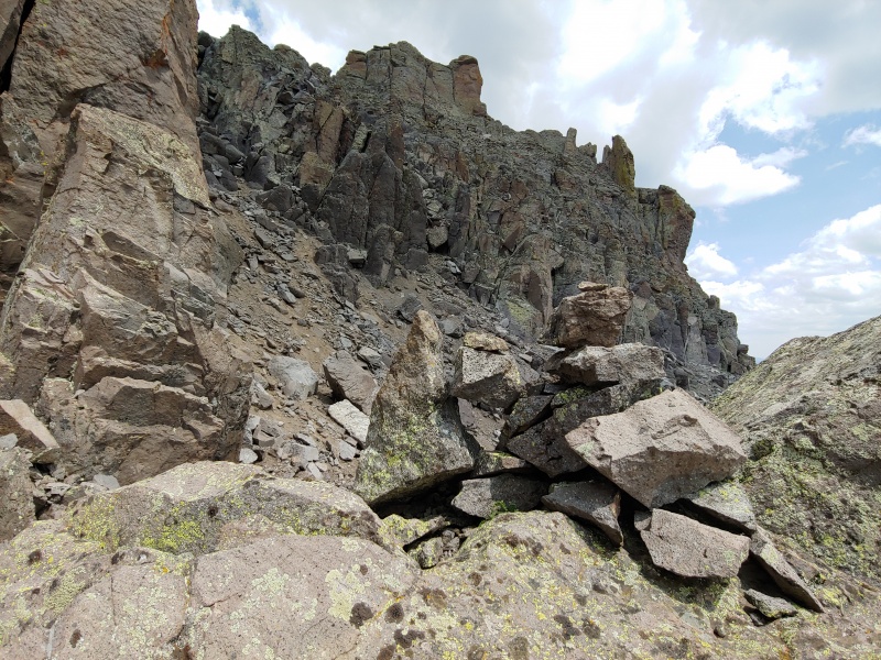
The rock quality on Potosi Peak leaves something to be desired
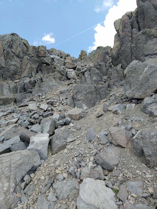
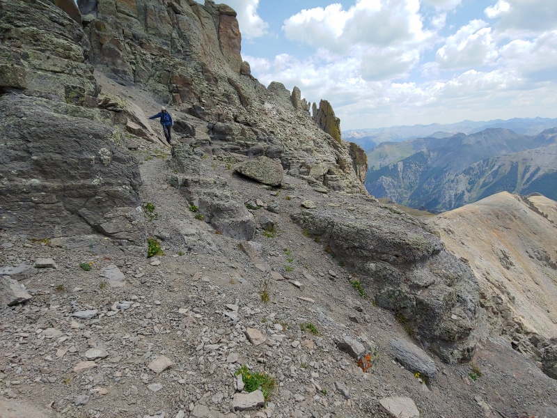
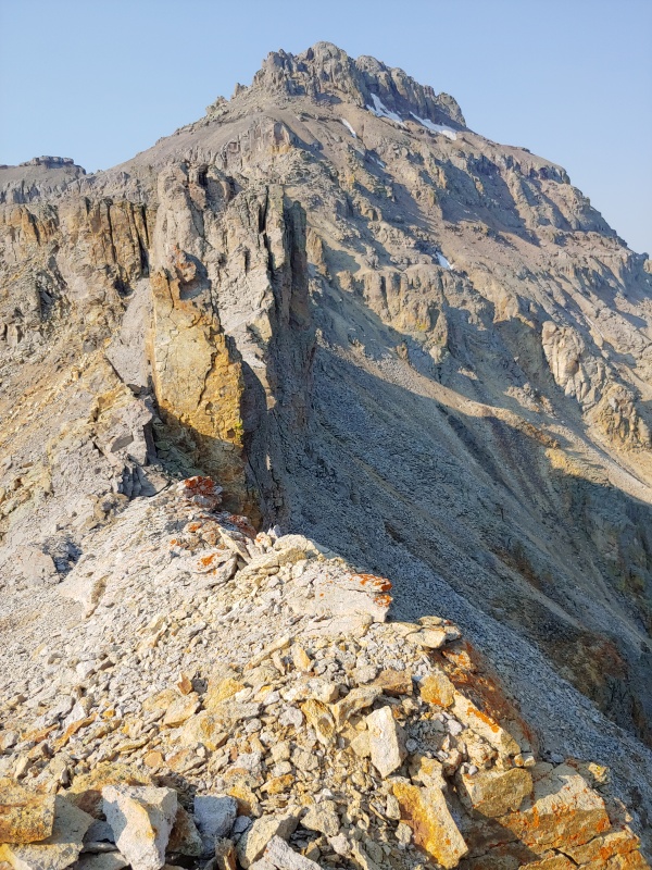
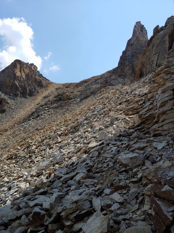
We reached a well-cairned couloir that clearly has had a lot of traffic, so we headed up
Looking up the couloir that allows access to Potosi Peak's summit
The route is well-cairned
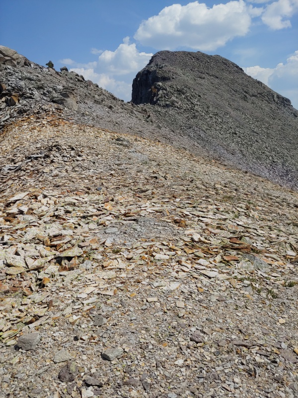
Looking down our ascent route from not too far below the summit
We scrambled onto the surprising large and flat summit area, relieved that we don't have to ascend the scree to the Coffeepot again.
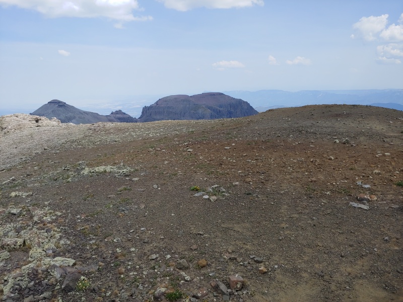
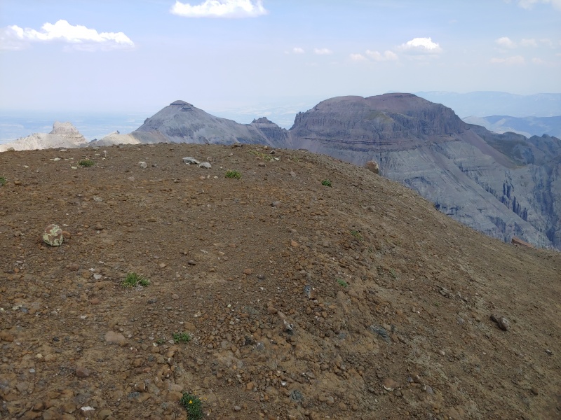
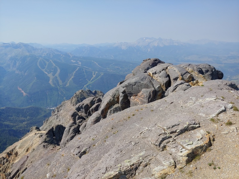
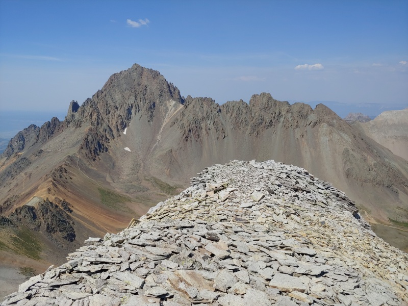
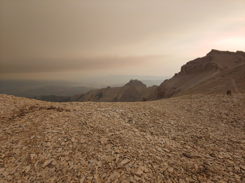
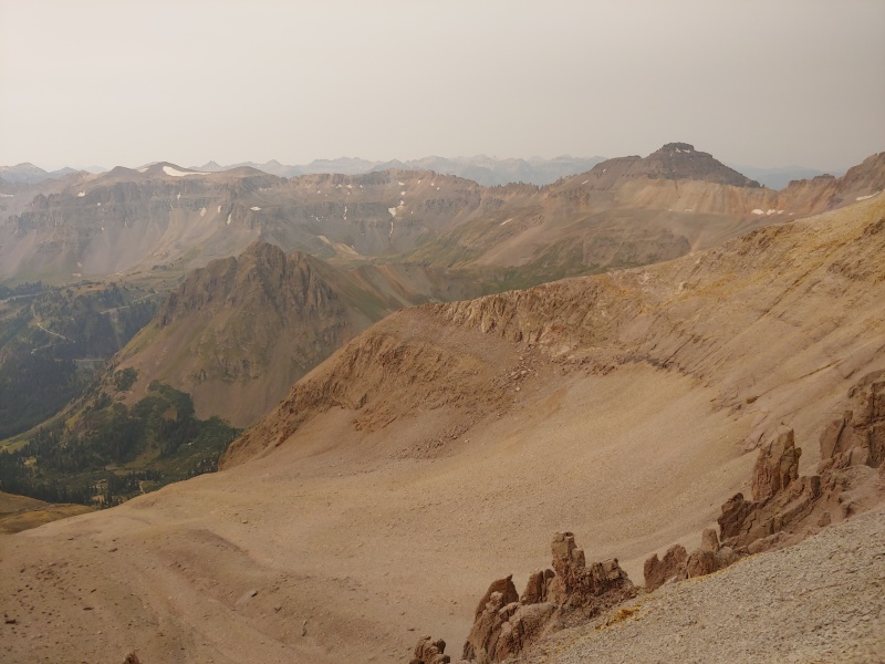
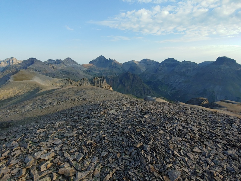
View from the summit of Potosi Peak
Mt. Sneffels, Cirque Mountain, and Teakettle Mountain from the summit of Potosi Peak
Another view from the summit of Potosi Peak
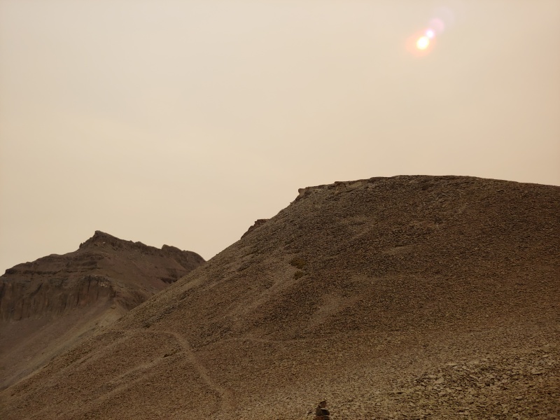
Heading back toward the Coffeepot
More poor quality rock on Potosi Peak; Randy described Potosi as a "fixer-upper of a mountain," which I agree is an accurate description
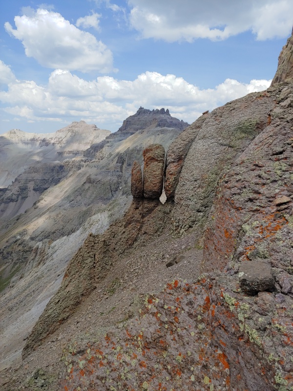
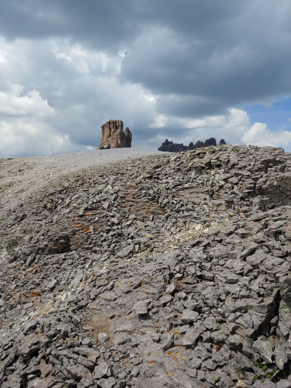
Interesting rock formation on Potosi Peak
May I give you a hand?
We returned to our campsite pleased with today's climb but at the same time a bit relieved to be done with Potosi Peak.
Tuesday, Aug. 18, 2020. We drove to about 11,480' near Sneffels Creek at the end of a side road heading SW from the Yankee Boy Basin road. After hiking SW to about 12,200', we headed west toward Gilpin Peak but could not see a reasonable way up. Not wanting to waste too much time, we contoured toward a 13,027' ridge point and then climbed west to Mt. Emma's north ridge.
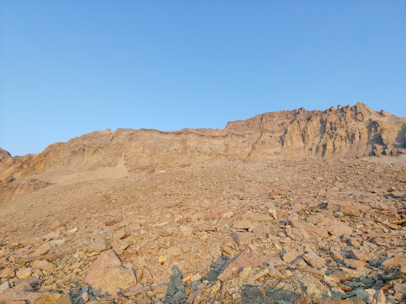
The east side of Gilpin Peak is well-armed with cliffs
I climbed Gilpin Peak via this route in 1989 but today simply couldn't see a reasonable route to the ridge
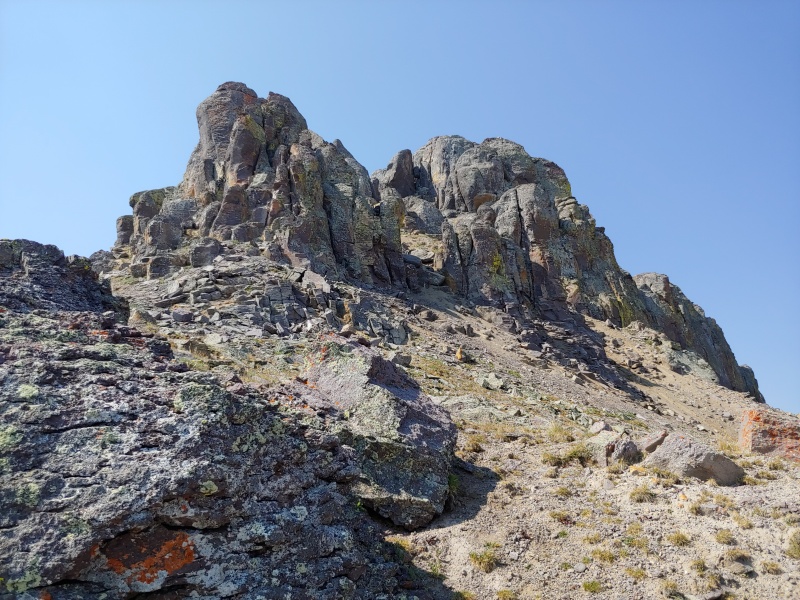
Heading west toward Mt. Emma's north ridge; Mt. Emma is left of center
The Gilpin - Emma ridge
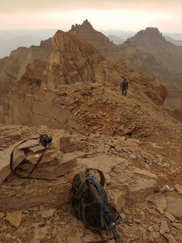
Once we reached Mt. Emma's summit block, there were several couloirs to choose from. Unfortunately, most were filled with snow, so we ascended the first couloir we reached because it allowed us to avoid the snow. This couloir worked well, although then we had to negotiate several gaps in the ridge to reach the true summit.
Climbing a steep couloir on Mt. Emma's summit block
The summit of Mt. Emma, with a lot of smoke in the background
Looking back at Mt. Emma's summit block
After returning to our car, we ate lunch and then drove to the Mt. Sneffels 4WD trailhead, determined to try a different approach on Gilpin Peak. The road has definitely deteriorated since we were last here in 2011. We followed the trail west for about 1/4 mile before leaving it and heading across the basin toward the Gilpin Peak - Mt. Sneffels saddle.
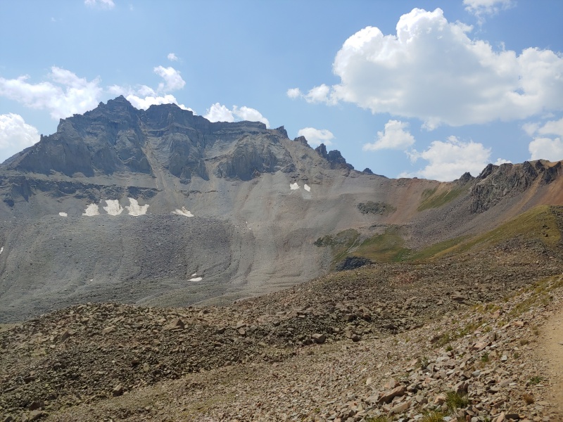
Gilpin Peak from the basin between it and Mt. Sneffels; we headed to the saddle to the right (north) of Gilpin Peak
The north ridge of Gilpin Peak
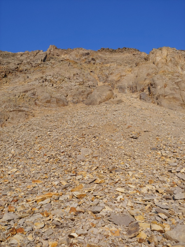
We followed an informal trail up the steep scree to this saddle
From the top of the couloir in the previous photo, it was an easy stroll to the summit of Gilpin Peak
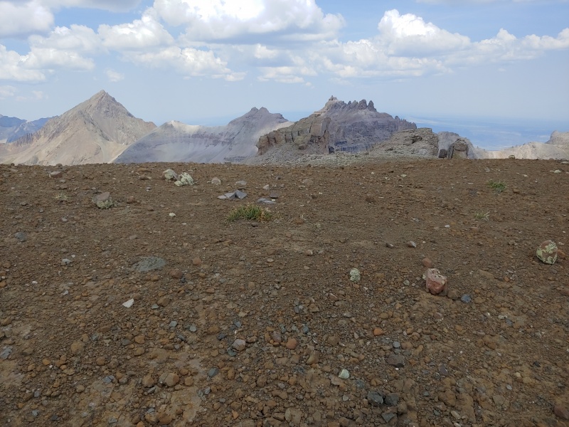
The view of Mt. Sneffels from Gilpin Peak's summit
We returned via our ascent route and were able to descend the scree much faster than we had ascended it.
Heading across the basin between Gilpin Peak and Mt. Sneffels toward the trailhead
Once back at the trailhead, a slow drive down the jeep road brought us back to our campsite at Thistledown Campground. We hadn't planned to make two separate climbs today, but everything worked out well.
Wednesday, Aug. 19, 2020. Today our goal was the easiest thirteener in Yankee Boy Basin: Cirque Mountain. We broke camp and drove to about 13,600' on the Yankee Boy Basin road. We hiked north and northwest to a 13,060' saddle between Cirque Mountain and Kismet. Once at the saddle, we followed the obvious trail northeast around a 13,500' ridge point to Cirque's summit block. The scrambling was easy but fun, and soon we were on the summit.
The 13,060' saddle between Kismet and Cirque Mountain (right)
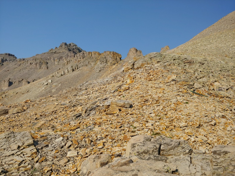
Cirque Mountain (left) and the 13,500' ridge point (right) that the trail bypasses on its north side
Looking down at our ascent route from the Kismet - Cirque saddle
Looking west from the Kismet - Cirque saddle
Climbing the last bit of ridge to the summit of Cirque Mountain
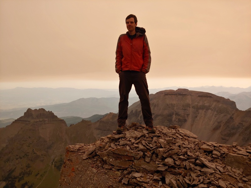
Randy stands triumphantly on the smoky summit of Cirque Mountain
After returning to our car, we drove about one mile down the road before turning onto the side road to Governor Basin. We found a good campsite at about 11,800' and spent the afternoon relaxing.
Thursday, Aug. 20, 2020. Today's goal: T5 (13,436'), a tricentennial peak. We drove to about 12,040', where the road was closed to vehicular traffic.
The cable attached to this crooked post marked the end of the road for vehicles
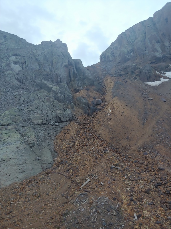
We continued up the road to a gully that allows access to an upper basin west of T5.
The gully we ascended to the upper basin
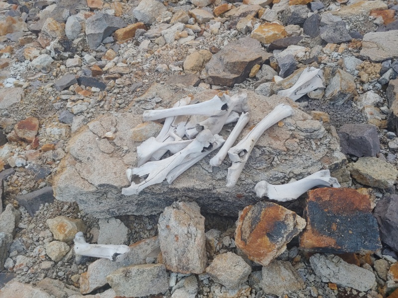
Somebody had a bad day
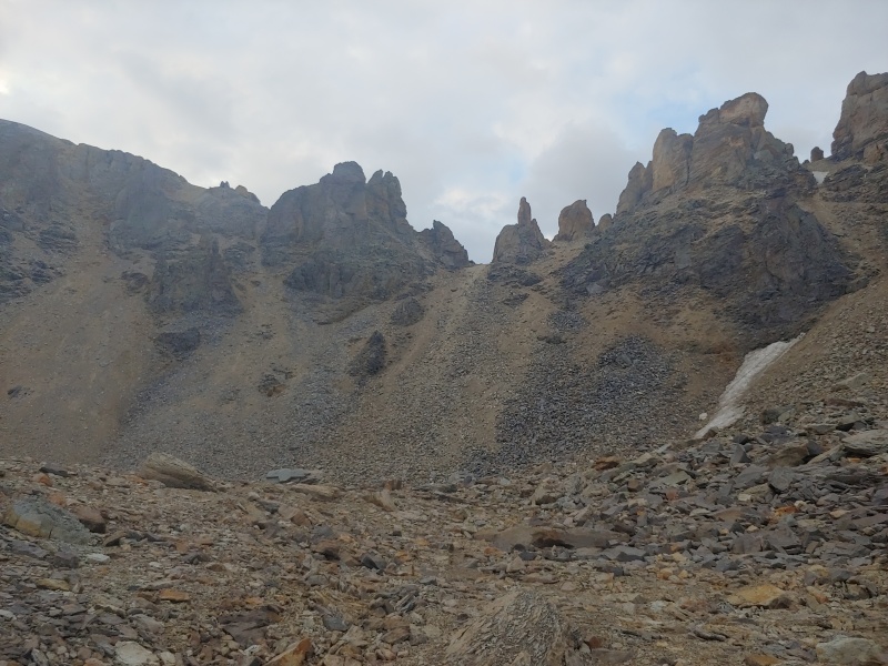
In the upper basin, the obvious low point (center) is the T5 - Mendota Peak saddle. An informal trail leads up the steep scree to the saddle
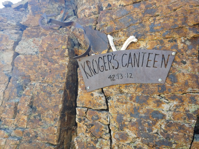
This was near the T5 - Mendota saddle, but we have no idea what it means
Once at the T5 - Mendota saddle, we bypassed the gendarmes on the ridge via obvious paths on the south side of the ridge. We hiked over a 13,337' ridge point and on toward the true summit.
Almost to the summit of T5
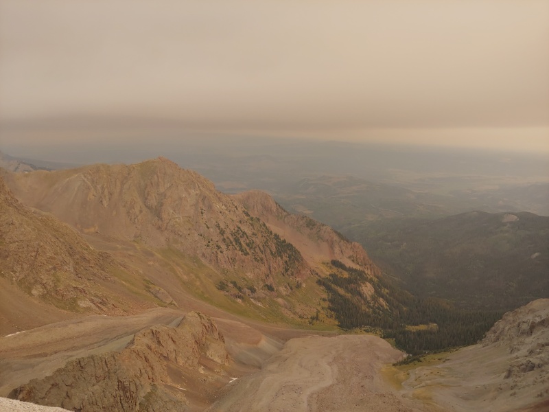
View from the summit of T5
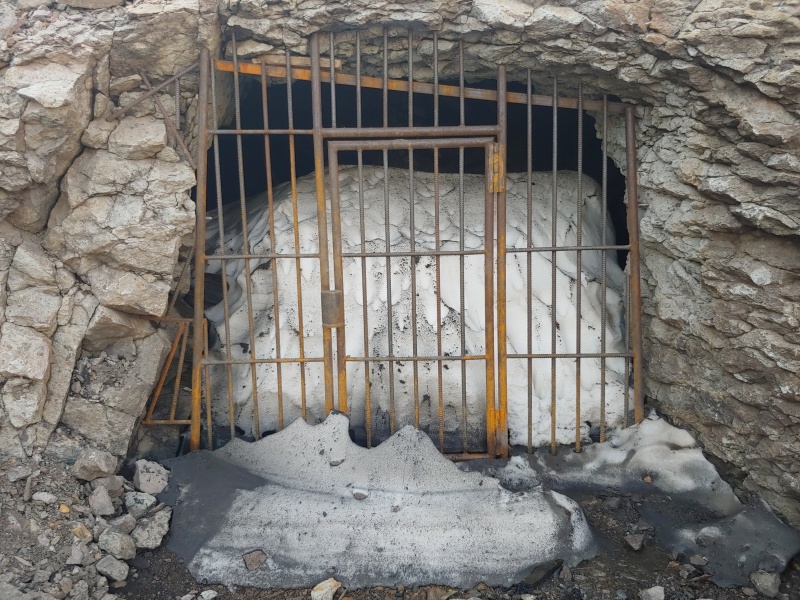
After spending a few minutes on T5's summit, we headed back to our car. Along the way, we stopped to look at a mine entrance that's full of snow.
This may be snow from 2019
It felt good to have had 100% success on the bicentennials so far, but Randy still has a few left to complete. Stay tuned...
Thumbnails for uploaded photos (click to open slideshow):
Great write up and pictures. I've been wanting to tackle these 13ers around YBB after I summited Sneffels. Still relatively new to CO climbing, what are the "bicentennials"?
Dave: Thanks for the encouragement.
MJSherman: I appreciate the info. So is 42:13:12 a time?
Sailgreatlakes: The bicentennials are the 200 highest ranked Colorado Summits.
Caution: The information contained in this report may not be accurate and should not be the only resource used in preparation for your climb. Failure to have the necessary experience, physical conditioning, supplies or equipment can result in injury or death. 14ers.com and the author(s) of this report provide no warranties, either express or implied, that the information provided is accurate or reliable. By using the information provided, you agree to indemnify and hold harmless 14ers.com and the report author(s) with respect to any claims and demands against them, including any attorney fees and expenses. Please read the 14ers.com Safety and Disclaimer pages for more information.
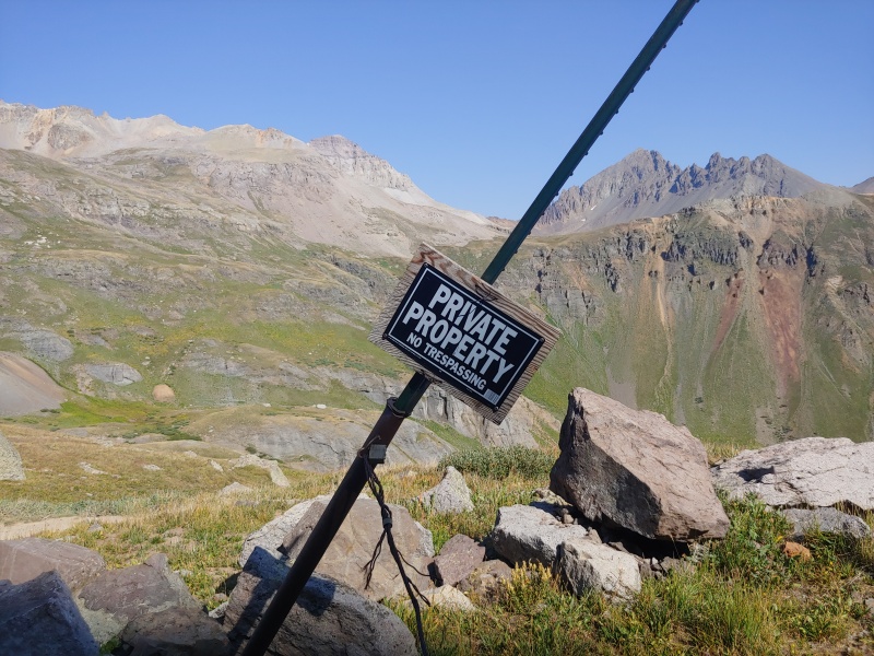
Please respect private property: 14ers.com supports the rights of private landowners to determine how and by whom their land will be used. In Colorado, it is your responsibility to determine if land is private and to obtain the appropriate permission before entering the property.


")
")
")
")
")
")
")
")
")
")
")
")
")
")
")
")
")
")
")
")
")
")
")
")
")
")
")
")
")
")
")
")
")
")
")
")
")
")
")
")
")


