| Report Type | Full |
| Peak(s) |
Handies Peak - 14,058 feet Unnamed 13801 - 13,801 feet Whitecross Mountain - 13,553 feet "Every Mountain" - 13,698 feet "Cooper Creek Peak" - 13,694 feet Wood Mountain - 13,682 feet Unnamed 13702 - 13,702 feet Gravel Mountain - 13,596 feet Seigal Mountain - 13,281 feet "Animas Forks Mountain" - 13,740 feet |
| Date Posted | 09/02/2020 |
| Modified | 06/16/2022 |
| Date Climbed | 08/10/2020 |
| Author | Mtnman200 |
| Additional Members | alexhenes, RandyMack |
| Everything Is Coming Up Roses |
|---|
|
Monday, Aug. 10, 2020. Having finished the Cataract Lake backpacking portion of our trip, we drove to American Basin where our primary goal was Unnamed (UN) 13795. We headed up the Handies Peak trail but didn't stay long once we reached the summit. Instead, we headed east along the ridge toward UN 13795. The ridge to UN 13795 is fairly long (about 1.5 miles) but not difficult, and we were able to follow informal trails much of the way. 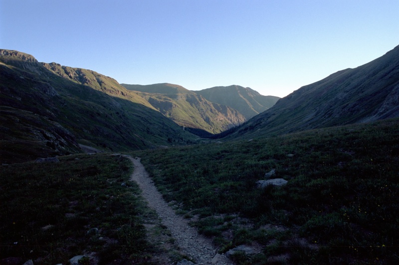

We returned to Handies Peak, where there was no shortage of people with cardboard signs (including one showing the wrong elevation for Handies). Randy and I decided to split up so Randy could descend via Grizzly Gulch and climb Whitecross Mountain (13,542’) along the way. 

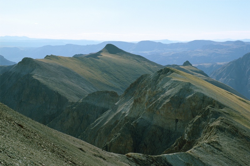
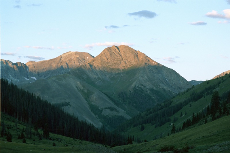
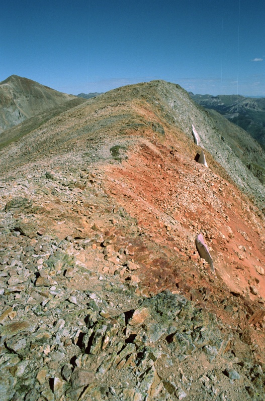
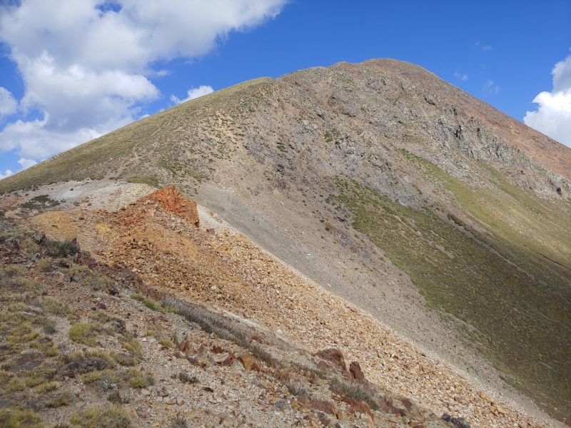
I returned to American Basin, drove to Burrows Park and set up camp in one of the few available campsites, and then waited in the old cabin for Randy. Meanwhile, Randy left the Grizzly Gulch trail and headed ENE up the ridge to the summit of Whitecross Mountain. He descended more directly to the Grizzly Gulch trail and moved quickly enough that I only had to wait about 45 minutes in the cabin. Tuesday, Aug. 11, 2000. Today’s goals were “Every Mountain” (13,691’) (a contender for the silliest mountain name ever) and “Cooper Creek Mountain” (13,688’). We drove the short distance (about 0.7 miles) to the Cooper Creek trailhead and followed the trail to a mine prospect at about 12,860’. From here it was easy to head east along the ridge to the summit of “Every Mountain.” 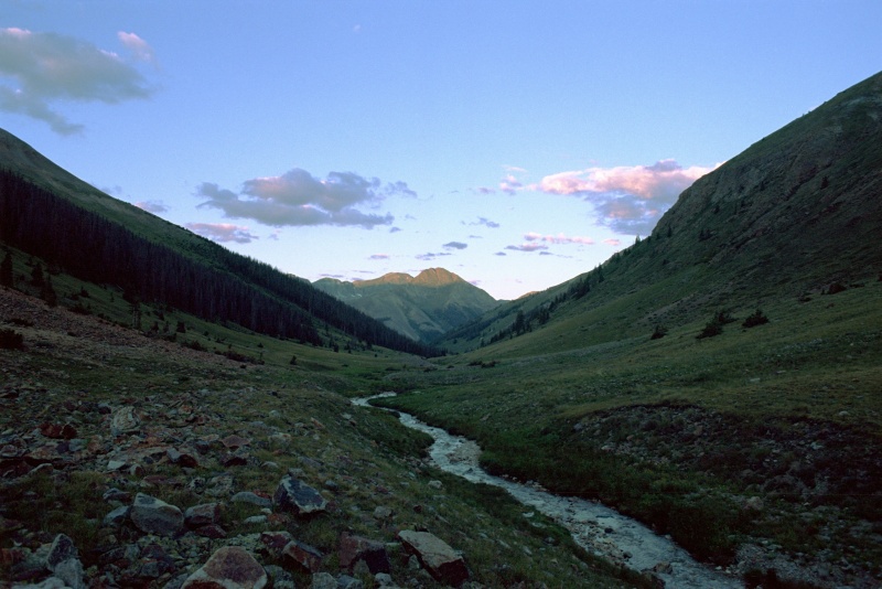
We continued southeast and south along the ridge to the summit of “Cooper Creek Mountain.” After a break on the summit, we descended north along the ridge and then headed west into the basin. After following an unnamed creek down the valley, we rejoined the Cooper Creek trail and returned to the trailhead. 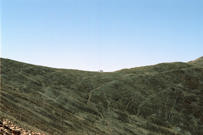
We’d initially planned to stay at our Burrows Park campsite for another night but returned so early that we broke camp and drove to Cinnamon Pass, the starting point for tomorrow’s climbs of Wood Mountain, UN 13688, and “Animas Forks Mountain.” It was quite windy at Cinnamon Pass, and we had to use guylines to anchor our tent to the ground. A guy on an ATV stopped to ask us how cold it would get overnight and seemed amazed that we would camp at such a high elevation. Someone else was camped about ¼ mile west of Cinnamon Pass; we would meet him tomorrow on Wood Mountain. 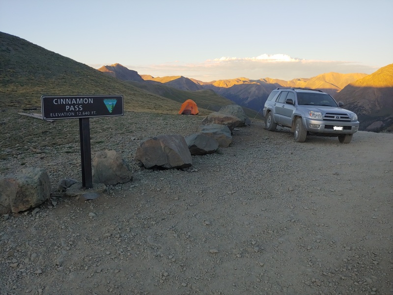
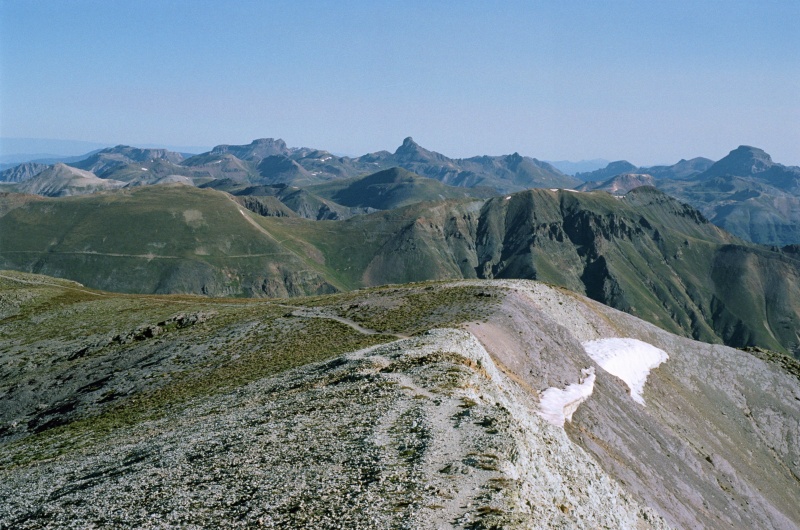
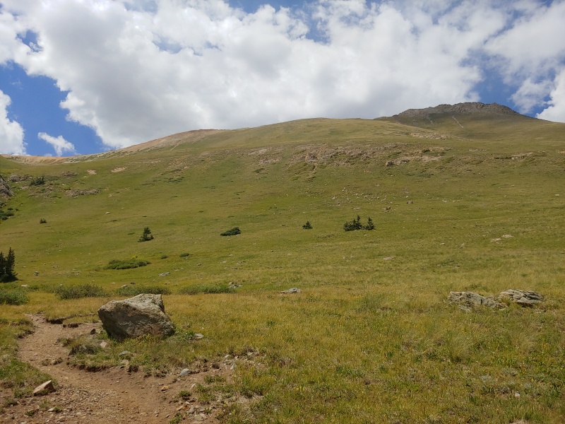
Wednesday, Aug. 12, 2000. We awakened to the sound of high winds and frozen precipitation hitting our tent. After quickly breaking camp, we sat in our car while waiting to see if the weather improved. After about a half hour it did, so we grabbed our packs and started hiking a bit behind schedule. We headed north across the tundra from Cinnamon Pass and eventually climbed onto the southeast ridge of Wood Mountain. Another climber was headed up the ridge, and he was clearly faster than us, so we waited on the summit of Wood Mountain for him. It turned out to be Alex Henes, who intended to climb the same peaks today. Alex and Kristi Henes own Bentgate Mountaineering in Golden, and (shameless plug alert) I encourage my fellow climbers to support local small businesses like theirs. 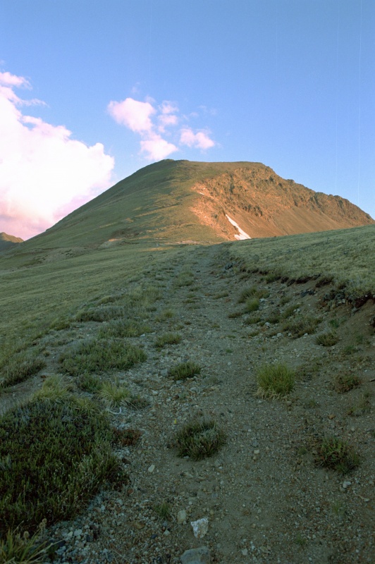
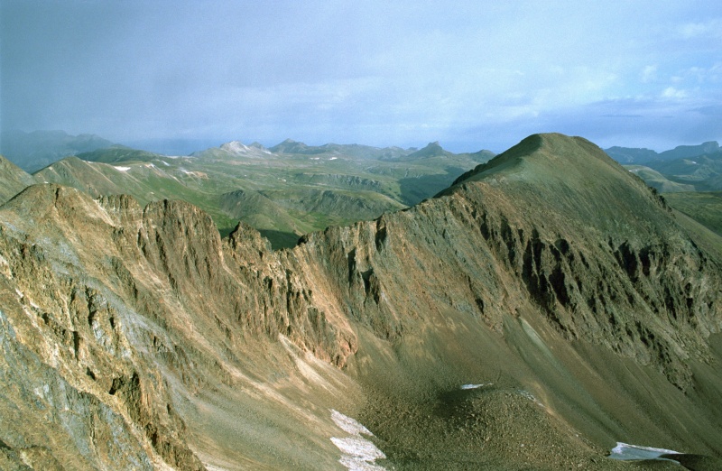
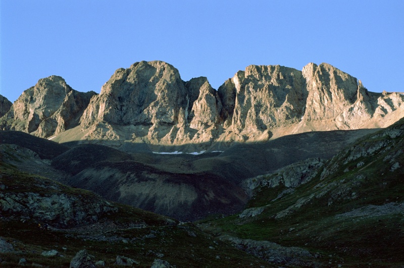
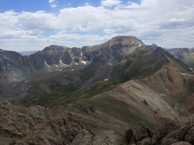
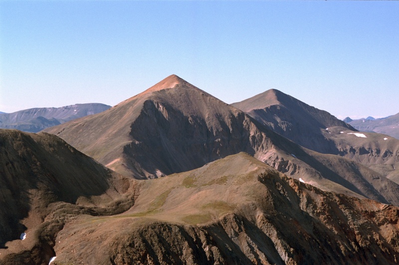
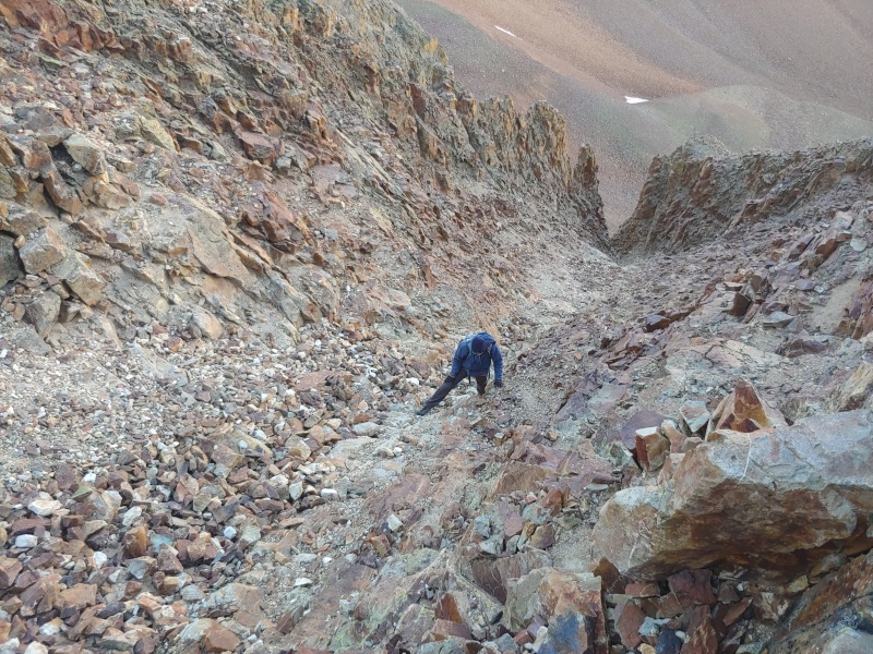
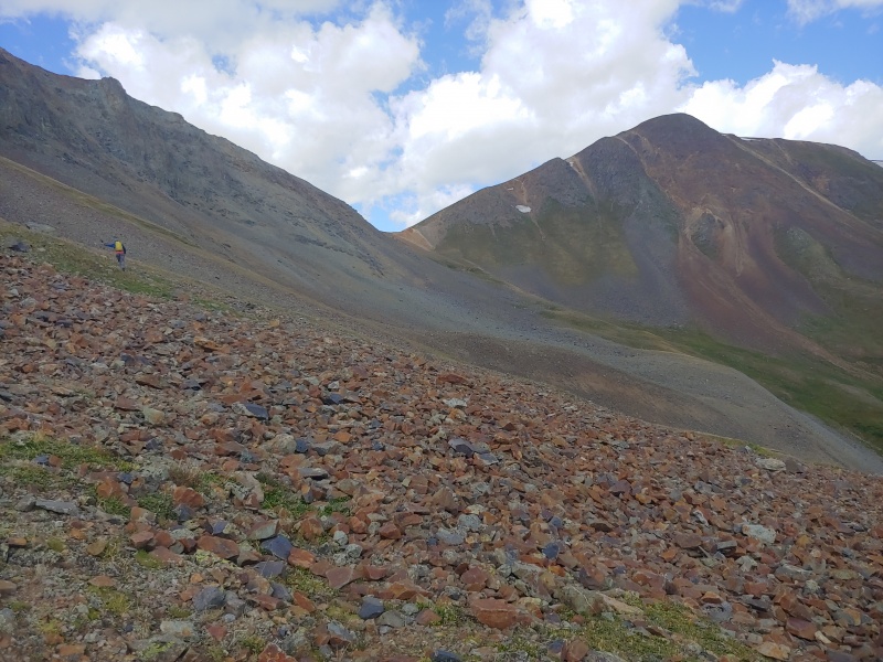
The three of us descended west to a 13,300’ saddle and then down steep loose rock into the upper reaches of Hurricane Basin. We’d heard that the third couloir along the ridge between Wood Mountain and UN 13688 would allow us to reach the ridge a bit south of UN 13688's summit, but none of the couloirs looked particularly appealing. 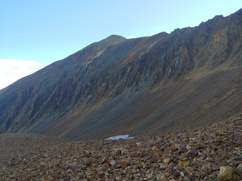
Alex had a GPX track from someone who’d climbed UN 13688 previously, so we headed up the steep couloir suggested by this track. Who knows if it was the third couloir, but it did lead us to the ridge. Once on the ridge, it was an easy walk north to the summit of UN 13688. 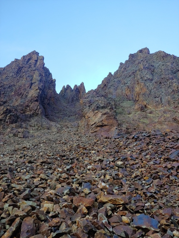
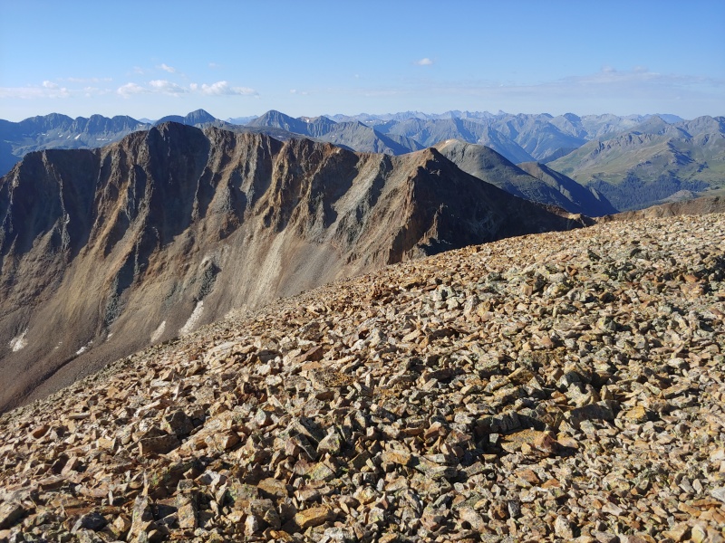
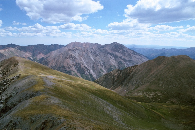
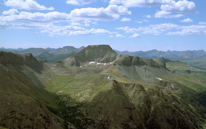
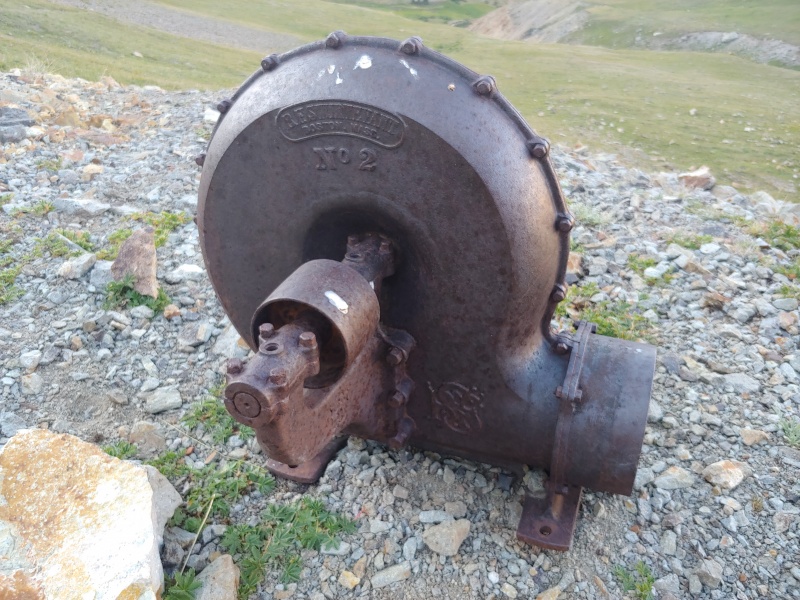
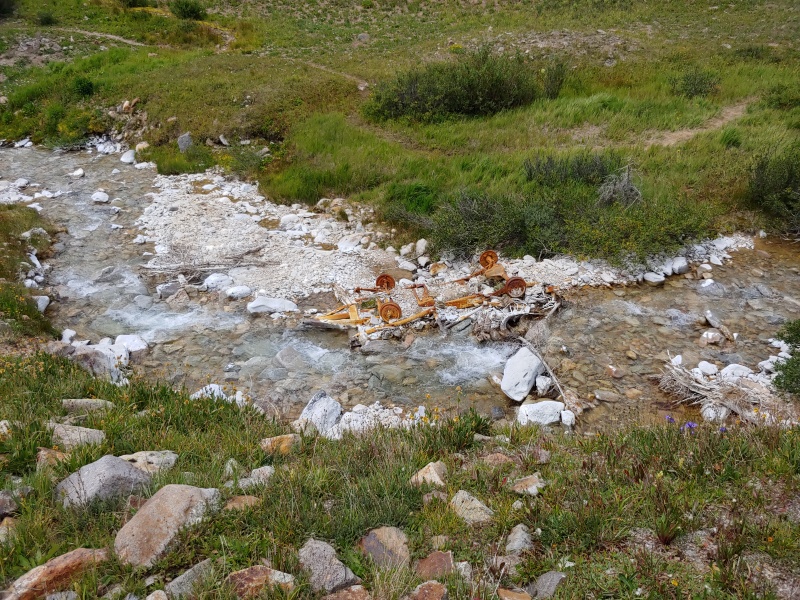
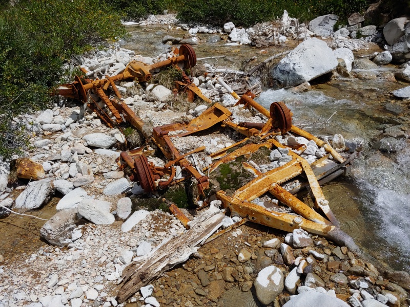
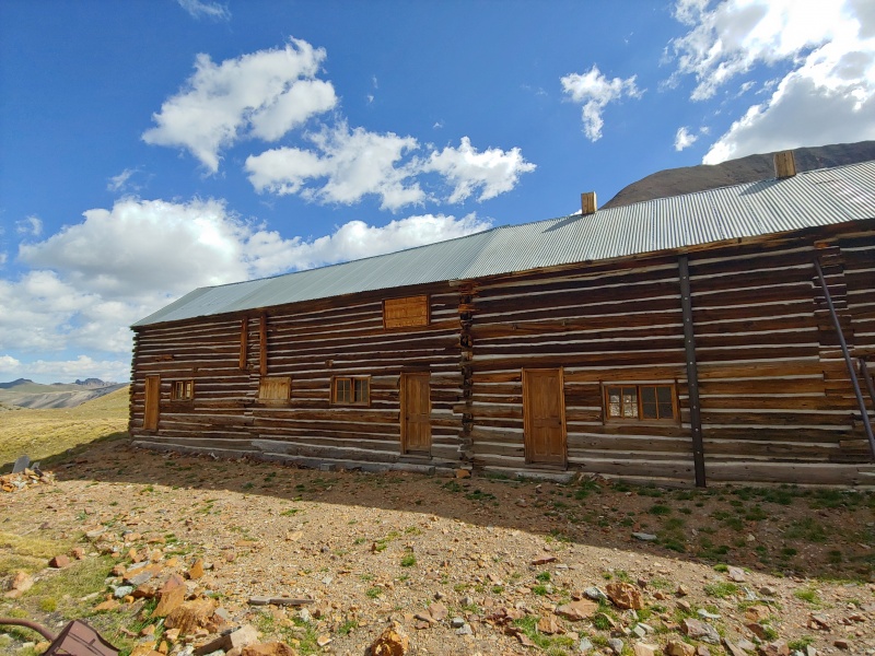
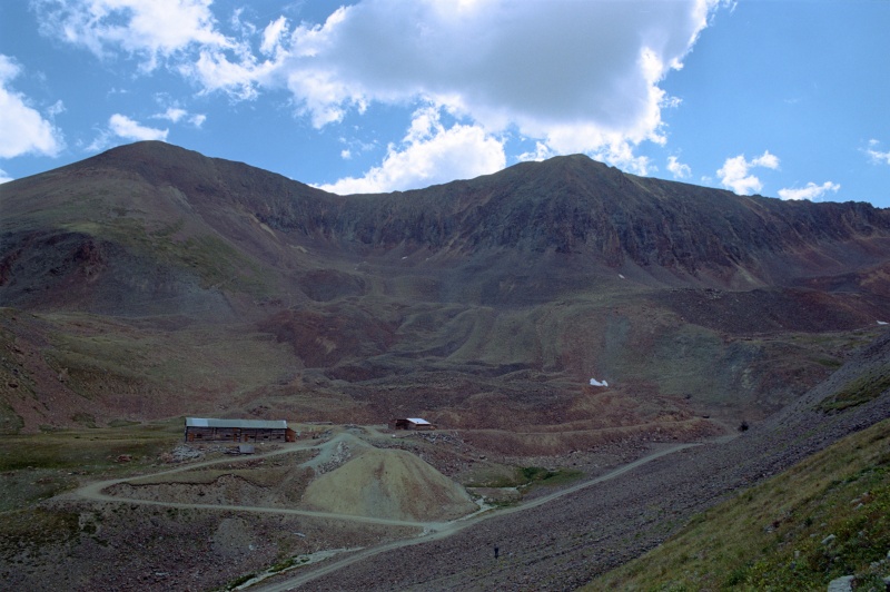
None of us wanted to downclimb the way we’d ascended, especially when we knew that we could continue north about ½ mile to unranked Gravel Mountain (13,577’) for an easy descent into Hurricane Basin. Once in the basin, we looked at the restored historic mine buildings before heading west toward Seigal Mountain (13,274’). Because I’d previously climbed Seigal Mountain, I told Randy and Alex that I would meet them at the saddle between Seigal and a 13,708’ ridge point between Wood Mountain and Seigal. 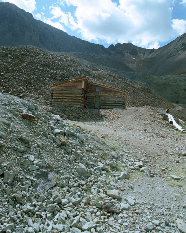

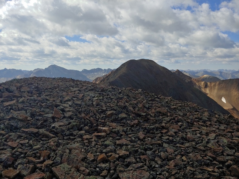
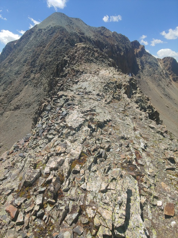
Once the three of us met at the saddle, Alex headed on to “Animas Forks Mountain” (13,722'). Randy and I did as well, just at a slower pace. We contoured west of the 13,708’ ridge point and then climbed south along the narrow ridge to the summit of “Animas Fork Mountain.” After the questionable weather this morning, we were pleased to have good weather the rest of the day. 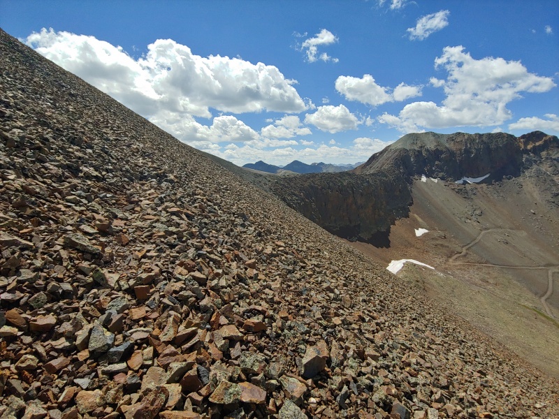
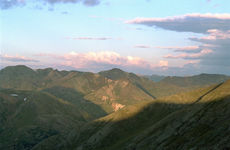
We returned to the saddle between 13,708’ ridge point and “Animas Forks Mountain” and then descended into the basin south of Wood Mountain for an easy walk back to Cinnamon Pass. After driving through Animas Forks to Silverton, we headed to Molas Lake Campground and were happy to get the last available campsite. Thursday, Aug. 13, 2020. After sleeping in late and spending some time hanging out in Silverton, we drove 22 miles south of Silverton and then 15.3 miles past Purgatory ski area to the end of Forest Road 579, where we set up camp and cooked dinner. Tomorrow's goal: Grizzly Peak B (13,738') Thumbnails for uploaded photos (click to open slideshow): ")
")
")
")
")
")
")
")
")
")
")
")
")
")
")
")
")
")
")
")
")
")
")
")
")
")
")
")
")
")
")
")
")
")
")
")
")
")
")
")
")
")
")
")
")
")
|
| Comments or Questions | |||||||||
|---|---|---|---|---|---|---|---|---|---|
|
Caution: The information contained in this report may not be accurate and should not be the only resource used in preparation for your climb. Failure to have the necessary experience, physical conditioning, supplies or equipment can result in injury or death. 14ers.com and the author(s) of this report provide no warranties, either express or implied, that the information provided is accurate or reliable. By using the information provided, you agree to indemnify and hold harmless 14ers.com and the report author(s) with respect to any claims and demands against them, including any attorney fees and expenses. Please read the 14ers.com Safety and Disclaimer pages for more information.
Please respect private property: 14ers.com supports the rights of private landowners to determine how and by whom their land will be used. In Colorado, it is your responsibility to determine if land is private and to obtain the appropriate permission before entering the property.


