Download Agreement, Release, and Acknowledgement of Risk:
You (the person requesting this file download) fully understand mountain climbing ("Activity") involves risks and dangers of serious bodily injury, including permanent disability, paralysis, and death ("Risks") and you fully accept and assume all such risks and all responsibility for losses, costs, and damages you incur as a result of your participation in this Activity.
You acknowledge that information in the file you have chosen to download may not be accurate and may contain errors. You agree to assume all risks when using this information and agree to release and discharge 14ers.com, 14ers Inc. and the author(s) of such information (collectively, the "Released Parties").
You hereby discharge the Released Parties from all damages, actions, claims and liabilities of any nature, specifically including, but not limited to, damages, actions, claims and liabilities arising from or related to the negligence of the Released Parties. You further agree to indemnify, hold harmless and defend 14ers.com, 14ers Inc. and each of the other Released Parties from and against any loss, damage, liability and expense, including costs and attorney fees, incurred by 14ers.com, 14ers Inc. or any of the other Released Parties as a result of you using information provided on the 14ers.com or 14ers Inc. websites.
You have read this agreement, fully understand its terms and intend it to be a complete and unconditional release of all liability to the greatest extent allowed by law and agree that if any portion of this agreement is held to be invalid the balance, notwithstanding, shall continue in full force and effect.
By clicking "OK" you agree to these terms. If you DO NOT agree, click "Cancel"...
Trailhead: Fourmile Creek at the Winter closure Route: East Ridge Length: 8 miles Vertical: 2800 feet Partners: Solo
I just HAD to get me some elevation. After doing short low altitude hikes like Spruce Mountain that I documented here, I did Pennsylvania Mountain a week ago because it seemed like the easiest 13er around that wasn't in either Summit or Clear Creek counties. That went well so I decided to try something slightly harder and the east face route up Sheridan sounded like it fit the bill. It also offered the chance to catch Sherman and/or Peerless-Horseshoe if conditions were good and I was feeling up to it. I ended up only doing Sheridan as the snow was starting to get pretty soft as the day went on and I didn't exactly get an early start on the day.
(some pictures were taken on the descent but are merged into place)
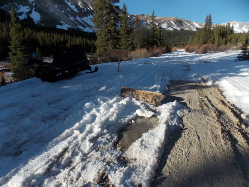
It was pretty obvious that one shouldn't attempt to drive past the winter closure. Seems like every time I've been up this road in the Spring, some yo-yo has tried to get past this and gotten stuck. Not this time.
Two signs that say "Park Here"
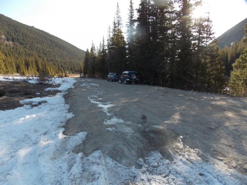
My FJ and a couple other vehicles were the only ones there.
I found the road well packed by snow machines and I wore spikes as my snowshoe boots have little tread. It was an easy hike to the gate.
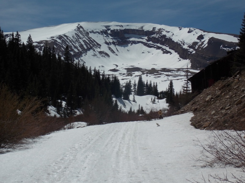
Horseshoe always grabs your attention on the way in.
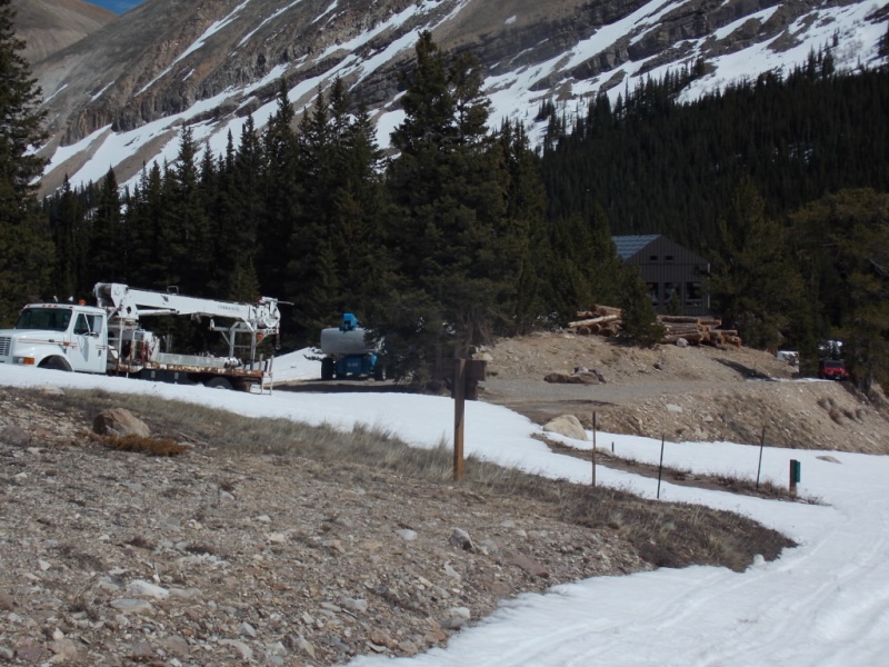
Then came the big surprise of the day - someone is building a home on the Leavick site almost on top of the Mill At least I assume it's a home...
An almost industrial feel to the building
Looking back at the construction
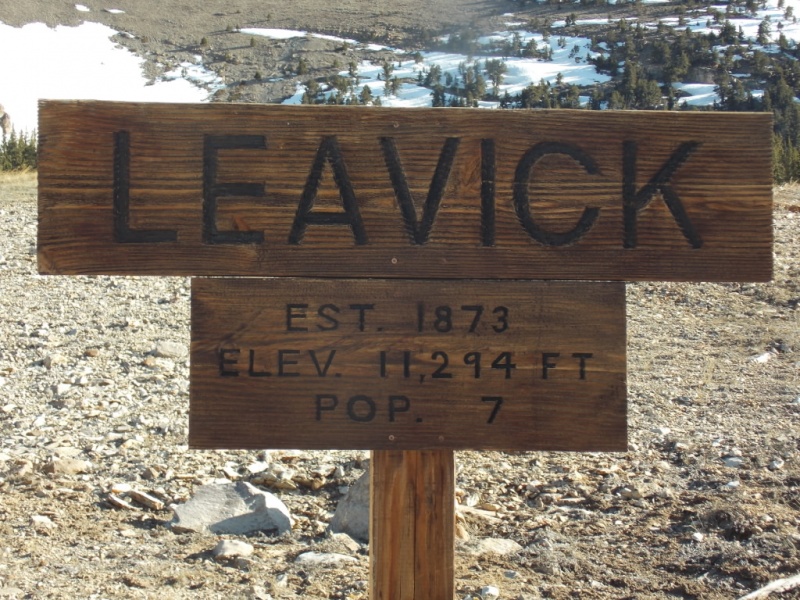
This is a new sign so I guess it's a family of 7 building the home?
From there to the gate, the hike was uneventful and the views were nice on a bluebird day.
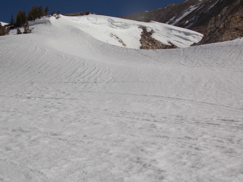
Nice snow cornice near the winter route cuttoff
Dauntless Mine
I decided at this point, I would gain the ridge via the dry rocks as the snow here was of the bullet-proof variety and my spikes weren't getting very good traction on anything with an incline.
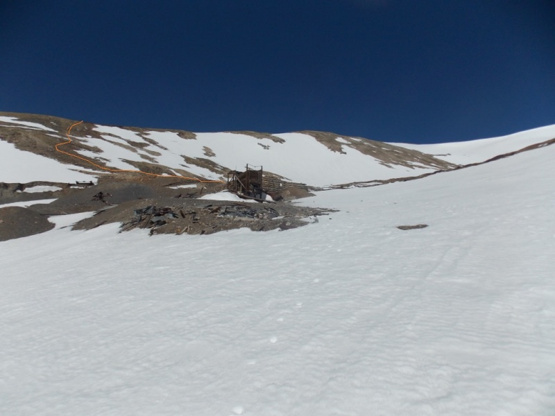
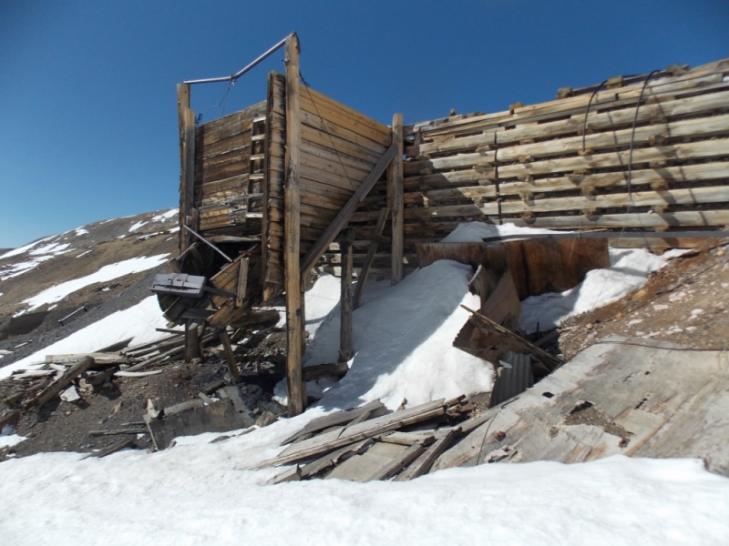
My route starts behind the structure (pictured above and below) and follows the orange line to the ridge
The loading chute structure (at least that's what I think it is)
The route up to the ridge was pretty easy
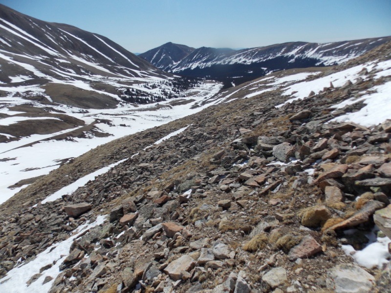
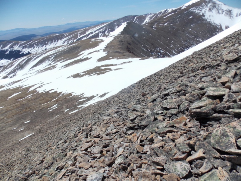
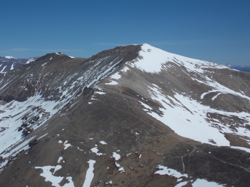
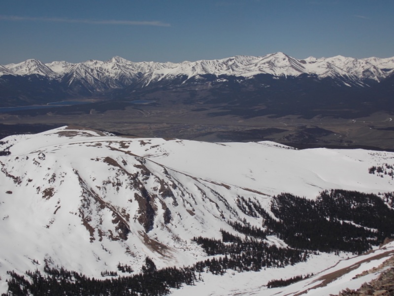
Looking back down from near the top of the ridge
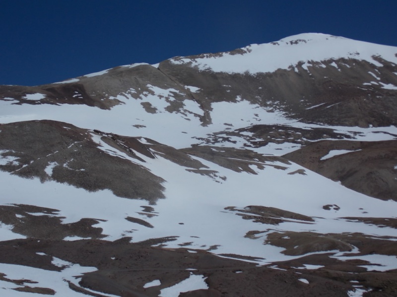
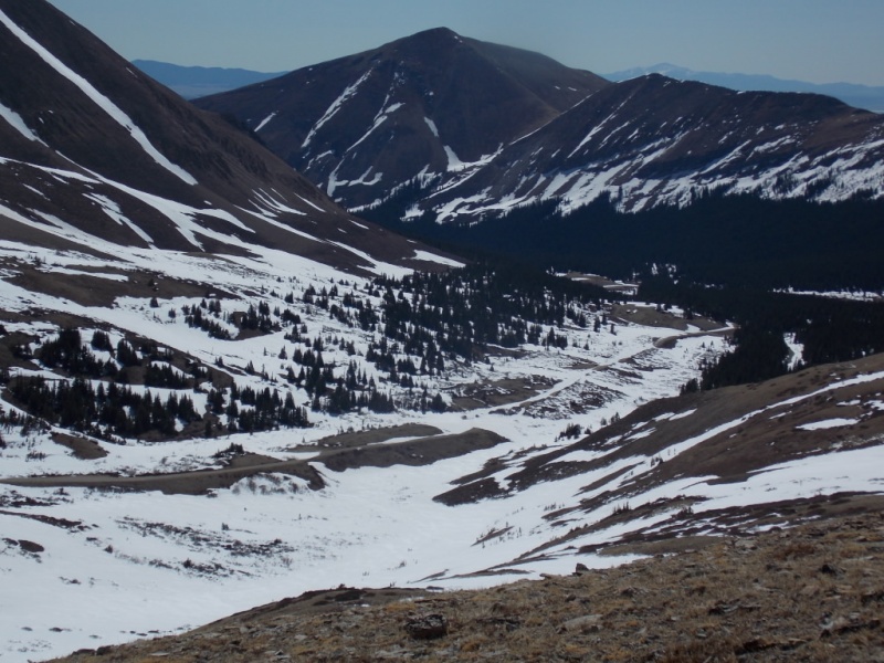
And a nice view of Sherman on the way
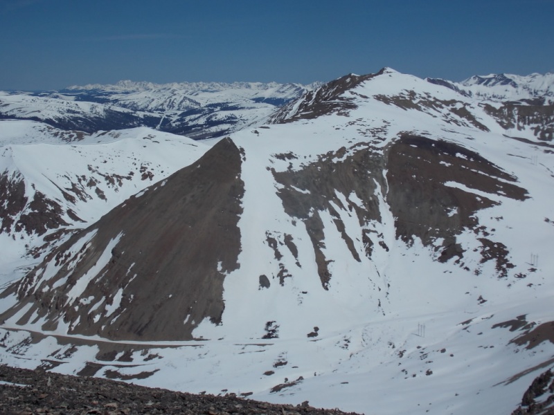
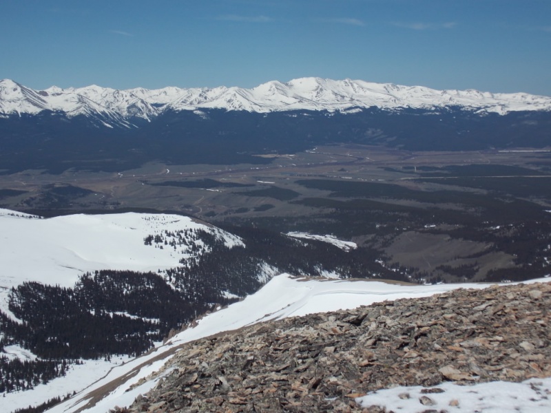
Another look back down the valley. Sheep Mtn certainly is prominent...
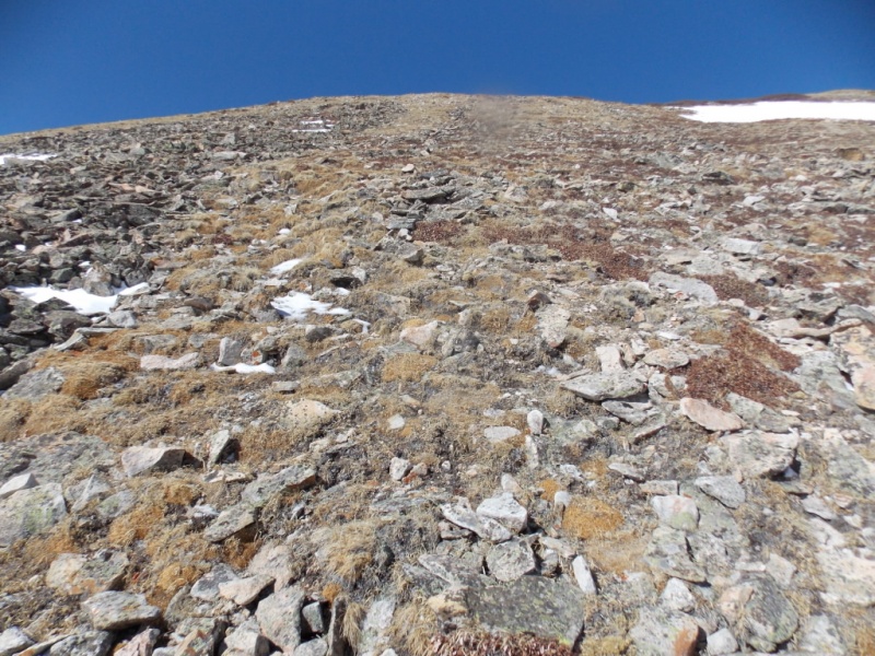
My route would zig-zag up the rocks.
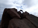
There is a bit of a climber's trial in the rocks but every other time I've gone up this way, I couldn't seem to find it until I was almost half way up. No different this time. The rocks are relatively stable - certainly nothing as bad as Garfield (that I wrote about here)
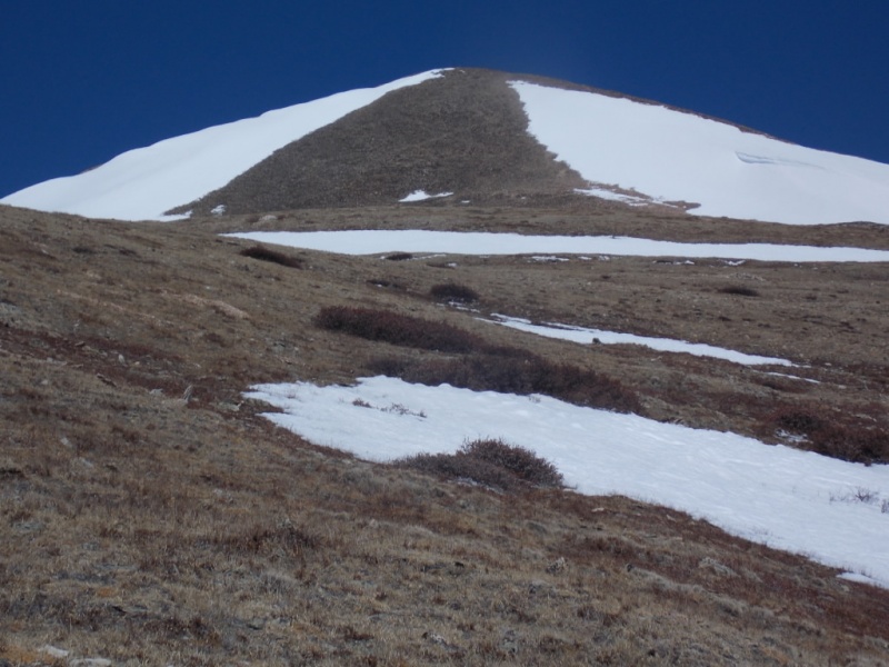
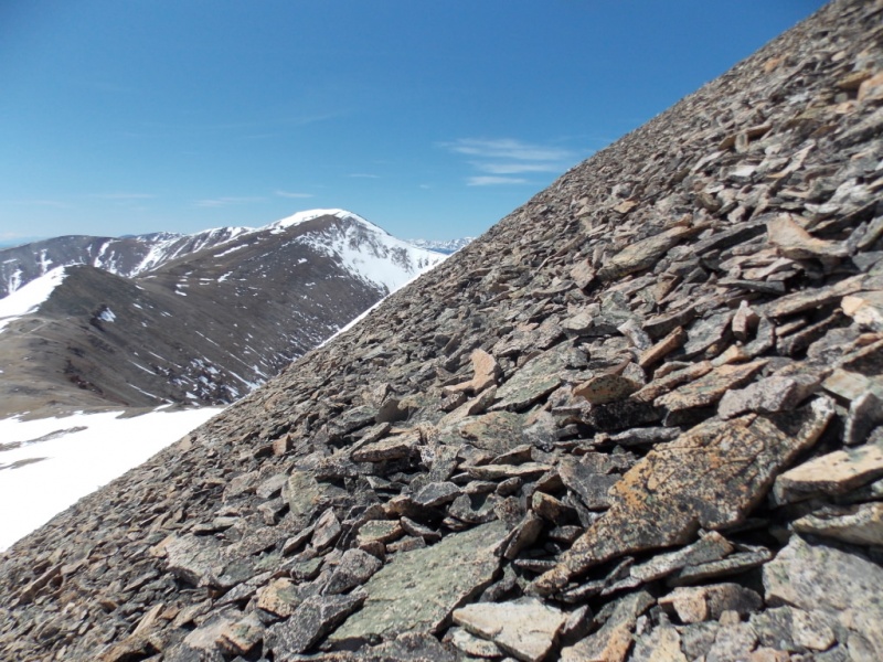
The route is fairly steep as seen here
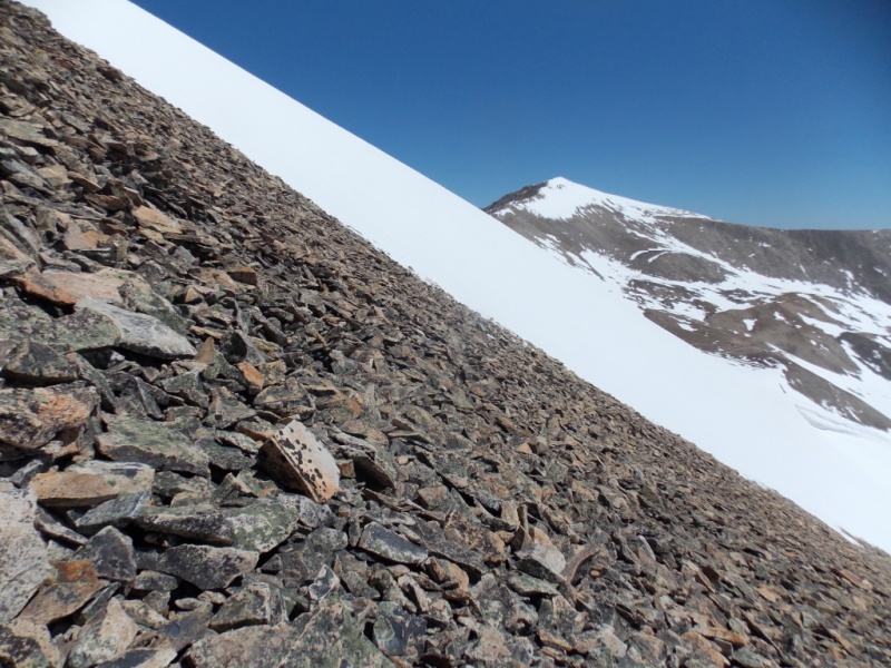
Looking left
Looking right
And looking back left
As with virtually every mountain in Colorado on a nice day, the summit views were awesome
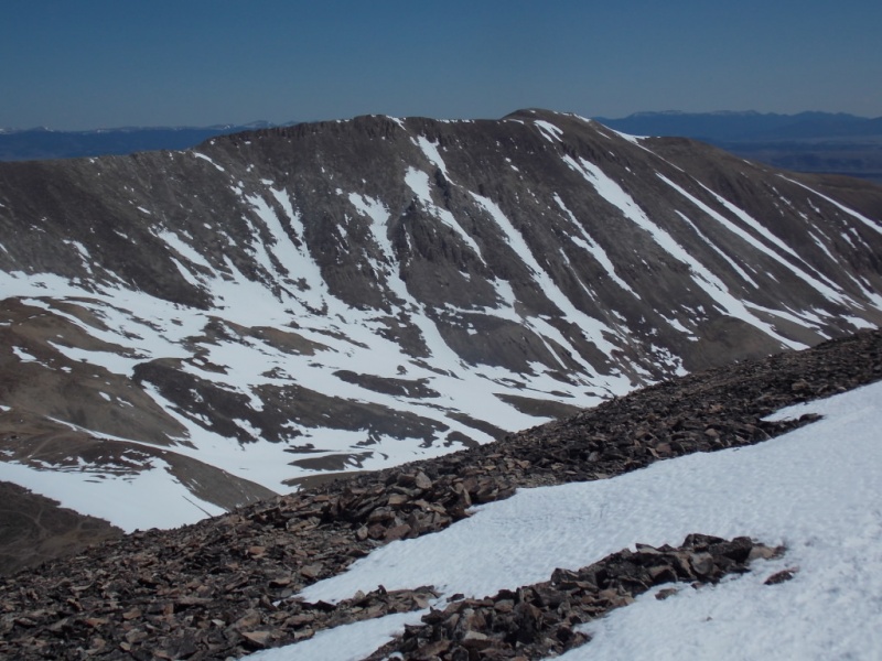
Sherman
Dyer
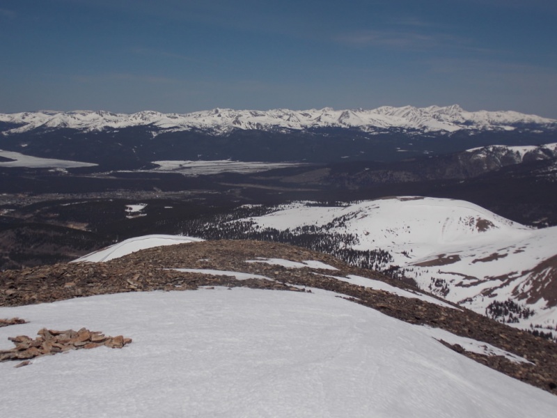
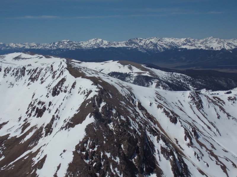
Northern Sawatch
Massive
Elbert, La Plata
Southern Sawatch
Peerless (low on the left) and Horseshoe looking at the north side.
White Ridge
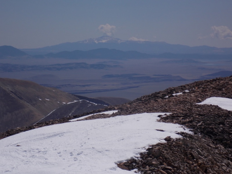
Zoom on Pikes Peak (with a cloud that makes it appear to be erupting.)
It was never clear to me which end of the summit area was the true summit so I shot a short vid from each one. It was a tad windy on the summit as you will hear in the vids.
From the west end
From the east end
The trip down was uneventful although I was glad I had lugged snowshoes along as they were very helpful on the way down.
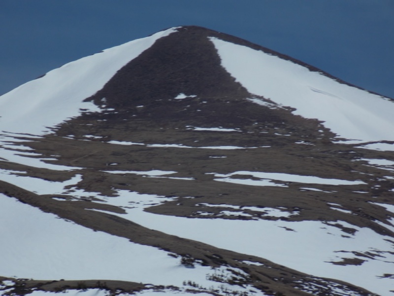
One last look back at Sheridan.
Thanks for taking the time to read this and please be careful out there!
Thumbnails for uploaded photos (click to open slideshow):
It was indeed a lovely day out there... you have a pic of Twin Lakes and you can see me there ... he he... as I was hiking there on the CT and up Willis Gulch!.
@MtnGt - Yeah! I think I did see you! OK, so maybe my eyes aren't really that good... Thanks for the compliment.
@Trotter - Boy, you are spot on with that comment. There were solar panels on the roof (that didn't show up in pics), plus the front door looked more or less residential. Strange house for sure.
...is actually a lair for an international villain! :-) I passed that house twice this winter (actually 4 times, up & down) and daydreamed that building a house on top of an old mineshaft was the perfect setting for a B-quality Hollywood thriller. You know, innocuous vacation house on top, but what evil lurks beneath [insert diabolical laughter here]! Guess I was bored trudging up and down that road!
I really like that area in the winter. Not super hard, but easy access and the mines add a historical flavor. Thanks for posting, Jay!
@Tom - I like the way you think! Perhaps the next James Bond movie will include that house? It had been a couple years (at least) since I'd been up that road and I'm pretty sure I would have noticed it then if it were there... Or maybe not? (the invisibility cloak?)
#Dw13 - You are absolutely right! I will change that now. Thanks for catching that. Also, I do seem to remember the Leavick site being up for sale some time back for next to nothing but I would have guessed the access, lack of water, needing to bring power, etc., would have stopped anyone from building there. Except as Tom pointed out - the random international villain...
Someone already beat me to the Pikes Peak volcano confirmed joke. I'll follow it up by saying that Pikes is a conspiracy, Horseshoe is the real volcano and it erupted sideways, Mount Saint Helens-style!!!!!1481##1!11!$!11! Nice report, Jay!
Caution: The information contained in this report may not be accurate and should not be the only resource used in preparation for your climb. Failure to have the necessary experience, physical conditioning, supplies or equipment can result in injury or death. 14ers.com and the author(s) of this report provide no warranties, either express or implied, that the information provided is accurate or reliable. By using the information provided, you agree to indemnify and hold harmless 14ers.com and the report author(s) with respect to any claims and demands against them, including any attorney fees and expenses. Please read the 14ers.com Safety and Disclaimer pages for more information.
Please respect private property: 14ers.com supports the rights of private landowners to determine how and by whom their land will be used. In Colorado, it is your responsibility to determine if land is private and to obtain the appropriate permission before entering the property.


")
")
")
")
")
")
")
")
")
")
")
")
")
")
")
")
")
")
")
")
")
")
")
")
")
")
")
")
")
")
")
")