Download Agreement, Release, and Acknowledgement of Risk:
You (the person requesting this file download) fully understand mountain climbing ("Activity") involves risks and dangers of serious bodily injury, including permanent disability, paralysis, and death ("Risks") and you fully accept and assume all such risks and all responsibility for losses, costs, and damages you incur as a result of your participation in this Activity.
You acknowledge that information in the file you have chosen to download may not be accurate and may contain errors. You agree to assume all risks when using this information and agree to release and discharge 14ers.com, 14ers Inc. and the author(s) of such information (collectively, the "Released Parties").
You hereby discharge the Released Parties from all damages, actions, claims and liabilities of any nature, specifically including, but not limited to, damages, actions, claims and liabilities arising from or related to the negligence of the Released Parties. You further agree to indemnify, hold harmless and defend 14ers.com, 14ers Inc. and each of the other Released Parties from and against any loss, damage, liability and expense, including costs and attorney fees, incurred by 14ers.com, 14ers Inc. or any of the other Released Parties as a result of you using information provided on the 14ers.com or 14ers Inc. websites.
You have read this agreement, fully understand its terms and intend it to be a complete and unconditional release of all liability to the greatest extent allowed by law and agree that if any portion of this agreement is held to be invalid the balance, notwithstanding, shall continue in full force and effect.
By clicking "OK" you agree to these terms. If you DO NOT agree, click "Cancel"...
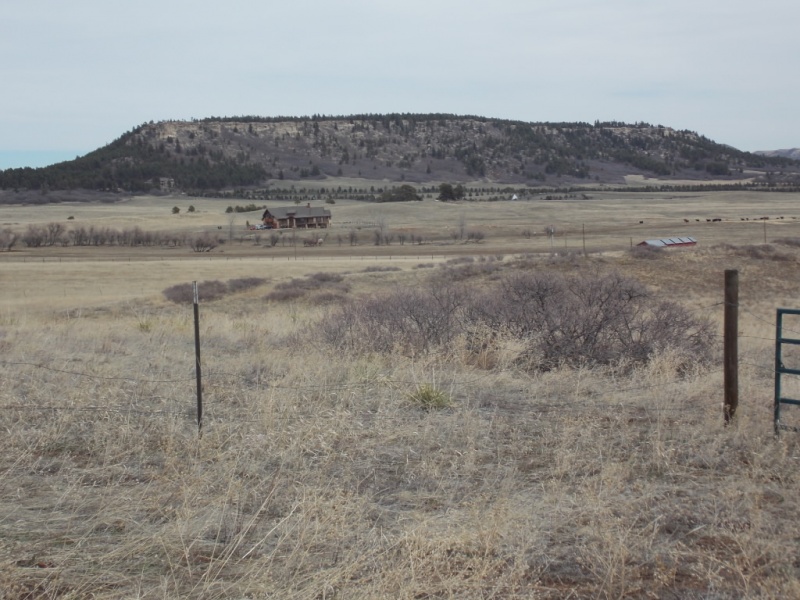
Trailhead: 13415 Spruce Mountain Road, Larkspur, CO Route: Spruce Mountain trail up, then service road to Eagle Pass Trail down Length: 6.0 miles Vertical: 600 feet Partners: My good friend Mike N.
Having attempted (and failed) Horn Peak a couple weeks back, I really needed to get out but what with the "stay local" mandate, I decided to visit a favorite Douglas County Open Space. I have hiked most all of the DougCo Open spaces and Spruce Mountain remains one of my favorites. Trouble is, a lot of folks feel the same way. I wasn't surprised at the number of vehicles at the TH but was pleasantly surprised at how few people we ran into on our hike and how everyone was following the social distancing guidelines. And while this certainly wasn't a tough day, it was nice to get out.
For reference/maps/etc. on Spruce Mountain, see this link -DougCo Spruce Mtn
The drive from Parker to the TH is easy. Any phone ap or mapping ap will get you there.
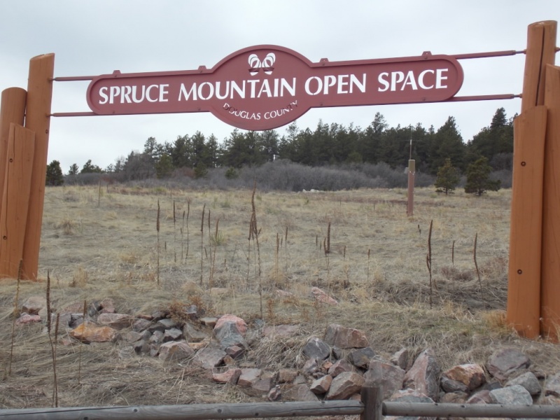
Entrance sign
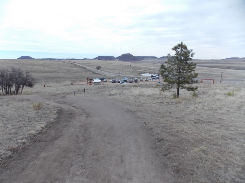
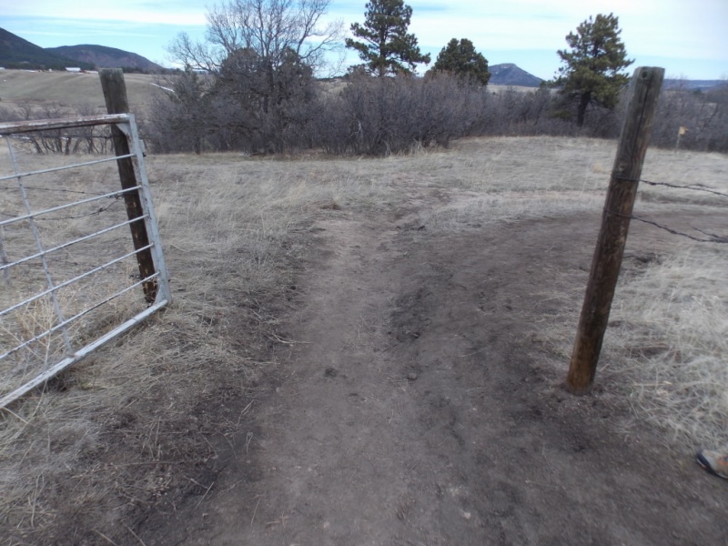
We chose to make a loop hike and go up the Spruce Mountain trail and then take the service road at the west end of the mountain down to the Eagle Pass trail back to the TH
Looking back at a half full parking lot.Is this a trail or a road?
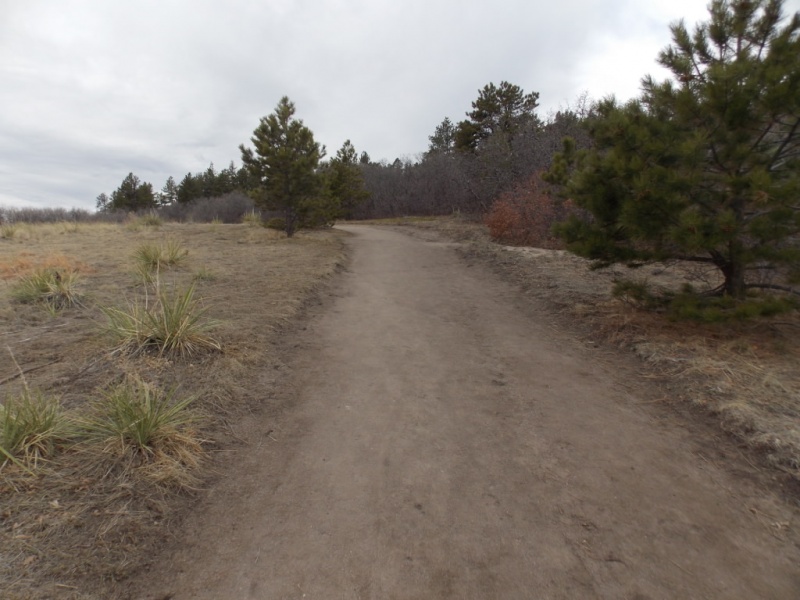
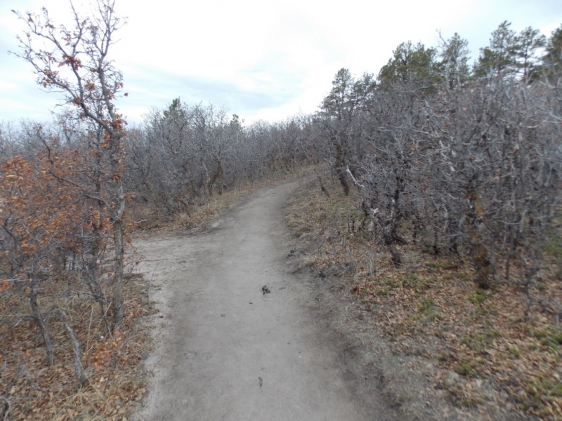
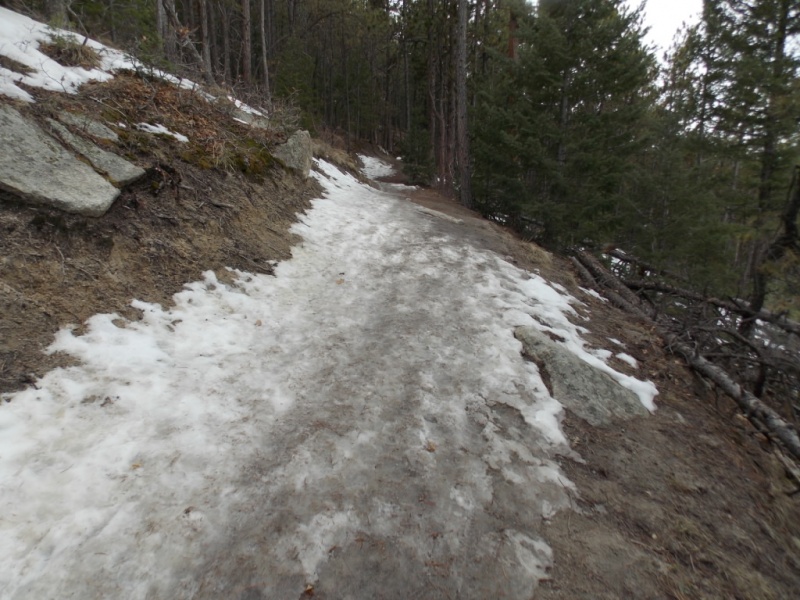
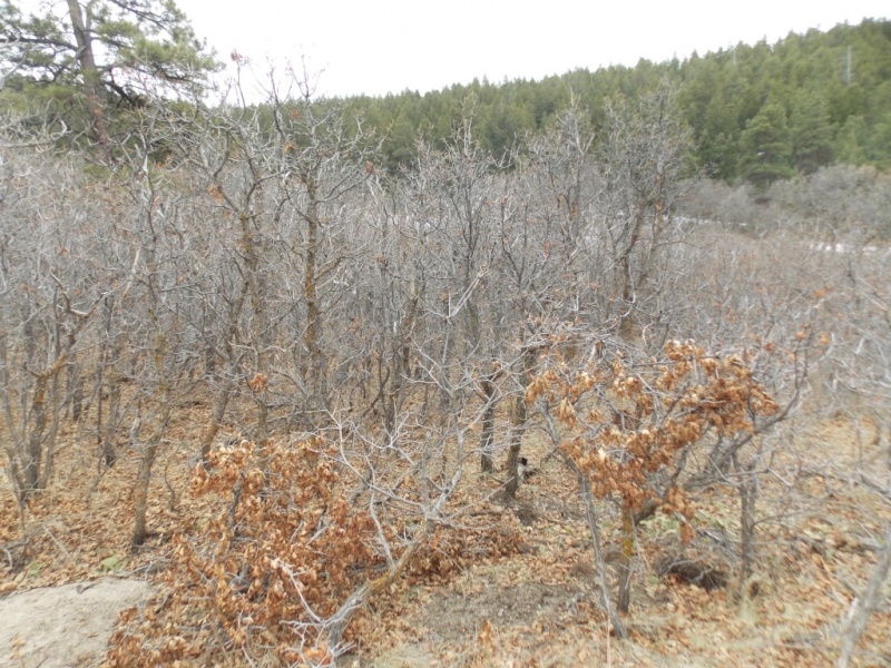
This is an easy hike through gamble oak, ponderosa pine and grass fields. There are also many interesting rock formations and a lot of views.
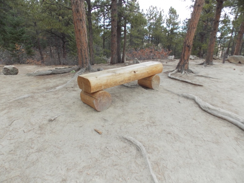
Some of the smaller gamble oak - this is a pretty hike in the fall.Entering the pine forest and the trail stays good.Frequent benches should you need to rest during your 600' climb...
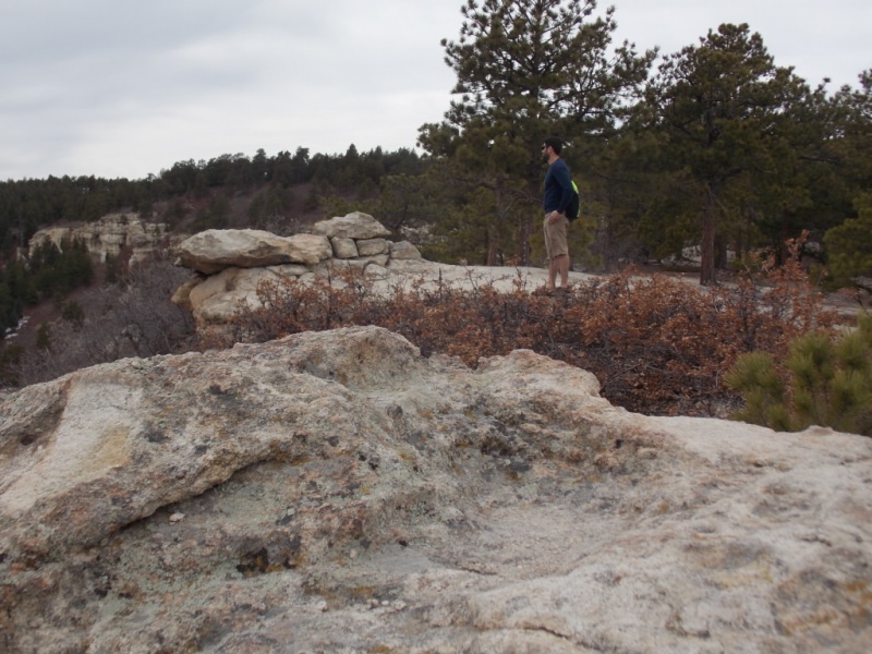
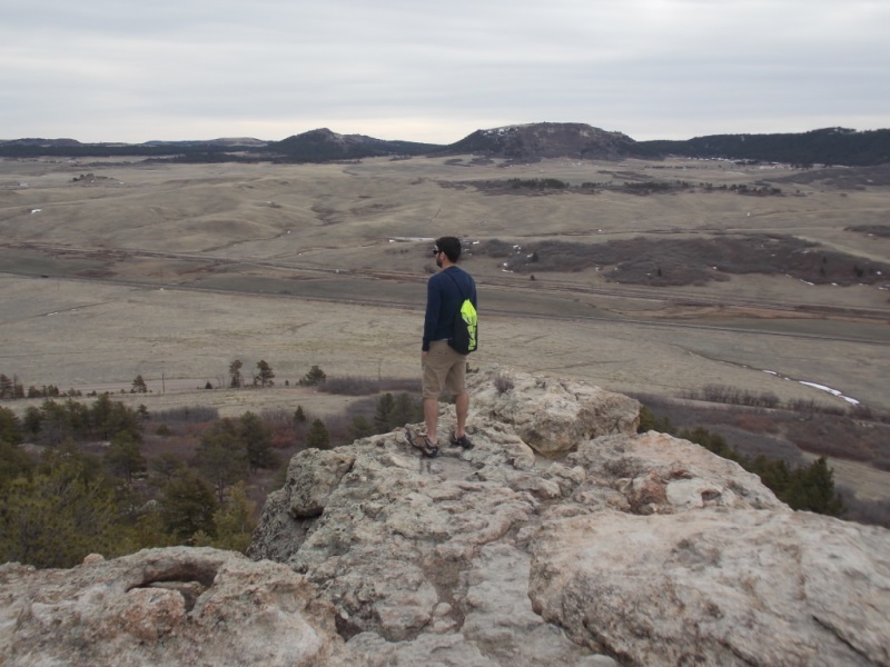
Views - lots of views
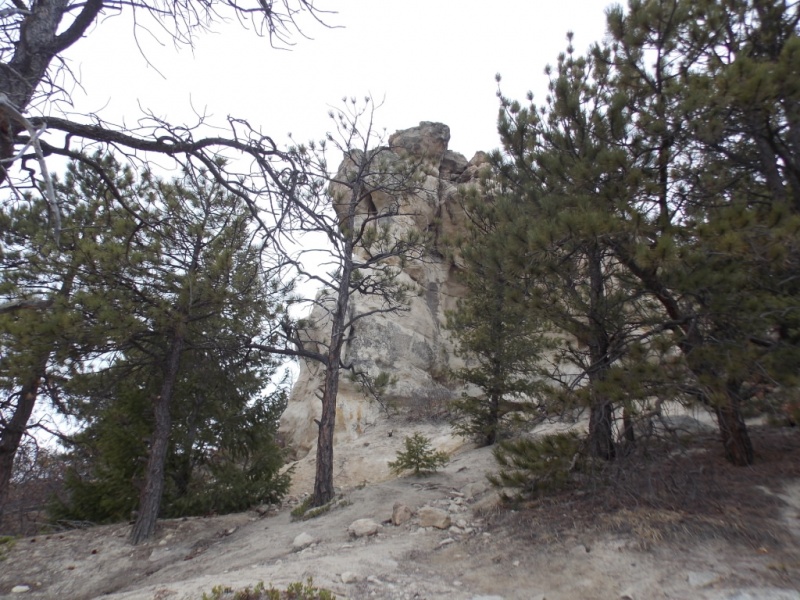
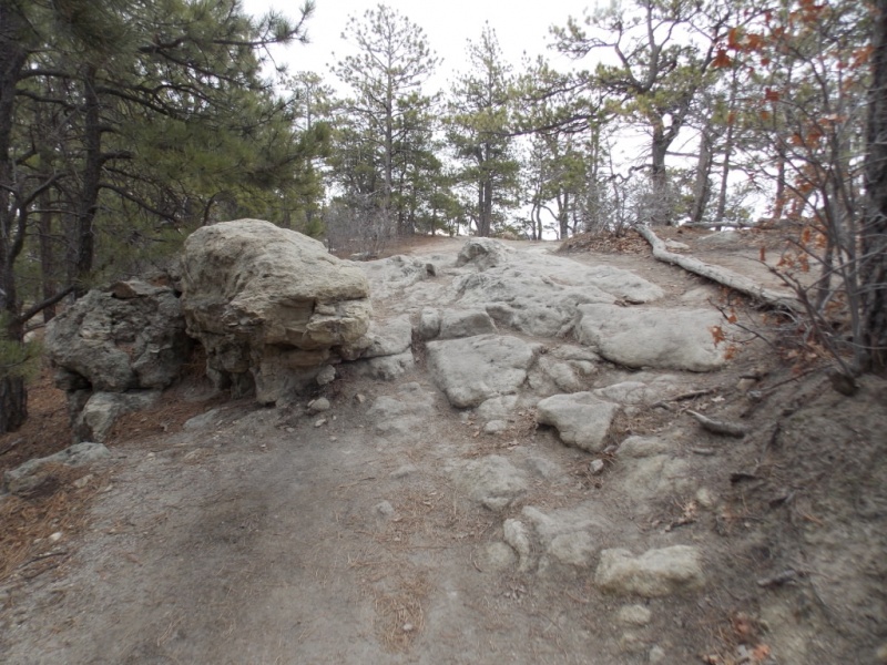
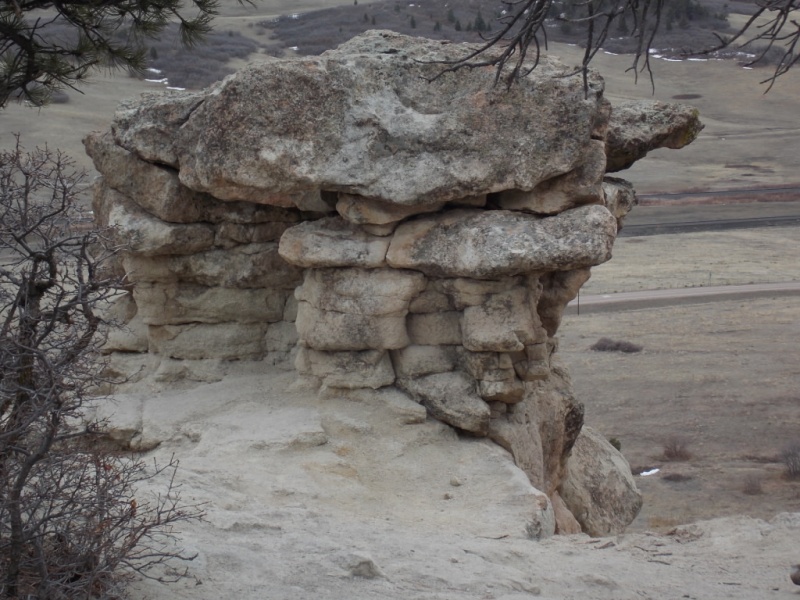
And rock formations...
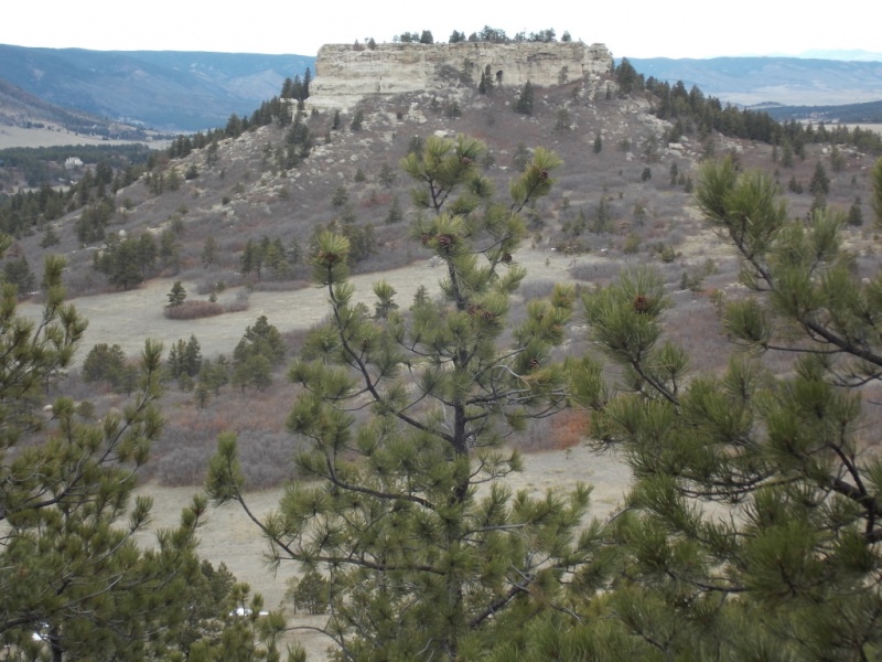
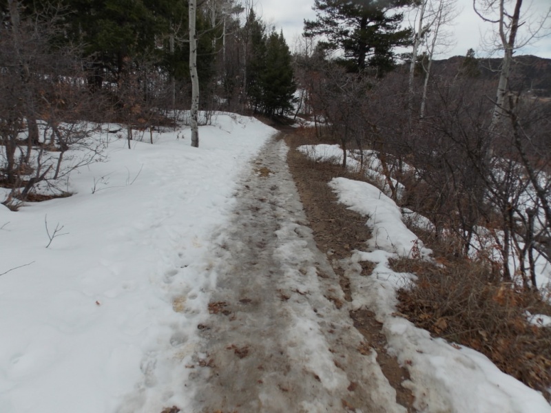
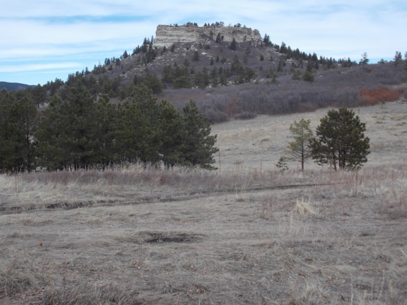
And rocks...Some ice on the trail.But mostly rocks...Lotsa rocks...Views and rocks...Weird rocksView across to Eagle Mountain (private property)
Views from the summit
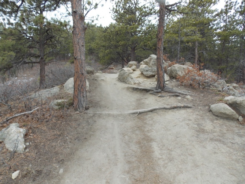
After doing the summit loop, we headed down the service toad to catch the Eagle Pass trail.
Service roadNearing the end of the service roadStart of the Eagle Pass trail
The Eagle Pass trail heads back east to the trailhead.
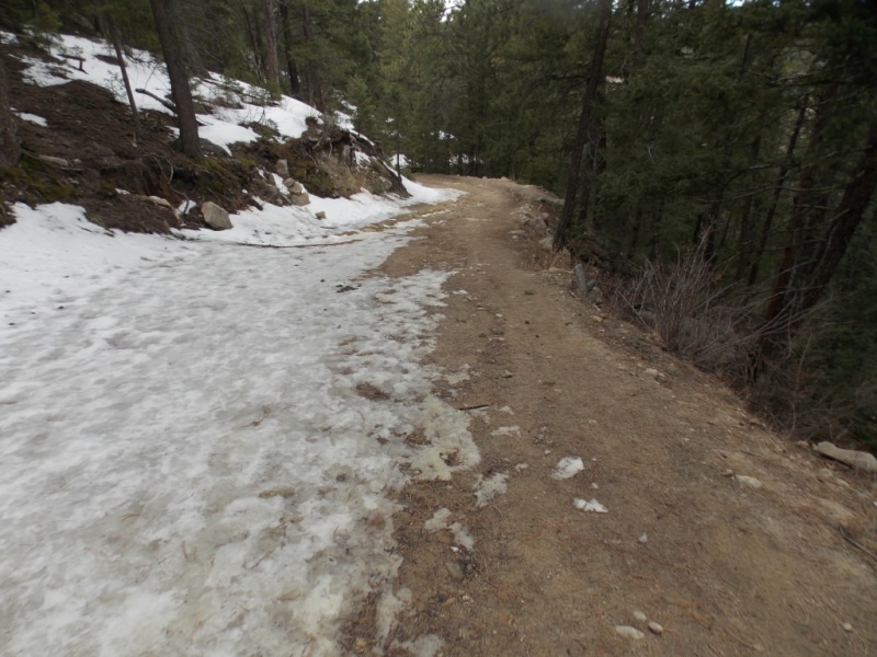
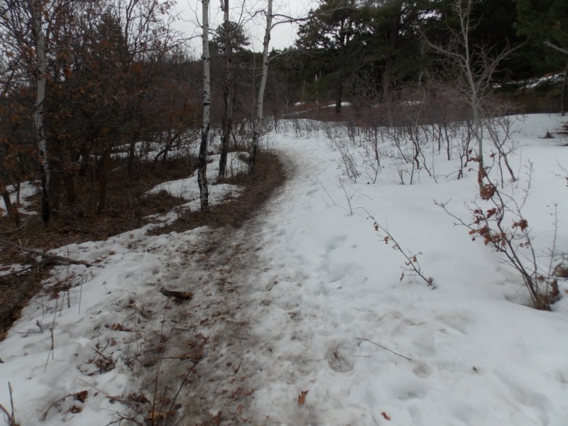
And some ice here...
More gamble oakAnother view of Eagle Mountain.Taken from highway 105 on the return home.
A fun day - as they always are in Colorado
Thanks for taking the time to read this and please be careful out there.
Thumbnails for uploaded photos (click to open slideshow):
Yes, I think we should demand that benches be strategically placed
on all 14er trails! Would come in handy for us older guys (I'm just
talking about me of course).
On a more serious note, I liked your TR. Nice pics of some mellow terrain.
Keep getting out there Jay! We've all been modifying our goals lately, glad to see you making the most of local hills. I've been going for the Eagle County soft ranked these last 2 weeks, easy to find lots of social distancing on those! Lol
@ Mthgoat - yeah - any elevation gain now is probably good. Thanks for commenting!
@ Mike - I bet you are absolutely nailing those Eagle County soft peaks - just like you get so many other mountains. In another lifetime, I just might match your peak count! Thanks!
Does Mike know that you repeatedly refer to him as "rocks"? Seems kind of rude, doesn't it? Just kidding amigo, I couldn't help myself. Glad to see you aren't letting recent events slow you down, Jay.
Yeah - Mike is my periodontist and a good friend and he does have rocks in his head - just like me! Thanks for the smile, Ben. And the nice words. Be well.
Caution: The information contained in this report may not be accurate and should not be the only resource used in preparation for your climb. Failure to have the necessary experience, physical conditioning, supplies or equipment can result in injury or death. 14ers.com and the author(s) of this report provide no warranties, either express or implied, that the information provided is accurate or reliable. By using the information provided, you agree to indemnify and hold harmless 14ers.com and the report author(s) with respect to any claims and demands against them, including any attorney fees and expenses. Please read the 14ers.com Safety and Disclaimer pages for more information.
Please respect private property: 14ers.com supports the rights of private landowners to determine how and by whom their land will be used. In Colorado, it is your responsibility to determine if land is private and to obtain the appropriate permission before entering the property.


")
")
")
")
")
")
")
")
")
")
")
")
")
")
")
")
")
")
")
")
")
")
")
")
")
")
")
")
")
")
")
")
")


