This route is the best way to summit both Redcloud Peak and Sunshine Peak together. Some hikers prefer to complete a circuit of both peaks by using Sunshine's northwest face route, but the easiest (and safest) method is to hike Redcloud, traverse to Sunshine, and return over Redcloud on your descent. Some re-gain is required to return to Redcloud, but it remains the best option.
Follow the
Redcloud Peak - Northeast Ridge Route to the summit of Redcloud. Sunshine lies 1.5 miles to the south, and there is a trail connecting the two peaks -
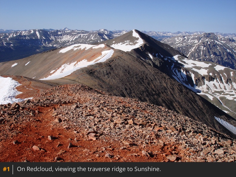
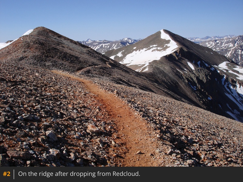
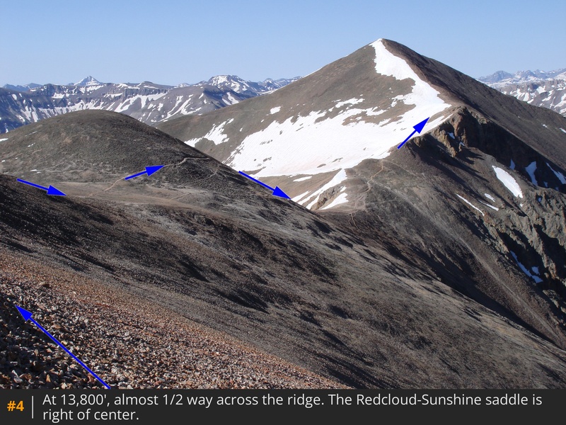
1. Descend south from the Redcloud summit and follow the trail along the right side of the ridge -
2,
3,
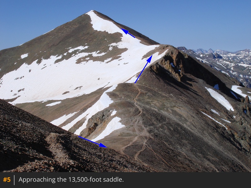
4. After passing a 13,841-foot point, descend to the Redcloud-Sunshine saddle
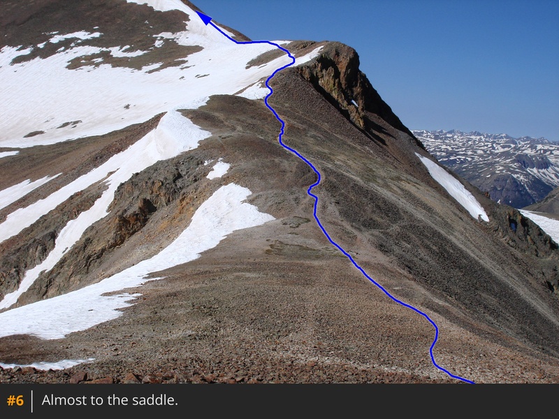
at 13,500' -
5,
6,
7.
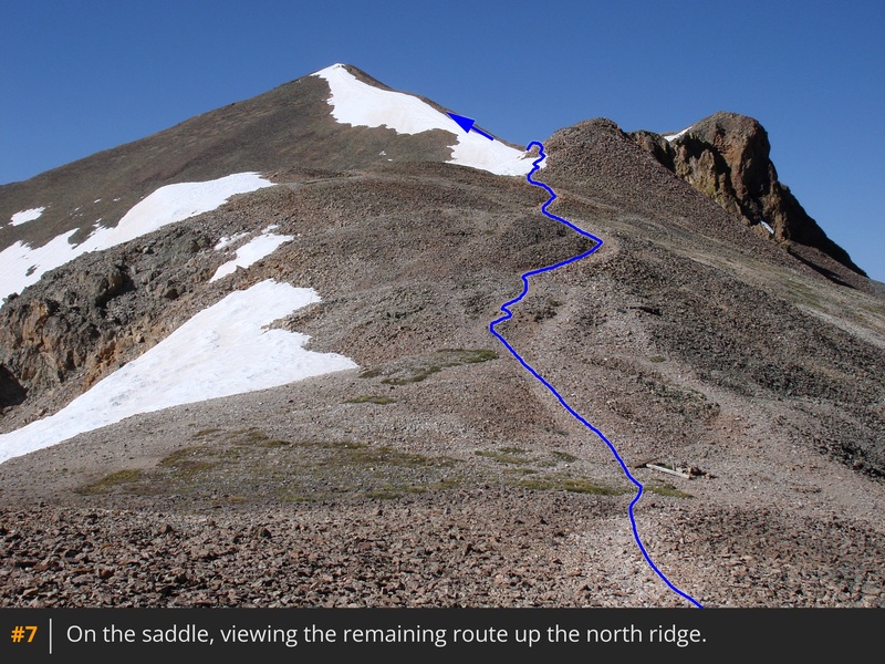
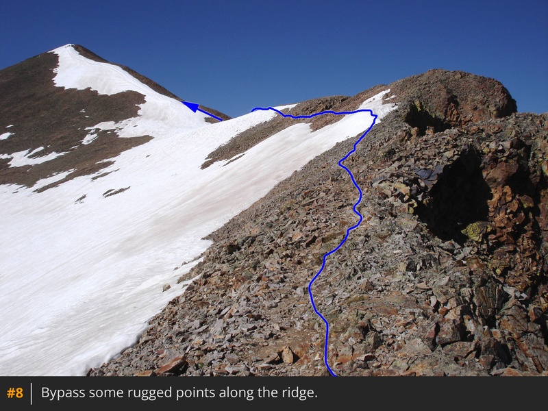
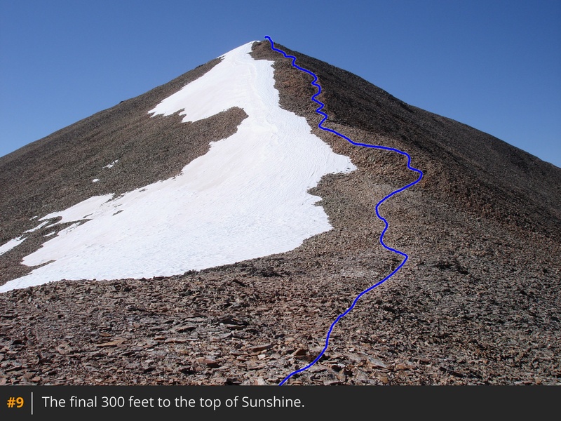
To reach the summit, you must gain 500 feet of elevation along Sunshine's north ridge. Leave the saddle and hike past some rugged points (
8) to reach a flat spot
near 13,700' -
9. Follow the trail to the summit -
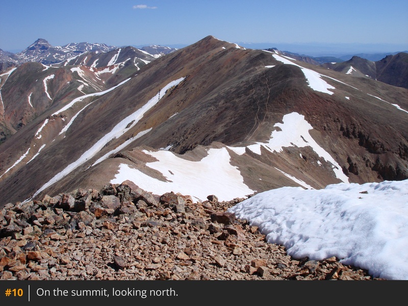
10. For your descent, return over Redcloud and down the main trail. Avoid shortcutting the return by descending west off the Redcloud-Sunshine saddle, as the terrain is steep, loose, and hazardous.


 GPX Track File
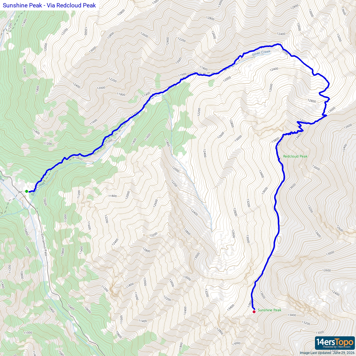


