From the Summit Lake parking area, head north past a rock building to find a trail that leads to the north end of the lake -
1 and
2. Walk to the end of the lake and locate a signed trail that ascends the east ridge of 13er Mt. Spalding -
3 and
4. Be sure not to take the lower trail, which veers left, closer to the lake. Begin ascending the ridge through rocky terrain to reach easier ground -
4 and
5. Around 13,200', stay left just below the ridge crest to bypass rough, rocky sections up to the right. After a short distance, and near 13,300', return to the ridge crest -
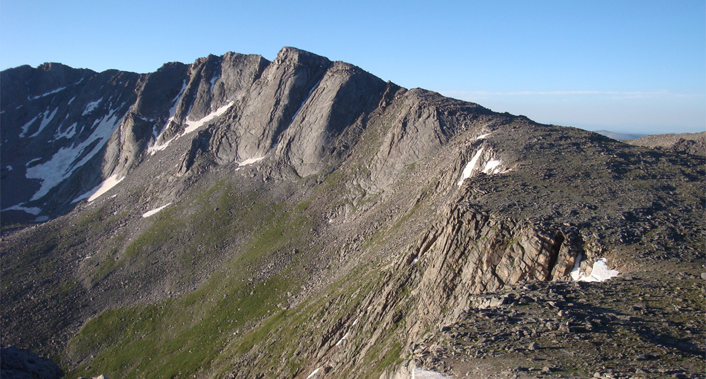
7. Taken from the summit of Blue Sky,
8 provides an overview of Spalding's east ridge. Regain the ridge crest at approximately 13,400', to reach easier terrain -
9. Cross a small trough and continue along the rocky ridge to reach the summit of Mt. Spalding
-
10,
11, and
12.
13 provides a good look at Blue Sky's west ridge. Leave Spalding and follow cairns and trail sections south, descending to the Blue Sky–Spalding saddle located at 13,600' -
14. Continue following cairns southward toward the end of the west ridge -
15 and
16. At 13,800', you'll reach the end of the ridge. Head toward a hump on the ridge (
17) to reach a notch
just before the hump.
Descend slightly to the right (
18) and follow the cairned trail as it continues eastward. The route stays below the ridge crest for the majority of the remaining hike. From the hump at the western end of the ridge, the summit is nearly 1 mile away.
19 shows the view of the summit as seen from a prominent bump called "West Evans," and
20 shows the view as you draw closer. Upon reaching the summit area, intersect the summit tourist trail and follow it to the top -
21 and
22. Once you've taken in the views, descend via the same route.
