It takes about 30 minutes from the turnoff onto Tigiwon Road to the trailhead. Expect a lot of campers along the 8 mile road and a lot of cars parked at the trailhead in busy months.
Hike up the Half Moon trail 1.7 miles to Half Moon Pass. The north ridge of Notch Mountain (13,237') is up to your left. There is a large cairn with a tall stick in the middle on the right of the trail at the summit of the pass. A trail takes off to the left just a few feet past the cairn. The GPS coordinates are 39.4940 N and -106.4537 W.
1
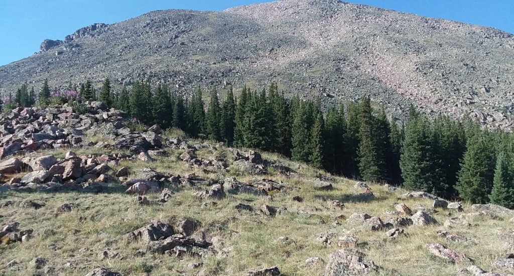
Pass through the trees and begin your ascent towards Point 12,743 (39.4859 N -106.4557 W). Hike up the hill mostly on grassy slopes towards the small saddle to the left of the point, and then head toward the point as you approach it. (There is also a fairly large cairned trail that goes to the southeast and around and follows a path well below the ridge.)
From just below point 12,743, stay to left of the ridge on large talus.
3 At about the saddle where the snow is in this picture, you will transfer over to the right of the ridge.
2 You can talus hop your way to the summit anywhere but there is a cairned trail, if you can see its origin, that is down a little ways to the right of the ridge. The summit coordinates are 39.4773 N and -106.4605 W. It is approximately 3.1 miles to the summit and takes roughly 3 hours to get there. There are no major water sources.
