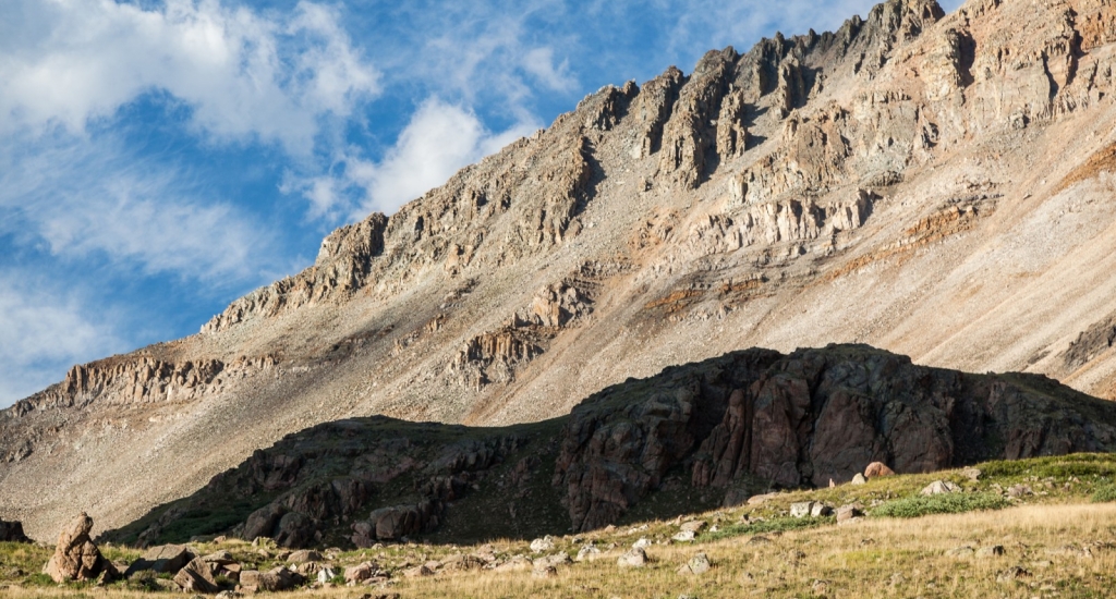
There's no official trailhead or parking area for this climb - just follow the directions for the Iowa Gulch trailhead and park near 11,650' on the road.
Approx. parking coordinates: 39.22984 North, -106.19822 West. Leave the road and hike northeast up into the Dyer Amphitheater where you'll get a look at Dyer's west ridge -
1. As you ascend into the Dyer Amphitheater, hike along the center of the rocky drainage -
2. Gain easier ground above some cliffs (
3), walk past a small lake (
4) and continue toward the north end of the amphitheater (
5) where the terrain gets more difficult -
6. Ascend the scree slope at the north end of the amphitheater to reach the saddle between West Dyer Mountain and Dyer Mountain -
7.
To add West Dyer Mountain to your route, turn left and walk 0.25 mile up West Dyer's east ridge to reach the summit, then return to the saddle -
8. Now, things get more serious. Walk east over to the base of Dyer's west ridge and the terrain quickly changes to stacked, broken rock -
9. Carefully follow the ridge crest toward the first, towering point on the ridge -
10. Climb a small, Class 4 chimney (
11) and scramble up through some Class 3 rock (
12) to reach ~13,000', just below the point -
13.
Angle right and bypass this point to the south of the ridge crest -
14. Still on the south side of the ridge, ascend approx. 200' of elevation and go around a small rock face to find a rock-filled passage which brings you back toward the ridge crest -
15 and
16. Back on the ridge, scramble up and down over several jagged points between 13,200' and 13,500' -
17,
18,
19 and
20.
Near 13,600', some scrambling remains but the most difficult terrain is behind you. Continue along the ridge (
21) and ascend a bump (
22) to see... a false summit -
23. Hike/scramble up the false summit (
24 and
25) to finally see Dyer's true summit -
26. Descend slightly before climbing the final pitch to the top -
27 and
28. For the descent, use Dyer's Southeast Slopes route which will return you to the Iowa Gulch road.
