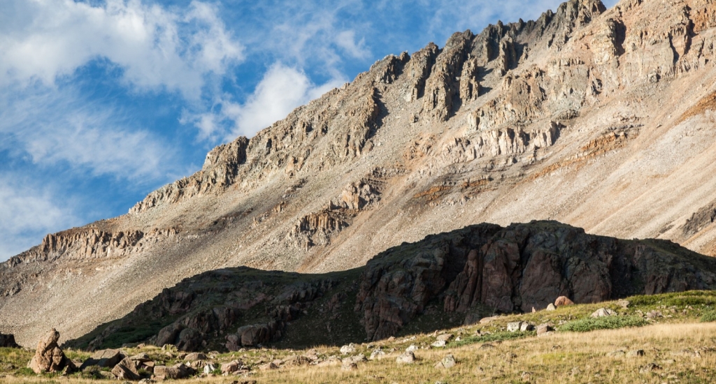
Dyer Mountain
West RidgeDifficulty Class 4
Risk FactorsExposure: Considerable
Rockfall: High
Route-Finding: Considerable
Commitment: Considerable
Rockfall: High
Route-Finding: Considerable
Commitment: Considerable
TrailheadIowa Gulch
Start11,680 feet
Summit13,861 feet
Total Gain2,250 feet
RT Length4.5 miles
AuthorBillMiddlebrook
Last UpdatedApr 2023

Trailhead
Take US 24 through downtown Leadville to the southern end of town. Turn east onto Monroe Street and drive 0.2 miles. Turn right (south) on Lake County 2 (Toledo St). Follow CR 2 (paved) for approximately 3.8 miles to a fork in the road. Turn left on a 2WD dirt road and continue 3.0 miles up into Iowa Gulch to the trailhead. A total of 7 miles from US 24 in Leadville. The trailhead is unmarked - park along the road. If you're hiking Mts Sherman or Sheridan, locate the trail (below the edge of the road) as it heads toward the creek under the power lines.
Route
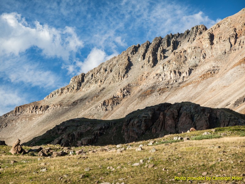
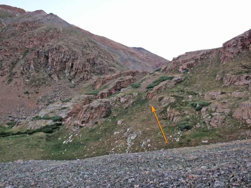
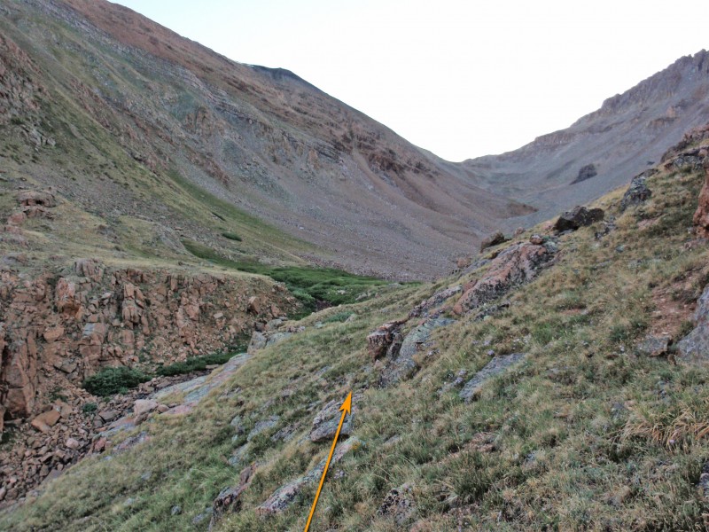
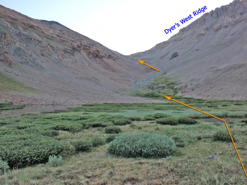
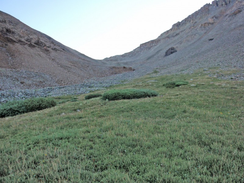
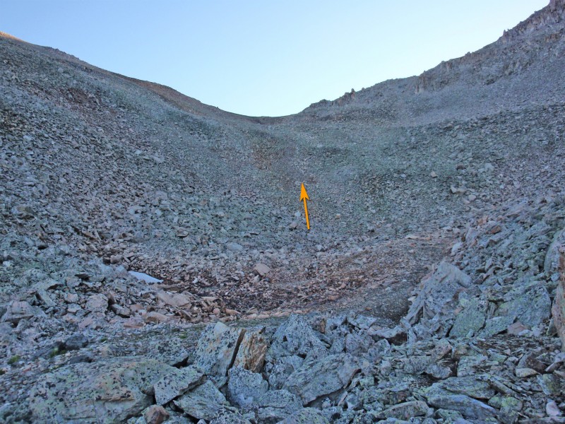
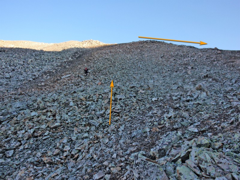
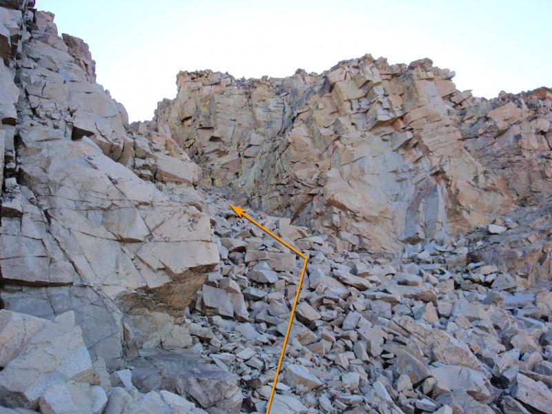
There's no official trailhead or parking area for this climb - just follow the directions for the Iowa Gulch trailhead and park near 11,650' on the road. Approx. parking coordinates: 39.22984 North, -106.19822 West. Leave the road and hike northeast up into the Dyer Amphitheater where you'll get a look at Dyer's west ridge - 1. As you ascend into the Dyer Amphitheater, hike along the center of the rocky drainage - 2. Gain easier ground above some cliffs ( 3), walk past a small lake ( 4) and continue toward the north end of the amphitheater ( 5) where the terrain gets more difficult - 6. Ascend the scree slope at the north end of the amphitheater to reach the saddle between West Dyer Mountain and Dyer Mountain - 7.
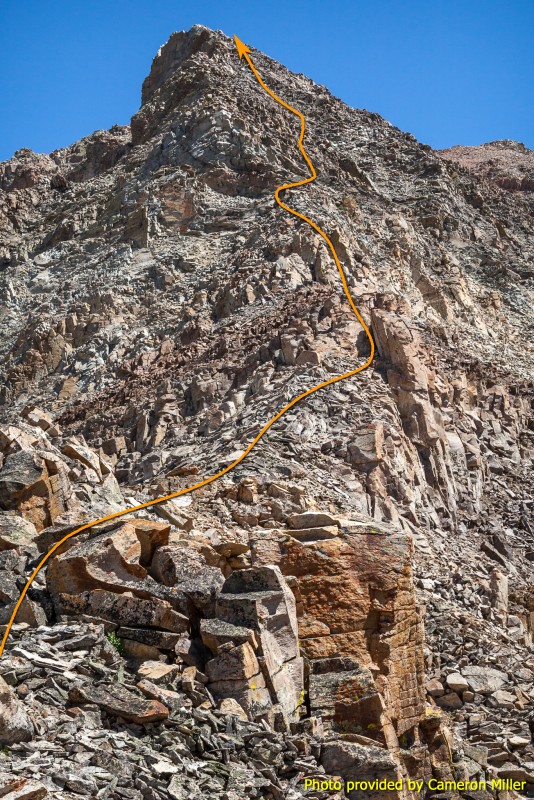
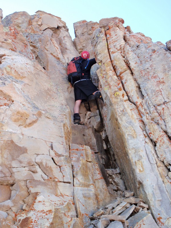
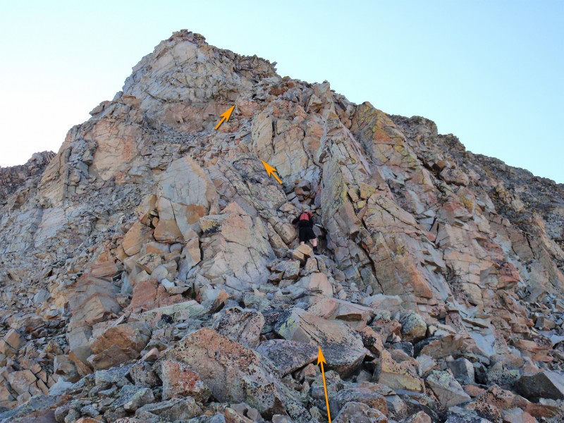
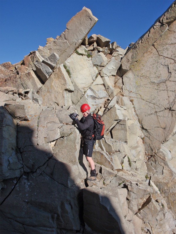
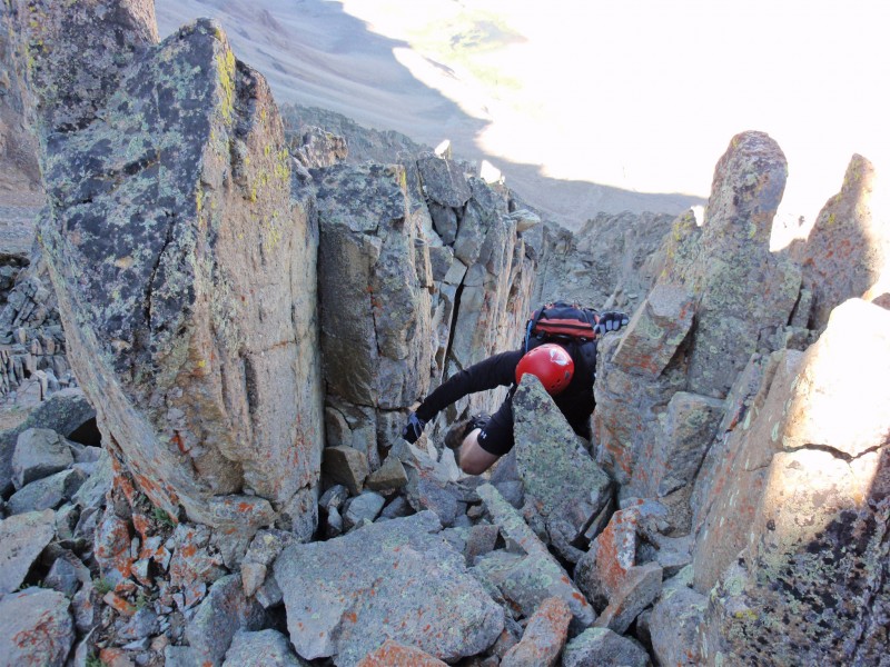
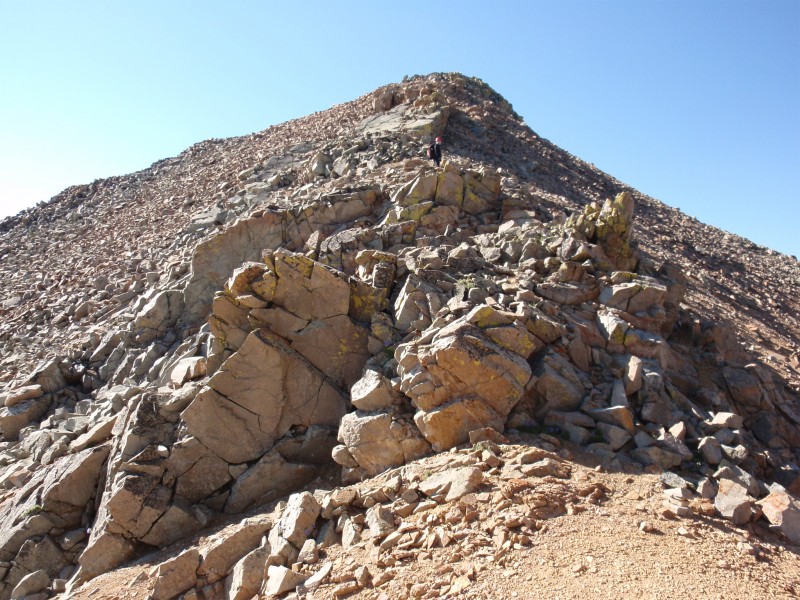
To add West Dyer Mountain to your route, turn left and walk 0.25 mile up West Dyer's east ridge to reach the summit, then return to the saddle - 8. Now, things get more serious. Walk east over to the base of Dyer's west ridge and the terrain quickly changes to stacked, broken rock - 9. Carefully follow the ridge crest toward the first, towering point on the ridge - 10. Climb a small, Class 4 chimney ( 11) and scramble up through some Class 3 rock ( 12) to reach ~13,000', just below the point - 13.
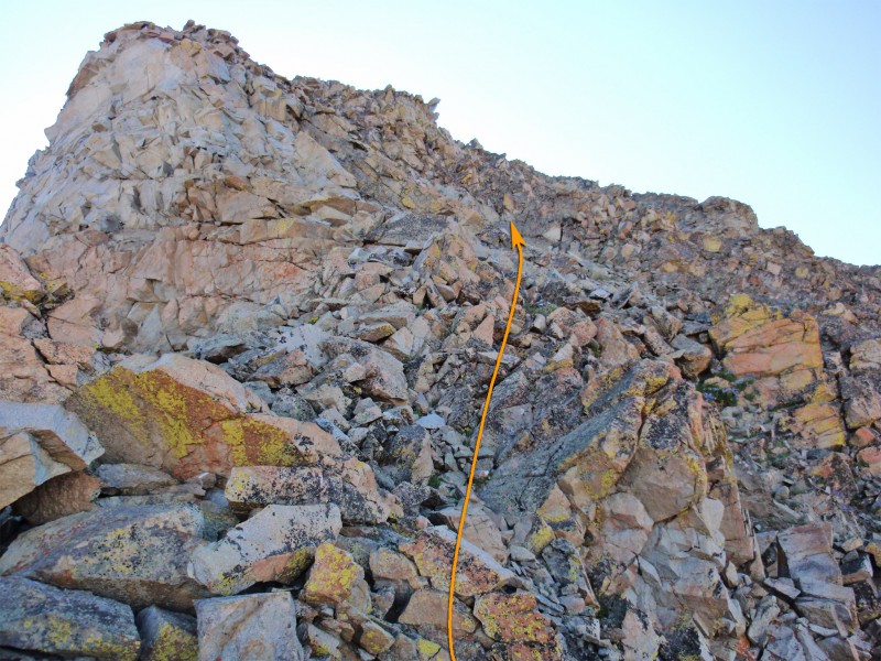
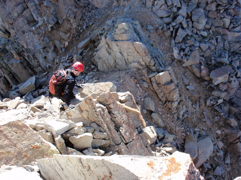
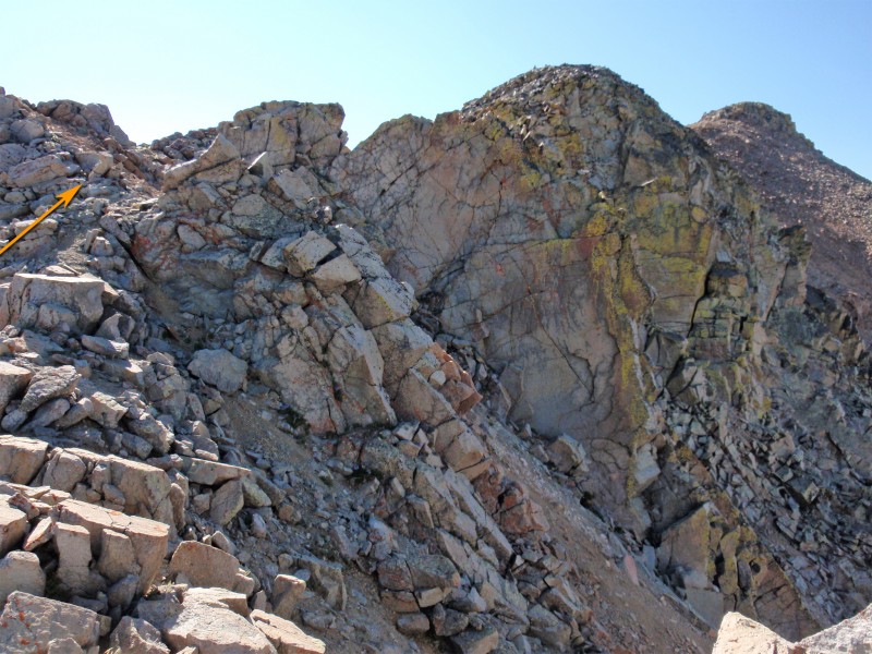
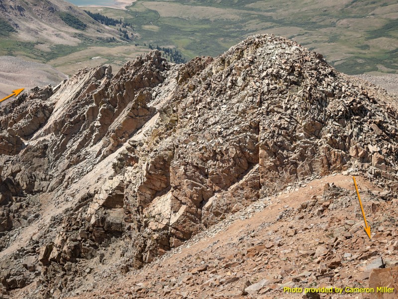
Angle right and bypass this point to the south of the ridge crest - 14. Still on the south side of the ridge, ascend approx. 200' of elevation and go around a small rock face to find a rock-filled passage which brings you back toward the ridge crest - 15 and 16. Back on the ridge, scramble up and down over several jagged points between 13,200' and 13,500' - 17, 18, 19 and 20.
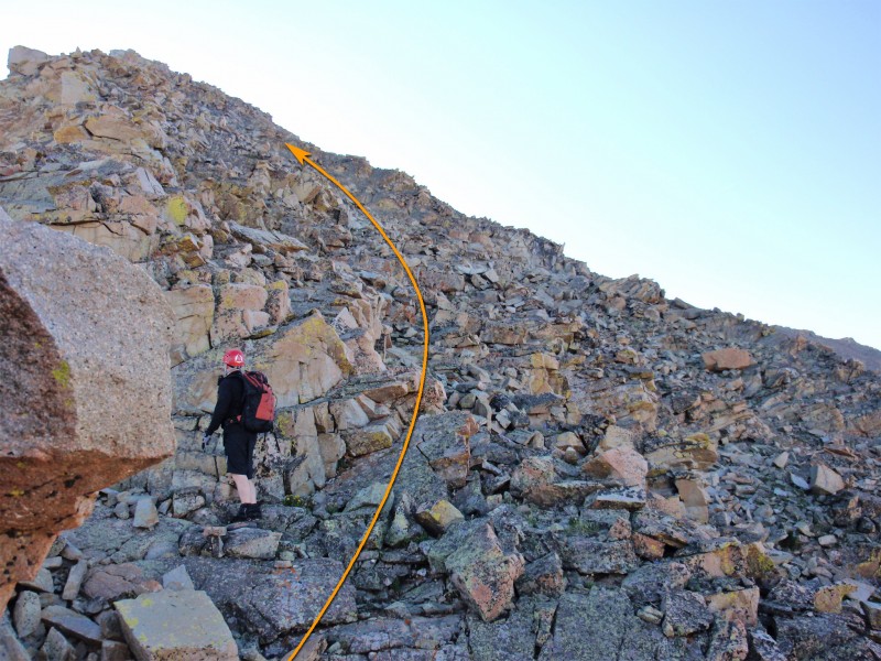
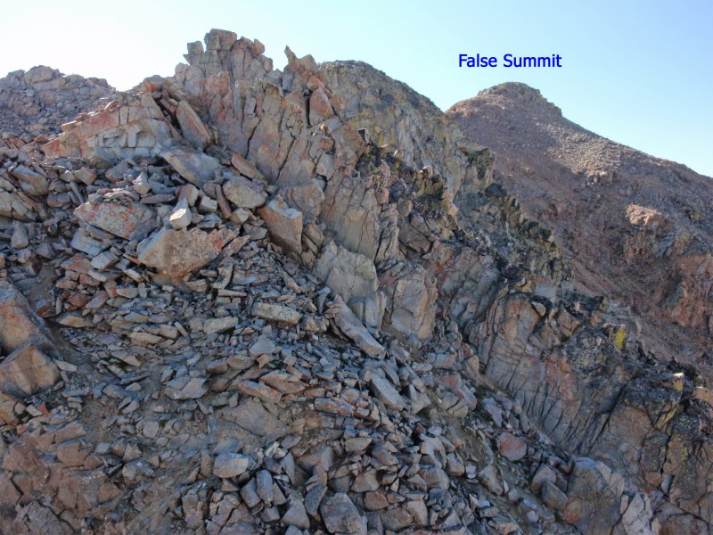
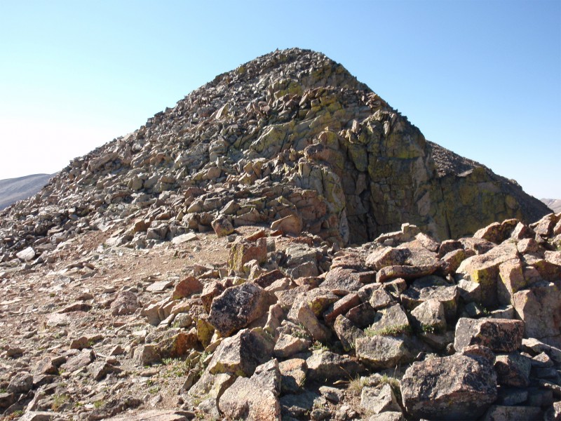
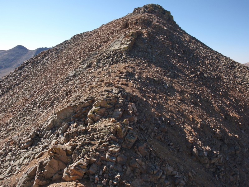
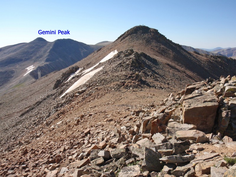
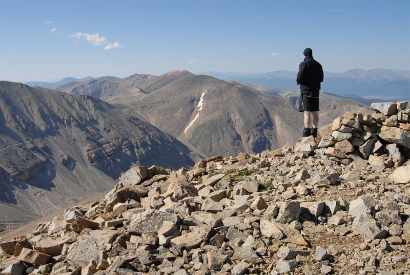
Near 13,600', some scrambling remains but the most difficult terrain is behind you. Continue along the ridge ( 21) and ascend a bump ( 22) to see... a false summit - 23. Hike/scramble up the false summit ( 24 and 25) to finally see Dyer's true summit - 26. Descend slightly before climbing the final pitch to the top - 27 and 28. For the descent, use Dyer's Southeast Slopes route which will return you to the Iowa Gulch road.
Notes
This route holds loose rock on steep terrain and should not be taken lightly.
 |
Caution: The information contained in this route may not be accurate and should not be the only resource used in preparation for your climb. Failure to have the necessary experience, physical conditioning, supplies or equipment can result in injury or death. 14ers.com and the author(s) of this route provide no warranties, either express or implied, that the information provided is accurate or reliable. By using the information provided, you agree to indemnify and hold harmless 14ers.com and the route author(s) with respect to any claims and demands against them, including any attorney fees and expenses. Please read the 14ers.com Safety and Disclaimer pages for more information.
