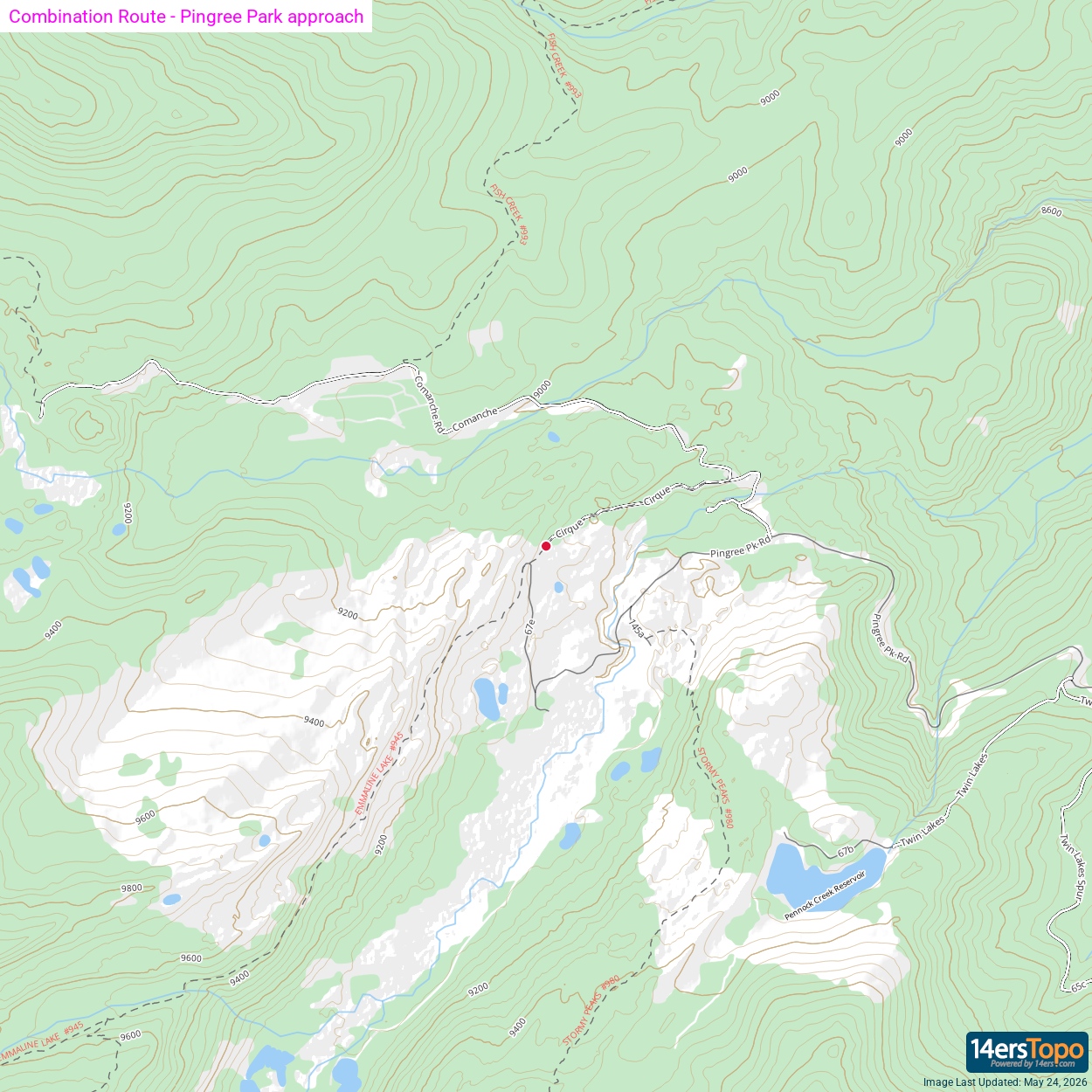
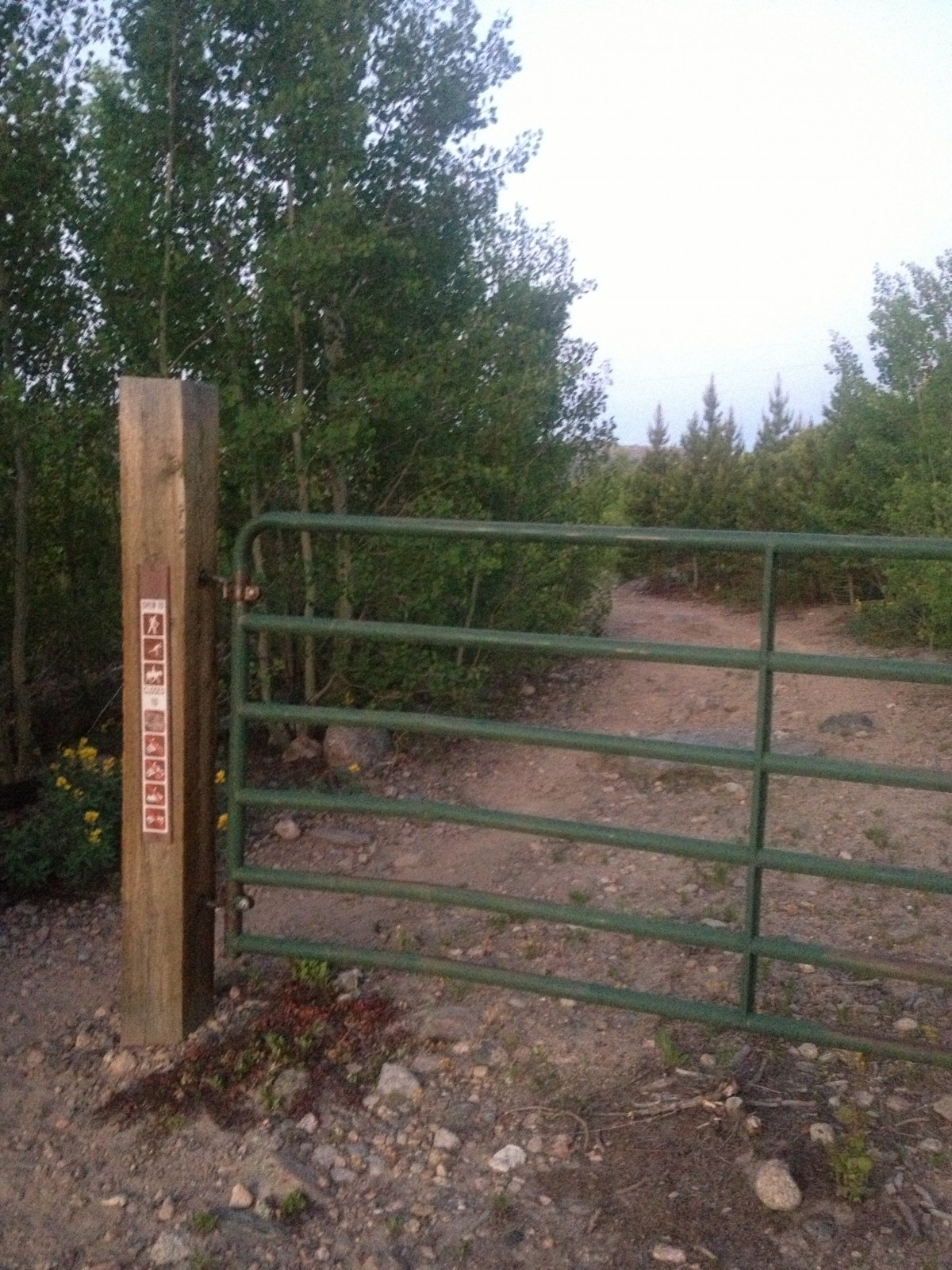
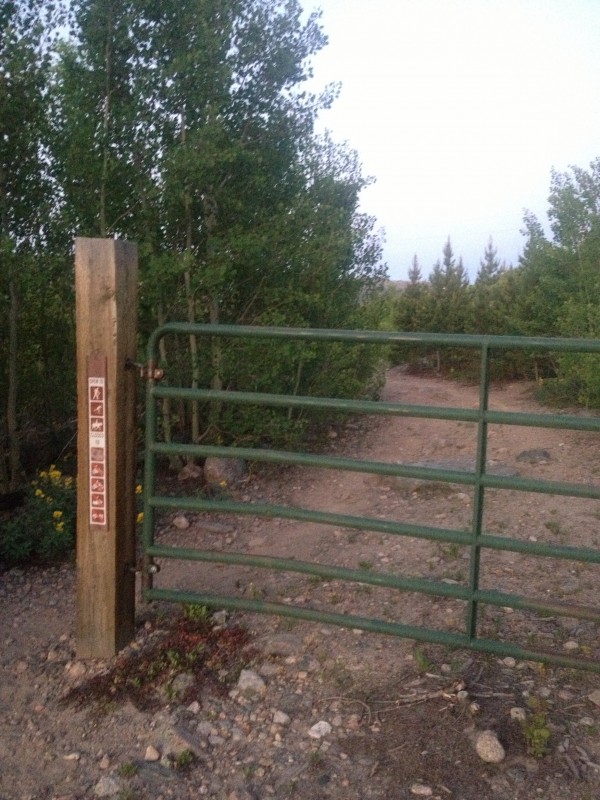
From the Emmaline Lake Trailhead at the end of the half mile 4WD access road, pass the gate (
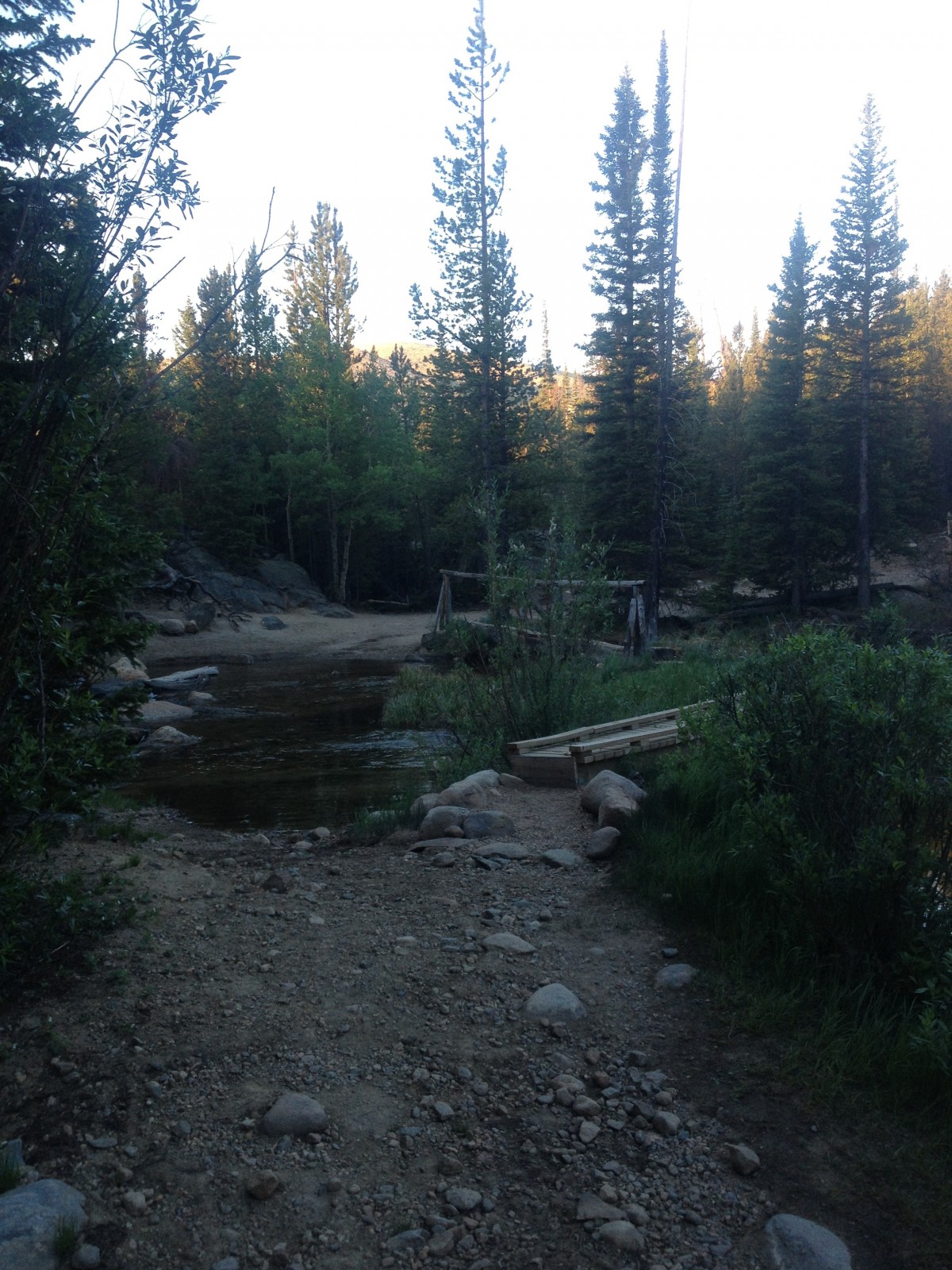
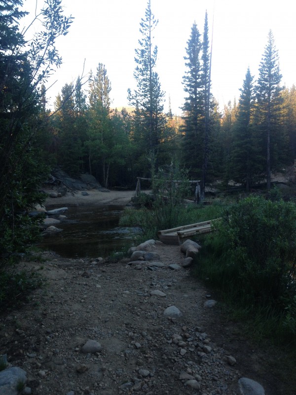
2) and continue down the dirt road, gaining a few hundred feet through aspen groves for the first mile. At 1.6 miles from the gate, cross a river (
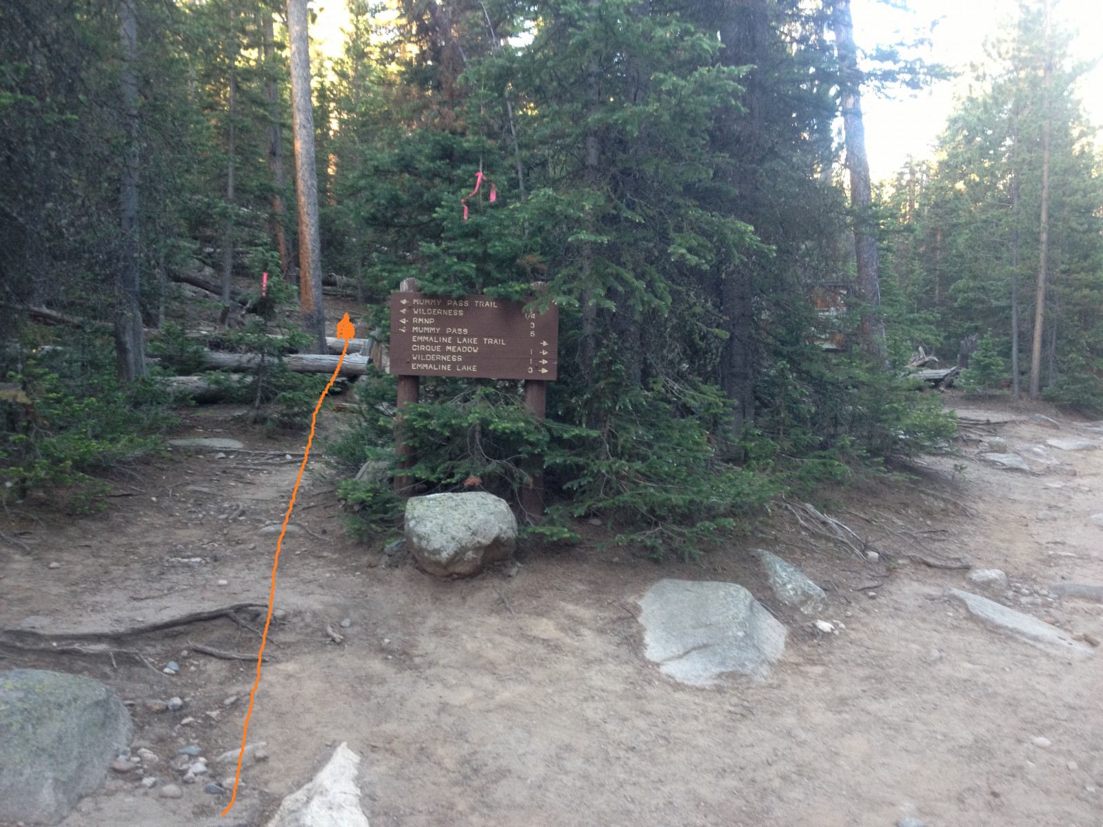
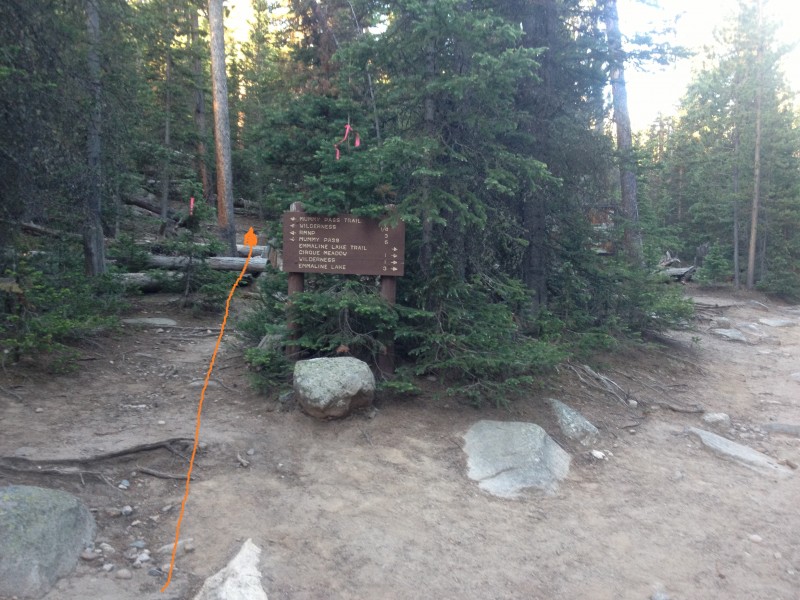
3) and continue on to the Mummy Pass Trail turnoff just before 2 miles (
4) at 9500 feet.
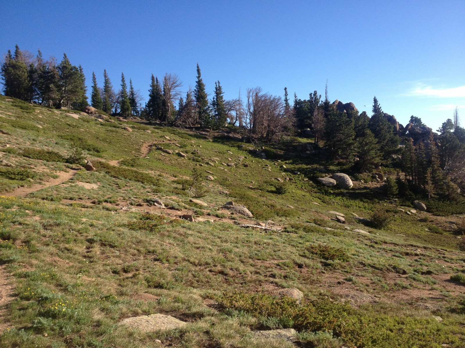
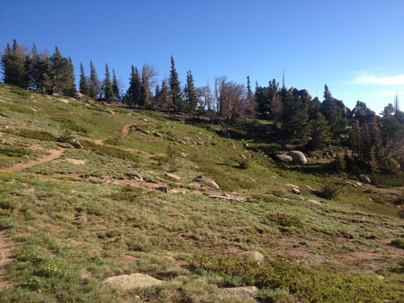
The trail ascends gradually through woods over the next several miles, breaking out of treeline near 11,000 feet and 4.5 miles (
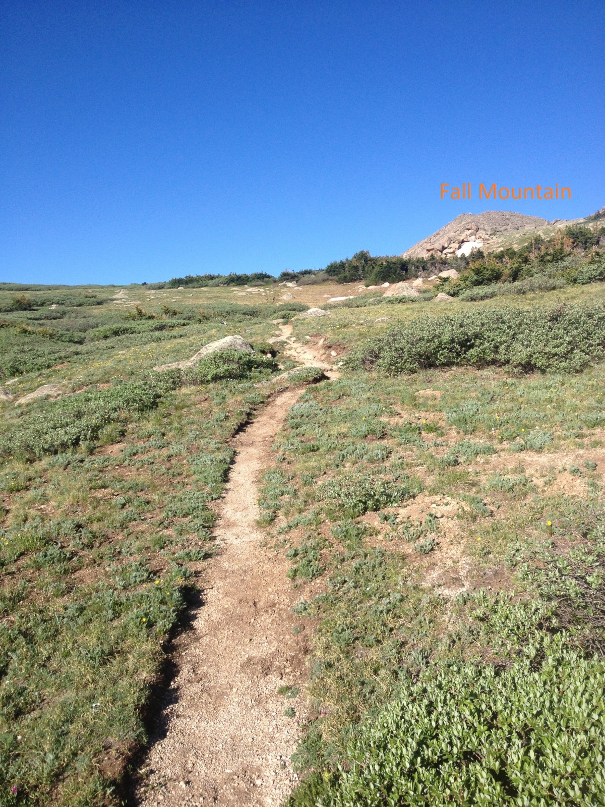
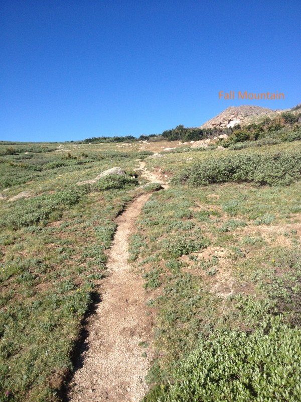
5). Cairns begin near treeline and continue periodically during the ascent to Mummy Pass. At around 5.7 miles, Fall Mountain comes into view to the west while approaching the high point of the pass (
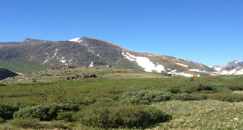
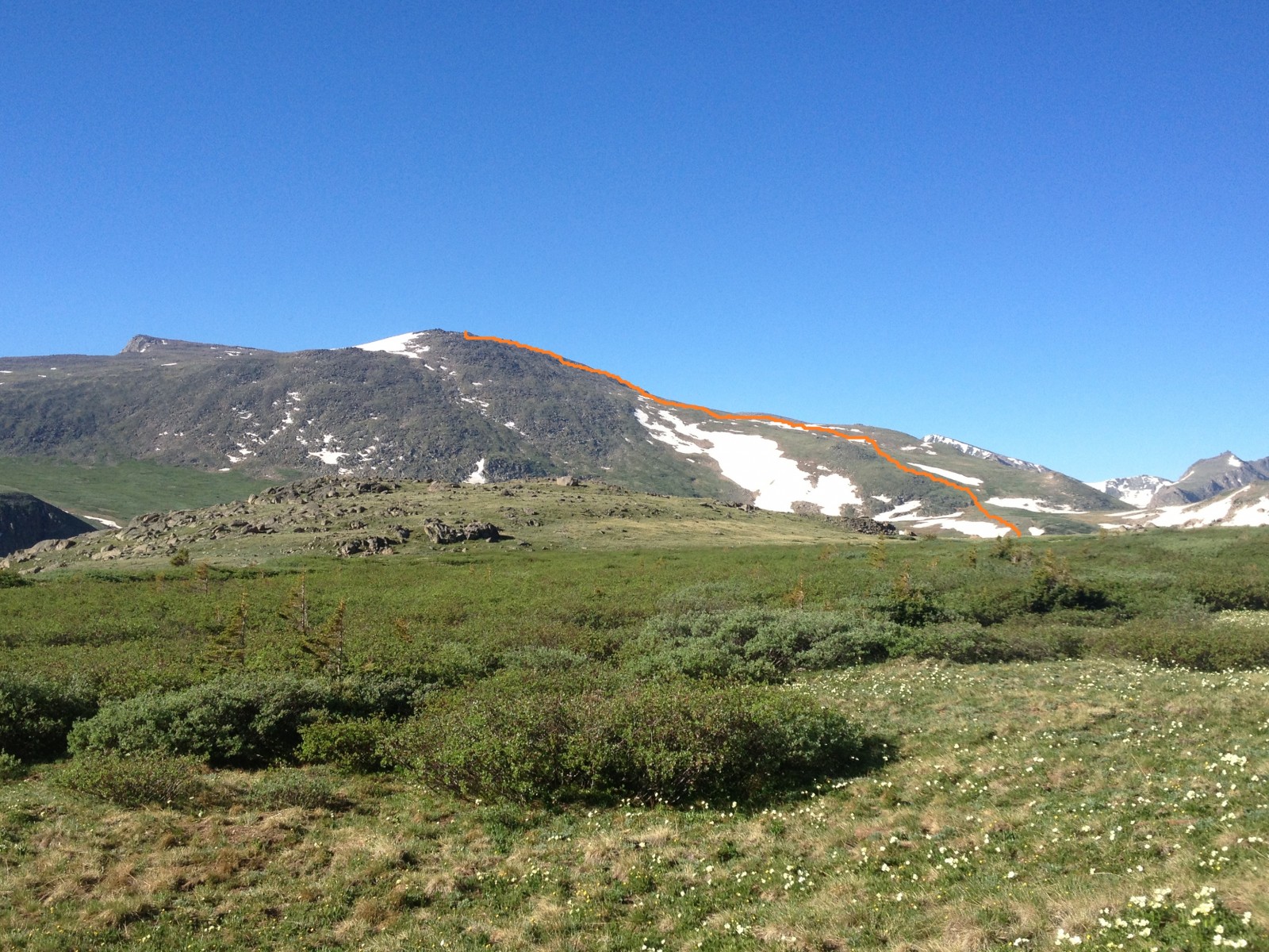
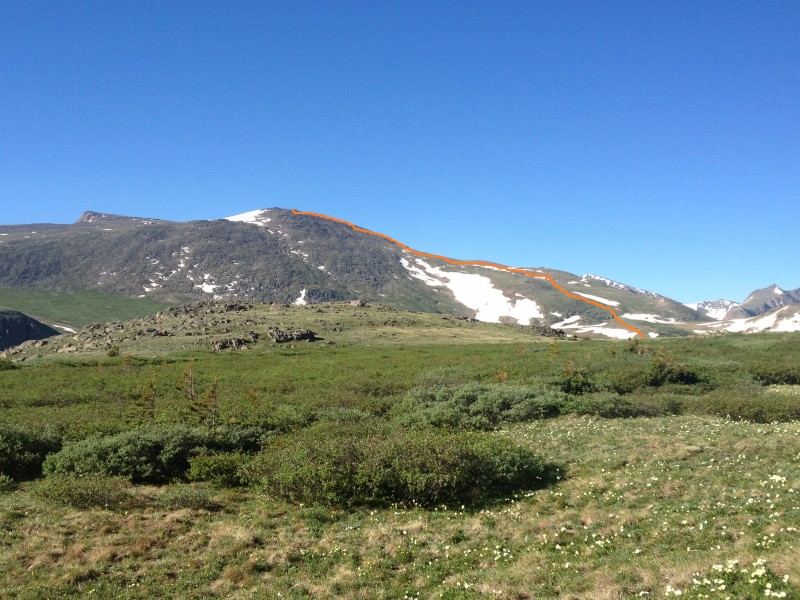
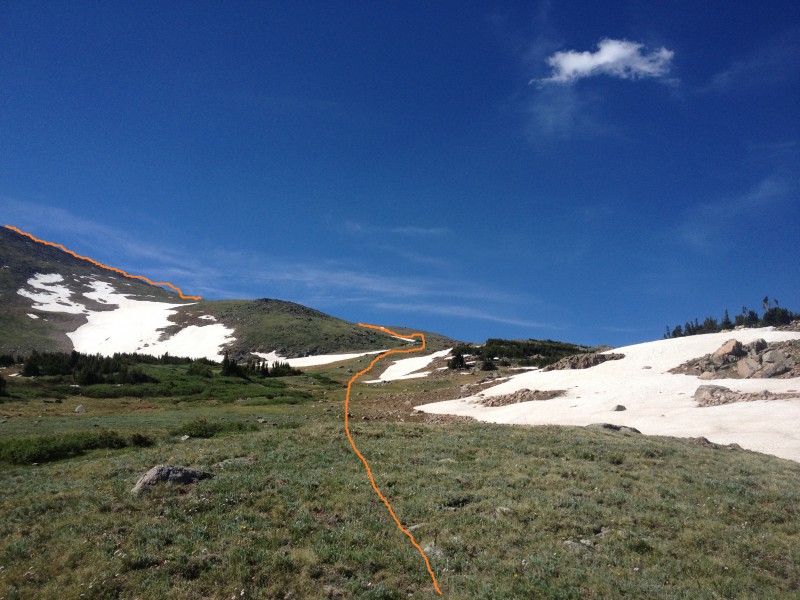
6) and Rowe Mountain comes into view to the southwest, revealing the route to the summit (
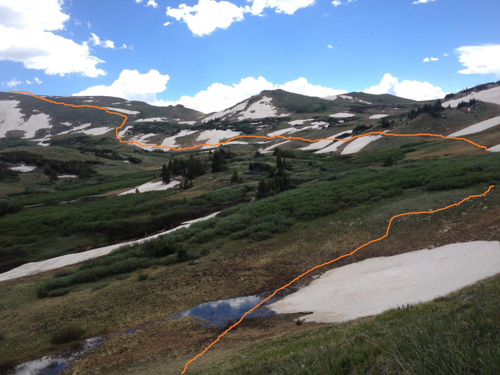
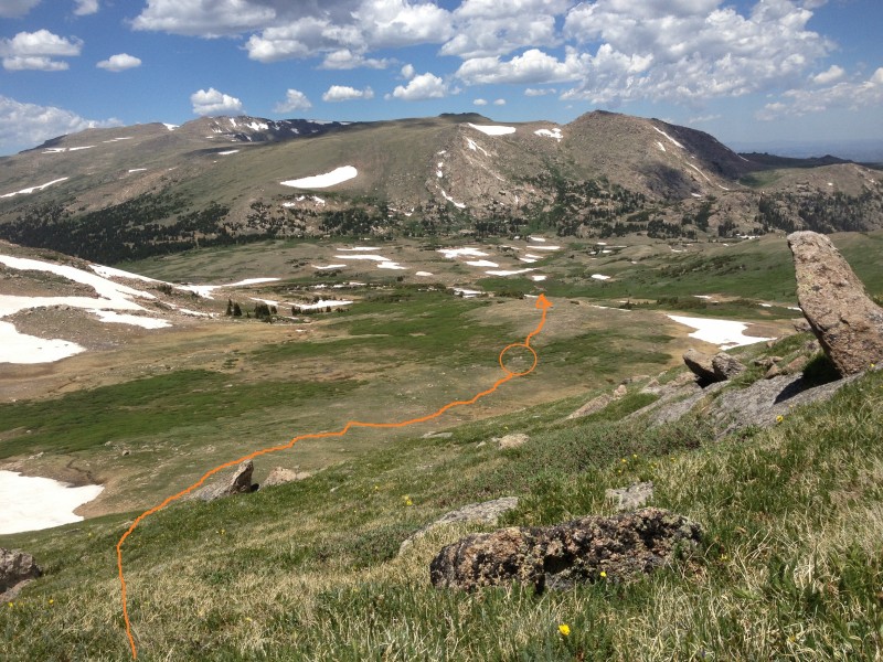
1). Take a moment to study Rowe Mountain and the valleys leading to the western slope.
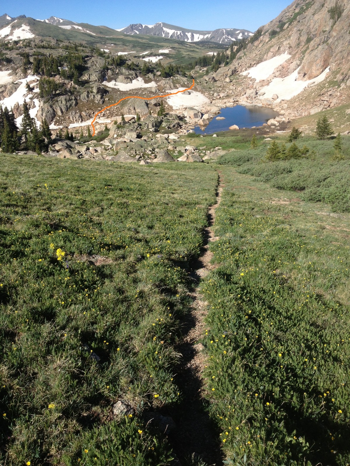
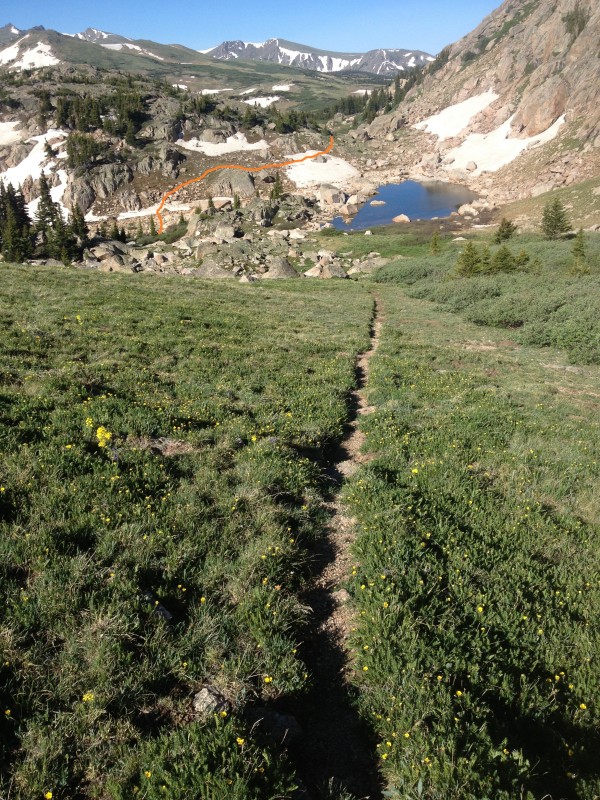
Cross over the flat meadows of Mummy Pass at 11,450 feet and drop down the west side of the pass toward a small lake (
7). Move through tall bushes on either side of the trail and pass to the left (south) of the small lake, using cairns to guide (
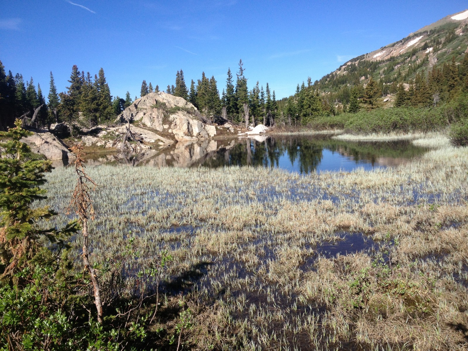
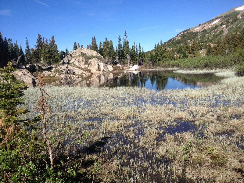
8). Continue half a mile to a landmark pond on the other side of the pass (
9), at 6.7 miles and 11,200 feet.
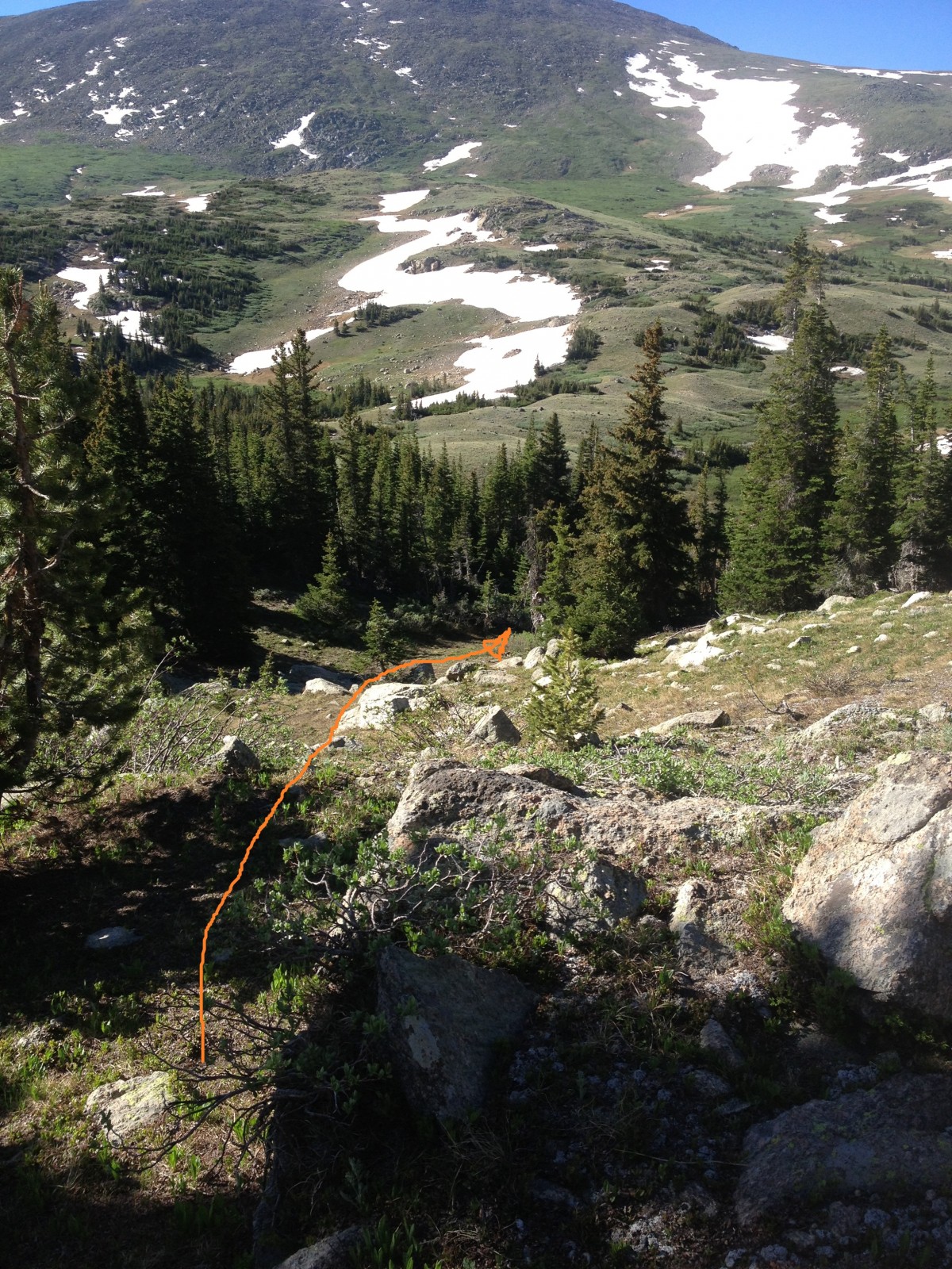
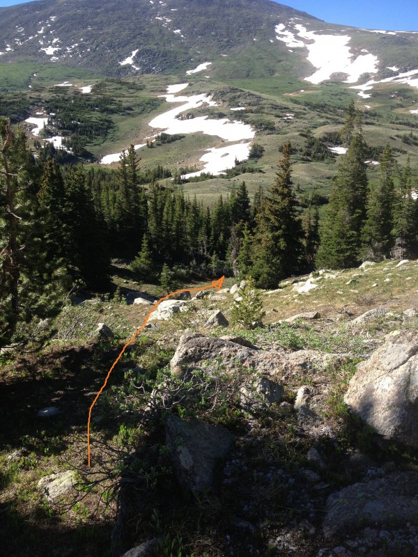
Take a drainage south through light woods, leaving the Mummy Pass Trail (
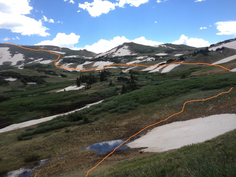
10), and find the river just south of the pass. Turn west again and follow the river west to its origin at the base of Rowe Mountain (
11), stepping over various small tributaries on the way.
12 is taken at about 7.2 miles, closer to the point of crossing the source of the river (
13). The point of following the river west is to avoid the dense shrubbery growing due north of Rowe Mountain.
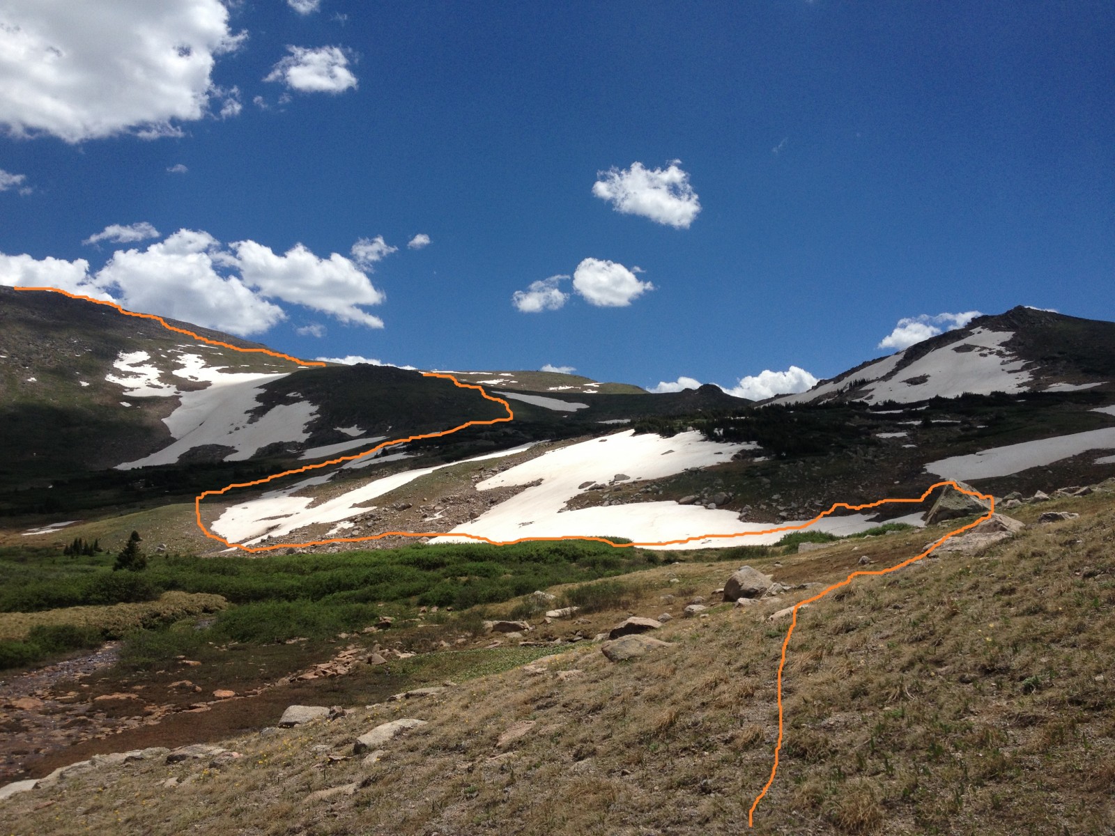
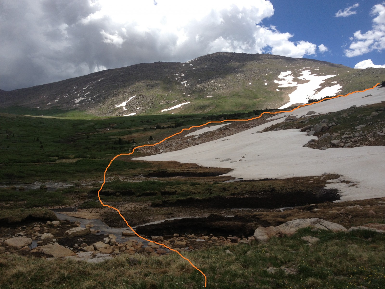
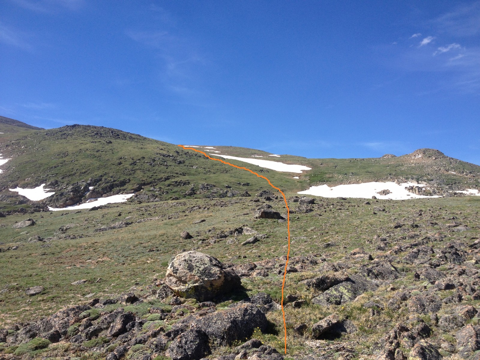
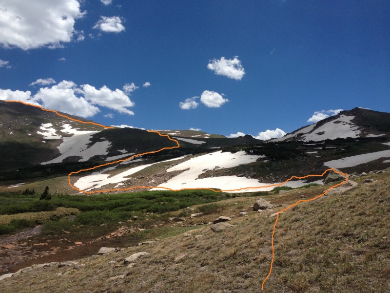
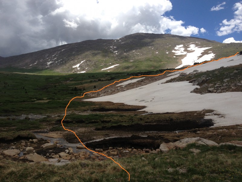
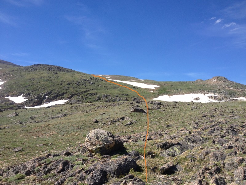
Once across the river at 7.5 miles and 11,200, the rest of the route to the summit region is clear (
14).
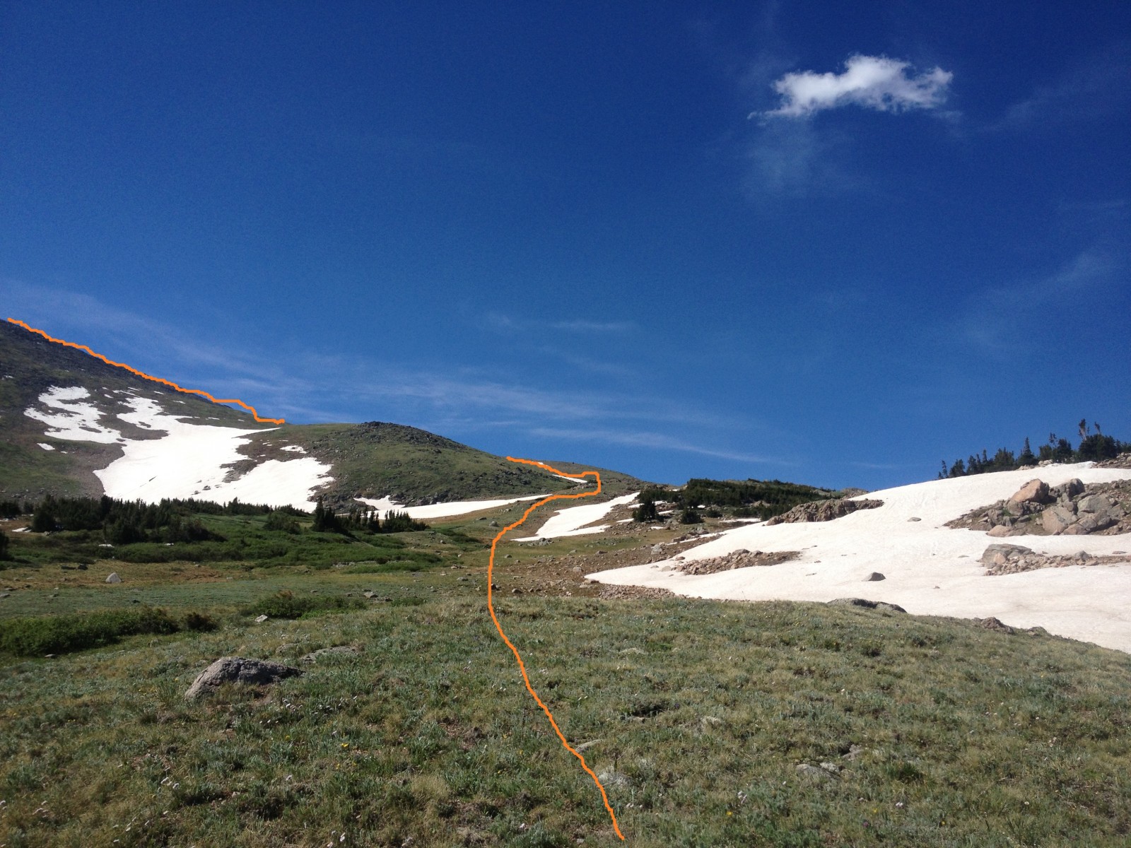
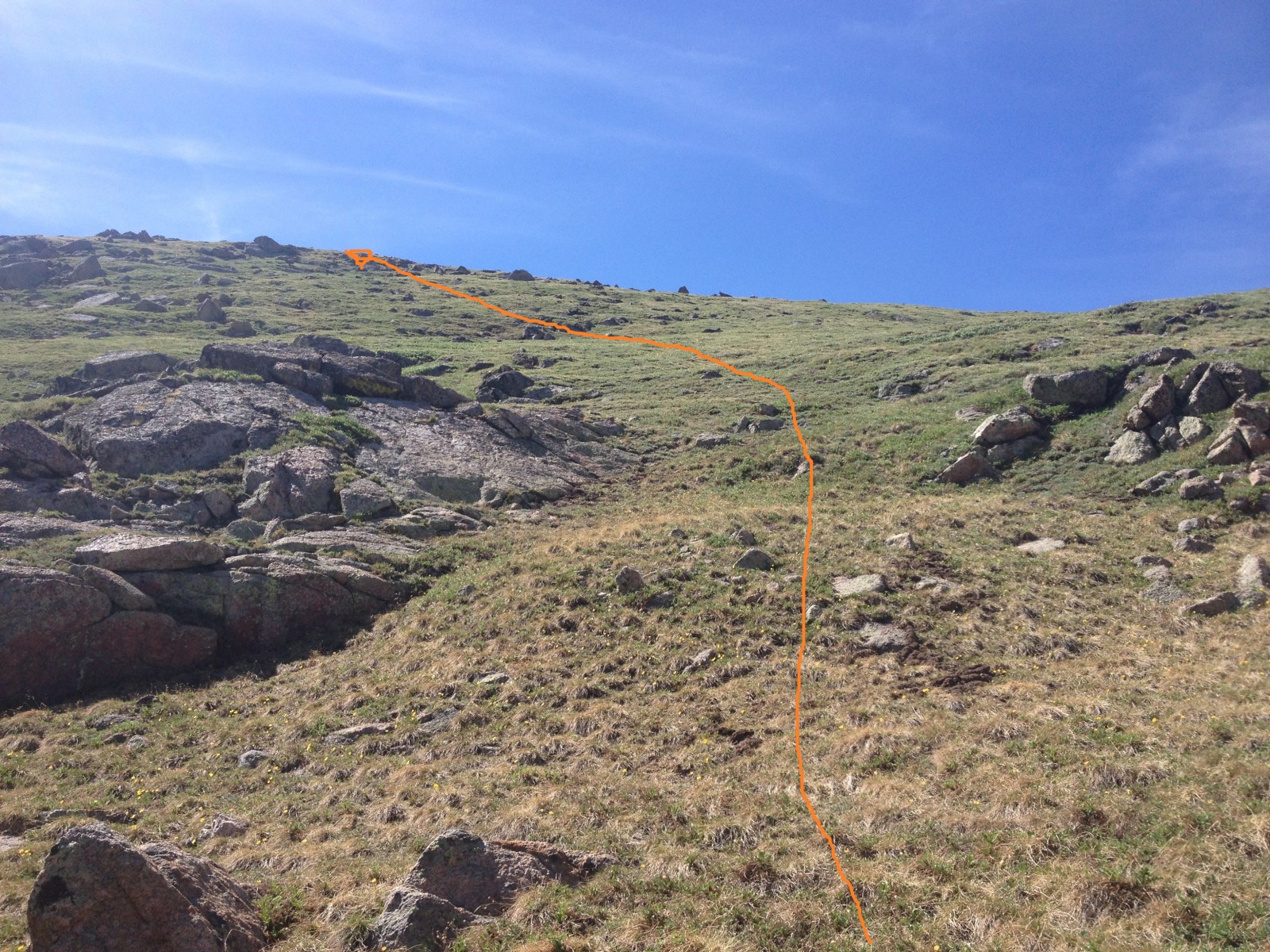
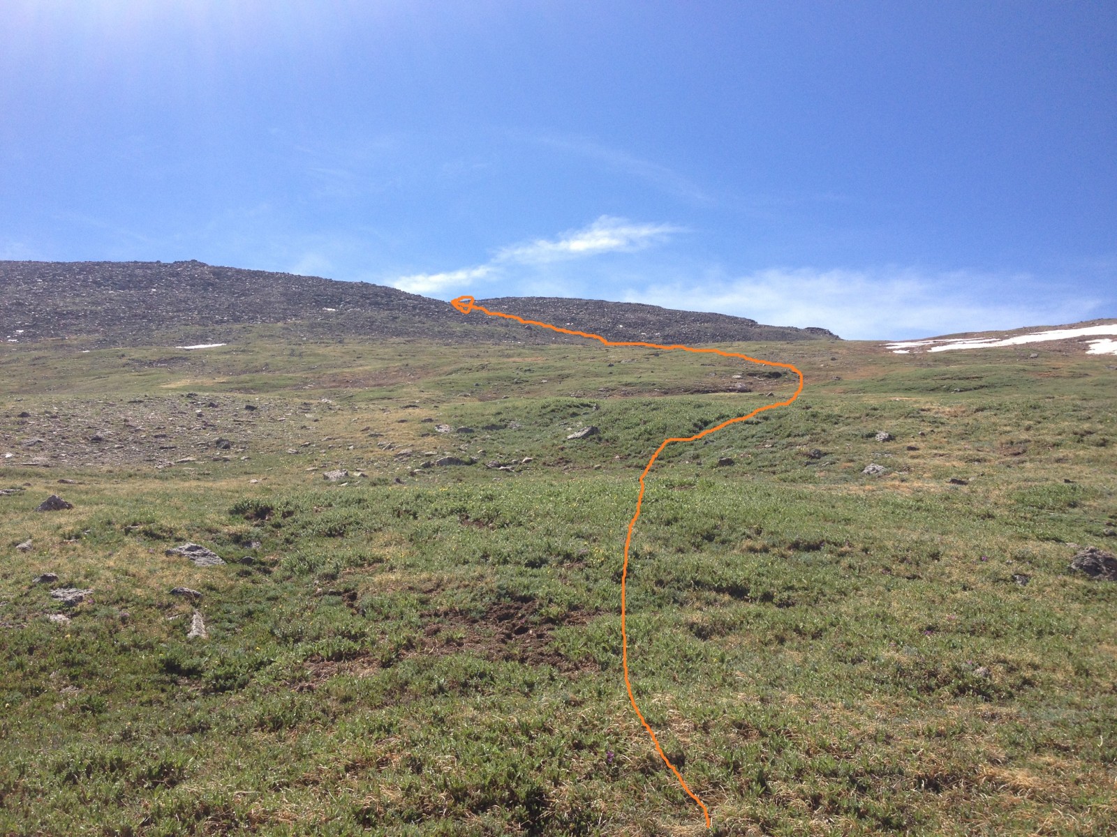
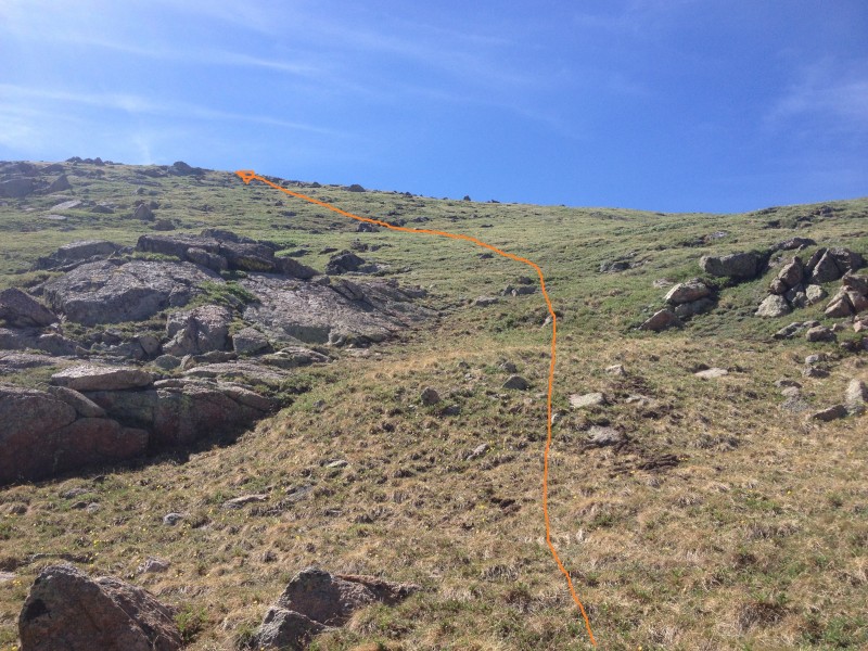
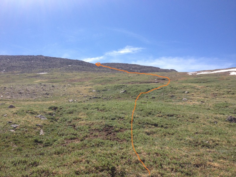
15 and
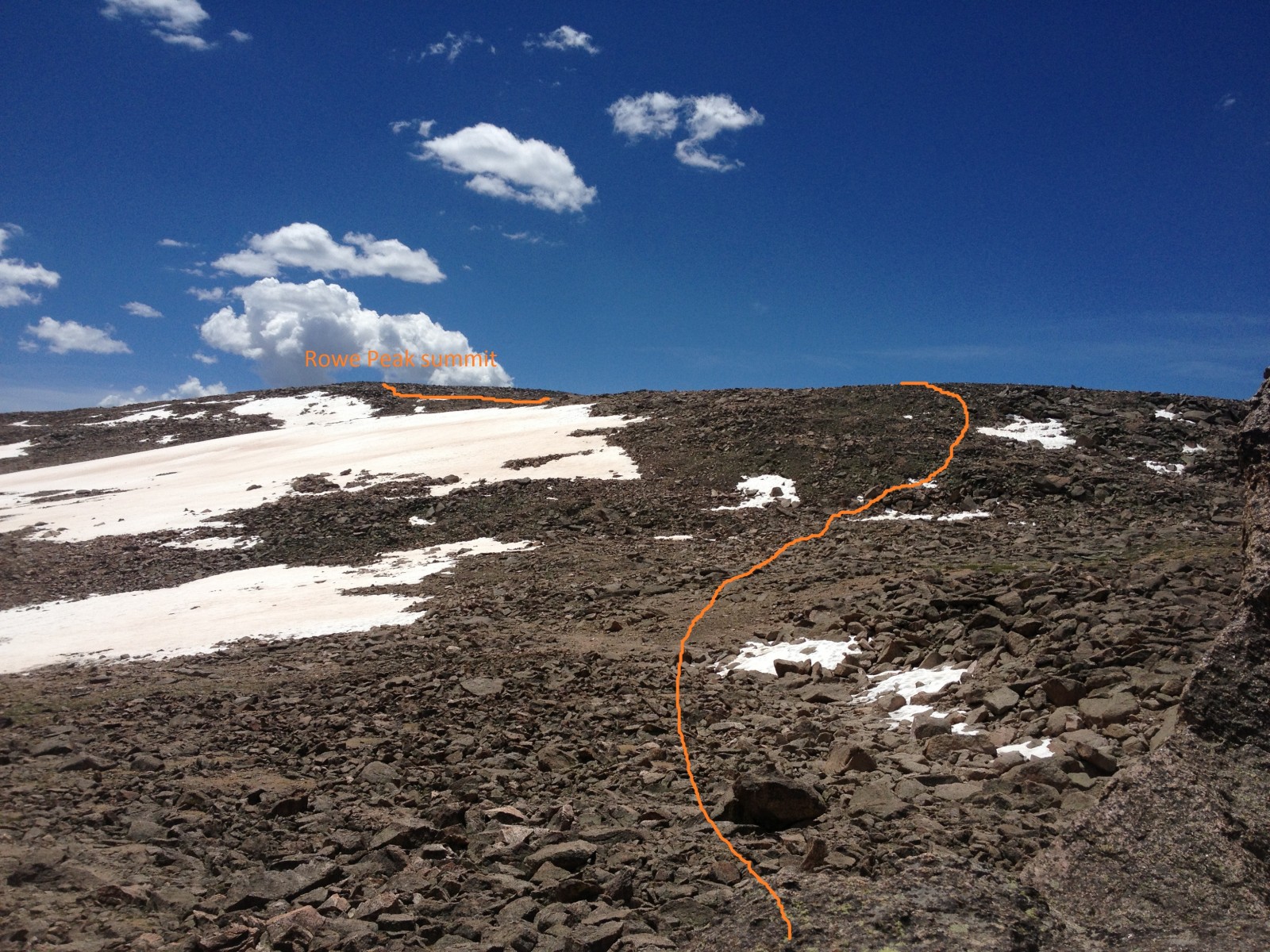
16 show the tundra ascent.
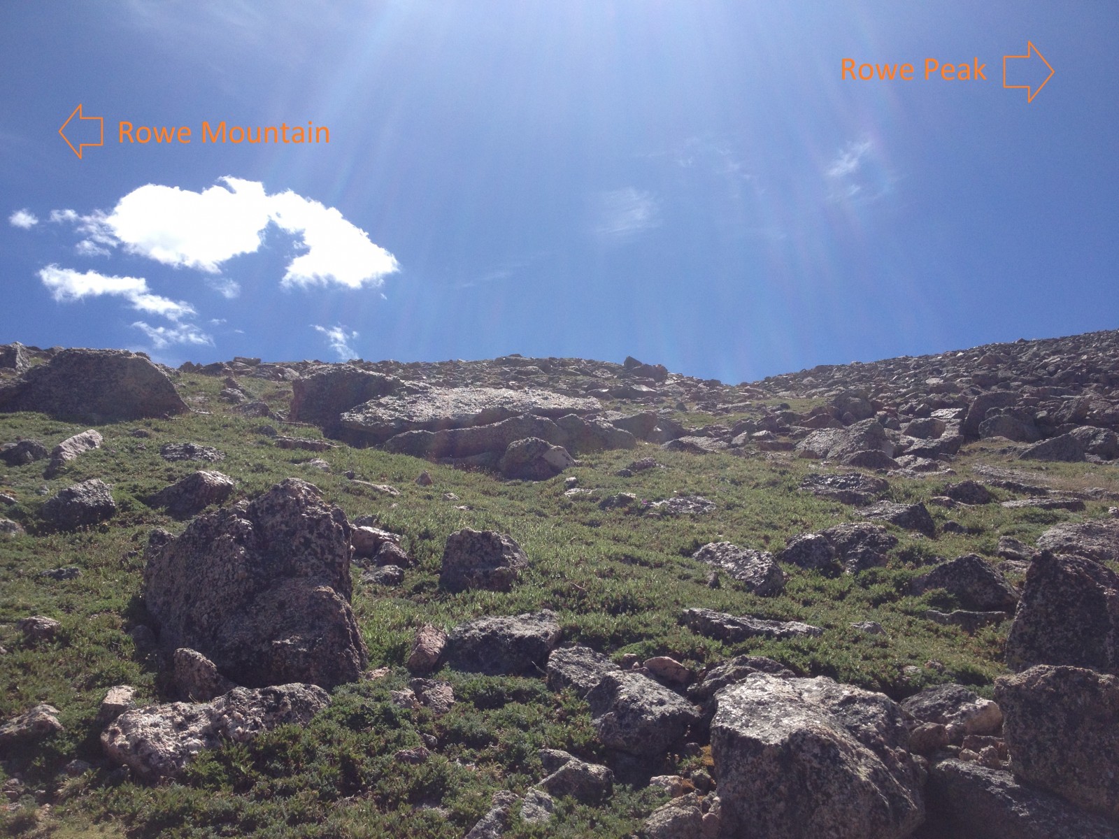
17 shows the route to the saddle between Rowe Mountain to the northeast and Rowe Peak to the southeast. Reach the saddle at 9.4 miles and 13,000 feet (
18).
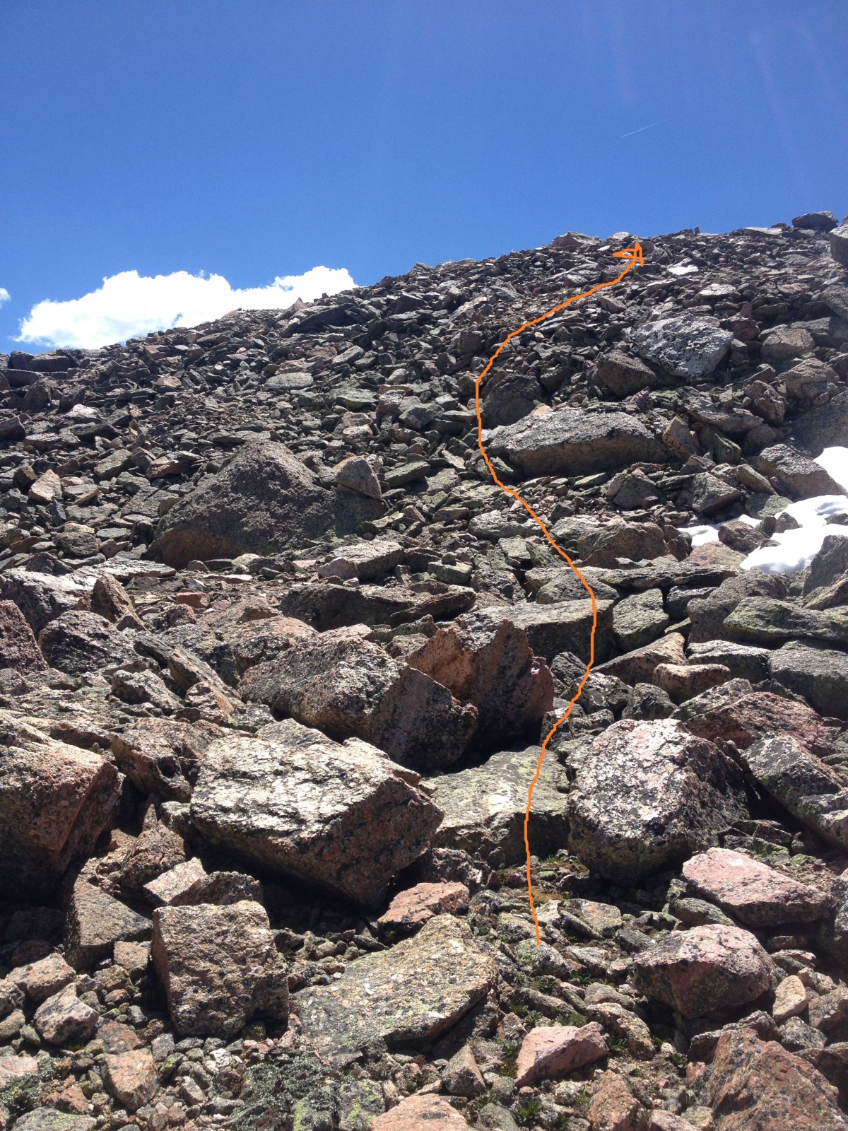
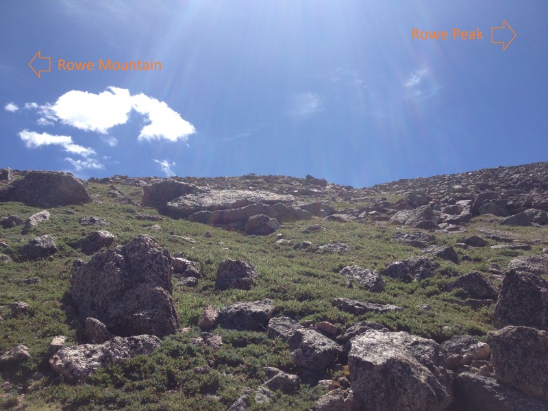
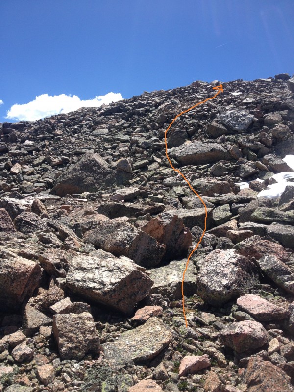
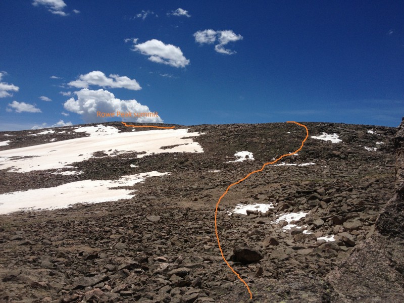
Head southeast up the slope toward the summit of Rowe Peak (
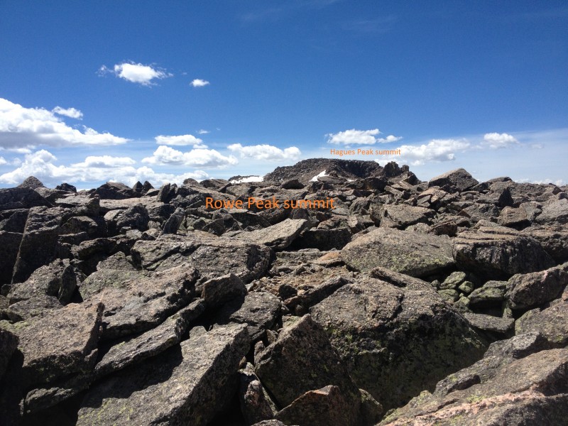
19). The terrain stays Class 2 all the way to the rounded summit (
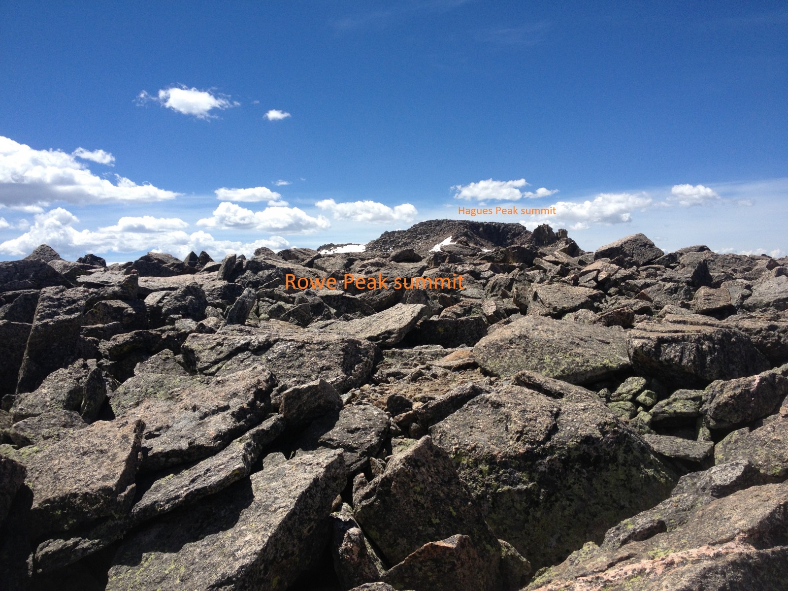
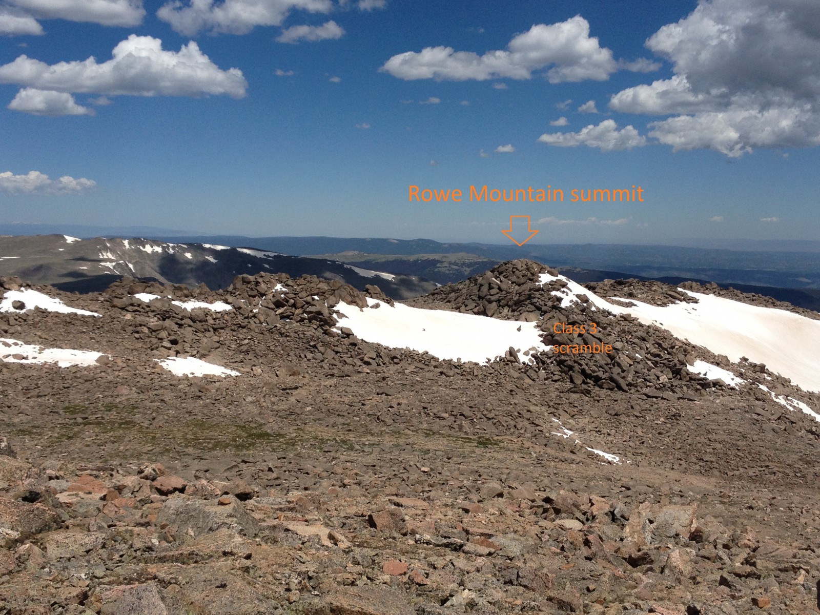
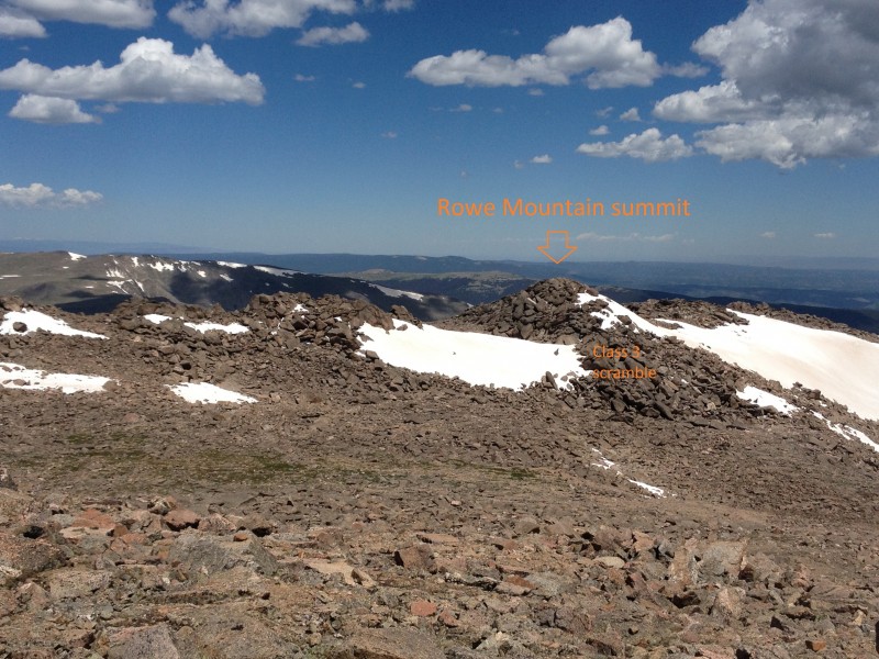
20) at 10 miles and 13,420 feet. Sign the rarely signed register and then head due north to pick up Rowe Mountain's summit on the return trip. From just above the saddle between Rowe Mountain and Rowe Peak it is easy to tell Rowe Mountain's true summit from the nearby sub-summits (
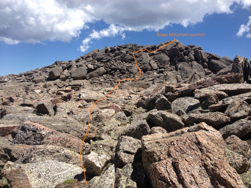
21). The most direct route is to descend slightly into the saddle at 13,100 and then ascend 85 feet of Class 3 scrambling to the summit.
22 looks back on Rowe Peak from the saddle and shows the route taken down to the base of the Rowe Mountain summit scramble.
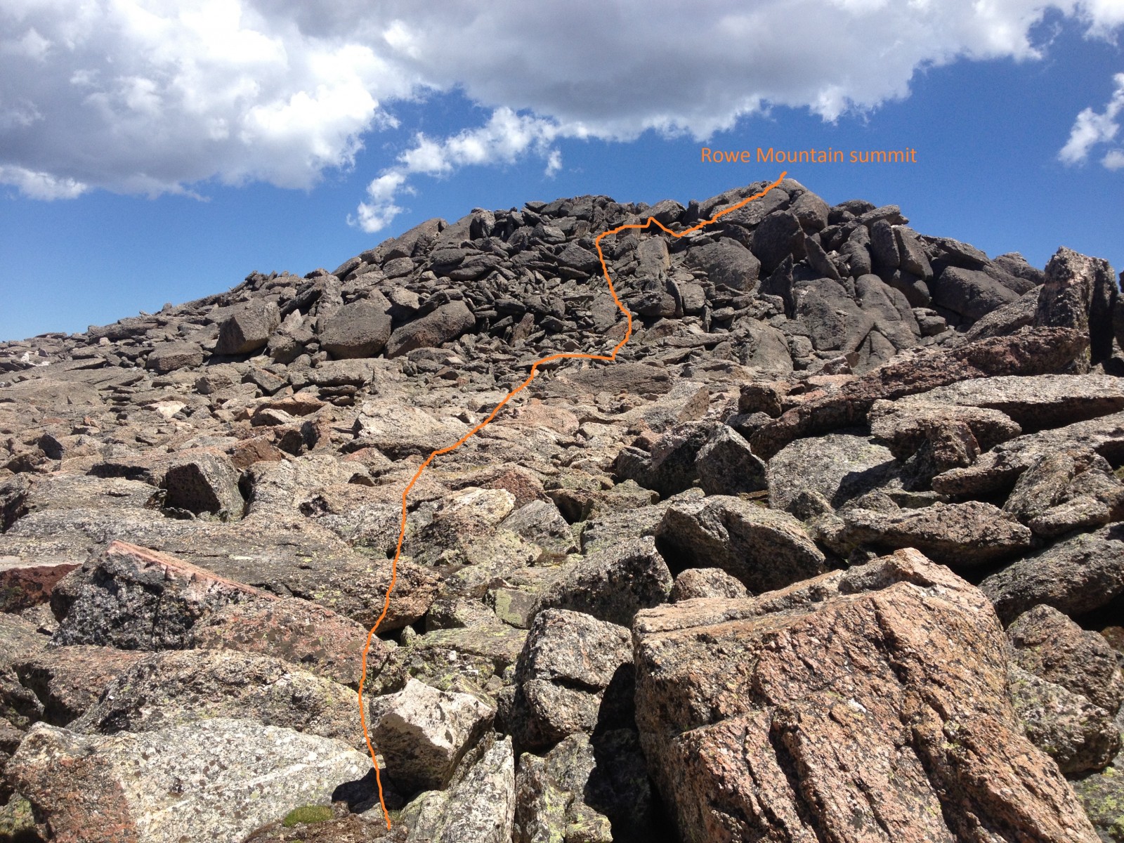
After attaining the Rowe Mountain summit at around 10.5 miles, head northwest off the summit across difficult Class 2 rock (
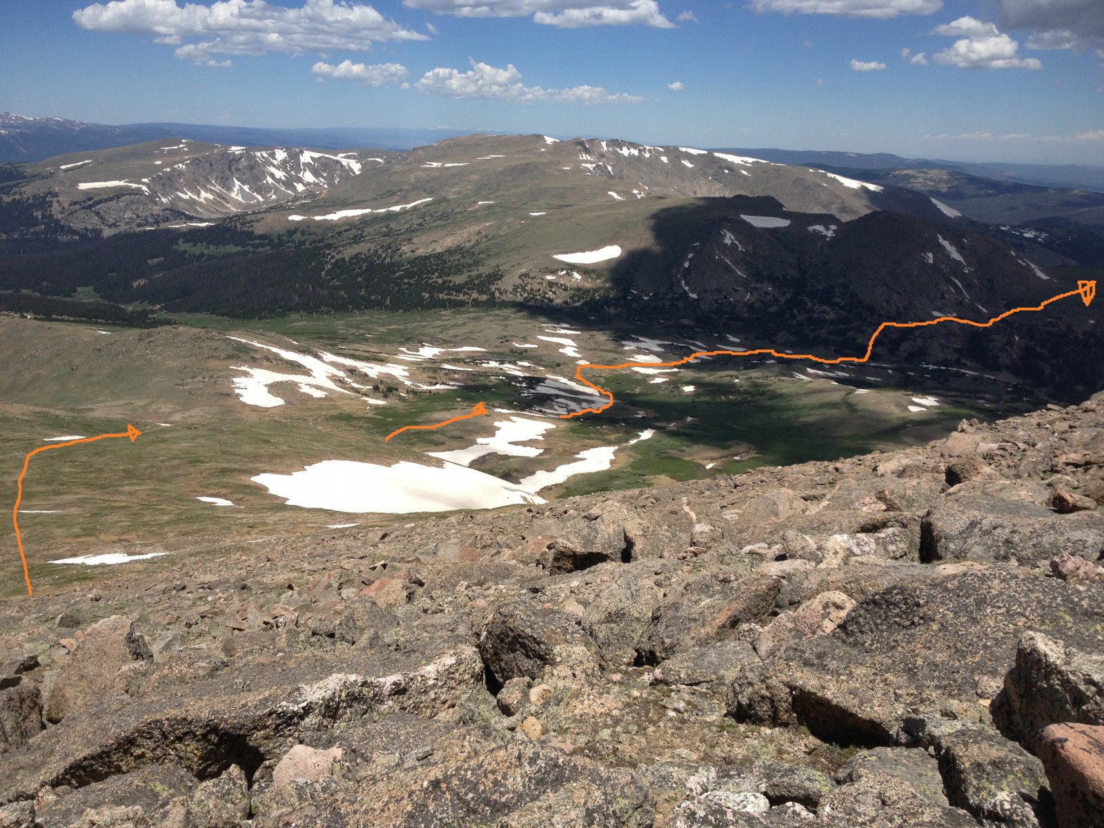
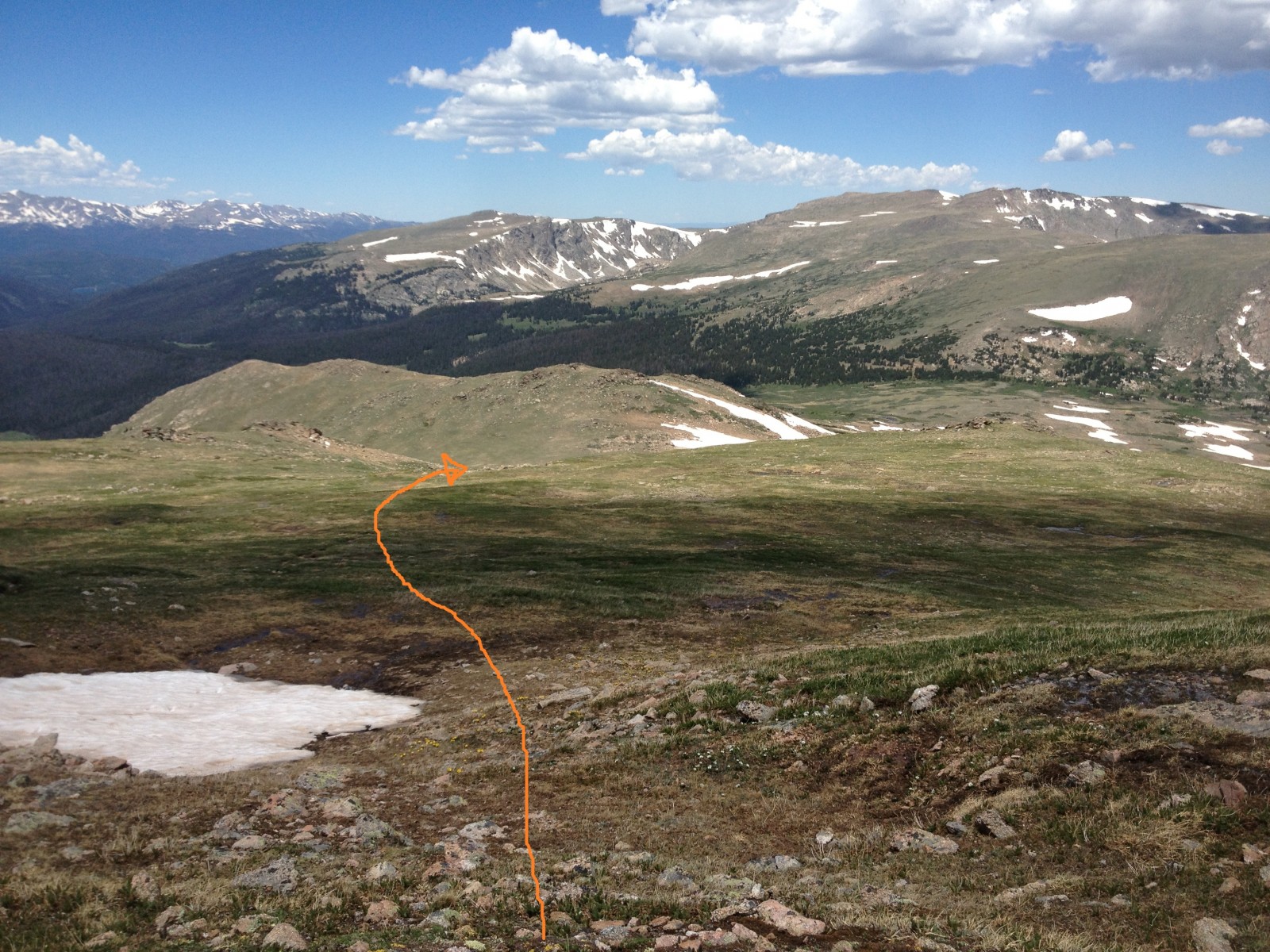
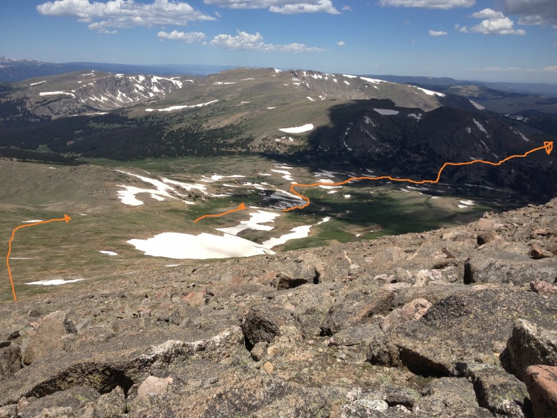
23) to get back to the western part of the saddle. Observe the route back to Mummy Pass from this vantage point (
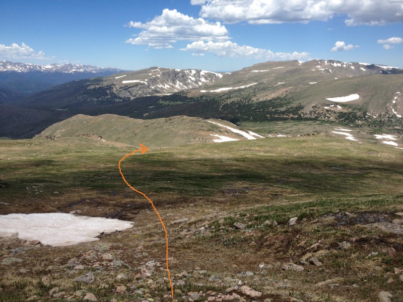
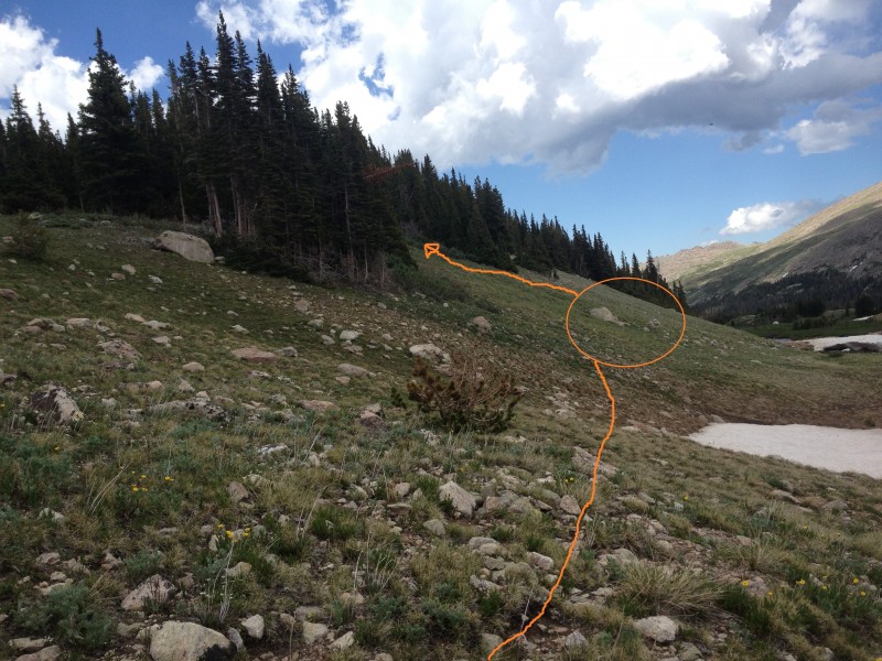
24). Be sure to take the correct drainage on descent (
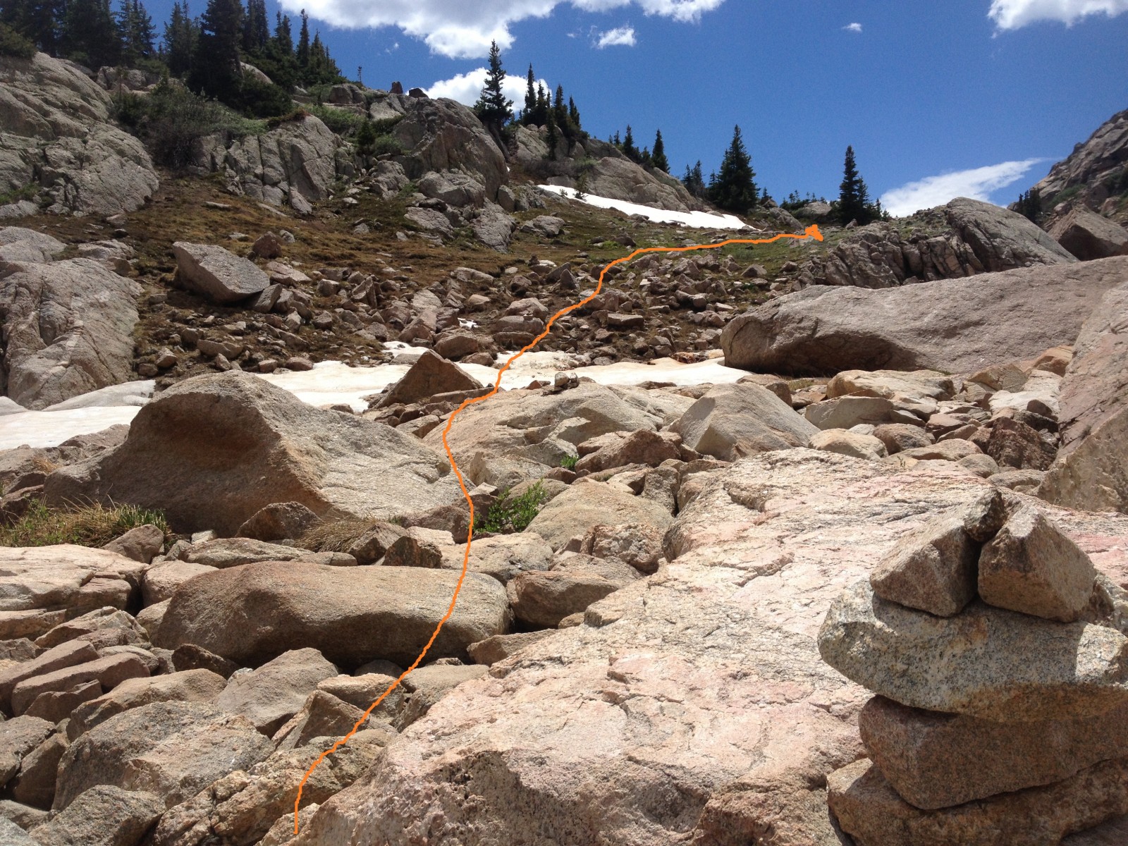
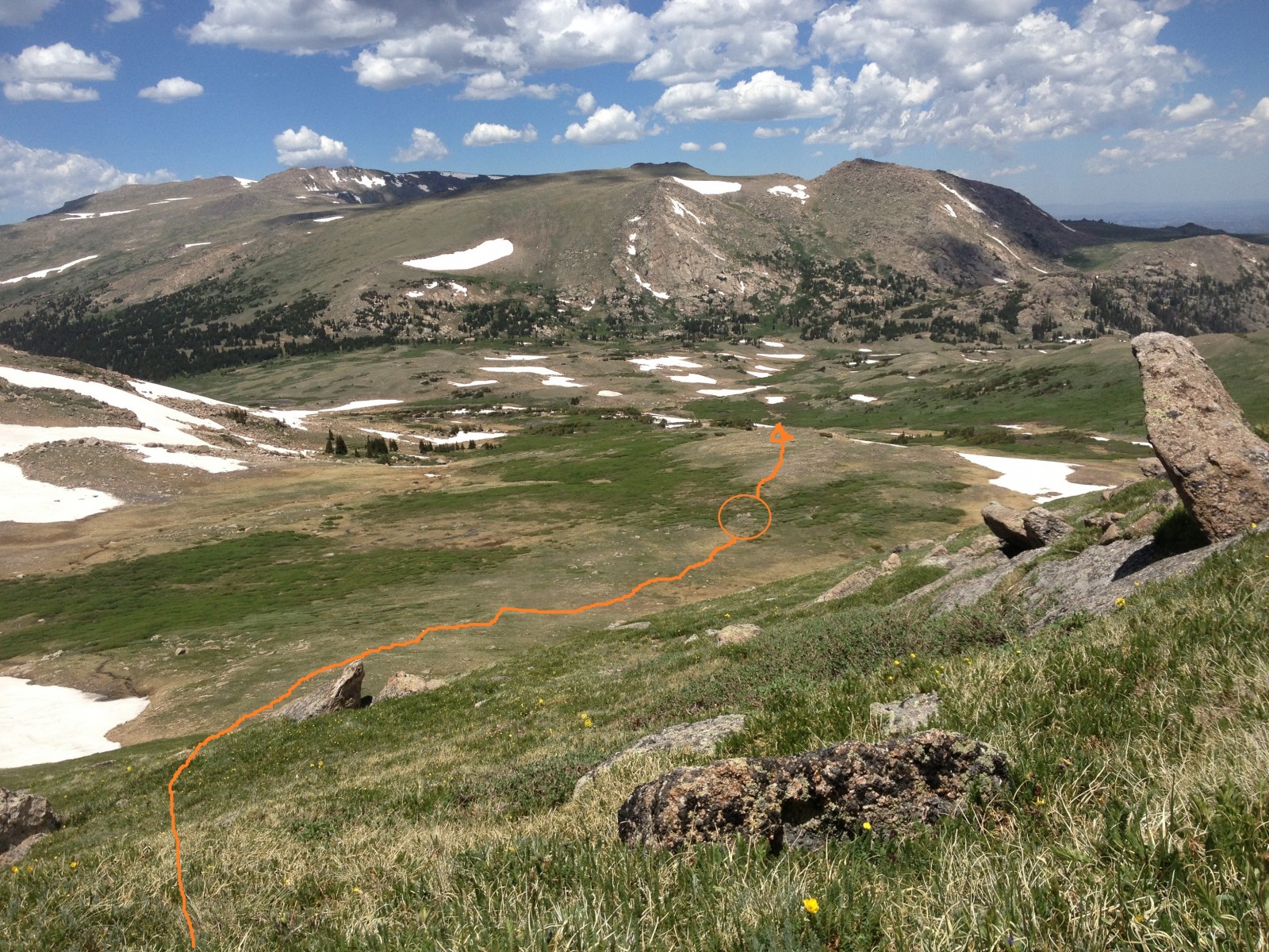
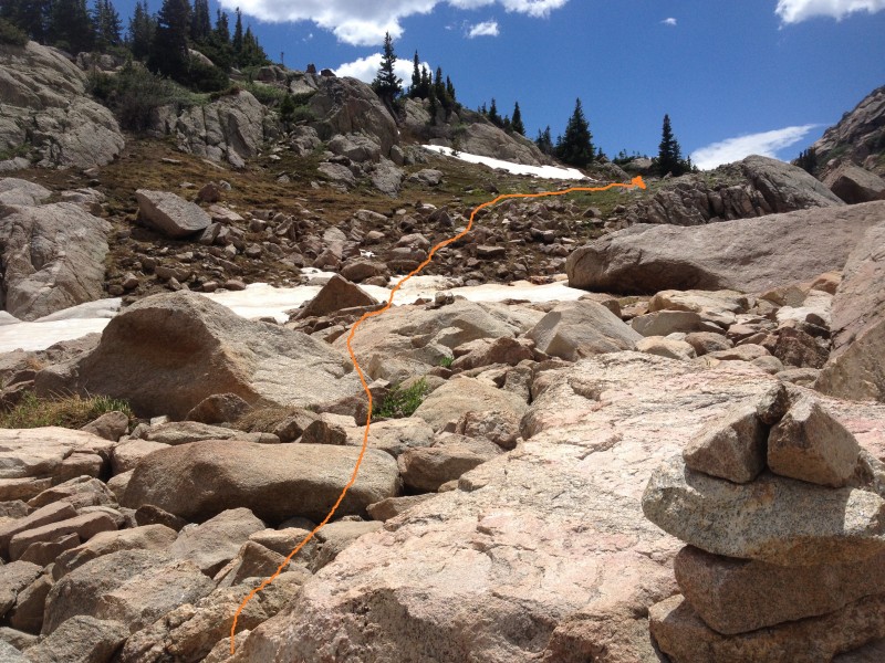
25) and use marker rocks (
26) to navigate down to the river source.
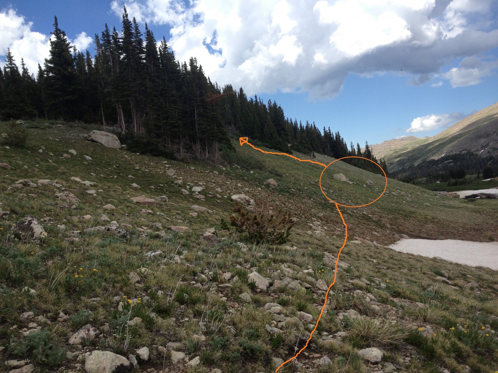
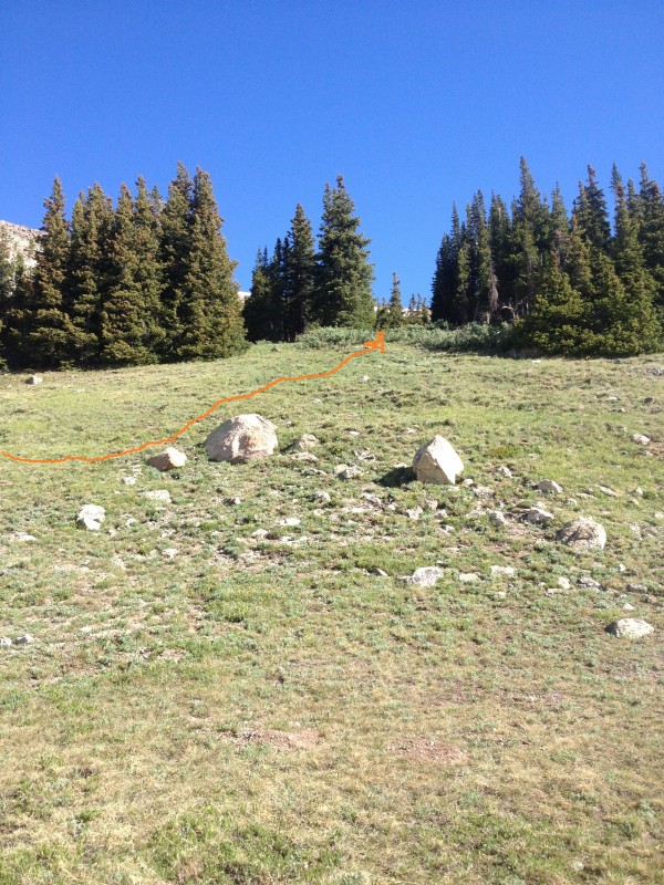
Cross the river source area and head east. At around 13 miles total, look for marker rocks (
27) to select the right point to ascend.
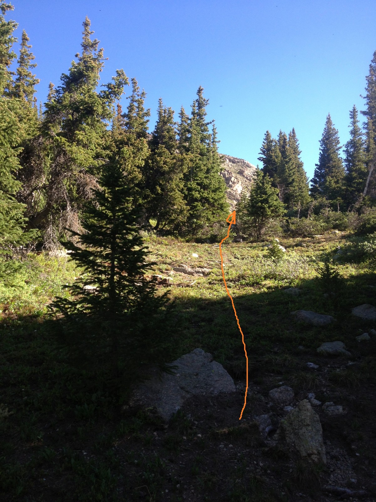
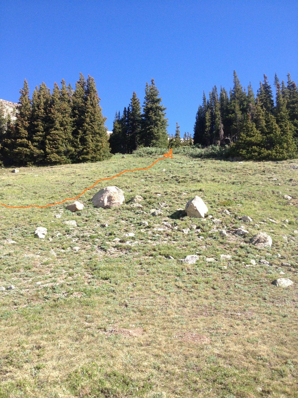
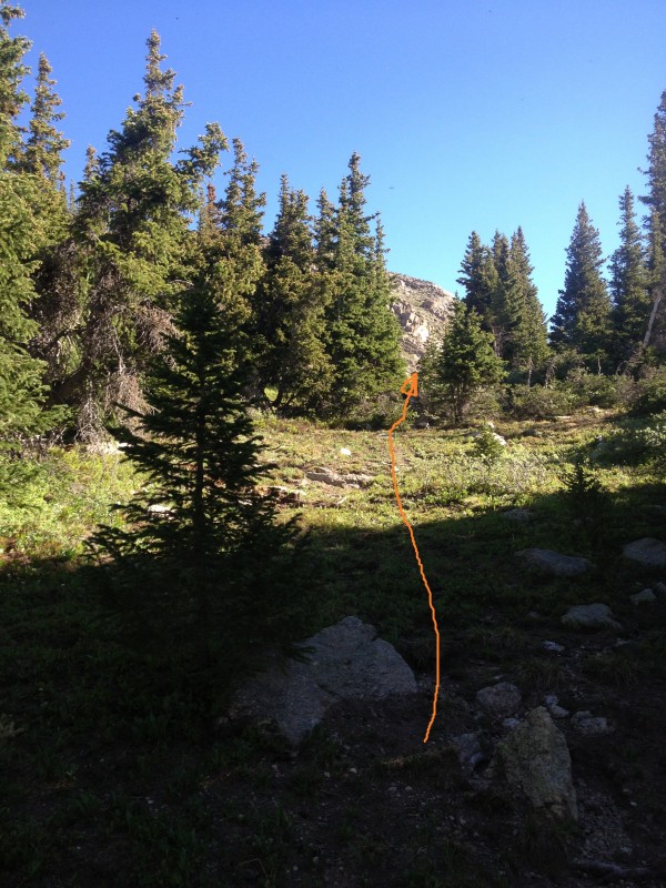
29 is another and more distinct view of the same rocks, from directly below them by the river. Ascend the drainage (
28) to return to the Mummy Pass Trail near the pond, and take the Mummy Pass trail back to the trailhead.




 GPX
GPX