Log In 
Photo

Horseshoe Mountain

Boudoir Couloir
Difficulty Difficult Class 2 
Snow Steepness: Moderate 
Start11,600 feet
Summit13,918 feet
Total Gain2,350 feet
RT Length6 miles
Last UpdatedMay 2023
DownloadsgpxGPX File
Show More
Photo
Snow Only Route
This route should only be climbed with consolidated, stable snow, usually in spring or early summer. In mid-winter, many snow routes have frequent risk of avalanche.

Trailhead

From Fairplay, drive just over a mile south on U.S. 285 and turn right onto County Road 18. Drive 10 miles and pass the Leavick site, at 11,250'. Continue another 2 miles to reach the trailhead at a gate and small parking area. The road becomes a bit more rough as you approach the end, but it's usually ok for most SUVs and good clearance vehicles. If this upper lot is full, you will see it as you approach and can park in one of the pull-offs lower down the road.

Route Description

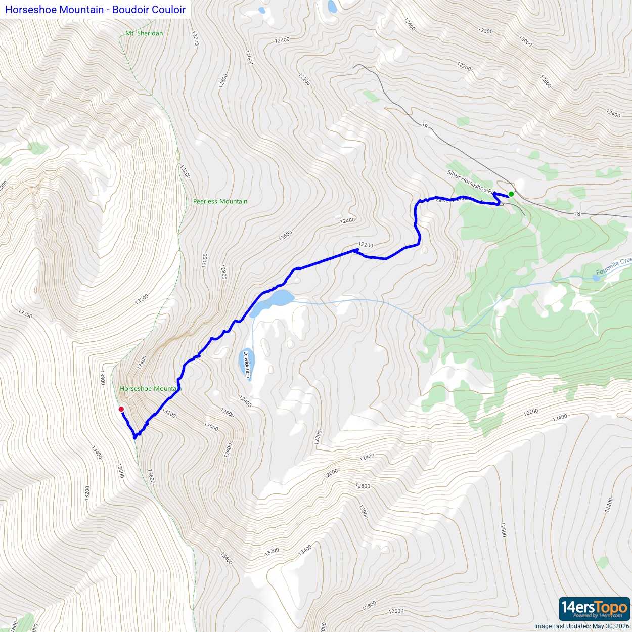
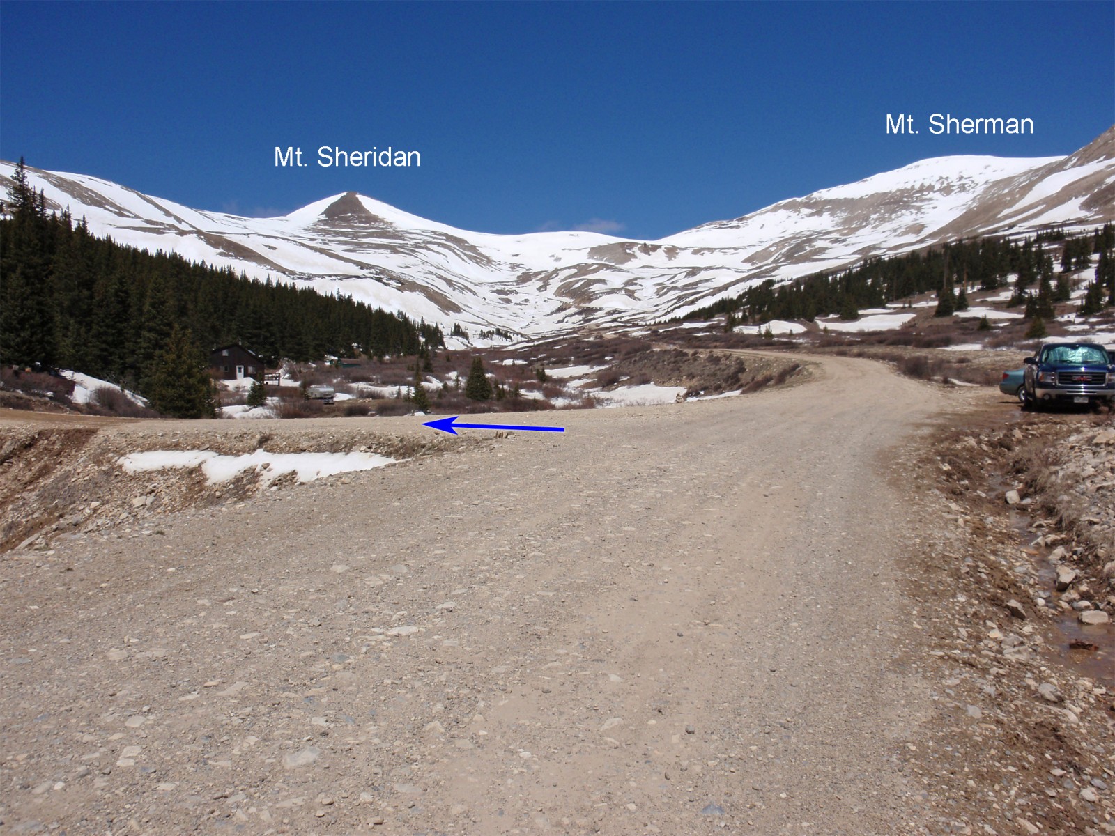
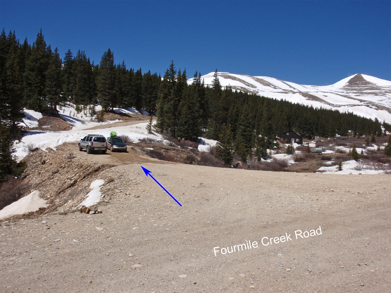
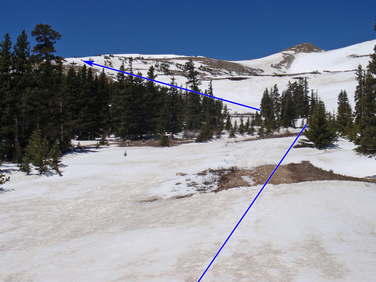
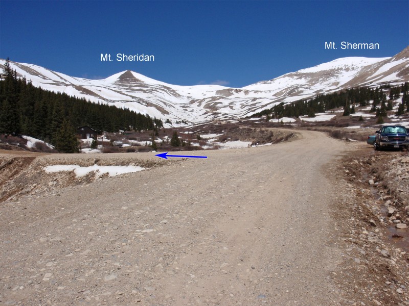
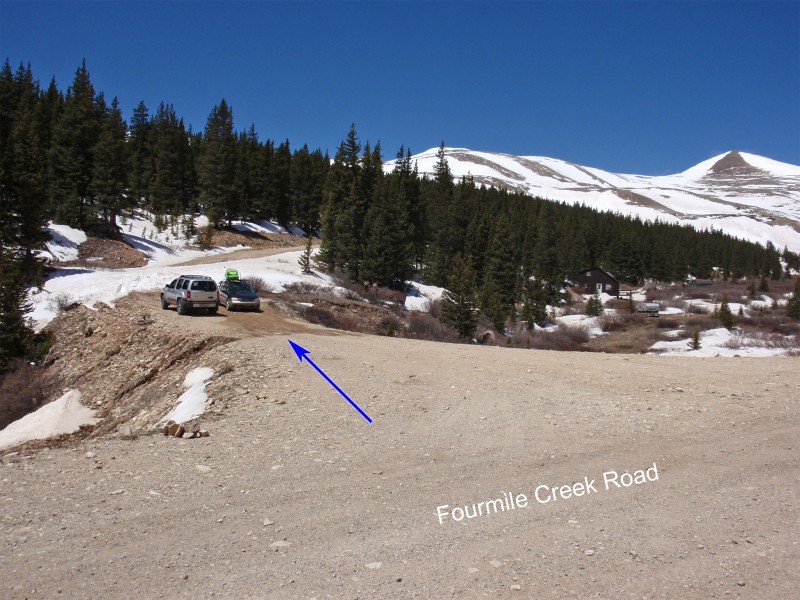
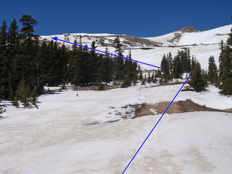
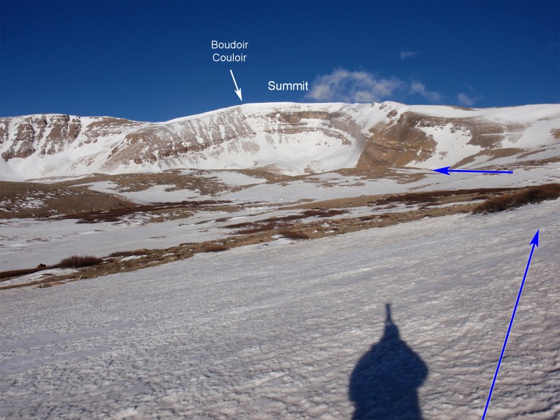
While driving up the Fourmile Creek road, locate a 4wd road on the left, near 11,600' and approx. 0.75 mile past the Leavick site -  1 and  2. Park here or continue up the road if it's dry. Either way, continue 0.5 mile up this road to a point where it takes a sharp left. Continue left on the road or take a more direct line southwest ( 3) and you'll get your first view of Horseshoe, near 12,100' -  4.

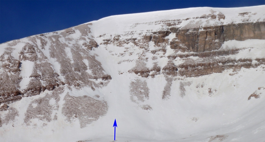
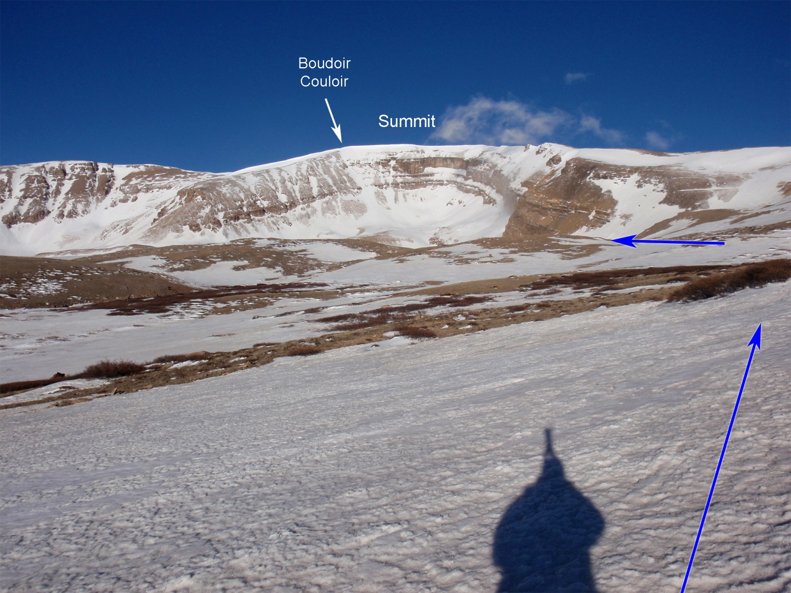
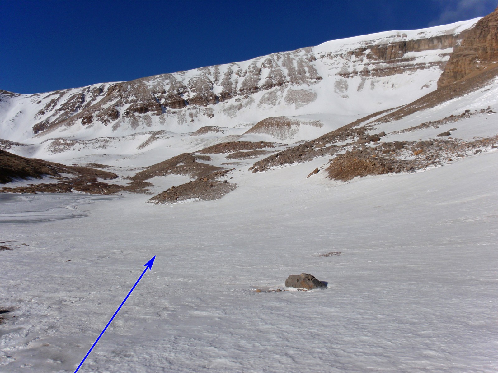
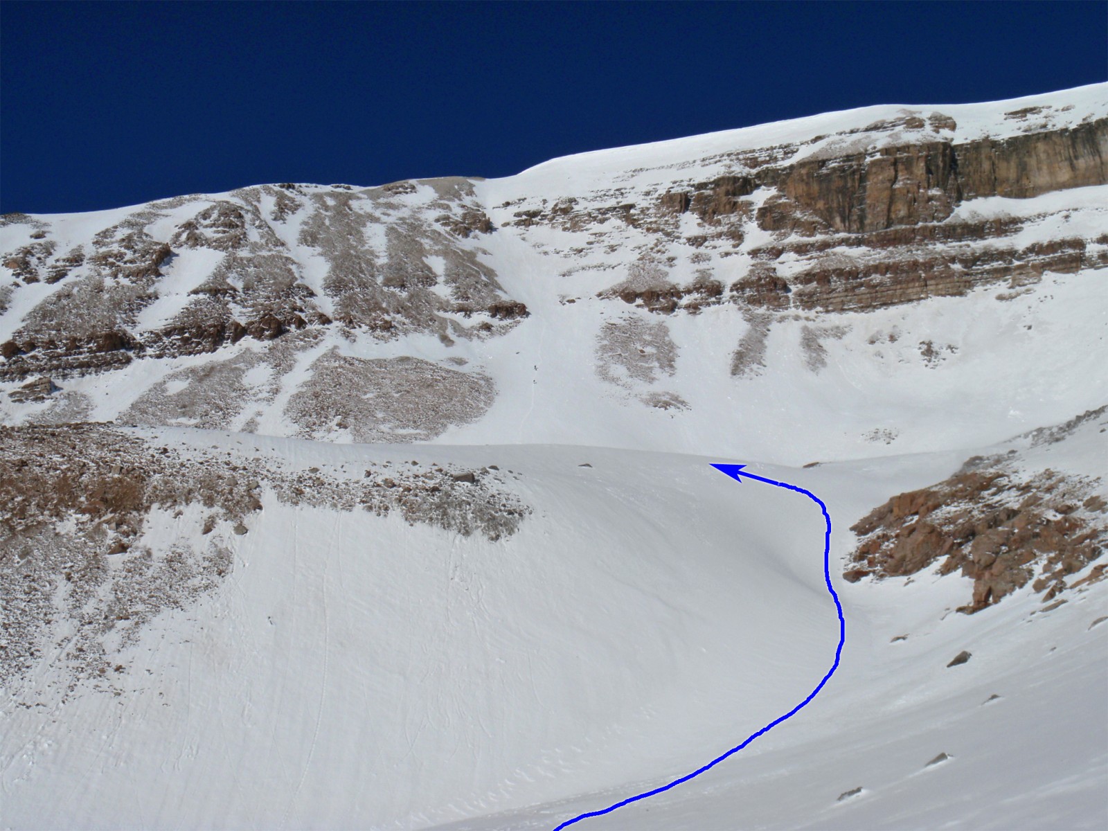
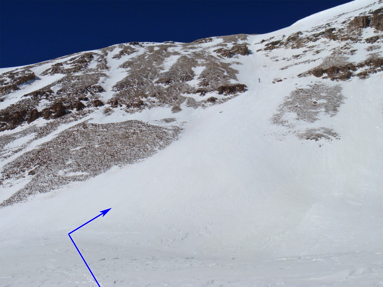
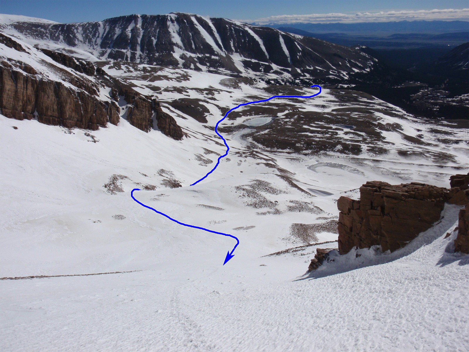
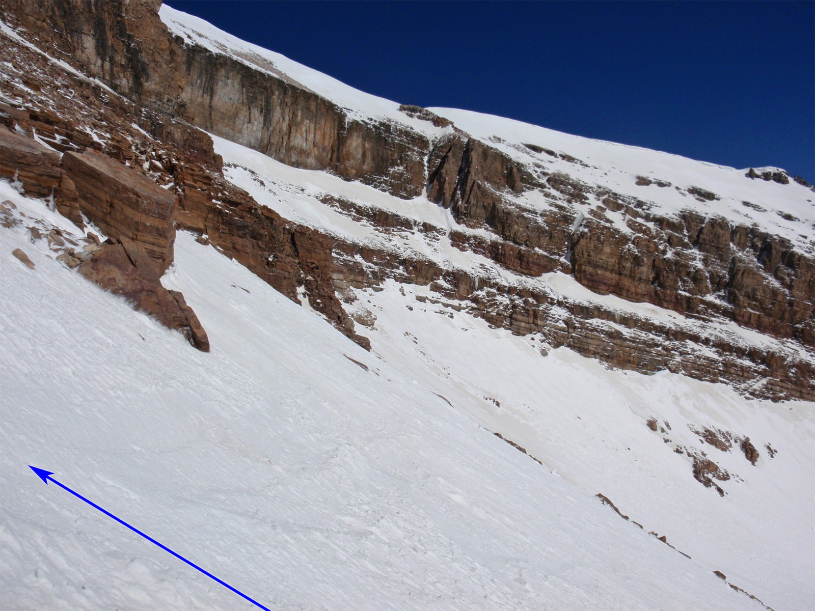
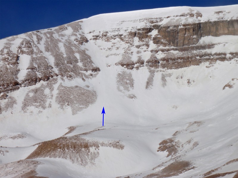
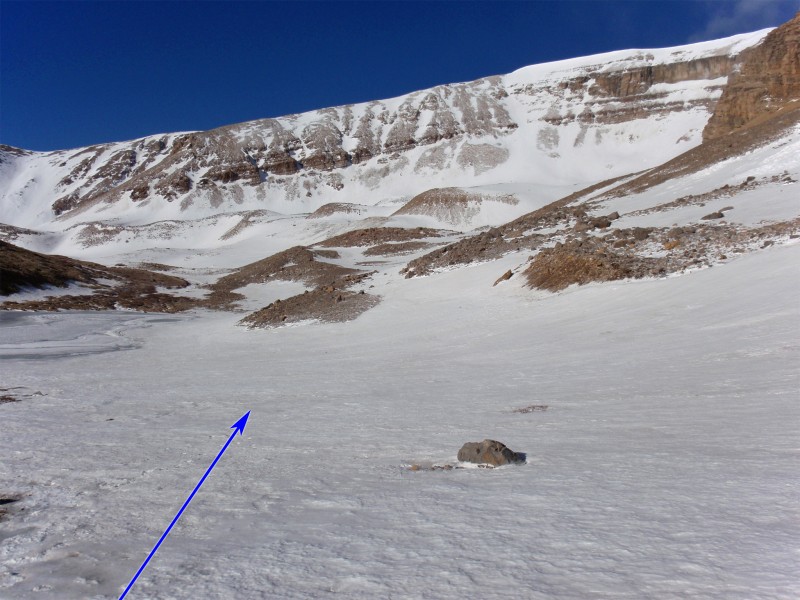
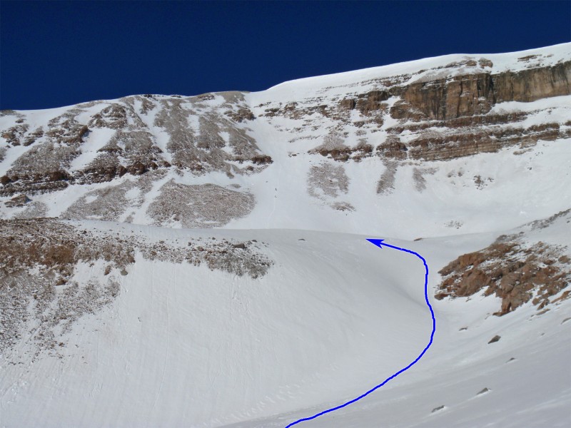
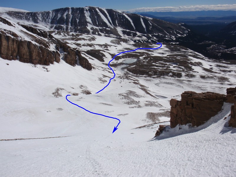
Follow the road west to approx. 12,300' until you can see the small lakes just east of Horseshoe. You'll also have a nice, head-one view of Boudoir Couloir -  5. Leave the road and traverse southwest toward Boudoir and the large, horseshoe-shaped cirque -  6. Continue your southwest traverse above the lakes, ascend a large rock heap ( 7) and walk over to the base of Boudoir -  8 and  9.

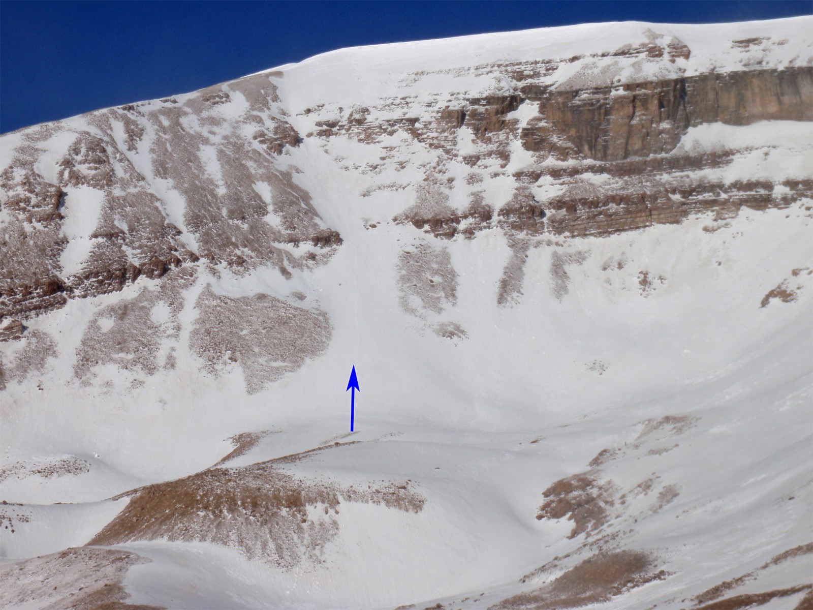
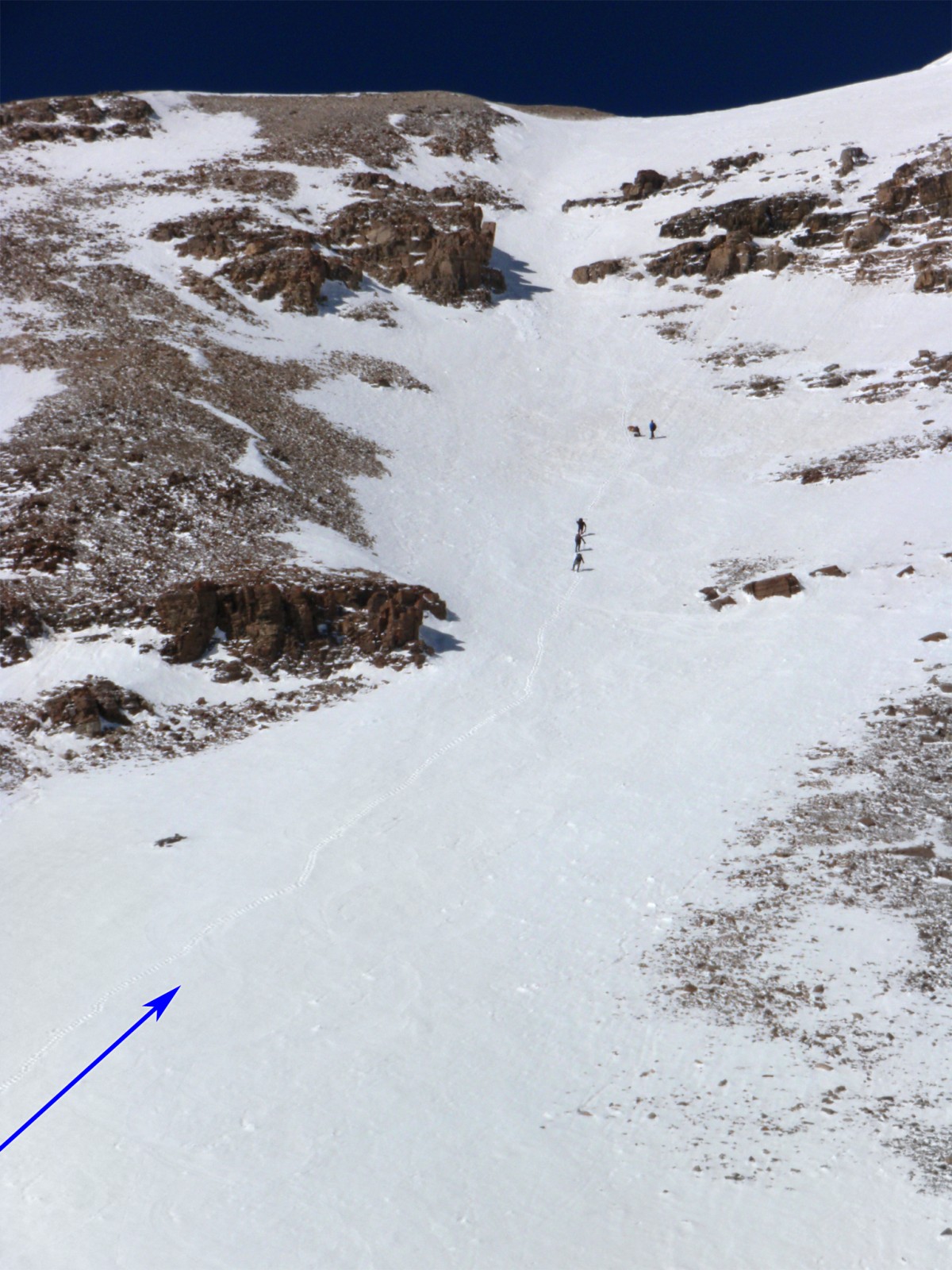
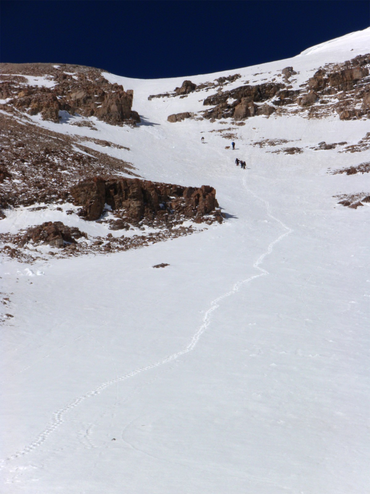
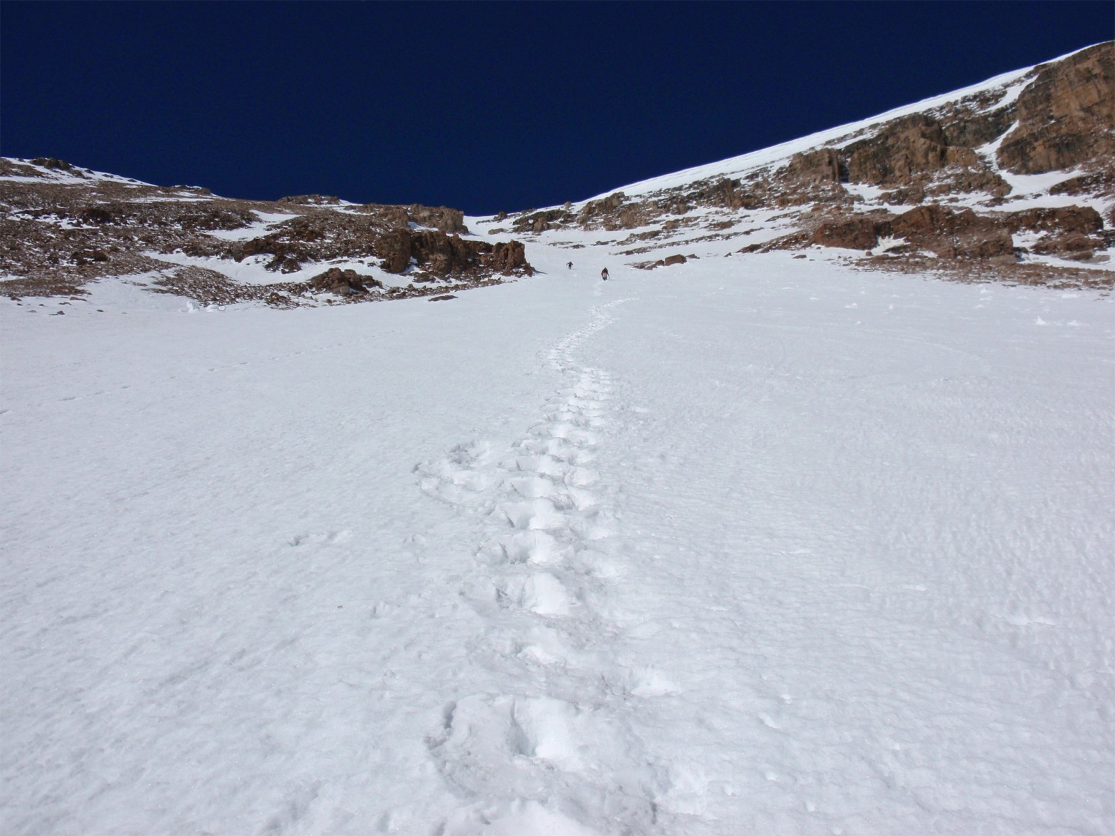
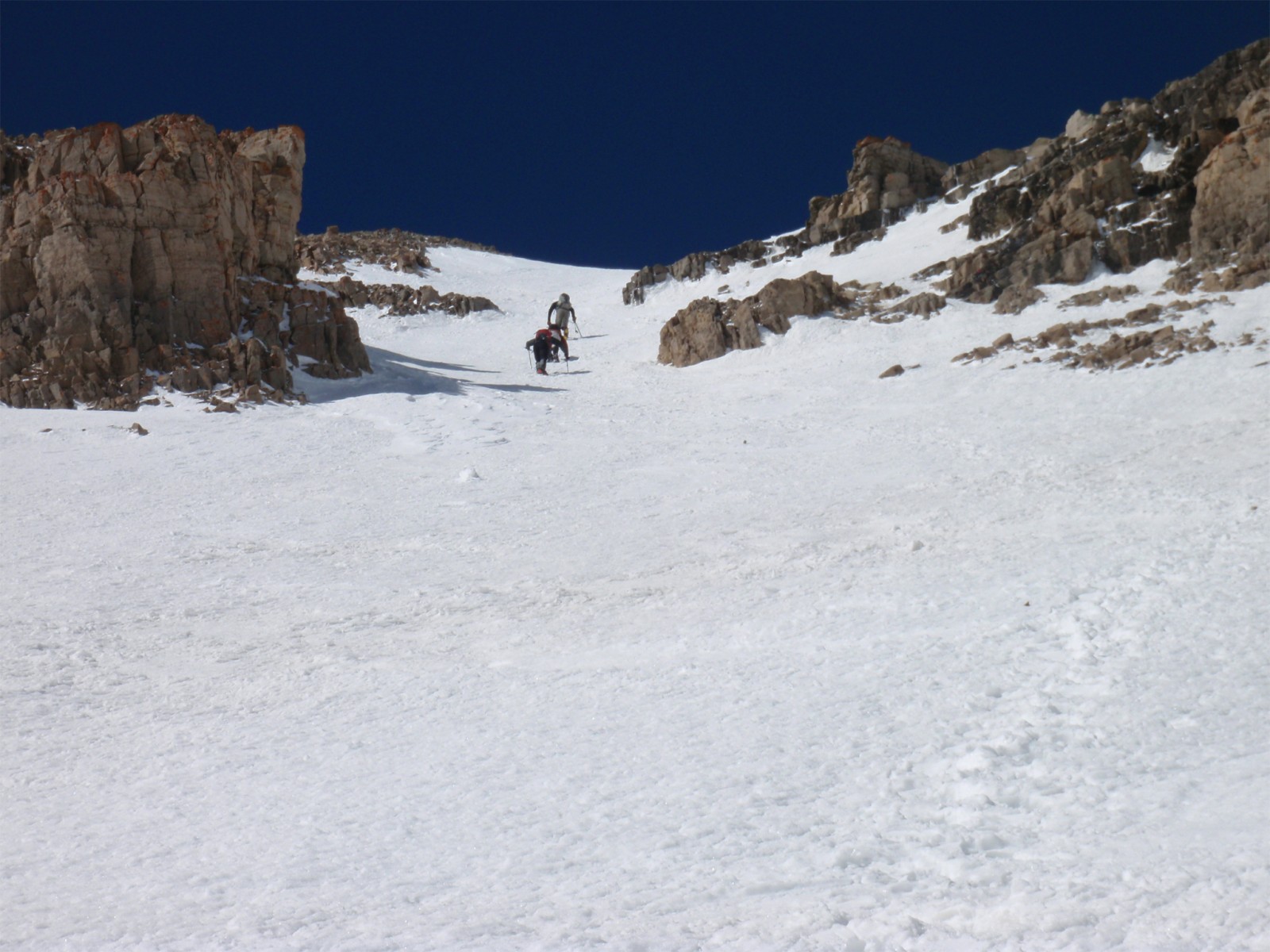
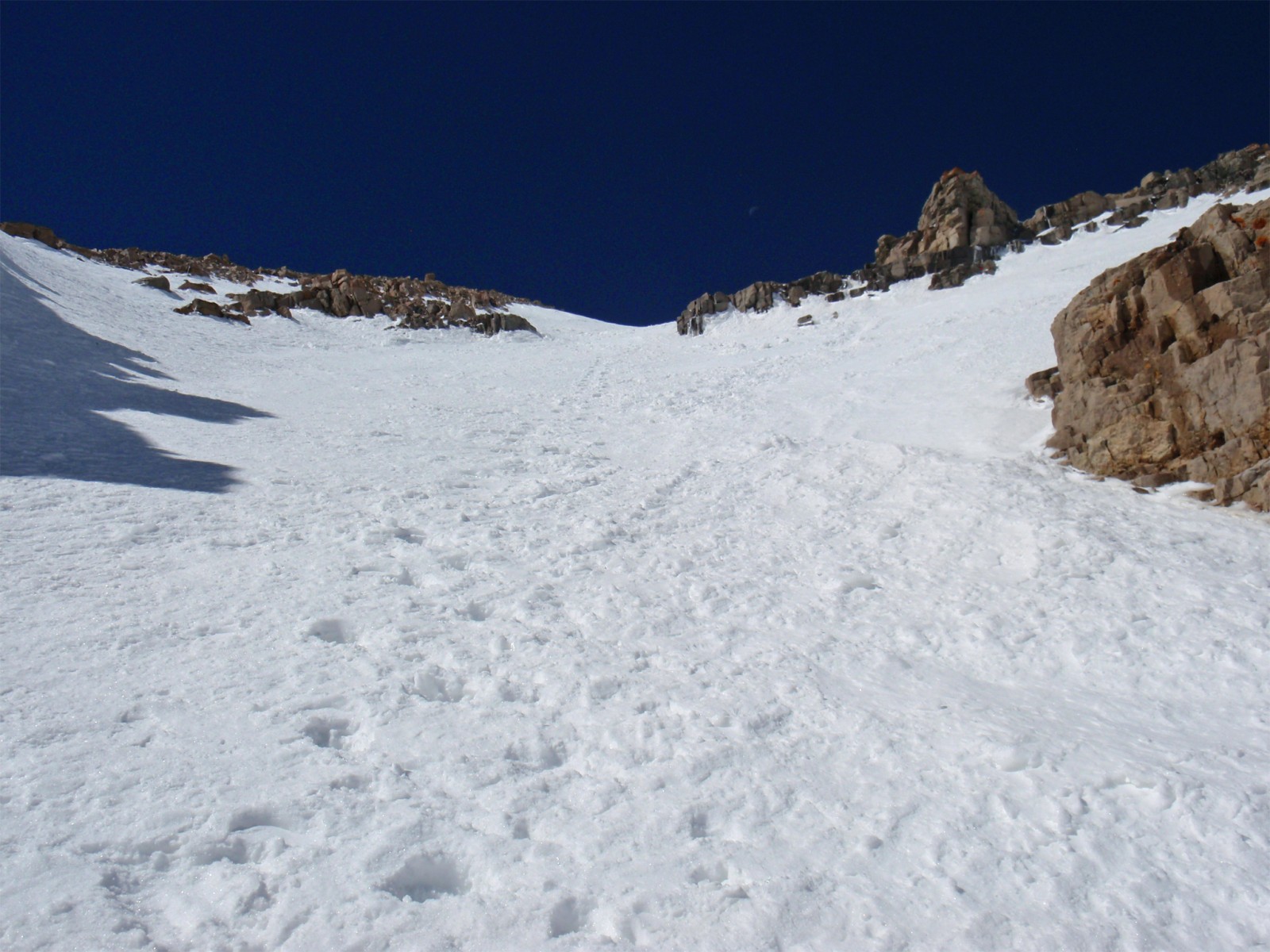
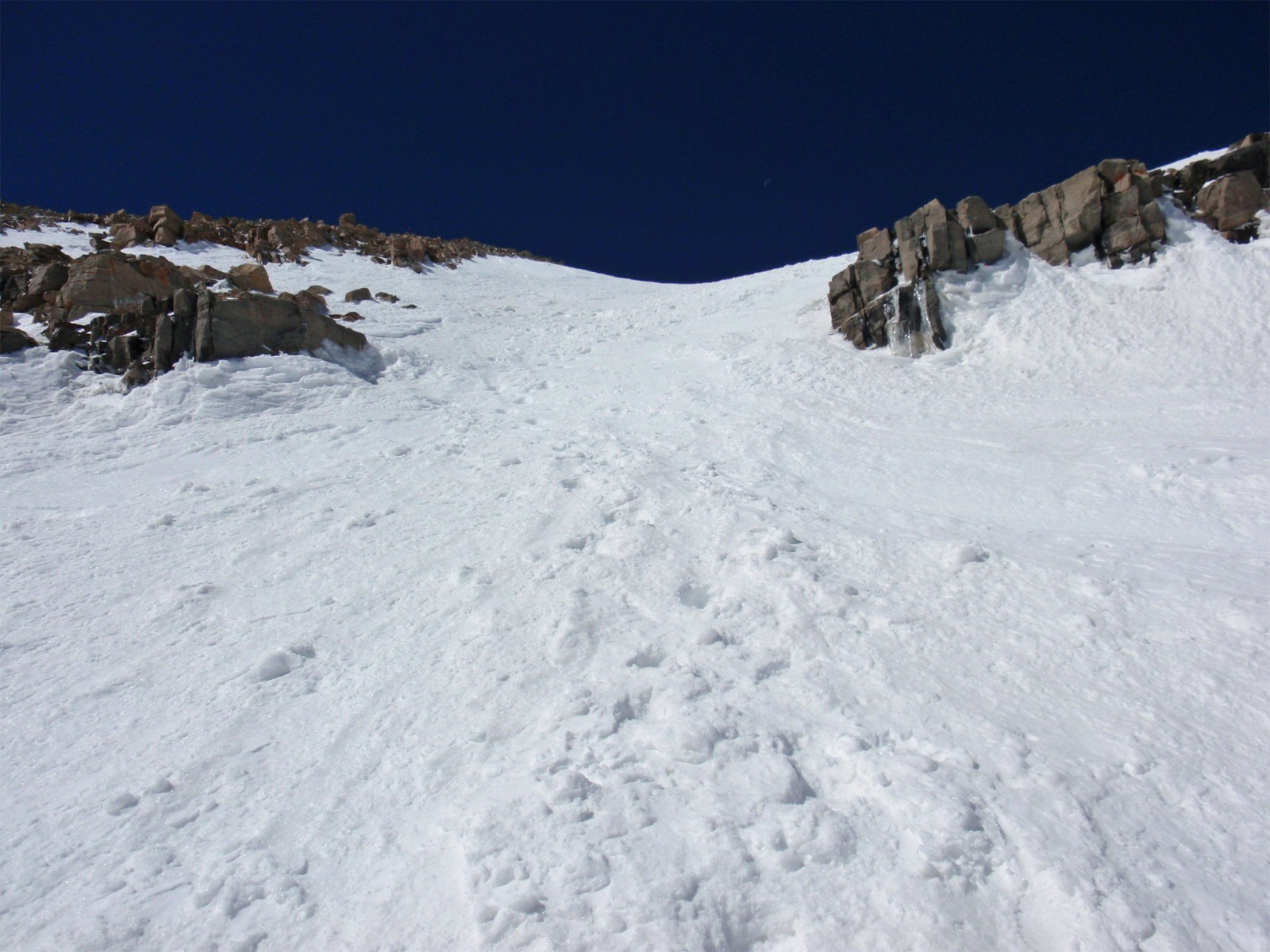
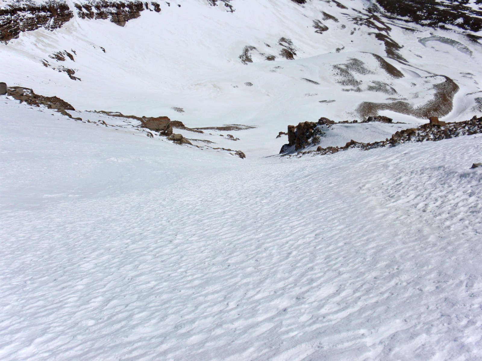
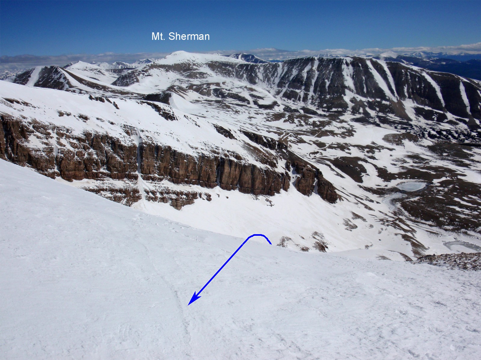
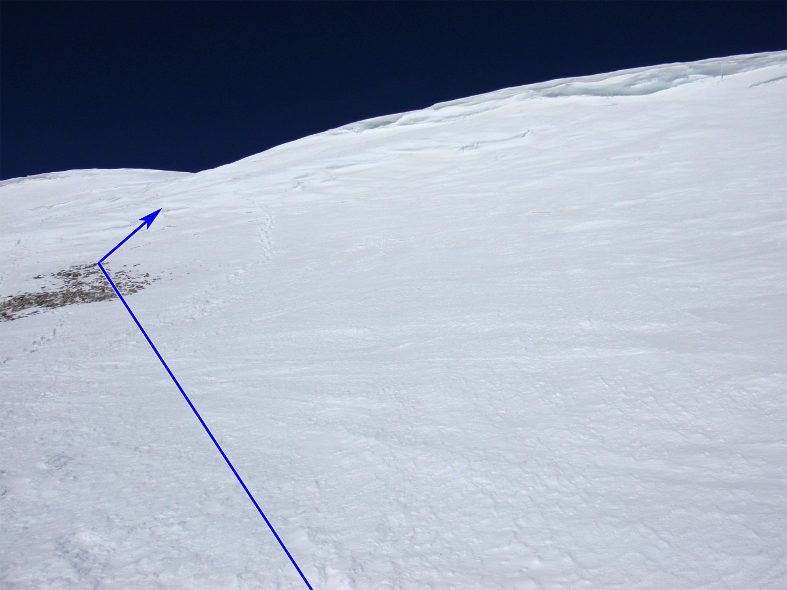
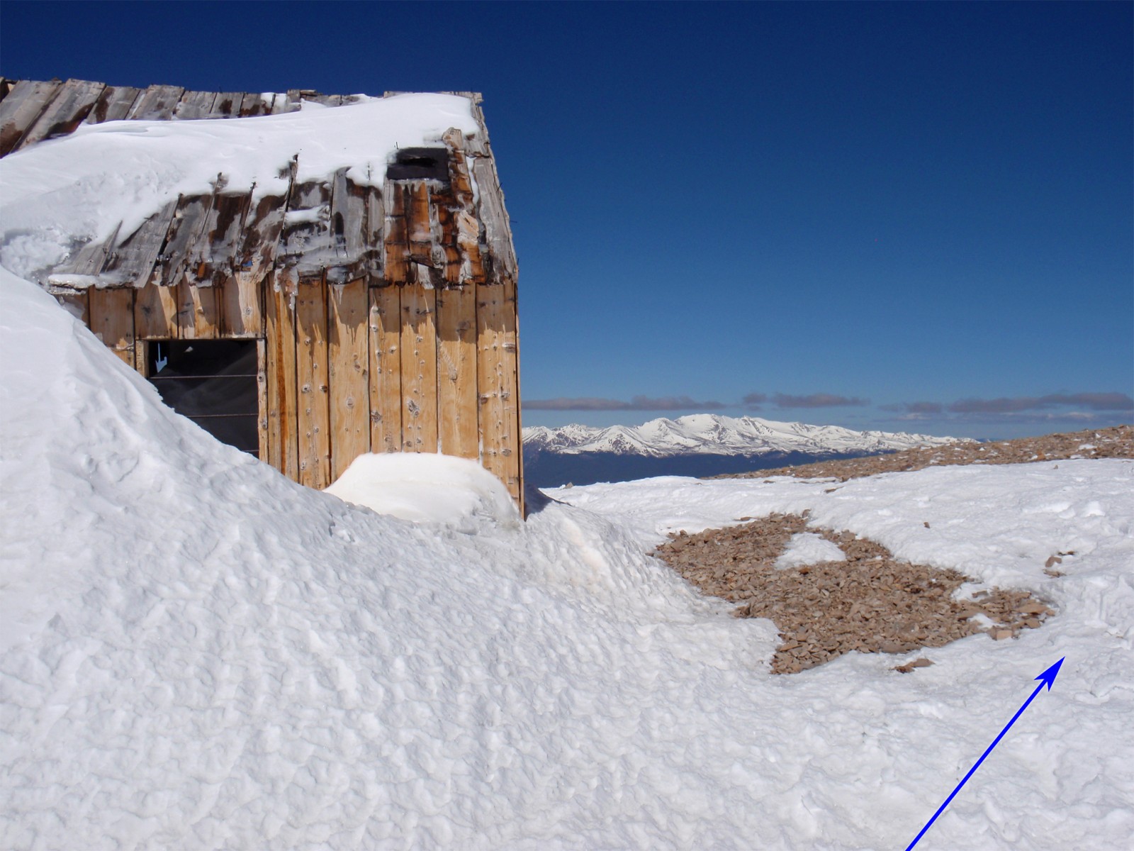
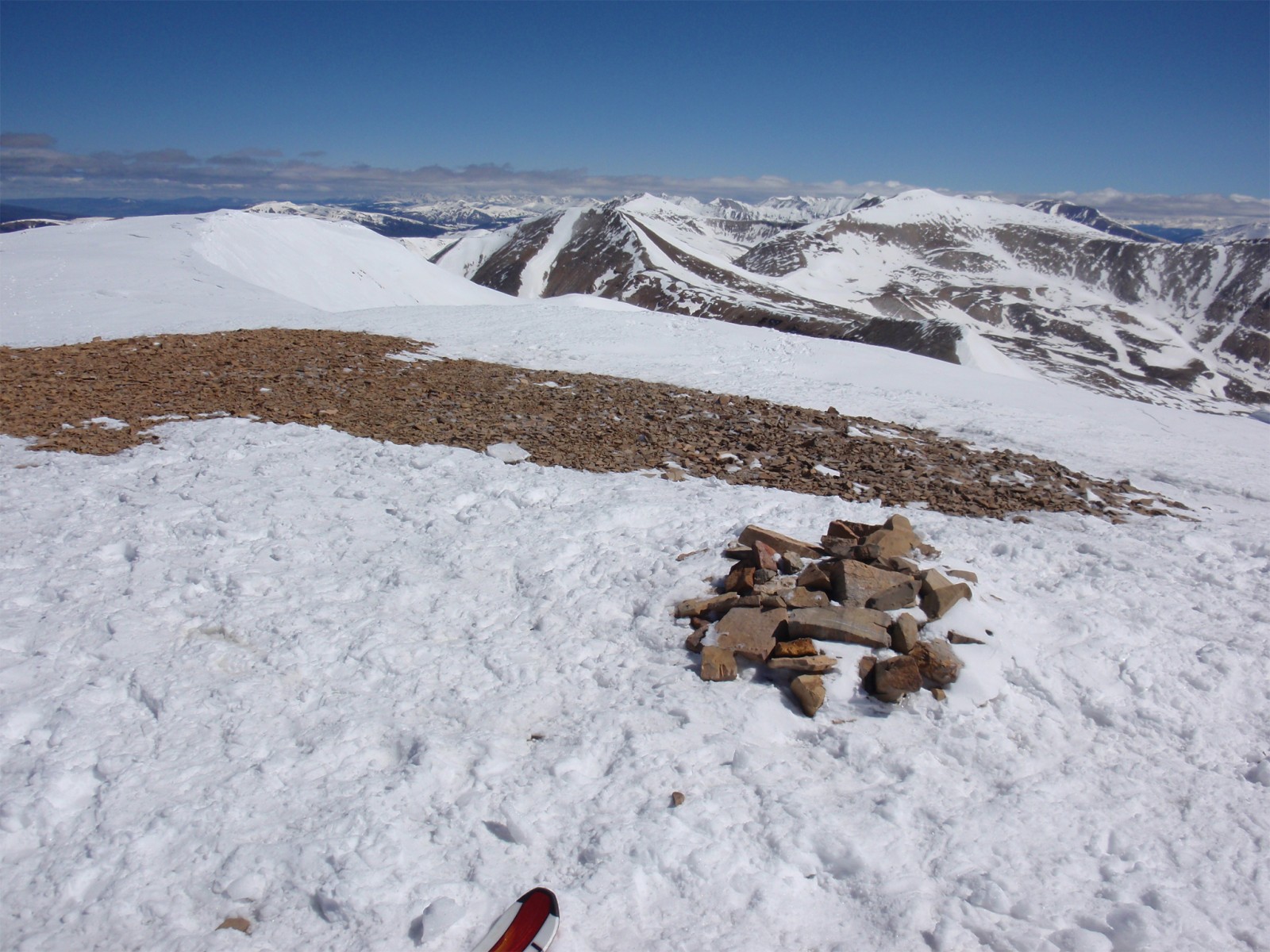
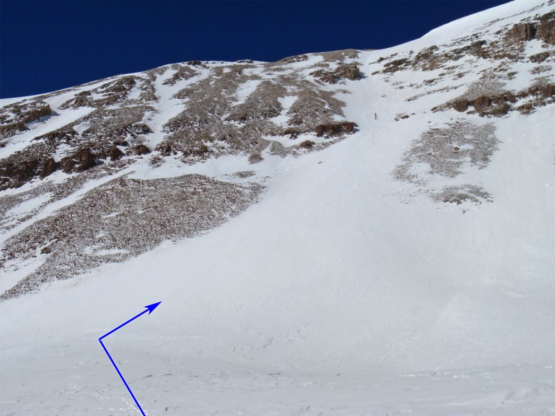
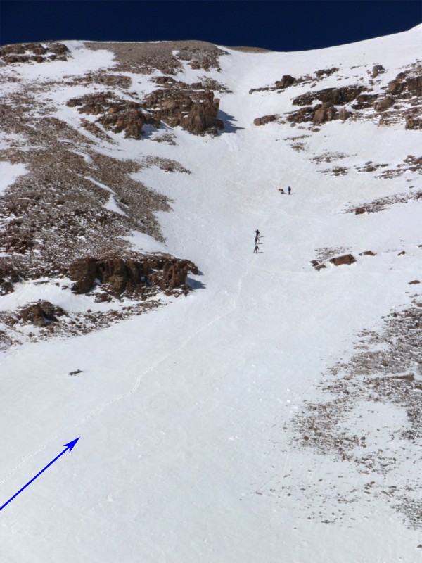
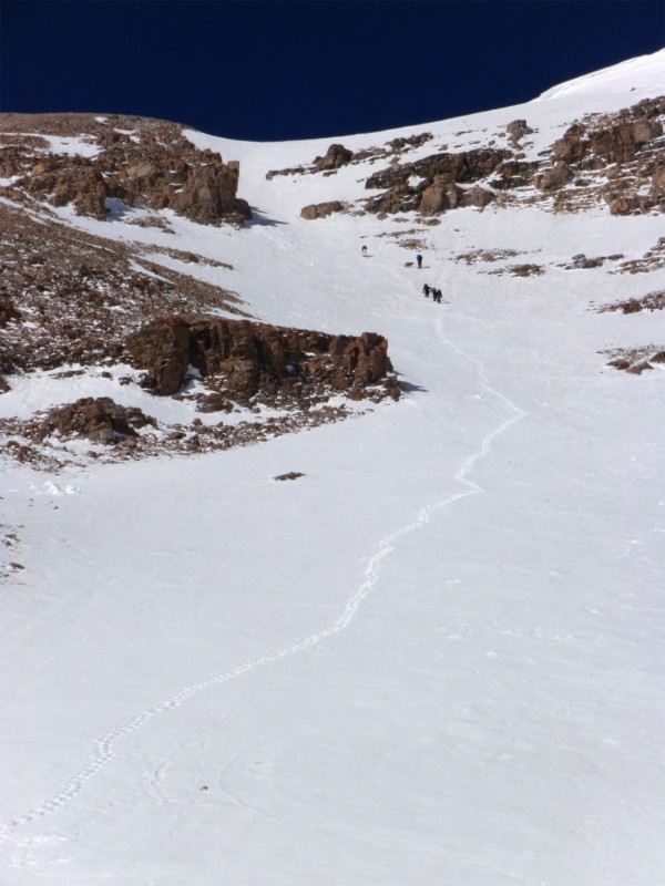
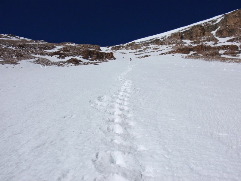
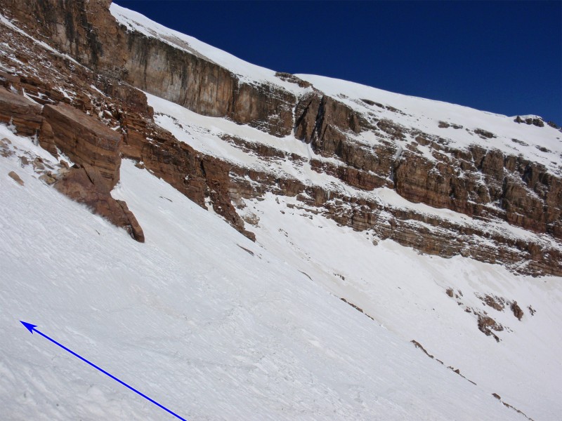
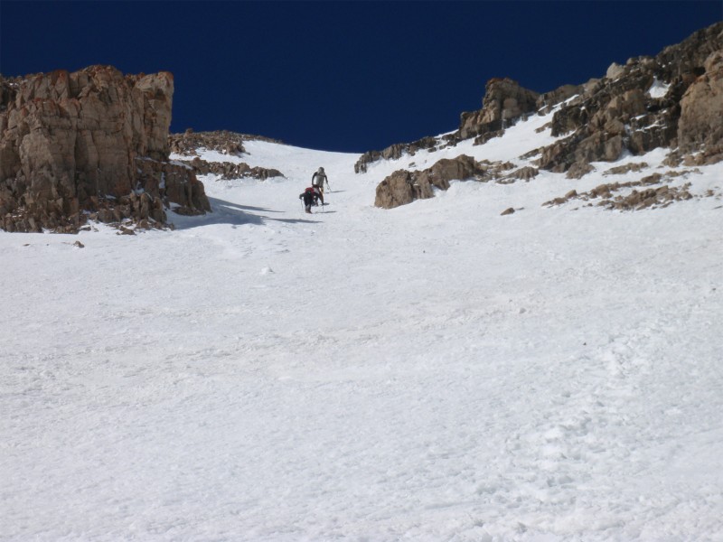
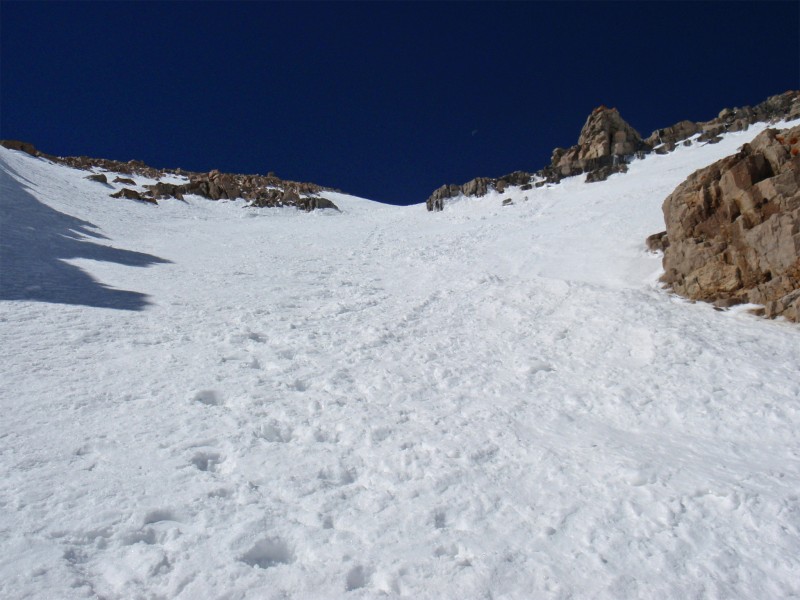
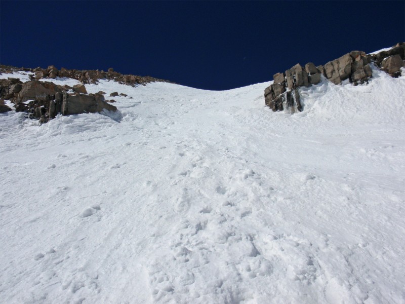
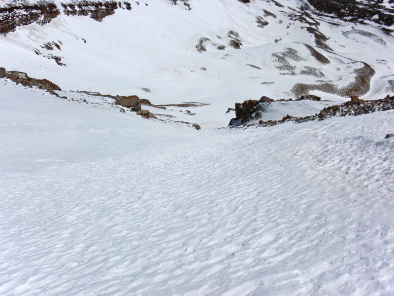
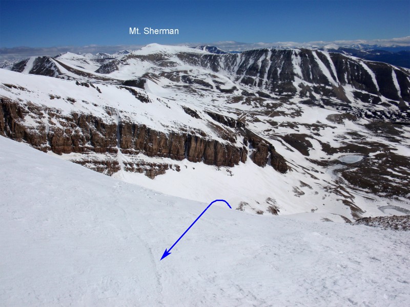
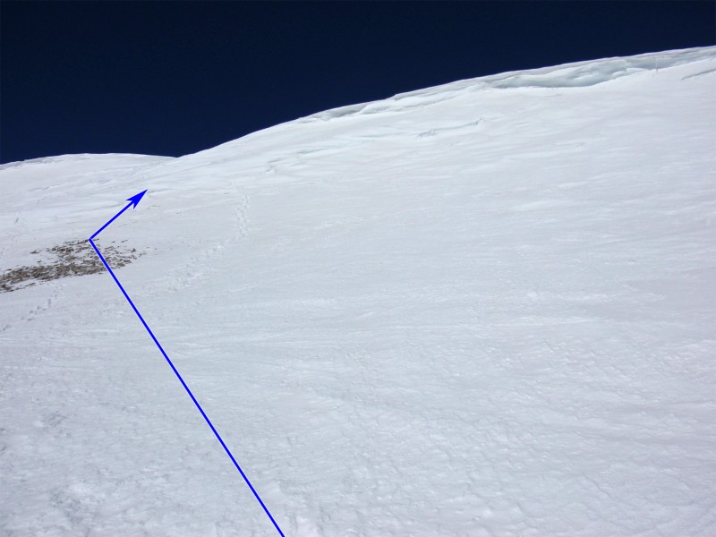
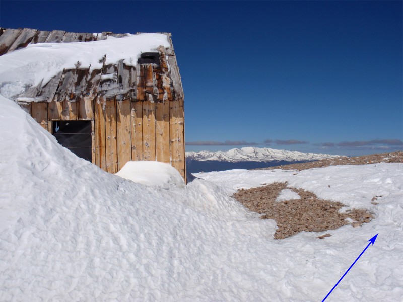
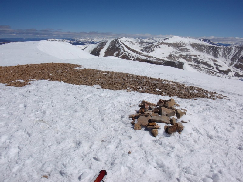
Near 12,900', begin climbing the couloir -  10. As you ascend, you may notice the pitch isn't as steep as it appears during the approach but a fall here could still send you to the bottom.  11,  12 and  13 were taken in the 2/3 of the couloir. As you approach the top, the angle increases but the route is obvious -  14,  15,  16 and  17. Near 13,800', the difficulty quickly eases ( 18) just a short distance from the summit ridge. Gain the ridge ( 19), pass a small building ( 20) and walk 0.1 mile over to the summit -  21.

Maps

JPG Image
Static Map JPG

Interactive Map & 3D Flythrough
Human Verification Required

Photos

#1#2#3#4#5#6#7#8#9#10#11#12#13#14#15#16#17#18#19#20#21

Weather

Caution: The information contained in this route may not be accurate and should not be the only resource used in preparation for your climb. Failure to have the necessary experience, physical conditioning, supplies or equipment can result in injury or death. 14ers.com and the author(s) of this route provide no warranties, either express or implied, that the information provided is accurate or reliable. By using the information provided, you agree to indemnify and hold harmless 14ers.com and the route author(s) with respect to any claims and demands against them, including any attorney fees and expenses. Please read the 14ers.com Safety and Disclaimer pages for more information.

Please respect private property: 14ers.com supports the rights of private landowners to determine how and by whom their land will be used. In Colorado, it is your responsibility to determine if land is private and to obtain the appropriate permission before entering the property.
Heading to a 14er soon? Don't forget the 14ers.com mobile app.
Google Play     Apple App Store