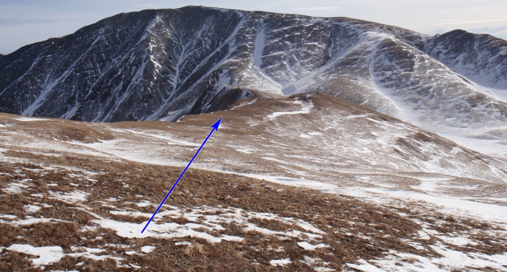
This route has become the most popular way to climb Silverheels in the winter months. Cross Highway 9 to locate the start of the trail, beyond the gate -
1. Follow the trail (a road to some radio towers) to reach tree line
2 and the west end of Hoosier Ridge -
3. Continue east up an easy, broad slope (
3) to reach the first point (~12,800') on the ridge -
4. Continue to the next point (12,814') and the remaining hike becomes more obvious -
5. Your goal is to reach a safe position before turning right (south) to reach the "north spur" to Silverheels. As shown in
5, you want to reach the point on the ridge just before Hoosier Ridge curves left.
6 looks back on the route once you've reached the turning point. Hike east and then south onto the long ridge which dips between Hoosier Ridge and Silverheels -
7 and
8. Continue past some bumps on the ridge (
9) and all the way down to 12,400' under some power lines -
10 and
11. Walk under the lines and over (you don't have to go to the very top) one final bump along this connecting ridge (
12) to reach a 12,400-foot saddle at the base of Silverheels' north face -
13.
From the saddle, begin climbing directly up a rib toward the summit ridge -
13 and
14. The lower portion (
15) is fairly easy but the angle increases near 12,800' -
16.
17 looks down from 13,300'. Near this point, avoid even steeper terrain by angling right (southwest) to gain the summit ridge, near 13,500'. Turn left and hike up easy terrain (
18) to reach the summit -
19 and
20.
