From the trailhead (
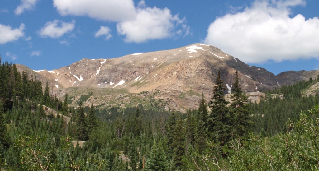
1), walk through the forest on the great trail for 1.25 miles. Leave the forest and weave through bushes to reach a more-open area at 11,200' where you'll get your first view of Mt. Oklahoma, to the west -
2. Follow the trail to the other side of a meadow and reach a trail junction at 11,200' -
3. Turning right would take you up the 14er Mt Massive - continue west on the North Halfmoon Lakes trail. After hiking back into the trees, pass a long rock-slab (
4) to reach a clearing where you'll get another look at Oklahoma -
5. Continue up to 11,600' to a flat, rocky overlook -
6. Just after the overlook, it's time to leave the North Halfmoon Lakes trail -
7. The remainder of your climb will be off-trail.
Hike west into the dense forest and reach the 1st of two stream crossings less than 0.1 mile after leaving the trail -
8. Cross the stream and continue west for another 0.1 mile to reach the 2nd and larger stream crossing -
9. At this point you should be between 11,600' and 11,700' of elevation. If you're above 11,700' and the 2nd stream crossing has steep rock on the other side, descend a bit before crossing to easier terrain. After crossing, contour southwest for approx. 150 yards before turning right and ascending west up a subtle ridge (still in the forest) that leads to Oklahoma's southeast slopes. Exit the forest near 11,900' -
10.
Continue west/northwest past some rock out-croppings (
11) to reach the entrance of a high basin on Oklahoma's southeast slopes -
12 and
13. Study your map, photos and GPS (if you brought one) to make sure you're at the high basin and not off-route. Follow a drainage to 12,700' and locate a steep, grassy slope to your right (north) -
14. Climb the slope (
15) to reach 13,100' on a ridge, just east of the summit. Turn left (
16) and hike up the easy, talus-covered ridge (
17) to reach the summit -
18,
19 and
20.
