1 shows the general route. If you park at the 2WD, paved trailhead, you have two options for your start: 1) Walk 2.5 miles up the Continental Divide/Colorado Trail to the point where the trail passes the upper, 4WD trailhead, or 2) Walk 1.8 miles up the 4WD road to reach the upper trailhead. Most prefer the latter. From the 4WD trailhead follow trail signs up FS 125C road for 50 yards before turning right onto the CDT/CO Trail (
2).
Walk 0.1 miles through the forest and cross a creek via a footbridge (
3). Continue on the CDT/CO Trail through willows, keeping left at the first of two junctions for Lily Lakes. Walk through a section of aspens for about 0.4 miles, descend slightly, then turn sharply left at the second Lily Lakes junction (
4). Continue a bit farther and stay left at yet another junction (
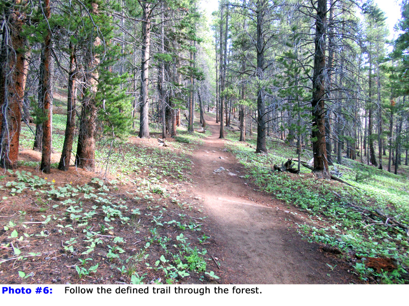
5). Now on the South Mt. Elbert Trail, follow it through the forest (
6). At approximately 11,400', the trees begin to thin as you reach the south edge of the ridge. (
7). Ascend the ridge, passing through a clearing at 11,600' (
8). Turn left and ascend to a corner offering a beautiful view of the upper route (
9). From there, turn right and traverse north then south (
10), regaining the ridge near 12,300' (
11). Continue a short distance to reach a saddle
.
From the saddle, the route becomes more challenging as you'll need to gain 2,000 feet of elevation over the remaining 2 miles (
12). In recent years, the Colorado Fourteeners Initiative (CFI) has improved and re-routed portions of this trail, so you may notice some closed-off, older trail sections. Leave the saddle, turning left to bypass an initial point, swing back to the ridge, then regain the ridge crest near 12,500' (
13). Continue north as the trail now swings to the north side of the ridge (
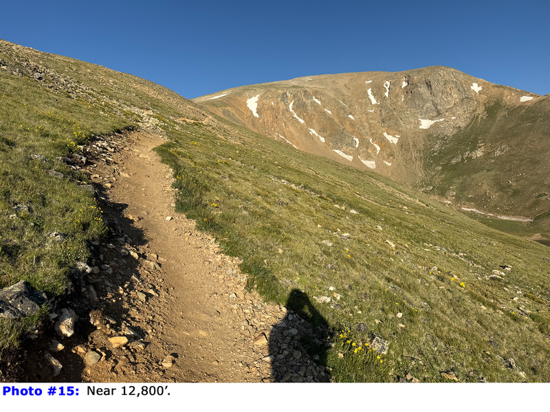
14). Once you're side of the ridge, the trail continues west, where you'll be treated to an excellent view of upper Box Creek (
15). Continue traversing west as you gradually gain elevation. Near 13,000' the trail switchbacks left back toward the ridge crest (
16).
When you regain the ridge at 13,100', you'll encounter a large rock wall
(
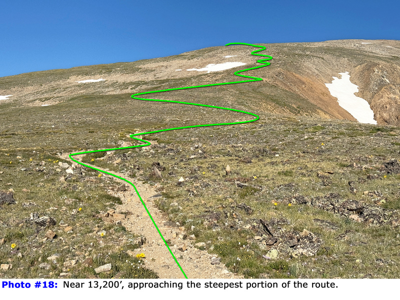
17). Turn right and continue along the ridge to 13,200', where you'll see the route's crux—a steep section between 13,400' and 13,800' (
18). Zig zag your way up through this steep section (
19), then swing left onto Elbert's southeast face (
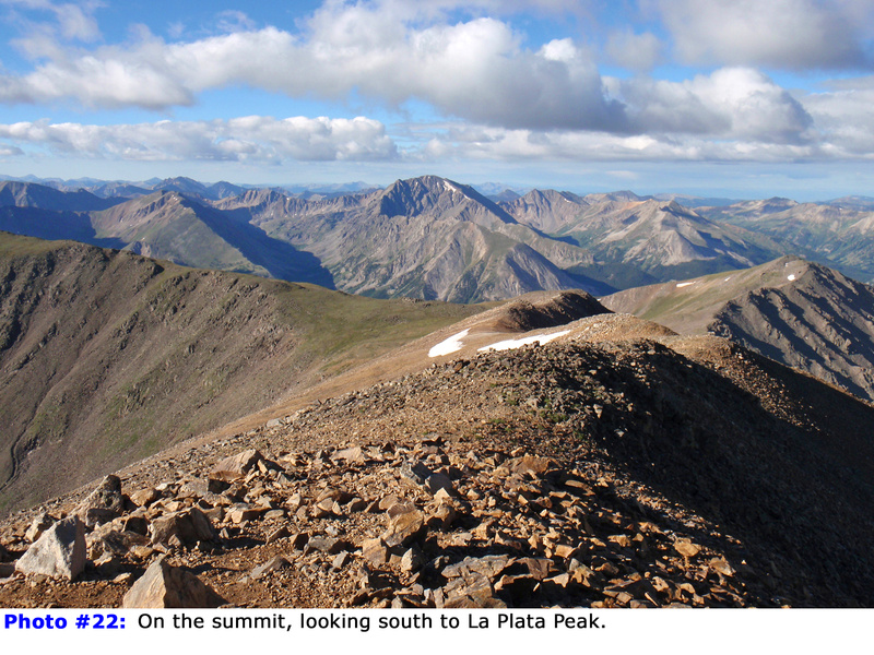
18). Traverse partway across the face before climbing 600 feet to reach the summit ridge. Finally, turn left and follow the ridge to the summit (
21,
22,
23).

 GPX Track File


