Download Agreement, Release, and Acknowledgement of Risk:
You (the person requesting this file download) fully understand mountain climbing ("Activity") involves risks and dangers of serious bodily injury, including permanent disability, paralysis, and death ("Risks") and you fully accept and assume all such risks and all responsibility for losses, costs, and damages you incur as a result of your participation in this Activity.
You acknowledge that information in the file you have chosen to download may not be accurate and may contain errors. You agree to assume all risks when using this information and agree to release and discharge 14ers.com, 14ers Inc. and the author(s) of such information (collectively, the "Released Parties").
You hereby discharge the Released Parties from all damages, actions, claims and liabilities of any nature, specifically including, but not limited to, damages, actions, claims and liabilities arising from or related to the negligence of the Released Parties. You further agree to indemnify, hold harmless and defend 14ers.com, 14ers Inc. and each of the other Released Parties from and against any loss, damage, liability and expense, including costs and attorney fees, incurred by 14ers.com, 14ers Inc. or any of the other Released Parties as a result of you using information provided on the 14ers.com or 14ers Inc. websites.
You have read this agreement, fully understand its terms and intend it to be a complete and unconditional release of all liability to the greatest extent allowed by law and agree that if any portion of this agreement is held to be invalid the balance, notwithstanding, shall continue in full force and effect.
By clicking "OK" you agree to these terms. If you DO NOT agree, click "Cancel"...
| Report Type |
Full |
| Peak(s) |
Mt. Yale - 14,200 feet
|
| Date Posted |
05/29/2009 |
| Date Climbed |
05/28/2009 |
| Author |
RoanMtnMan |
| Mt. Yale - Pow, Corn, and Gold |
The monsoonal flow across the state has been a bit of a frustration the last few weeks. Warm and wet, a bad combo for spring skiing. We spent last weekend car camping up near Independence Pass and the skiing left a lot to be desired. Hopes remained that all the rain was actually snow a little higher and that some 14er routes may be rejuvenated.
The forecast called for a potential reprieve the latter part of this week, so I set plans to head over to the Sawatch for a look. Wednesday showed sun, via the available webcams, hopefully settling any new accumulation.
I called the weekday partners and Chris was in for a Thursday outing. We were thinking Columbia via the Three Elks TH would be in and set a plan. We met early at the usual spot in Leadville and headed south.
On the drive down 24, Columbia came into view, it looked questionable, but possible. However we immediately turned our heads farther south, Yale's east face looked inspiring. Plans changed immediately. No research, no knowledge of the routes, gotta grab Lou's book. Chris thumbed through while I headed up towards Denny Creek, as I knew this was the standard summer route. About the time we arrived at the Denny Creek TH we figured out that we had a better option. We turned around and headed for North Cottonwood Creek.
We pulled into the Silver Creek TH lot, hurriedly grabbed our gear, and headed up the Colorado Trail. Not before stashing a little Gold in the creek of course.
The plan was to follow the CO Trail to about 12,000ft and then connect into the upper part of the Avalanche Gulch route. We set a solid pace up the trail in approach shoes and were on the east ridge in good time, having compensated for the late start with a hastened sweaty beginning.
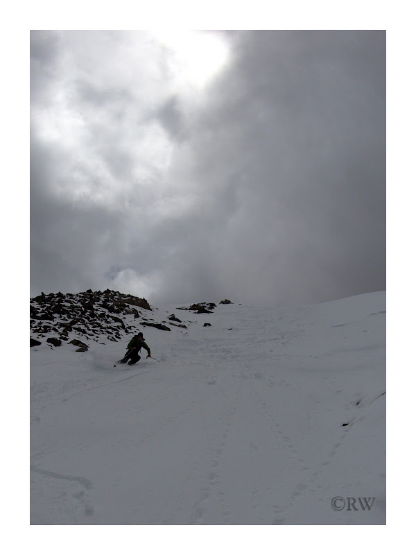
The weather was holding, but we could see moisture was in the sky and it was only a matter of time before it organized into something more menacing.
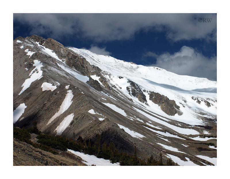
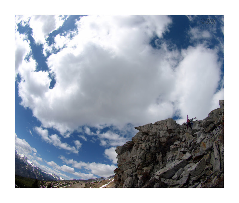
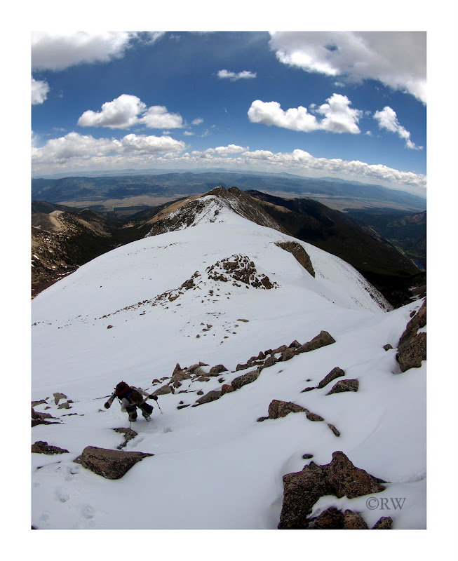
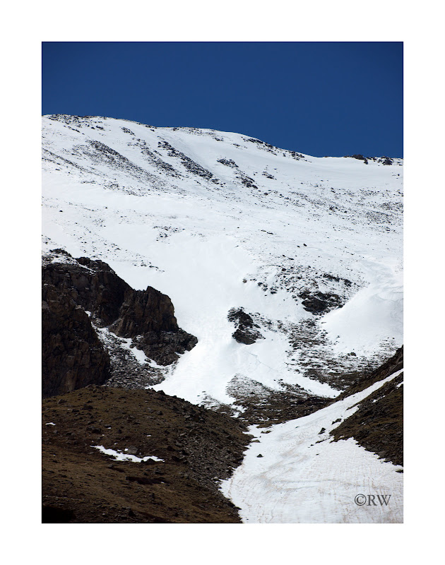
The ridge was a little more than we predicted, not difficult, but long, sustained, a little class 2 rock, and some new snow to up the ante.
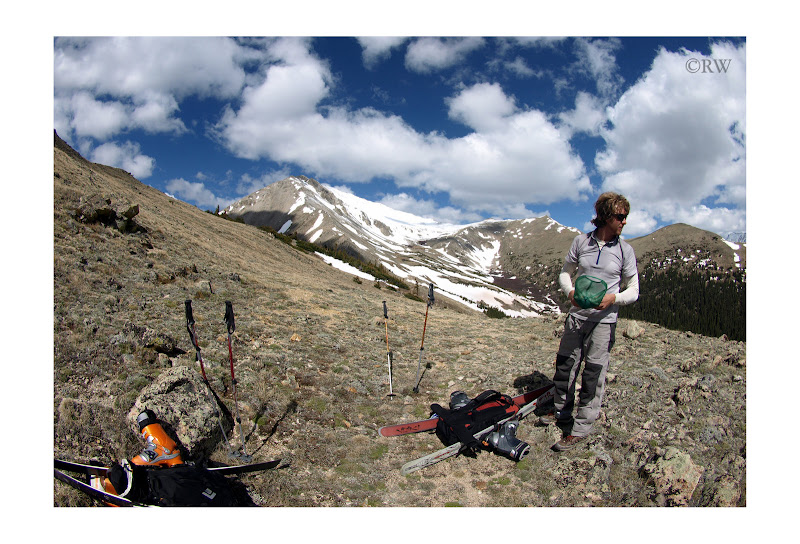
Wind was minimal and temps were warm as we took a break at 13,400ft to exchange shoes for ski boots.
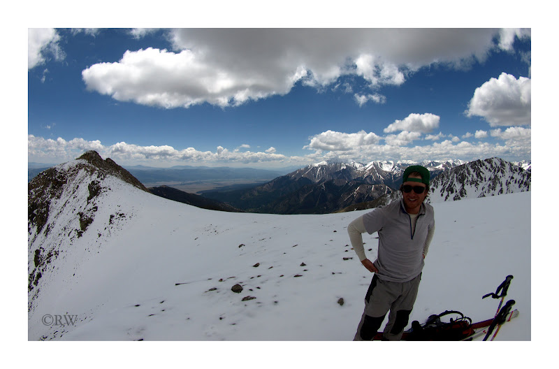
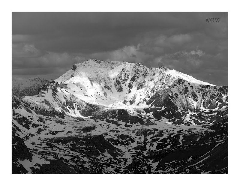
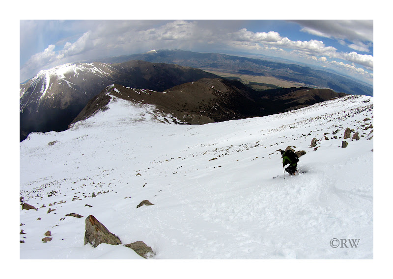
The 3rd highest peak in Colorado was looking particularly good in the cloud filtered light.
The last few hundred vertical feet were standard boot-packing/post-holing over well- anchored rocks to the summit.
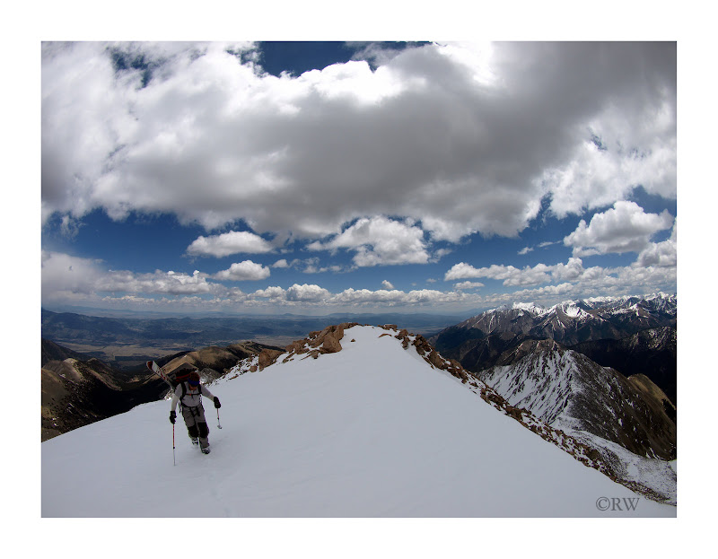
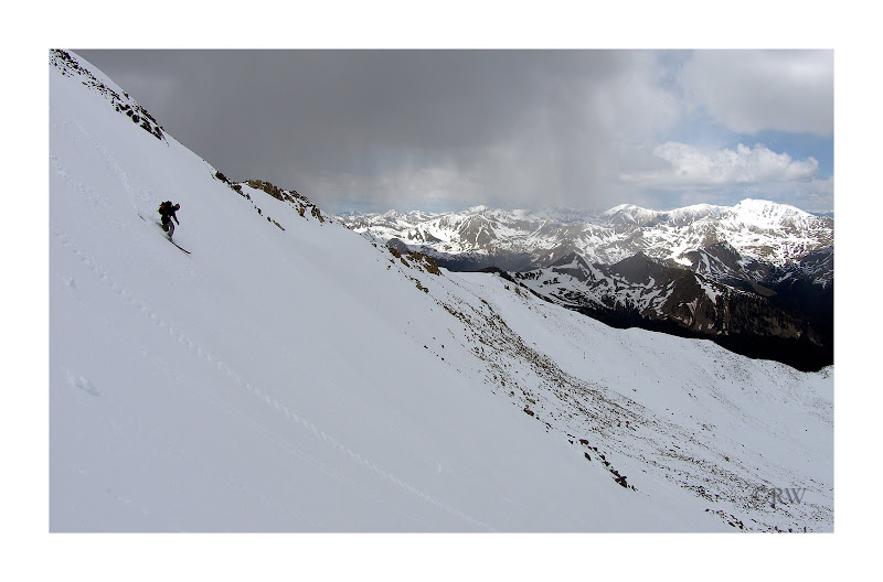
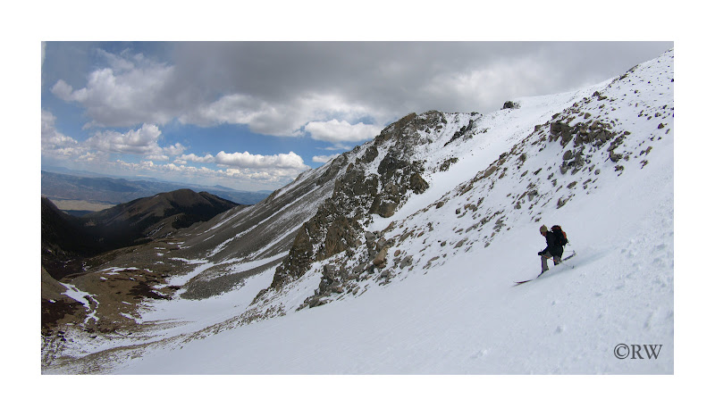
The weather was still holding as we evaluated potential descents. The routes down were less than optimal, but there were a few options obviously holding enough snow to prevent a new p-tex application.
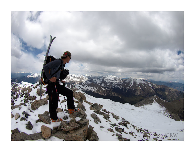
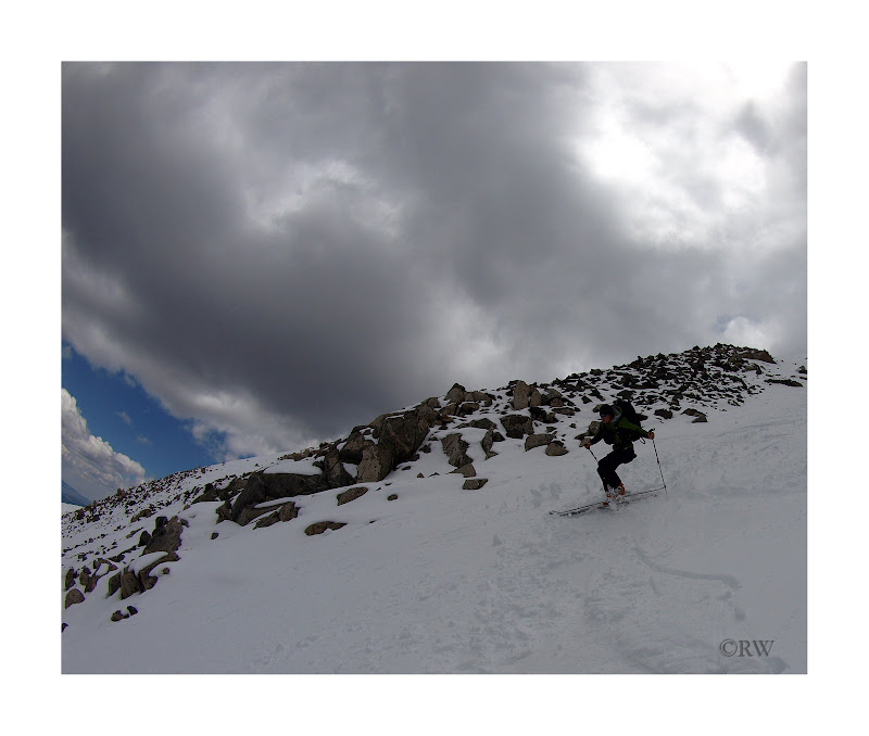
We locked in, I did the standard rock dodge game off of the summit as Chris ridiculed me, and then the payoff.
Chris took the honors:

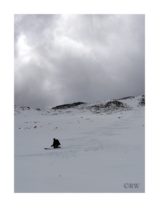
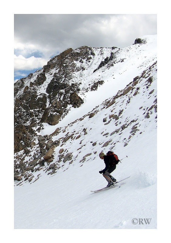
The snow was in great shape. Not quite powder, but pretty darn close for late May. Silky turns were had with only a few sharks jumping up to bite our skis. Chris performed his usual free-heel show, which I liken to butter melting on a hotcake. Smooth and delicious.

I followed:

More of Chris:

Some bonus points for Chris:
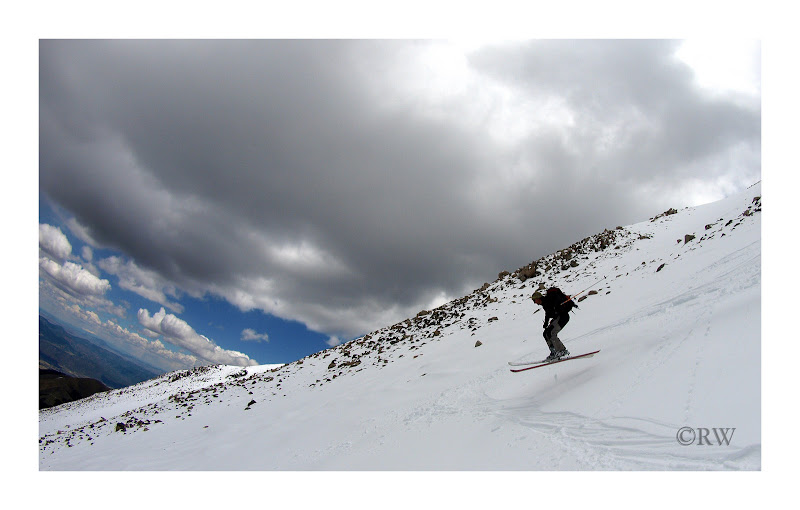
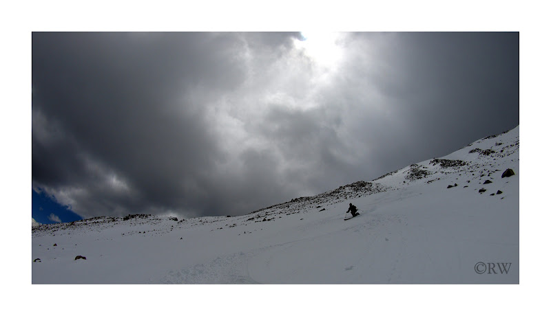
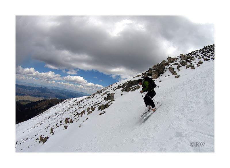
The basin below the summit has three exit couloirs. We chose skier's left and found some great corn.
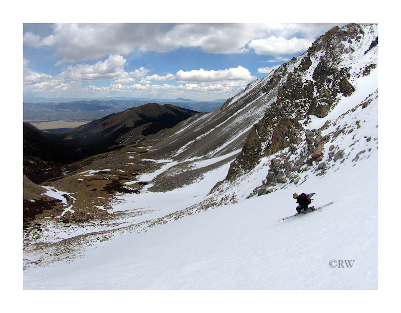
After getting down we re-evaluated and wished we has chosen one of the two that are skier's right, but no complaints given the snow quality.
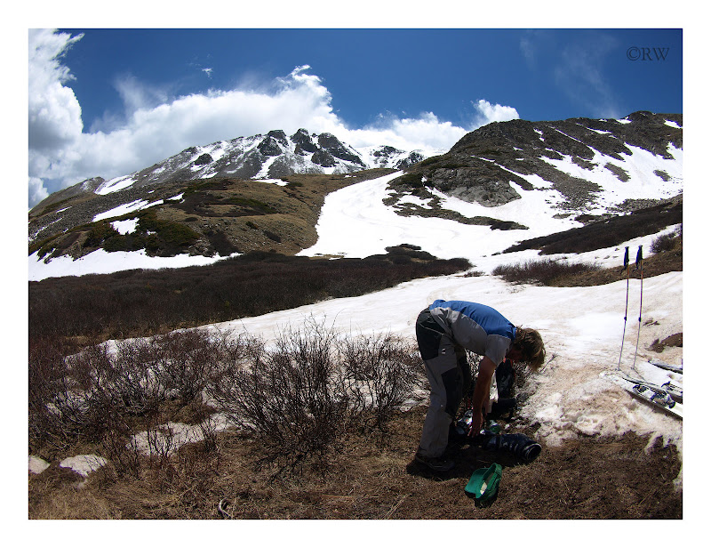
We were able to ski to 11,800ft before switching back to shoes on our feet and skis on our packs.
A look back up in the sun:
The trek back to the ascent trail was an unknown for us, but the local elk herd laid down fairly nice trails in the desired direction. As we picked out way back down, the sun reemerged with a few snow flurries still floated from the sky. Remarkably we hit the Colorado Trail almost exactly as planned and then an easy out to the truck. My knees were a little angry, but the cold Gold medicated better than ibuprofen.
Red = Ascent Blue = Descent

|
Caution: The information contained in this report may not be accurate and should not be the only resource used in preparation for your climb. Failure to have the necessary experience, physical conditioning, supplies or equipment can result in injury or death. 14ers.com and the author(s) of this report provide no warranties, either express or implied, that the information provided is accurate or reliable. By using the information provided, you agree to indemnify and hold harmless 14ers.com and the report author(s) with respect to any claims and demands against them, including any attorney fees and expenses. Please read the 14ers.com Safety and Disclaimer pages for more information.
Please respect private property: 14ers.com supports the rights of private landowners to determine how and by whom their land will be used. In Colorado, it is your responsibility to determine if land is private and to obtain the appropriate permission before entering the property.


