
| Report Type | Full |
| Peak(s) |
Hesperus Mountain - 13,238 feet Lavender Peak - 13,237 feet Mt. Moss - 13,194 feet Babcock Peak - 13,161 feet Centennial Peak - 13,068 feet |
| Date Posted | 09/13/2026 |
| Date Climbed | 09/12/2026 |
| Author | streetyz |
| The La Plata Enchilada - Iconic San Juan Peak Traverse |
|---|
|
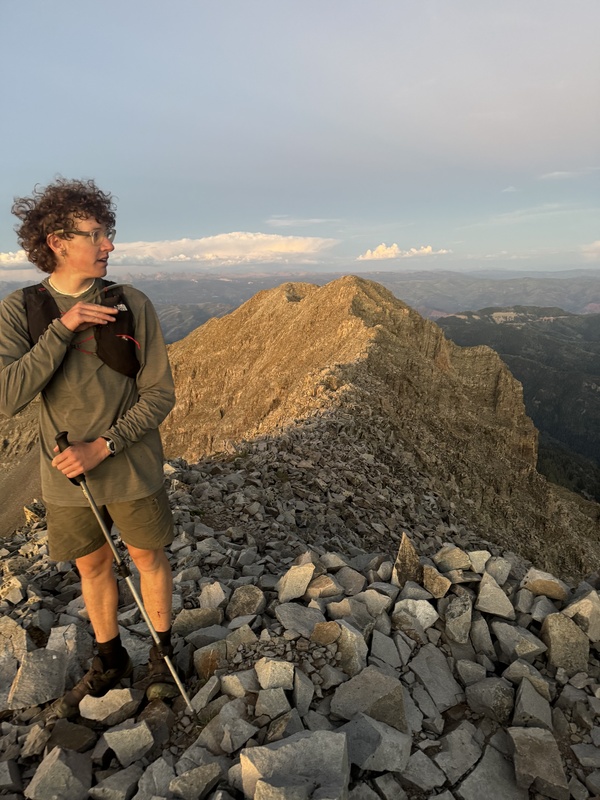
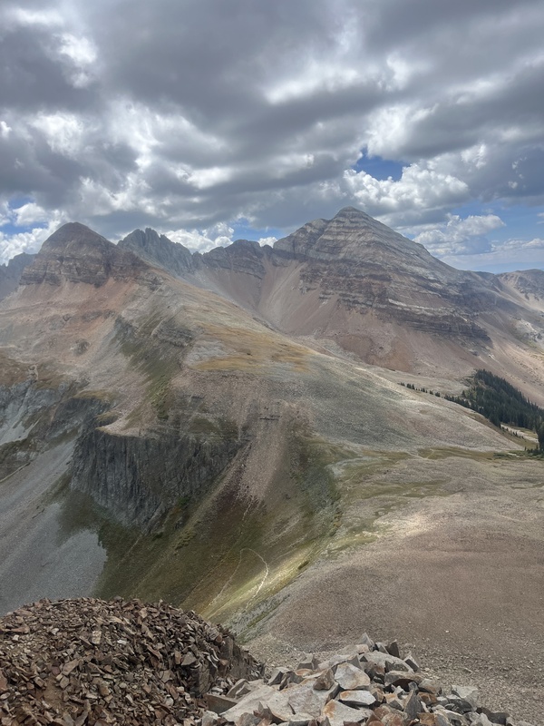
The La Plata Enchilada: a seldom-done route that connects every major named peak in the range. The La Plata Mountains are a subrange of the San Juan Mountains directly west of Durango, CO that gets significantly less visitation than the rest of the range. It is known for its remote nature, technical scrambling, and incredible beauty. Completed by Graeme Smith and Zac Streeter 09/12/2026. Firstly, I just want to give massive thanks to those who helped put this route on the map: Noah Grage & Jack VanLancker for their incredibly detailed trip report on the first successful push of the route in sub-24 hours (linked here) and Brent Herring who gave us a very ambitious time to chase! Our effort wouldn't have been possible without them. Graeme Smith and I (Zac Streeter) were (as far as we know) the fourth recorded party to complete this incredible route. It links 22 summits and sub-summits: Parrott, Star, Madden Gibbs, Burwell, Spiller, West Babcock, Middle Babcock, Moss, Lavender, Hesperus, Diorite, Efendi, Indian Trail Ridge, Cumberland, Snowstorm, Lewis, Baker, Silver, and Deadwood. This route is located in the La Plata Mountains outside of Durango, Colorado. We started at 3am with the intention of setting a very steady pace - this is a route that is incredibly easy to burn out on. The stats alone are wild (34 miles and 19,200 feet of vertical gain on our track) combined with the fact that only about 10% of that is on trail and the other 90% is a mix of intense route finding, class 3-5 terrain, and rotten rock. 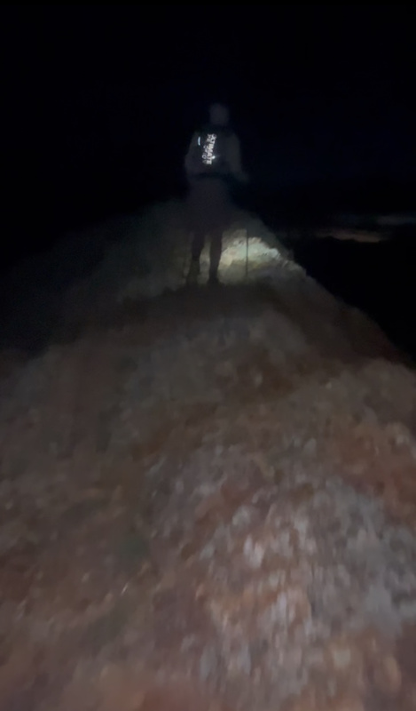
Parrott, Star, Madden, and Gibbs were the most easygoing and serve as the perfect warm-up for what is to come... 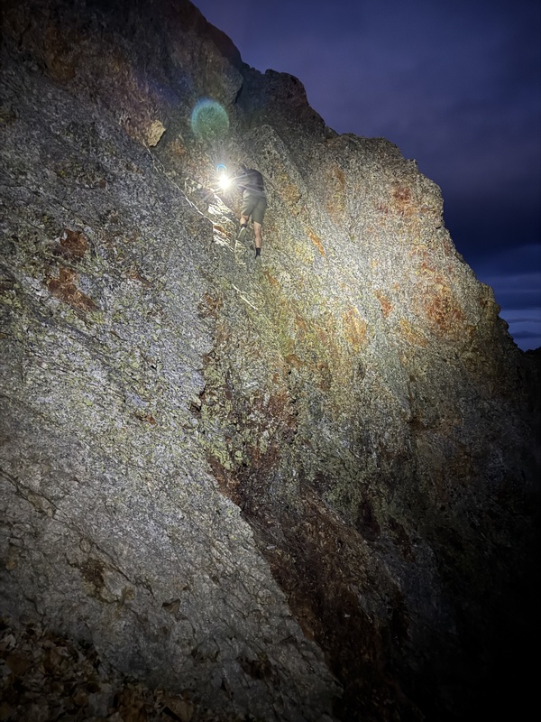
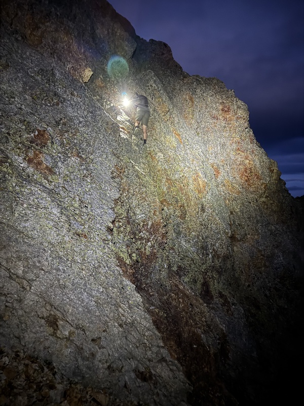
Immediately after Gibbs is the technical crux of the entire route - a downclimb (that I thought was somewhere in the 5.4 range) to reach a notch between Gibbs and Burwell. Be prepared for this one - I was glad to have done some other 5th class routes recently before this. There are (allegedly) some workarounds to this on the north side of Gibbs but this is definitely the most direct way. 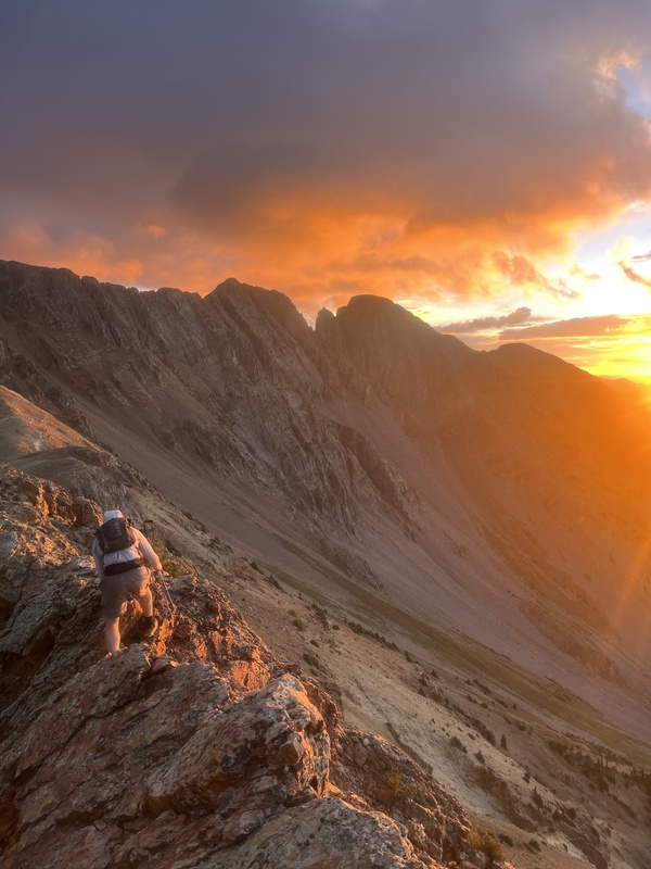
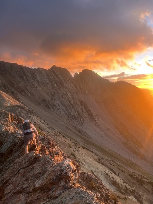
After some class 3 scrambling we got to Burwell and then Spiller. The traverse to Babcock from Spiller is known as "the Knife" and is a very popular day trip for folks looking for a really sweet ridge traverse. The rock is solid compared to the rest of the La Platas and is fun class 3 with some class 4 in the mix. After the Knife is Babcock, probably the most frustrating peak, as the main summit is less than 100 feet from the end of the Knife ("West Babcock") but requires a very long and tedious workaround on terrible rock. We descended off West Babcock and traveled down a couloir ~300 feet until we found some high-4th class slabs that we were able to pick through to get to the highest summit. You then have to reverse BACK to West Babcock to hop on the ridge that takes you over to Moss - such a headache. The traverse from Babcock to Moss went by a lot faster than we thought it would. We traversed under the ridge proper on the east side before hopping through some breaks in the ridge about 3/4 of the way across, where we were able to gain the south ridge of Moss which was comprised of huge boulders (Class 2+/3). 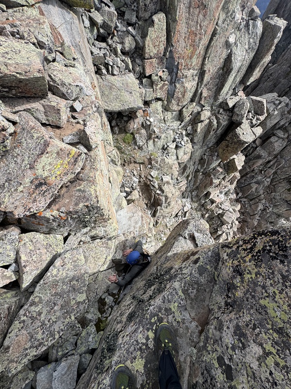
Connecting to Lavender went by quickly and there was a great class 4+/5- scramble to the summit (which is the western pinnacle). Going to Hesperus involved weaving through some very loose gullies. The last gully connects to a couloir that, after summiting Hesperus, we dropped into and took all the way into the basin beneath Centennial. We opted to scale the steep south slopes of Centennial to reach the ridge. It felt great to be on a social trail after hours of off-trail scrambling. 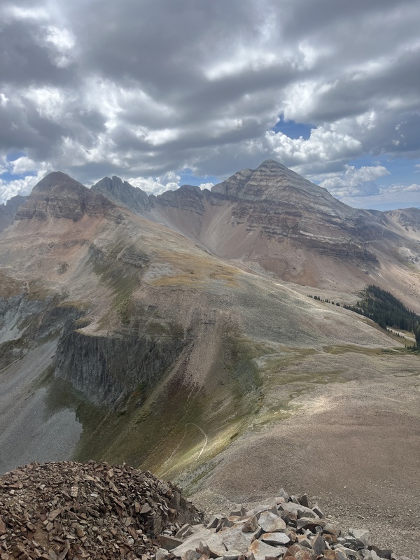
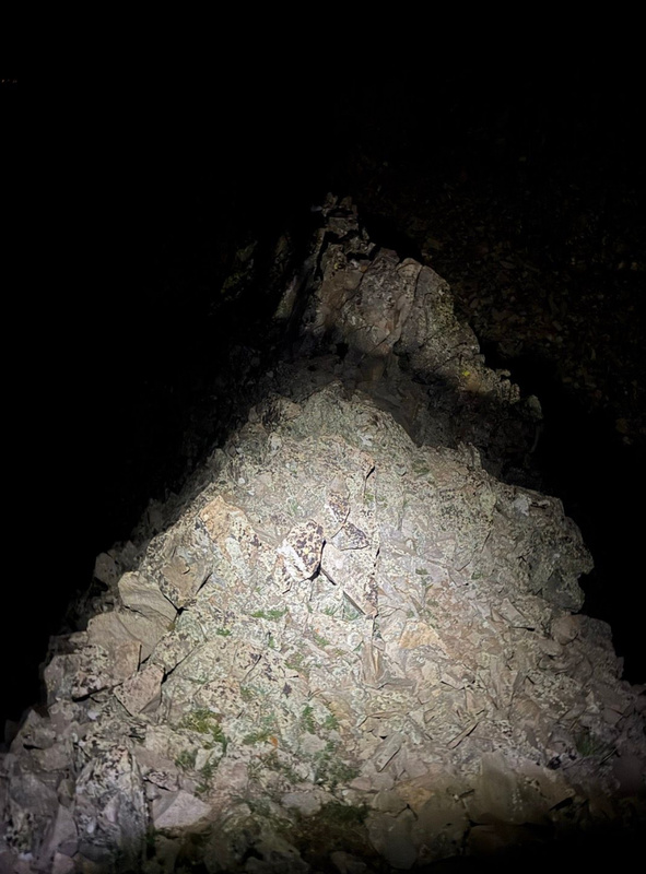
Sharkstooth was BY FAR the scariest peak on the route. The rockfall danger was the worst out of any peak I've climbed... ever. We would joke that you'd step on a large block and another rock 6 feet away would shift. Graeme was saying that he'd never had to tread so lightly on a peak (which I absolutely agree with). We dropped over Sharkstooth Pass towards Diorite, refilled water, and worked our way up the slippery northwest slopes of Diorite Peak. At the summit, we had already done ~12,000 feet of climbing in 16.5 miles. We still had 8 hours of hiking left. We opted to take Noah and Jack's suggestion of running on the Colorado Trail to tag Efendi and Indian Trail Ridge, and afterward dropped down to Taylor Lake (the last water fill-up on route). We were finally on to the eastern La Platas! Seeing Parrott peak far, far away really put into perspective how far we'd come. 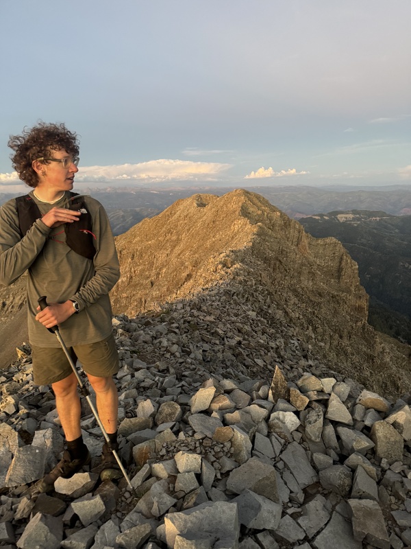
Cumberland from Kennebec Pass felt (luckily!) very easy and we started working up some class 2/3 to Snowstorm Peak. Past that is probably the most solid ridge on the route, connecting Snowstorm and Lewis, which is super fun and narrow without requiring a lot of hands-on scrambling. The sun went down and we had done 19 summits... only three more peaks to go... 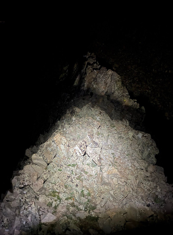
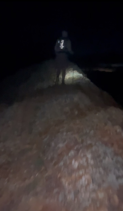
It's very unfortunate that the second biggest climb on the route (around 3000 feet) occurs at this point in the route when working towards Silver Mountain. Once it got dark again the mood did shift; our conversations that had kept us motivated during the day turned into silence as we got hit with a huge wave of fatigue. It's crazy what the dark does for you psychologically. We turned on some music and worked up, up, up until we were over Baker (which is barely a bump on Silver's southern ridge) and FINALLY onto the summit of Silver. We dropped another 500 feet and worked up, one final time, to Deadwood Mountain, the final summit of 22 that day. We didn't celebrate besides a high-five and an agreement that we wanted to run back to the car as fast as we could. Graeme said that if we got to the car with energy left, we didn't "clear the plate," we had to leave it all out there. We ran down fast, I think we both started hallucinating a bit just because of the fatigue. But finally, after 20 hours, 43 minutes, and 8 seconds, we had not only completed the Enchilada but had also scored the fastest known time on the route (yay!) This route has serious potential, and is definitely one of the hardest 50K's in the country. For anyone looking to do an absolutely wild, brutal, beautiful, incredible route that will push you to your absolute limit and show what you are capable of - look no further. Feel free to reach out with any questions. You can reach me on Instagram @zac.streeter and Graeme at @graeme_ssmith. Get after it! Thumbnails for uploaded photos (click to open slideshow): 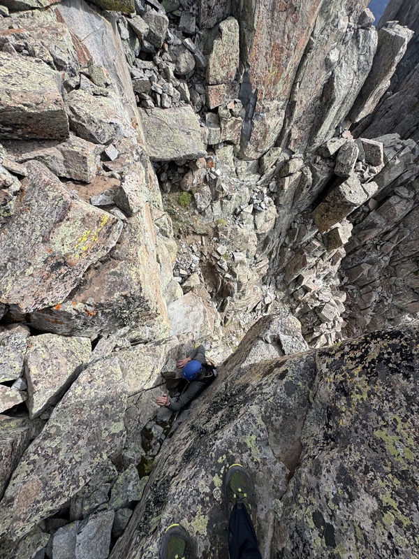
|
| Comments or Questions |
|---|
|
|
Caution: The information contained in this report may not be accurate and should not be the only resource used in preparation for your climb. Failure to have the necessary experience, physical conditioning, supplies or equipment can result in injury or death. 14ers.com and the author(s) of this report provide no warranties, either express or implied, that the information provided is accurate or reliable. By using the information provided, you agree to indemnify and hold harmless 14ers.com and the report author(s) with respect to any claims and demands against them, including any attorney fees and expenses. Please read the 14ers.com Safety and Disclaimer pages for more information.
Please respect private property: 14ers.com supports the rights of private landowners to determine how and by whom their land will be used. In Colorado, it is your responsibility to determine if land is private and to obtain the appropriate permission before entering the property.



 Download GPX file used in this map