Download Agreement, Release, and Acknowledgement of Risk:
You (the person requesting this file download) fully understand mountain climbing ("Activity") involves risks and dangers of serious bodily injury, including permanent disability, paralysis, and death ("Risks") and you fully accept and assume all such risks and all responsibility for losses, costs, and damages you incur as a result of your participation in this Activity.
You acknowledge that information in the file you have chosen to download may not be accurate and may contain errors. You agree to assume all risks when using this information and agree to release and discharge 14ers.com, 14ers Inc. and the author(s) of such information (collectively, the "Released Parties").
You hereby discharge the Released Parties from all damages, actions, claims and liabilities of any nature, specifically including, but not limited to, damages, actions, claims and liabilities arising from or related to the negligence of the Released Parties. You further agree to indemnify, hold harmless and defend 14ers.com, 14ers Inc. and each of the other Released Parties from and against any loss, damage, liability and expense, including costs and attorney fees, incurred by 14ers.com, 14ers Inc. or any of the other Released Parties as a result of you using information provided on the 14ers.com or 14ers Inc. websites.
You have read this agreement, fully understand its terms and intend it to be a complete and unconditional release of all liability to the greatest extent allowed by law and agree that if any portion of this agreement is held to be invalid the balance, notwithstanding, shall continue in full force and effect.
By clicking "OK" you agree to these terms. If you DO NOT agree, click "Cancel"...
I welcome suggestions for a title that doesn't imply that I have hiked Sherman 7 times at age 70.
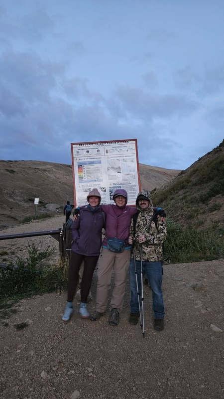
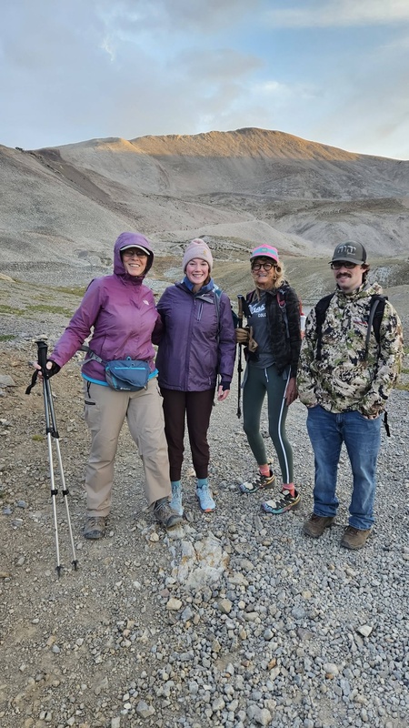
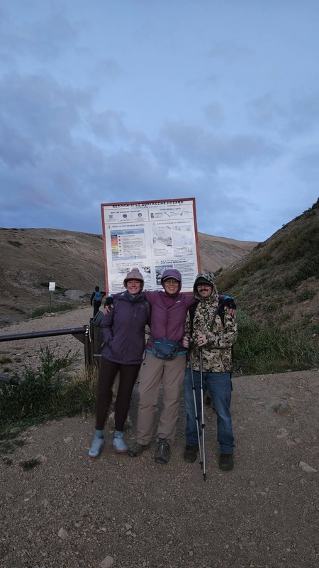
Saturday, August 29, 2026 - I hiked Colorado 14er Mt. Sherman from Fourmile Creek Trailhead with three friends. I was the oldest. We parked about a quarter mile below the gate. It was almost twilight.
At the pickup, I noticed I needed to adjust my trekking poles. I left my pack in the pickup bed while Katherine shined her cell light and I fixed that detail. A mile into the hike I realized that I forgot to put my pack on. I was so focused on my poles that I forgot my pack. Getting old? It held a poncho, a water bladder, my ten essentials and other things that I might need. Laura gave me a 12 ounce bottle of Gatorade, and that got me up and back just fine. I had been hydrating all the day before and the few hours before the hike. I had bottles of water in my pickup for my return. I told Laura that I owed her a Gatorade. She laughed and pointed out that it was pay back for another hike we had when I had supplies that she lacked. I would not have continued if I did not have great friends.
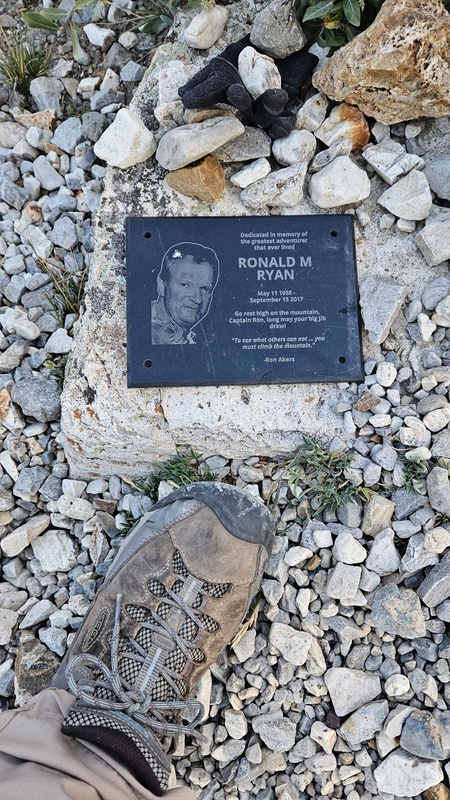
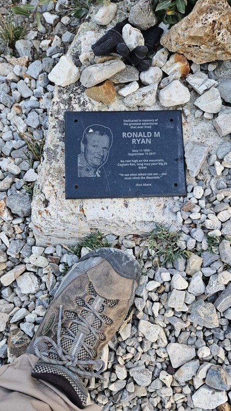
I found the memorial plaque that I had heard about and got a picture of it. I could not remember where it was, and posed the question on the Facebook group. When I spotted it on the side of the old mining road-turned hiking trail above the now-empty pond I did remember that I had seen it on a past hike. I snapped a picture to share in this report.
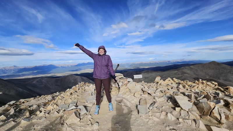
Our hike began at 6:20 a.m. Temps started in the high 30s and reached the 50s. But the pleasant part of the hike was below the saddle. We reached the saddle at 7:20 a.m. From there it was typical Mt. Sherman winds on our ascent, even freezing at the ridge where there are only a couple of spots for a warmer reprieve. Once on top we stumbled a tenth or more of a mile over loose shale chunks to the summit marker, which we reached at 8:35 a.m. The wind up there was considerably calmer, and we were relieved that it was somewhat warmer.
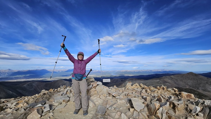
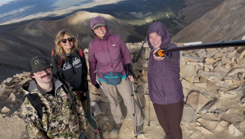
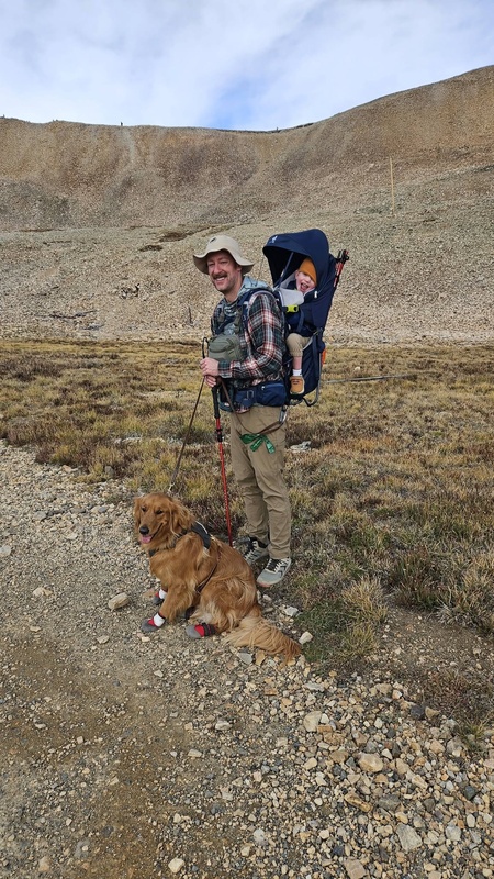
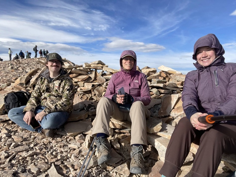
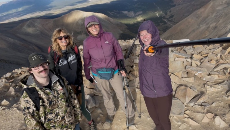
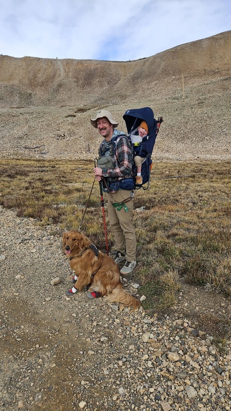
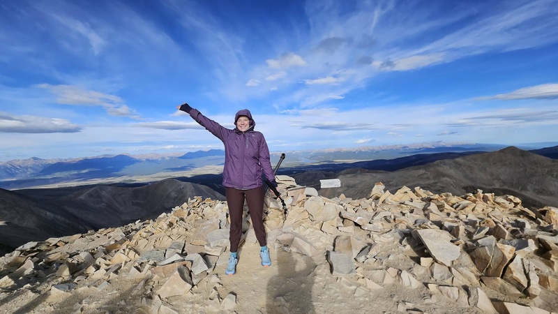
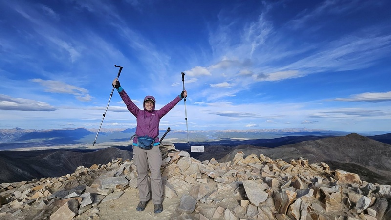
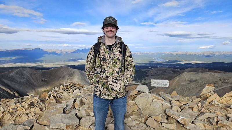
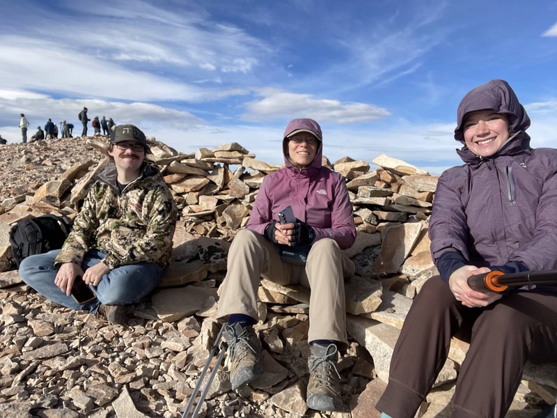
We got our summit pictures and found a cairn shelter to rest on rocks and snack before beginning our descent. It did feel like we were sitting on ice cubes. After 20 minutes we began our hike back down at 8:55 a.m. By 9:35 we were at the saddle and a couple of us took a few pictures of the Iowa Gulch area. We wasted no time continuing down the trail. We saw a LOT of babies, toddlers, kids and teens on our way up and down. One daddy said I could get a picture of him with his toddler and dog.
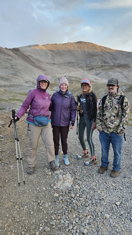
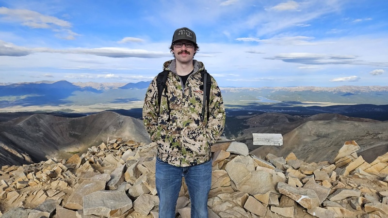
Mt. Sherman was Ryan's first 14er! It was Katherine's 6th 14er. It was Laura's 2nd time on this mountain, and it was my 7th time to summit Mt. Sherman. We finished at 10:35 a.m., including 20 minutes on top with dozens of hikers. The total time including our summit break was 4 hours, ten minutes. Our moving time was 3 hours 50 minutes. The hike was 5.65 miles roundtrip.
I tied my fastest moving time on this climb, and I'm now nine years older than I was on that record time in 2017. What a difference it makes to hike without a pack! Haha!
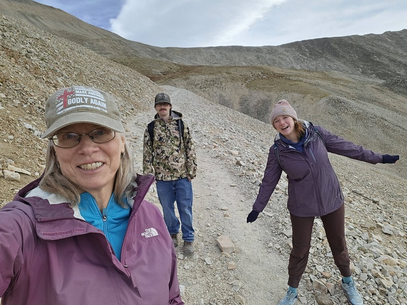
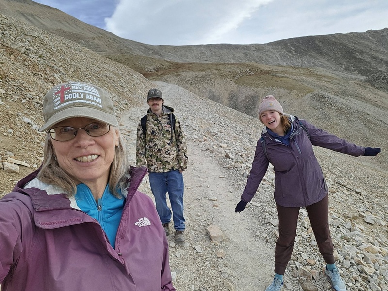
Three off us at the gate before the fourth joined.The four of us on our hike.On the road.KatherineRyanGailThe four of us on the summit.A hiker with his toddler and dog.A hiker's memorial plaque.On the summit.
Thumbnails for uploaded photos (click to open slideshow):
It is reports like this are so well written as to make others desire to follow in your footsteps - great report and glad you enjoyed your (dry) trek for the 7th time.
Thanks.
Every time I go I say that's the last time. Then I miss the high altitude views and realize that as long as it's still possible, I have all my original parts and everything is functional, this one is the closest to home and among the shortest roundtrip peaks. So I find people who want to get their first 14er and off we go.
Caution: The information contained in this report may not be accurate and should not be the only resource used in preparation for your climb. Failure to have the necessary experience, physical conditioning, supplies or equipment can result in injury or death. 14ers.com and the author(s) of this report provide no warranties, either express or implied, that the information provided is accurate or reliable. By using the information provided, you agree to indemnify and hold harmless 14ers.com and the report author(s) with respect to any claims and demands against them, including any attorney fees and expenses. Please read the 14ers.com Safety and Disclaimer pages for more information.
Copyright: Route information, text, risk factors, maps, GPX files, charts, photos, 14ers.com-created map imagery, flythroughs, and other content provided in this route description are copyrighted by 14ers.com and may not be copied, reproduced, republished, distributed, modified, or used to create derivative works without prior written permission.
Please respect private property: 14ers.com supports the rights of private landowners to determine how and by whom their land will be used. In Colorado, it is your responsibility to determine if land is private and to obtain the appropriate permission before entering the property.