Download Agreement, Release, and Acknowledgement of Risk:
You (the person requesting this file download) fully understand mountain climbing ("Activity") involves risks and dangers of serious bodily injury, including permanent disability, paralysis, and death ("Risks") and you fully accept and assume all such risks and all responsibility for losses, costs, and damages you incur as a result of your participation in this Activity.
You acknowledge that information in the file you have chosen to download may not be accurate and may contain errors. You agree to assume all risks when using this information and agree to release and discharge 14ers.com, 14ers Inc. and the author(s) of such information (collectively, the "Released Parties").
You hereby discharge the Released Parties from all damages, actions, claims and liabilities of any nature, specifically including, but not limited to, damages, actions, claims and liabilities arising from or related to the negligence of the Released Parties. You further agree to indemnify, hold harmless and defend 14ers.com, 14ers Inc. and each of the other Released Parties from and against any loss, damage, liability and expense, including costs and attorney fees, incurred by 14ers.com, 14ers Inc. or any of the other Released Parties as a result of you using information provided on the 14ers.com or 14ers Inc. websites.
You have read this agreement, fully understand its terms and intend it to be a complete and unconditional release of all liability to the greatest extent allowed by law and agree that if any portion of this agreement is held to be invalid the balance, notwithstanding, shall continue in full force and effect.
By clicking "OK" you agree to these terms. If you DO NOT agree, click "Cancel"...
Stats: Roughly 16 miles and 6,500 vertical feet but tougher I thought than the numbers would suggest
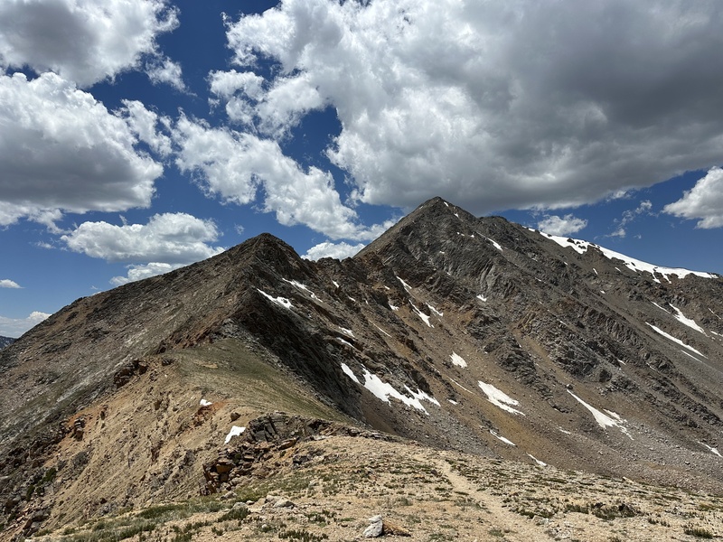
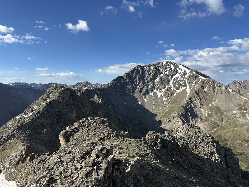
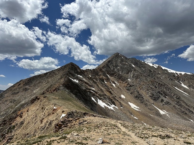
Ellingwood Ridge is one of the most impressive ridgelines in Colorado, with roughly two miles of dramtic towers arcing perfectly into the 5th highest summit in the state. It is quite committal, and its complexity makes it much more serious than the 3rd class rating would suggest.
I first visited the route when I was 11 years old, and getting too late of a start, became pinned down in what was assuredly one of the most violent thunderstorms ever to curse the skies. With relentless hail and flashes of lightning slashing through the bruised sky to strike the rocks around us, we scurried around the summit and made our escape. I swore I would never go above treeline again.
And I didn't. Well, for eleven days anyway.
Redemption came 8 years later, though this time, the objective was append the ridge with a traverse from La Plata to Sayers Benchmark and Unnamed Peak 13,440. I could not find any information on the east ridge of Sayers, but knew from satellite imagery that it could be rugged and complex.
Despite the rather tame stats on the day, don't be fooled. Ellingwood is a time and energy consuming route, and even from the summit of La Plata, looping over the 13ers takes some effort.
Preston, my Dad, and I started from the La Plata Peak TH (10,100 feet) just before 5 am. We could afford this late start with the perfectly clear forecast, but on most days I would recommend starting at least several hours earlier. It is 0.3 miles up McNasser Gulch Road to where the trail takes off, and quickly crosses a beautiful gorge on a footbridge. After another 0.4 miles there is a log bridge over La Plata Gulch Creek, then almost immediately a climbers trail takes off to the east. This was our turn.
The climbers trail is largely flat as it heads 0.7 miles east to the small creek draining La Plata Basin. Here, we turned upstream on one of many small use trails that eventually converge onto a steep path climbing up into the basin. The trail opens into a vast boulder field at 11,300 feet.
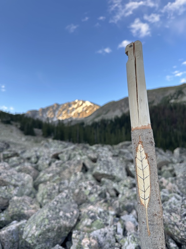
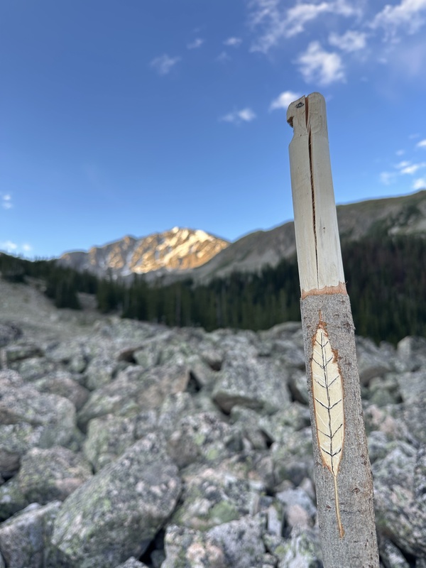
A beautifully carved marker at the end of the trail
The ascent onto Ellingwood Ridge is a bit of an eat-your-vegetables-before-your-desert sort of a deal. 1,300 vertical feet of steep talus leads to the ridge. Most of it is fairly stable, but a couple places may move around on you. It can be kept at class 2 if you swing left, or more enjoyable 3rd class if you tackle the cliff bands directly.
Once you gain the tundra-upholstered ridge at 12,600, easy terrain leads up to the first ridge point and the beginning of the good times. Be sure to tag the summit of the second major tower, as it is now a ranked 13er and not an easy one to come back for.
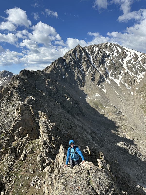
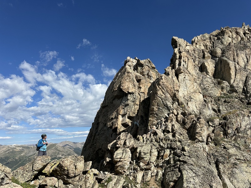
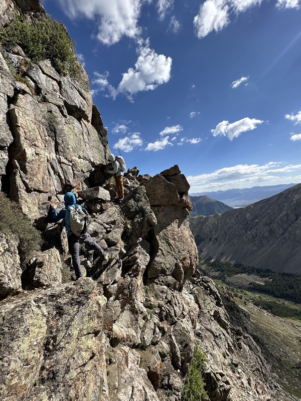
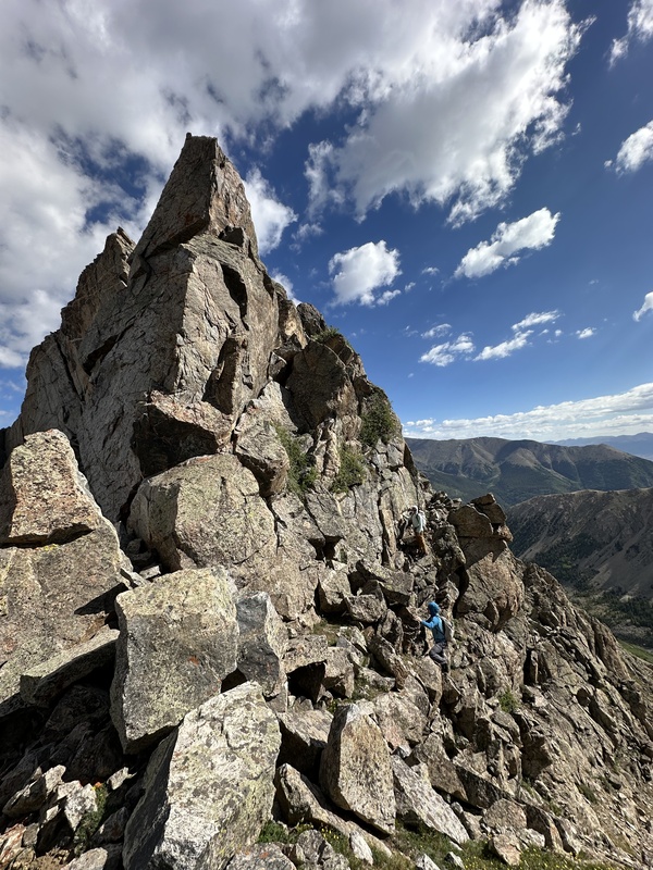
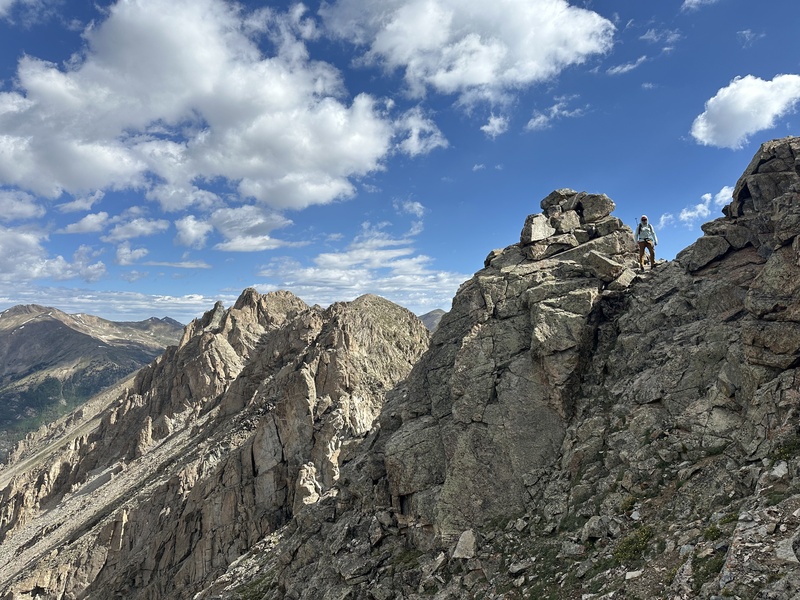
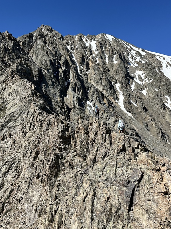
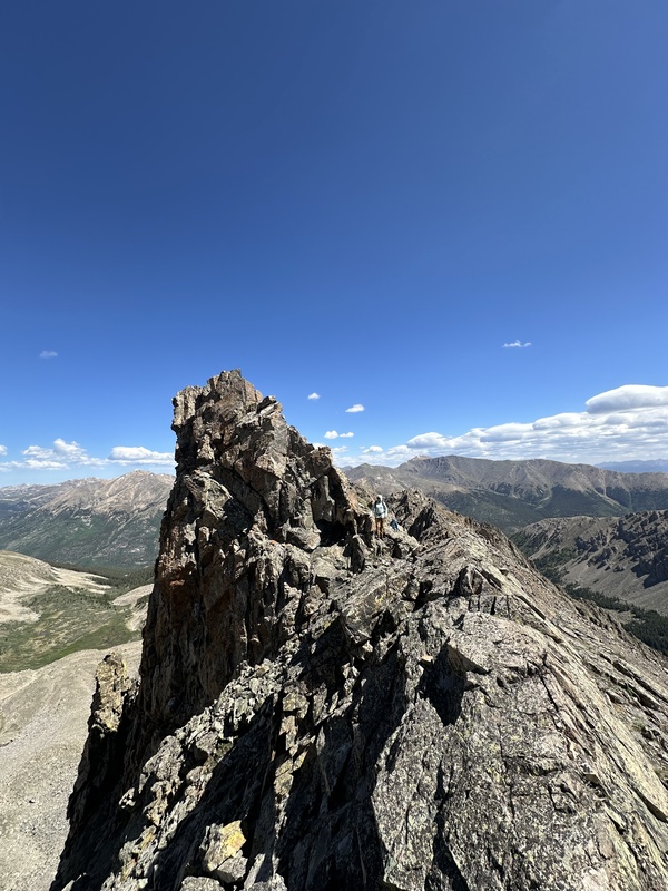
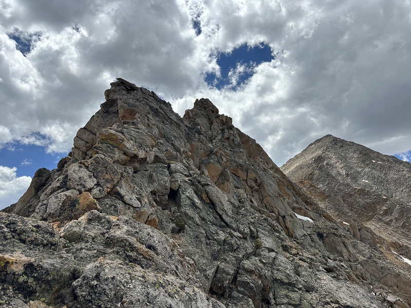
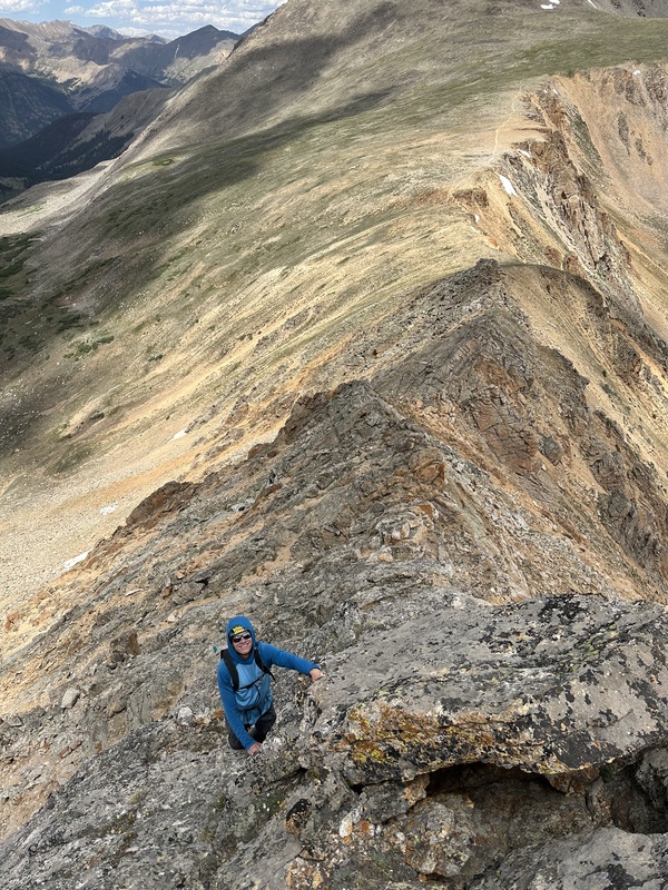
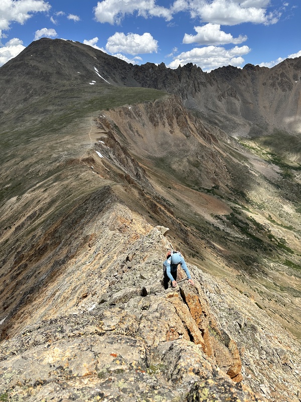
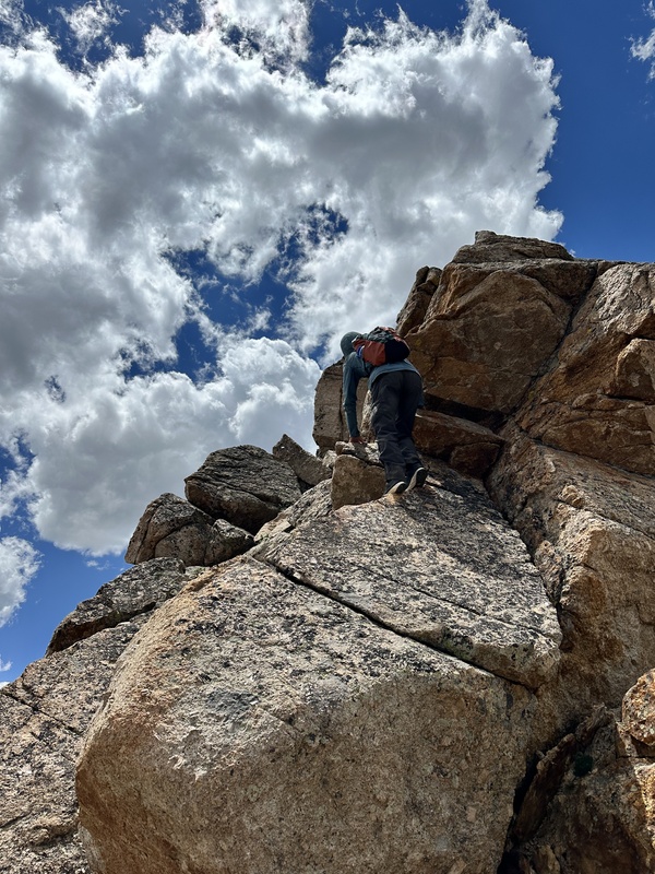
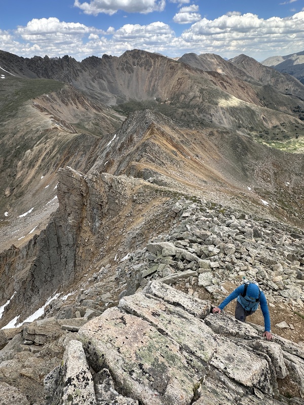
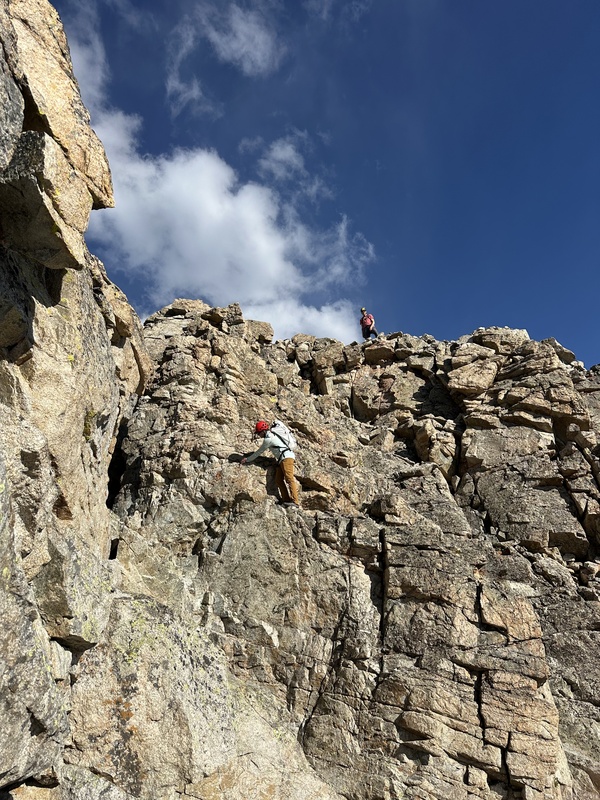
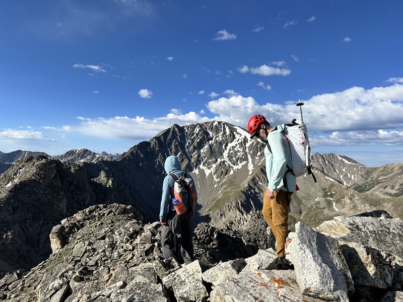
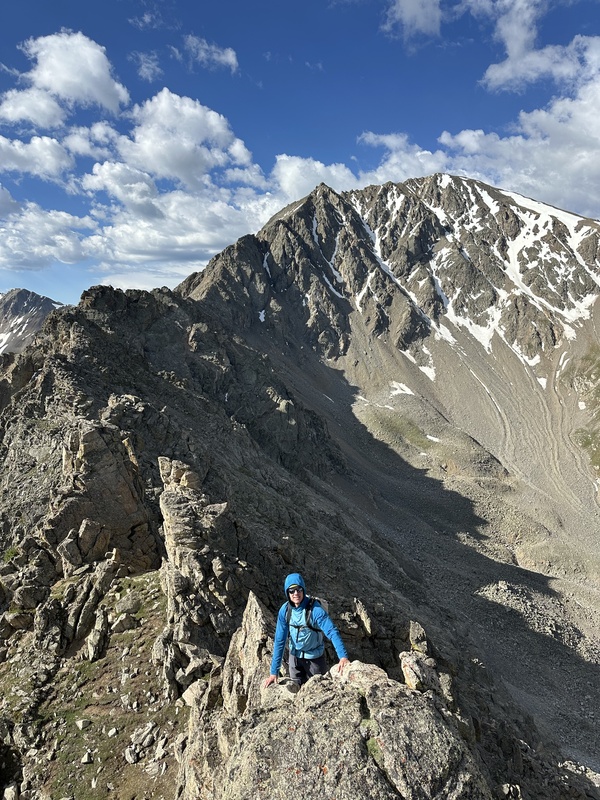
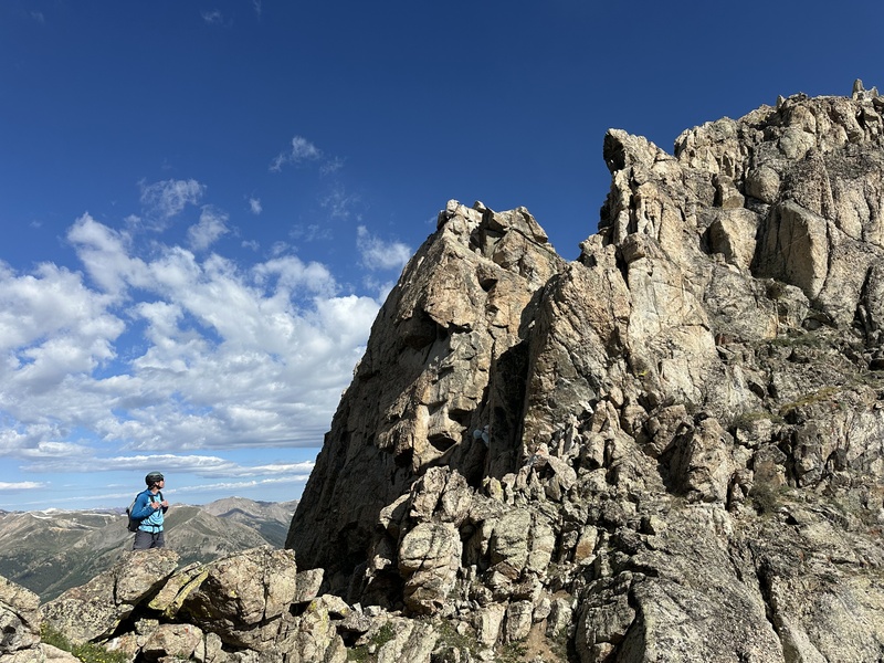
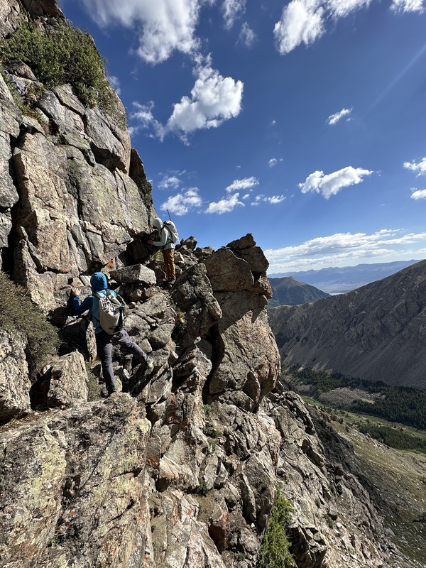
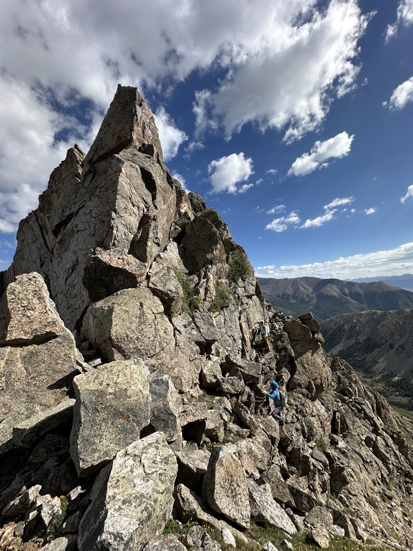
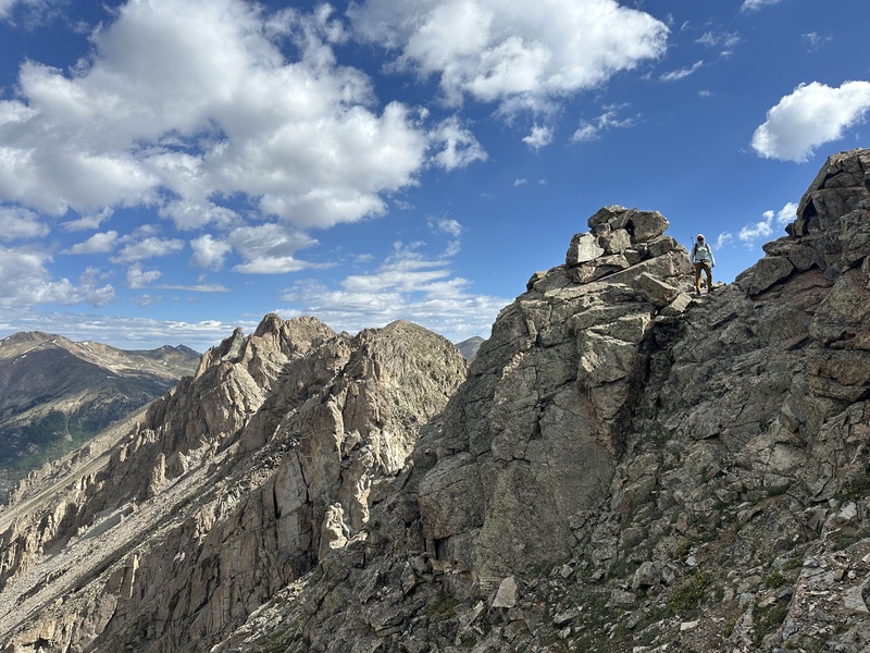
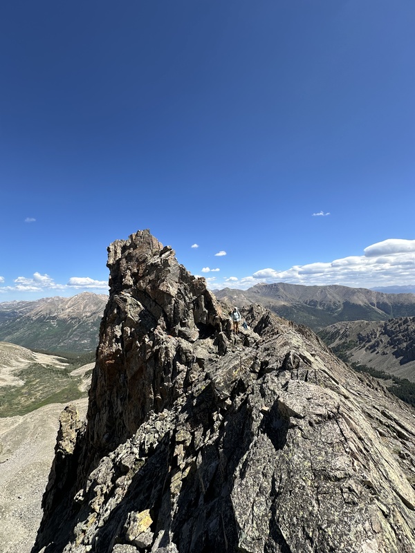
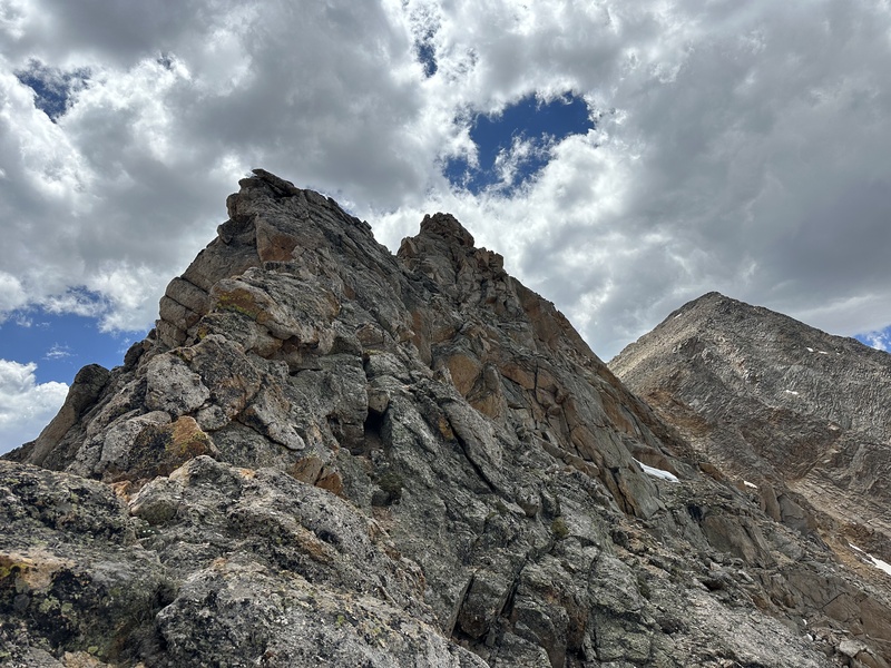
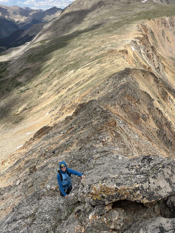
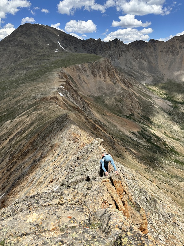
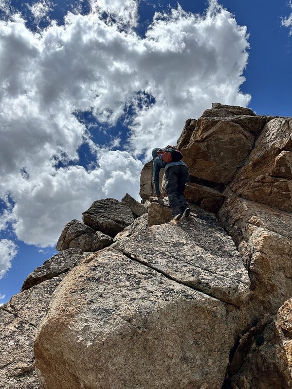
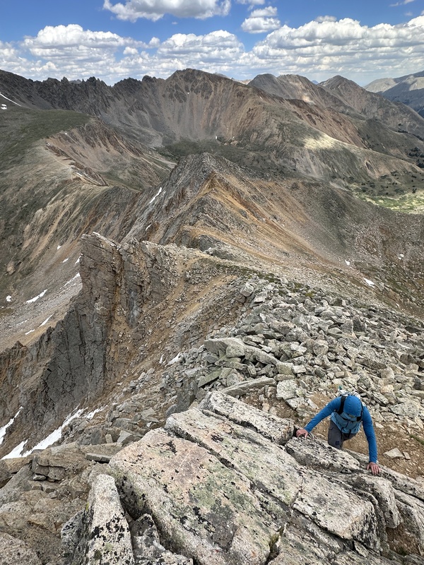
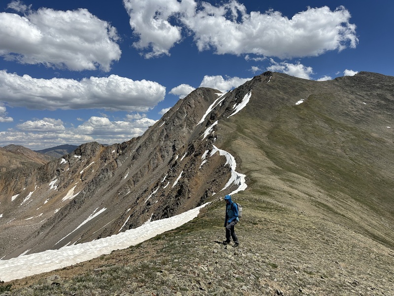
The next 2 miles constantly serve up excellent scrambling on often solid rock, with stellar views and unique features. It's great. In general, the ridge crest alternates between sections of cruiser class 2/3 and steep towers and gashes than can be turned on the east (class 3), or tackled directly (class 4 or 5). Only a few times will you venture onto the west side. After crossing the lowpoint at the end of the wonderful sawtooths, there is a section with worse rock and quite a bit of boring class 2 as you climb from 13k up to 14k. There are still some cool spots. The final pitch to the summit of East La Plata holds a little more great scrambling. Then the traverse to the main summit is mostly class 2, with a couple towers holding avoidable class 3/4.
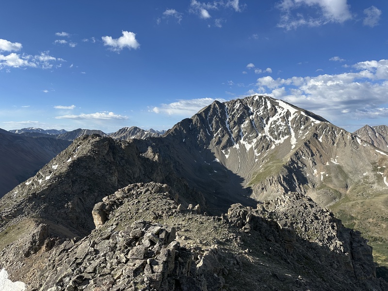
Ellingwood views
Getting started
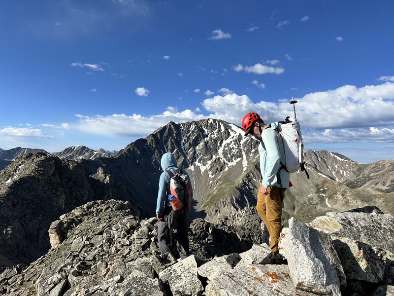
The first unavoidable class 3 down climb
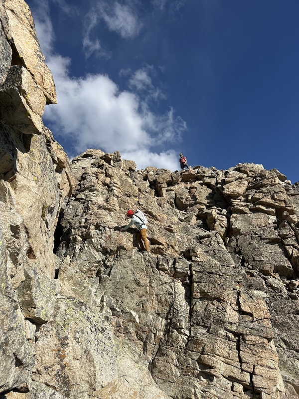
Optional 4th class
Looking back at a fun, optional down climb
The hardest unavoidable spot, an exposed 3rd class ledge
Looking back at the ledge
A rare visit to the west side
A nice section of narrow Ridgeline
Nearing East La Plata
We saw no one on the entire ridge, but the summit was swarming. Preston had had enough so set off down the northwest slopes, while Dad and I dropped down the southwest ridge to the saddle with Sayers BM.
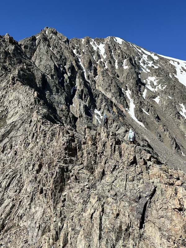
The east ridge of Sayers looked intimidating from the saddle, but we figured if we ran into trouble we could always traverse onto the face and find something easier. The ridge ended up being really fun. The first notch held a class 3 downclimb into, then class 3 again ot the other side. After a section of class 2, the ridge formed up into a really lovely and solid crest. We stayed right on the ridge up to point 13,180, enjoying excellent class 3 and 4 fun on great rock. Well worth a visit!
A little scraggly class 3 on the descent from point 13,180 leads to a section of loose class 2. Just when you think the fun is over, it returns to solid and enjoybale class 2/2+ over wonderful granite. Between the lower scrambling section and the pleasant finish, I would rate it as one of the best ridges in the Collegiates.
Sayers BM
East aspect of Sayers
The goods
A 4th class move
Great class 3 knife edge
Excellent 4th class. Probably avoidable
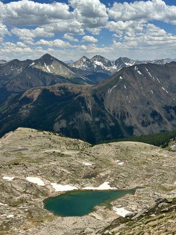
Apostle views
Nearing the summit of Sayers
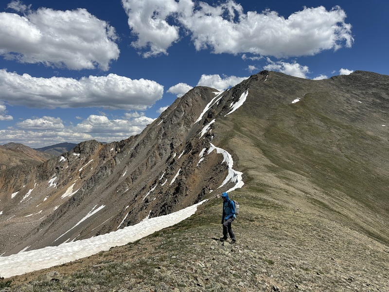
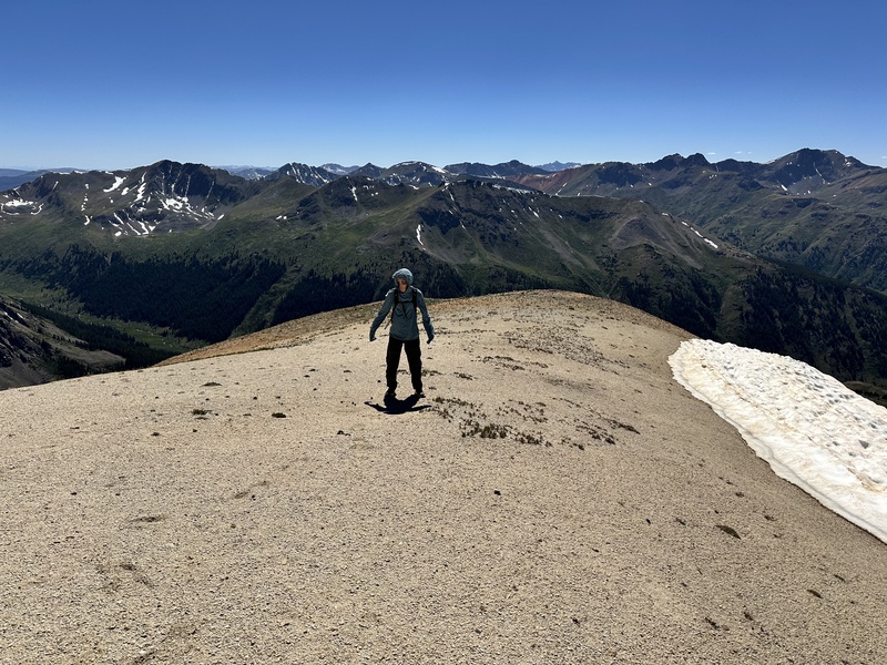
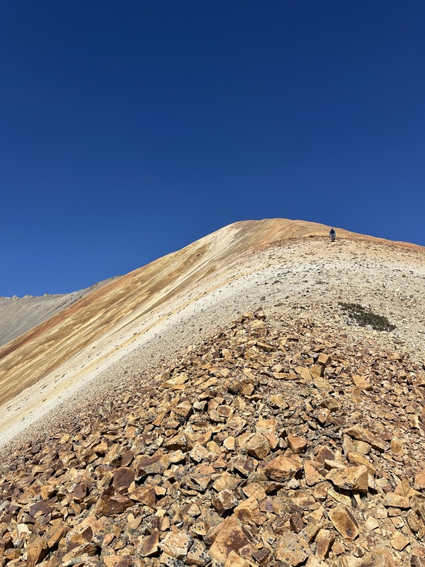
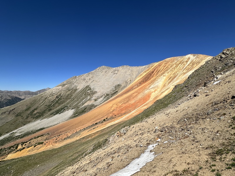
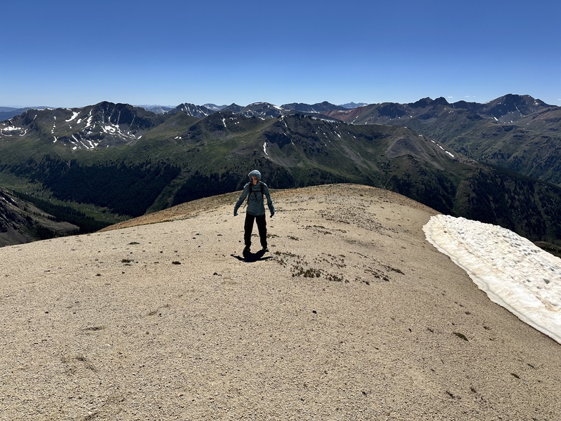
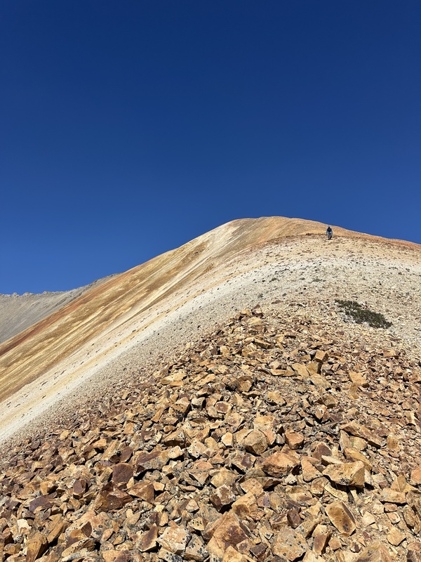
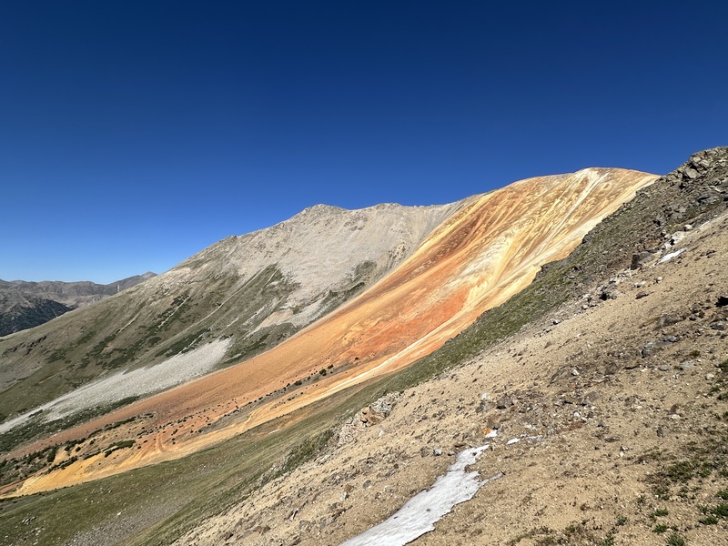
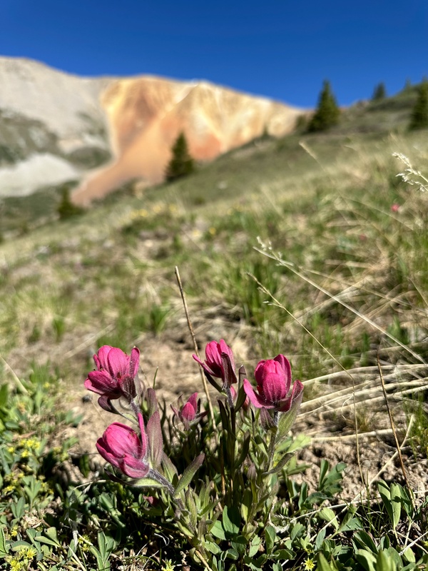
At this point in the day, the forecasted 50 mph wind arrived and pretty much sucked any fun out of the final peak.From Sayers over to 13,440 is pretty generic, with a mix of tundra, easy talus, and a few ridge bumps to contend with. The highlight is the stunning colors of 13,440, with orange, red, and gold rock coating the hillsides. From the summit, we returned to the vibrantly colored southenr subsummit, from whcih we decended the west ridge to 12,200 where we could join the mining road and follow it back into McNasser Gulch. Right turn on McNasser, and its a few easy miles back to the car.
En route to UN 13,440
A windy day on the beach
Colors
Colors
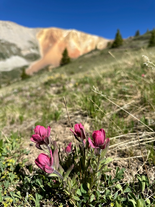
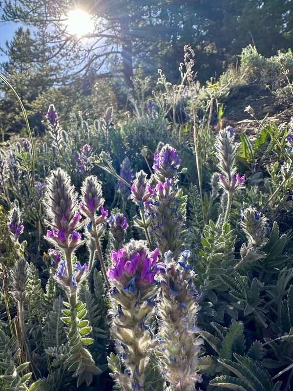
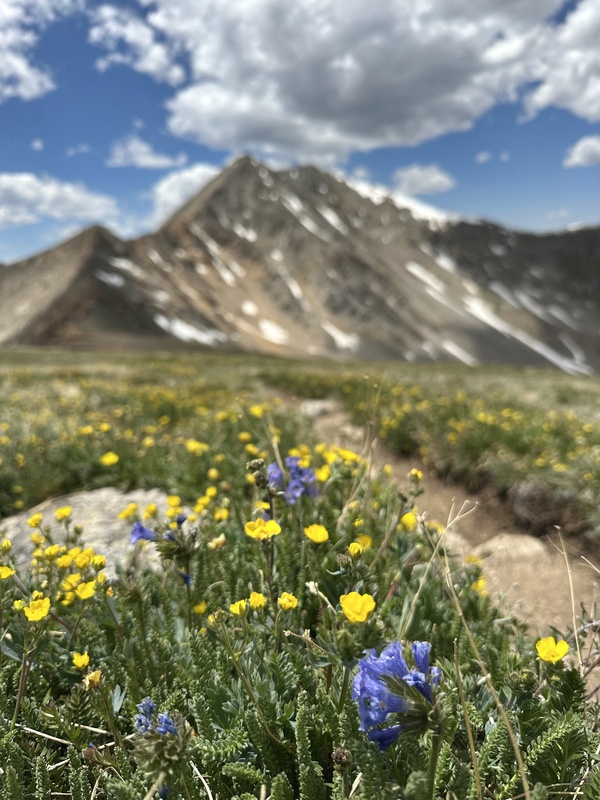
Flowers
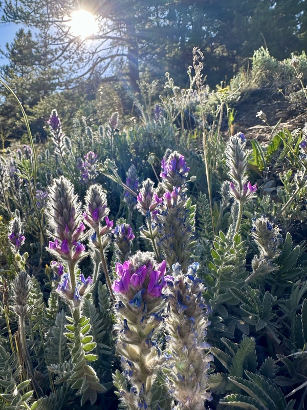
Flowers
Thumbnails for uploaded photos (click to open slideshow):
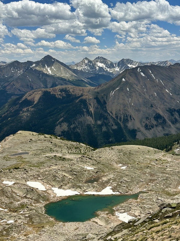
Totally agree with you about Ellingwood Ridge. The Sawatch in general are the most underrated range in the state. You’ve done a lot of climbing in a short amount of time and it’s impressive how much you’ve accomplished. It’s also super cool that you do this with your dad. I went up the east ridge of Sayres a couple summers ago and wrote: It goes. From La Plata saddle. Mostly 4th class choss on the south side. Low 5th north side. Descended straight down the southeast side towards the high alpine lake at 12,800. There is one cliff band to negotiate. Skirted around the shoulder and straight down to the north fork main trail.
However I did write a new route description for the peak as I found it was fun and safe. Looks like your team thought the same. Surprised you didn’t see it.
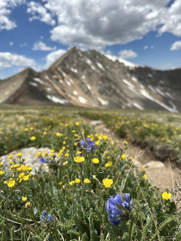
Impressive outing and connecting all of these while writing a good report and not using cliche disrespectful things like “bagged” and also taking time to stop and smell the flowers, which are some of the best I’ve personally seen via McNasser.
I've thought of getting Sayres from county road 391 (S. Fork Lake Creek) but after my last foray up that way a couple weeks ago, combining it with ER looked like a great way for efficiency. I think I'll bump this up on my '26 to-do list. Thanks for the report. Exactly the kind of stuff one looks for. Cheers!
Caution: The information contained in this report may not be accurate and should not be the only resource used in preparation for your climb. Failure to have the necessary experience, physical conditioning, supplies or equipment can result in injury or death. 14ers.com and the author(s) of this report provide no warranties, either express or implied, that the information provided is accurate or reliable. By using the information provided, you agree to indemnify and hold harmless 14ers.com and the report author(s) with respect to any claims and demands against them, including any attorney fees and expenses. Please read the 14ers.com Safety and Disclaimer pages for more information.
Copyright: Route information, text, risk factors, maps, GPX files, charts, photos, 14ers.com-created map imagery, flythroughs, and other content provided in this route description are copyrighted by 14ers.com and may not be copied, reproduced, republished, distributed, modified, or used to create derivative works without prior written permission.
Please respect private property: 14ers.com supports the rights of private landowners to determine how and by whom their land will be used. In Colorado, it is your responsibility to determine if land is private and to obtain the appropriate permission before entering the property.