Here's an expanded version:
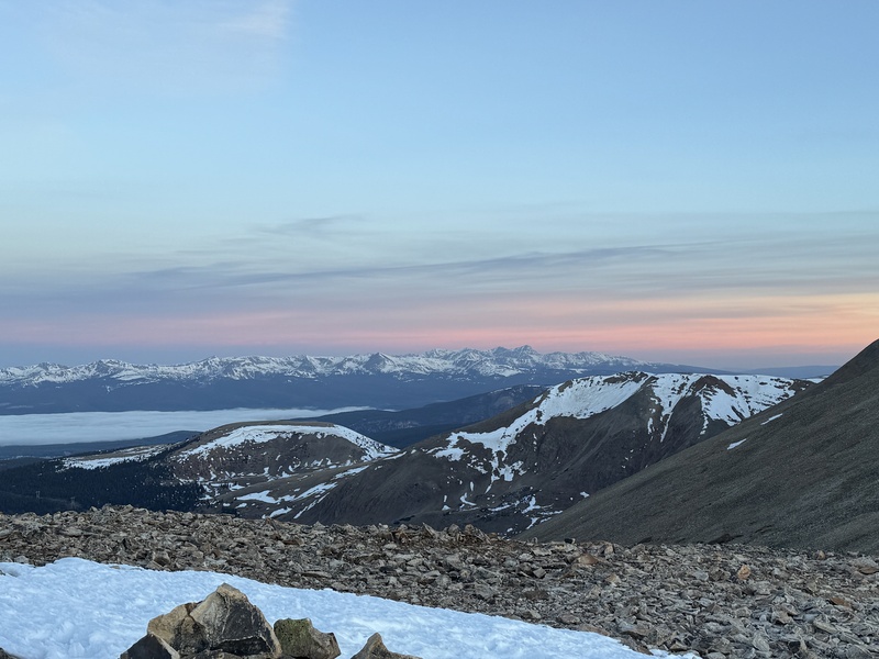
I arrived at the parking area around 5:30 AM to find only a handful of cars — a good sign that I'd have the trail mostly to myself for the early hours. After gearing up, I was on the trail by 5:50 AM. A headlamp was essential for the first hour or so, as the sun hadn't yet crested the ridgeline and the trail wound through sections of dense tree cover that blocked what little predawn light there was.
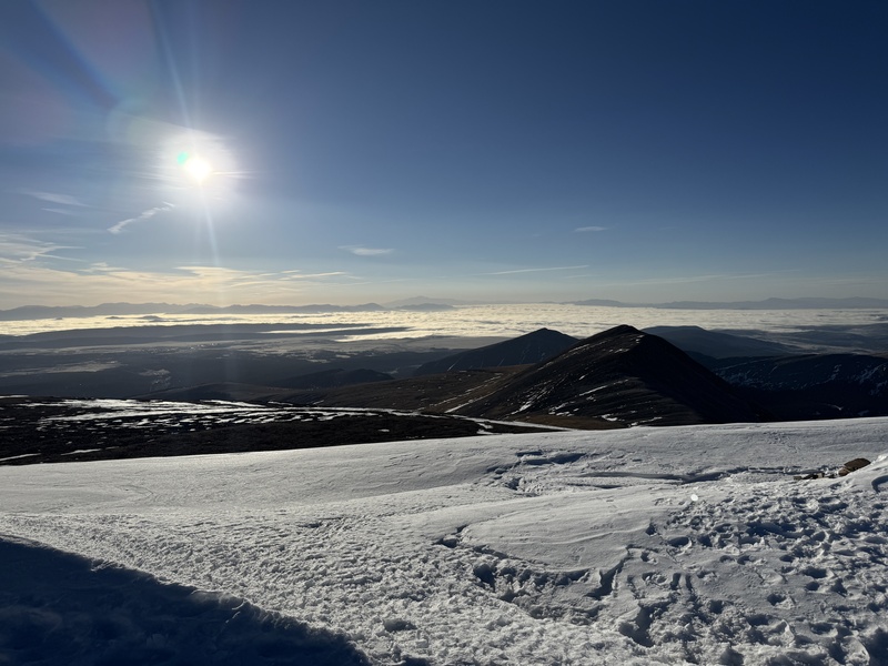
The trail conditions were manageable but not entirely straightforward. There was intermittent snow cover, particularly in the shaded stretches, though I never felt the need to stop and put my spikes on — the snow was compact enough to get decent footing without them. What gave me more trouble was route-finding in the first half of the hike. I went off trail several times, losing the path where snow obscured the tread or where the trail crossed rocky terrain that didn't hold obvious boot tracks. In the low light, it was surprisingly difficult to pick out the correct line, even with a headlamp. I'd recommend paying close attention to cairns and tree markers in those early miles, especially if you're starting before sunrise.
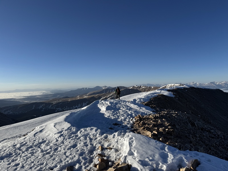
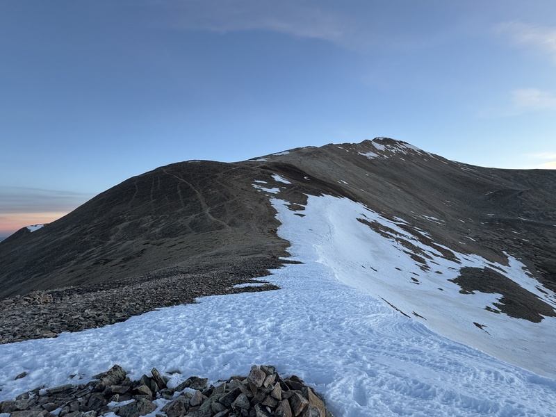
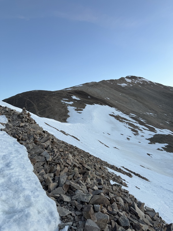
As I gained elevation the wind became the defining feature of the day. The final three-quarters of a mile along the exposed ridgeline was extremely windy — sustained gusts that made it hard to maintain a steady pace. This was around 8 AM, and conditions showed no sign of letting up. There are a few spots along the ridge where you can duck to the leeward side and find brief shelter from the wind, but I made a point of staying on the established trail as much as possible to avoid any exposure risk on the loose terrain off-trail.
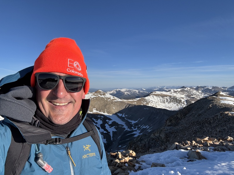
I encountered only about five other hikers on my way up and near the summit, which made for a quiet, solitary experience at the top — despite the wind doing its best to cut that moment short. On the descent, I passed significantly more people, most of whom appeared to have started between 8 and 9 AM. The later starters were hitting the exposed sections right as conditions were at their most intense, so the early start definitely paid off in that regard.
Overall, I enjoyed this one. The route is rewarding, the views along the ridge are excellent, and the early-morning solitude was worth the predawn alarm. The wind, though, is no joke — it's the one factor I'd flag for anyone planning this hike. Check the forecast, bring layers, and if you can, start early to summit before conditions peak.