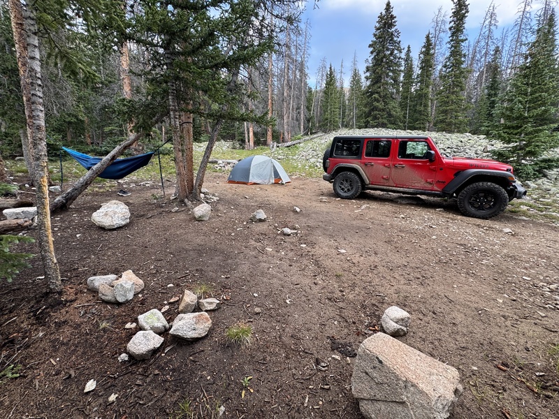
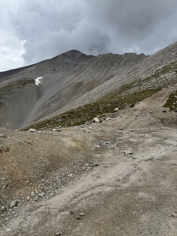
The 4WD road up Antero: I had previously driven this road with a normal clearance 4x4 SUV, like a Toyota Highlander. But today I was very glad to be driving it in a 4 -door Jeep Wrangler. The extra high clearance was magical. The main road before the turn off towards Antero starts paved then is easy 2WD dirt road for the last few miles. Just after the left turnoff towards Antero, the Baldwin Gulch road was probably the worst section of 4WD road. There was a heavy running creek about 0.1 mile after the left turn and I suspect that creek washes the road out regularly. If you can comfortably get past this first 0.1 mile, I would say the rest will be easy. There were a few single big rock moves on the road later that were also similar in difficulty, but nothing nearly as sustained as that first section of road after the turnoff. I was able to maintain 5-10 mph for most of the road, and other than the risk of knocking out a few fillings from the heavy bouncing, it wasn’t horrible difficult. Especially with the extra high clearance. We continued up the road probably a total of around 4 miles from the turnoff. There were two very easy creek crossings. And there were several decent camp spots. Ultimately we picked an amazing camp spot right around 11,500 ft elevation (3.5 mi from the main road). We pulled into camp around 5:30 pm, which gave us plenty of time to unpack everything, setup camp, eat some snacks, and prep our packs for tomorrow’s hike. Nolan even put up his hammock and chilled in it for an hour.
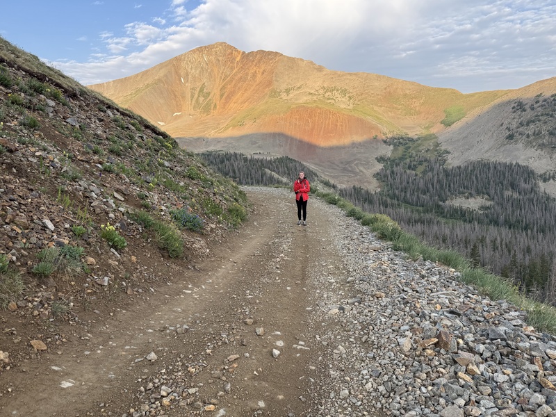
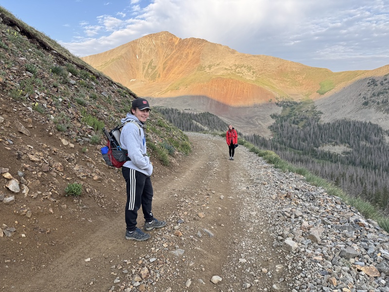
We got up around 6:30am and started hiking around 7am the next morning. Most of this hike is solid mining road. As we hiked the road, it was clear that we could have made it much further up the road with the Wrangler. But, if we did that, it wouldn't be much of a hike. As we hiked, two vehicles did pass us on the road (a Highlander, and a 2 door Wrangler). After an initial long straight section of road, the switch backs begin. The road switchbacks up the west face of Mt. Antero, until the trail finally circumnavigates around a sub peak, just south of Antero. As we went around to the east side of the sub-peak, there was a road over to Mt White (to the east) which was clearly popular with the gem miners. The were several vehicles parked near Mt White.
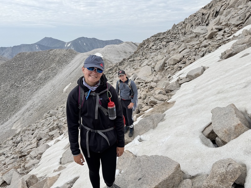
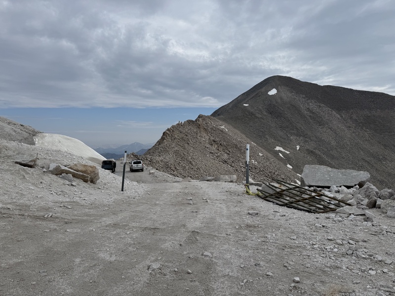
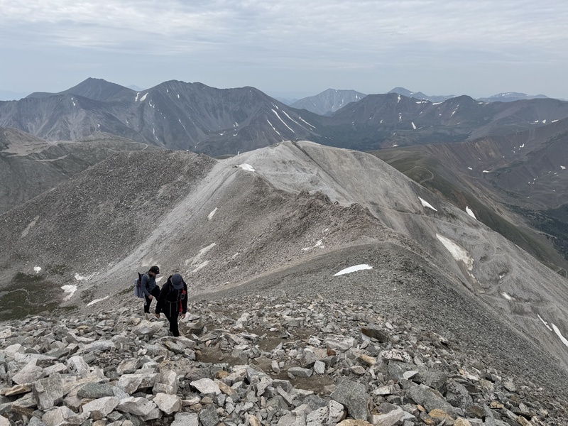
Soon after the Mt While turnoff, the road ends at a parking area, at the bottom of the Antero ridge. The remaining ridge hike goes north, to the summit. At this point, we are about 3.5 miles into the hike, and about 13,500 ft of elevation. After a short break, we started the final hike, up the ridge. The road hike is definitely over at this point. We followed various trail markers just below the ridge, on the east side of the ridge. During our descent, we determined that the better route would have been to stay closer to the top of the ridge. Ultimately, the remaining hike wasn't difficult, but it was bouldery, and loose, on a day where all the other hiking was easy road. We reached the summit in around 3:10 and GPS showed 3.95 miles.
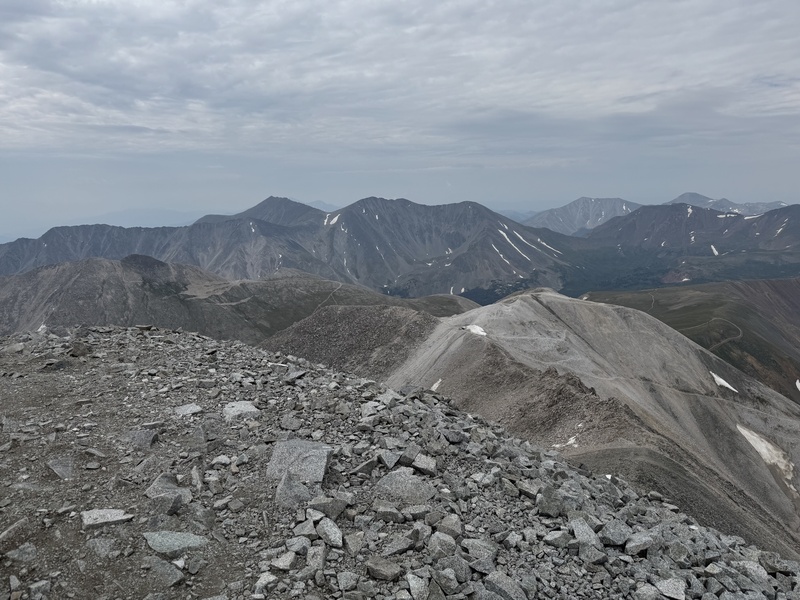
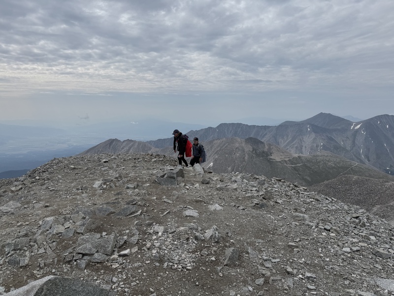
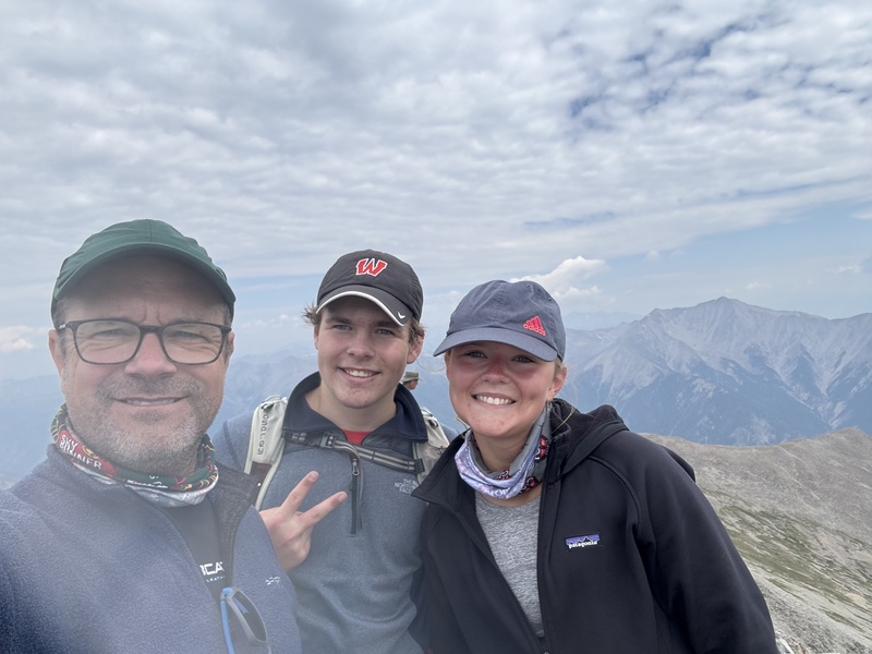
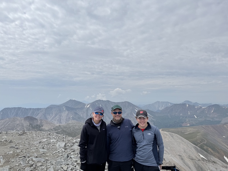
We spent about 38 minutes on the summit. It was a beautiful day. We refueled with snack and water. The descent down the ridge was easier, as we could more clearly follow the easiest path. As previously mentioned, we stuck closer to the top of the ridge during the descent. There was only a few spots where we had to find a slightly easier way down along the east side of the ridge. We got back to the road quickly, and continued hiking. The road hike down was easy, but as is always the case, it felt like it was taking forever. We ultimately got back to our camp site at 6:22 round trip time, and 7.9 miles. This was a great first day hike. Ultimately, the 4WD road drive was the most challenging part of the adventure.