Log In 

Mount Antero - 14,271 Feet

Mount Antero is known for its gemstone deposits and has one of the highest concentrations of aquamarine in the United States. The upper mountain holds many private mining claims, some of which are actively being mined with heavy equipment, making the area a bit of a mess. Via Baldwin Gulch, a rough 4WD road goes all the way to 13,900 feet on Antero, so it's a popular summer destination for more than just hikers. Antero is named in honor of Chief Antero of the Uintah band of the Ute.

The most difficult part of climbing Mount Antero is getting close to the summit; You'll either have to walk the entire road, resulting in a 15.5 mile roundtrip hike or drive/ride up the road. If you drive up, we suggest parking below treeline so your climb is more than just a cake walk from the end of the road. Above the active mine area, follow the standard route up Antero's south ridge.
  360° Panorama from the summit of Mount Antero.
360 Pano

Mount Antero from 13er Boulder Mountain.
pic1
Antero seen from the northeast.
pic2 pic3
Antero seen from Mt. Shavano.
pic4 pic5 pic6
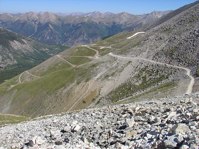
Taken on Antero during a hike to the summit.
pic7 pic8 pic9 pic10 pic11 pic12 pic13 pic14 pic15 pic16 pic17 pic18
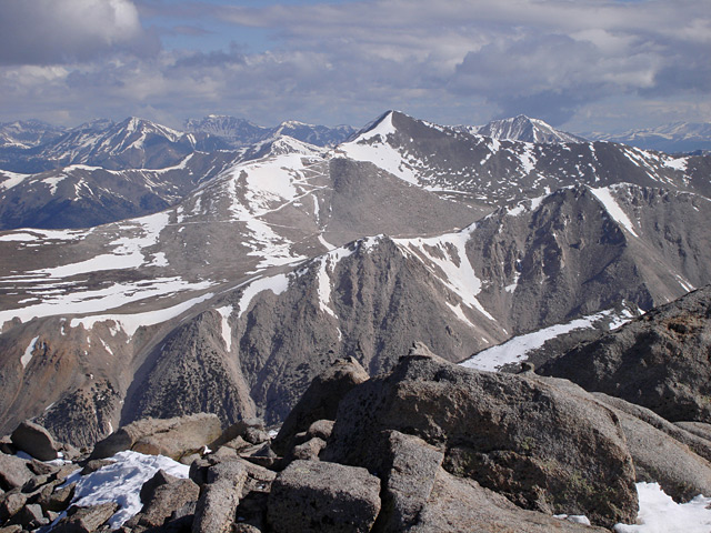
Antero seen from Tabeguache Peak.
pic19
Antero seen during a hike on Shavano and Tabeguache.
pic20 pic21 pic22 pic23
Antero seen from Mt. Princeton.
pic24 pic25 pic26

More Photos 


This page is only available to registered 14ers.com users. If you don't have an account, you can register in the forum.

Log In_