| Report Type | Full |
| Peak(s) |
Epaulet Mountain - 13,524 feet "Epaulie" - 13,537 feet |
| Date Posted | 07/11/2025 |
| Modified | 07/12/2025 |
| Date Climbed | 07/02/2025 |
| Author | the_hare |
| Epauloop: Epaulets from Abyss TH |
|---|
|
Epaulet & "Epaulie" from Abyss TH 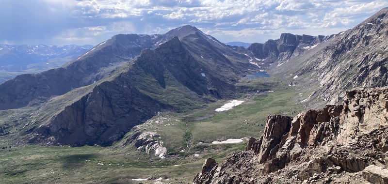
On behalf of my penchant for day trips and creative itch, I've been plotting nonstandard routes up Front Range 13ers. I've already made reports on Hassell Peak of the Pettingell group, Sniktau, Gray Wolf, and McClellan of Stevens Gulch. Some of these routes, however, are inevitably quite long, especially those in the northern Indian peaks & southwest RMNP. The aptly-named Epaulet Mtn & its twin "Epaulie" in the Blue Sky group land in this category too given their remoteness from trailheads other than the Blue Sky summit road. Additionally, after signing up for a 50k trail ultra later this summer and giving a couple training outings a shot, I discovered that yes I can in fact *run* on these mountain hiking trails without tripping over rocks and roots too much. It actually felt good jogging up gentle grades, seemingly boosting endorphin release more than just trotting across flat ground. It feels extraordinary and superpowered too in the same way that riding a bike comes as close as most of us will get to flying under our own power. After running for a what only seems like a little while on trail, I realize I've gotten so much farther ahead with not that much more exertion that I almost wonder if I've just teleported. Perhaps with its constant silhouette looming beyond Denver, I felt drawn to chip at the Blue Sky group and give this loop a shot. Originally my inspiration for this route came from this enjoyable report from user Corey17. He starts his fall hike along the Abyss trail through its golden groves then branches off east upon the Rosalie trail. After passing through the path's willow flats, he strikes off uphill towards what I call the "back" ridge connecting the two "Epaulets" (epaulets are decorative shoulder pieces sometimes seen on military dress uniforms--on topo anyway the Epaulet peaks and the shallow drainage between them look pretty similar to shoulder blades and a human back). He tags the summits then descends the gully used for the Tour d'Abyss route near the Mt Blue Sky road to rejoin the Abyss trail and return to the TH. 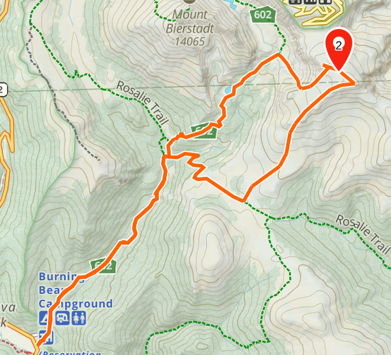
I was open to changing some details and direction of the loop, but I didn't think about it too much until it came time to decide one way or the other. So, I arrived at the TH on a fair-weather early summer day and took off up trail. 
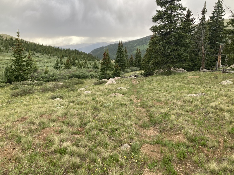
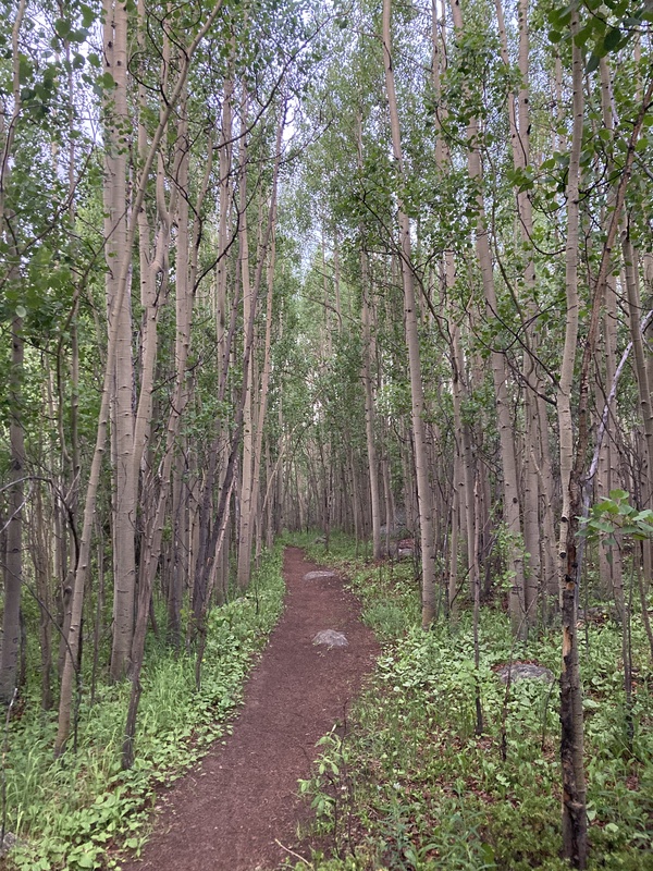
The first 3 miles before the second creek crossing have an easy grade and mostly flat and wide surface making for some quick distance covered. As it turns out, this creek the trail follows is the same Scott Gomer Creek originating from the other side of Bierstadt which circumambulates halfway around the mountain and flows out south here. The trail gets a bit steeper and rockier after the second crossing, but this didn't continue for too long before the first trail junction near an open marshy pond. 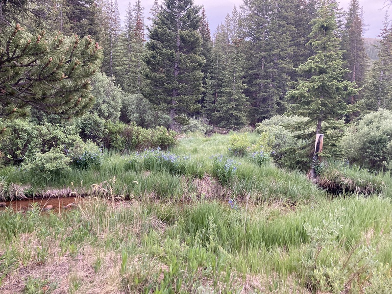
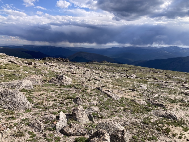
This was my decision point: should I break off and ascend the gentle "back" ridge from the Rosalie trail or continue on the Abyss trail and scope out a way up Epaulet's halting west flank? Although the forecast had a low chance of precipitation and storms, I took stock of some larger clouds with grey underbellies drifting towards the ridge. I didn't want to be exposed up there if anything started crashing down, so I figured I'd remain on the Abyss trail. If the weather did deteriorate, then at least I'd be able to appreciate Helms lake at the general protection of treeline and call it a worthwhile outing. To continue from here, though, I made a shortcut to save a tiny bit of circuitous mileage by hopping the creek and joining the rather faint last segment of the Rosalie trail heading north up to the Abyss trail. This is pretty unnecessary though and I nearly rolled my ankle in the clumpy marsh grasses. I did see what looked like as best as I can tell some delicious king bolete aka porcini mushrooms on this jaunt though! 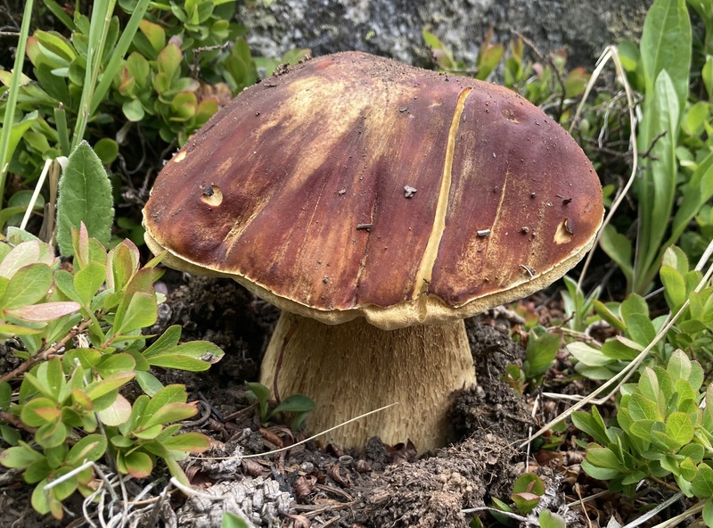
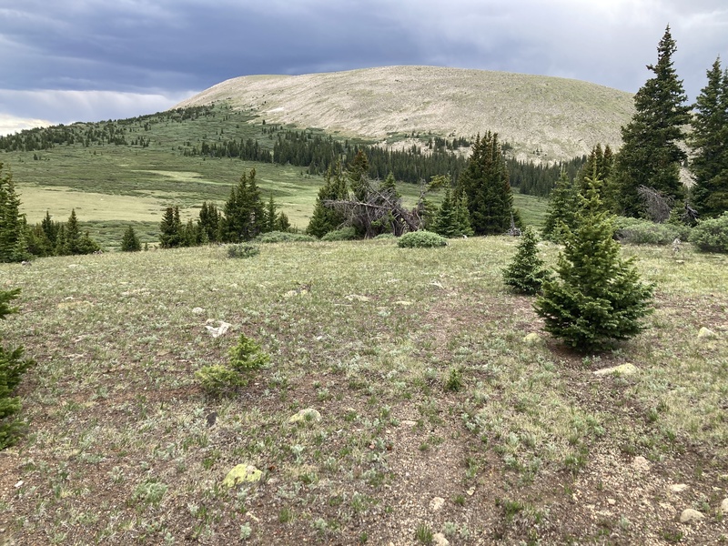
After rejoining the Abyss trail the path is much less friendly to running given the steeper rocky switchbacks and higher elevation. I pressed on towards the lake but slowed my pace to take in the majestic basin cliffs of this south end of Bierstadt. It's really too bad that the Front Range's most beginner-friendly 14er is mostly seen from its less comely near-featureless hillside while this area remains completely hidden from view. 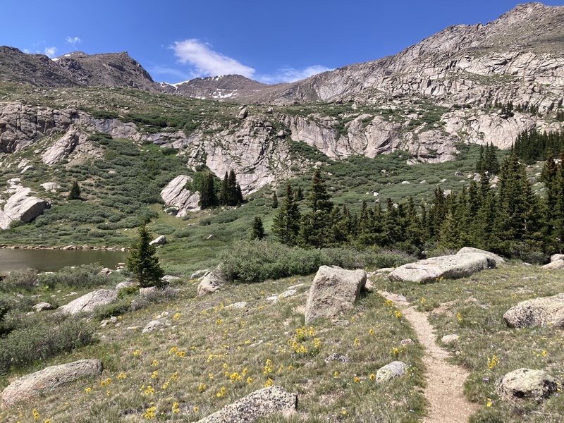
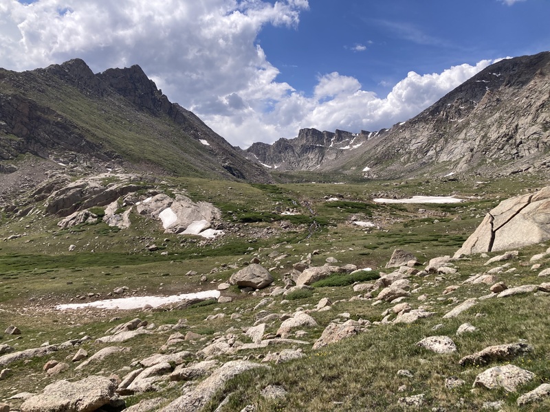
I took a break at Helms lake while contemplating my ascent route up to the Epaulet back ridge. At this point the clouds over the ridge I had been surveilling had dissipated and I didn't observe any increasing convection--continuing on was a go! Yet Epaulet clearly stood sentinel over its half of the basin and its crumbling scree slopes offered little reasonable option to reach its peak. I admittedly didn't look ahead to verify where the Tour d'Abyss gully was, although I was keenly eyeing an inviting lesser-grade grassy slope up to the ridge. 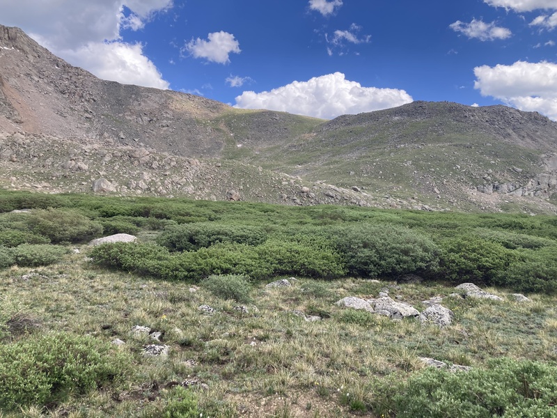
Between me and that slope was an impassable willow maze, but this I knew thinned out a bit further up the trail. Past Helms Lake the path became pretty marshy yet didn't quite reach Sawtooth descent levels of puddle jumping and wet feet. Soon enough I reached the last creek crossing where I made sure to refill my water since I wouldn't have reliable access again for a while. After topping up I skipped across to continue my journey off-trail. 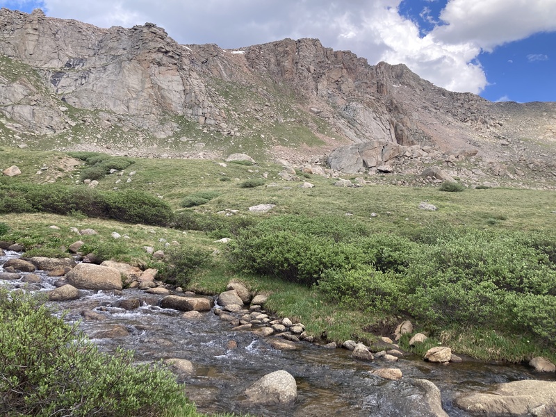
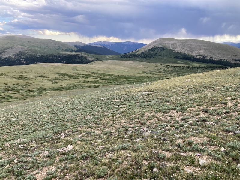
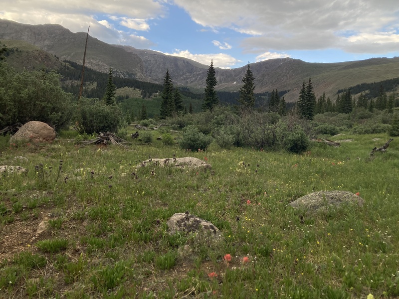
The first obstacle on the way to the grassy slope was a rocky moraine. Looking back from here on until I reached Epaulet presented me with stunning vistas of the Abyss lake basin presided over by the stately formations of Bierstadt E ridge, the Sawtooth, and Mt Blue Sky slabs. I find it interesting that the Sawtooth is made up of many epaulet-like formations as well, as if the Blue Sky massif's subsummits eternally shoulder their way through their lieutenant pecking order. 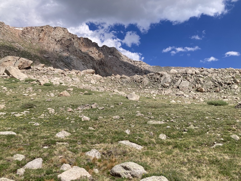
The top of the moraine gave way to a flat rock garden area with enormous boulders surrounded by alpine grasses and spongy moss. I really enjoyed this small but peaceful area imagining it as the zen garden of some mountain giant. I peeked in the caves here to see if I could find any evidence of something more tangible having sheltered there. After learning about archaic hunting diverters and pits in an area not too far from here and uncovering plenty more recent artifacts, you never know what you might find so far off trail! A narrow, snow-filled ravine lay between the edge of the rock garden and the base of the grassy slope which easily supported my weight as I crossed. 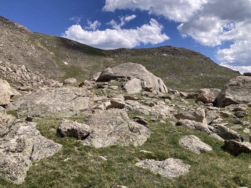
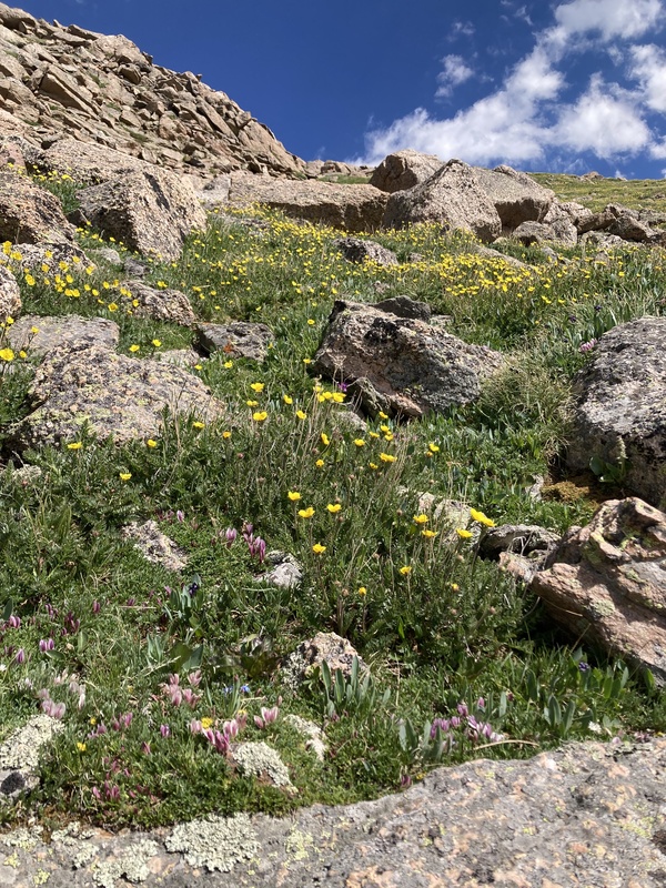
The 600ft gain on the slope was stiff, but at least I had plenty of company in wildflowers and spectacular views behind. I spent some extra effort going up a longer branch off to the left but should have just kept going up the obvious path of least resistance to the right to save my legs. My calves were getting cooked both by the sun and the aggressive slope angle. 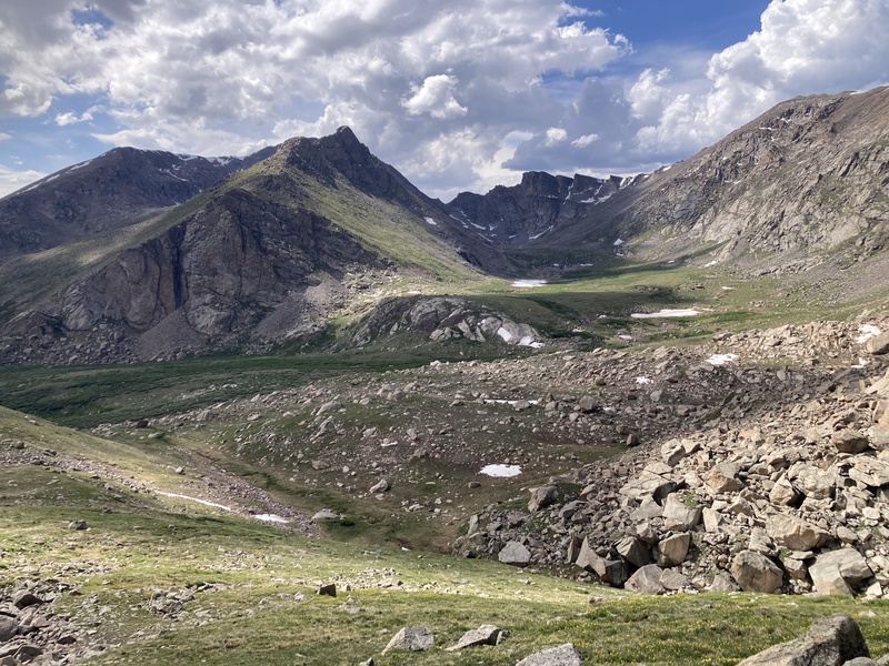
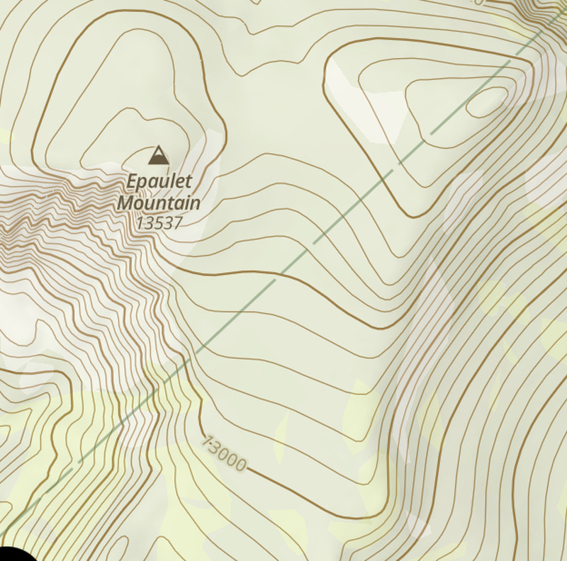
After a much-needed break atop the ramp, I could see the final stretch to both Epaulet and Epaulie across the ridge. Normally I would be stoked to clamber around the boulder slabs on Epaulet, but my legs were not having it after running up this way and hoofing it up the steep hillside. I didn't even feel much like walking over to the less rocky Epaulie just to orphan Epaulet either. I truly considered turning back here and ascending the much easier grade back ridge instead for another training day. I did gather from the topo that the jumble of blocks was less precipitous on the NE side of Epaulet beyond my view, but in my worn-out mind that looked blocked by a large snowdrift. 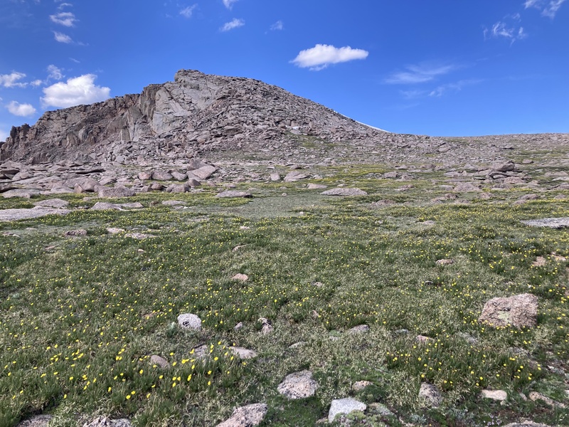
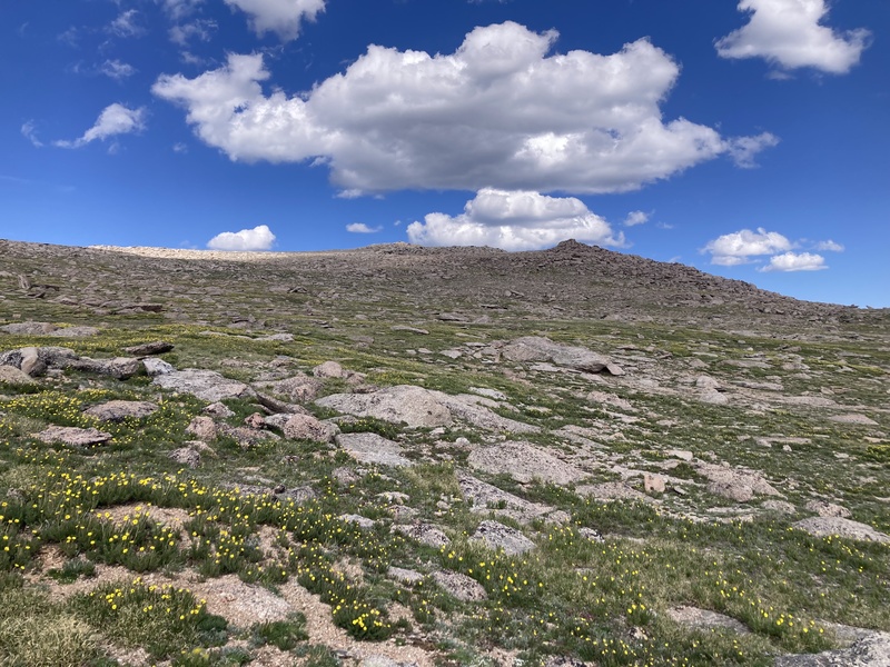
I decided to keep pushing a bit further up to the base of Epaulet and decide what to do from there. When I got to that point I pressed on a little further and noticed a much more accessible rocky path left by the toe of the snowdrift reaching nearly all the way to the summit. With not much effort and a refreshed morale boost I enjoyed the last bit of scrambling to Epaulet's summit block. 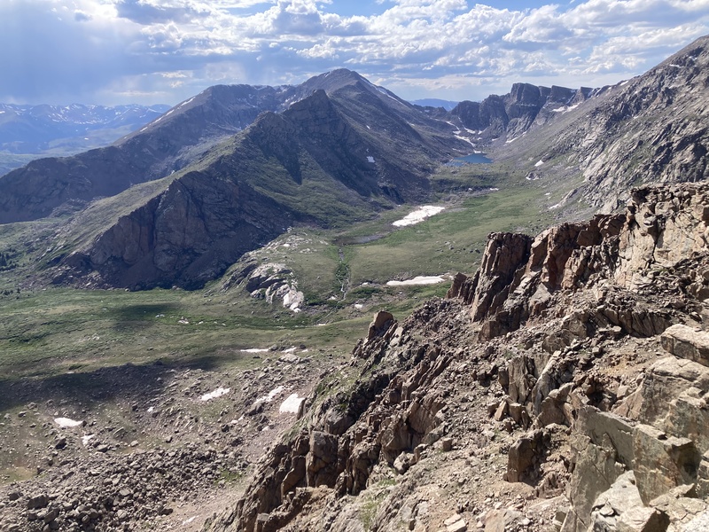
There's three points atop Epaulet that look similar in height enough to be the true summit. The one I first encountered to the SE ended up being the tallest with better pictures available closer to the cliffs towards the west. After pushing through for this peak I determined that I could also complete its twin across the ridge. I powered across the slabs and soggy plain between the two points and on up the gravelly hilltop of Epaulie for the last elevation gain of the day. After clambering upon its summit, distant views of Denver to the east and the way back to the south met me from afar. 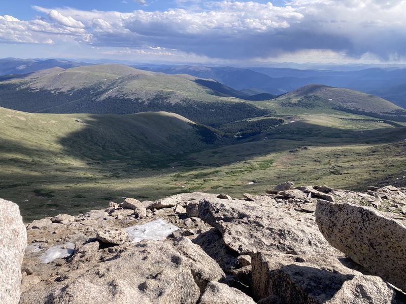
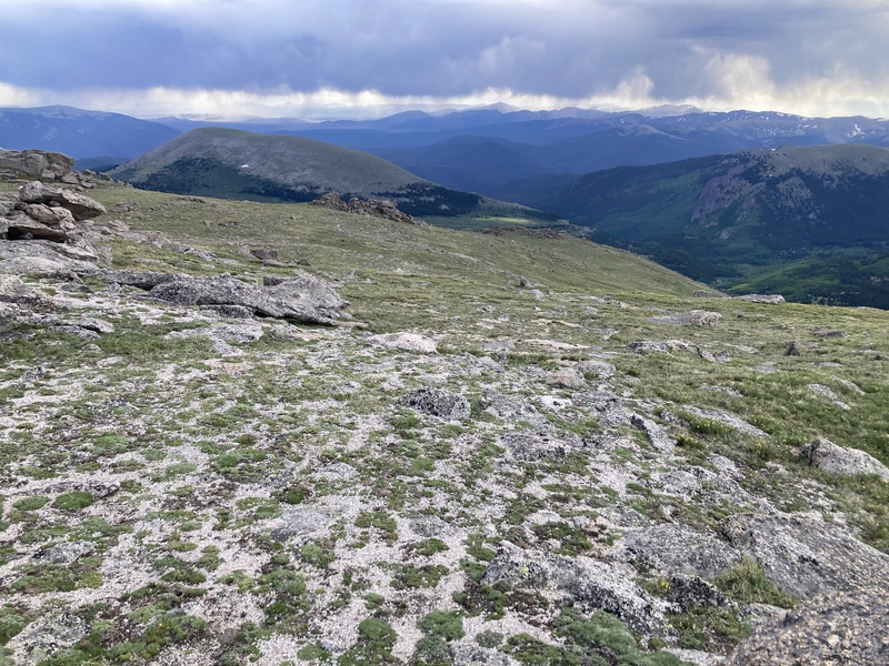
This next section heading down the "back" ridge between the Epaulets on down to the Rosalie trail remains the most impressive and surreal in my memory of the day. Breaks in the the clouds of a still-distant summer shower spotlighted sunbeams upon the gravelly tundra. Stony outcroppings emerged like mysterious ruins spaced down the gently rolling ridge. Marmots frolicked and sheltered among the mounds, each alerting the next of my hasty movement like a string of signal fires. The broad yellow heads of Old-Man-of-the-Mountain wildflower patches eerily all faced east, bowing in the breeze before the boulders like pious pilgrims. 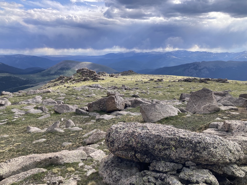
The ridge curves west towards its end before which I needed to exit south to most directly meet the Rosalie trail. To my surprise I noticed an old unmarked double-track road scarred into the hillside below. I headed towards that partly out of curiosity and also figuring it would make for an easier and less-destructive off-trail path. Judging by the young willows that had rooted in its ruts, it had been decades before the track was last travelled. The tundra soon swallowed up all trace of the road so I continued on to the willows below. 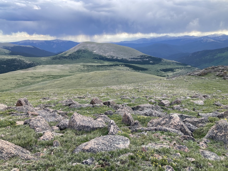
I aimed for the wide breaks in the willows while dodging swampy springs and rediscovered the doubletrack. At this point I wanted to make sure that the spruce stand and potential willow embankment out of sight below this spacious hill were navigable. Incredibly, even in the middle of this remote area I was still able to catch a bar of service to verify satellite images on the 14ers app. Satisfied, I followed along the old road as it led towards the trees. The various states of vegetation recovery were remarkable. At times the tundra grasses filled in the scar's furrows, but elsewhere the gash provided a foothold for significant erosion over the years. 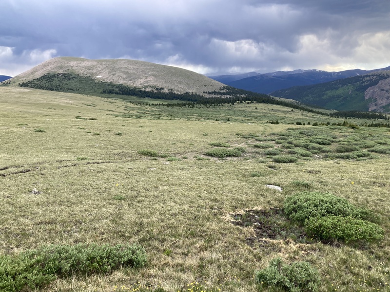
At the edge of the hilltop I could now see my last stretch of off-trail navigating before I rejoined the Rosalie trail below. I passed through a gap in the willows and found the barely-beat in footpath. I figured this trail didn't get a lot of traffic but I didn't expect it to be so faint--I've seen more obvious game trails than this! Directionally, at least, the way isn't hard to follow as it heads due west towards the Abyss trail. As the path entered taller willows I tread carefully and kept my head in a swivel so as to not startle any moose. The trail exited the willows near a knoll to the north and curved around it. After this, the path was as clear as any back down to the marshy shortcut I used that morning from the Abyss trail. 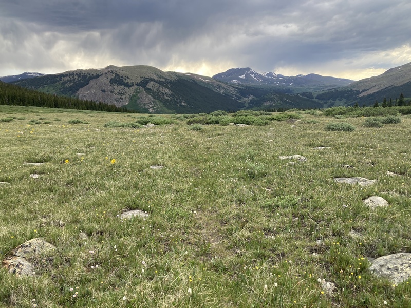
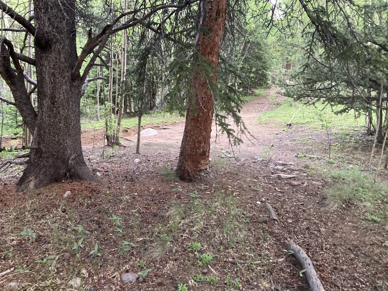
A larger campsite marked the brief bypass back across the weedy drainage to the Abyss trail. From here it was it was just a 4 mile jog under sprinkling evening skies to the trailhead.
Overall while running as I was able up and down this route, the 17.5mi & 4000+ ft of gain only took me 8.5 hours from car to car. I held off on attempting this before I started trail running due to these stats and was amazed I was able to finish it starting at noon and ending before dusk. I'm definitely not the fastest hiker compared to other power-peak taggers, but running this route assured me that I can complete big days in good time too. It's inspired me to branch out and contemplate other more obscure longer peak trails to train my agility and stamina. I'm really glad the route itself turned out well too. The Abyss trail is very mellow and runnable with scenic forests. For those not interested in running and splitting up the distance, dispersed campsites abounded along the Abyss trail. The Abyss basin and Helms Lake were gorgeous and I could have spent a lot of time taking in the scenic, almost rainbow-colored lichenated cliffs. The many creeks and drainages along the way offered plenty of water to fill as well. I'm also glad the grassy slope up to the Epaulet ridge went so well especially compared to the alternative loose gullies. I've thought about whether it would be better to descend this ramp and ascend the gentle back ridge in the other direction instead, but I guess it comes down to personal preference and current conditions as I had to figure. I enjoyed striding down the ridge although it is exposed to weather, and the slope was a bit rough uphill yet short-lived. Navigating off-trail overall was simple given the long sightlines which also offered rare and incredible views of common peaks. Most of the joy in charting routes like these comes by discovering unforgettable otherworldly areas and doing my best to share the experience. Thanks for reading and happy trails! Thumbnails for uploaded photos (click to open slideshow): ")
")
")
")
")
")
")
")
")
")
")
")
")
")
")
")
")
")
")
")
")
")
")
")
")
")
")
")
")
")
|
| Comments or Questions | ||||||
|---|---|---|---|---|---|---|
|
Caution: The information contained in this report may not be accurate and should not be the only resource used in preparation for your climb. Failure to have the necessary experience, physical conditioning, supplies or equipment can result in injury or death. 14ers.com and the author(s) of this report provide no warranties, either express or implied, that the information provided is accurate or reliable. By using the information provided, you agree to indemnify and hold harmless 14ers.com and the report author(s) with respect to any claims and demands against them, including any attorney fees and expenses. Please read the 14ers.com Safety and Disclaimer pages for more information.
Please respect private property: 14ers.com supports the rights of private landowners to determine how and by whom their land will be used. In Colorado, it is your responsibility to determine if land is private and to obtain the appropriate permission before entering the property.


