Ben and I set up a shuttle for this outing, with my car at the Deep Creek Trail, and his new Nissan Frontier at the Whipple Mountain trail. The road in between is mostly docile 2wd - just need a bit of clearance - but the short narrow branch to Whipple is more treacherous and had had larger, water-filled pothole where the Frontier actually hit bottom.
With the shuttle, we traversed these peaks from west to east, starting a bit before 6:30 am and finishing about 4:45 pm. Strava showed 14.2 miles and 7,359' of elevation gain for this outing. The gain surprised me, as I expect we saved at least 600' if not more like 800' by staying on the ridge and not dropping into the basin, but the ridge must hold more ups and downs than apparent. Ben's strava showed something between 7100 and 7200.
In planning this day, I found prior reports from Furthermore, Bergsteigen and Supranihilest to be helpful - thanks, Derek, Otina & Ben! It was the report of the downed timber in Ben's report that helped me convince Benners that my proposed route over S10 would be a fun alternative.
There is no camping allowed at the Deep Creek trailhead and it sits right on the edge of a Telluride housing development, but we quietly car camped it, and enjoyed a fantastic sunset view of Lone Cone.
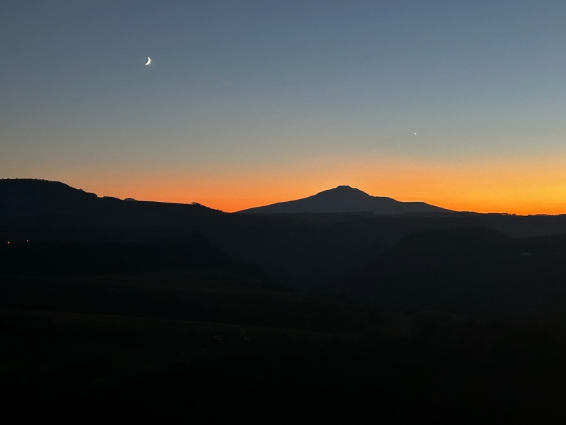
We rose the next morning to drive the truck up to Whipple. It took about 45 minutes to drive between the two.
The Whipple Mountain trail is no nonsense: it makes short, steep work of the distance, and the switchbacks are welcome aids. Once we gained the ridge, we, headed up to 12er S10. This was a fun peak and it gets a decent amount of attention, as we followed a trail that made efficient work across the west slope to then gain the summit from the north. Once on S10, the daunting length of the twisting ridge becomes apparent, so we allowed only about 10 minutes for a summit snack, and continued northward on the ridge.
Our next stop would be the peak formerly known as S10, now curiously called the "corpse." Shown below, unranked Hayden Mountain is the point on the skyline with sunlit below it, the Corpse is the unremarkable little point to its right, and S9 is the larger mass right of center.
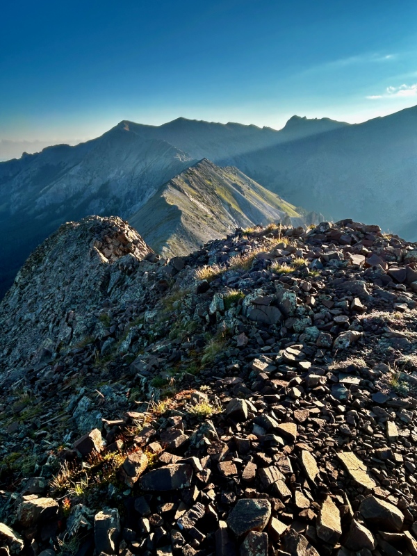
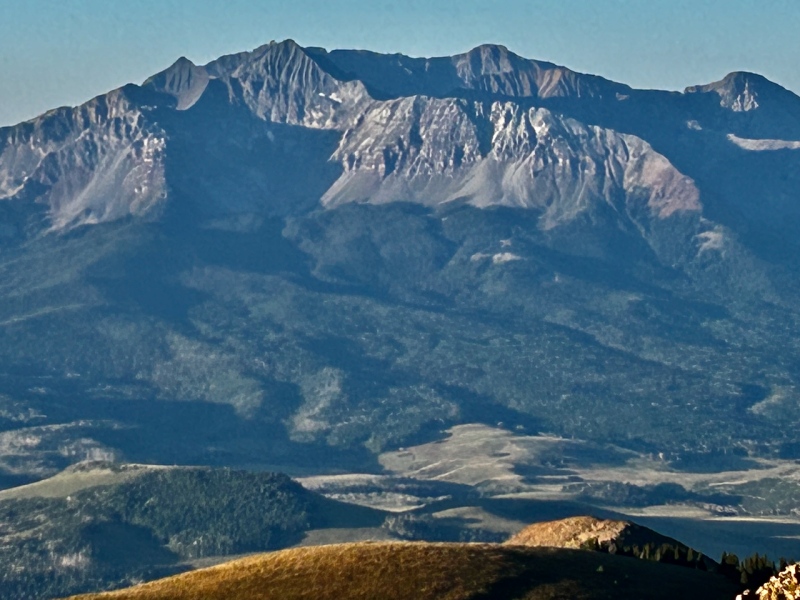
With the low-risen sun glaring at us from the east, it made sense to take a moment and look west, to the photogenic Wilson group. Never a dull moment on those beauties.
Assessing the ridge to Hayden, it looked mostly benign. The lone area that looked potentially problematic lay in the broken ground before the prominent rise in the ridge. Ben made quick work and I less quick work of the easy class 2 terrain. Apologies for the poor quality of the next image, as the angle of the sun interfered with photographing our route.
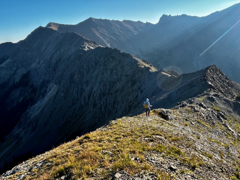
35 minutes of steady progress brought us to a convenient set of ledges to drop down to the east, with the area of interest ahead. We made a bee-line from the ledge in the foreground across the talus to the rock below that crazy folded morass that made me think of an ear of some titanic elephantine creature.
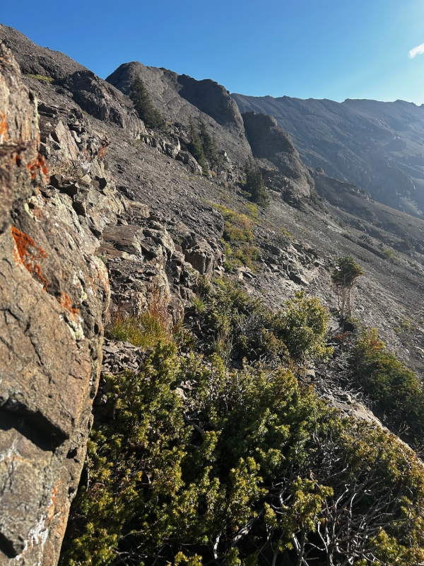
I enjoyed this section more than any other we encountered the rest of the day, owing to the solid rock. Moves were class 3.
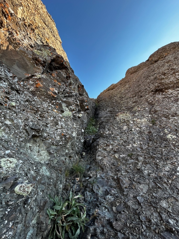
Follow the seam left for us by a metamorphic Betsy Ross!
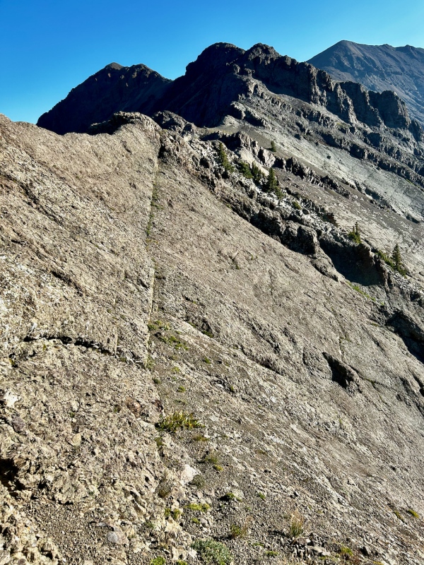
Here's Ben making some of the more gingerly moves, with S10 basking in the sun far back from center. It had taken us just under an hour to reach this point from S10.
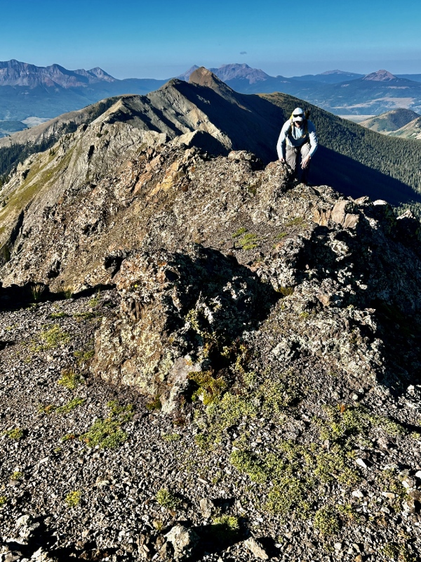
From here, it was a mere stroll over easy terrain to reach the Corpse. I thought we might round over the top of unranked 12er Hayden, but as we neared it, staying ridge proper held no enticement. It was no more interesting but far more expedient to contour beneath the curve of the ridge from northward to eastward, and back to the skyline to reach the Dead S. This portion of the trek was deceptively longer than expected: it took an hour and five minutes until I stood on the summit. I promptly sat down and foraged in my pack for some nutrition.
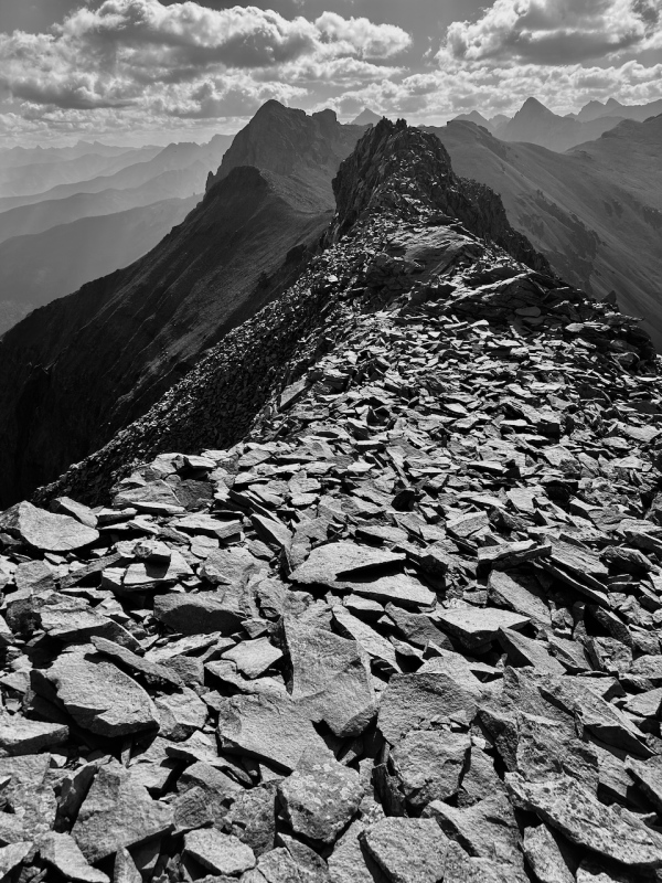
We stayed 10-15 minutes, before trekking forward to S9. After the long stretch between 12ers S10 and Dead S/the Corpse, S9 and S8 stood much closer together. Then we'd have another long stretch to Mears.
A use-trail off dropped off the ridge to the south as we progressed to S9. The summit pitch would involve some exposed technical climbing for those wanting to make right up it from ridge. We took the steep pedestrian route up the talus below the summit rock, hugging its lower edge to regain the ridge on the southeast and loop to the top from there.
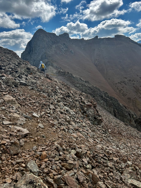
From the angle we took, S9 made for short and easy scramble, really just 2+ kind of stuff. Below is a glimpse as we headed back down.
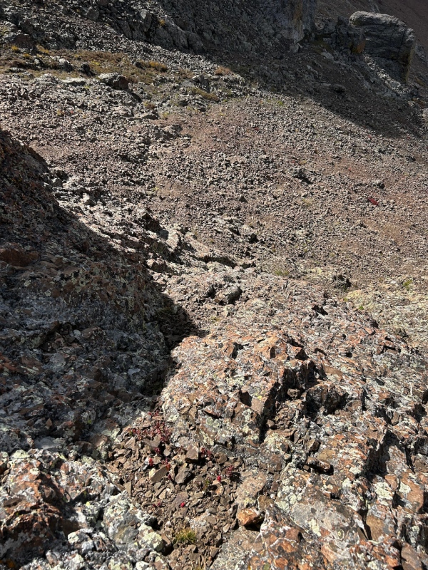
Starting the short jaunt to S8, I found a rarity: something other than rock along this ridge.
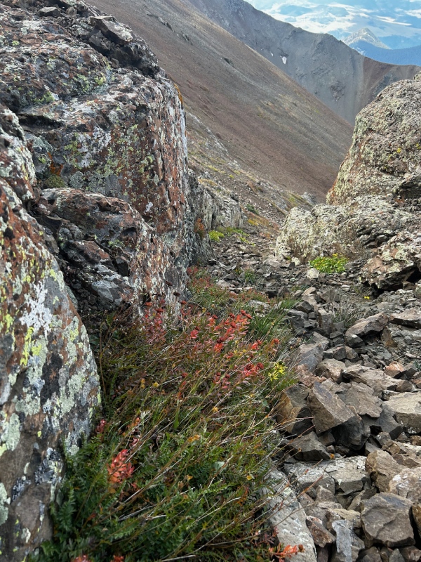
While the traverse from S10 to the Dead S held the most interesting rock of the day, the shorter, convoluted line stretching from S9 to S7 held the most interesting views of the day.
So near and yet so far: Mears Peak loomed enticingly close to us from S8, if we let ourselves disregard the bulk of the ambulating ridge to reach it that looped far to the south, out of sight in the picture below. Monarch and namesake of the range, Sneffels, appears as shadowy and menacing as ever at far left.
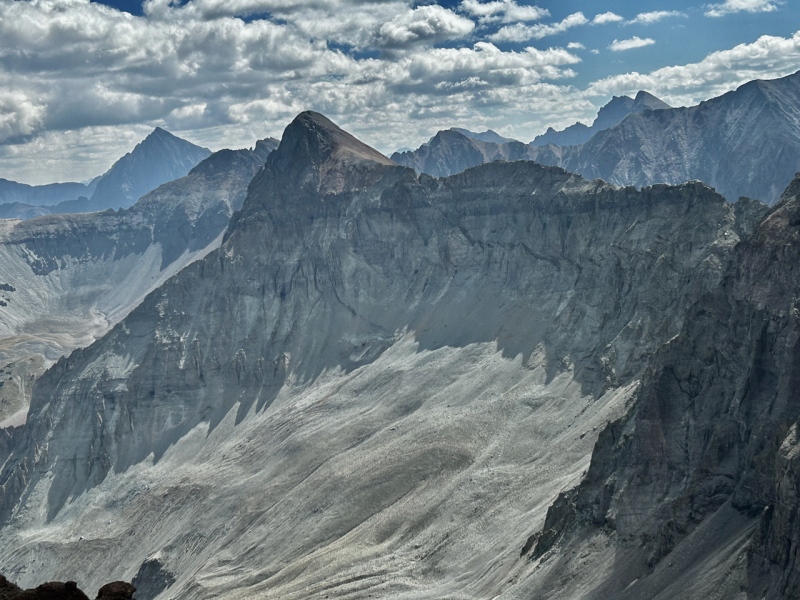
A view back to S9 from the top of S8. It took barely a half hour to reach S8 from S9, as the distance between them is short.
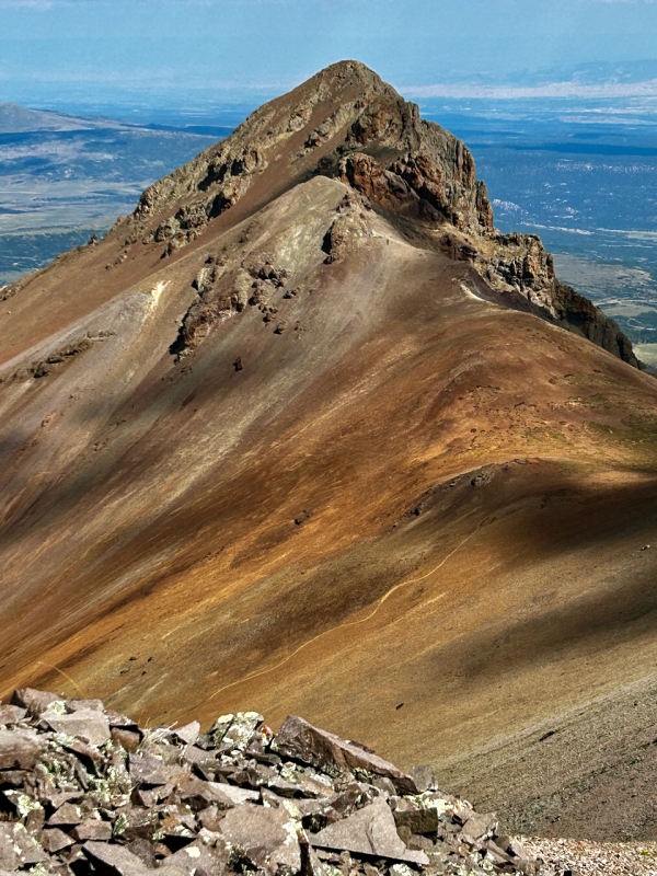
An opening along the ridge to S7, with a view of Mears.
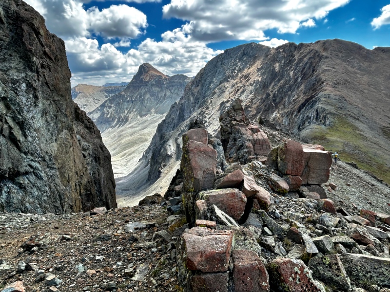
Here's a glance back at S8 and S9.
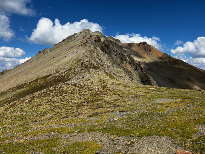
And now back to business: nearing the summit of S7, with the reddish south slopes of Mears peeking out from behind and right of its grey dome. The building clouds got a little dark for comfort, but proved harmless.
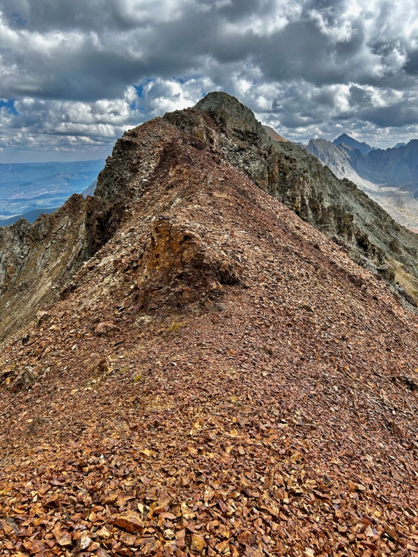
The rock quality to the top of S7 required the typical proceed-with-caution mandate typical of the San Juans. That said, we compared it favorably to the peaks in the Elks that lay NE of Buckskin benchmark, and I found it much more agreeable than the garbage littering the Boskoff group. Those are not high accolades, though.
With clouds and poor rock, neither of was inclined to lounge on S7 and we continued along the gray decay toward the day's final objective.
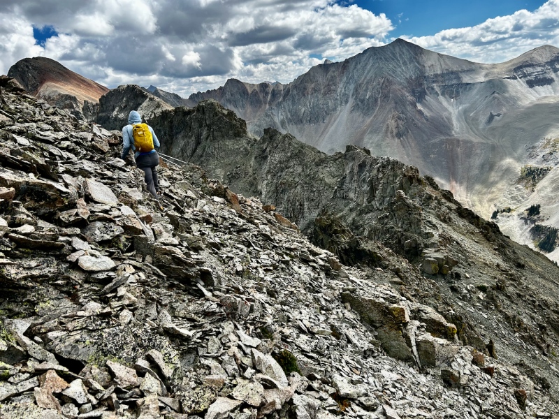
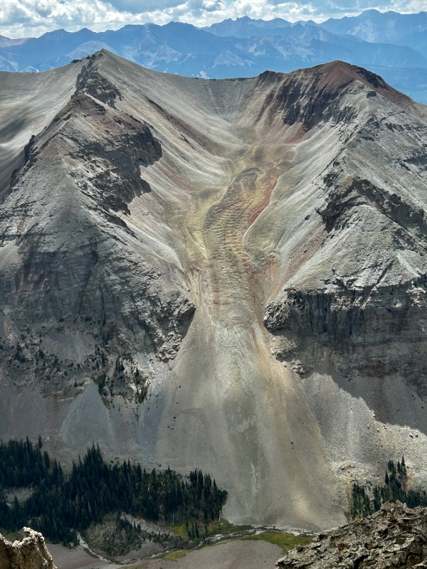
En route to Mears, I looked southward to the miserable ridge of Campbell Peak that leads to T0. I found an odd beauty in the rock glacier pictured below.
Bypassing a gendarme on the south side, we took on the next, finding reasonable passage let of the high point.
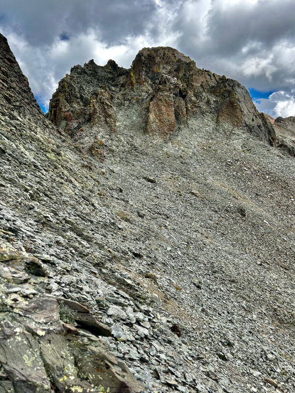
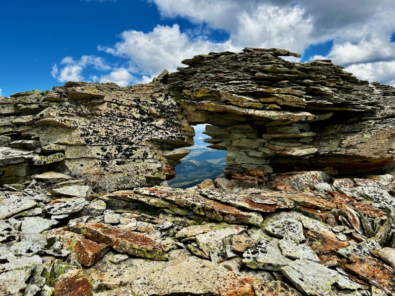
Back atop the ridge, with Mears finally near at foot, I found the most peculiar feature of the day. This window sits on the ridge proper and appears rickety for all but the smallest marmot. As with all prior obstacles we didn't surmount, the way lay just off to the south, as the north side of this ridge is consistently sheer.
Finally, just prior to 1:30 and roughly 7 hours from stepping out on the Whipple trail, the talus stew summit pitch up Mears lay at the tip of my toes. It's a short distance from here, and it took 25 minutes. Class 2/2+ clambering and shuffling.
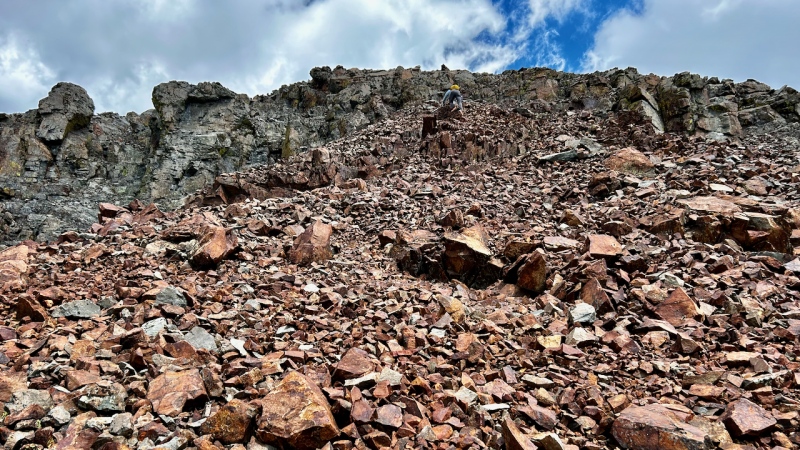
A look back at this point is a much better vantage than Ben's backside. (No offense, Ben.)
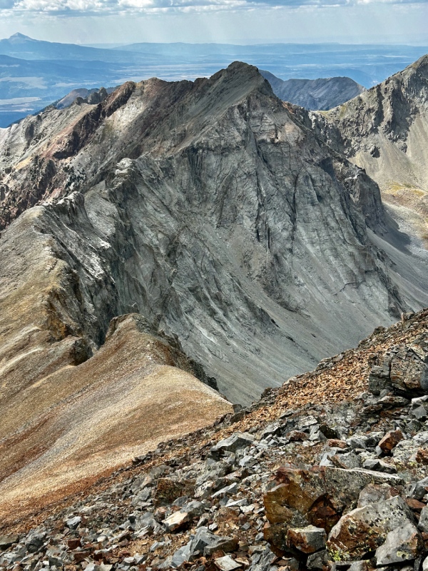
We'd read through the commentary on supranilest's report of this group. https://www.14ers.com/php14ers/tripreport.php?trip=20895
Therefore, we sought the less terrible descent described by dhgold ("two or three hundred yards" west of the Mears summit). The way down held vivid colors,, but as far as a descent off the mountain, we looked in vain for a way that would be merely tedious.
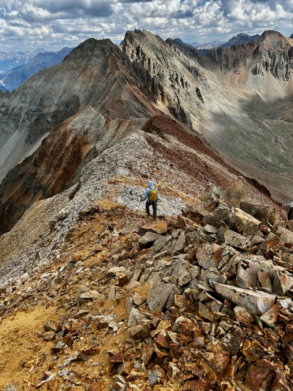
To venture to the triangle point where the ridge juts left in the preceding photo seemed too far, based on what we read, and seemed to hold no better promise, so we settled on a likely-seeming, not-too-bad looking slope of red and yellow scree and talus. Low angle, definitely doable, but not enjoyable.
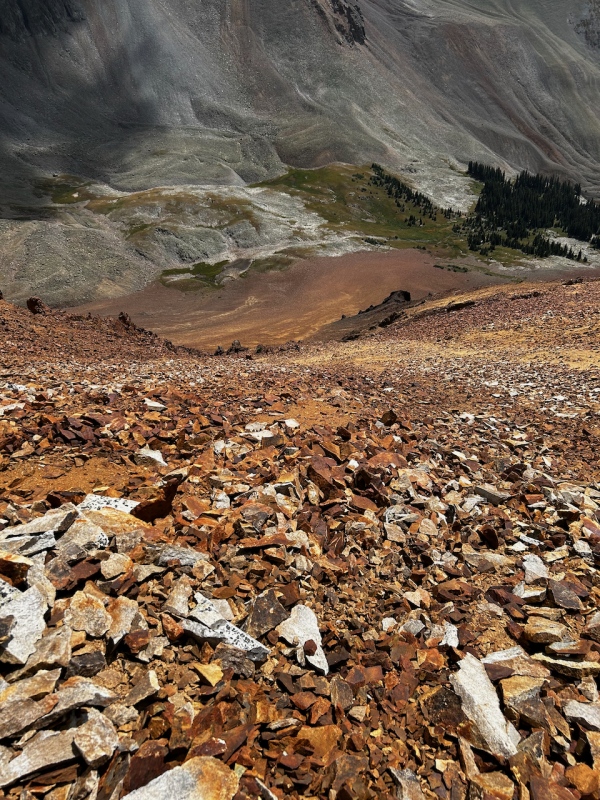
Ugh. Without poles, it took me forty minutes to pick and slide my way down this junk. Ben fared better with his poles and enjoyed a rest while he listened to my language that was more colorful than the rocks. All of the debris on top is too big so scree ski and the entire slope is kitty litter or hardpan beneath it. I fell on my ass thrice. The soles of my topo boots, which were 5 years old and showing their wear, were shredded.
Down in the comfort of the basin, we headed west, looking to intercept the trail. The trail dies out much earlier than shown on the map; also, the natural way downward will take you to the creek rather than the hundreds of yards of talus on the northern section of the basin. After leapfrogging the slender creek several times to negotiate the vegetation clustering along its banks, we linked short sections of game trails among trees (which were a novelty after so many hours spent on talus) and then we found the trail in the - you guessed it, talus. I surmised the trail is from an old mine in the area.
We made our way down the Deep Creek trail, which held the annoying propensity to revert to talus, even once down among the aspen. But, we also found a refreshing spot with streamlets falling down a cliffband. We stopped to enjoy this oasis, taking off the shoes and socks to cool the toes, dousing the hats and sipping the water from the rock.
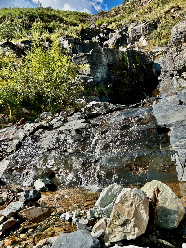
The rest ended, we headed the last few miles down the trail to the Deep Creek parking lot.
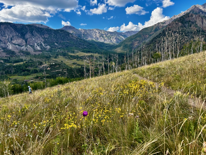
Once there, we drove back to the Whipple Mountain trailhead for Ben to retrieve his truck. Continuing north, we stopped at the pullout near the Alder Creek trailhead, where we set out the chairs to enjoy grilled brats washed down with quality Colorado IPAs, while taking in the expansive views to the west, contented with another remarkable day spent in the San Juans. Also, we appreciated the goodwill of strangers. After Ben efficiently set up his camp table and grill, he realized he had no lighter or matches. I searched my car and came up empty. The post-climb reverie would have failed had it not been for two jeeps moving en route from Telluride over to the Ouray side, who shared a lighter. It was our luck that the Imogene Pass race had closed the road to jeeps, or these kind souls would not have passed our way.