
| Report Type | Full |
| Peak(s) |
"Fortress Peak" - 13,246 feet |
| Date Posted | 09/11/2023 |
| Modified | 09/12/2023 |
| Date Climbed | 09/02/2023 |
| Author | JQDivide |
| Additional Members | RyGuy, FoodieHiker |
| This one is going to erode |
|---|
|
Fortress 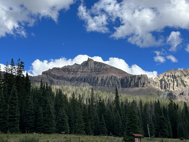
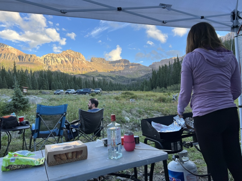
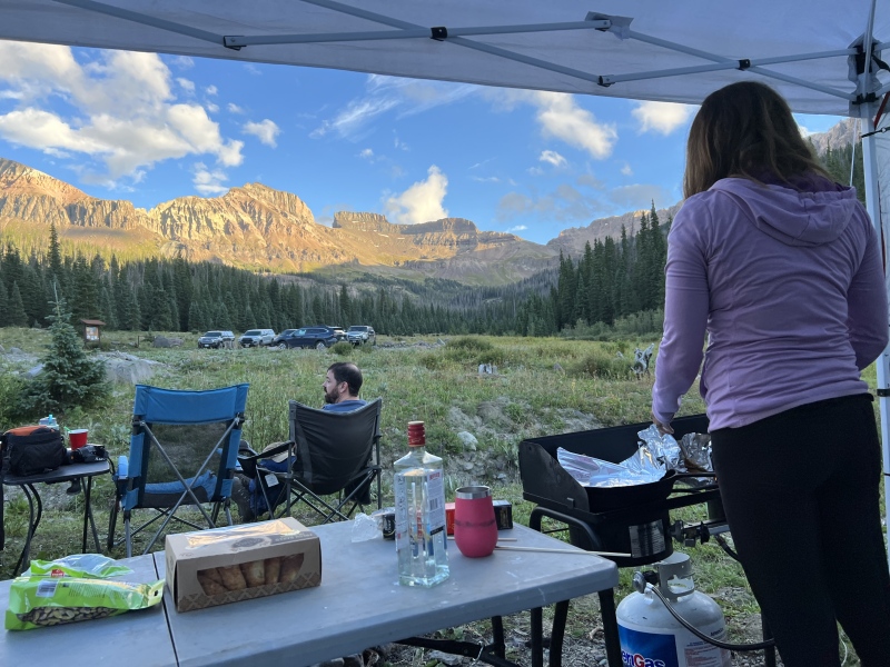
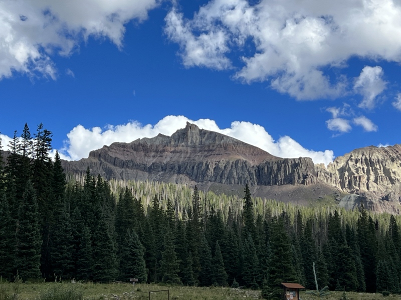
Labor Day weekend plans were late in getting set. But Anastasia and Ezra had some ideas. We headed out Friday afternoon for the San Juans. Got a quick lunch in BV. Then headed over Monarch Pass. We never made it. Our Suburban died going up the pass. We pulled over. Tried again. It died again. We thought our best option was to turn around. Long story short… we actually made it home. Cracked open a bottle of tequila and made some Palomas and sat around a fire on the patio. Definitely not the mountain view we expected, but Pikes is still nice. We called Ryan and talked him into coming down and going for a second try in the morning. On Saturday, our three-vehicle convoy made it to Ridgeway for a stop at GNAR Tacos before heading into the Cimarrons. We set up camp just right before the Wetterhorn Pass trailhead on CR 860A. There were several cars there, some of which stayed all weekend. We hung out at camp looking at the peaks above us as Staci cooked dinner, gnocchi with pancetta in a homemade alfredo sauce, and come spicy sausage. 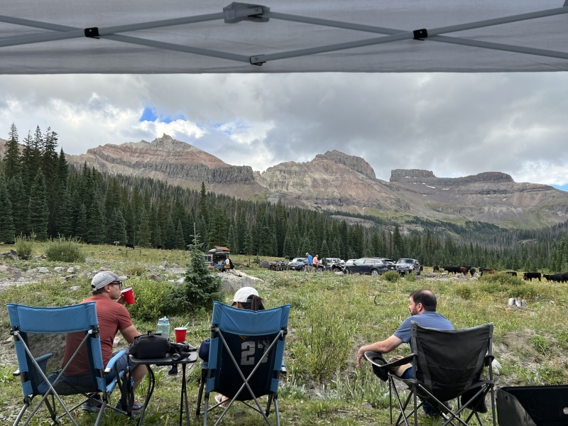
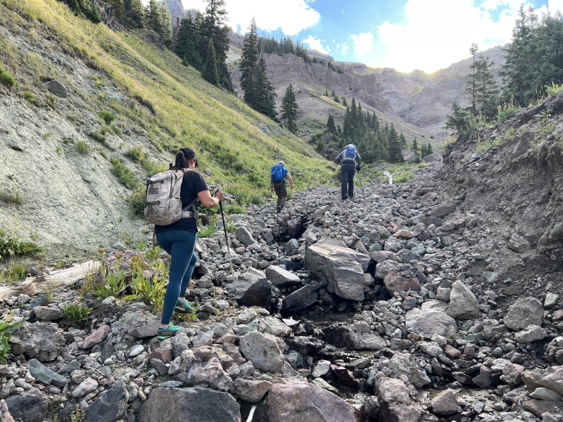
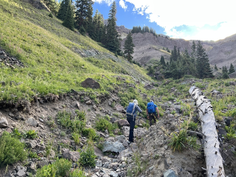
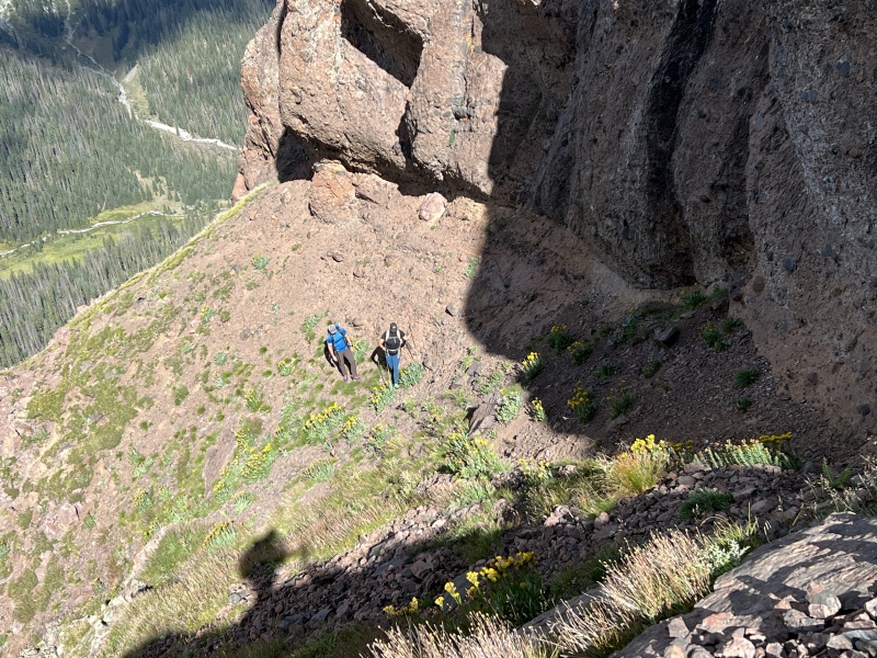
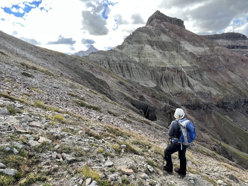
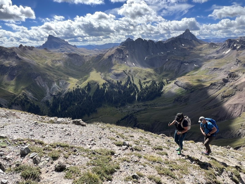
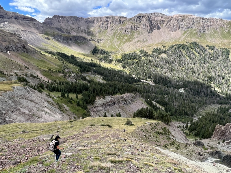
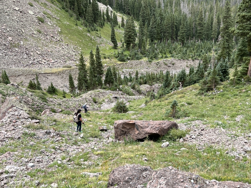
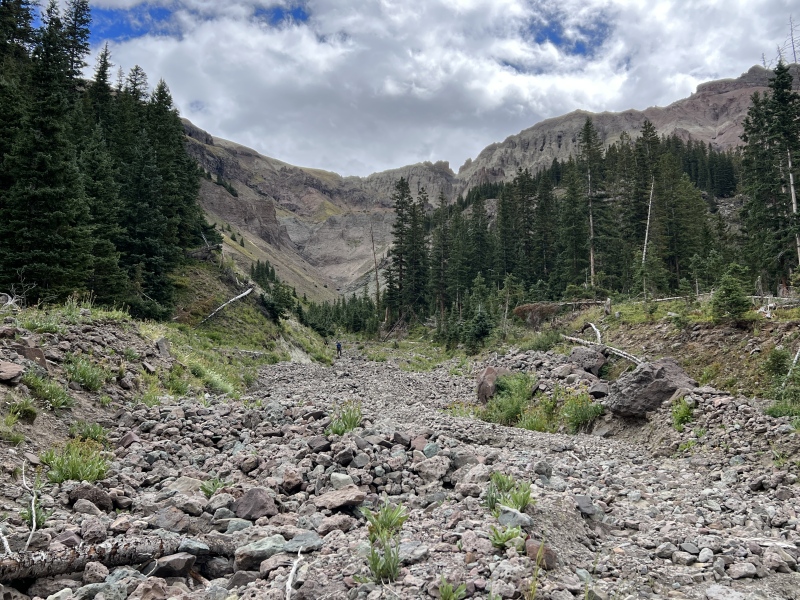
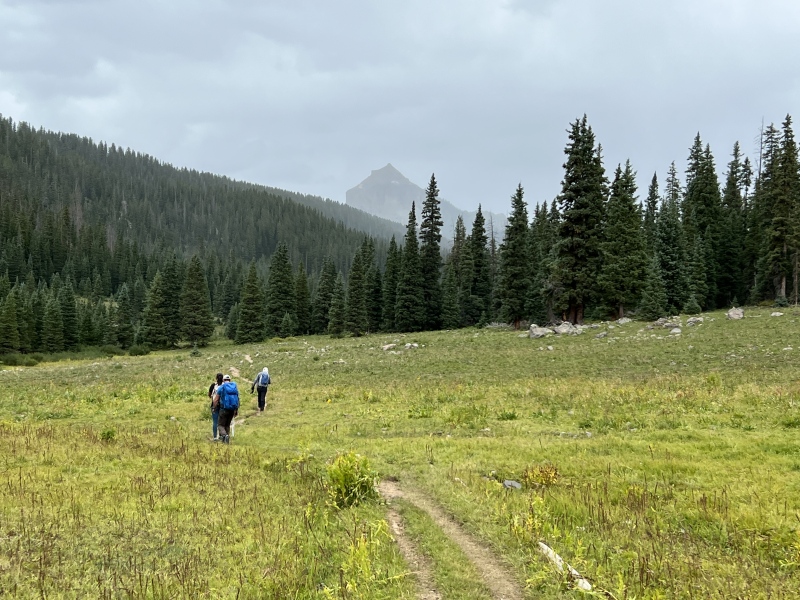
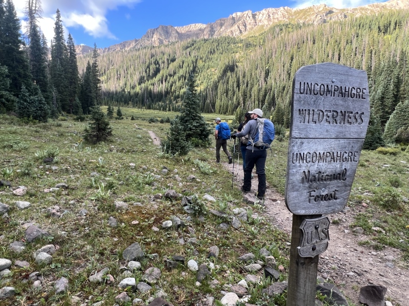
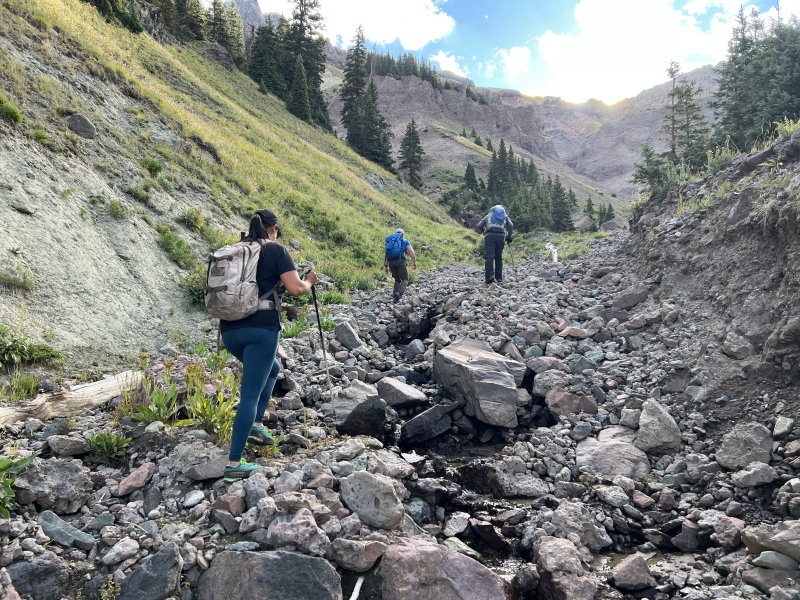
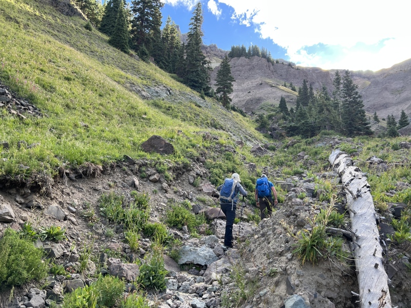
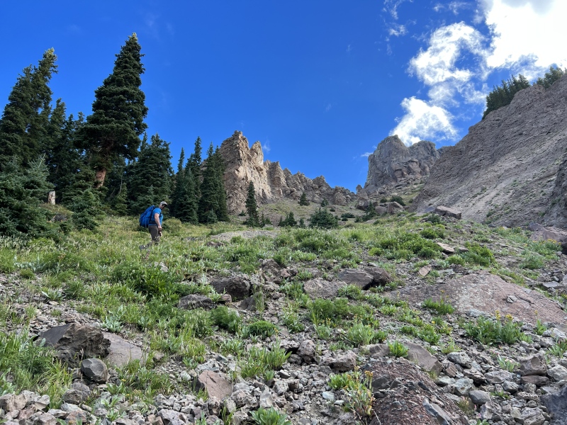
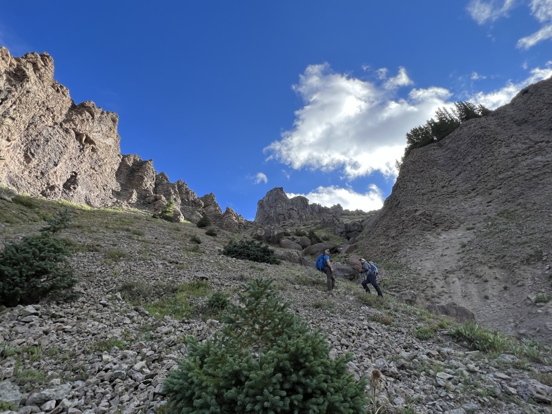
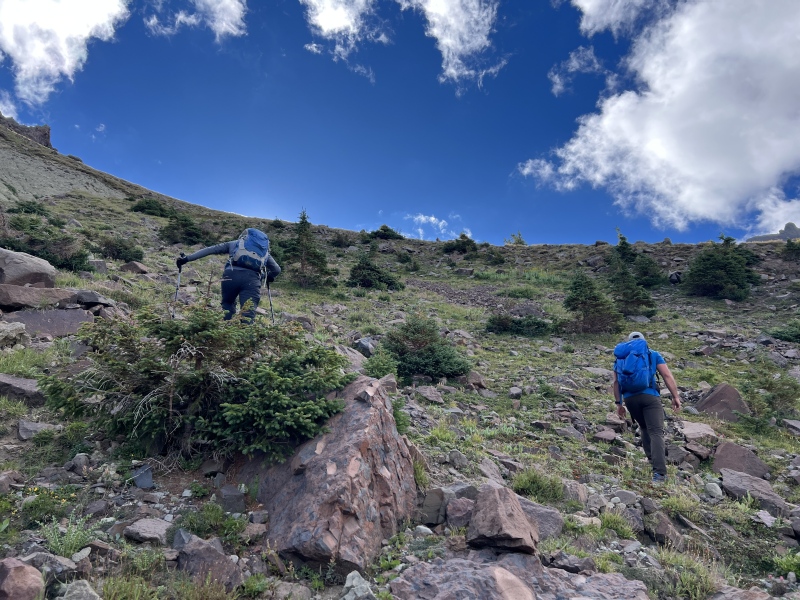
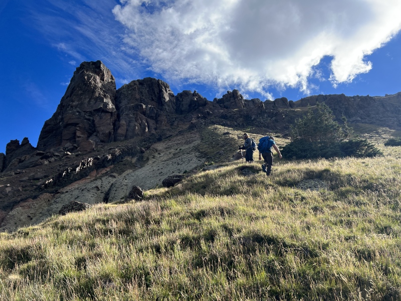
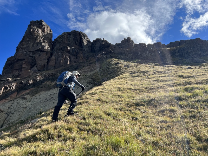
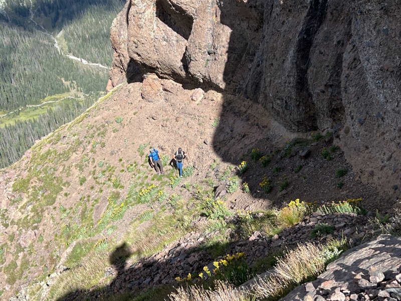
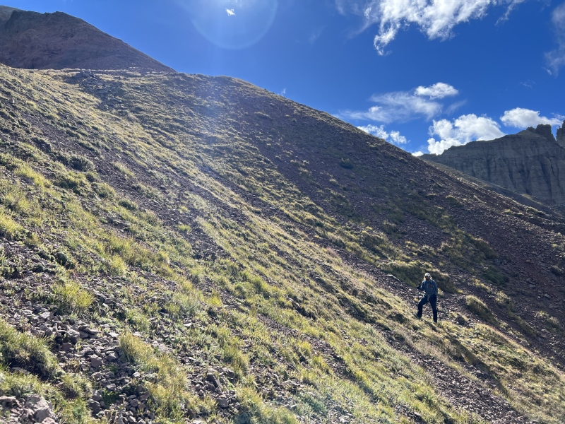
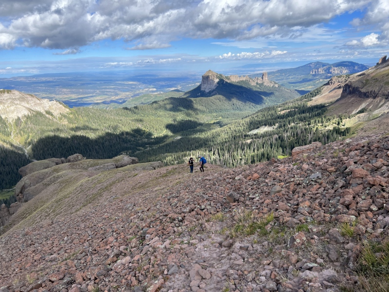
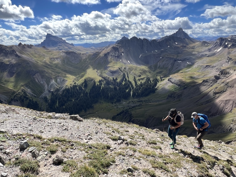
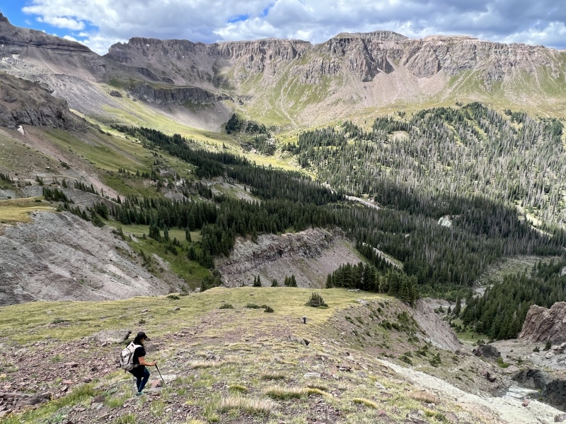
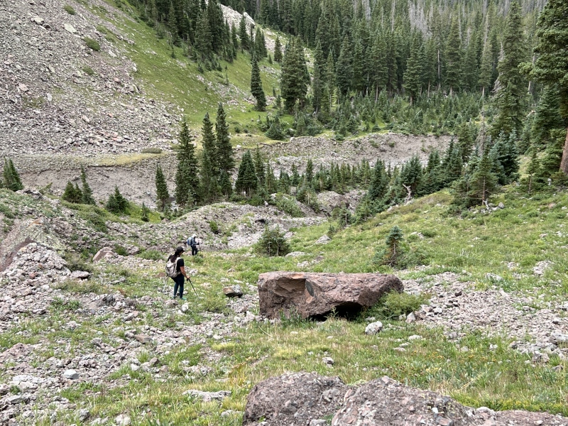
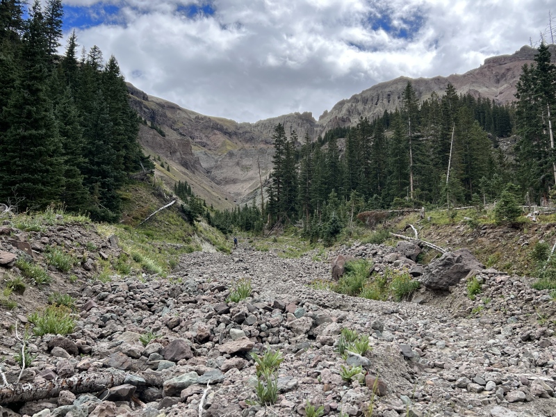
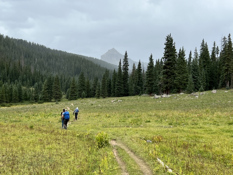
We got up at a fairly normal time, or maybe it was late. We didn’t start hiking until about 8 a.m. The weather looked good, with typical afternoon rain forecasted. Staci stayed at camp, and played camp host all weekend. We hiked up the Wetterhorn Pass trial and began bushing whacking just after a mile, near 11,100. We stepped over downed trees and made our way to the gully, which had been blown out by spring runoff. The route was simple. Go up the gully. If this was really wet it would probably be a bad route. Our goal was a small stand of trees. Head toward the left side of the trees. You’ll actually be below them as you pass in the upper portion of the gully. Up a grassy and rocky slope and move right. Then onto into another grassy ridge slope. 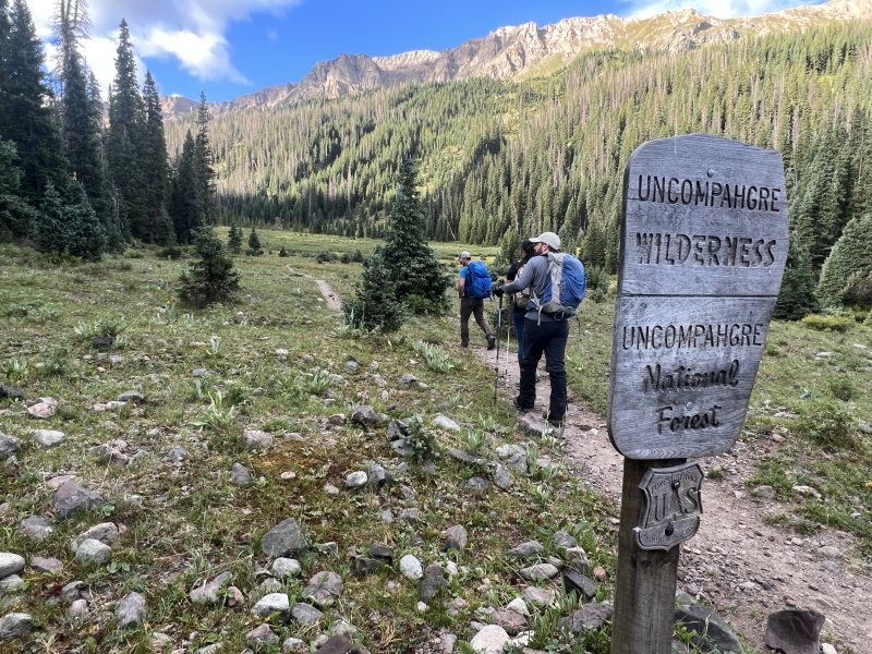
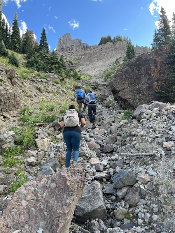
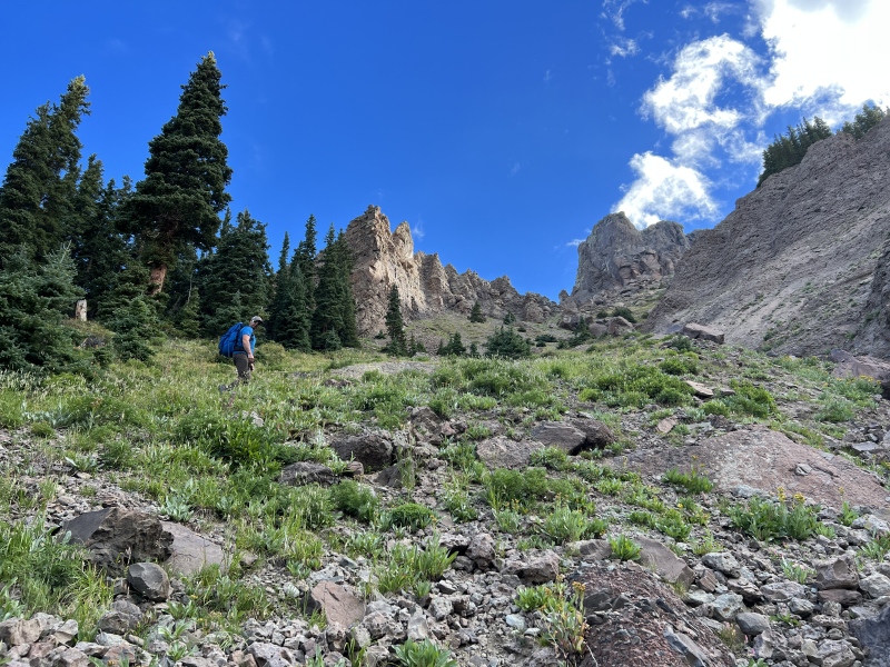
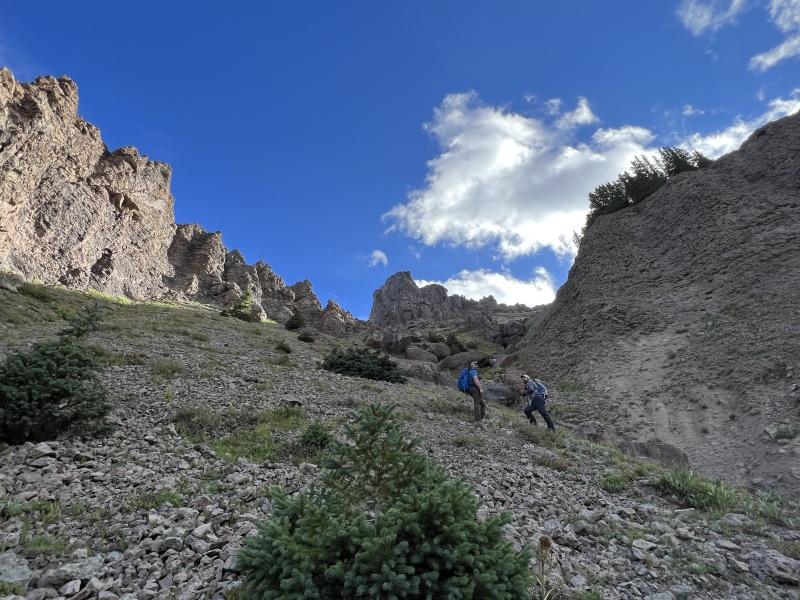
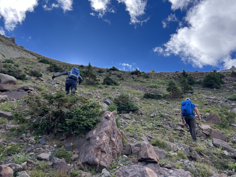
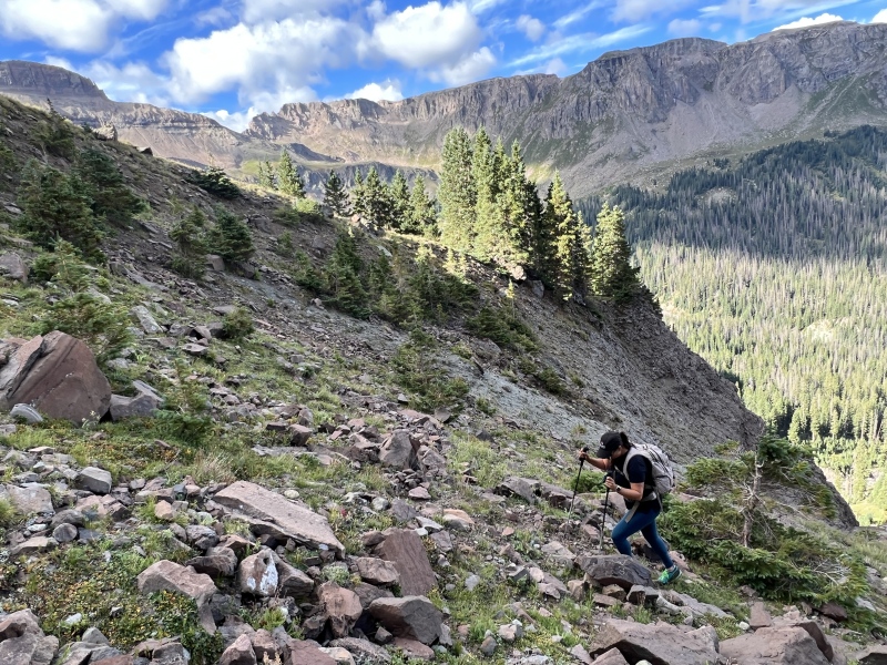
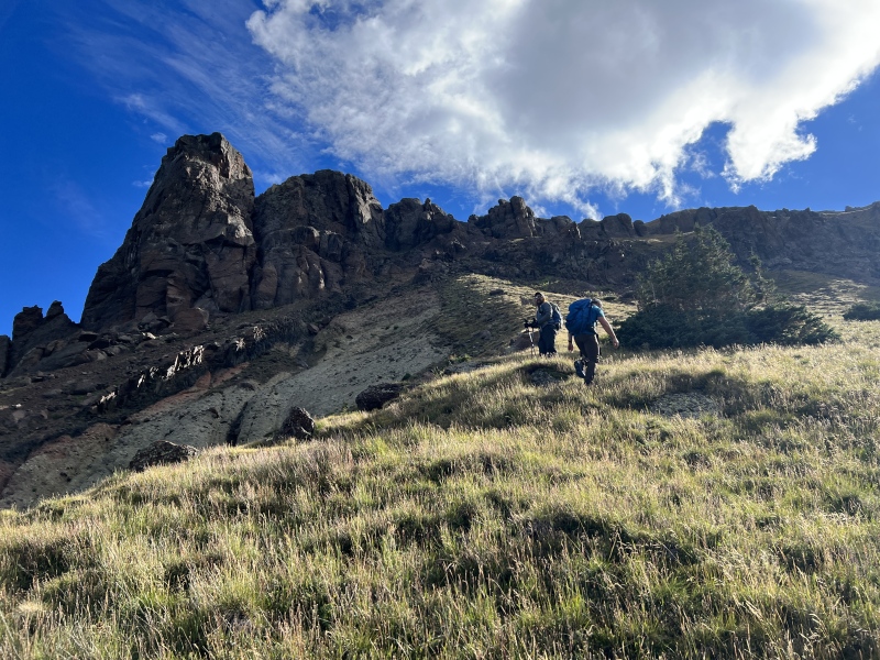
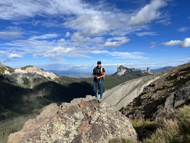
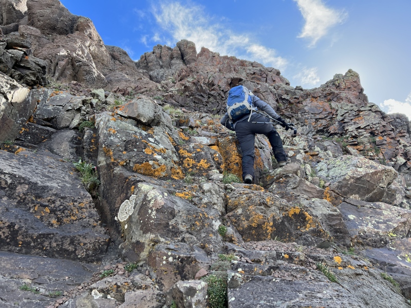
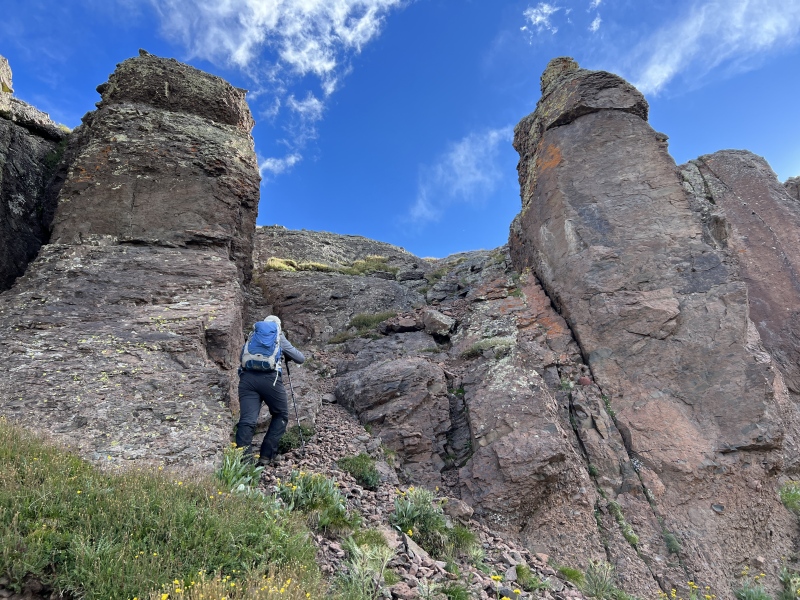
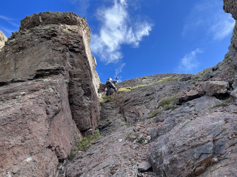
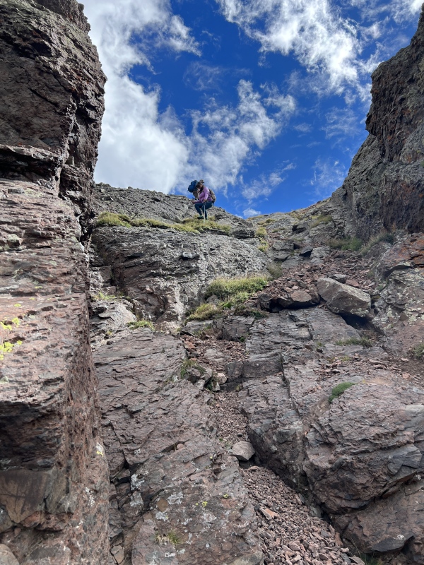
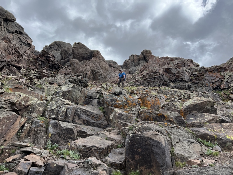
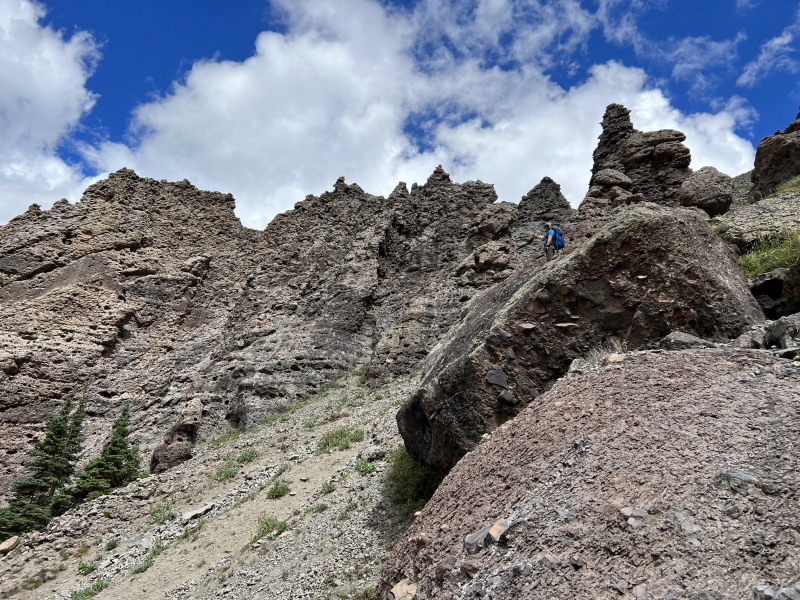
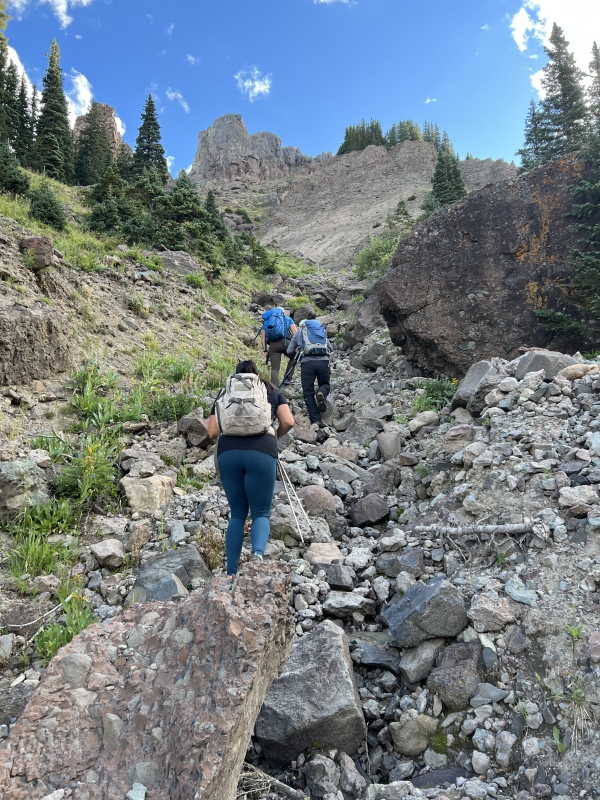
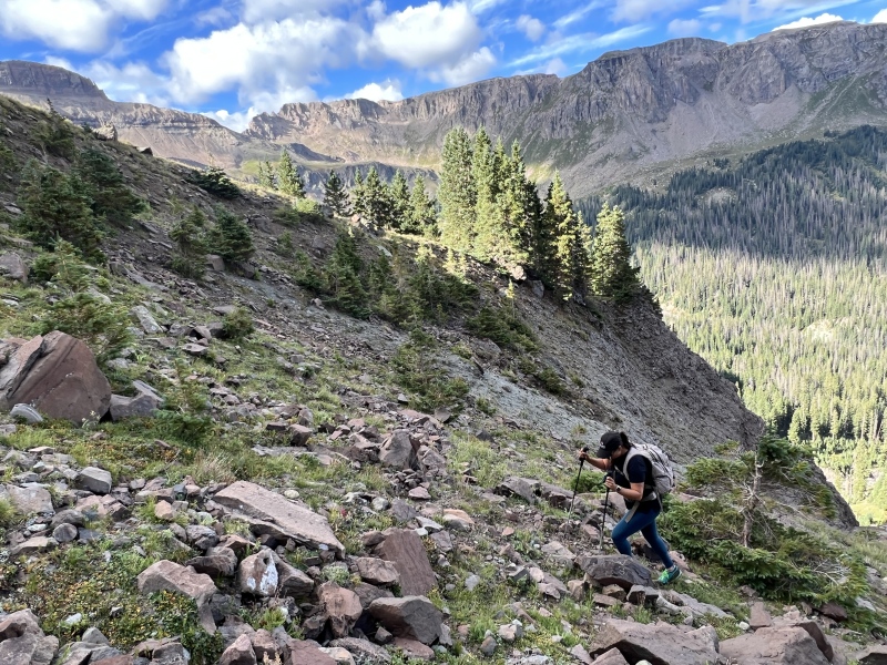
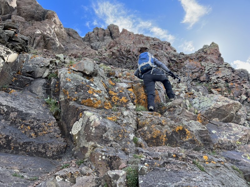
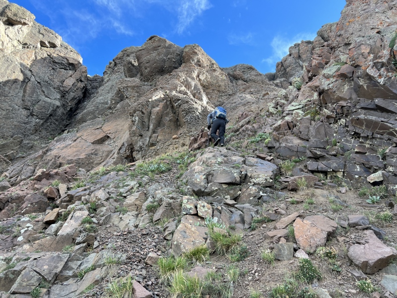
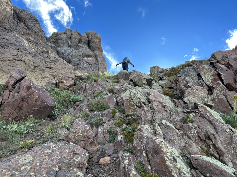
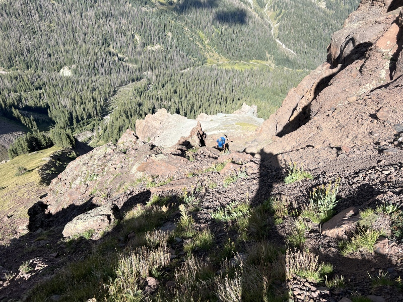
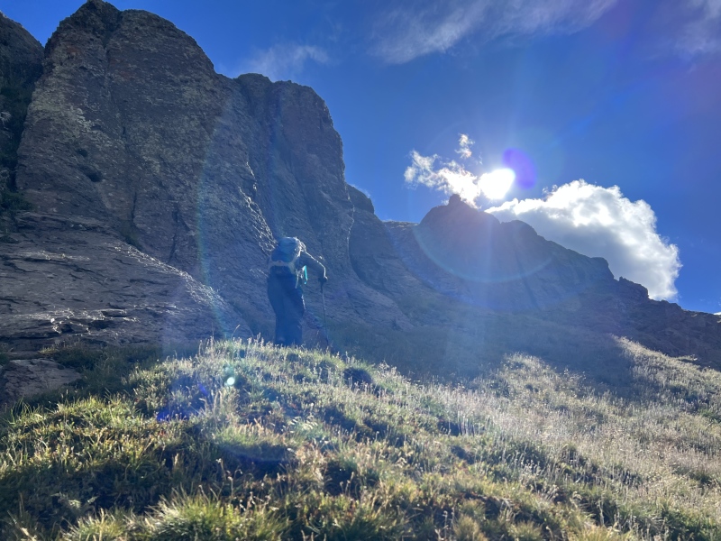
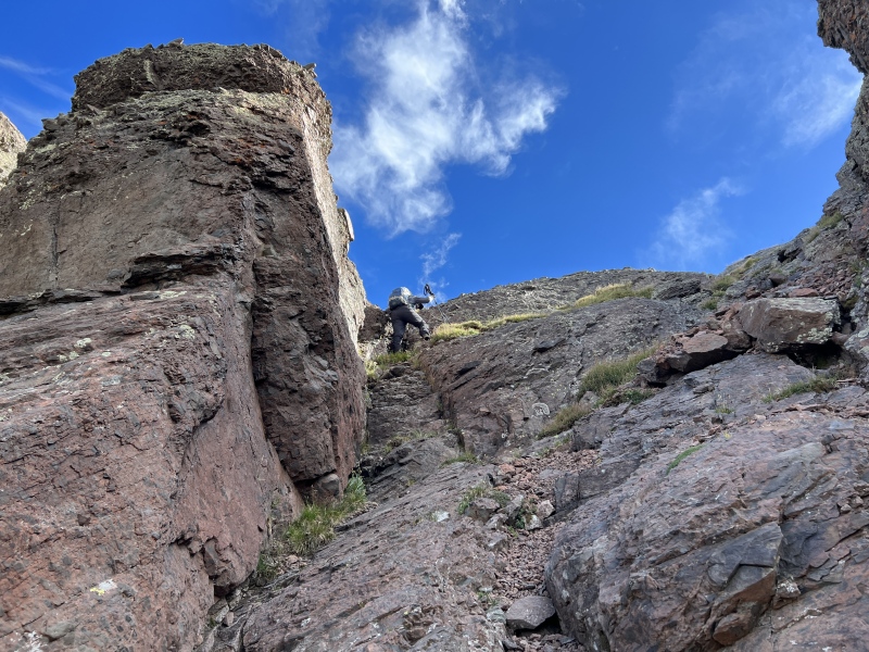
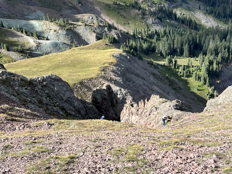
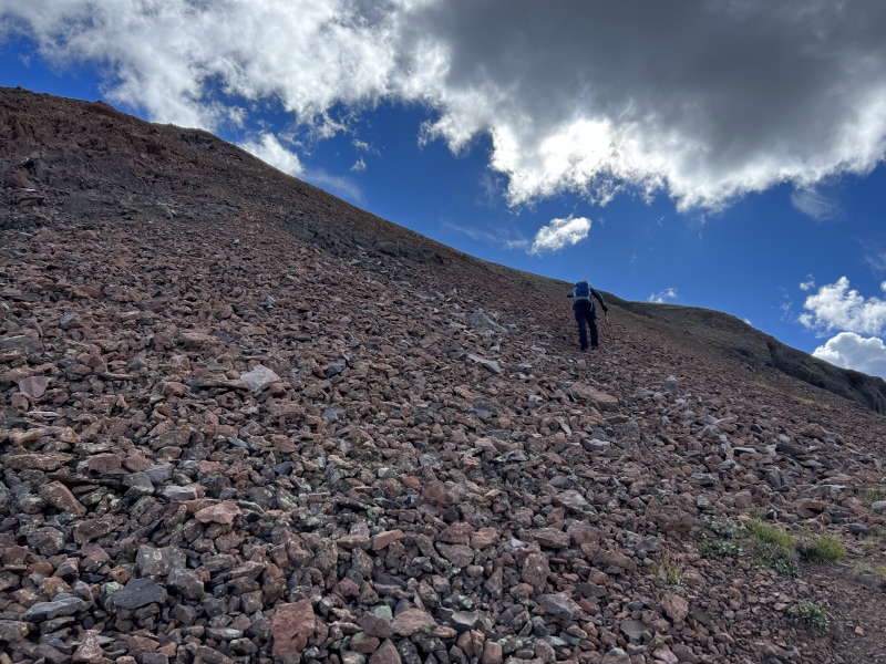
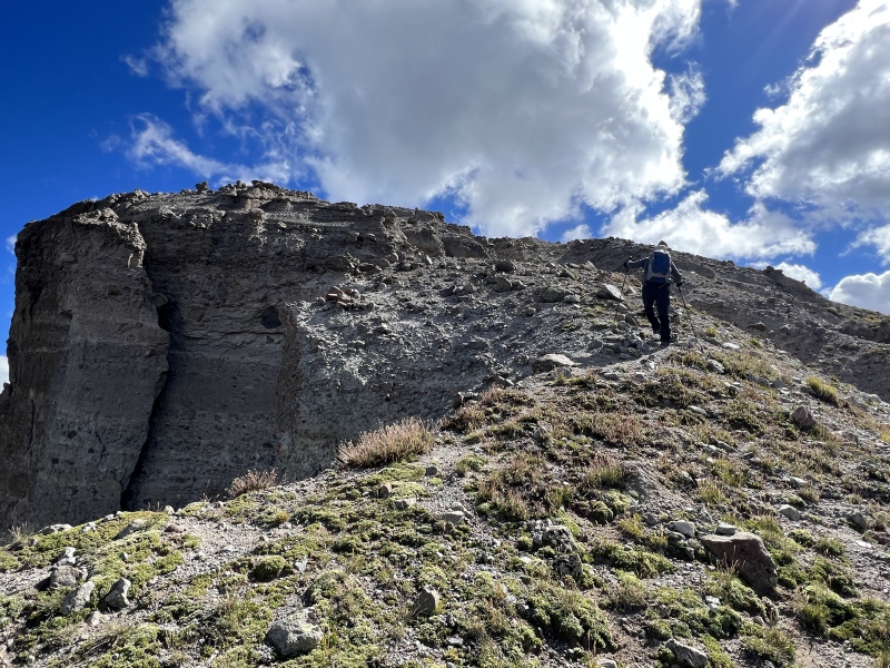
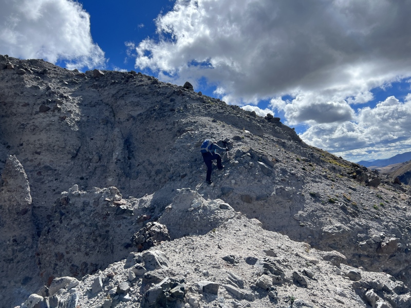
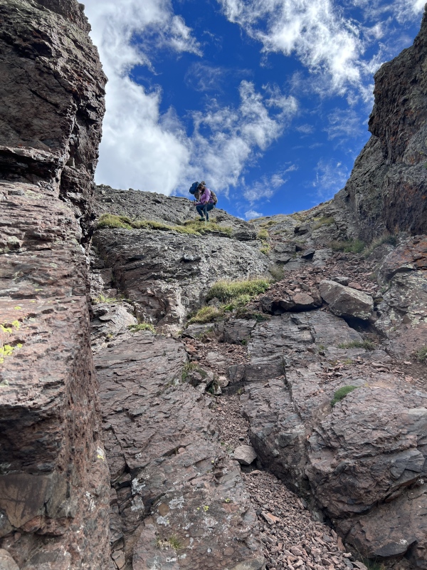
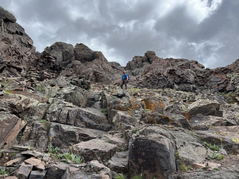
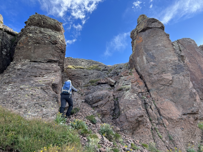
At the top of the slope is a Class 2+ or easy Class 3 scramble to the bottom of a cliff band. Move right again, to an opening in the wall. This opening is very much Class 3. The rock was pretty solid on the left side, loose on the right. Maybe 15-20 feet of scrambling. The left side does get a little loose at the top, but nothing to worry about. Ryan and I went up first. And then walked up to the ridge and waited on Anastasia and Ezra. Do you need helmets for these two scrambles? Probably. Is it worth carrying the helmets for this short section? Probably. Did we? No. Be smart and take turns, letting everyone get out of the way. Once out of the scramble, it’s a loose and rocky slope toward the base of the summit. We did see a cairn here, and the resemblance of parts of a trail. 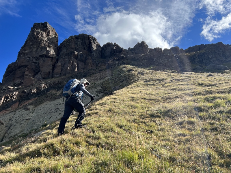
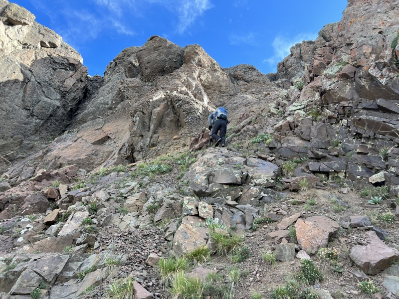
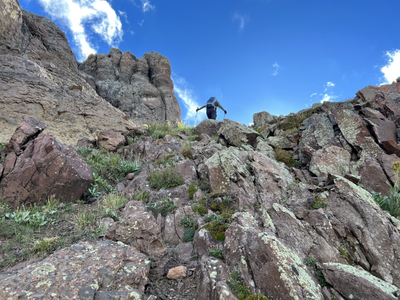
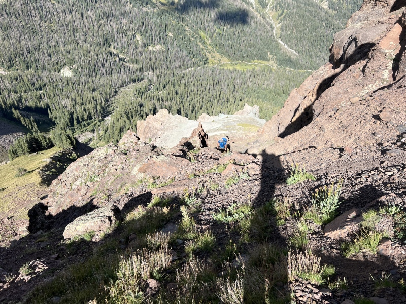
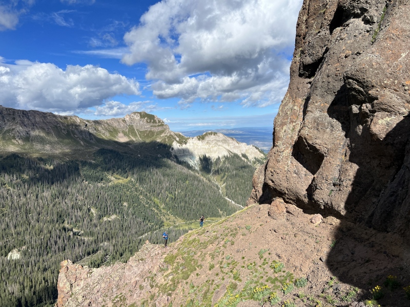
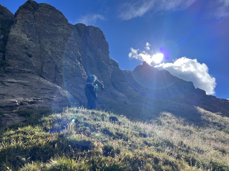
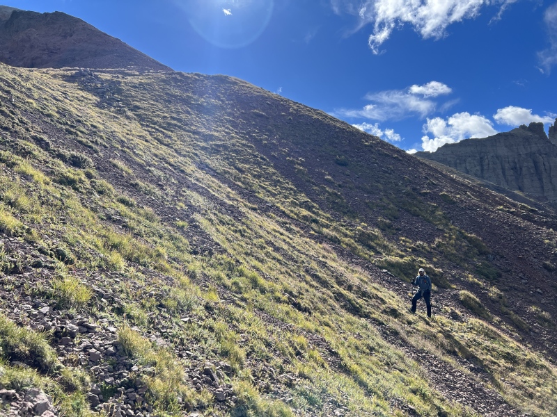
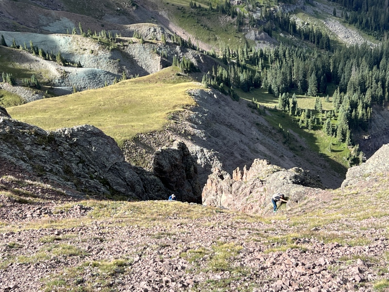
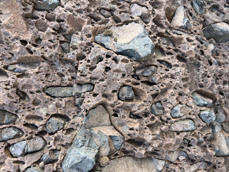
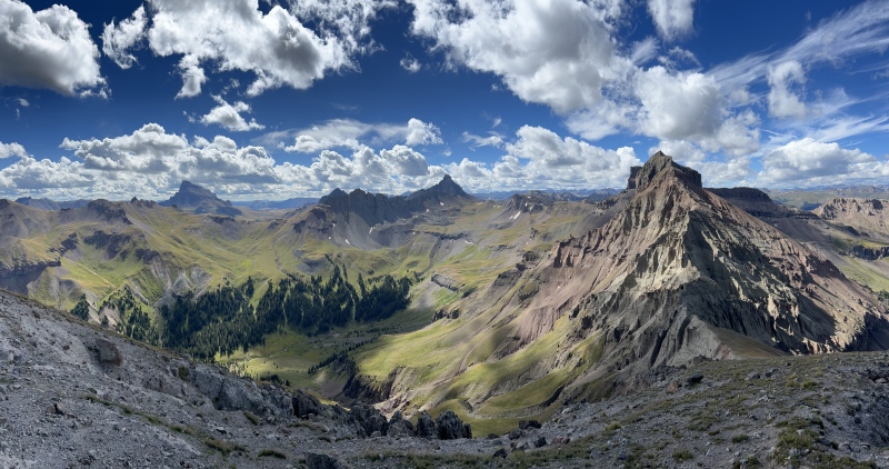
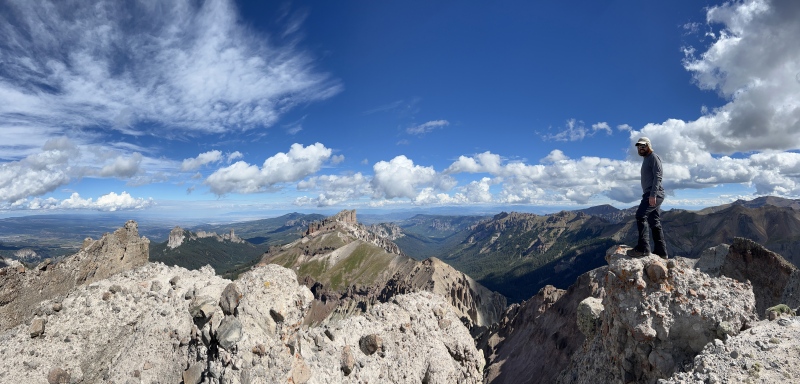
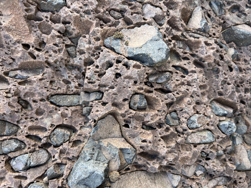
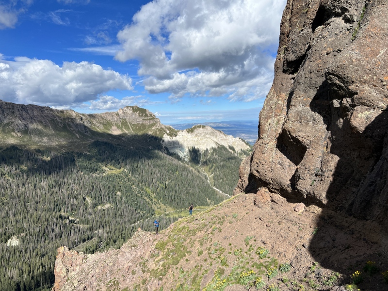
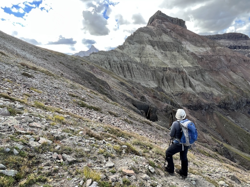
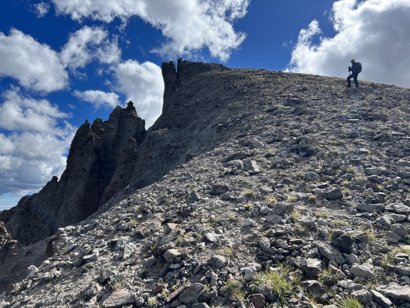
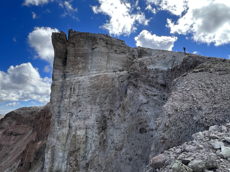
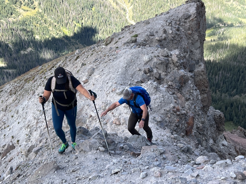
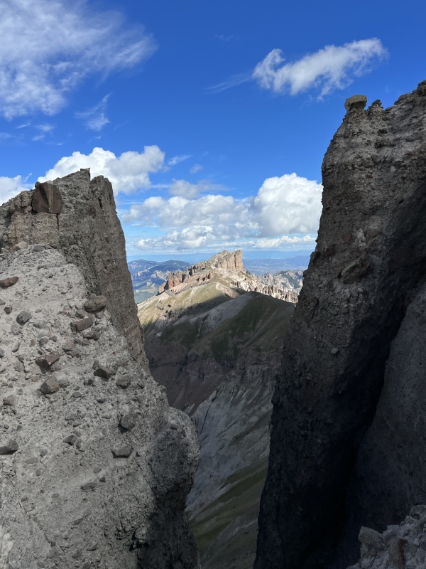
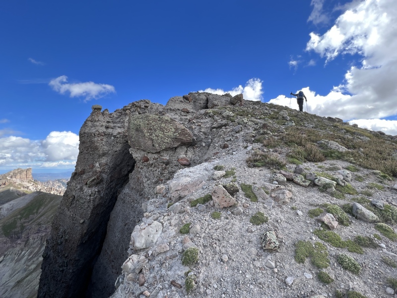
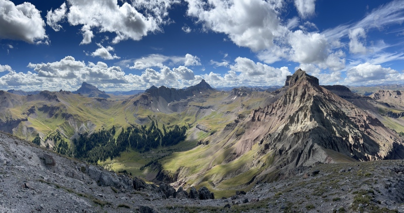
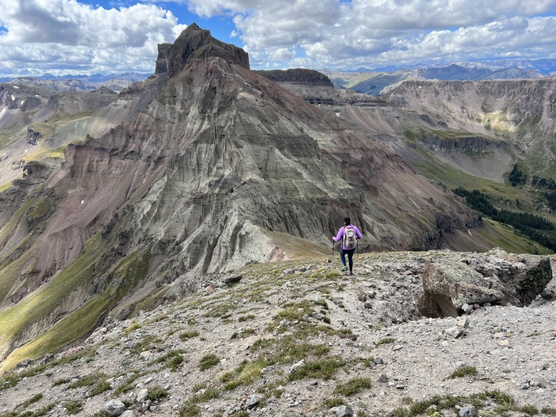
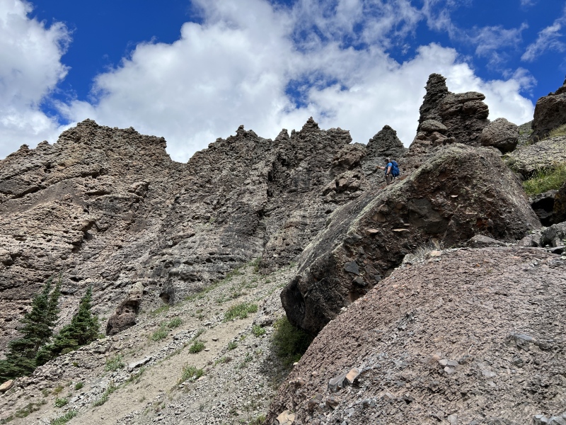
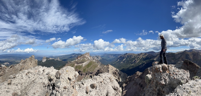
Near the summit, the slope turns into a gray volcanic rock. Here I began to wonder when this mountain will erode away. We made our way up and began to see the years of erosion pulling this mountain down. What I originally thought was the summit, the point you can see from the trailhead, is just a high spot. But a high spot you would actually have to climb to reach. I truly believe we'll see, in our time, this peak erode in the photos of hikers the will come after us. Ryan crossed a very narrow edge. Not a knife edge, but you don’t want to fall to either side. From there it was a short walk to the summit. Again, wow. What is keeping this rock in place? I’ve never seen a mountain that looked like it was actually eroding in front of my eyes. Totally cool. 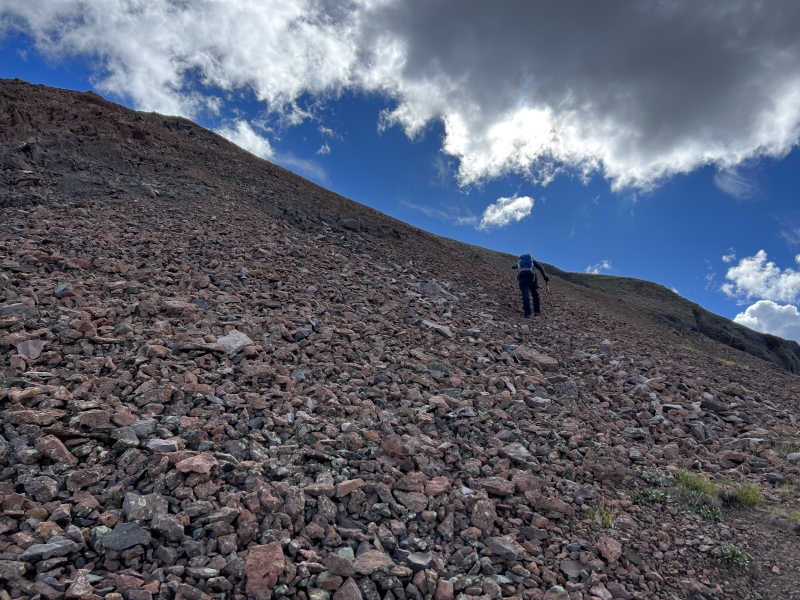
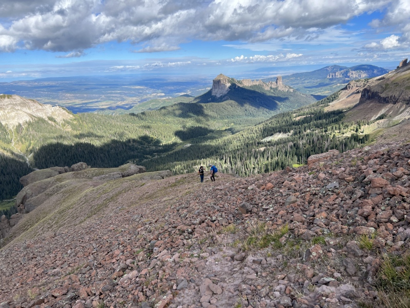
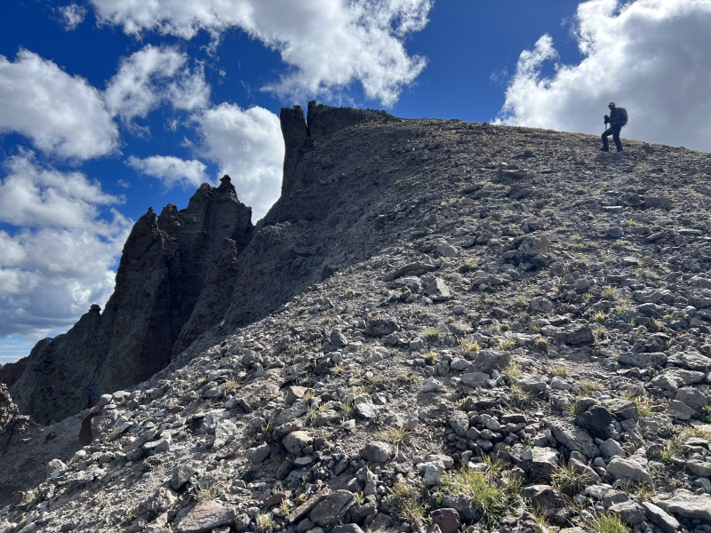
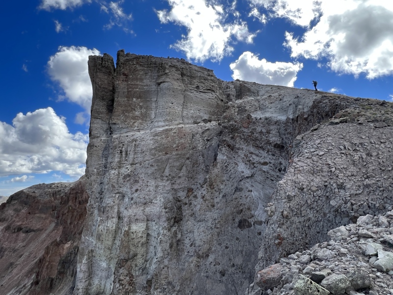
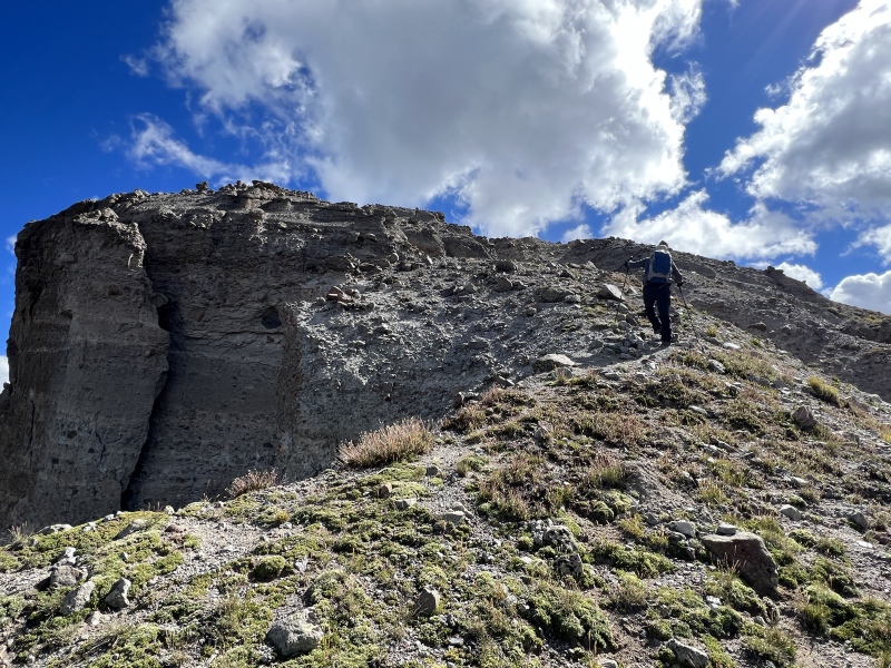
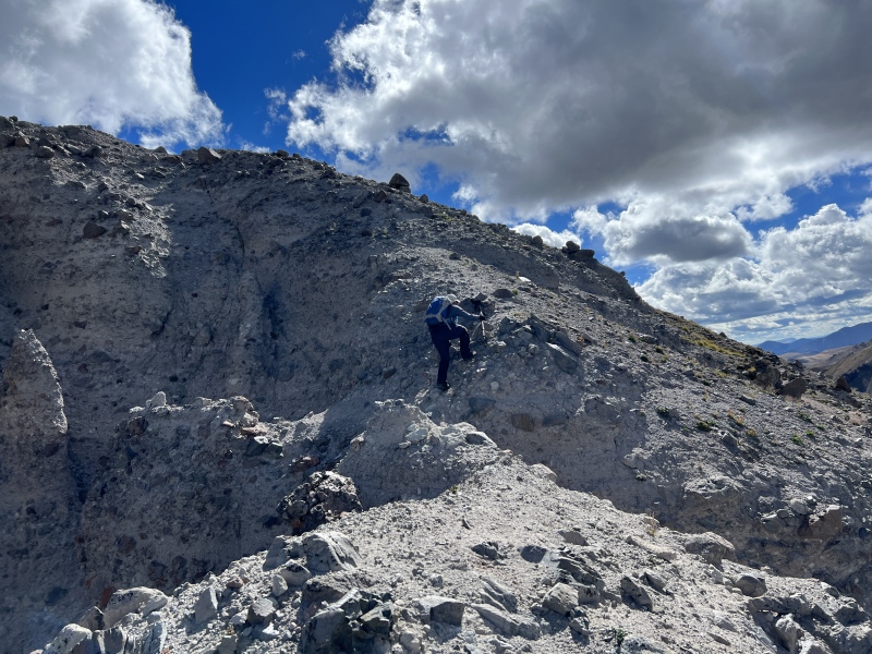
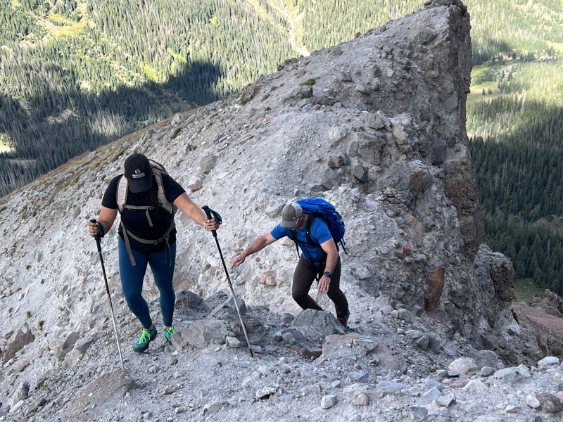
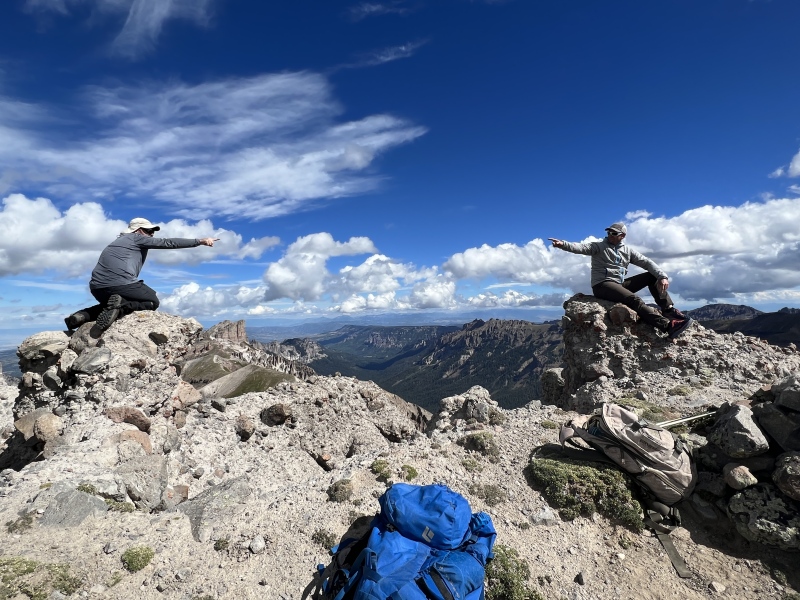
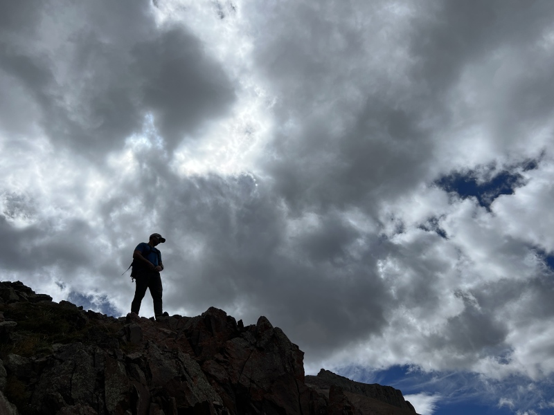
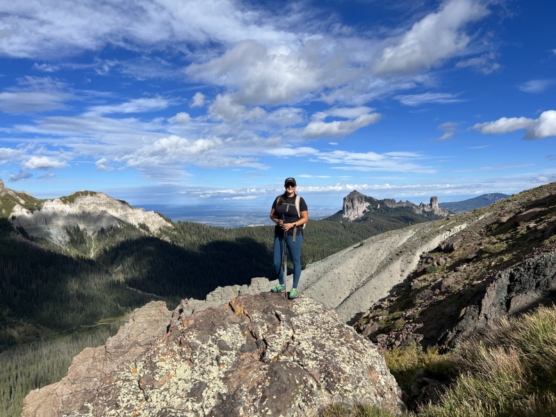
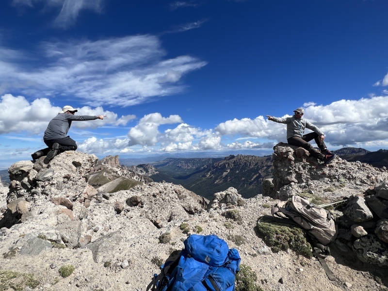
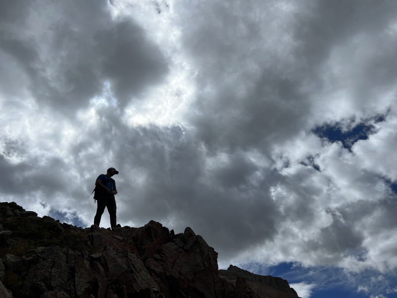
There were three high spots in the summit area, the previous mentioned spot, and two that could actually be the summit. We took turns on what we thought was the highest spot. But man, it was almost as nerve racking as the summit of Sunlight. I wondered if “geologic time” would be now. It would not have surprised me if it was and the chunk of the summit fell of the mountain as we stood on it. The views of Uncompahgre, Wetterhorn, Redcliff, Coxcomb and the rest of the San Juans were spectacular. That only is worth the effort to hike this peak. We spent a little time on the summit taking photos and taking in the views. 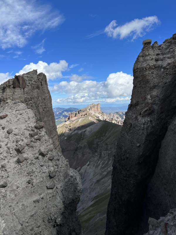
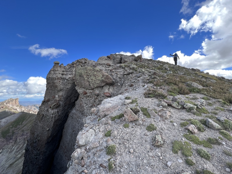
Going down the peak was uneventful. If you like “summer” use of microspikes, these peaks are some good choices to bring them along. We got back to the Pass trail just as it began to sprinkle. It never truly rained on us as the clouds came and went. I took a little nap in a camp chair. We had cocktails and Staci cooked us steak tacos with all the fixings. We stayed up with a campfire and looked at the stars. I went to bed before everyone else. The next morning, we went for Precipice. 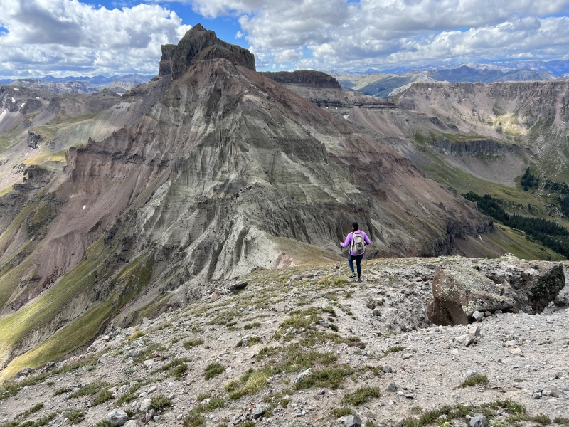
Stats 4:30 hr/min total 2:30 to reach the summit 2,400 feet GPS Track(s) on Google Maps (made from a .GPX file upload):
View Map
Thumbnails for uploaded photos (click to open slideshow): 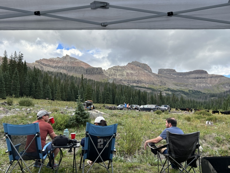
|
| Comments or Questions |
|---|
|
|
Caution: The information contained in this report may not be accurate and should not be the only resource used in preparation for your climb. Failure to have the necessary experience, physical conditioning, supplies or equipment can result in injury or death. 14ers.com and the author(s) of this report provide no warranties, either express or implied, that the information provided is accurate or reliable. By using the information provided, you agree to indemnify and hold harmless 14ers.com and the report author(s) with respect to any claims and demands against them, including any attorney fees and expenses. Please read the 14ers.com Safety and Disclaimer pages for more information.
Copyright: Route information, text, risk factors, maps, GPX files, charts, photos, 14ers.com-created map imagery, flythroughs, and other content provided in this route description are copyrighted by 14ers.com and may not be copied, reproduced, republished, distributed, modified, or used to create derivative works without prior written permission.
Please respect private property: 14ers.com supports the rights of private landowners to determine how and by whom their land will be used. In Colorado, it is your responsibility to determine if land is private and to obtain the appropriate permission before entering the property.


