Download Agreement, Release, and Acknowledgement of Risk:
You (the person requesting this file download) fully understand mountain climbing ("Activity") involves risks and dangers of serious bodily injury, including permanent disability, paralysis, and death ("Risks") and you fully accept and assume all such risks and all responsibility for losses, costs, and damages you incur as a result of your participation in this Activity.
You acknowledge that information in the file you have chosen to download may not be accurate and may contain errors. You agree to assume all risks when using this information and agree to release and discharge 14ers.com, 14ers Inc. and the author(s) of such information (collectively, the "Released Parties").
You hereby discharge the Released Parties from all damages, actions, claims and liabilities of any nature, specifically including, but not limited to, damages, actions, claims and liabilities arising from or related to the negligence of the Released Parties. You further agree to indemnify, hold harmless and defend 14ers.com, 14ers Inc. and each of the other Released Parties from and against any loss, damage, liability and expense, including costs and attorney fees, incurred by 14ers.com, 14ers Inc. or any of the other Released Parties as a result of you using information provided on the 14ers.com or 14ers Inc. websites.
You have read this agreement, fully understand its terms and intend it to be a complete and unconditional release of all liability to the greatest extent allowed by law and agree that if any portion of this agreement is held to be invalid the balance, notwithstanding, shall continue in full force and effect.
By clicking "OK" you agree to these terms. If you DO NOT agree, click "Cancel"...
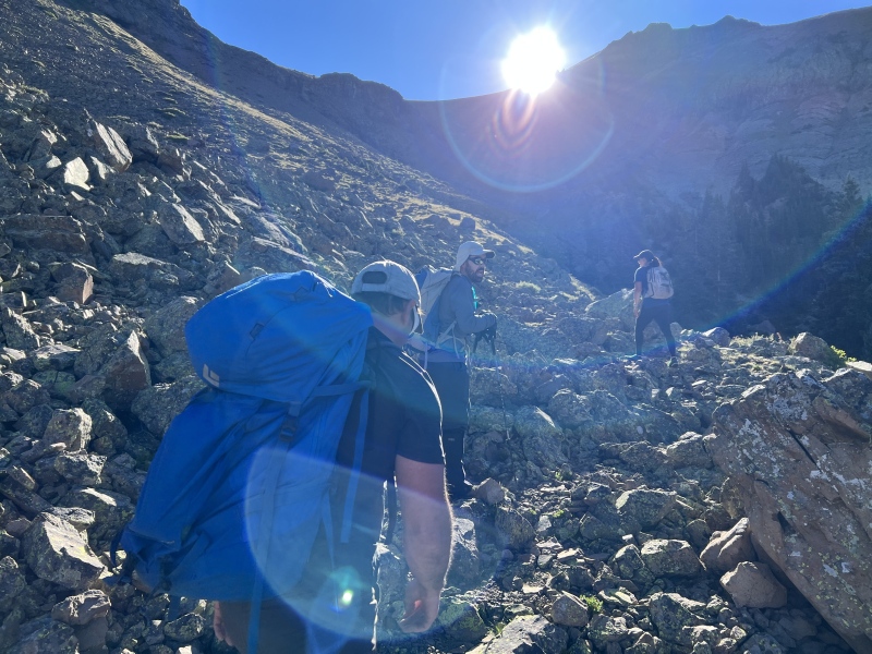
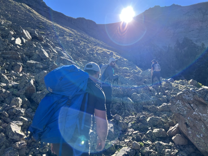
We were all moving slow on this morning, but somehow we still managed to start hiking around 8 a.m. again. I know, I know… we were lazy. But the weather was supposed to be clear all day. The only thing we had going on later was driving home.
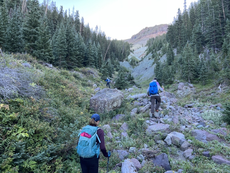
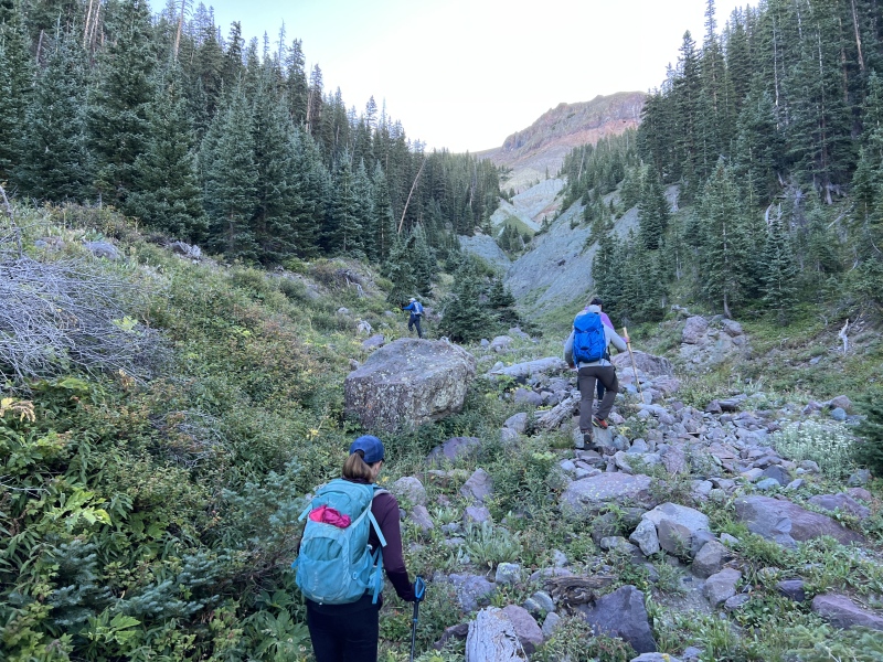
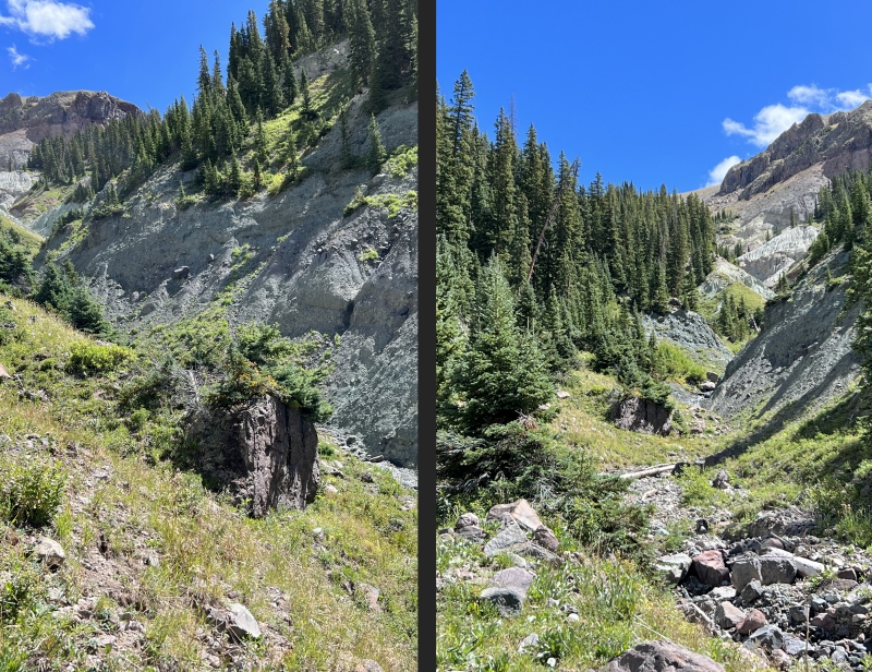
We simply walked across the road and starting moving into the gully. Yep, another gully. There is a trail of sorts along the gully. But don’t go into the trees yet, it’s a pile of pixie sticks of downed trees.
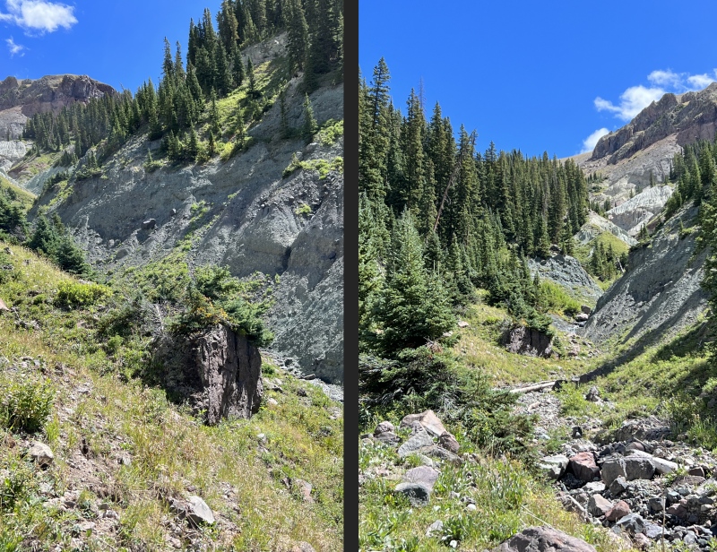
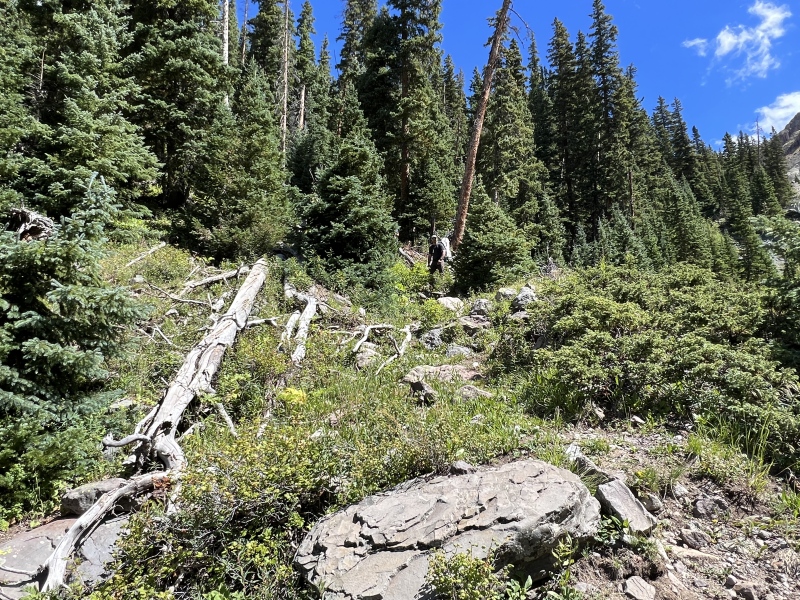
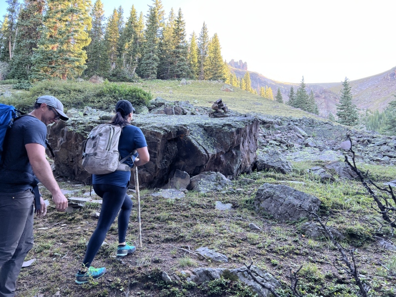
And once again, near the 11,100 mark, you’ll see a large reddish boulder. You’ll work your past this rock on the left side of the gully, and a fairly short distance after, you’ll move into the trees.
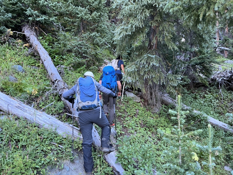
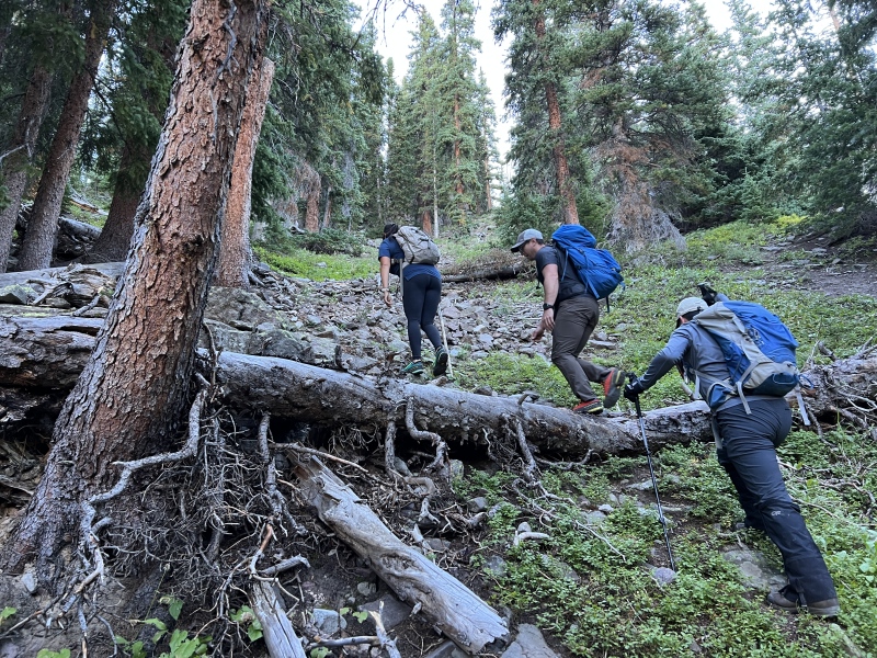
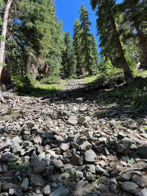
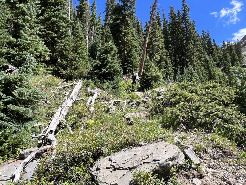
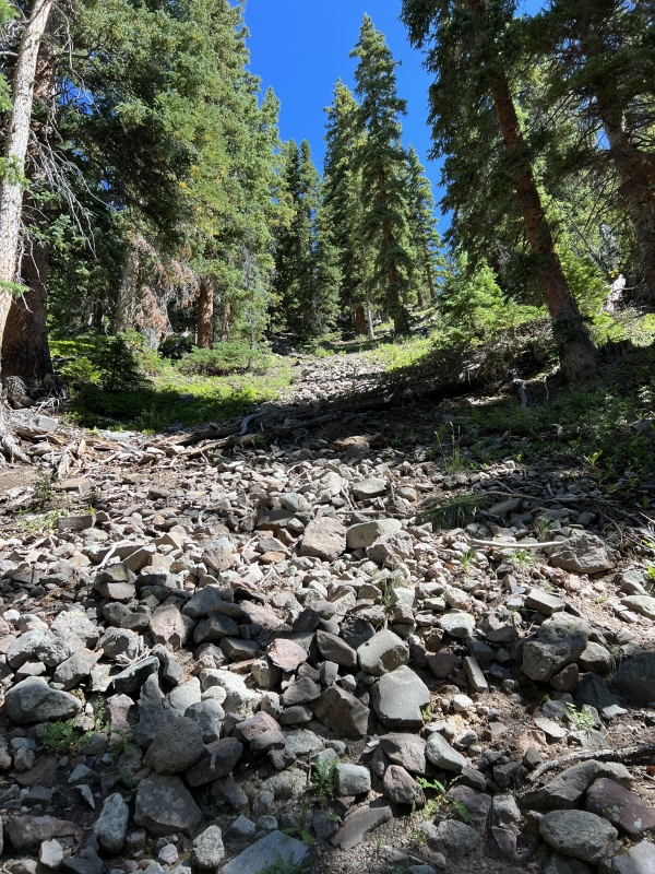
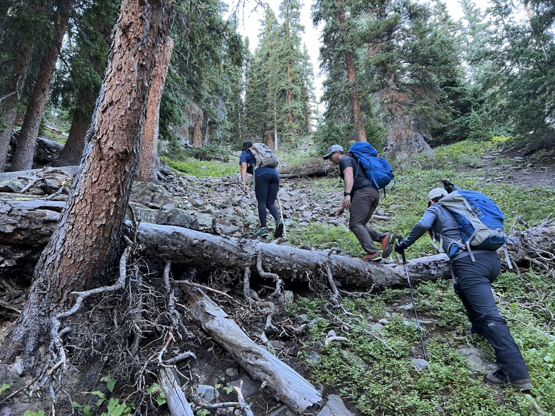
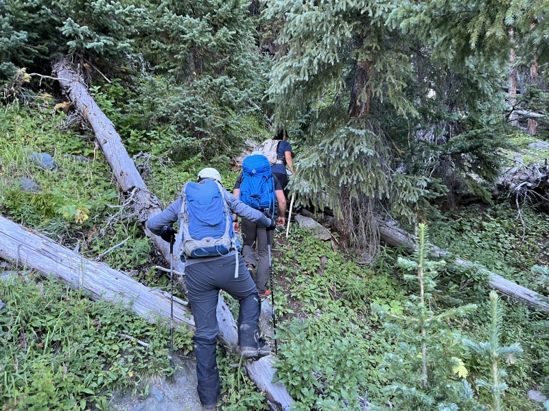
There is a somewhat of a trail. It’s tight. It’s more bushwhack than trail. But you should be able to see it. And now it gets ugly for a bit. The route is steep, very steep on loose dirt and some downed trees. Keep moving up, but stay close to the gully on the right. The farther you move in, the more downed trees you have to deal with. We found a fairly open path.
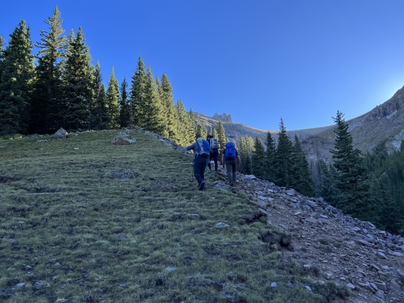
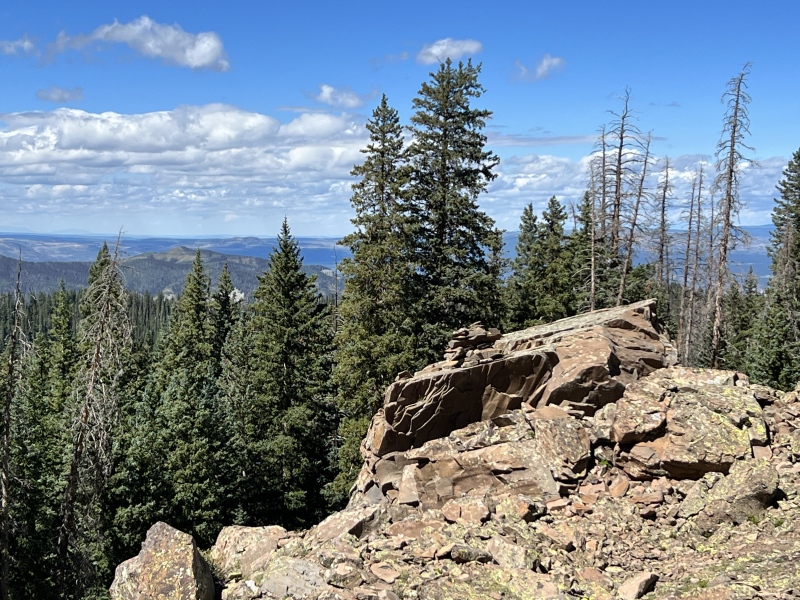
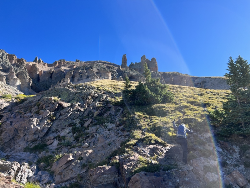
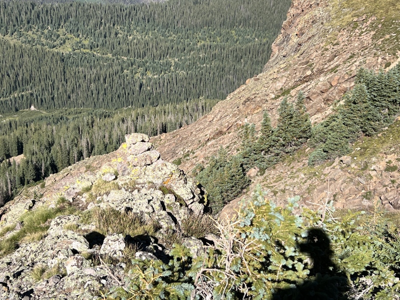
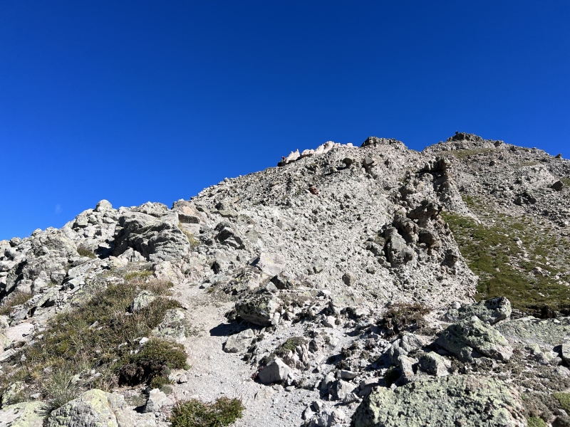
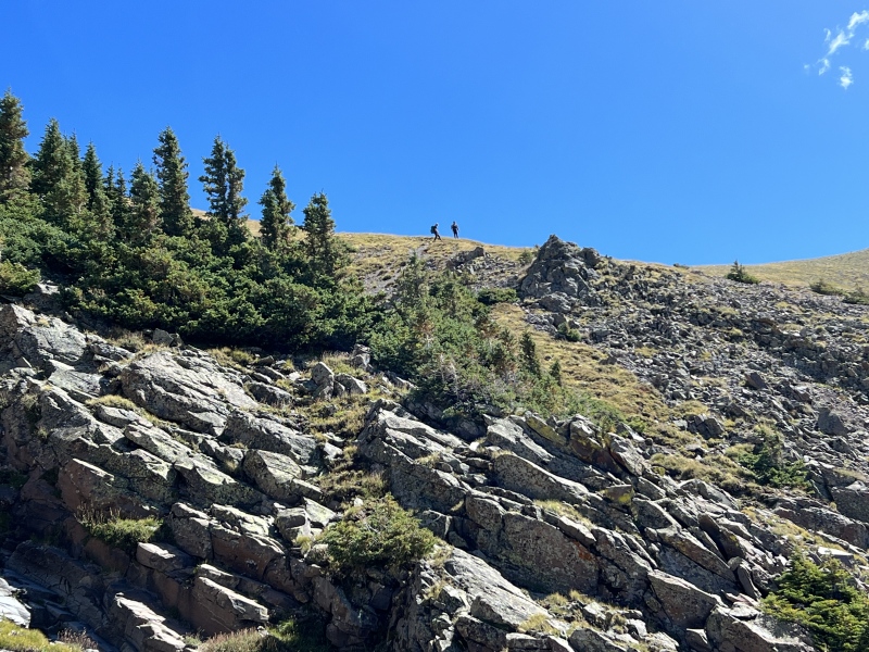
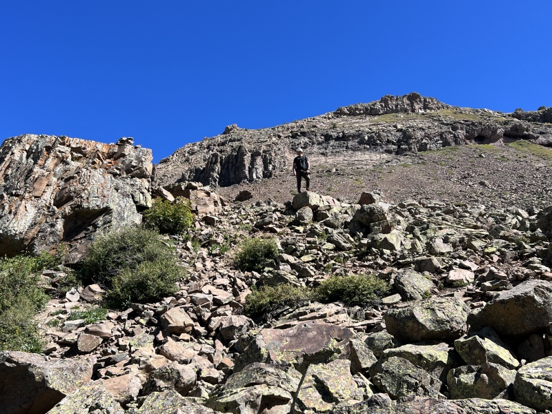
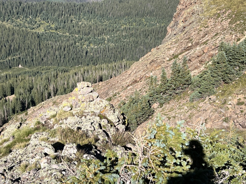
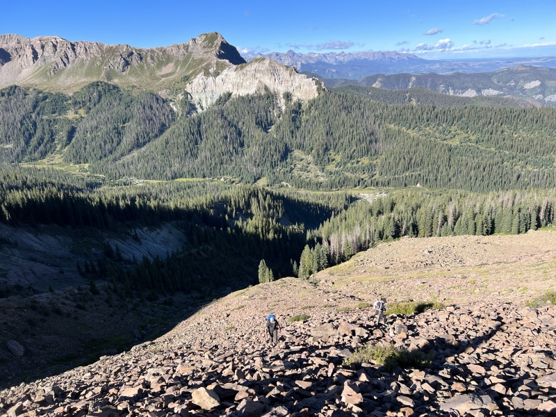
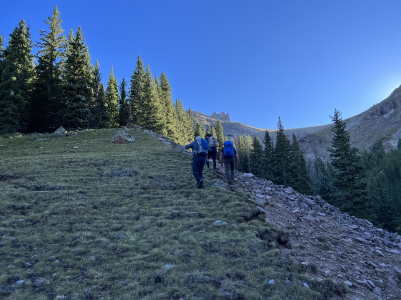
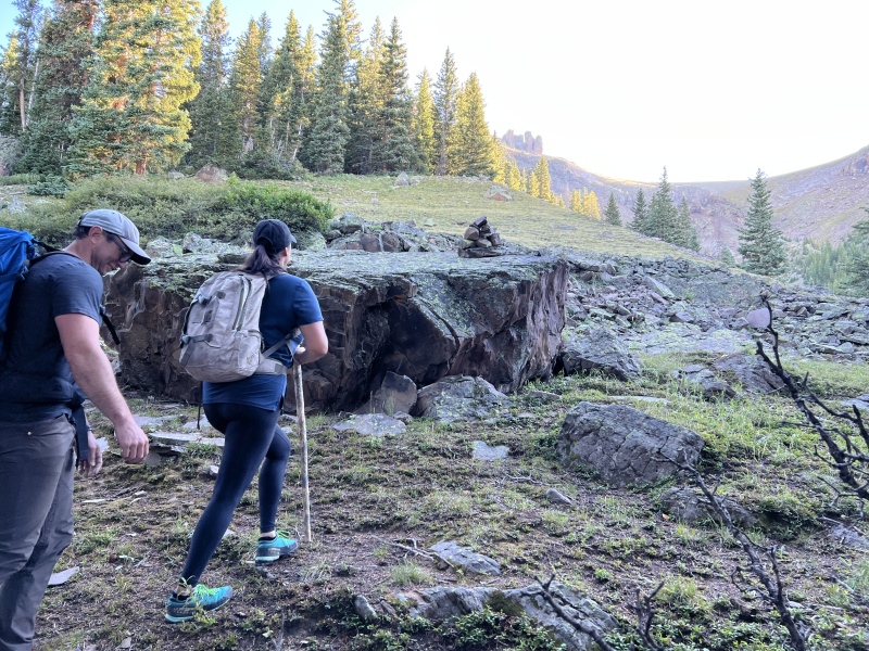
You’ll pop out of trees for bit, there is a small cairn on a boulder. Then back into the trees. Then when you pop out again, you’ll see the route above treeline. There is a boulder field just steps away. You can see a large boulder with a cairn on top, near 11,500.
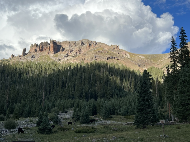
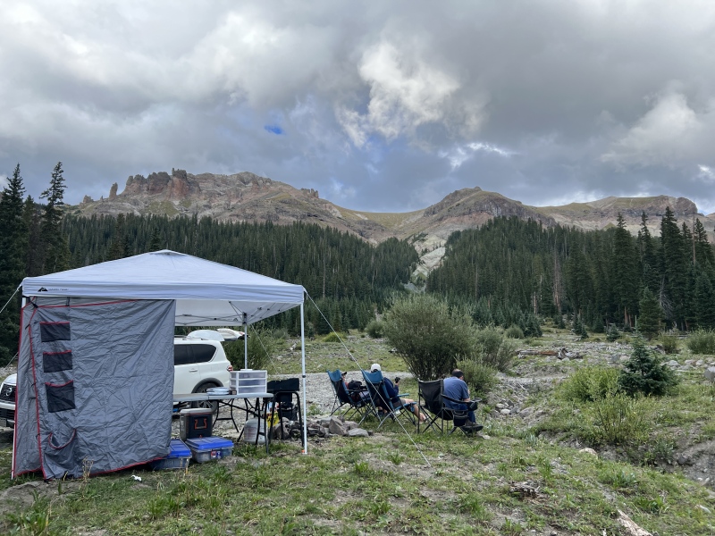
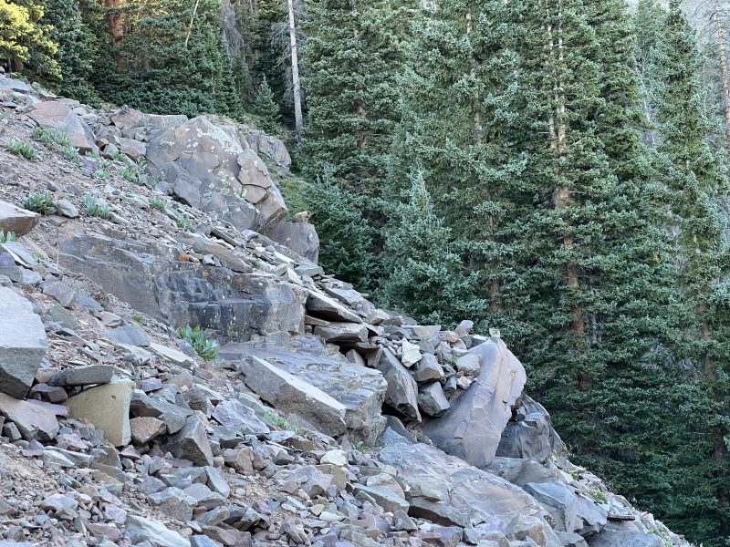
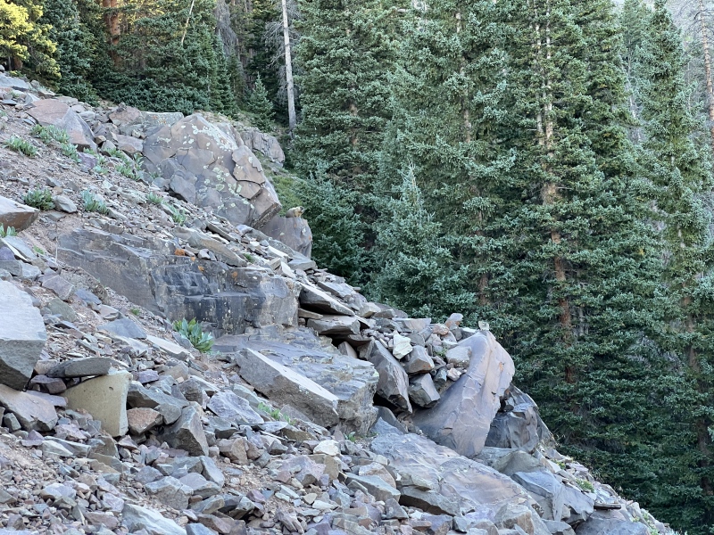
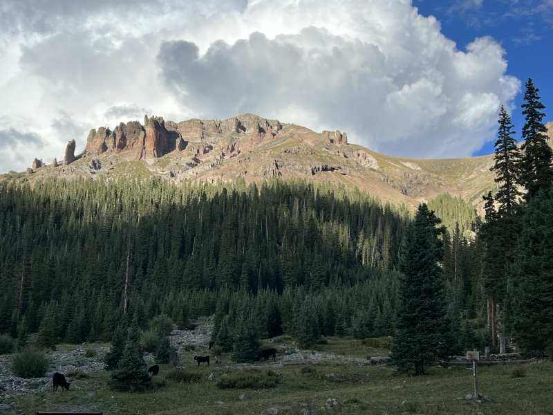
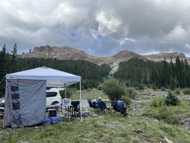
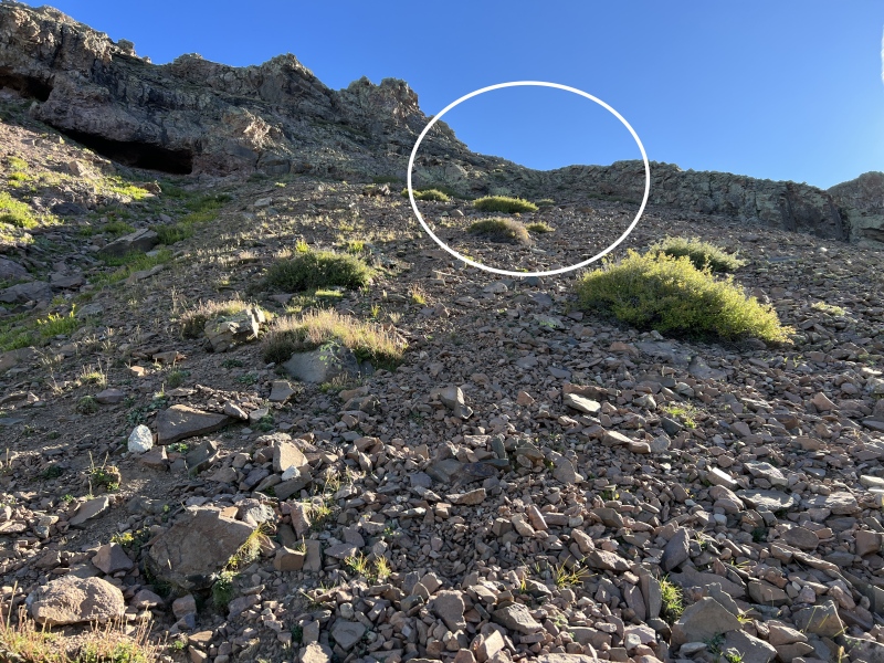
Camp and PrecipiceThe GullyThe big reddish boulder, go past this rock on the leftinto the treesInto the treesbushwhackSteepBreak in the treesBreak in the treesMarmot and Pika
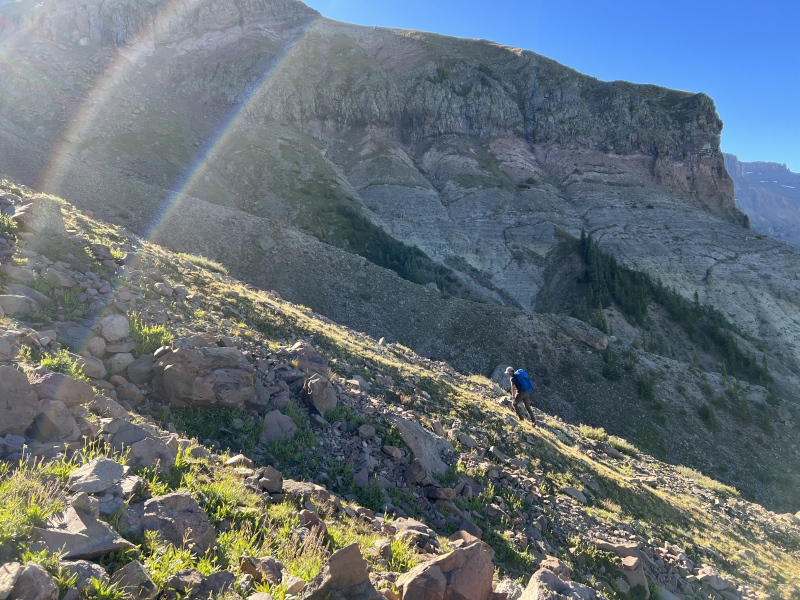
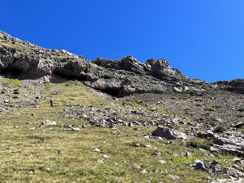
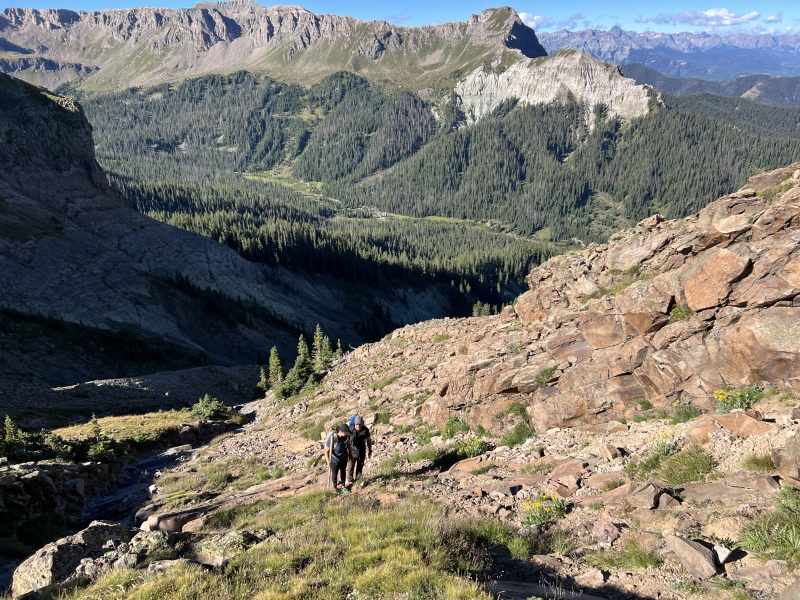
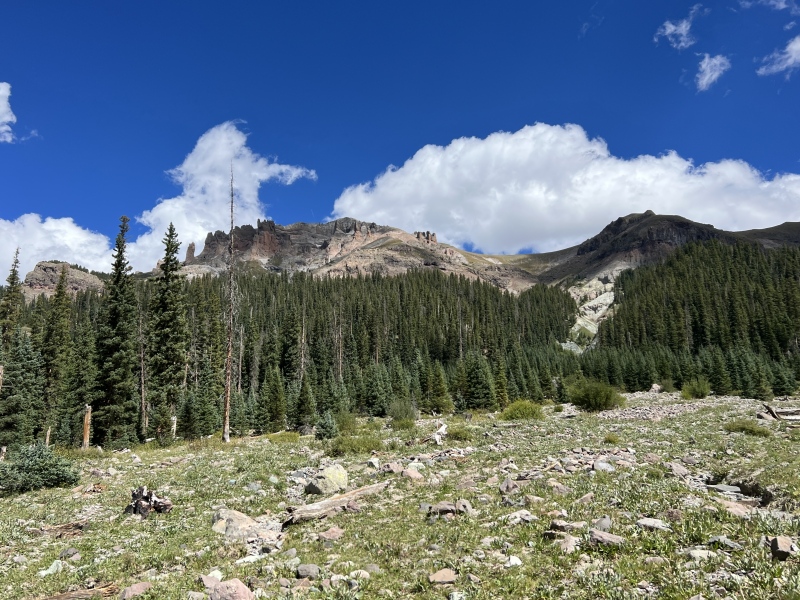
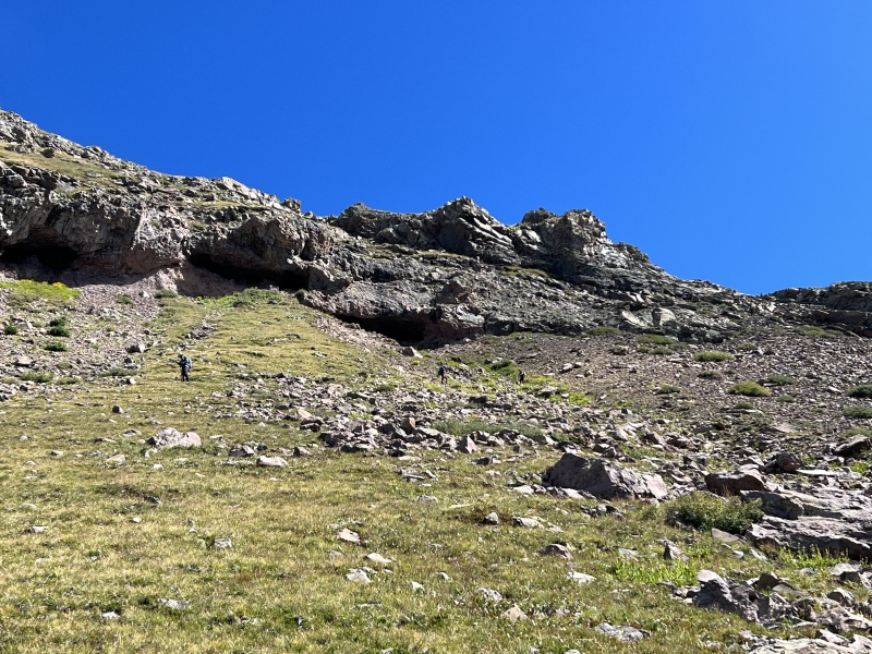
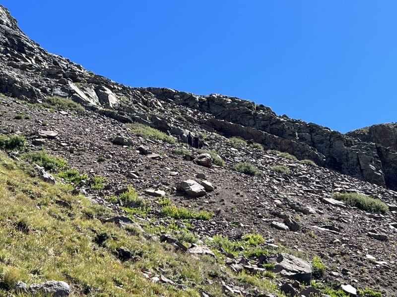
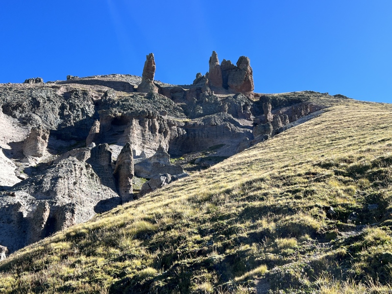
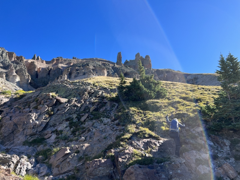
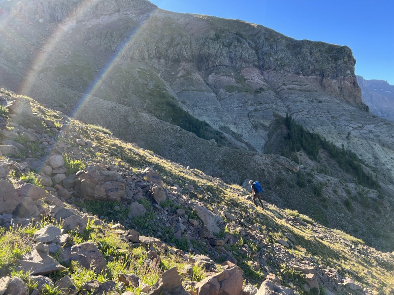
From here, look up to see three ‘caves’ in the rock above. You will eventually move to the right of those caves. Pick your path up, grassy slope or grass and rocks, or rocks.
(There was a group in front of us. They turned right and crossed the gully here and made their way to the saddle. You don’t have to do that, but it goes.)
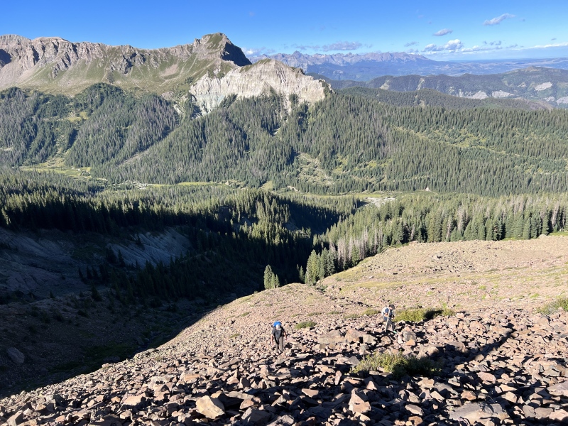
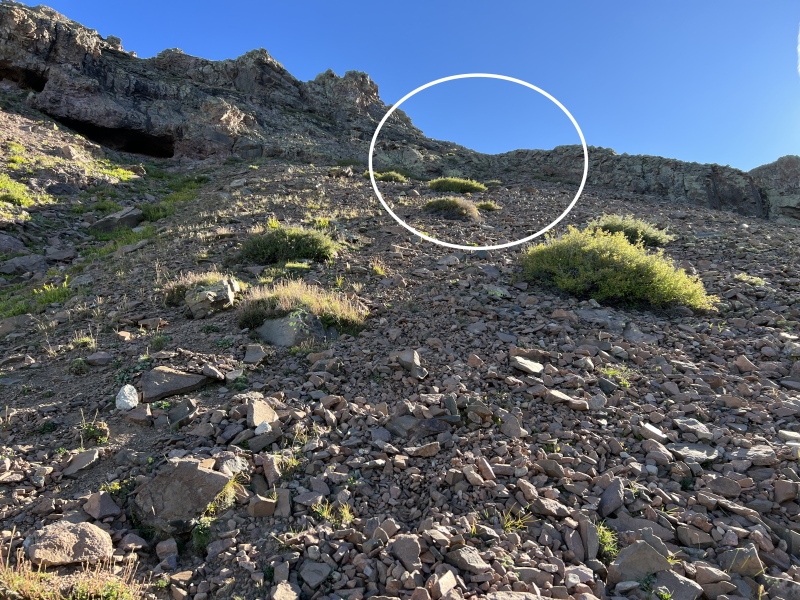
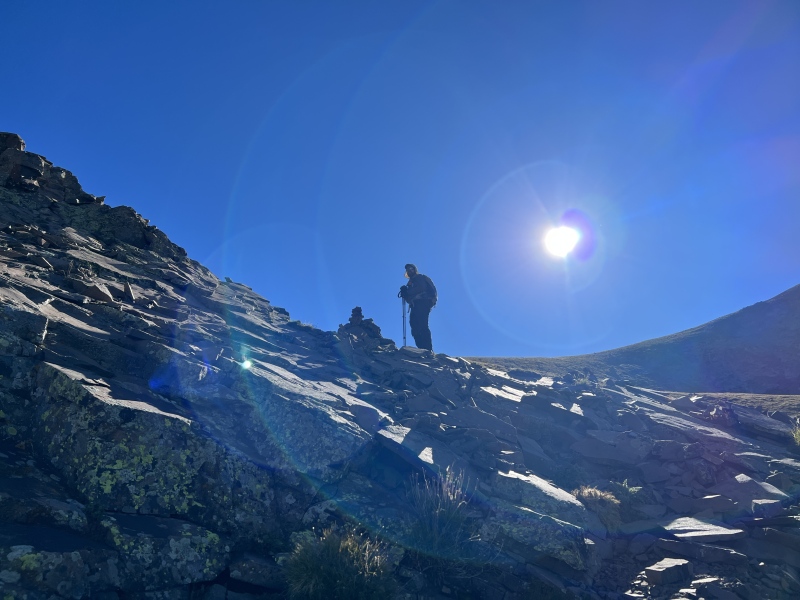
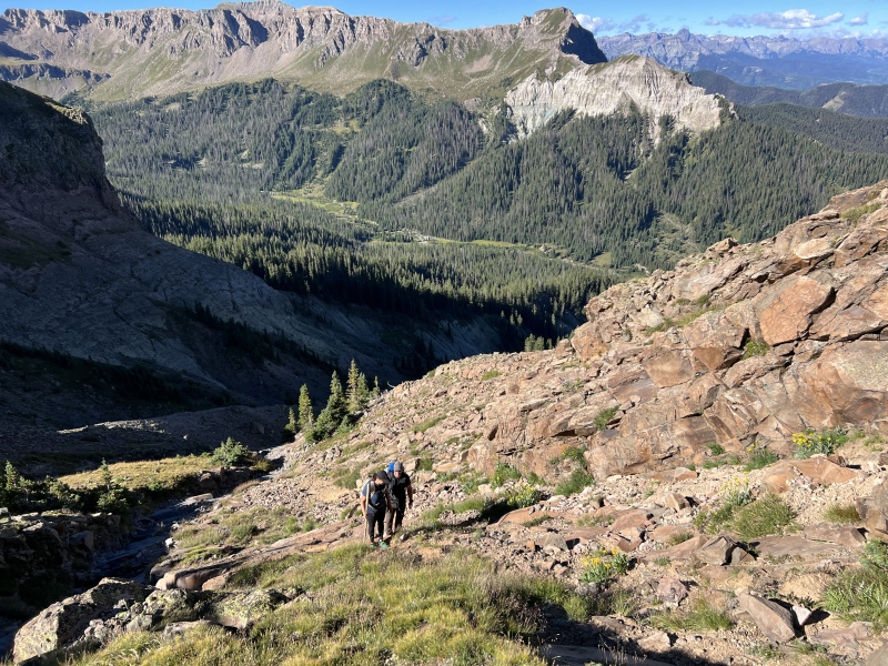
Before you reach the caves, you’ll move right towards a low spot. It’s Class 2+. You will eventually see a cairn, near 11,800. From here, look to your right. Across a small drop and grassy rise, you should see another cairn.
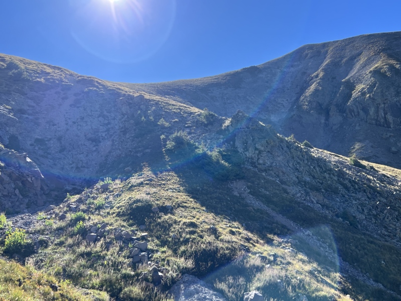
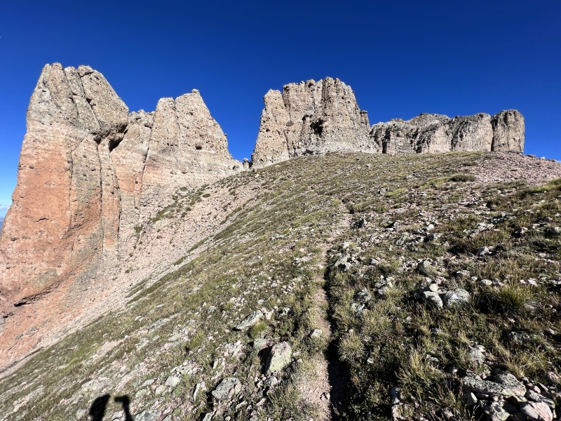
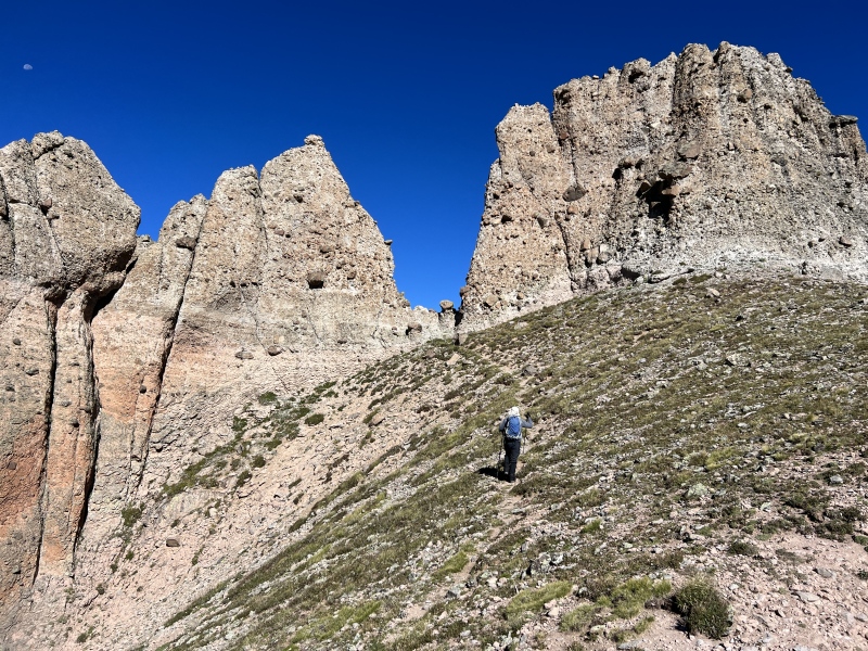
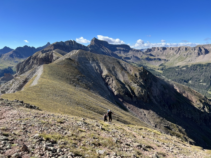
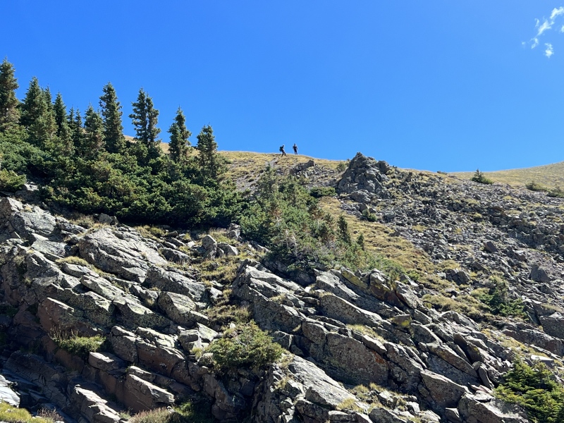
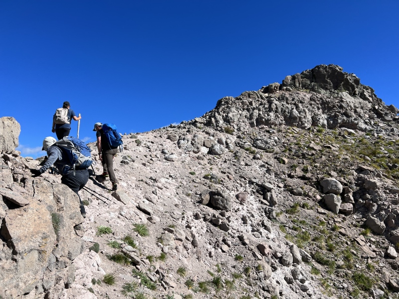
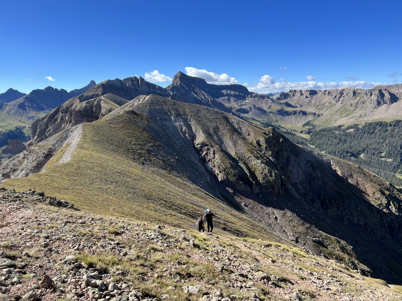
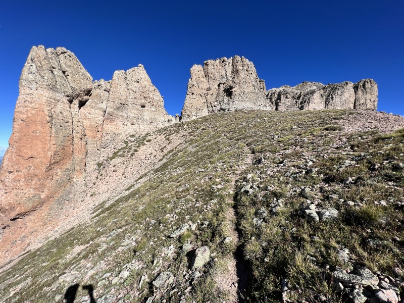
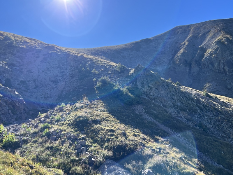
From here, it is a grassy slope to the saddle ridge. You’ll stay to your left and not actually go to low spot of the saddle. You’ll be hiking up below the rock formation that forms the “V” notch you’ll cross through.
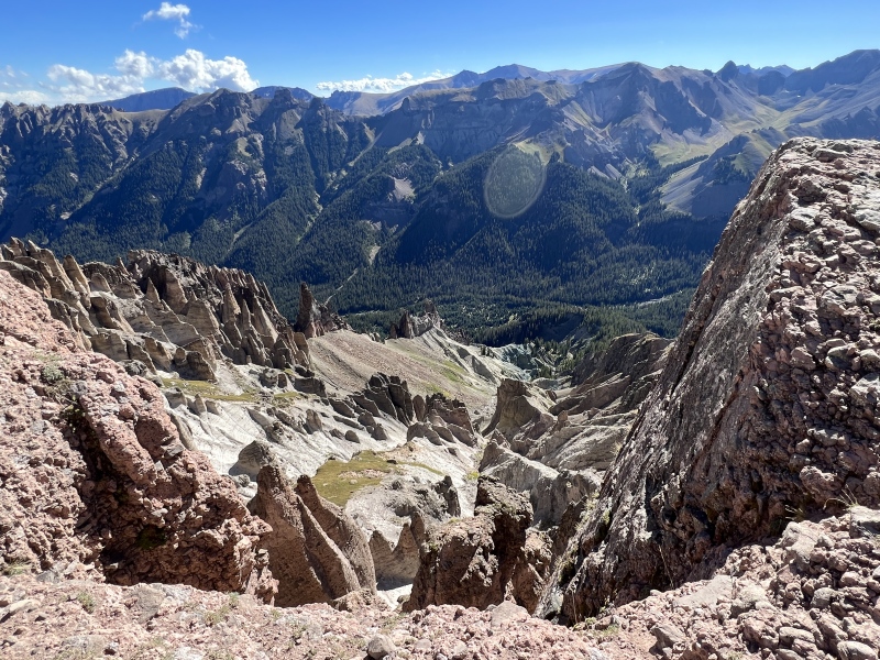
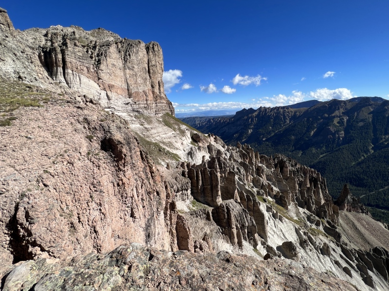
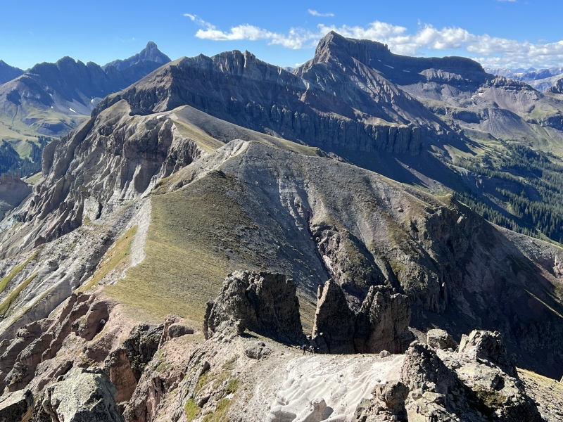
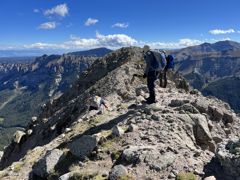
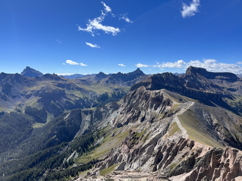
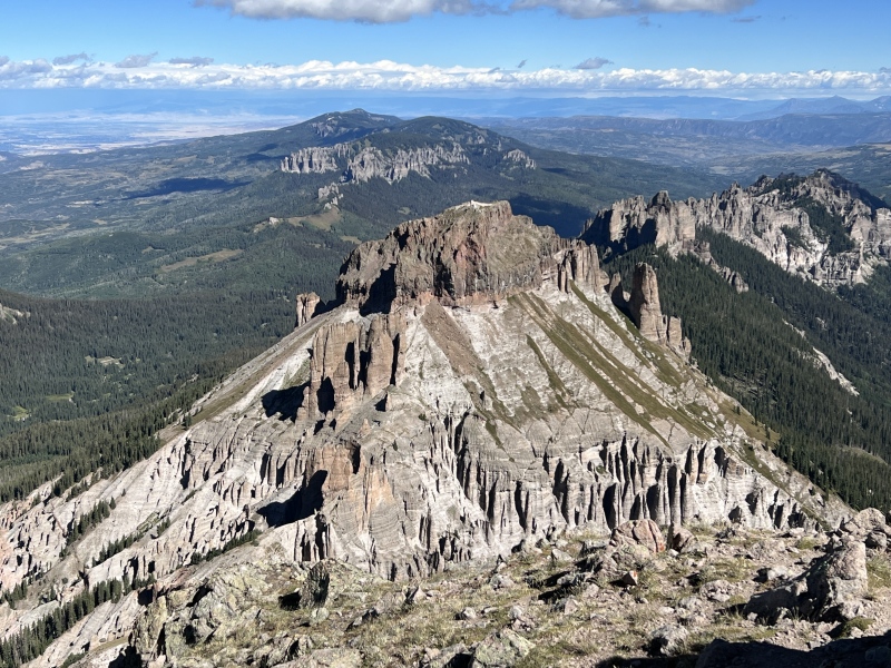
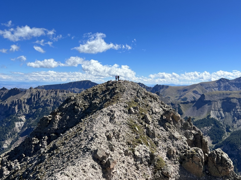
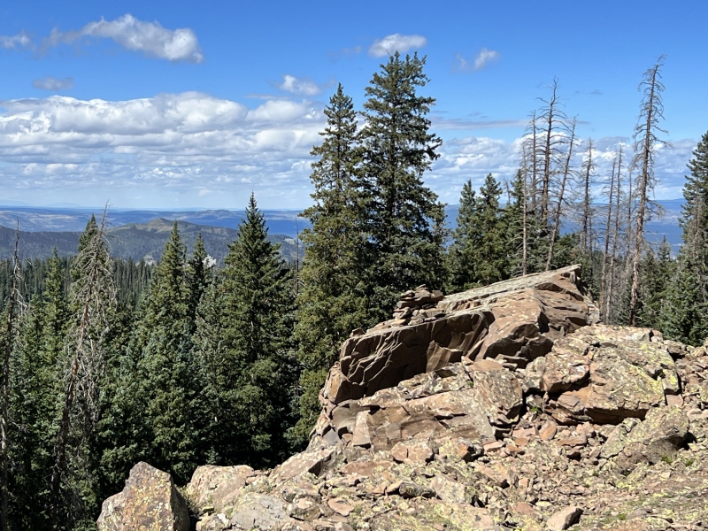
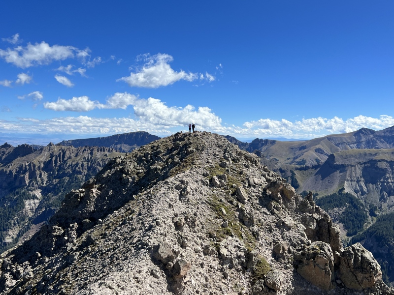
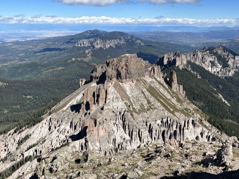
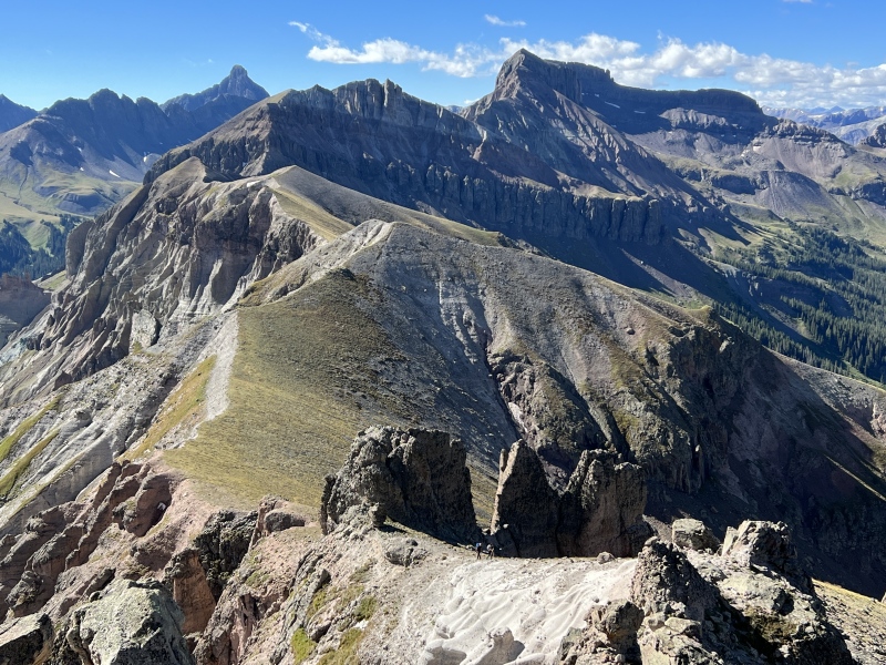
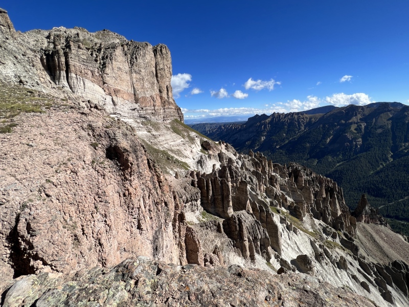
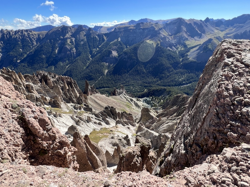
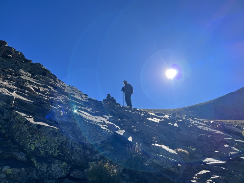
Once on the saddle ridge, there are some interesting views, including the erosion on the opposite side. I took photos of the group on the summit from here. The east side of the summit has a very steep drop.
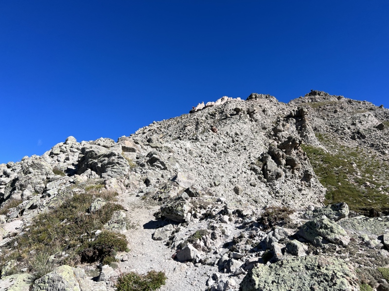
Out of the trees, route aboveLooking back at the cairnWear sunscreen, you are hiking into the sun in the morningStaying on this side of the upper gullyLooking backThe caves, go right (taken on the way down)Move toward the circleRyan at the cairnRyan after the cairn, moving in the grassy areaThe grassy area between the two cairnsBad photo, but you can see the cairnLooking back, can see both cairns.Upper slope
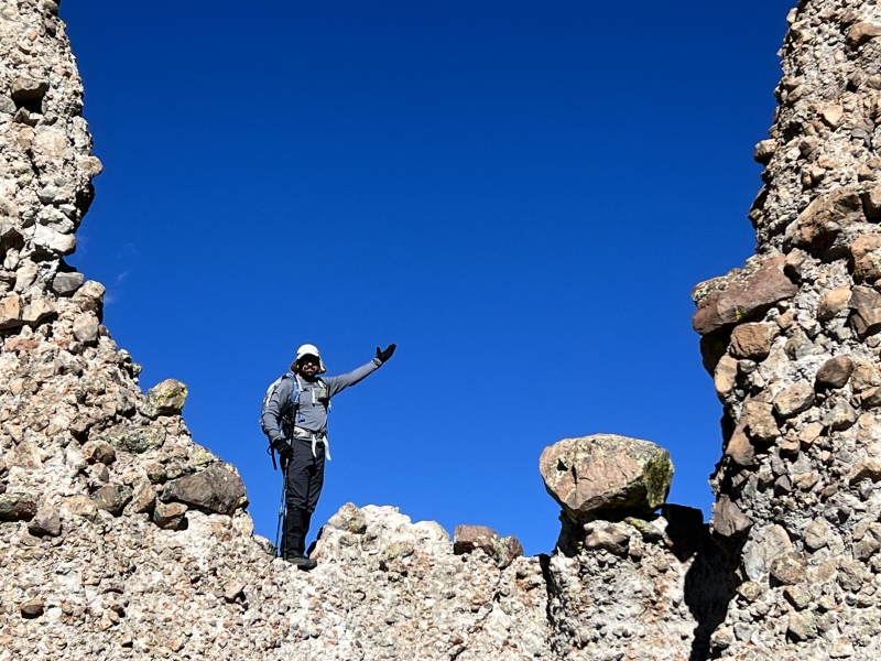
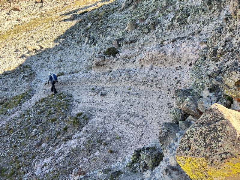
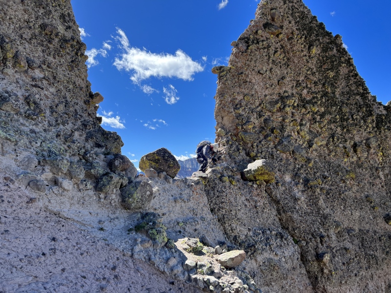
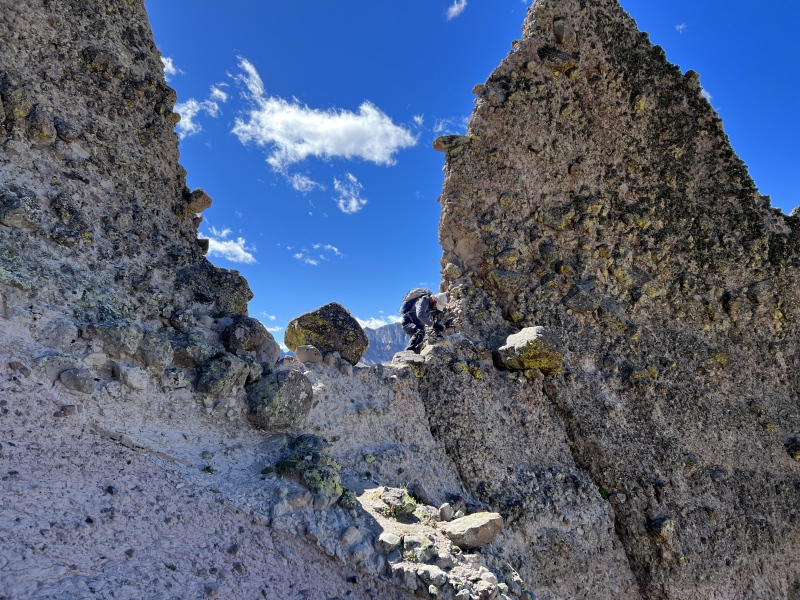
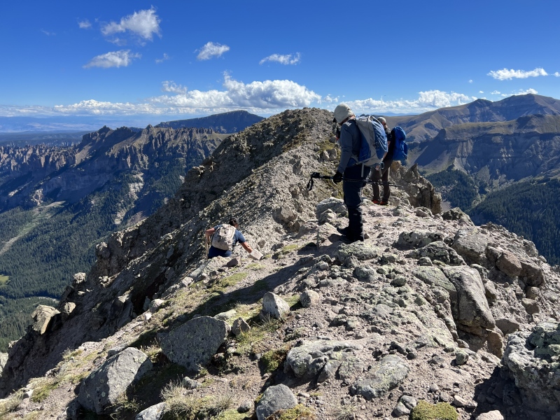
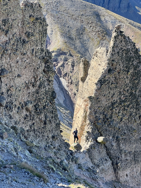
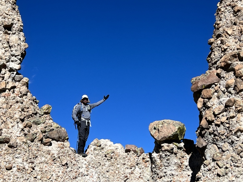
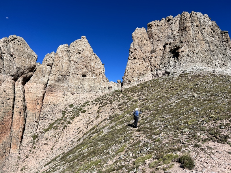
A trail will take you to the notch. It’s a short easy scramble to get on it and over. There is a bit of a drop on the other side, just stay right.
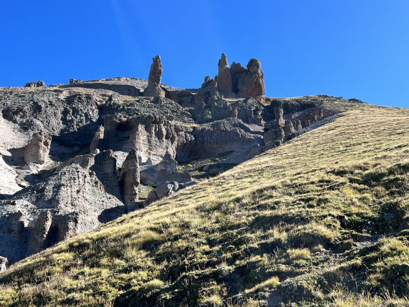
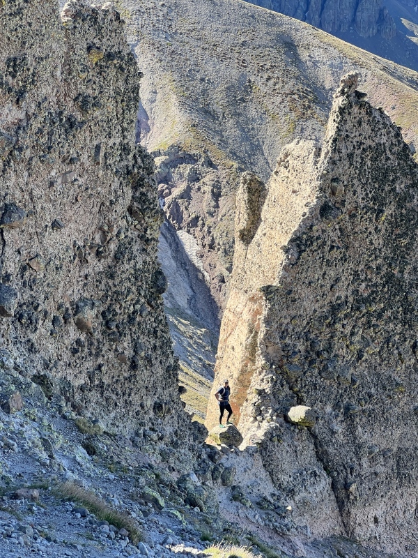
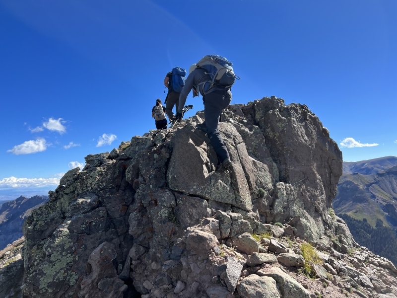
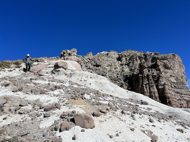
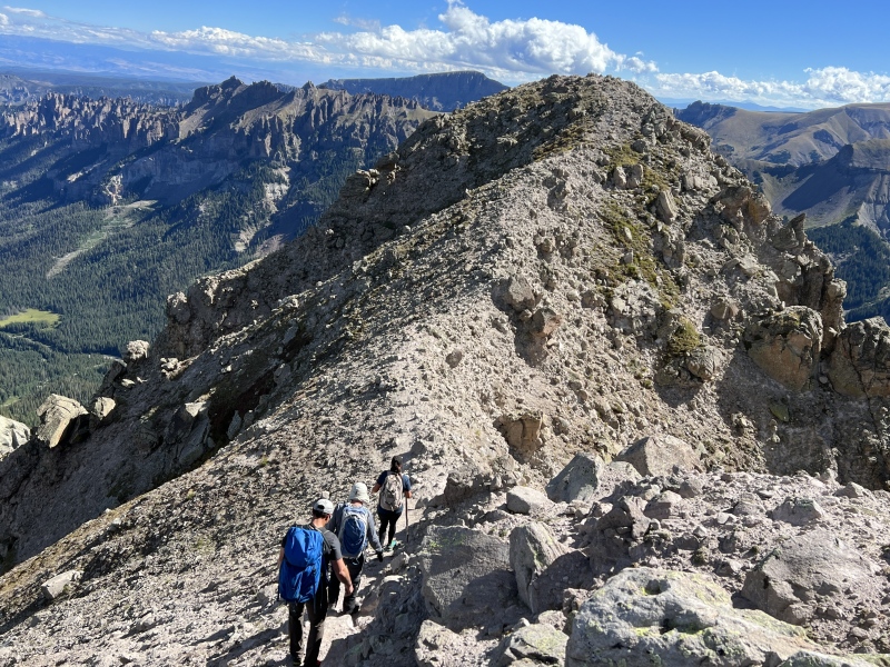
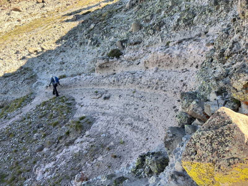
After the notch, the terrain changes. It’s more like Fortress, with the obvious volcanic rocks formations.
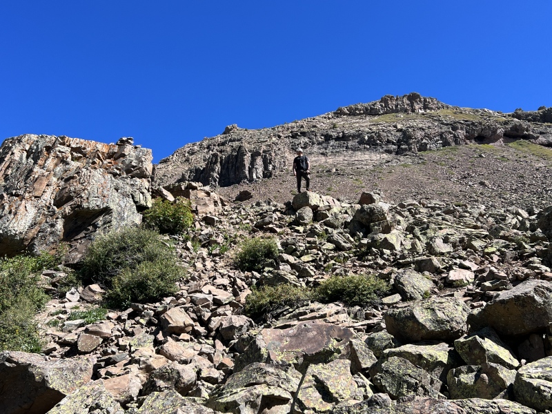
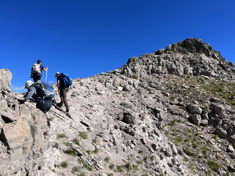
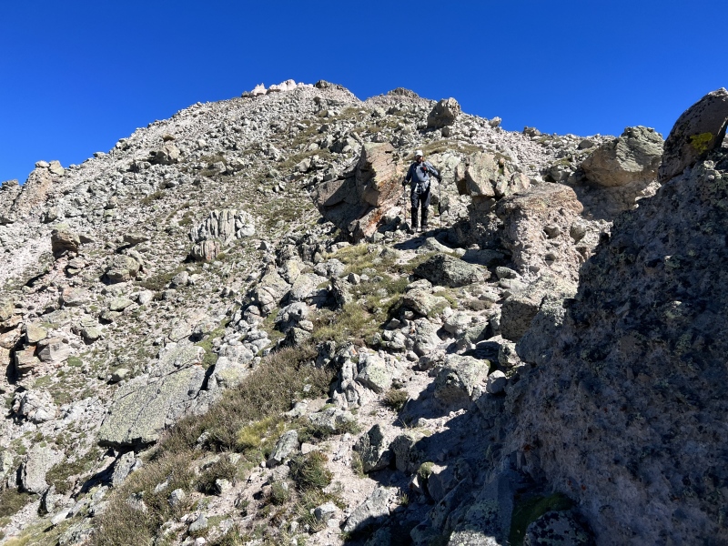
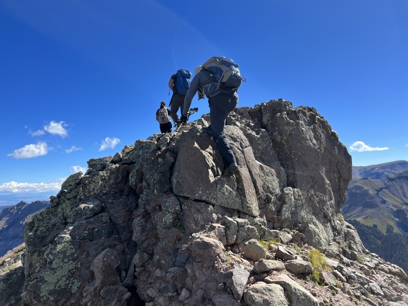
There are is spot, you might need your hands, but it’s an easy up. There were two backpacks here as we went by. And shortly after that, we met the group coming down. And, as with so many of these situations, you either know, or know of, the other people on this 13ers.
It was Gecko and Matt (Gubber13), and Paul and friends from Maryland. I passed along via Airdrop the photos I took of them on the summit.
The notch and the summitThe other sideThe summitNotchLooking back from the notchIn the notchOther side of the notchIn the notchRoute up
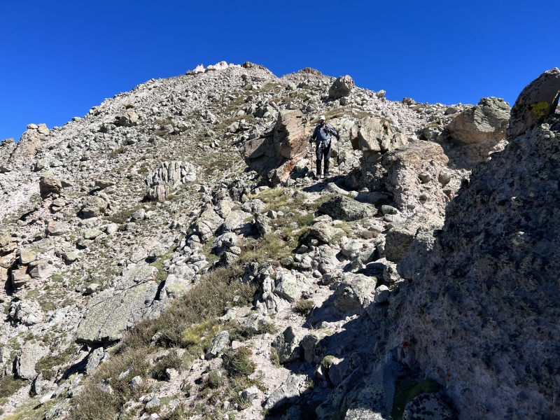
We chatted for a bit and went on our ways. Near the summit, there is an up and over, which included very short scrambles, or you could bypass them on the left. On top of this bump, we joked about pulling a “WW” and just calling this the summit. We decided to go on and make it official.
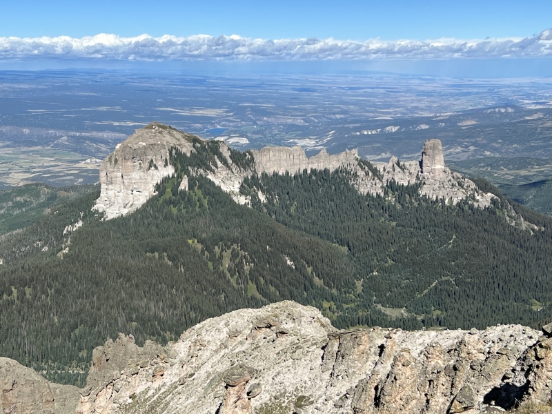
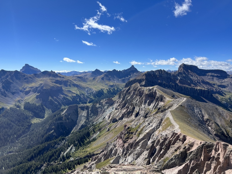
Again, the views of the San Juans were great.
We spent some time taking photos and enjoyed the weather.
We followed our route down and got back to camp as the wind picked up. It wasn’t very pleasant, but we had lunch and took down camp. We drove out by Silver Jack Reservoir for a change of scenery.
Stats
2.35 miles
3:45 hr/min
2:20 to reach the summit
2,200 feet
It is kind of like bushwhacking the Manitou Incline.
Looking at the notch from aboveThe views!False summitBit of a scrambleBack downThe summitViews!More views!Anastasia and Ezra on the summit
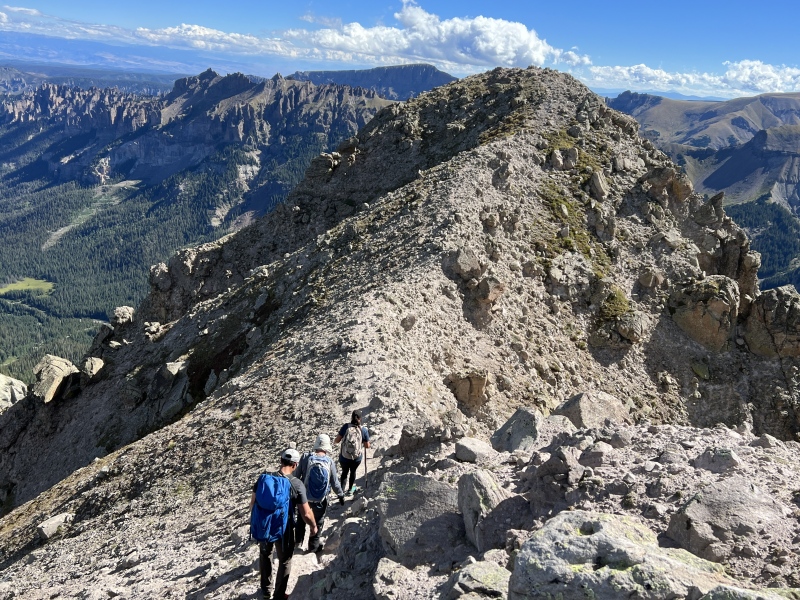
Heading down...
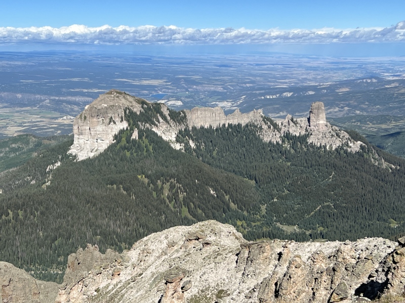
Ryan moving downBack across the notchComing down, the grassy slope cairn can be seenPrecipice
The "straight" line on the GPX... yeah, don't follow that. Not sure what happened there.
GPS Track(s) on Google Maps (made from a .GPX file upload):
My friend Sam and I were camped in the trees next to the road, just before the big "lot" of a TH on Fri night through Sat night. Left on Sunday.
We hiked Precipice on Saturday and Redcliff on Sunday....such an awesome area! I'll be back for Coxcomb, hopefully next summer!
It was great to meet you Joel! We really enjoyed chatting with you at the trailhead. We loved Precipice too with our trusty guide Matt! Great pics! Hope to see you out there again sometime! ... Paul
Caution: The information contained in this report may not be accurate and should not be the only resource used in preparation for your climb. Failure to have the necessary experience, physical conditioning, supplies or equipment can result in injury or death. 14ers.com and the author(s) of this report provide no warranties, either express or implied, that the information provided is accurate or reliable. By using the information provided, you agree to indemnify and hold harmless 14ers.com and the report author(s) with respect to any claims and demands against them, including any attorney fees and expenses. Please read the 14ers.com Safety and Disclaimer pages for more information.
Copyright: Route information, text, risk factors, maps, GPX files, charts, photos, 14ers.com-created map imagery, flythroughs, and other content provided in this route description are copyrighted by 14ers.com and may not be copied, reproduced, republished, distributed, modified, or used to create derivative works without prior written permission.
Please respect private property: 14ers.com supports the rights of private landowners to determine how and by whom their land will be used. In Colorado, it is your responsibility to determine if land is private and to obtain the appropriate permission before entering the property.