| Report Type | Full |
| Peak(s) |
Unnamed 13121 - 13,121 feet Unnamed 13171 - 13,171 feet Mt. Nebo - 13,209 feet Unnamed 13232 - 13,232 feet Ute Ridge - 13,466 feet Unnamed 13351 - 13,351 feet Unnamed 13318 - 13,318 feet |
| Date Posted | 04/25/2023 |
| Date Climbed | 10/16/2022 |
| Author | supranihilest |
| Additional Members | whileyh |
| Early Winter in the Weminuche | |||||||||||||||||||||||||||||||||||||||||||||
|---|---|---|---|---|---|---|---|---|---|---|---|---|---|---|---|---|---|---|---|---|---|---|---|---|---|---|---|---|---|---|---|---|---|---|---|---|---|---|---|---|---|---|---|---|---|
|
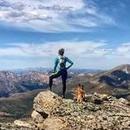
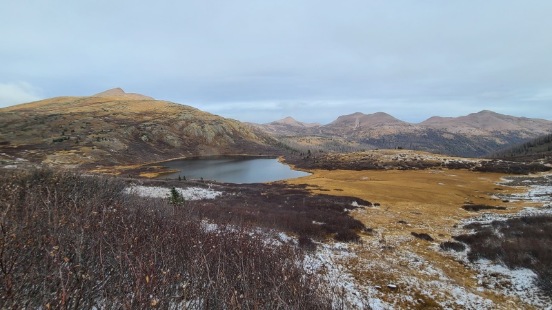
The day before Whiley and I had done the Beartown thirteeners west of Hunchback Pass and Vallecito Creek - Hunchback Mountain, White Dome, and Peak One, Three, and Two. We still had a weather window through at least afternoon today, after which it was going to snow an undetermined amount. I was concerned that we would get enough snow that Stony Pass would become more like Stony Impassable, but we were dead set on climbing the Nebo group of thirteeners, everything else be damned. This would be our last opportunity to do anything in the Weminuche for the year. I also wanted to do the Ute Ridge thirteener trio, which Whiley had already done, but I figured that would be a longshot and would make a snap decision on whether to do them as we passed by at the end of the day. Air temperatures were frigid when we woke up, and it had snowed overnight. An intermittent fog clung to everything and chilled us to the bone. We warmed up in Whiley's truck before we got started and hoped that we'd be able to stay warm throughout the day. We'd just have to constantly be moving. The first couple of miles up to Hunchback Pass were familiar, having been here umpteen times, and we were quiet aside from the crunching of the snow underfoot. At the pass we departed the trail heading southeast up a rocky, snow covered slope towards Point 13,110, still a couple more miles away. We were able to avoid most of the snow on the ridge by sticking to the line between northern and southern aspects. 
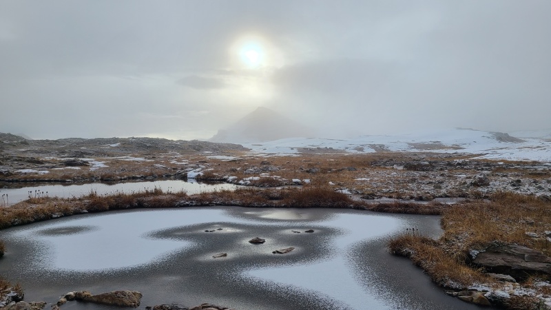
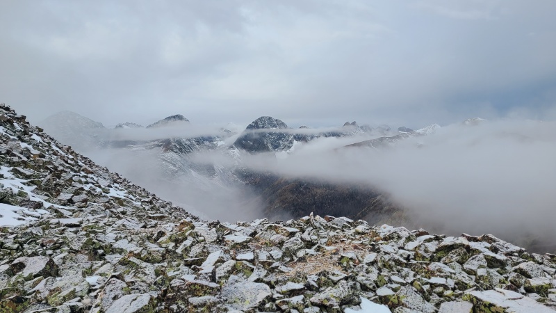
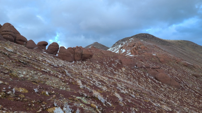
From the top of the ridge things opened up into a mostly flatish mix of boulders and tundra. Everything here was frozen and covered in just a dusting of snow, which made the smooth rocks slippery. The sun attempting to poke through the fog made for an ethereal landscape. We knew on a day like today that we would be out utterly alone. Crossing the flat expanse we could see flashes of peaks come and go in the fog. Navigation was a bit difficult for this reason, but the terrain easy enough that we could just walk in the general direction of 13,110. An unranked blob with a spot elevation of 13,001 feet looked like our peak at first but we soon discovered we needed to go a bit further. 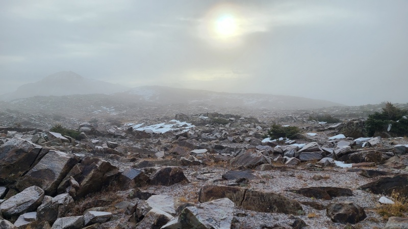
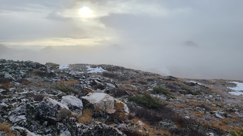
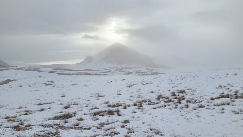
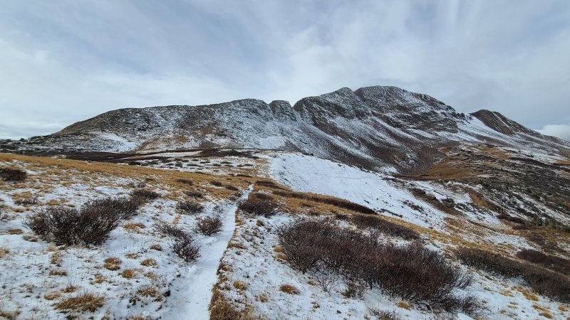
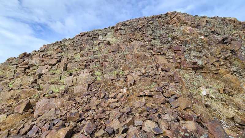
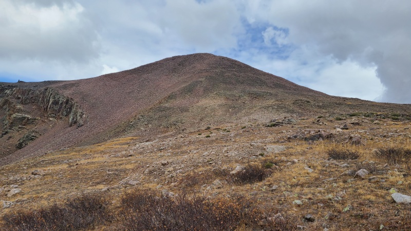
Around the time we first observed 13,110 the fog began to lift. It wouldn't lift much above the summits of any of our peaks but it at least would clear enough for us to see more than the swirling clouds of the early morning. We could see 13,110 in all of its glory now - or perhaps all of its lack of glory. It was really just a giant mound of smashed rock. 
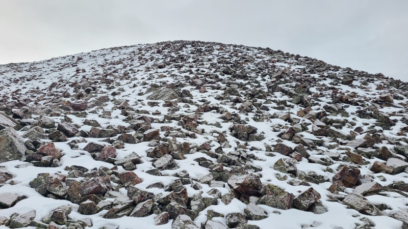
It was only about 400 feet up 13,110 from the base, but being that this was a north facing slope it was covered in a considerable amount of snow. Though the slope was only Class 2 we had to be very careful not to slip on the snow and ice coating the rocks. The final ascent felt like it took forever. 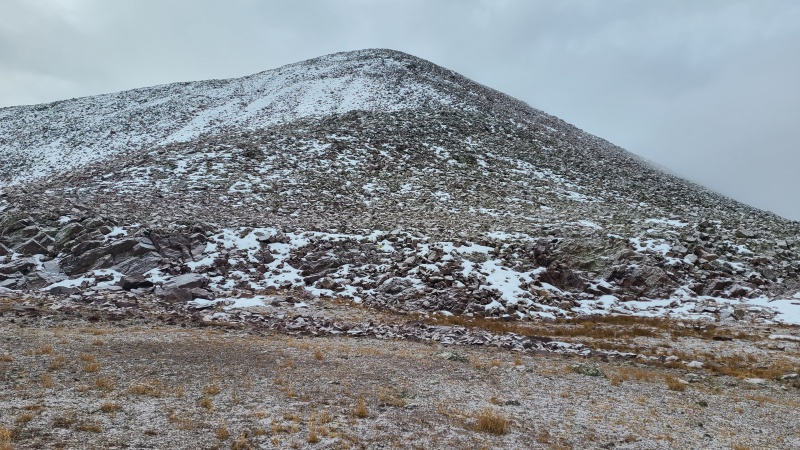
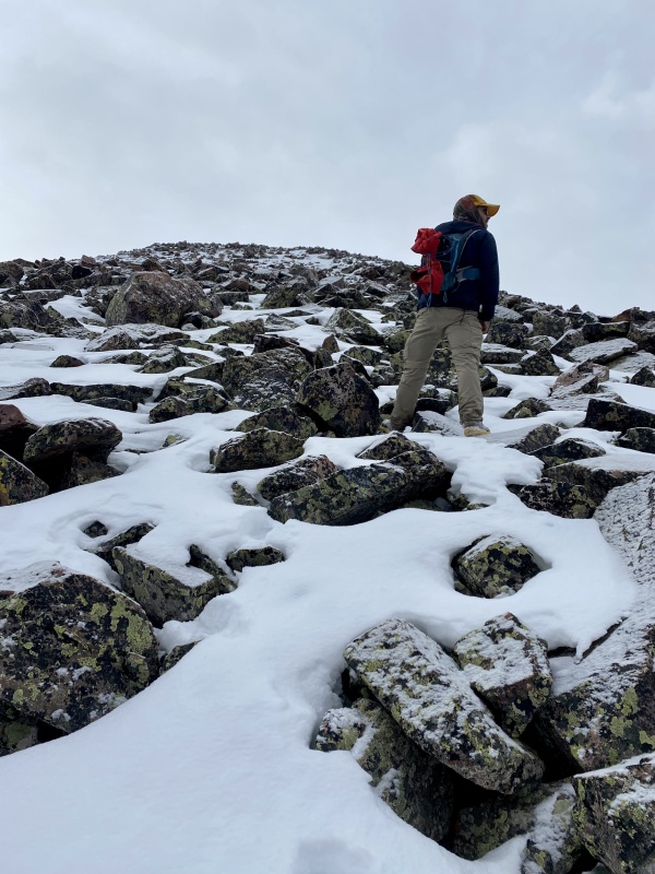
The last few feet up to and including the summit were once again enclosed in fog. We stopped only briefly to search for the summit register before moving on, since it was both freezing cold and there was nothing to see. 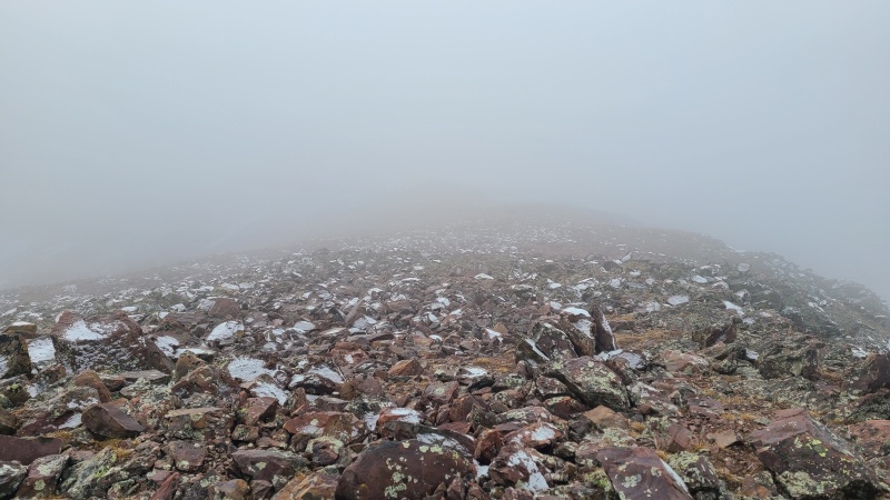
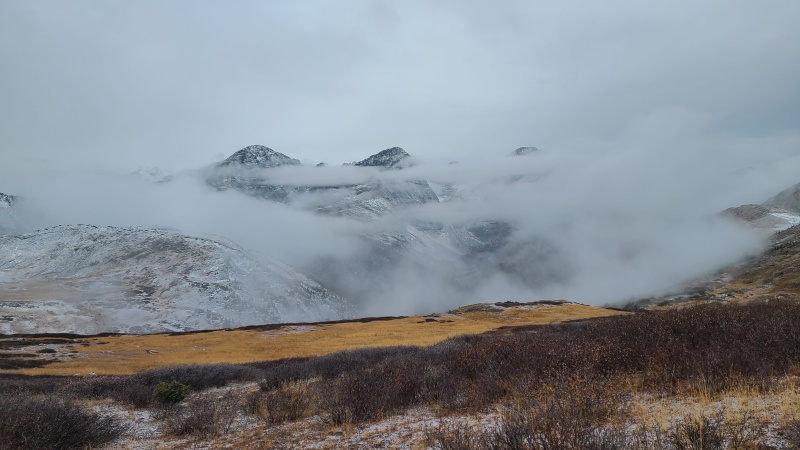
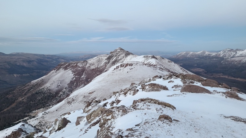
Fortunately for us the descent down 13,110's south slope was dry, and we were soon out of the fog and could see ahead to 13,230 A and Mount Nebo. Unfortunately both peaks were far too snowy to climb them directly like most people do. We imagined it would be possible, but neither fun nor safe nor a good use of our short daylight window. We instead dropped down to the Continental Divide trail and began taking it east. We could wrap around and go up the (presumably) drier southern aspects of these two, plus 13,169. Since 13,169 was the farthest peak of the day we decided to do that first. We'd be able to scout Nebo and 13,230 A from there as well. 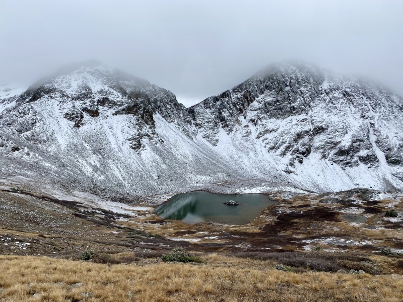
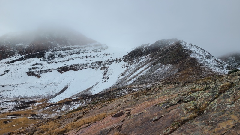
The trail was of course snowy but speedy. We were able to follow it easily to the saddle east of 13,169, another peak that we probably could have done a direct northern ascent of, but miserably so. 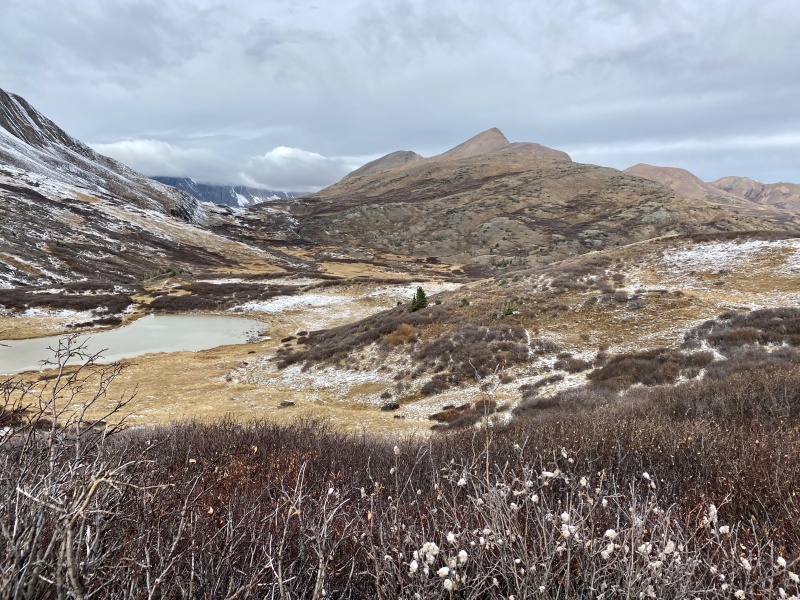
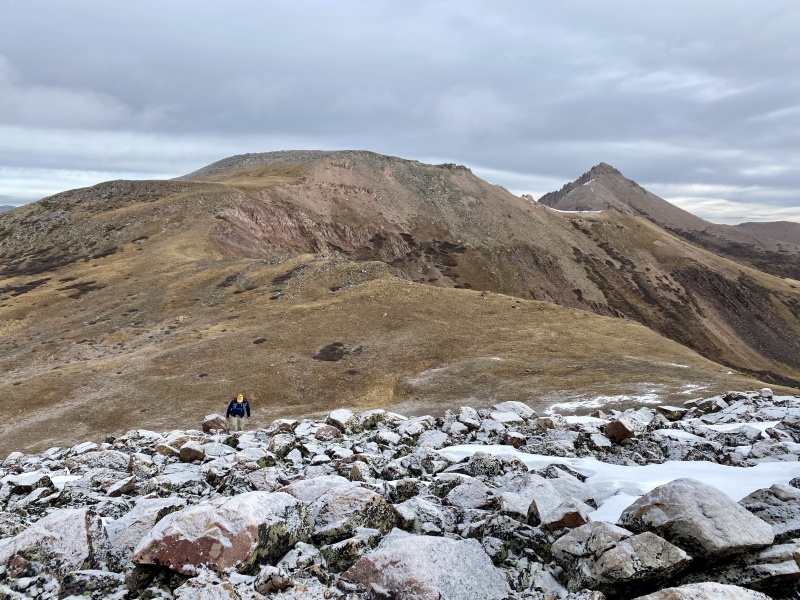
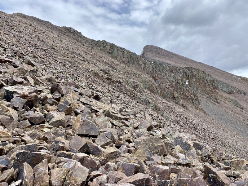
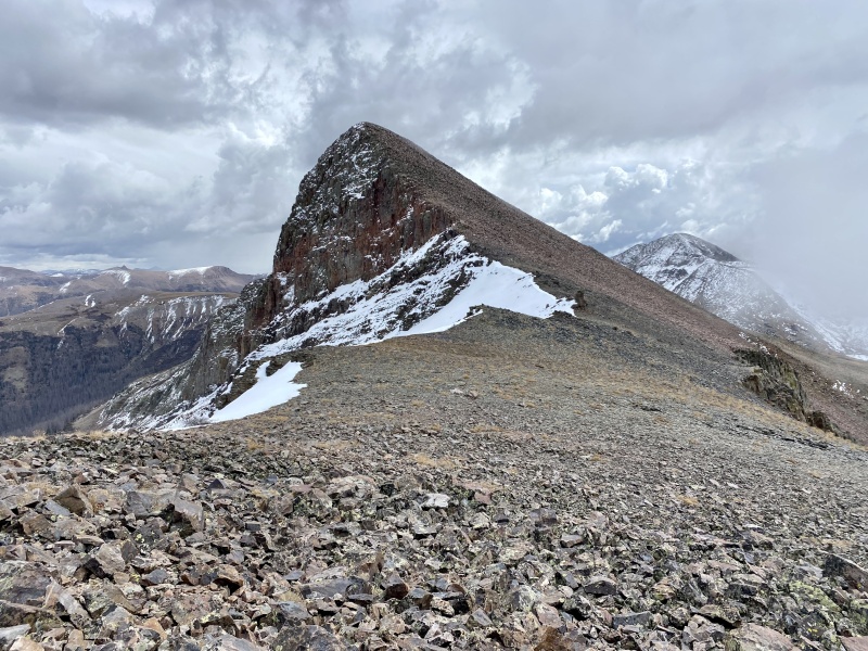
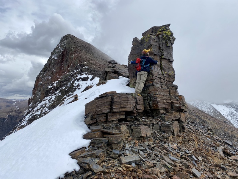
Instead, from the saddle east of the peak, we found the east ridge to be basically dry. This was definitely the most fun part of the day, with some pick your own adventure Class 2+ scrambling on solid, lichen encrusted rock. There were a few notches we could see on the approach but they weren't a problem due to the stairstepper-like rock. 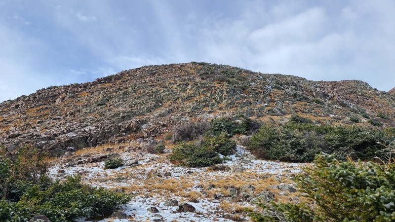
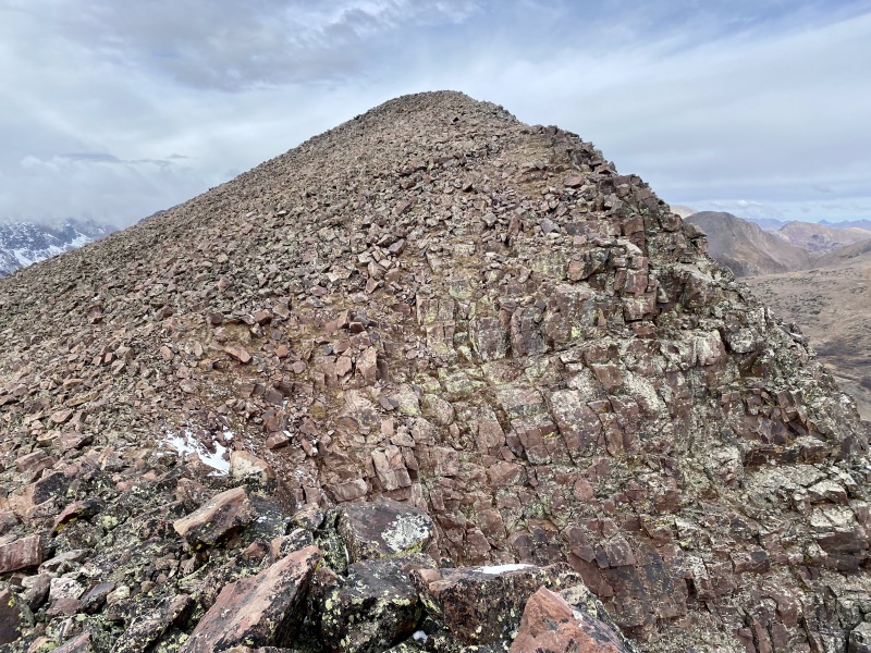
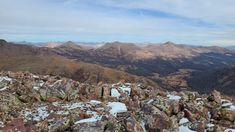
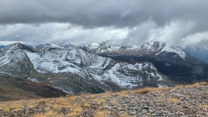
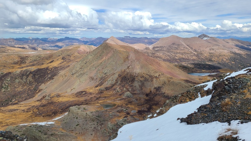
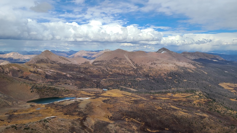
800 feet later we were on top of our southernmost peak for the day, with the expected expansive Weminuche views. The contrast between northern snowy aspects and southern dry aspects was apparent now that the clouds had risen some. 


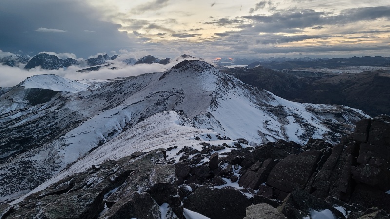
It was cold on top of 13,169 so we quickly returned to the eastern saddle and began making the nearly 2.5 mile trek to Nebo. It would have been easier to go up 13,230 A first but Nebo was farther, and we almost always choose the farthest peak instead of the easiest. It probably didn't matter in this case, they were easy to link together in both directions. 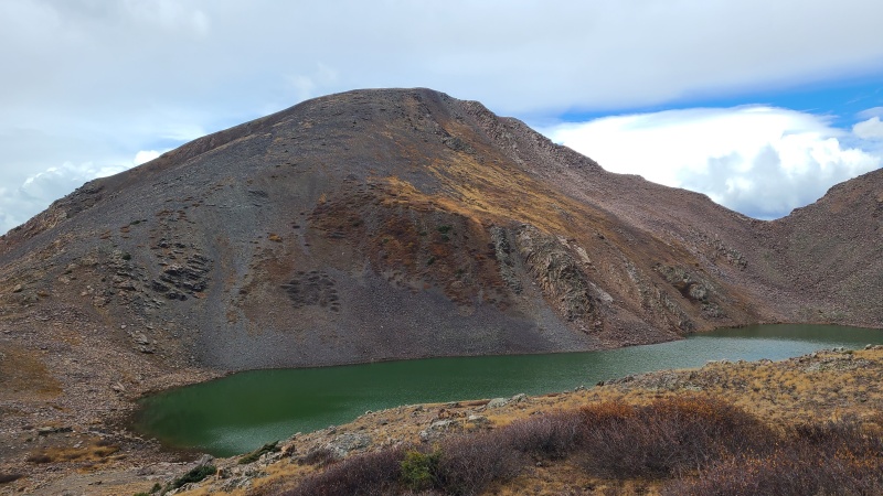
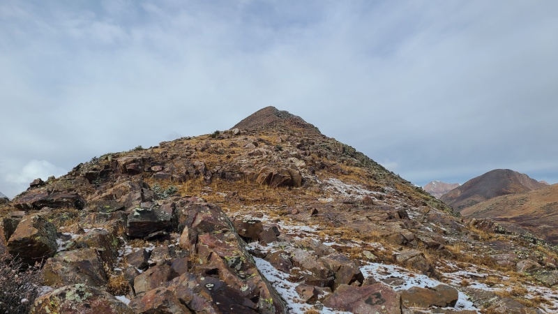
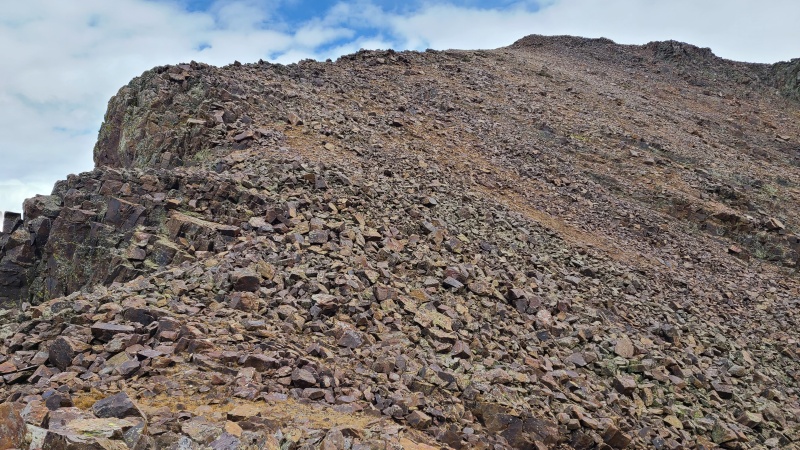
Nebo's southeast ridge wasn't that pleasant, consisting of a mess of crushed, black chiprock that liked to skitter around. Still, it wasn't particularly steep but it was particularly dry. Nice. 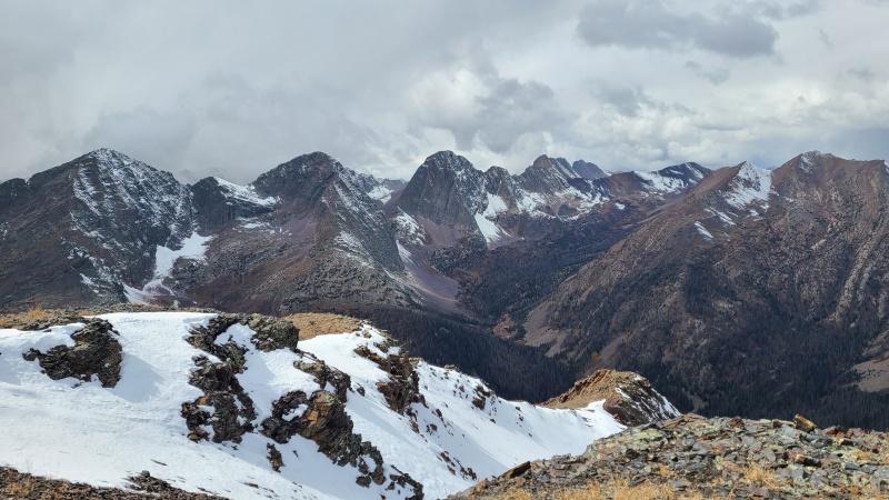
Descending Nebo we had two (or three) options: descend ridge direct, which had some snow on it; go down a steep scree slope towards the lake for a few hundred feet, then traverse to the saddle and up 13,230 A; or go down our ascent route all the way back to the lake, which wasn't really much of a smart option. We chose the second option to avoid the snow, and somewhat carefully picked our way down the crap rock until we could pass under a rib that blocked easier access. 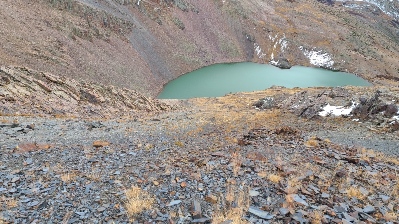
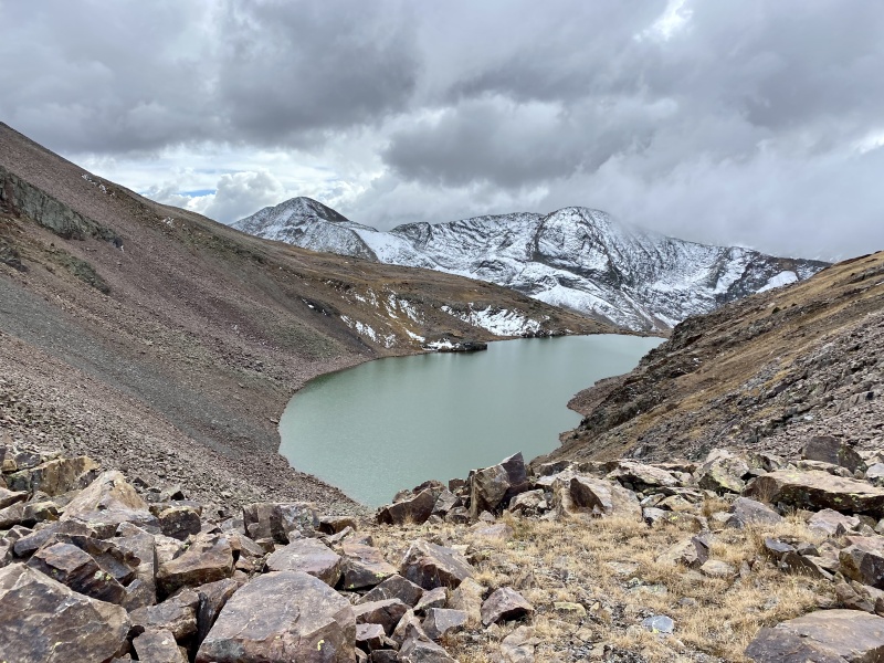
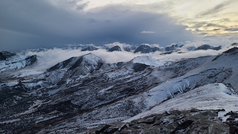
From the bottom of the rib it was an easy but tedious traverse on blocky talus to the saddle, then up tedious rock that was also steeper. Here we were able to basically stay ridge proper, since it was dry. 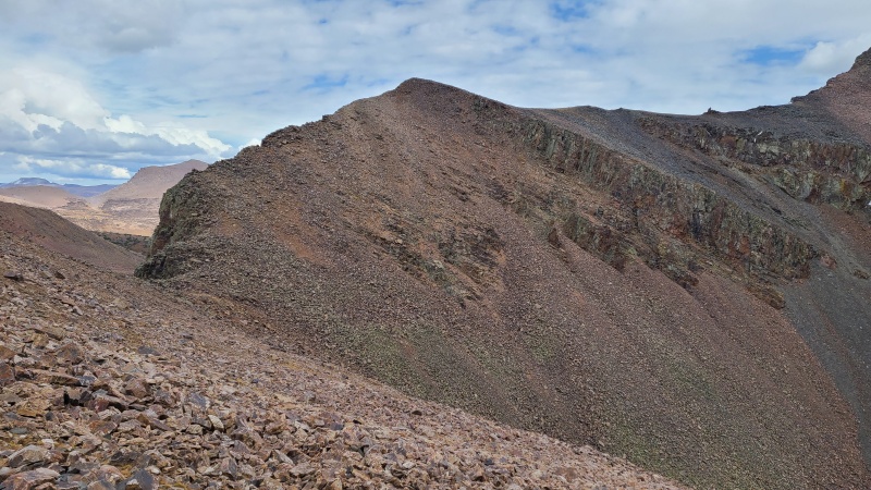
Once we'd reached the northernmost point on the ridge we turned southeast and made our way up the rest of 13,230 A, which was a bit more mellow. 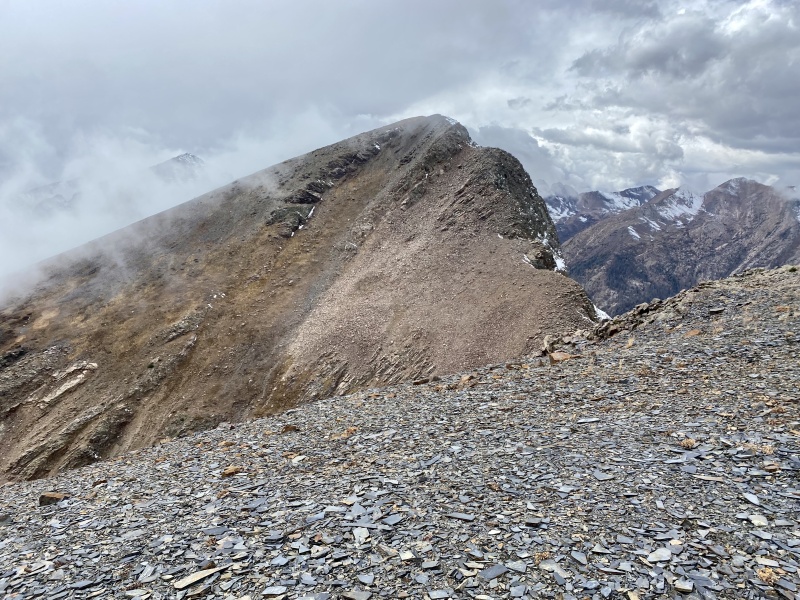
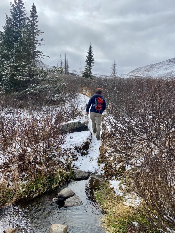
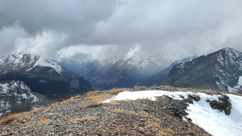
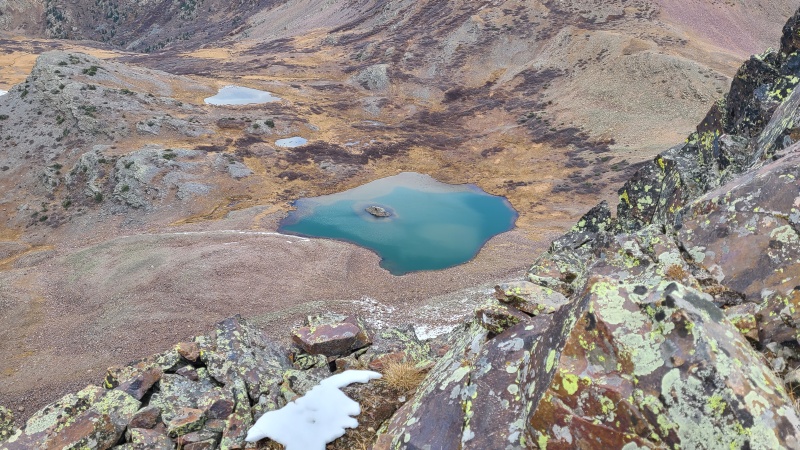
We took our longest break on 13,230 A, all of barely four minutes. Our longest unbroken stretch of the day lay ahead - from here back over the Ute Ridge group and back to Beartown. Neither of us had mentally committed to our respective remaining peaks - all three Ute Ridge thirteeners for me, and twelver Indian Ridge for her - but in a way there was no commitment to be made. We knew this was our only chance for the entire rest of the year and that we had to get these peaks now or suffer the consequences. Neither of us could really bear the thought of leaving them behind, and we didn't want to spend another day next year doing them. What it really came down to was trying to ignore the pain we knew was ahead of us. We'd deal with it one step at a time. Having gathered our reserves we descended 13,230 A's obliging east ridge, then bypassed West Ute Lake on its north shore. We met the junction of the Continental Divide trail and West Ute trail and took the latter north as it wove through now frozen marshes and forest. When the trail started going northeast instead of straight north we went off-trail and began ascending through the forest towards the Beartown trail, which we also basically ignored since it switchbacked like crazy and added too much distance for how little daylight we had left. The weather for most of this long hike was actually somewhat nice, devoid of wind and with just a kiss of sun making its way through the trees. The terrain was similarly enjoyable, basically just very moderate grassland and open forest. Once we reached treeline the grass gave way to red kitty litter courtesy of the Ute Ridge group's andesite composition. It also began snowing. We picked up our pace. I worried that the storm was here and that I wouldn't get my peaks. High up on the slopes, before reaching the ridge, the trail becomes nearly impossible to follow, so densely packed are the game trails through the kitty litter, one stacked on top of another stacked on top of another, running up and down and across the slope. Whiley and I parted ways here, and she went up and over the pass between 13,308 and 13,342 while I headed off towards Ute Ridge. The snow was getting heavier now and starting to stick to the grass. It hadn't yet gotten cold enough to stick to rock. 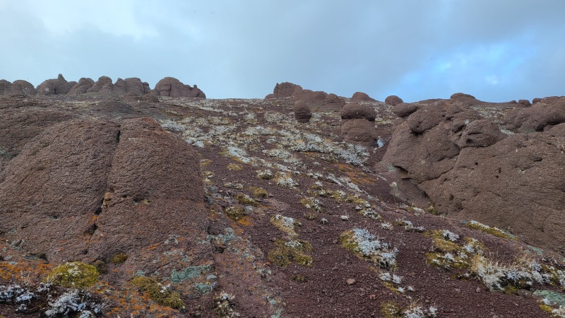
I had a couple of minor ridge points to climb over, and got one good glimpse of Ute Ridge's guardian cliff band before the storm hit hard. 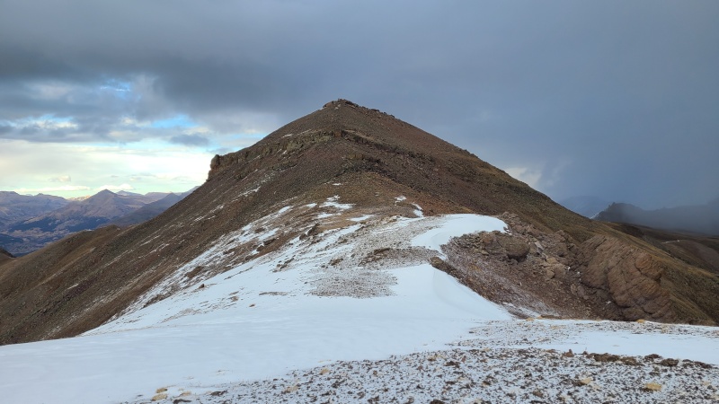
As I walked up the final ridge to the cliff, the storm rolled in and showed its fury. Within seconds I was engulfed in horizontal blowing white, the gusts knocking me over. I quickly put on a second jacket, upper and lower body shells (fortunately I had my pants with me!), a stocking hat, and heavy gloves. I pulled my buff over my face and continued upward, still in the whiteout. I couldn't even see the peak at this point and just trekked until I could see the summit cliff. A route wasn't immediately apparent so I made a quick look around the western side of the summit before returning to the ridge and scrambling up some broken blocks and chimneys at about Class 3. The storm was still raging and I could barely feel my hands or toes and was shivering due to the wind, but I was there. I didn't bother even looking for the summit register since I wouldn't have been able to sign it with frozen hands anyway, and scrambled down the summit cliff before starting to run down the ridge in an attempt to generate some heat. The storm stopped suddenly, though a bitter wind streaked over the ridge, which was now entirely white. It had only lasted 45 minutes or so but the storm dumped enough snow that I wondered if I'd even be able to get my last two peaks, or if I'd have to go back to the Beartown trail and orphan them. I'd at least give them a shot. I couldn't really get much colder or in much worse a position, far from Whiley's truck, so I gritted my teeth and started climbing up 13,342's grassy southeast ridge. 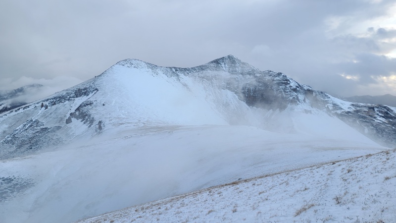
Partway up the ridge things got so steep and icy that I was slipping around. I wasn't sure a fall here would be arrestable, and I didn't have an axe anyway. I stopped and gingerly put on microspikes, another thing I was glad to have with me. The ice was probably a few tenths of an inch thick here from the snow quickly melting then freezing into a crust. With the security of my spikes I carefully ascended to the knob at the end of the ridge. 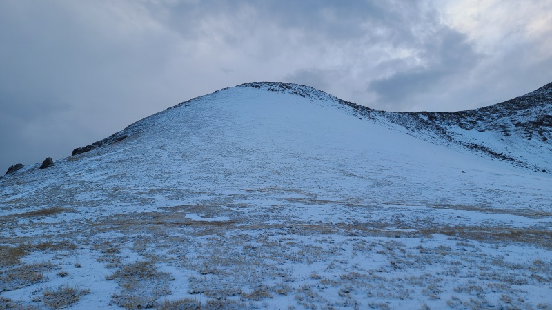
Here I felt my spirit collapse. I was utterly exhausted and freezing cold. Night was rapidly descending. Directly ahead of me was a ridge that didn't look particularly hard, but I had hoped would just be grass. Instead I was faced with either a scramble or a rocky catwalk. Maybe it just looked worse in my exhausted state, but it sure didn't feel great crunching along this stuff in spikes. All in all it was only Class 2+, and probably unnecessarily so, but I'd had enough for the day and wasn't moving with much grace or fluidity. I honestly wanted to cry. I wasn't having fun anymore. Just a little storm and it brought me mentally to my knees. I scrambled across the ridge and reached the summit of 13,342 mere minutes before sunset. 

The views here were sobering. Whereas I couldn't see anything from Ute Ridge in the whiteout, I could now see deep into the Needles. Absolutely everything had been blasted pale and cold by the snow. It was beautiful, no doubt, but the sudden shift in hospitability was shocking. I was lucky the storm had stopped when it did, because it quickly could have spelled danger for me out there alone. 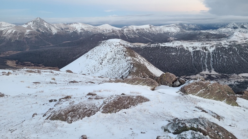
I put my headlamp on and once again ran down the kitty litter on 13,342's south slopes, knowing I was now racing total darkness. 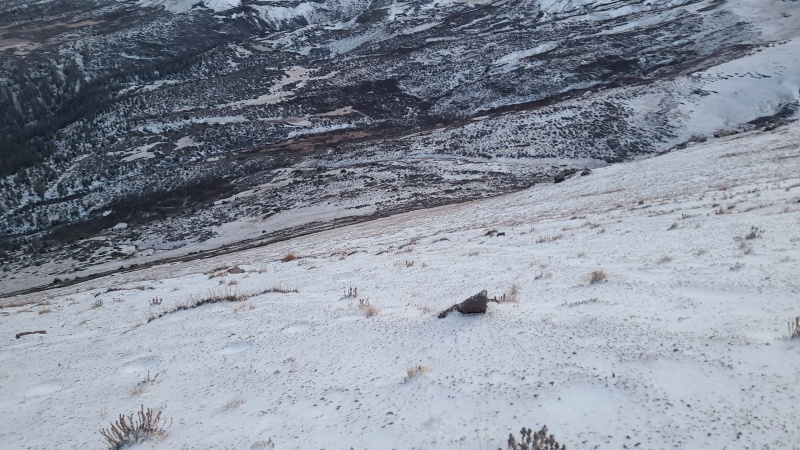
I was quickly level with the saddle with 13,308, but not quick enough. Clouds had come in and rendered the skies completely dark. From the saddle I began plodding up 13,308 and almost walked right into a big, chossy tower, which I wrapped around to the south. At this point I was dragging hard, but I was determined to get this final peak. There is nothing that could have turned me around now, not even another storm. For the most part 13,308 was like its neighbors, easy but steep slopes on crappy rock. Only the tower early on, and my exhaustion, gave this peak any sort of difficulty. I got to the summit and swept my headlamp across the ground trying to find the highest point. I assumed the small summit cairn was on the high point and hiked back towards the saddle once more. As I rounded the saddle to the north side I was surprised to find deep, drifted snow, probably a few feet deep now. I had been expecting a nice trail, not deep snow. Fortunately a shallow trench broken along the top of the snow kept me on target, because I would have been utterly lost without it. There was no natural light for me to see more than a few feet in front of me, so it's not like I could figure out a way down visually, and these slopes were also a lot steeper than I expected, plus being uniformly smooth and white. Everything in every direction looked the same. The trench was a godsend, and I stuck to it with rapt attention hoping it wouldn't just peter out into smooth nothingness, which it never did. It did sometimes split and merge, and there were some switchbacks, so obviously multiple people had been here before. I knew Whiley had gone down this en route to Indian Ridge but she'd at least had the benefit of daylight. Hopefully she'd been off it before the storm, since she had neither waterproof footwear nor traction to assist her like I did. This part made me pretty darn nervous, both about falling down the slope (which may have been unfounded, but when your entire world is a sphere of light ten feet in circumference on a steep, snowy slope the mind goes wild places) and simply getting lost out here. Whiley would come for me eventually, or so I hoped, but I didn't want to put that on her, especially not in the middle of the night like this. Care was the name of the game. Slowly and with more effort than was probably necessary I made my way down. I could think of only one thing: sleep. The thought of crawling in between the flannel sheets on the bed in my van is what kept me going. Sometimes it's the simple things. Once I began descending off the ridge and into the valley the snow did at least become shallower, and once in the trees disappeared completely. I now had an actual trail to follow, which made it a little easier to switch to autopilot. By the time I reached the road I could hardly believe it was real. I had only a short distance to the truck but it took forever. Or maybe it was all in my head. The light streaming through the windows of the truck was glorious and I followed it like a firefly. My tent was still up, since we weren't sure if we were going to be here a third day for our last few peaks, so I warmed up for a few minutes then quickly tore everything down and threw it in the truck bed. Whiley made the painstaking drive over Stony Pass and I picked up my van at the bottom of the road, then we drove to my favorite "camping" spot near Silverton for the night. By now it was something like 11pm. I didn't even eat dinner before passing out. I don't think I could have stayed awake that long. As whipped as we both were we were also ecstatic to have had two massively successful days climbing a dozen Weminuche thirteeners in cold and snow which was a real test of our fortitude. These were two of the best days I had all year, and a good reminder of my capabilities which I'd need the next few months as I personally battled a difficult winter against the stormy darkness and cold of my own emotional landscape. This was the storm before the storm, and I'm glad I finished on a high note. StatisticsClimbers: Ben Feinstein (myself), Whiley H. Total distance: 23.98 miles
Splits:
Thumbnails for uploaded photos (click to open slideshow): ")
")
")
")
")
")
")
")
")
")
")
")
")
")
")
")
")
")
")
")
")
")
")
")
")
")
")
")
")
")
")
")
")
")
")
")
")
")
")
")
")
")
")
")
")
")
")
")
")
")
")
")
")
")
")
")
|
| Comments or Questions | ||||||||||||||||||
|---|---|---|---|---|---|---|---|---|---|---|---|---|---|---|---|---|---|---|
|
Caution: The information contained in this report may not be accurate and should not be the only resource used in preparation for your climb. Failure to have the necessary experience, physical conditioning, supplies or equipment can result in injury or death. 14ers.com and the author(s) of this report provide no warranties, either express or implied, that the information provided is accurate or reliable. By using the information provided, you agree to indemnify and hold harmless 14ers.com and the report author(s) with respect to any claims and demands against them, including any attorney fees and expenses. Please read the 14ers.com Safety and Disclaimer pages for more information.
Please respect private property: 14ers.com supports the rights of private landowners to determine how and by whom their land will be used. In Colorado, it is your responsibility to determine if land is private and to obtain the appropriate permission before entering the property.