Download Agreement, Release, and Acknowledgement of Risk:
You (the person requesting this file download) fully understand mountain climbing ("Activity") involves risks and dangers of serious bodily injury, including permanent disability, paralysis, and death ("Risks") and you fully accept and assume all such risks and all responsibility for losses, costs, and damages you incur as a result of your participation in this Activity.
You acknowledge that information in the file you have chosen to download may not be accurate and may contain errors. You agree to assume all risks when using this information and agree to release and discharge 14ers.com, 14ers Inc. and the author(s) of such information (collectively, the "Released Parties").
You hereby discharge the Released Parties from all damages, actions, claims and liabilities of any nature, specifically including, but not limited to, damages, actions, claims and liabilities arising from or related to the negligence of the Released Parties. You further agree to indemnify, hold harmless and defend 14ers.com, 14ers Inc. and each of the other Released Parties from and against any loss, damage, liability and expense, including costs and attorney fees, incurred by 14ers.com, 14ers Inc. or any of the other Released Parties as a result of you using information provided on the 14ers.com or 14ers Inc. websites.
You have read this agreement, fully understand its terms and intend it to be a complete and unconditional release of all liability to the greatest extent allowed by law and agree that if any portion of this agreement is held to be invalid the balance, notwithstanding, shall continue in full force and effect.
By clicking "OK" you agree to these terms. If you DO NOT agree, click "Cancel"...
I live in South Alabama, so I can only get out to Colorado every once in a while. My good college friend Dexter moved out there a couple years back. Since then I have made it a priority to make a trip to the mountains. So far, I have found the best practice for me is to come out a day early in order to (ever so slightly) acclimate to the altitude. That said, I flew into Denver the night of Tuesday, August 23. Dexter had to work on Wednesday, but planned to take some PTO Thursday and Friday. I decided to spend the day Wednesday on Mt. Evans.
Mt. Evans via Summit Lake
I am not sure if this counts or not, because I only gained about 2,000 feet in elevation. But, I accomplished what I set out to do: save my legs and get accustomed to the altitude.
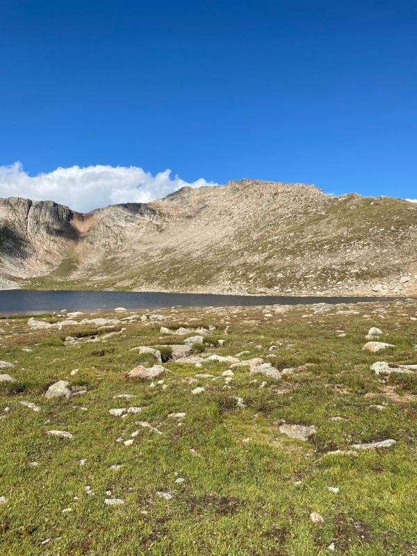
Summit Lake
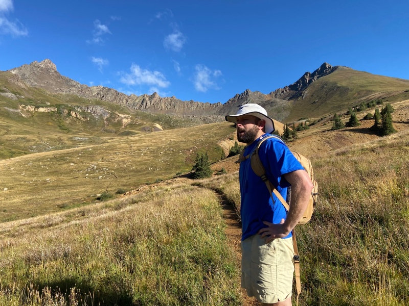
The hike started around 12,800ft at the Summit Lake parking lot. I originally planned to take the Chicago Lakes Trail, but upon seeing hikers headed up Mt. Spalding, I decided to head that way as well.
Halfway up Spalding
I made the Mt. Evans summit in about 2.5 hours. Thankfully the altitude wasn't too much of an issue.
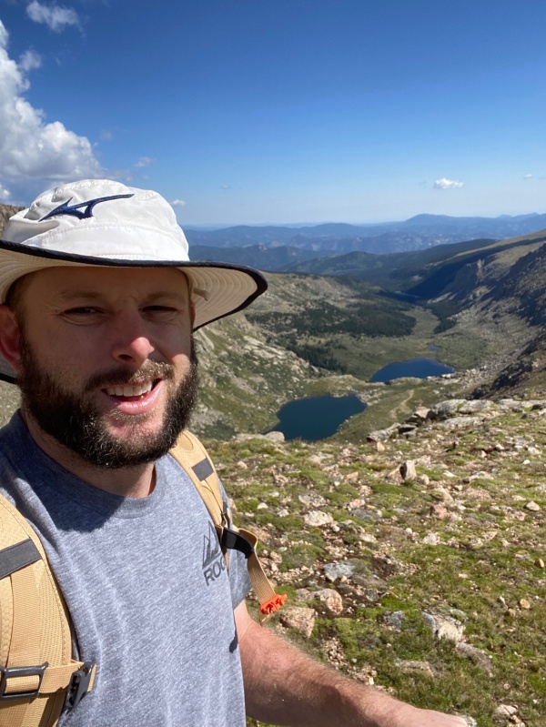
View of Mt. Evans from the saddleSomebody left this awesome sign for me!
After descending to Summit Lake, I headed back to Denver to meet up with Dexter. We were bound for the San Juans as soon as he got off work.
We headed out through Conifer and Grant. Stopped in Fairplay for some gas station pizza (7.5/10, would recommend). We piled back in and continued down past Salida. Dexter planned for us to stop in Creede and hit San Luis Peak before continuing to our slightly more permanent camp in Lake City.
San Luis Peak via Willow Creek TH (South Approach)
We arrived at the "trailhead" at about 11:30pm. I use quotations, because we were probably 2 miles from the actual trailhead. We were in a rental Cherokee, which served us well all week, but we weren't confident in making it all the way to the Willow Creek TH.
We planned on getting started about 3am, to beat any afternoon weather. Seeing as we had such a short time to sleep, Dexter decided to lay his sleeping bag out on the ground and cover up with a tarp. I elected to just lay the seat back and sleep in the car. Big mistake...
A combination of excitement and discomfort had me tossing and turning for about an hour and a half. I tried every feasible position. Feet on dash, head on dash, feet on steering wheel, fetal.... the list goes on. At about 1:30, I capitulated, and I got out my WW2 book. Total sleep count: zero minutes.
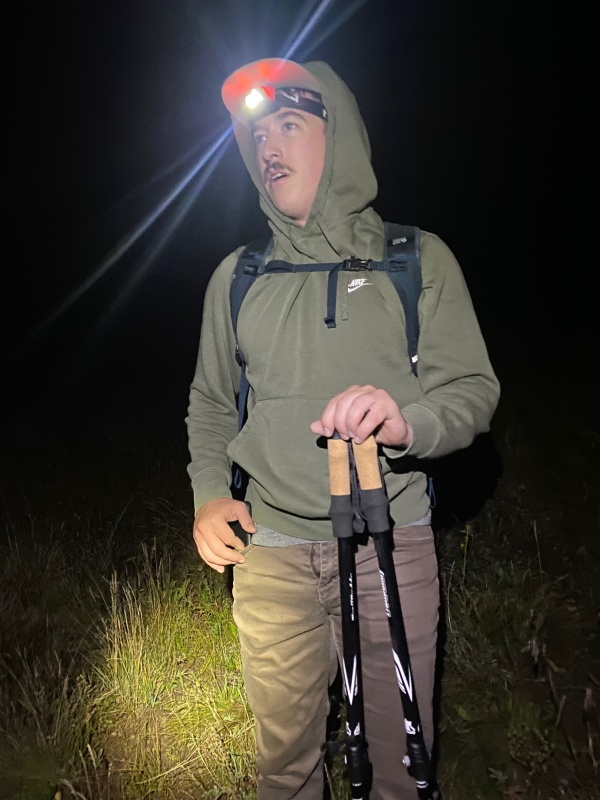
3am came fast. I woke Dexter up (who seemed to be quite comfortable) and we hit the trail with headlamps ablaze.
Dexter after his restful sleep.
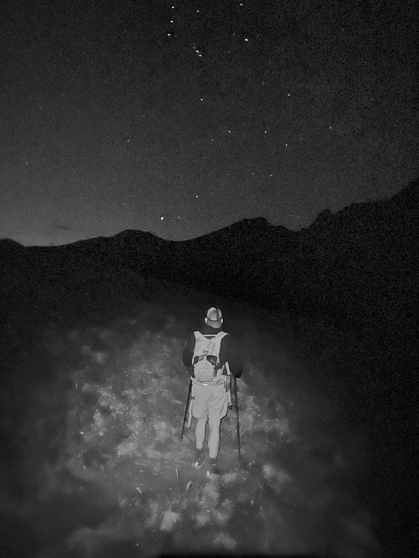
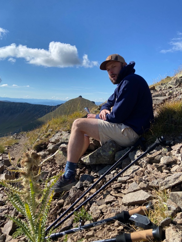
We continued up the fairly agreeable access road and made several beautiful creek crossings. We arrived at the Willow Creek TH in short order, and ran into a couple of young women who turned out to be much faster hikers than the two of us. The trail immediately steepened as we trudged straight up a hillside. The terrain gave way a bit, as we neared the top of a ridge. The time was about 5am, elevation around 12,750. We decided to sit down and have some breakfast with our headlamps turned off. Stars were everywhere. We even saw several of what we determined were satellites (or UFOs?).
Dexter managed to take a picture with stars in it... didn't think that was possible.
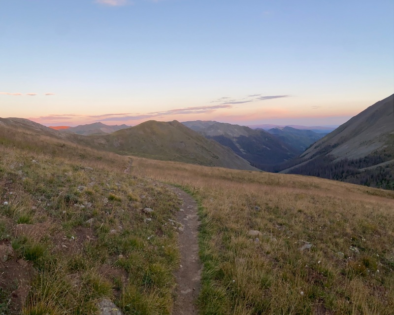
Soon after taking the ridge, we gave back what seemed like all of the elevation we had just gained. We switchbacked down the opposite side and went into a stand of evergreen trees. We saw several tents set up in this area, which belonged to Colorado Trail thru hikers. We came out the other side of the trees and began to fly on a super easy section of trail that sort of looped around the gulch we found ourselves in. As the trail steepened once again, the sun began to peak over the eastern ridge and ultimately our target for the day.
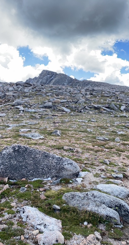
Not sure what I'm looking at here to be honest, but it looks nice.
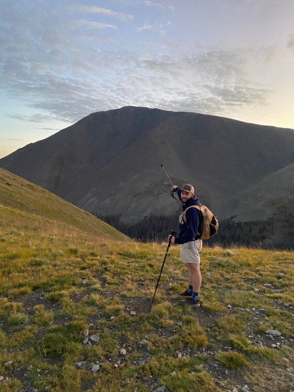
As usual when pulling an all nighter, the rising sun seemed to drain my energy almost as if I were a vampire. But ahead we marched. San Luis wouldn't hike itself. We took another small ridge, and this time didn't give back nearly as much elevation as the last ridge. By then our goal was clearly in view.
Asking for a ride
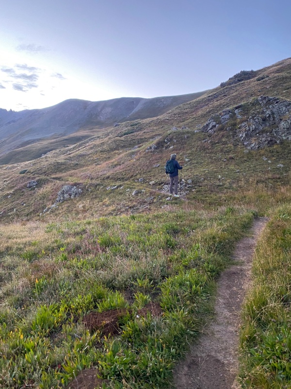
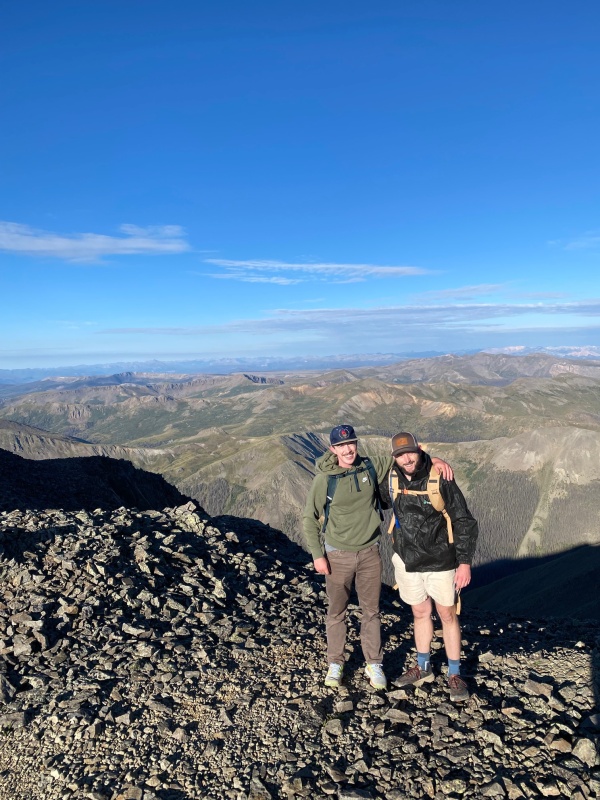
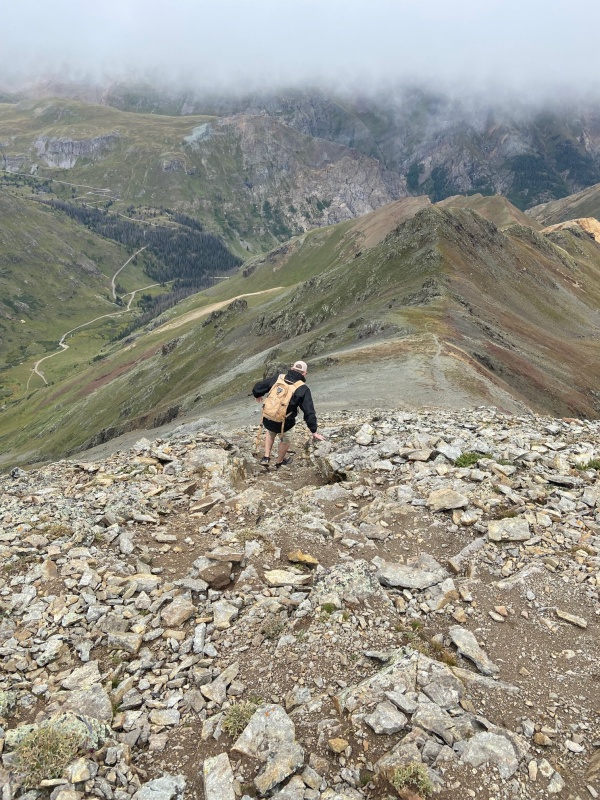
We looped around yet another gulch/valley type thing, and made the final ridge (about 13,000ft) around 7:30am. Then we began to really push. The false summit was definitely the hardest part of the route, but once gained, the summit came easy.
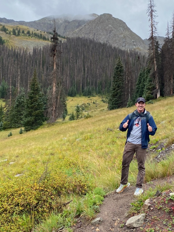
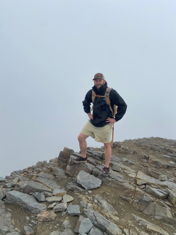
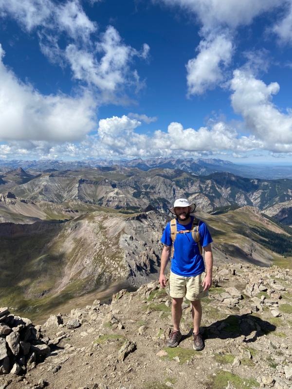
Dexter in a section that looked like Scotland.Summit boys
The trek down started easy enough. We stopped on the false summit for snacks, and the wear and tear of the all nighter began to show up on me.
Basically a zombie w a Cliff bar.
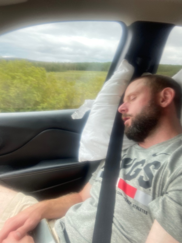
We remembered all the elevation we lost on the hike in when we had to climb back out. By this time I was about ready to be off the mountain. We made it back to the car about 12pm and headed into Creede for lunch. All in all we hiked 16 miles. It was a long day for the home team. We headed out of Creede bound for Lake City after lunch. I declared "There's no way I can sleep in this car- I tried every way last night." Famous last words.
Suddenly the Cherokee got really comfortable
We arrived in Lake City around 3pm I guess? Made camp at Wupperman Campground (great, beautiful), found some awesome Southern food at Lake City Cafe (we ate there all three nights!), and I rinsed off in the very cold Lake San Cristobal. We retired early, naturally, as we had plans for Handies in the morning.
Handies Peak via Silver Creek/Grizzly Gulch TH
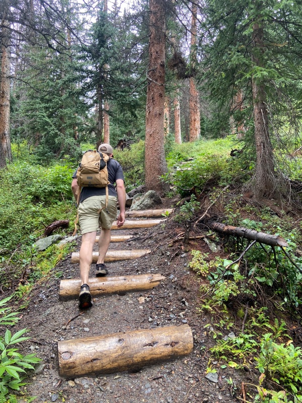
We may have gotten a little heavy handed with the snooze button after our long day on San Luis. We got to the trailhead at 9am. It was a foggy morning, but the weather looked mostly agreeable. We hit the trail and headed straight up some log steps through a forest. I felt like a new man after a solid night of rest, and I was excited to see what the San Juans had in store for us.
Handies started with a bang
We were in and out of the woods on what is probably to date my favorite trail I've ever hiked. We broke the tree line into a beautiful meadow and continued up the gentle trail toward our destination
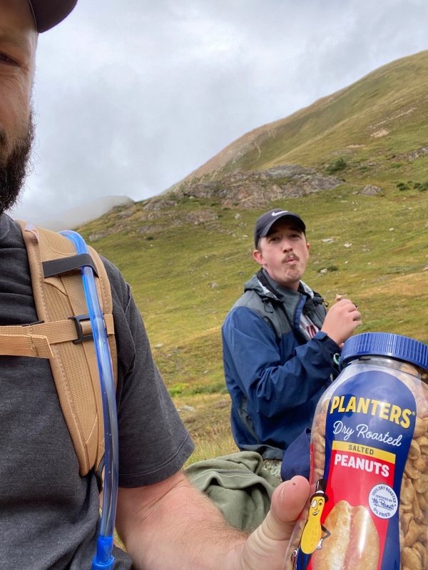
Breakfast of championsDexter in action mode
The views headed up Handies were simply gorgeous. The trail steepened as we approached the objective, and our pace slowed a bit. We switchbacked up the ridge and headed for the summit.
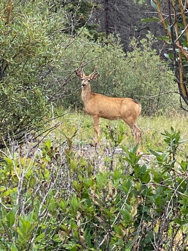
Fairly easy, long switchbacksViews looking over the ridgeFoggy summitDescentSaw some deer!
We made it back down by 2pm and decided it was possibly our favorite 14er to date. Easy, quick, and views for days. 8 mile RT. We headed back to Lake City and spent some time in town drinking coffee and buying souvenirs for our significant others. We ate yet another hearty dinner at Lake City Cafe. Being a southerner, I was curious where the owner was from, because it was definitely some authentic southern cooking. Turns out he is from Lake Charles, LA. So naturally we tried the gumbo.
Back at camp, I took another quick rinse in the lake (Dexter opted for dirty over cold). We turned in early, as Wetterhorn was in the plans for the morning. The forecast called for excellent weather.
Wetterhorn Peak via Matterhorn Creek TH
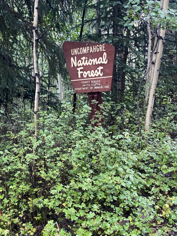
We headed down the road for Matterhorn Creek Trailhead in the dark. The road was rough, but manageable. When we got to Capitol City (2wd trailhead) we parked and decided to hoof it up the road. Upon seeing the road a little closer, we figured we could have made it to the lower 4wd trailhead, but out of caution (rental car), I still think we made the right call. We entered the Uncompahgre National Forest and in no time we were at the trailhead in earnest.
Special place!
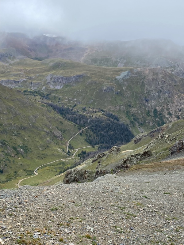
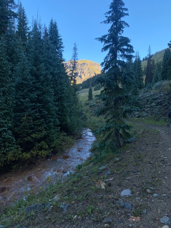
The trail was in great shape and the views were amazing as we came into a valley alongside a creek. We worked our way up a hill and Uncompahgre came into view.
Nice trailIn the valley
We saw a sign at the trailhead warning hikers about encountering livestock protection dogs. I was hoping to see some sheep, as I used to raise katahdins. I couldn't help but think how difficult shepherding in that area would be... unfortunately no sheep were to be found. We crossed the creek and proceeded into a boulder field. We switchbacked though the boulders, which proved to be the most difficult section of the hike. Marmots were everywhere... more on that later.
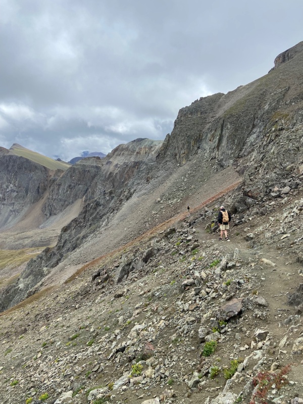
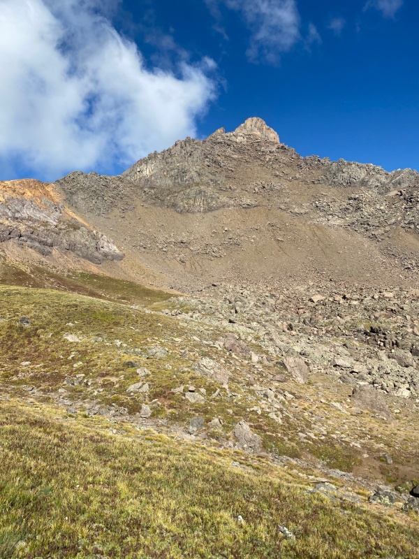
Wetterhorn from the boulder field
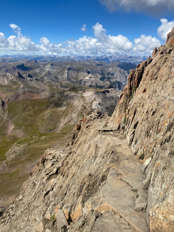
We reached the ridge and the views opened up. We trudged up the yellow dirt section (difficult), and stowed our hiking poles to begin the scramble toward the prow.
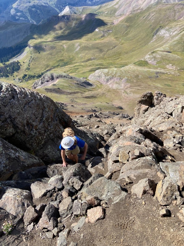
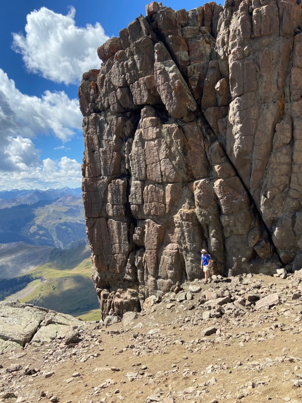
Super fun scrambleThe prow is way bigger than I thought!
After the prow, the terrain got steeper as we moved into the final sections of the hike. The final pitch from the second ledge would have definitely been a bit easier if we had walked around the ledge and taken the route from the southwest side of the peak. We chose to scramble straight up. It wasn't bad, but definitely a bit more risky. We descended on the southwest side.
Looking back, it is better to walk around past this cairn.But... we made it anyway!
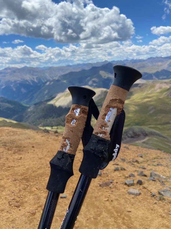
On the descent, we found that the grips our hiking poles had been shredded by marmots! I guess they like the salt/sweat? Anyway, we wrapped them in athletic tape and Dexter carried a bit of a grudge with him on the way down.
Betrayed in the eleventh hour.
Upon returning to Lake City we packed up camp and bought a shower at the Elkhorn RV Resort (great folks). We ate Lake City Cafe once more, and headed out. We decided to spend our final hiking day closer to Denver, so we could get back a little earlier on Sunday evening. We agreed on Shavano/Tabegauche and planned to camp on BLM land near the trailhead.
Shavano/Tabegauche East Slopes Route
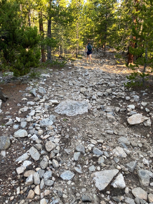
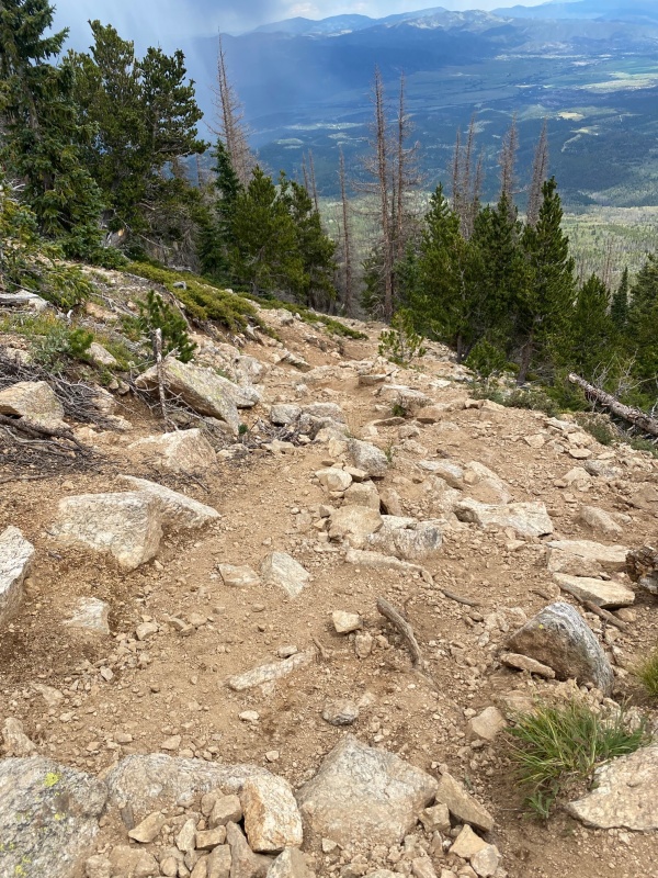
We arrived at our camping spot about 10pm and quickly set up camp. I took the time to set up my tent. I may never sleep in a car again! We woke up later than we should have (6:30am) and headed up the trail. We weren't too concerned about the weather because the forecast called for clear skies. Well there is another lesson in there for sure. The trail was rocky 100% of the way to the peak. Pretty brutal trail. What wasn't completely covered in rocks was loose and sandy.
Rock festival
So at this point, we are pretty beat up. So maybe that played into my perception of this trail. Take that as you will.
Dexter really says alot with this expression
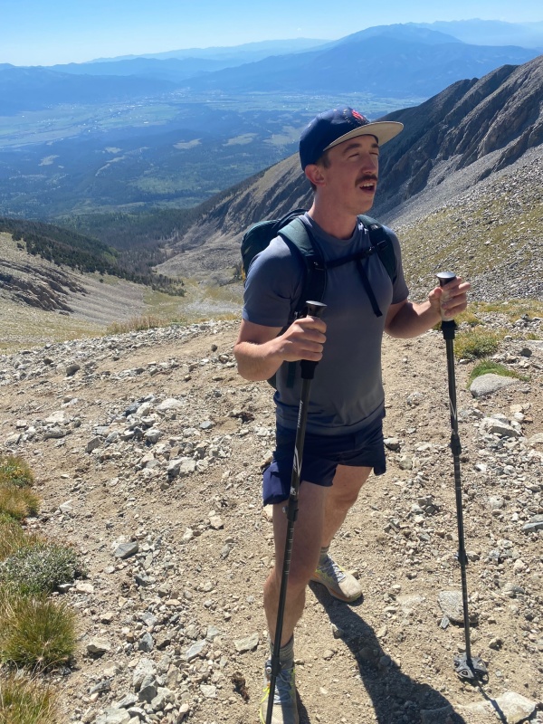
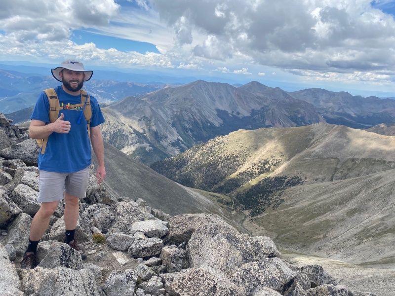
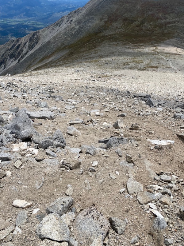
We hit the ridge finally, and proceeded up the steep, cairn-less, trail-less, sandbox of a mountain. Just a ton of work. I decided to use it as an exercise in mental toughness and maintaining a positive attitude, and let me tell you, an exercise it was. Maybe we were spoiled from the views in the San Juans, but the upper part of this trail was just so-so in the beauty department. And that's hard to do in Colorado. I made the summit, and we decided to go ahead and grab Tabegauche, because neither of us ever wanted to see this trail again. We scrambled across the ridge, dropped maybe 800ft in elevation, when the clouds started rolling in. We talked about it, and I decided to head back. Dexter is a faster hiker than me, and he figured he could grab Tabegauche and get back down before the weather got hairy. I went too low on my trek back, and ended up just climbing back up to the ridgeline. I stopped on Shavano for a summit pic (thanks, Mr. Stranger) and started down the slip and slide.
Smile through the hurtGrossMore loose, rocky terrain
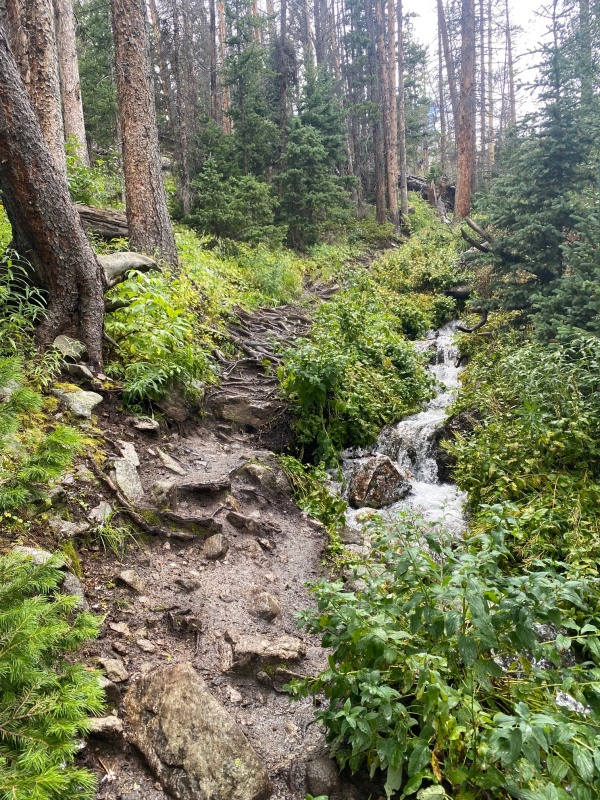
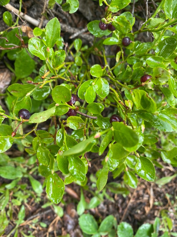
I know the Colorado 14ers initiative is working on this trail. I am very thankful for what they do! But, until it is improved, I would not recommend making this hike unless you have 56 14ers and need the last two. I tried to see the positive and enjoyed the woods on the way out.
Pretty streamBlueberries
Soon after I hit the tree line, thunder started to roll. I wondered how far along Dexter was. Then the hail started! I got under a small tree and enjoyed the sight of it.
Lots of little hail
Turns out Dexter was basically right behind me already back in the tree line (much faster hiker). So by the time I got back to the trailhead he was only five minutes behind. We loaded up camp (which had been taken over by a herd of cattle) and put the hammer down toward Denver.
Such a fun trip! I so much enjoy Colorado and I plan to visit as often as possible throughout the remainder of my life. Thank you to my friend Dexter, Colorado 14ers Initiative, 14ers.com, and everyone else who make it possible to recreate in such special environments.
Thumbnails for uploaded photos (click to open slideshow):
It's quite difficult to come from low elevation and tackle some 14'ers! Looks like you had some good weather, am jealous as I was out there the week before and had rain/hail every day I hiked. Keep me in mind if you head out next year.
especially coming ftom a much lower elevation.
fwiw, when you return to hike Tabegauche, i recommend the Jennings creek approach for the west ridge route.
it avoids the rock festival of the shavano trail.
it is a much less used approach toTabegauche, so there are no crowds. when i went that way in 2021, i saw no one, the night before at camp, and not a single person the entire next day on the hike. For a 14er this is rare.
it is also a beautiful route.
Yeah, I'm lucky I "bagged" Tab that day as well. That was in 2019 but just as many rocks then! Yeah I don't have to do it again, ever. There's something about this peak... my least favorite 14er maybe on par with Belford. I think my feet remember every single boulder on that trail all the way down to the parking lot. I had half a cantaloupe in the car and I think it ate it all before I could move my butt off the shade and get in the car! That I'll tell you, was the most memorable moment of that hike. Like you I was back from a terrific adventure in San Juans (no 14er climbed there) and I found the bare slopes of Shavano pretty boring.
Caution: The information contained in this report may not be accurate and should not be the only resource used in preparation for your climb. Failure to have the necessary experience, physical conditioning, supplies or equipment can result in injury or death. 14ers.com and the author(s) of this report provide no warranties, either express or implied, that the information provided is accurate or reliable. By using the information provided, you agree to indemnify and hold harmless 14ers.com and the report author(s) with respect to any claims and demands against them, including any attorney fees and expenses. Please read the 14ers.com Safety and Disclaimer pages for more information.
Please respect private property: 14ers.com supports the rights of private landowners to determine how and by whom their land will be used. In Colorado, it is your responsibility to determine if land is private and to obtain the appropriate permission before entering the property.


")
")
")
")
")
")
")
")
")
")
")
")
")
")
")
")
")
")
")
")
")
")
")
")
")
")
")
")
")
")
")
")
")
")
")
")
")
")
")


