| Report Type | Full |
| Peak(s) |
"Pear Peak" - 13,459 feet Unnamed 13513 - 13,513 feet Unnamed 13486 - 13,486 feet |
| Date Posted | 08/27/2022 |
| Date Climbed | 08/18/2022 |
| Author | Mtnman200 |
| Additional Members | RandyMack |
| Leave It To Beaver |
|---|
|
Thursday, August 18, 2022. "Look, Wally, if your dumb brother's gonna tag along to the movies with us, I'm gonna... Oh, hello, Mrs. Cleaver. My, that's a lovely dress. I was just telling Wallace how nice it would be for Theodore to accompany us to the theater." Oops, wrong Beaver. But The Beaver's at it again. 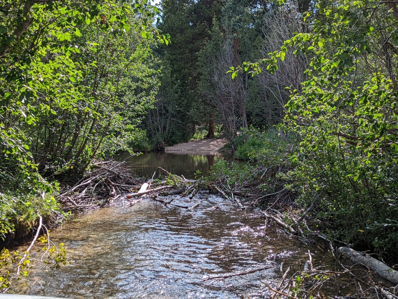
Randy and I had just finished a successful climbing trip to Clohesy Lake and had driven most of the way back to County Road 390 when we were faced with beaver handiwork in our way. Right in the middle of the road, in fact, and this time I didn't have the patience to dismantle the dam and instead simply drove right through/over the roadblock. This was not our debut encounter with The Beaver. Two days earlier... Tuesday, August 16, 2022. We were driving FR 381 to Clohesy Lake with plans to climb "Pear Peak" (13,462'), Unnamed (UN) 13517A (LIDAR: 13,513'), and UN 13472B (LIDAR: 13,486'). LIDAR promoted the latter peak from a soft-ranked summit to a separate summit, which made it one of Colorado's new tricentennial (300 highest) peaks. On 9/22/2016, I'd done a solo climb of Pear Peak and UN 13517A (LIDAR: 13,513'), but UN 13472B (LIDAR: 13,486') would be new for both Randy and me. I didn't find a trip report that combined these three summits in a single ridge run, so we hope to provide some useful beta on how to include UN 13472B (LIDAR: 13,486') with the least amount of elevation loss/gain possible. 
We didn't get far up FR 381 before a beaver dam blocked the road, with the water fairly deep as a result. After spending over 30 minutes removing the dam material and getting my right shoe wet in the process, the water level was low enough that we felt confident in driving over the remains of the dam. What we didn't realize at the time was that an aspen branch from the beaver dam had gotten stuck in our front suspension like a medieval knight carrying a jousting lance. 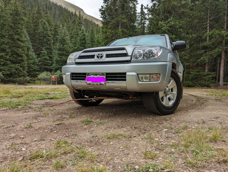
We enjoyed plenty of late afternoon and evening rain and, given tomorrow's poor weather forecast, decided to postpone our climbing day until Thursday. We entertained ourselves on Wednesday by building a campfire in the rain from soaking wet wood and then keeping the fire going until dinnertime. Thursday, August 18, 2022. Skies were clear when we got up, and we were convinced we'd made the right decision to climb today rather than yesterday. From where the road is closed at 10,900', it's about 1000' to the first of two critical trail intersections. 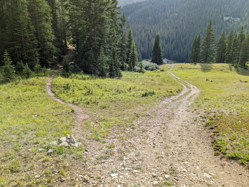
The next critical intersection is where the Missouri Mountain trail (#1459) and the Pear Pass trail (#1461) split. 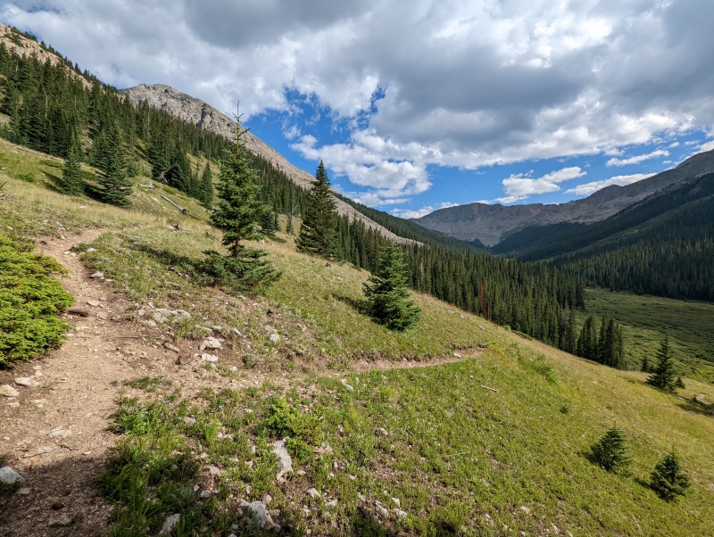
(Note: The previous two photos were taken in the afternoon as we hiked out. Photo credit: all photos by Randy Mack) We left the Pear Pass Trail at about 12,160' (where the trail makes an abrupt curve from SE to NE) and headed south toward Pear Peak's east ridge. 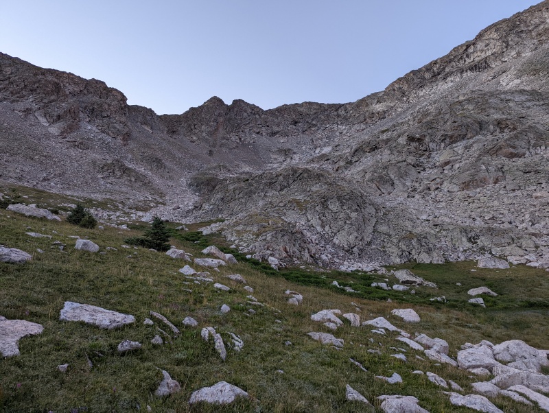


There was no summit register on Pear Peak, so we left one. 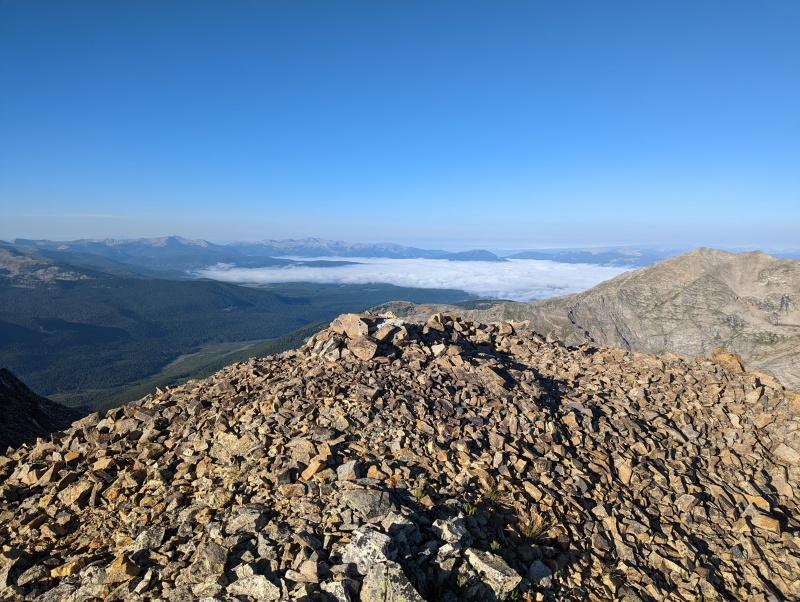
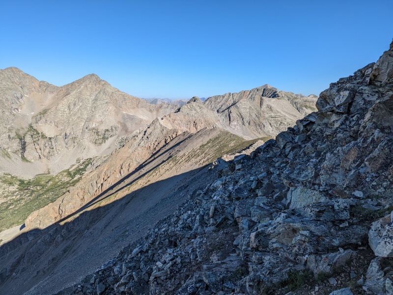
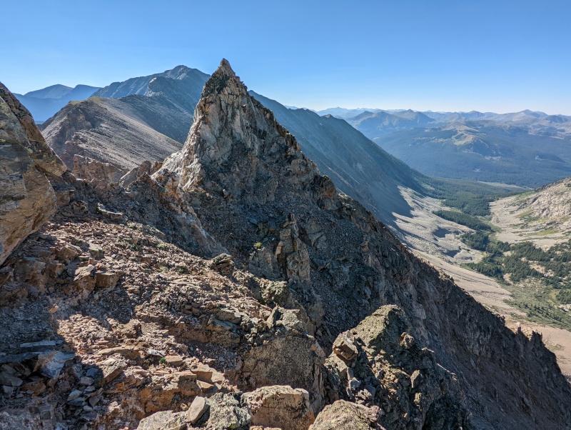
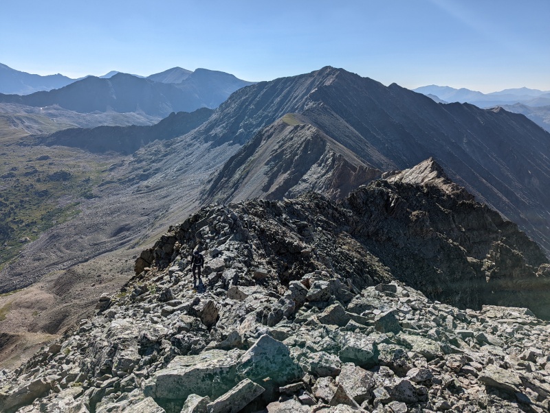
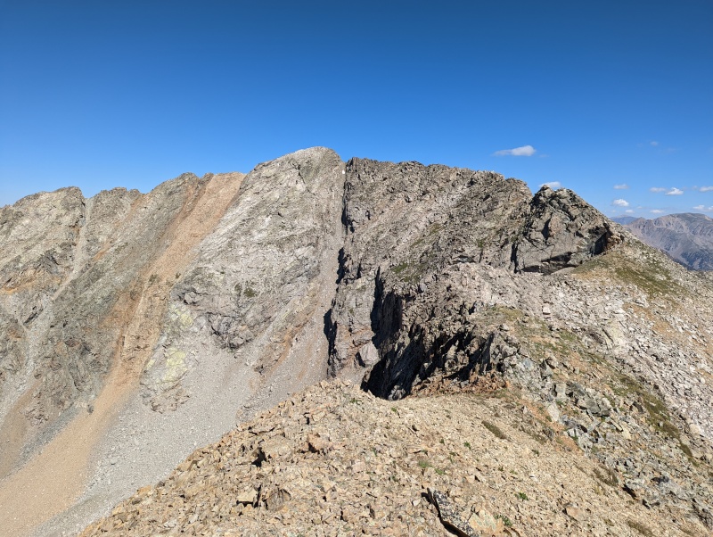
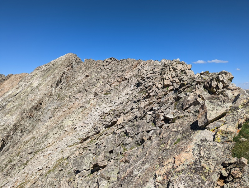
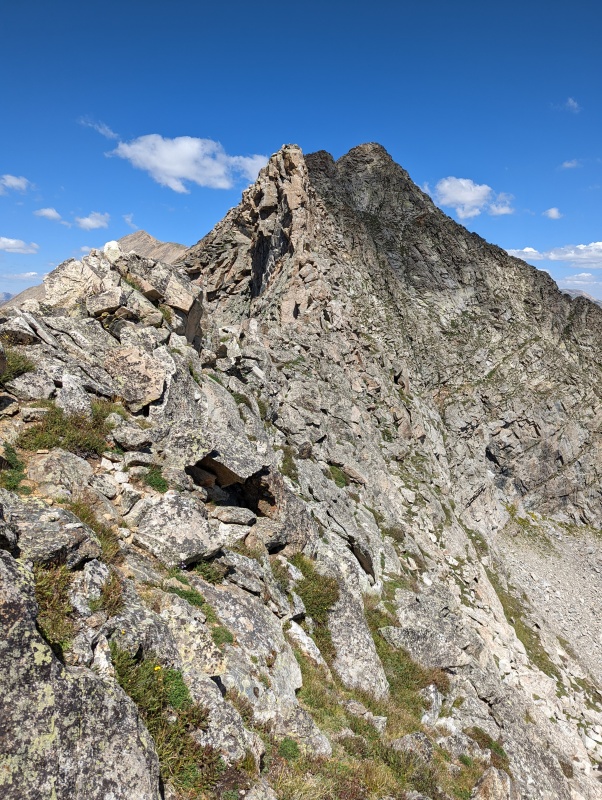
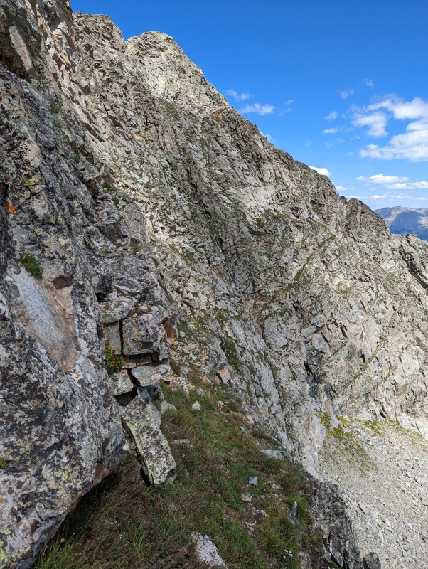
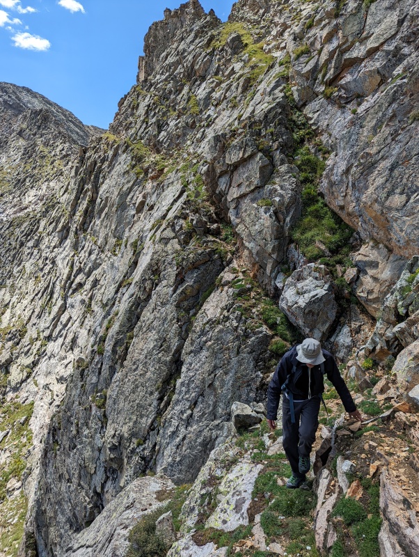
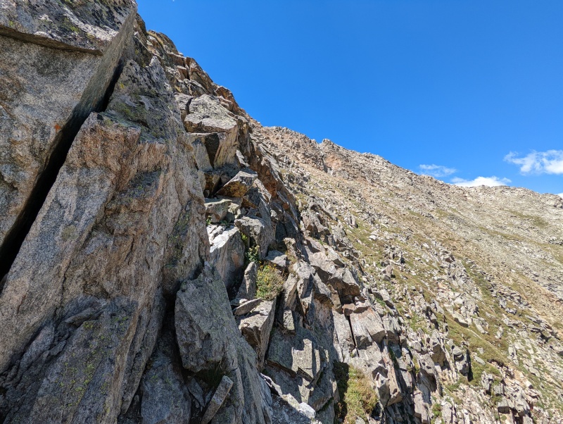
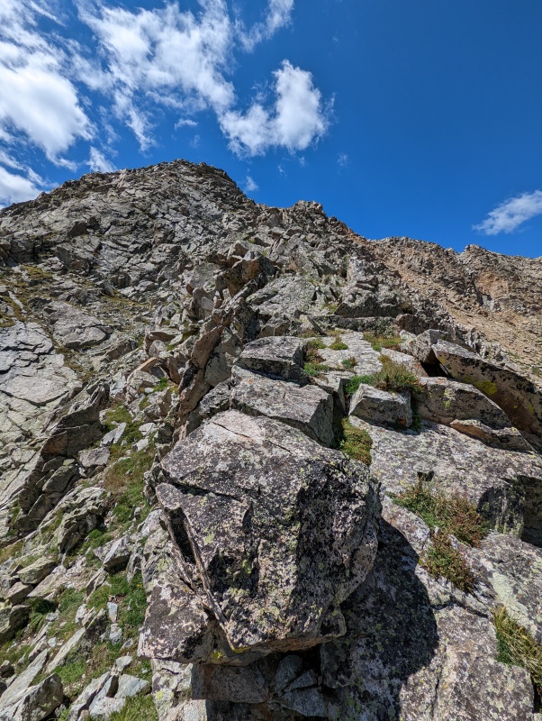
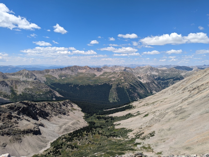
From here to the summit of UN 13517 (LIDAR: 13513), it's best to stay on the ridge as much as possible. 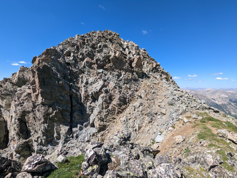
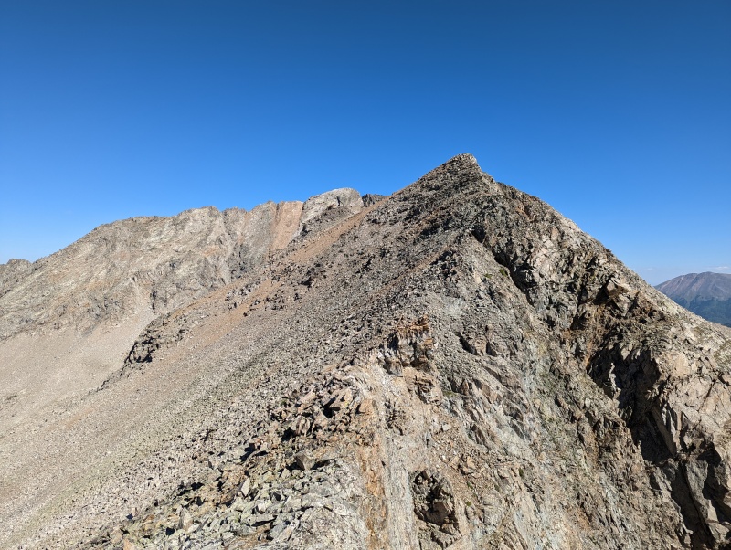
From here, it's just a few minutes to the summit of UN 13517 (LIDAR: 13513). There was no summit register, but there were nice views of the surrounding mountains. 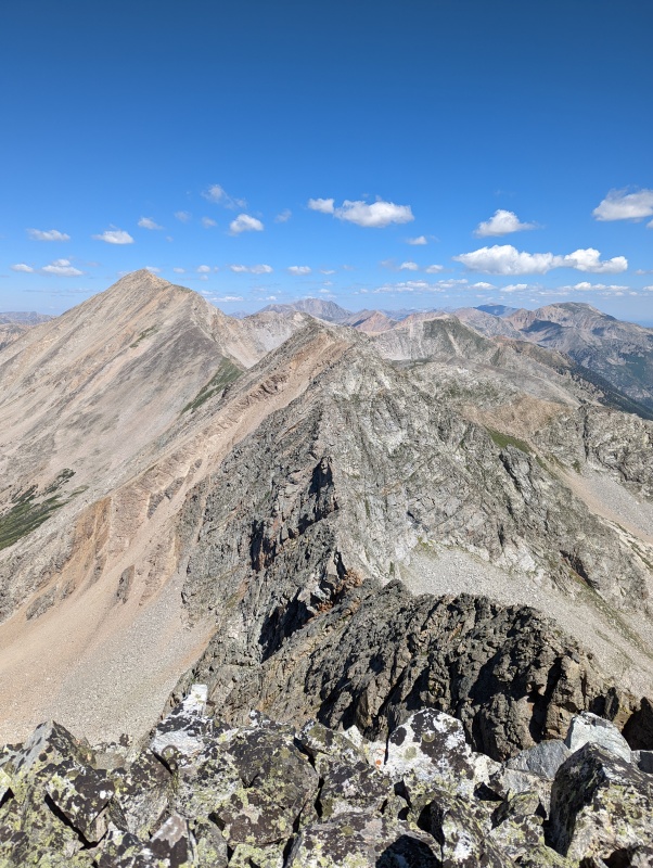
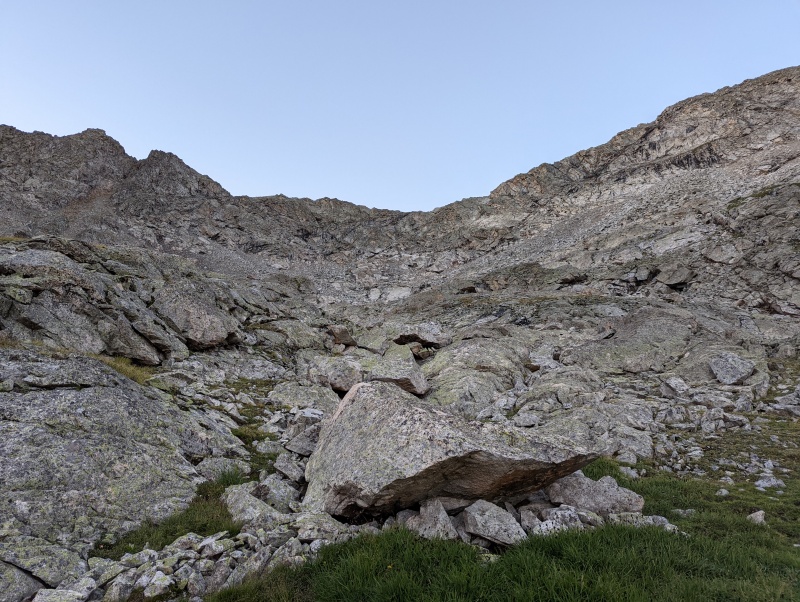
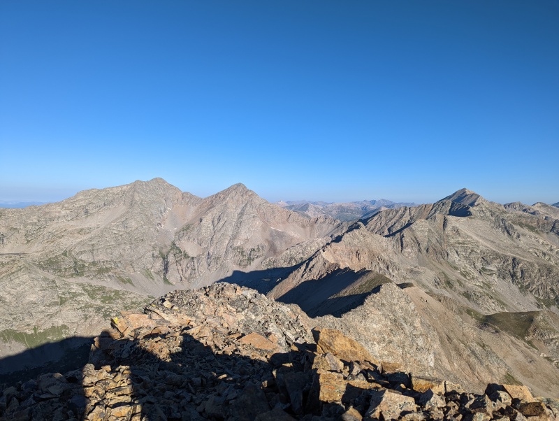
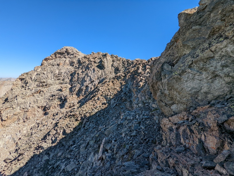
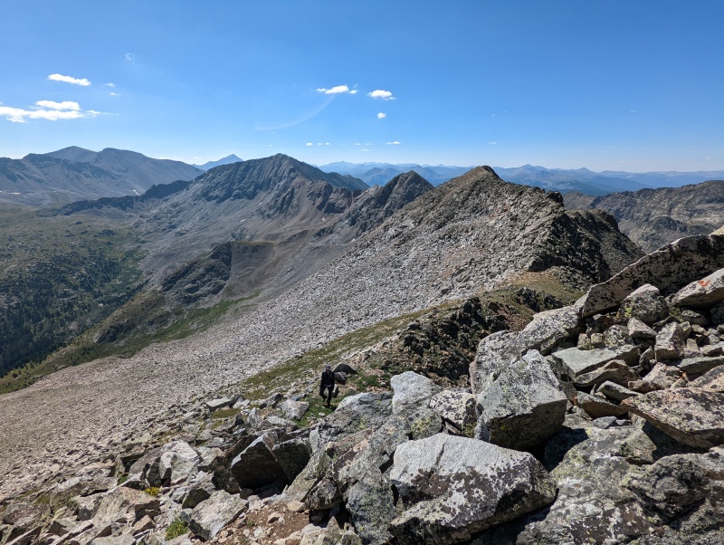
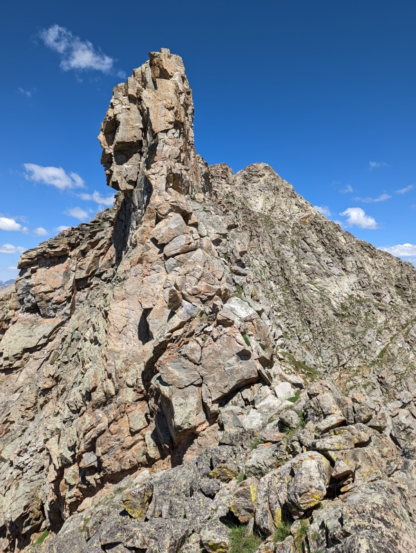
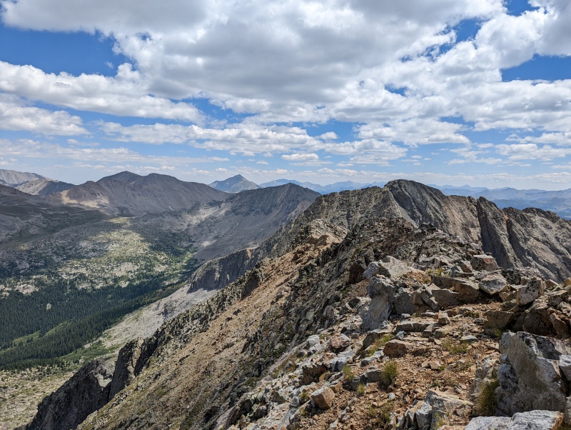
While eating lunch, we observed that the ridge to UN 13472B (LIDAR: 13486) looked rugged. To avoid the ridge difficulties, we knew one could drop 800' in elevation and then contour north at about 12,600' below/past a prominent rib before climbing back to the ridge. However, we didn't really want to regain 800' of elevation and decided we were up for the no-beta challenge of following the ridge to UN 13472B (LIDAR: 13486). The great weather made this decision easier. 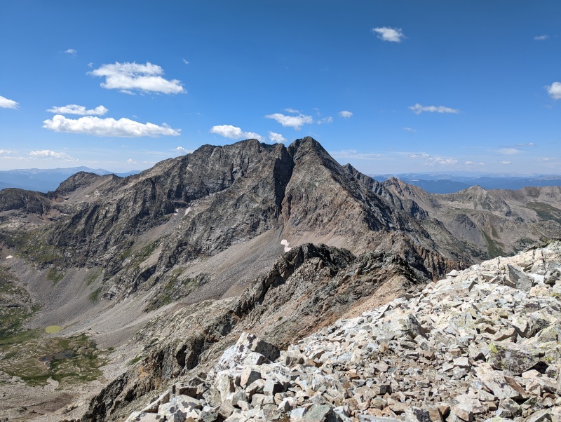
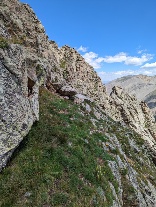
Another option is to turn left and ascend a couloir just before (south of) the rib. Others had clearly done this. 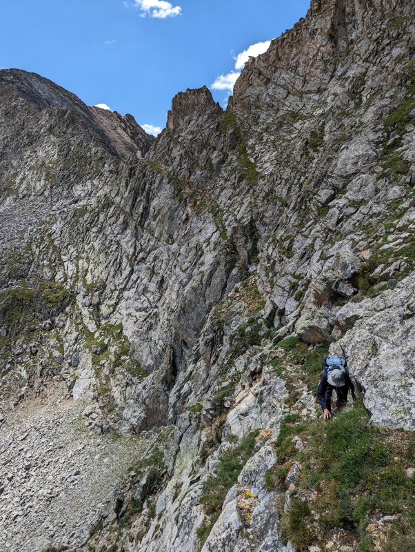

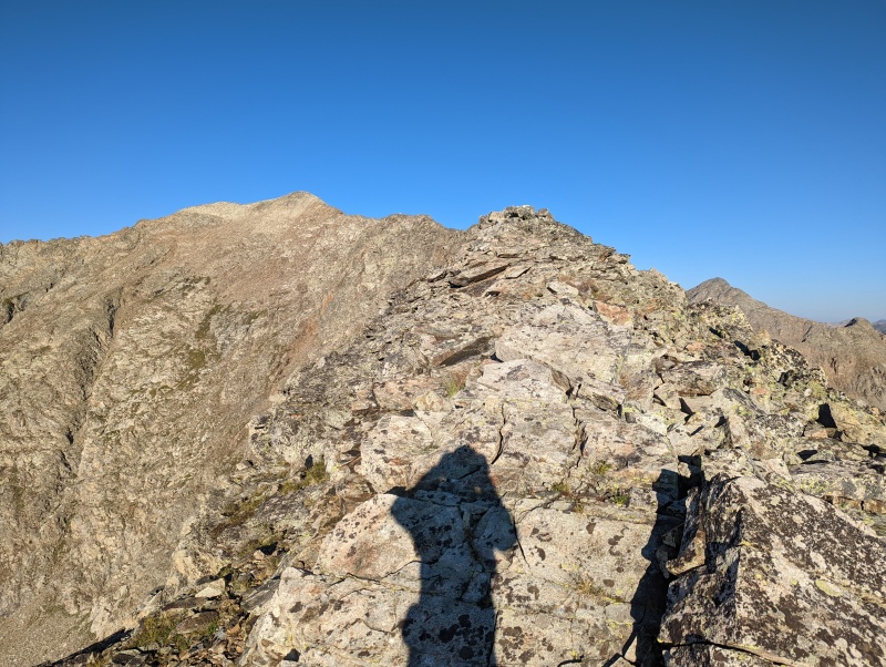
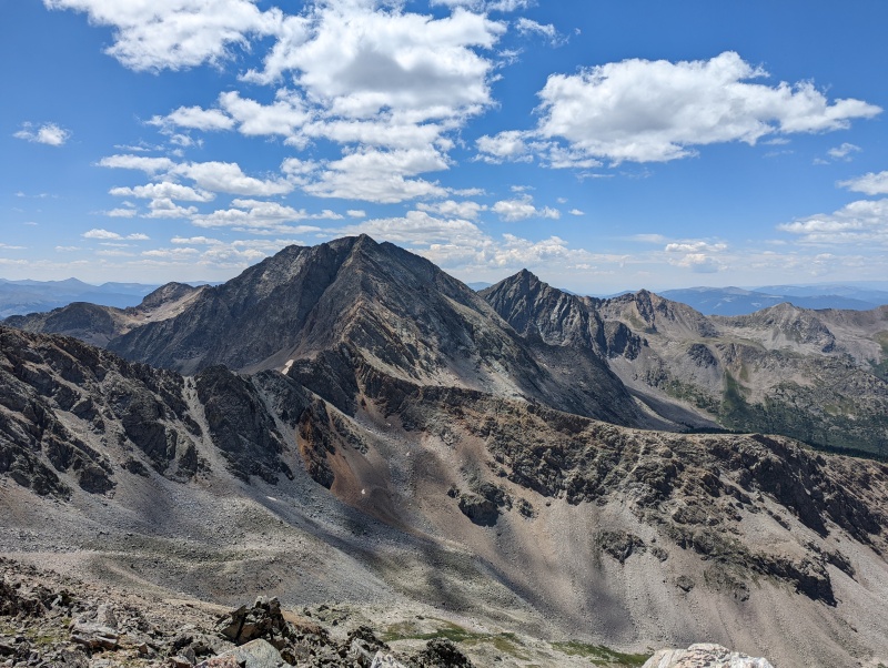
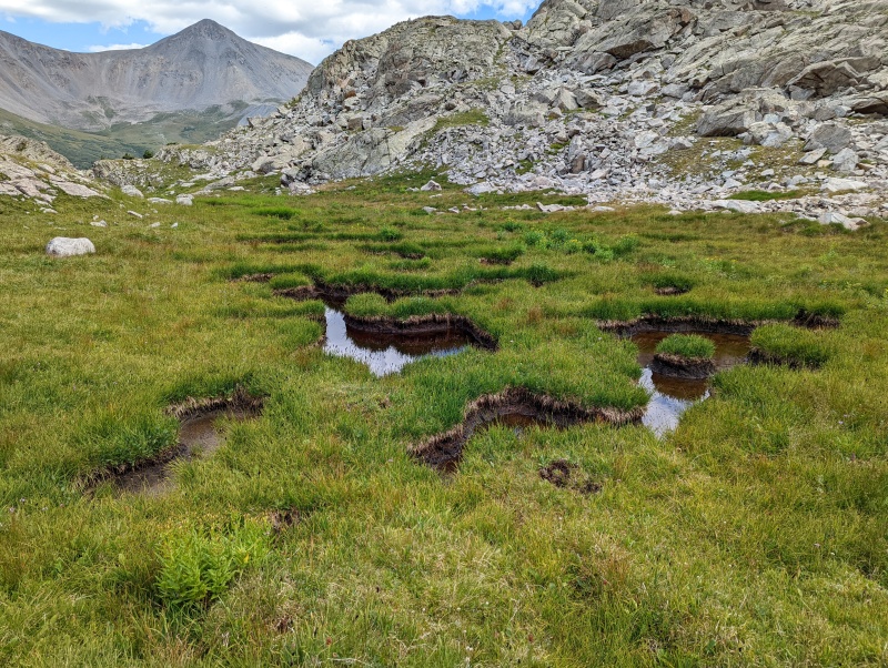
Alyson Kirk had left a register on the summit of UN 13472B (LIDAR: 13486). We took a much-needed and well-deserved break on the summit and enjoyed the views and some snacks to energize us for the descent. 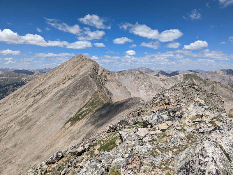

Once we reached the Pear Pass Trail, the hike back to the trailhead went quickly. The only real entertainment after we reached the trailhead was our second encounter with the beaver dam that I described at the start of this report. All in all, it was a fun day and a memorable climb. Thumbnails for uploaded photos (click to open slideshow): ")
")
")
")
")
")
")
")
")
")
")
")
")
")
")
")
")
")
")
")
")
")
")
")
")
")
")
")
")
")
")
")
")
")
")
")
")
")
")
")
|
| Comments or Questions | ||||||
|---|---|---|---|---|---|---|
|
Caution: The information contained in this report may not be accurate and should not be the only resource used in preparation for your climb. Failure to have the necessary experience, physical conditioning, supplies or equipment can result in injury or death. 14ers.com and the author(s) of this report provide no warranties, either express or implied, that the information provided is accurate or reliable. By using the information provided, you agree to indemnify and hold harmless 14ers.com and the report author(s) with respect to any claims and demands against them, including any attorney fees and expenses. Please read the 14ers.com Safety and Disclaimer pages for more information.
Please respect private property: 14ers.com supports the rights of private landowners to determine how and by whom their land will be used. In Colorado, it is your responsibility to determine if land is private and to obtain the appropriate permission before entering the property.


