| Report Type | Full |
| Peak(s) |
Snowmass Mountain - 14,105 feet |
| Date Posted | 08/23/2022 |
| Date Climbed | 08/19/2022 |
| Author | BirdMan |
| Four Pass Loop - Counter Clockwise |
|---|
|
Day Zero: Thursday, August 18th I had wanted to hike the Four Pass Loop outside of Aspen for years and finally everything came together to make it a reality! For the uninitiated, the Four Pass Loop is about a 27 mile route with 7,700' of elevation gain that takes you over four mountain passes all just above 12,400' in arguably one of the prettiest parts of Colorado. We saw trail runners who seemed like they were doing the entire loop in a day. We met folks on the trail who were taking 4 days to complete the loop and that certainly seemed like a good way to go as well but we decided we would cover the loop in three days hiking and two nights camping. That would mean backpacking somewhere in the neighborhood of just under 10 miles and one mountain pass per day with a bonus mountain pass thrown in on another day for good measure. The below is a good non-topo look at the route. People either hike in a clockwise or counter-clockwise direction but as mentioned, we went in a counter-clockwise (CCW) direction leaving from the Maroon Lake area. 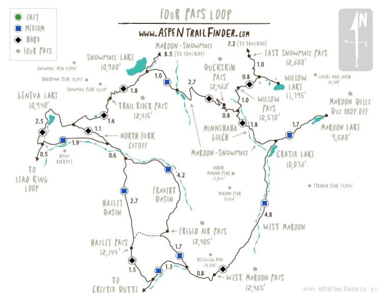
To minimize the number of days off needed from work, the plan was to camp in the Aspen area (Difficult campground) Thursday night, catch a series of shuttles in Aspen to get to Maroon Lake, hike Friday through Sunday and then drive home Sunday afternoon for all of us to be back at work on Monday. Having gathered in the Denver area we took I-70 to Leadville and over Independence Pass to get to our campground for the night. On the way however, we took in some High Mountain Pies in Leadville and were lucky enough to enjoy some live music. 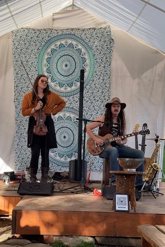
Day One: Friday, August 19th We left our cars in the Buttermilk overnight parking lot, caught our shuttles and were at Maroon Lake on Friday morning at roughly 10 am. Here's the crew looking fit and rested with the glorious Maroon Bells as a backdrop. 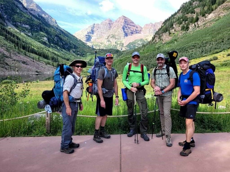
Hiking CCW you head out towards Crater Lake, but turn right just prior to reaching the lake. If you hit Crater Lake you've gone too far. 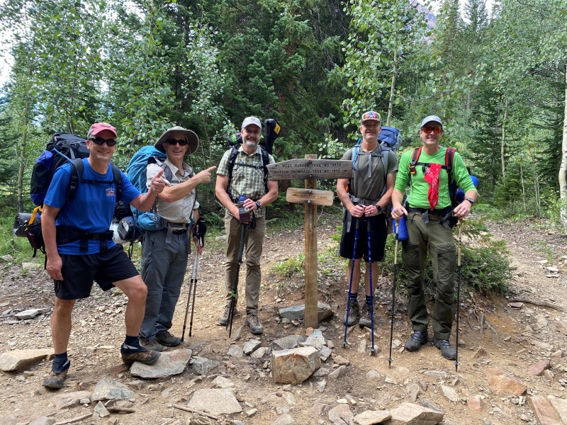
The hike up to this point is the standard day-hike kind of thing, not too steep or challenging. That would change once we started heading up the trail to our first test, Buckskin Pass. We enjoyed some shade initially but soon the trail opened up revealing beautiful vistas but also allowing the sun to beat down on us. 
Those familiar with the area would recognize Pyramid Peak across the way. 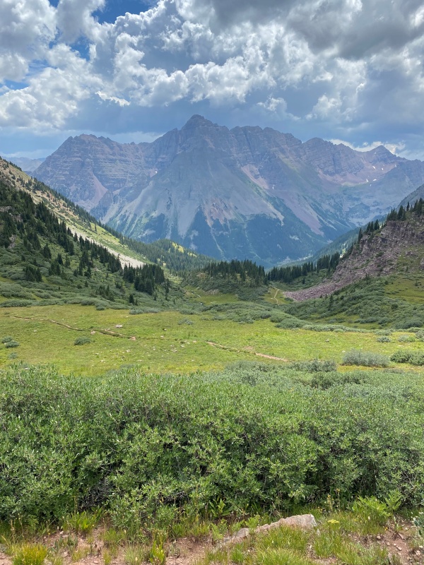
After only a few hours from the outset we reached our first goal, Buckskin Pass (12,462'). We grabbed a brief bite to eat and took in the surrounding mountains - Snowmass Peak, Snowmass Mountain and Capitol Peak. We were planning on spending the first night at Snowmass Lake. Also, our thinking was if we were up for it we might just make an attempt on Snowmass Mountain from Snowmass Lake the following day. Hmmm... tempting! 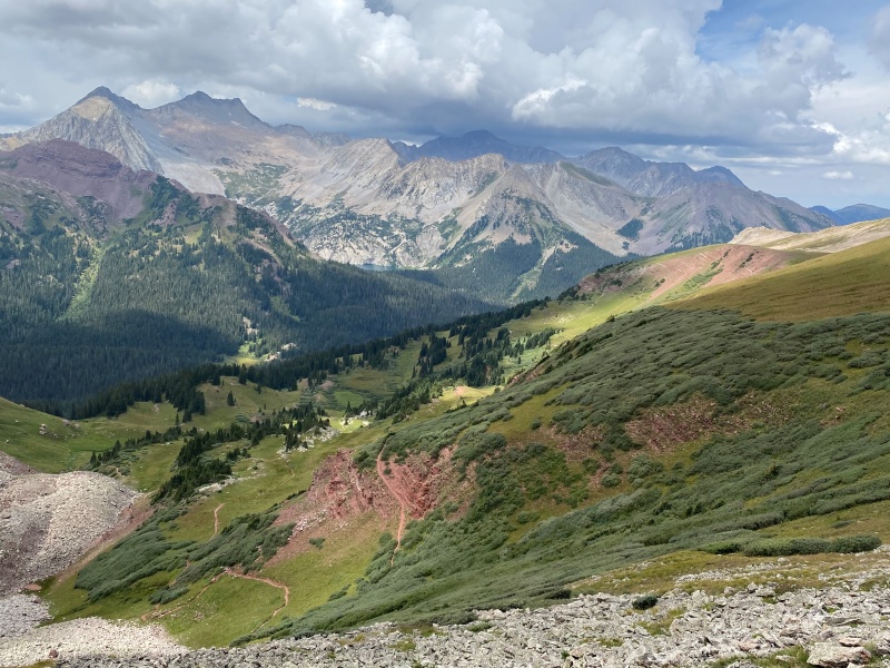
Being used to the bluebird days of Colorado we had to get accustomed to seeing actual clouds in the sky. There were various forecasts for rain throughout the weekend so we decided to get down off of Buckskin Pass and try to get camp set-up before the rain hit. We were semi-lucky in that regard. We did get rained (and hailed) on, on our hike down to Snowmass Lake, however it stopped raining long enough for us to get our tents and campsites set-up. We ended up getting to Snowmass Lake around 4:00 or 4:30 pm or a little over 6 hours from when we left the Maroon Lake TH. One thing that worked out well was we brought a tarp and cord to be able to improvise a shelter to cook, eat and gather under in case it rained. We got a fair amount of rain on Friday night and we were glad to have been able to improvise a shelter and not have to cook and eat in our tiny backpacking tents. We spent a little time after dinner exploring the lake and being slightly amused at all the people packing in at Snowmass Lake - it was like a small city! All in all, it was a wonderful first day but we were tired from hiking over Buckskin Pass. Not super exciting but I think we crawled into our tents around 7:00 pm or so to catch some zzz's. Day Two: Saturday, August 20th Starting on Day 2 we had begun to get our legs under us as it were. It was the one full day we were there, was the day with the best weather and for me was probably the most fun. We had decided the previous night not to go for Snowmass Mountain. Our thinking was we could certainly do it but how much energy would we have after summitting a 14er to then backpack for roughly 8 miles over Trail Rider Pass? Add into the mix the uncertainty of the weather (i.e. would we have to set-up camp in the rain, while exhausted?) and the decision seemed like a sound one. On later reflection we thought Snowmass Mountain would be do-able but only if we had another day to complete the whole circuit. 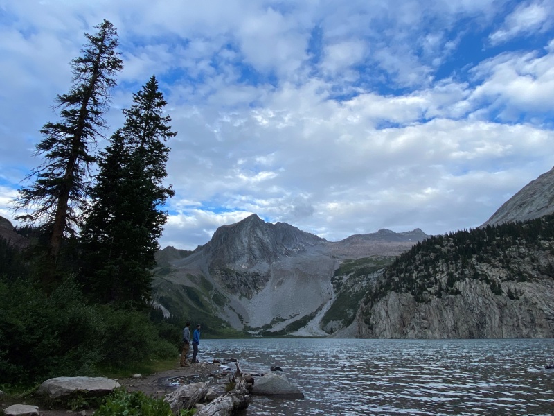
Our prime operations man had us leaving camp at 8-ish sharp! Here he is looking over the map. Every group needs to be kept on task. 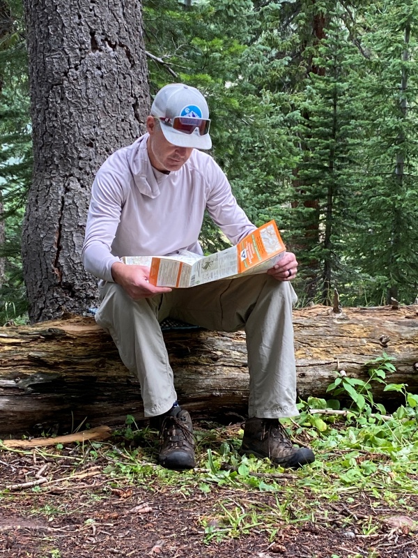
Getting underway our spirits were as high as our surroundings. 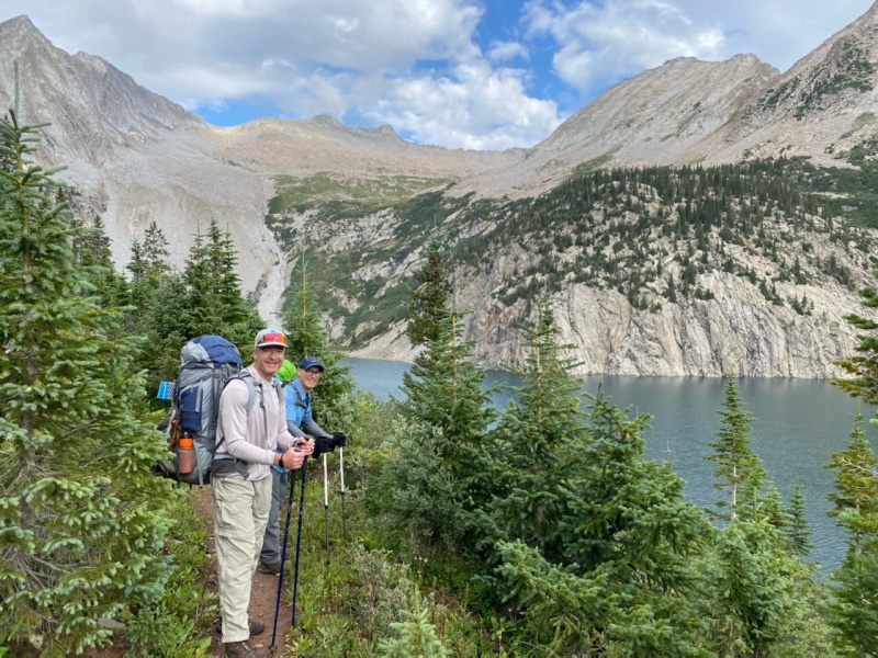

Snowmass Lake, I didn't want to leave you... 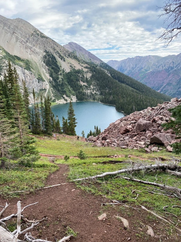
Not long after leaving camp we made a new friend. A sly little devil but he sure was cute. 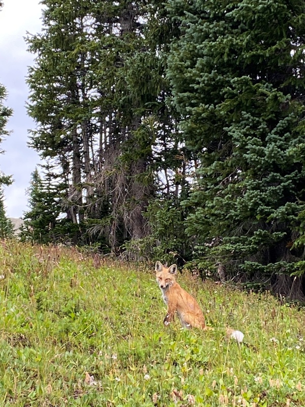
A look at Snowmass Peak that I hadn't seen before. 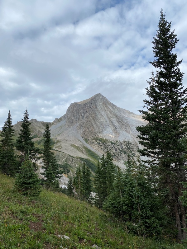
And some local flora. 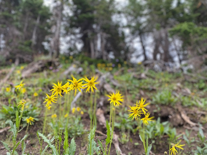
Still we climbed higher and higher towards Trail Rider Pass. 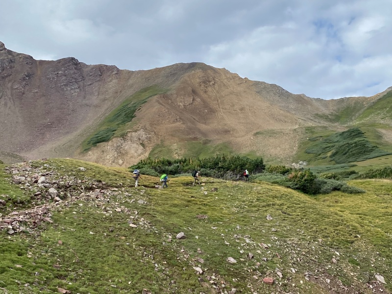
But I couldn't resist that lake... 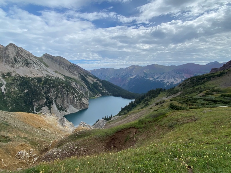
...or pausing for one more portrait mode shot... 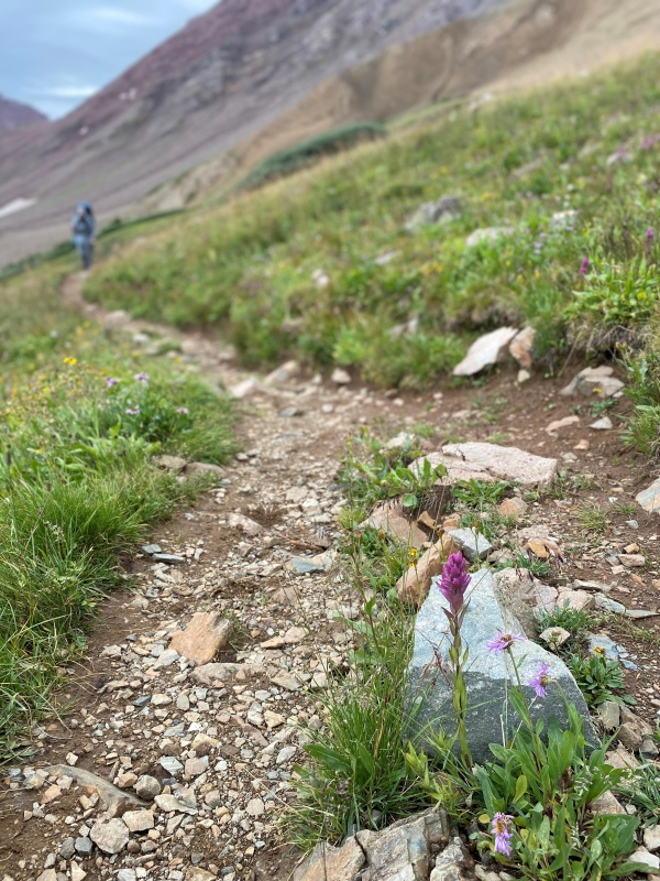
...or that darn lake again... 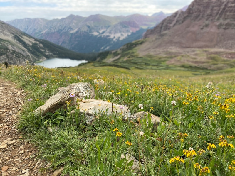
But after continuing to just put one foot in front of the other we came to our second pass, Trail Rider Pass at 12,415'. Time for a rest, a few calories and a moment to just take in the beautiful surroundings. 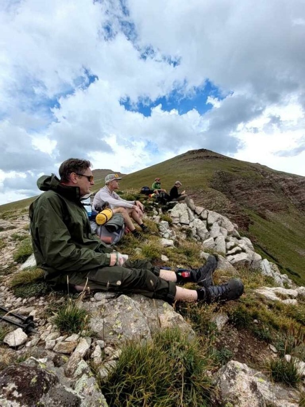
Talk about a bonafide bad @$$?!? Takes one to know one I guess! 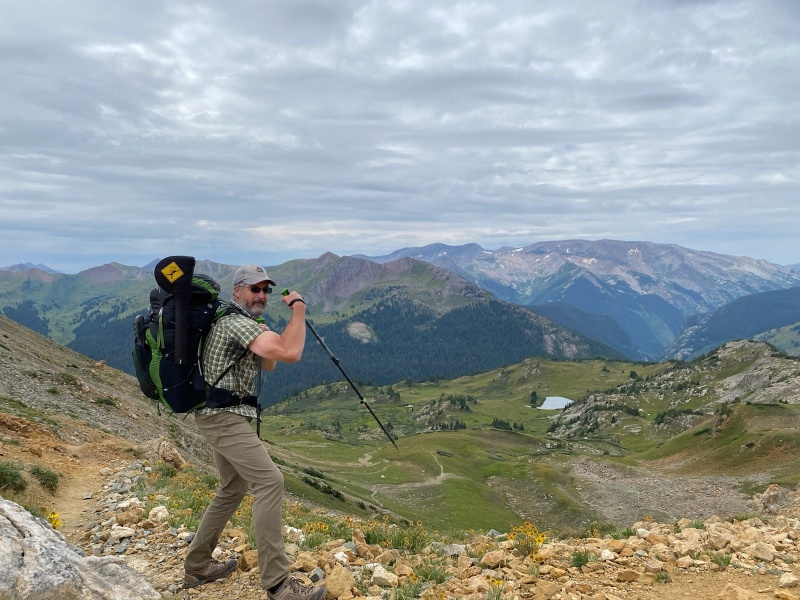
We gathered ourselves and headed down into the beautiful valley. 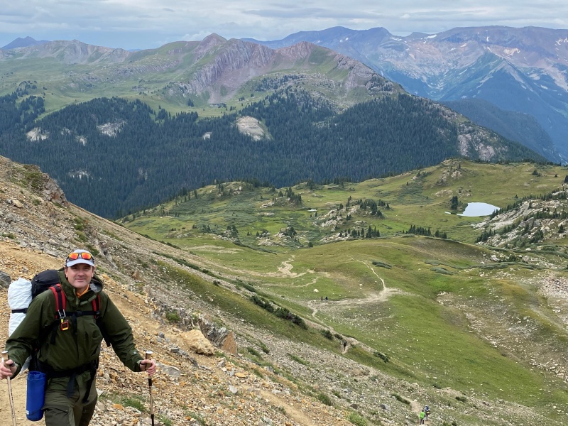
We only had a snack on the ridge so we could gather by the small lake and have a more leisurely lunch. We felt a few drops but were amazed that the weather was continuing to hold. By the way, as a PSA you'll need to bring bear canisters to enter this little slice of heaven. The general consensus was while the canisters could have kept the food from the bears this is such a well populated trail that it seemed unlikely that they'd be needed in that capacity. We found the canisters were much more useful as 2 to 4 pound stools! 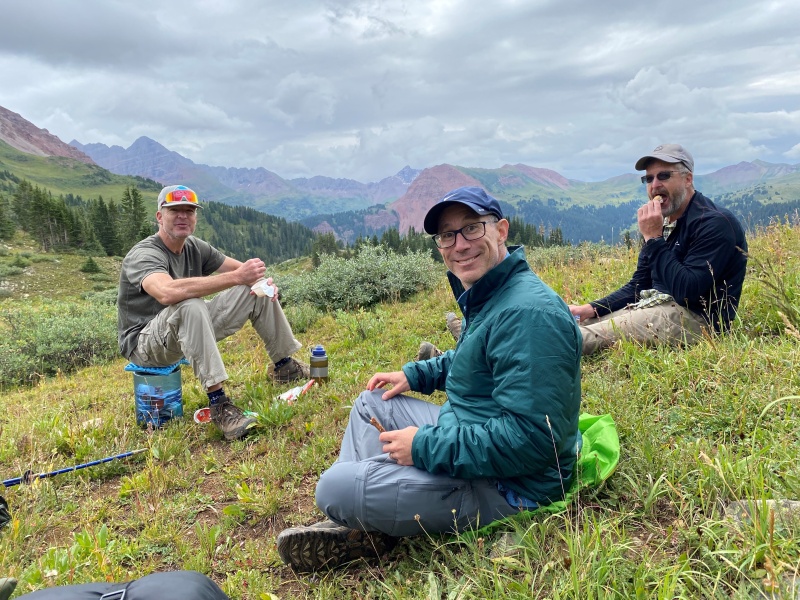
As the day wore on we dropped further and further into the basin for a stunning view up the backside of the Bells. 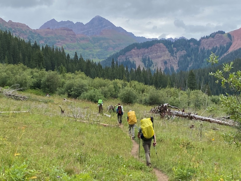
Just a reminder to us all that it's ok to be different! 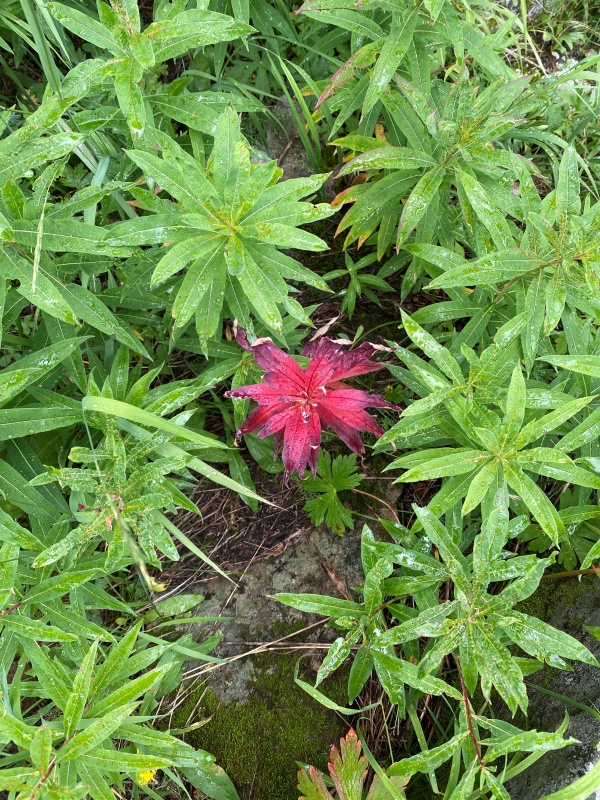
Down in the basin we reached a creek which was an excellent place to stop, have a brief rest and filter more water into (and out of?) our bladders. Some rock hopped over the creek and some simply waded through it. The water was knee-deep even in August and was oh-so brisk. Crossing the creek you come to the turn-off for Hasley Basin but we kept going straight and up into Fravert Basin. After a few waterfalls and streams, we passed some great looking campsites on each side of the trail. Great looking, but alas they were taken. So we continued higher into Fravert Basin. At this point the crew was running low on water and even lower on enthusiasm. At 3:00 or 3:30 pm it seemed like a good time to stop and we found what turned out to be the last campsite before Frigid Air Pass. After dumping our packs at the campsite (hallelujah!), we had to backtrack 10 minutes down to the creek to filter more water. A local stopped by to welcome us to the neighborhood and I think we were all happy for the rest and diversion. 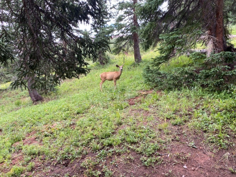
It was another early night to bed (7:00ish?) and as we slept the skies opened up and intermittently rained on us all night. Day Three: Sunday, August 21st After covering roughly 16 miles, we knew the last day would require a 10 mile push over two mountain passes. We wanted to get an earlier start and as 7ish rolled around we found ourselves back on the trail again. Our packs had been getting lighter having eaten most of our food, but the rain soaked tents added that weight back to our packs. Ah well, I think the idea of a non-freeze dried meal and eating it at an actual table and sitting in a real chair was calling us. We trudged on past the socked in Bells. 
We had our groove on and were moving steadily towards Frigid Air Pass. 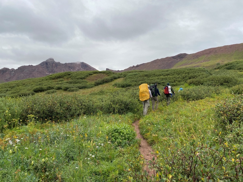
I thought we had grabbed the highest campsite in the basin but no. Had it not been so cloudy this would have been a great spot with amazing views. 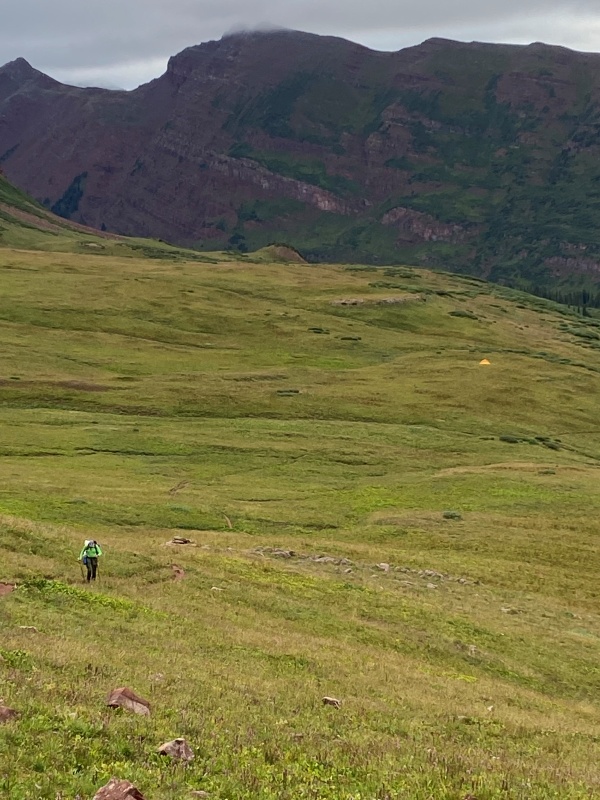
In just under an hour we found ourselves at 12,405' on top of Frigid Air Pass! 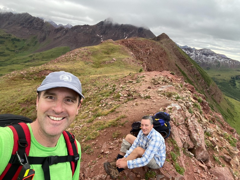
We didn't linger long as we were all pretty focused on moving ahead. Still, when a picture presents itself you have to grab it. 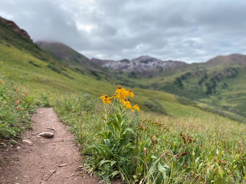
The gang continued to get closer and closer to our end goal. 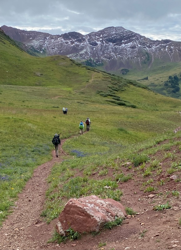
Looking good in the backcountry! 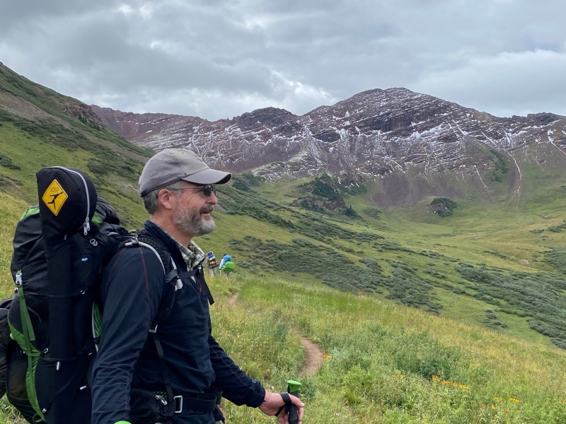
Getting to the top of West Maroon Pass proved difficult. The ascent was relatively short but we all found it to be fairly steep. Maybe it was the steepness. Maybe it was because it was the last pass, but we were elated at reaching West Maroon Pass at 12,465', our fourth pass out of four!!! 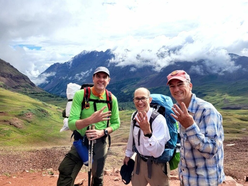
I believe it's roughly 6 miles from West Maroon Pass down to Maroon Lake. The hike out was fairly uneventful. I think we all just put our heads down and got to it. Still, when we got to the end of our weekend we had to pause, reflect on the outing and take a celebratory 'after' picture. Here we are looking a little scruffier and more worn down than at the outset but happy nonetheless. 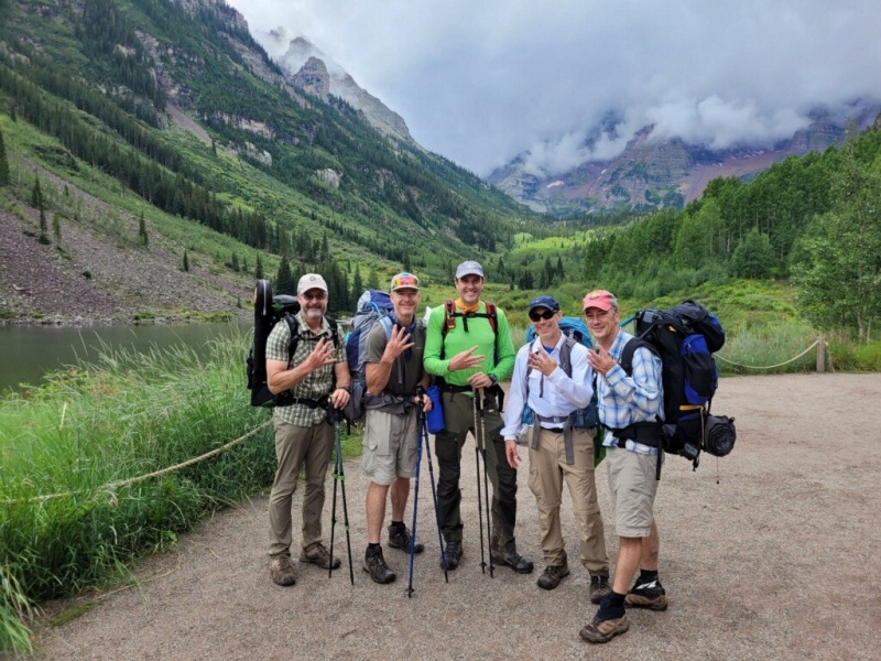
Reaching Maroon Lake we remembered one other aspect of civilization that had been forgotten - bathrooms! 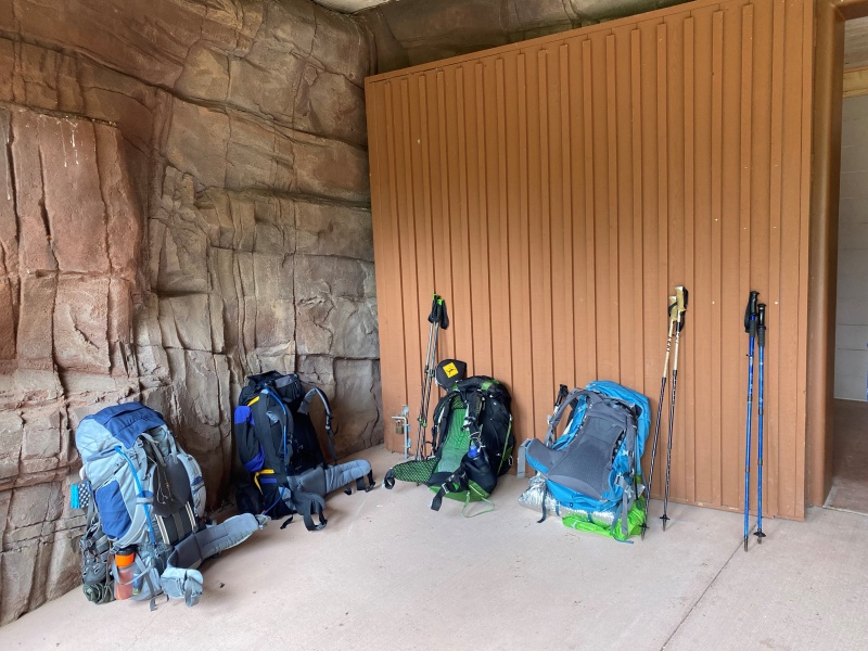
And while I know we all left civilization behind for a few days and went primitive, did we really go so far as to forget how to use a restroom? 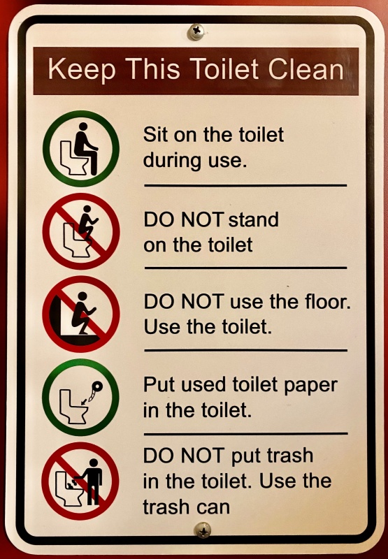
As advertised, the Four Pass Loop is a long and difficult hike. However, if you do it you'll travel through one of the most beautiful parts of a very beautiful state. In my way of looking at things, the trials and effort required is MORE than made up for - and you can only see the Four Pass Loop area by hiking through it. Enjoy... Thumbnails for uploaded photos (click to open slideshow): ")
")
")
")
")
")
")
")
")
")
")
")
")
")
")
")
")
")
")
")
")
")
")
")
")
")
")
")
")
")
")
")
")
")
")
")
")
|
| Comments or Questions | |||||||||
|---|---|---|---|---|---|---|---|---|---|
|
Caution: The information contained in this report may not be accurate and should not be the only resource used in preparation for your climb. Failure to have the necessary experience, physical conditioning, supplies or equipment can result in injury or death. 14ers.com and the author(s) of this report provide no warranties, either express or implied, that the information provided is accurate or reliable. By using the information provided, you agree to indemnify and hold harmless 14ers.com and the report author(s) with respect to any claims and demands against them, including any attorney fees and expenses. Please read the 14ers.com Safety and Disclaimer pages for more information.
Please respect private property: 14ers.com supports the rights of private landowners to determine how and by whom their land will be used. In Colorado, it is your responsibility to determine if land is private and to obtain the appropriate permission before entering the property.