| Report Type | Full |
| Peak(s) |
Treasure Mountain - 13,535 feet |
| Date Posted | 08/19/2022 |
| Modified | 07/26/2024 |
| Date Climbed | 08/14/2022 |
| Author | JQDivide |
| Additional Members | FoodieHiker |
| Backpacking into Treasure |
|---|
|
Treasure Mountain Treasure Mountain was on our short list for this summer. It is our 31th peak in the Crested Butte area. 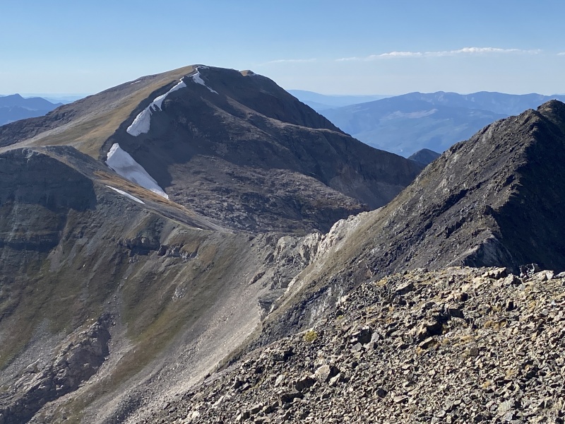
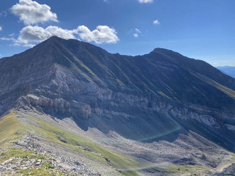
Many people hike this peak with Treasury Mtn. We did Treasury as a late afternoon hike in Sept. 2020. (TR here). You really don't get to see Treasure when you hike it, only see pieces of it as you go. Have to hike other peaks to see it, hence the photo from Treasury. 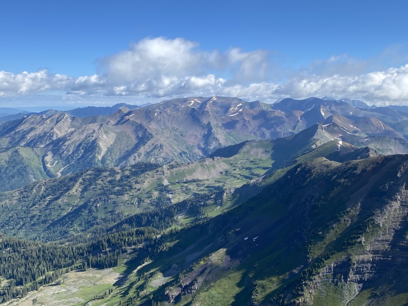
When deciding on how to hike this peak, we discussed backpacking. But, we went for it last month as a daytrip after hiking Mt. Axtell. We got close to the top of Yule Pass but encountered a large snow crossing. We didn’t feel comfortable crossing the solid snow without microspikes and an ice ax, or maybe a garden tool. It would have been a long ride down to the bottom if we slipped. And, to be honest, I was having some tummy issues, so it was an easy call to turn around and come back. So happy we did. For this hike, we knew we were heading to CB afterwork on Friday. But what was the plan? Hike in that night and go for the peak on Saturday? Hike in the next morning or in the afternoon and hit the summit Sunday? We decided to play it chill. Took a leisurely drive to BV for dinner and a stop at Little Daisy to pick up some wine. We drove over Cottonwood and camped along the Taylor River. We were up early Saturday, but not too early. Headed straight to Camp For Coffee where we got our favorite caffeine and some croissants for the hike. Had a good breakfast at McGills before driving to Paradise Divide. 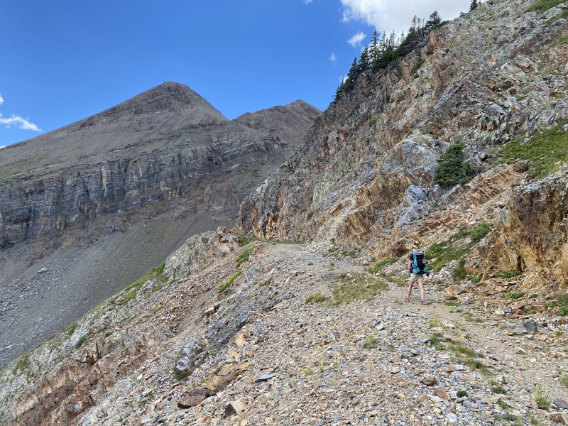
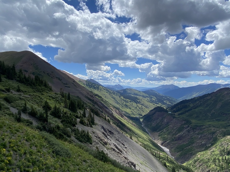
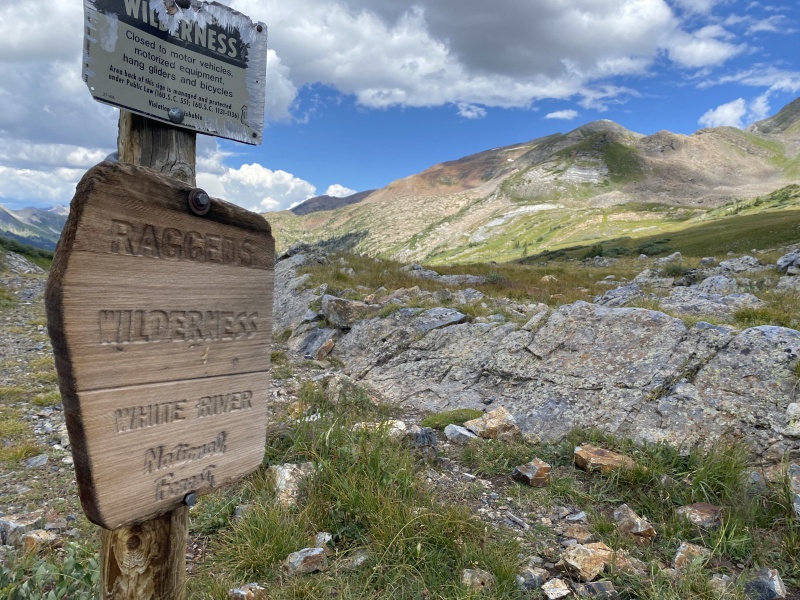
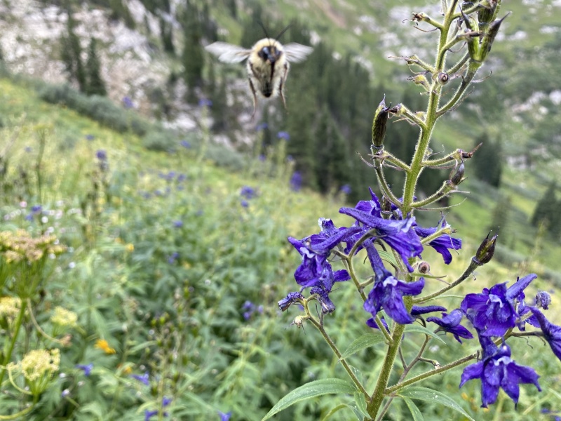
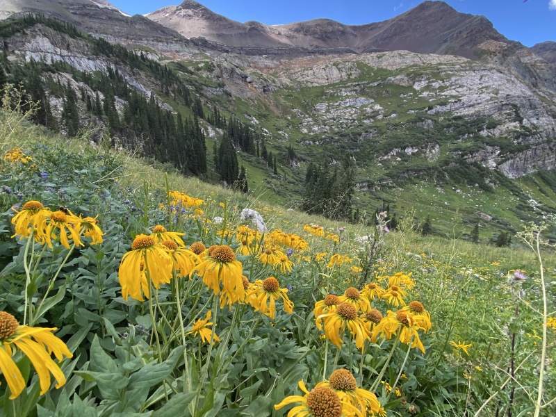
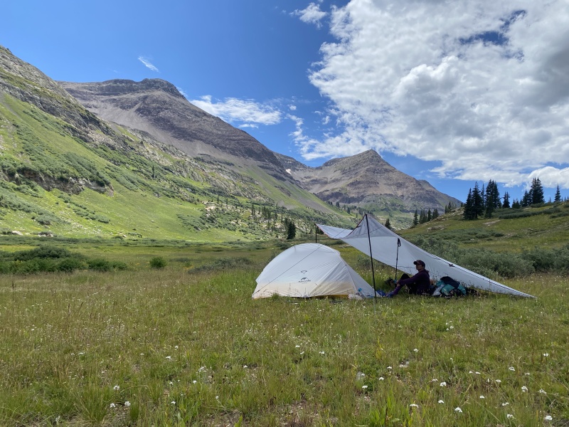
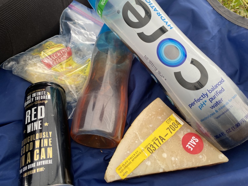
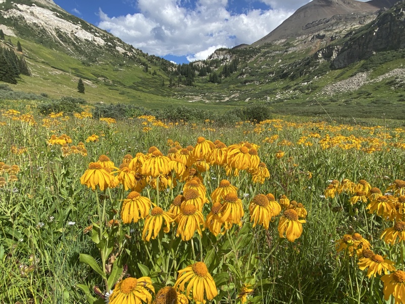
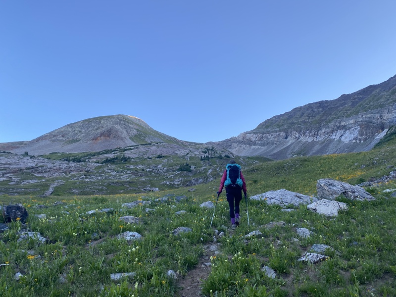
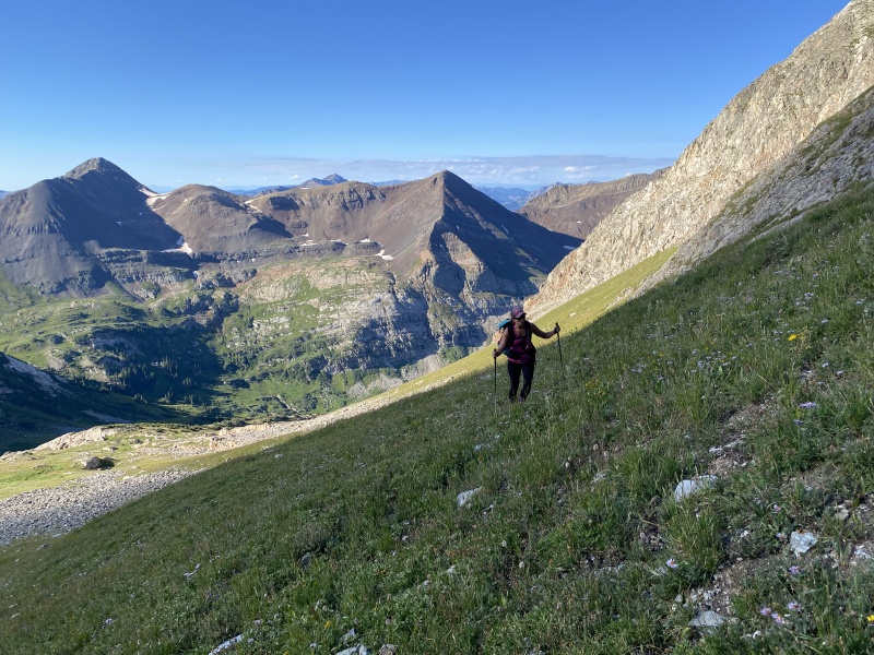
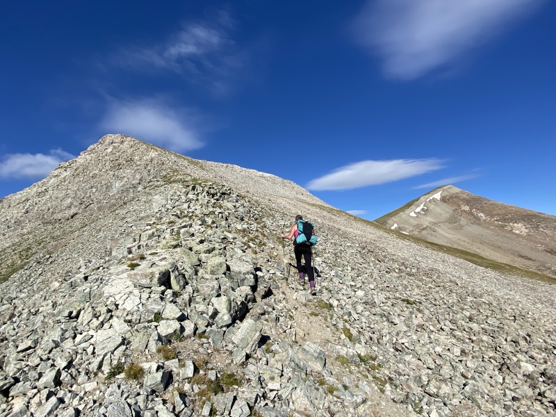
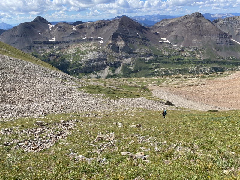
Yule Pass used to be a road. It is still very wide in spots, but very narrow on steep slopes in other spots. Yet, it is very level, only about 200 feet of gain in two miles from Paradise Divide to the top. From there we would drop a few hundred feet to camp. Knowing that, we carried “heavy.” Meaning we took in a few comfort items, like two bottles of wine, whiskey, and snacks, as well as a large tarp to shield us from the sun and rain without having to stay in the small tent. We left the TH just before 11 a.m. Have to love a leisurely start when you can get one. This was the first time we have gone more than a few steps passed the top of Yule pass. From here we have hiked Purple Mtn and the Treasury Mine area, but those routes are near the top. I must say, the west side of Yule Pass would be a wonderful wildflower hike in prime season. We still saw plenty of flowers, but I’m guessing two weeks ago the area would have been full of flowers. 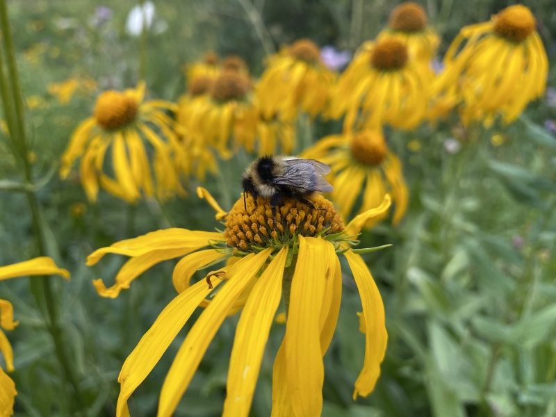
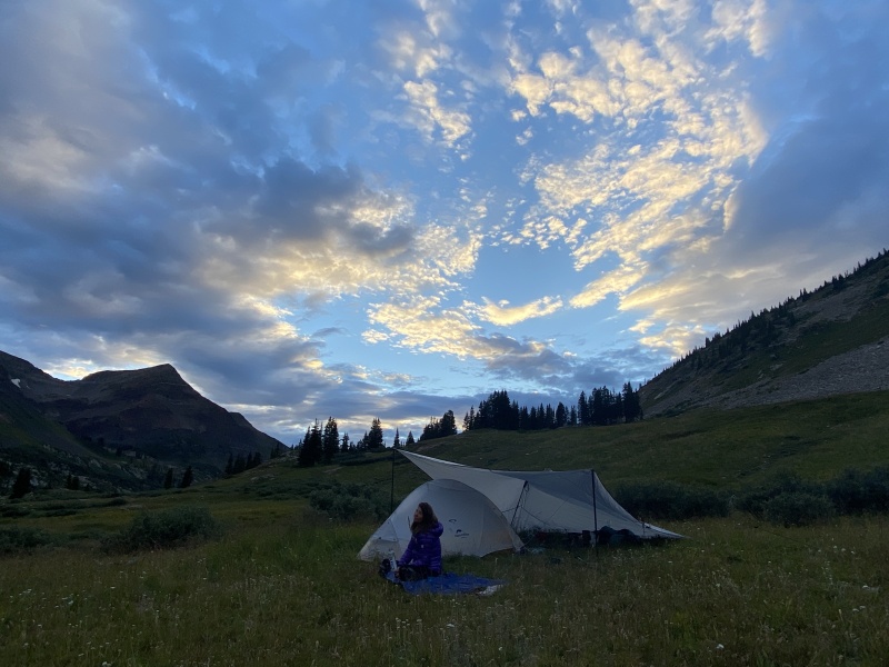
The afternoon wasn’t too warm. Some clouds were building. But we felt good about our pace, an hour to the pass and we quickly moving downhill. I had an idea about where to camp that was level, but we checked a few spots along the way. No good. We had a short discussion about camping at the Yule Lakes, but those were near 12,000 and several people were heading that way. We decided on going lower. We ended up a little more than a one mile from the top of the pass and just below 11,000. Glad we did that, because we had just spent a week at sea level visiting the Redneck Riviera and NOLA. We were feeling the elevation. We set up camp, spent time getting water, eating, napping and drinking wine. The highlight of the evening was watching a herd of 30 mountain goats on the shoulder of the point in front of us. 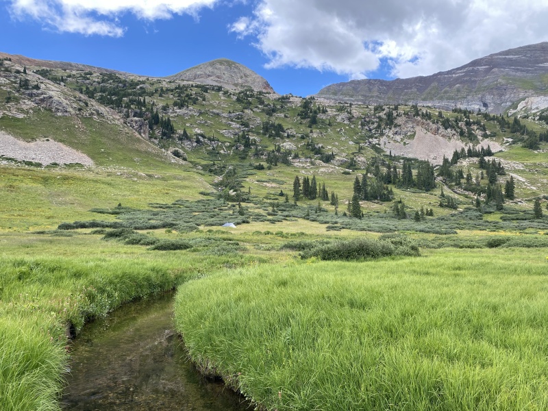
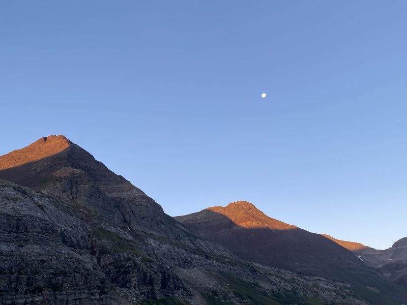
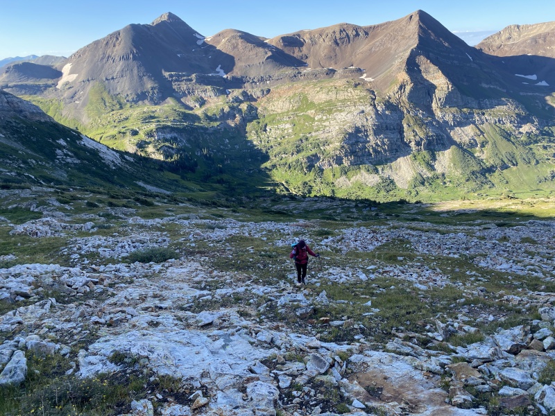
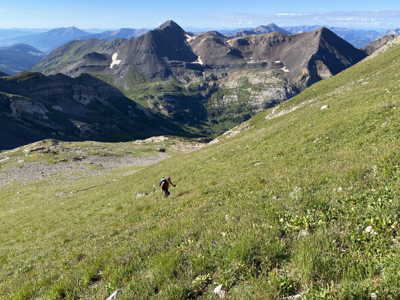
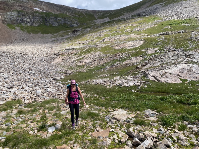
The biggest discussion we had… how long will it take to summit? Best case 2:30, worst 4:00. We based on wakeup call on the worst and were on the trail by 6:15 a.m. on Sunday. Back up the route we came down. About half a mile back to the trail split that goes toward the Yule Lakes. The cairn we found there was a dog poop bag stuffed into an orange Croc… no better way to protect your poop. Looking up, this area’s rocks looked like the “brain” rock. From the split, we followed the trail until a small pond near 11,700, and turned up hill. Pretty much straight up hill. This was about one hour into the hike. We took a break for breakfast about 7:30. 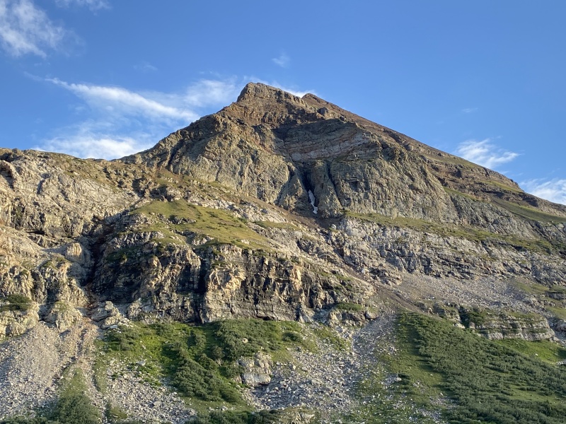
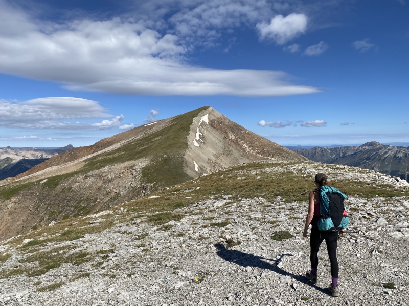
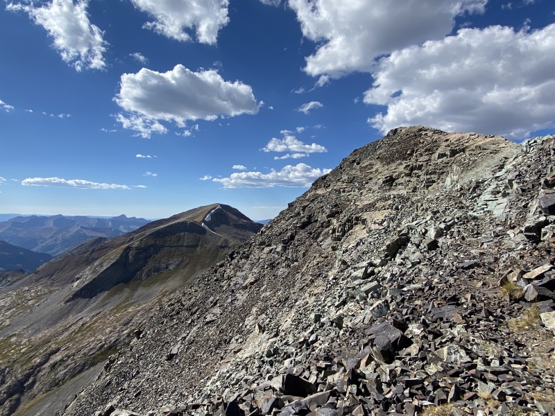
The route is very much a combination of rocks, slabs and grass. We followed what has become the traditional route when doing this peak alone, or the “descending” route when doing this peak with Treasury. Up we went until about 8:15, somewhere near 12,400. We heard “ROCK!” The shout came from Treasury. Oh Oh! For those that don’t know the ridge between Treasure and Treasury doesn’t go. Or doesn’t go for the overwhelming majority of people. You need Class 5 skills and rope. We scanned the ridge coming down Treasury. No one was at the top, no silhouettes could be seen. I looked at the ridge’s jagged crux. No one there. The sun was just coming over Treasury which sent a glare into our eyes as we kept looking for someone. Then I saw a red jacket. 
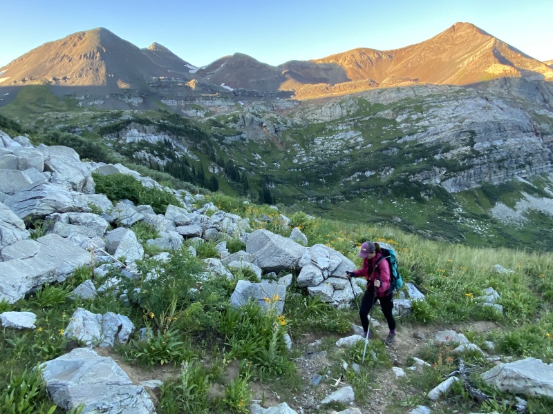
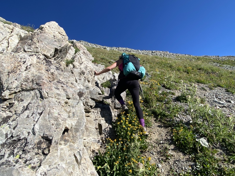
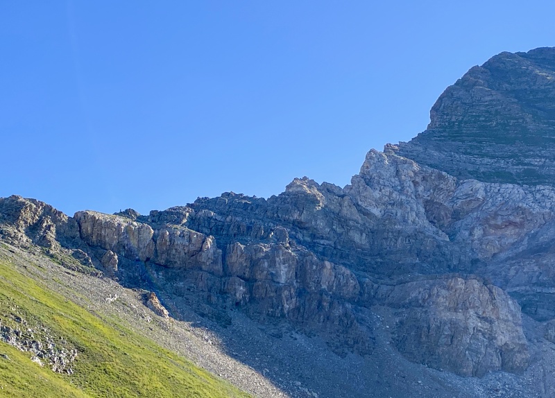
The hikers on Treasury would be in trouble if they kept moving down. I was ready to contact SAR. The side of the west ridge off of Treasury erodes into a series of gullies which end at a steep rocky cliff layer. The two people were coming down one of the gullies toward the cliff band. We could hear them talking, but couldn’t make out the words. I yelled at them a few times. They finally heard me yell “Cliff!” They went back up a few feet. They began traversing east, back toward the main body of the peak. We watched them. Then lost them. If they could follow some grassy areas, they could make it back to the traditional route near the old mine. They made it. Just a reminder the ridge doesn’t go. Several TRs mention this. We returned to our task of hiking up a very steep grassy slope. The last 400 feet are steep! We ended up moving to our right, toward the ridge’s crux area, using a goat path. From here we got a good look at the crux. It looks scary. 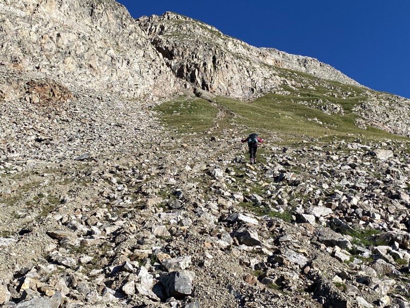
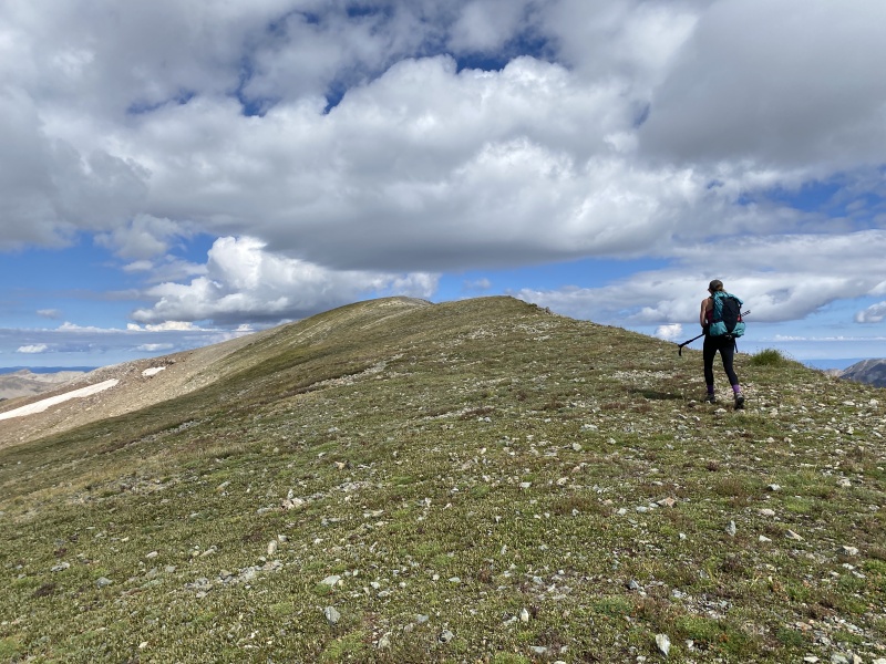
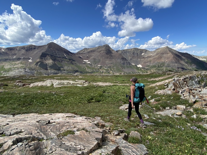
We hit the ridge near 13,000 and turned left to the shoulder bump, the bump you see on most of this lower hike (and even from camp). Turns out, you can skip it and just go around it to the right. From the bump were turned west, went down to 13,000 again to a saddle with the summit. Up 400 feet to the other side to discover it was a false summit. But hey, the route from here to the real summit was fairly flat. 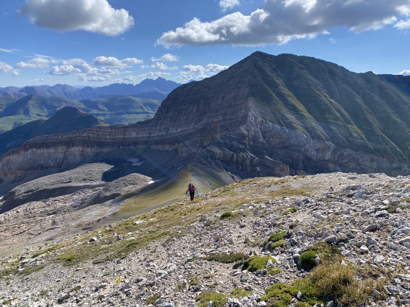
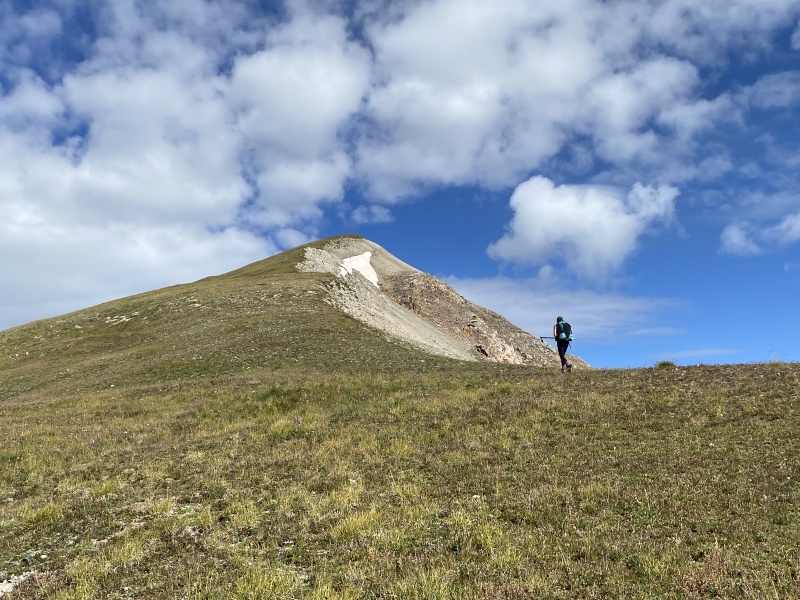
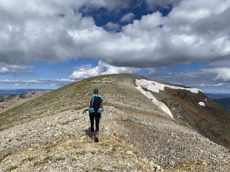
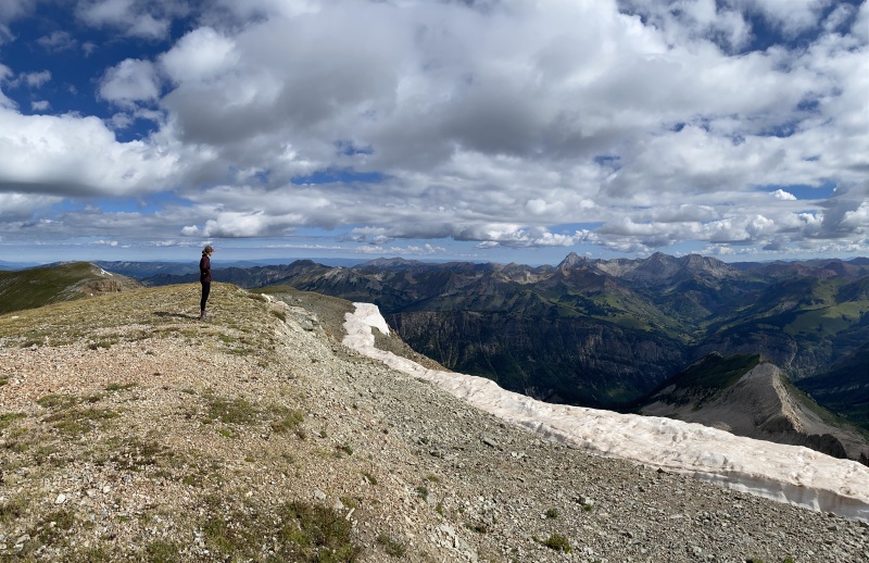
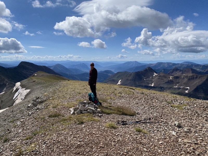
We reached the summit at about 9:45 a.m. So, 3 hours and 30ish minutes up from camp, or three hours from the trail split. That includes a long food break and watching the two other hikers. (My guess, if you started at Paradise Divide, it would take 3:45 to 4:30 hours to reach the summit.) If you go, take a new paper registry. The summit had a pretty cool view of Capitol and Snowmass. 
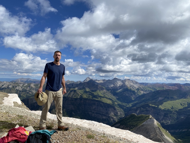
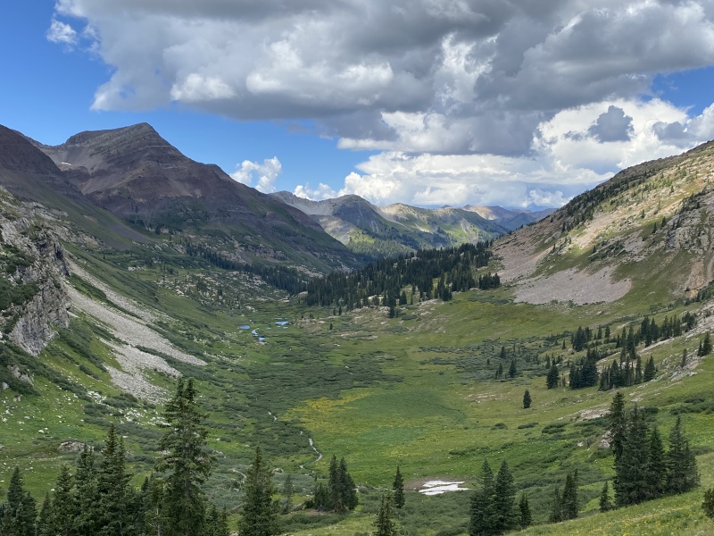
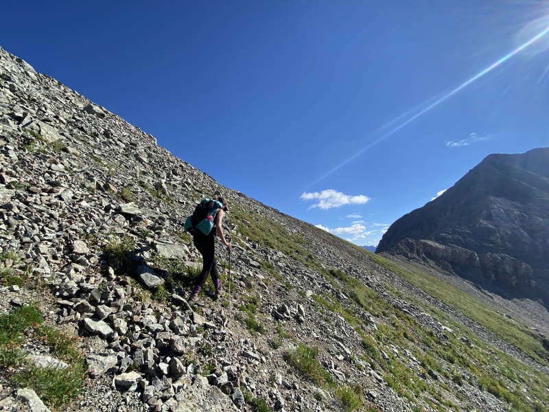
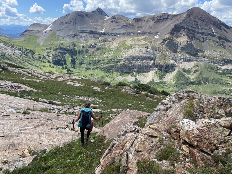
We spent some time snacking and hanging out and then headed down. We took a peek over the curved edge to get a glimpse of the largest of the Yule Lakes near 12,000 feet. That area would be a nice backpacking trip. The lakes sit on a large “shelf” above the lower basin. We continued to retrace our steps, and we saw that two hikers were on their way to the summit. Could it be the two we saw on Treasury? Yes. We spoke to them for a few minutes. The got to the crux of the ridge and decided they could not do it, so looked for another way down. Let me repeat, the crux doesn’t go. We hiked back to the 13,000-foot saddle between the false summit and the bump, and decided to take a short cut. Yeah, I know, it didn’t work for the other two. But we could see where we were going. It was mostly a grassy slope with a rock band. Had to navigate the band to the far left, then back to the right to miss most of a boulder field and back onto the grass near 12,300. 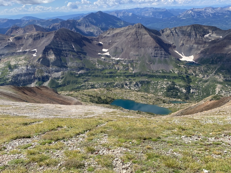
We knew we would find the lake trail between 12,000 and 11,600. I will say, that trail is hard to find. Mostly because it is not all dirt. The trail still has a lot of grass on it. I guess because it is not highly used. But also, the trail goes right over the slabs, which leaves no trace. We found it just right at 12,000. We went left and noticed a few cairns along the way. Then we lost it. And found it. Then we were back at the small pond and the way we came up. Took us about two hours to get back to camp. We packed up kind of quickly due to some building clouds. It was warm out. We knew hiking back up was going to be hot. Could we get some shade from the cloud cover? We left camp about 12:40 and it turned out to be a mix of warm sunny skies and cool cloud cover. We even got a few raindrops. One the way up to Yule Pass, we saw a helicopter make three passes at Treasury. We thought for sure someone else had trouble with the crux and the ridge again. But it never landed or hovered, then it was gone. No SAR people on the way in. So, hopefully, it was just sightseers. 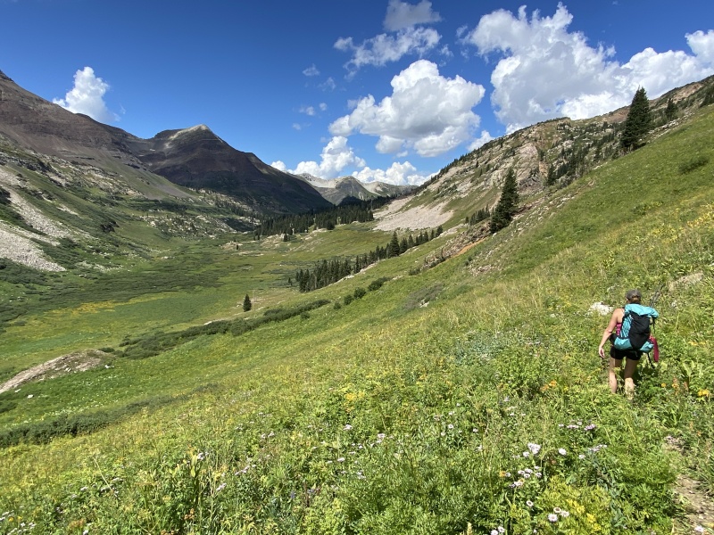
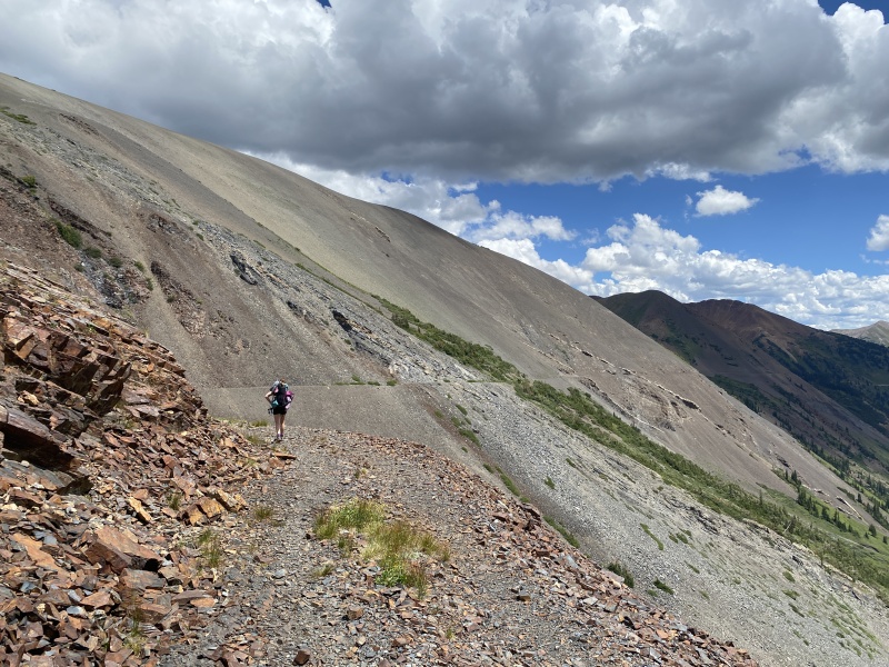
Going back uphill, we could tell we were tired. It was about 700 feet of gain to Yule Pass from camp. And those warm skies, didn’t help. But once at the top, it was a nice flat walk, for the most part. The pass trail has a few gullies that cross it and provided some interesting steps. Back at the Suburban and we cleaned up with some sponge baths and had a cold cocktail. We went to Bonez for an early dinner and then drove home. Surprisingly, the heavy traffic we have seen all summer wasn’t there on Sunday. Wasn’t even that busy with the detour in South Park. It was nice to close out this group of peaks off of Paradise Divide: Purple Mtn, Treasury, Cinnamon, Baldy and now Treasure. I’ll miss coming up to this area. The view of Yule Pass from the road is pretty sweet. Up next, we have four peaks (12ers) in the Oh Be Joyful area on the list for this summer to finish the Ruby Range. Hoping to get a few more CB peaks this fall. 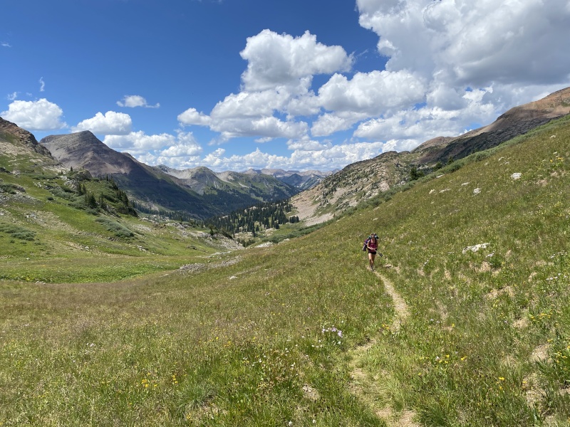
Stat Totals: 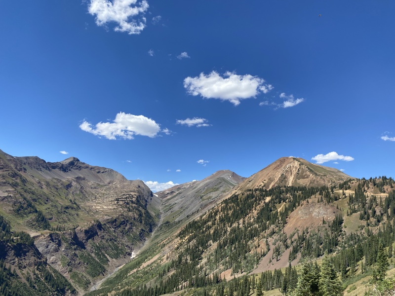
Thumbnails for uploaded photos (click to open slideshow): ")
")
")
")
")
")
")
")
")
")
")
")
")
")
")
")
")
")
")
")
")
")
")
")
")
")
")
")
")
")
")
")
")
")
")
")
")
")
")
")
")
")
")
")
")
")
")
")
")
")
|
| Comments or Questions | |||
|---|---|---|---|
|
Caution: The information contained in this report may not be accurate and should not be the only resource used in preparation for your climb. Failure to have the necessary experience, physical conditioning, supplies or equipment can result in injury or death. 14ers.com and the author(s) of this report provide no warranties, either express or implied, that the information provided is accurate or reliable. By using the information provided, you agree to indemnify and hold harmless 14ers.com and the report author(s) with respect to any claims and demands against them, including any attorney fees and expenses. Please read the 14ers.com Safety and Disclaimer pages for more information.
Please respect private property: 14ers.com supports the rights of private landowners to determine how and by whom their land will be used. In Colorado, it is your responsibility to determine if land is private and to obtain the appropriate permission before entering the property.


