Download Agreement, Release, and Acknowledgement of Risk:
You (the person requesting this file download) fully understand mountain climbing ("Activity") involves risks and dangers of serious bodily injury, including permanent disability, paralysis, and death ("Risks") and you fully accept and assume all such risks and all responsibility for losses, costs, and damages you incur as a result of your participation in this Activity.
You acknowledge that information in the file you have chosen to download may not be accurate and may contain errors. You agree to assume all risks when using this information and agree to release and discharge 14ers.com, 14ers Inc. and the author(s) of such information (collectively, the "Released Parties").
You hereby discharge the Released Parties from all damages, actions, claims and liabilities of any nature, specifically including, but not limited to, damages, actions, claims and liabilities arising from or related to the negligence of the Released Parties. You further agree to indemnify, hold harmless and defend 14ers.com, 14ers Inc. and each of the other Released Parties from and against any loss, damage, liability and expense, including costs and attorney fees, incurred by 14ers.com, 14ers Inc. or any of the other Released Parties as a result of you using information provided on the 14ers.com or 14ers Inc. websites.
You have read this agreement, fully understand its terms and intend it to be a complete and unconditional release of all liability to the greatest extent allowed by law and agree that if any portion of this agreement is held to be invalid the balance, notwithstanding, shall continue in full force and effect.
By clicking "OK" you agree to these terms. If you DO NOT agree, click "Cancel"...
We had plans for Labor Day weekend, which included Staci having to work on Sunday. Ugh.
We were set to go to LaPlata on Friday night, but never pulled the trigger. I don’t think either of us really wanted to do it. So, we changed plans to do the Helen-Father Dyer traverse on Saturday morning. The alarm went off… but we stayed in bed. Ugh.
A lazy Saturday morning started… but by 8 a.m. we were both like… “so, what are we going to do?”
Staci made a call and was able to switch her appointment from Sunday to Monday.
“How about CB?”
“YES!”
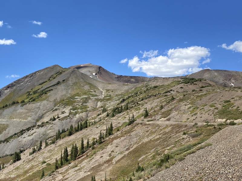
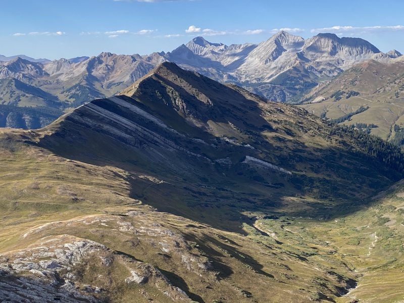
Yule Pass with Purple, Treasury and Cinnamon Mountains.
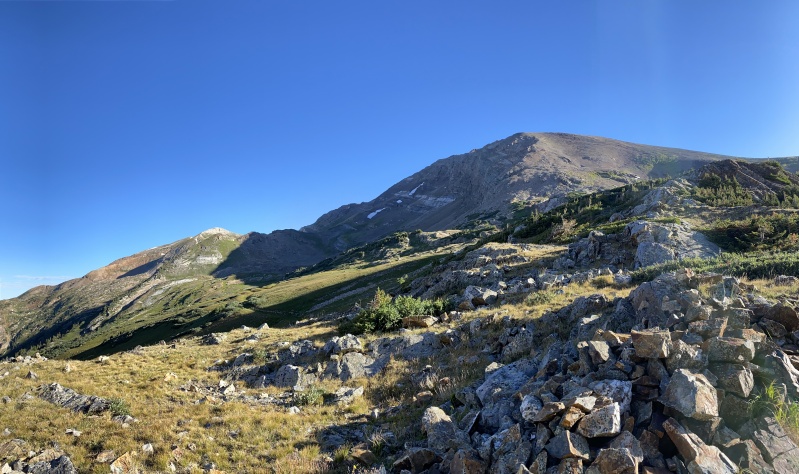
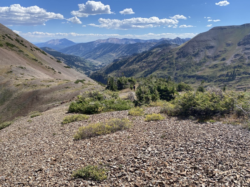
Yule Pass
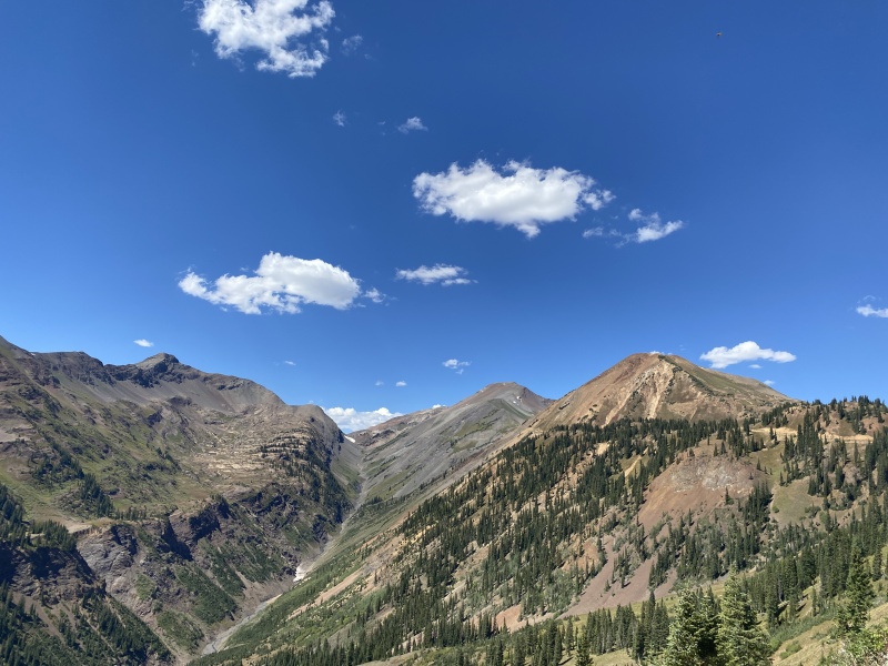
Treasury and the Yule Pass road/trail
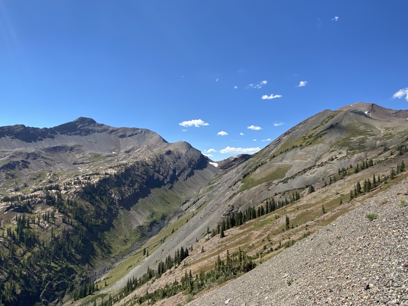
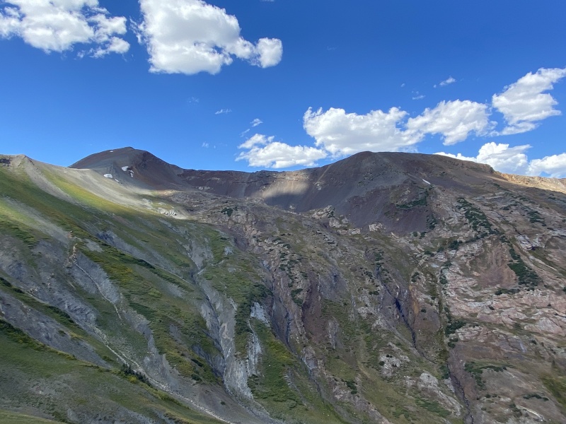
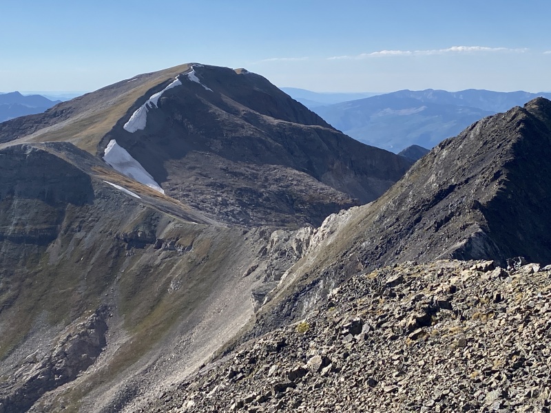
On the saddle looking back...
Treasury
We started working on all the peaks around Crested Butte last year. Needed another list once we finished the 58 (more TRs to come), We packed up the burb and were on the road by 9:30 a.m.
We grabbed some slices to-go from Brick Oven Pizza and we hit the trailhead at Paradise Divide by 2:30 p.m. You have to love stable weather days in September!
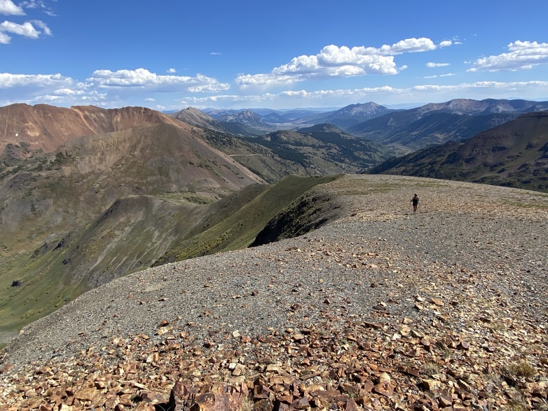
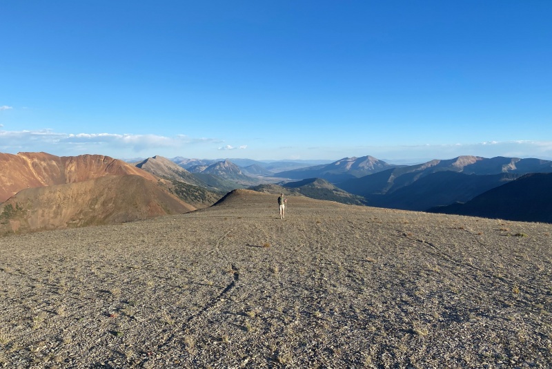
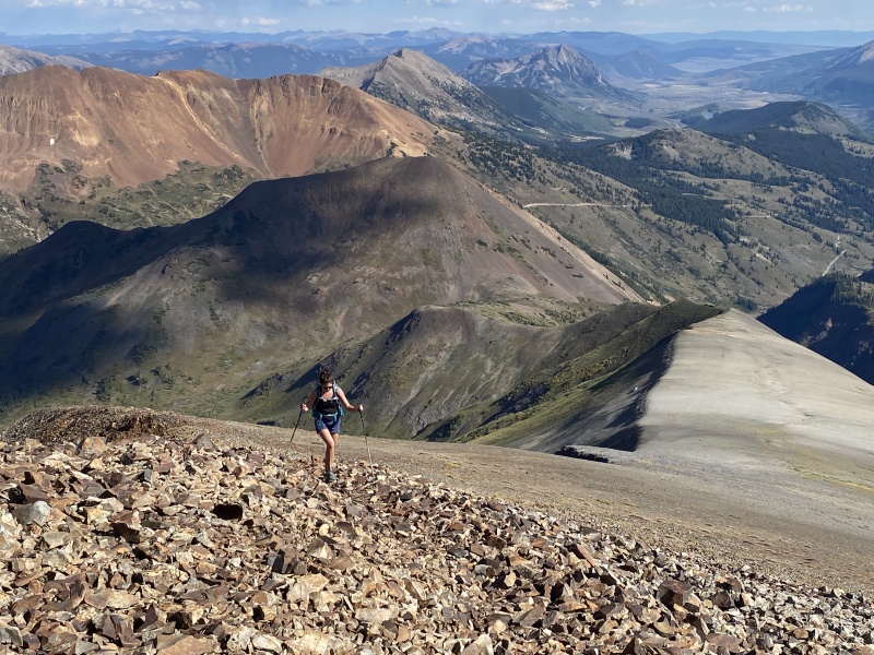
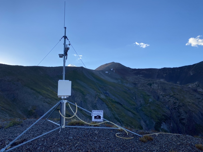
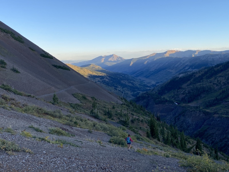
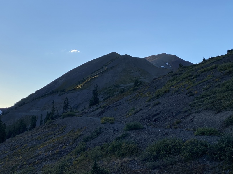
It was warm, so we took more water than normal. We started up the old mining road to Yule Pass and walked around Cinnamon Mountain to the saddle with Treasury Mountain. We could see a few trails off the road to hike up to reach the top the saddle and then we started moving toward the ridge that would take us to the summit. We passed two guys coming down on mountain bikes. There is a weather station on the lower ridge, just like the one on top of Cinnamon.
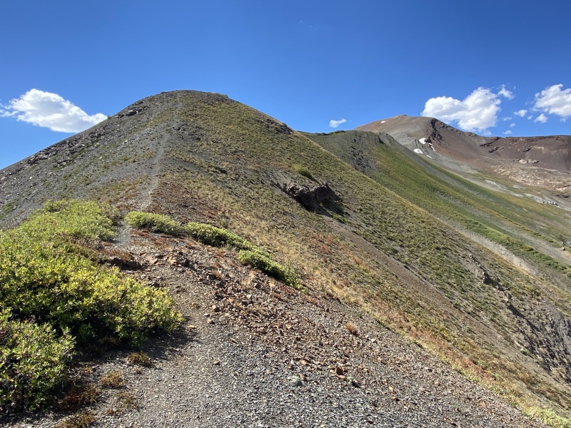
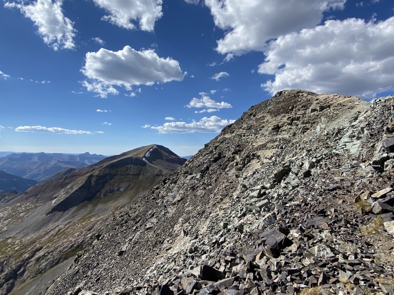
Ridge to summit
On the route, looking back
Wide through here...
Rocky sidewalk
that looks like it could hurt if you tripped on it
Wide area
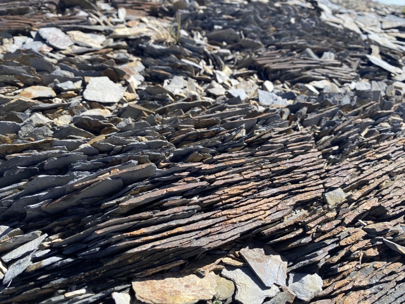
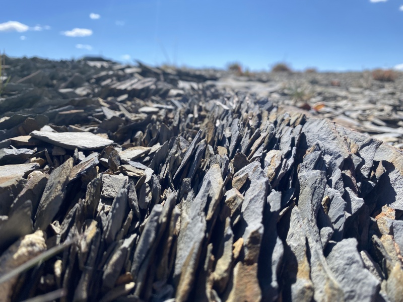
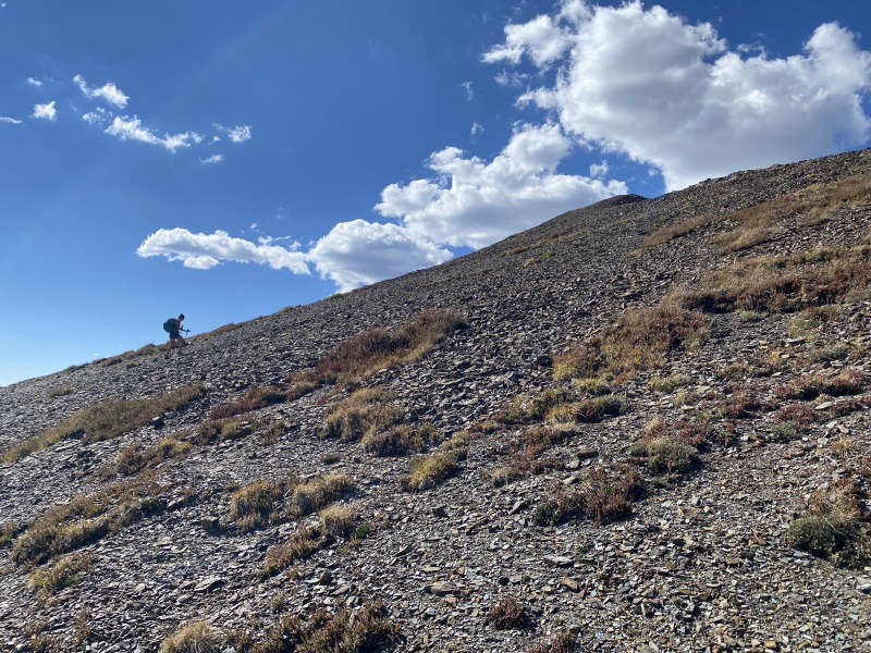
Yule Pass route was probably a full road at one time, but erosion has wiped it away in some places leaving only a narrow trail on steep slopes. Watch your step. The trail was easy. A few steep spots on the ridge, but they were short. The terrain was interesting going from a road, to a ridge to very wide slope. I assume the rock on most of this is some form of shale, as the ground had come cool rock formations to walk on.
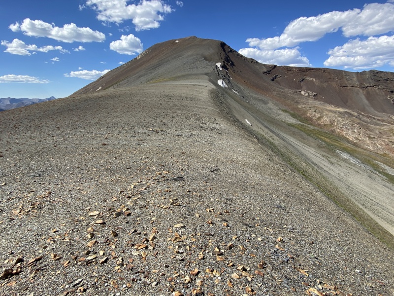
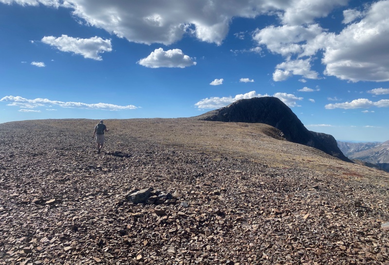
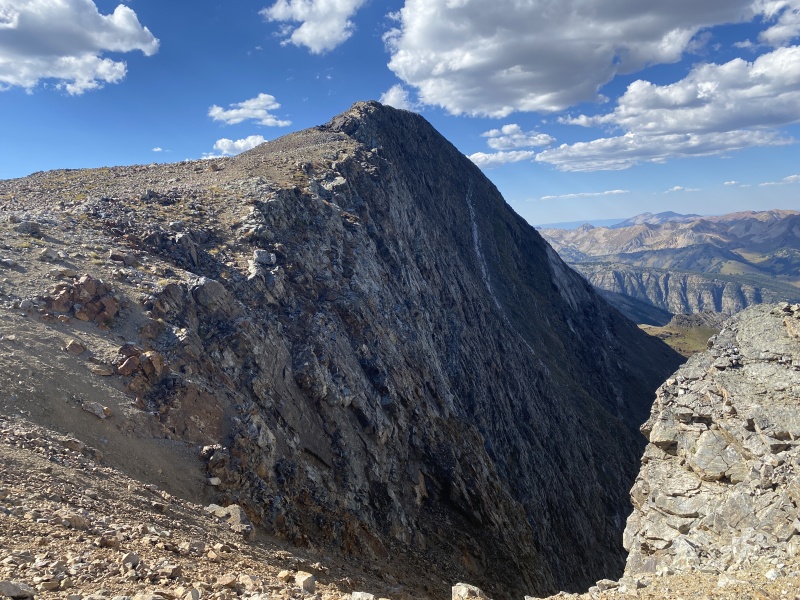
Up the next slope to see the backside of Treasury. It’s vertical! Then up to another flat spot before the summit. This flat spot looks like it might have been mined a bit as there were numerous depressions, but no real mine tailings. There were a few spots to put up a tent on non-rocky ground.
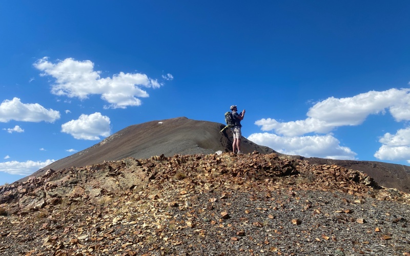
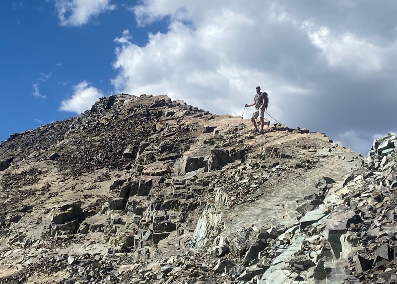
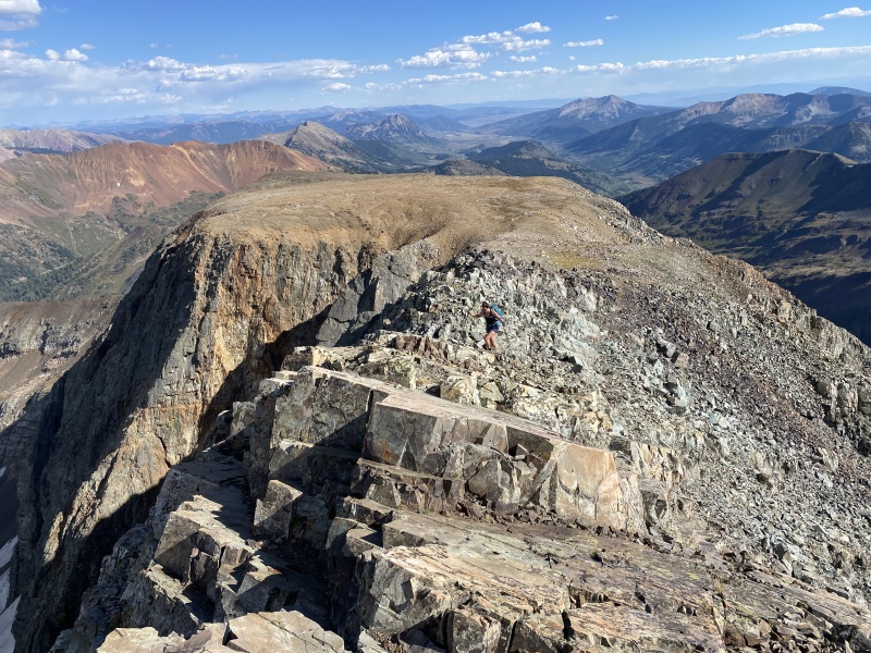
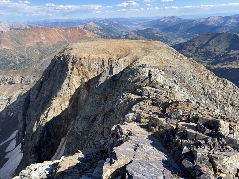
But the really cool thing about this peak, other than the views… the summit pitch. From this flat area, the summit was across and bulging out of the ground, a huge bump. The peak’s route had easy terrain up until the bulge. Now it was rocky and uneven. Large slabs of rock formed a staircase-like ramp toward the summit. A bit narrow, but nothing crazy. It was just cool.
Took about 2:15 to reach the summit, with about 1,910 of gain.
Slope up
Wide area
Taking a photo of me taking a photo
Near the upper flat section
This side is steep
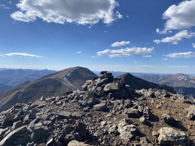
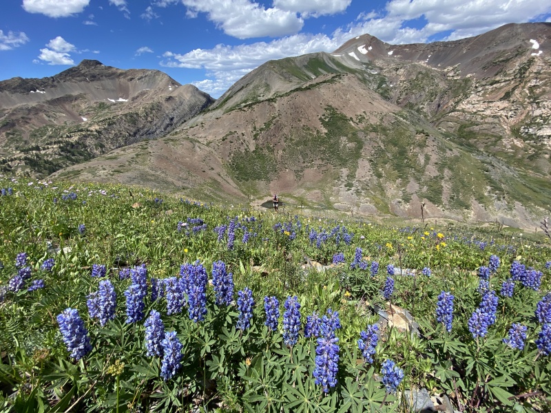
Once on the summit we took some time to look around at which peaks we had climbed, and to decide on future peaks. We have been in this area a lot last year and this summer. We tagged Purple Mountain recently, which was just across Yule Pass.
We talked about heading down and over to Treasure, but Staci didn’t want to hit that today. We’ll be back for that summit.
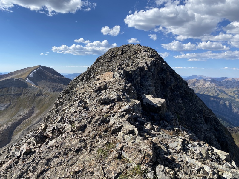
We turned around and made our way down the ramp toward the ridge. We took a detour…. Just an FYI, the highpoint on the ridge to Galena… is NOT Galena.
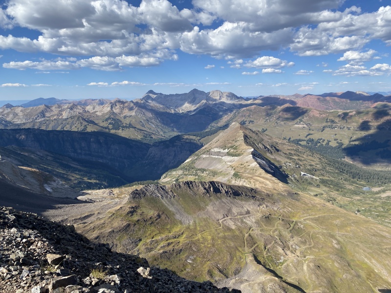
Treasure and Treasury
Summit push
Cool area
Slabby
Slab ramp
summit
view from the top
The ridge does not go.... need ropes
Back on the Treasury ridge, we watched the sun drop into the “V” of Yule Pass and cast shadows on Cinnamon. We returned to our camping spot on the Divide and pulled out chairs, table and stove to cook dinner. We drank a bottle of wine and stared up at the stars and the Milky Way. We saw several shooting stars before calling it a night.
Sunday was a lazy day, just hanging out, exploring, and playing in the creek. Had a great dinner at Marchitelli’s. Second time there, highly recommend it. We camped at Lake Irwin. Fished. Drank more wine under the stars.
Monday morning, we went to hike Mount Owen but turned back when we saw a gate across the road and lots of ‘no trespassing’ signs. I have an email into the Forest Service asking for details on this.
Another great weekend in CB, despite how crowded it’s getting over there. Since we didn’t hike on Monday, we stopped to hike up to Lost Lake off Cottonwood Pass. Nice short hike to a cool little lake. But the place is popular… go early or go late if you don’t want crowds.
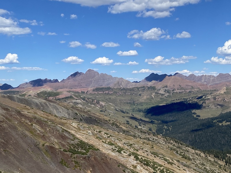
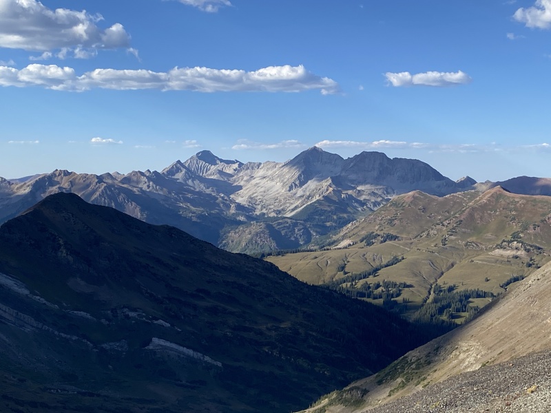
Bells and Pyramid
Purple Mountain... it's loose at the top
Crystal, with Cap and Snowmass in the background
Crystal, with Cap and Snowmass in the background
Cap and Snowmass
Weather station
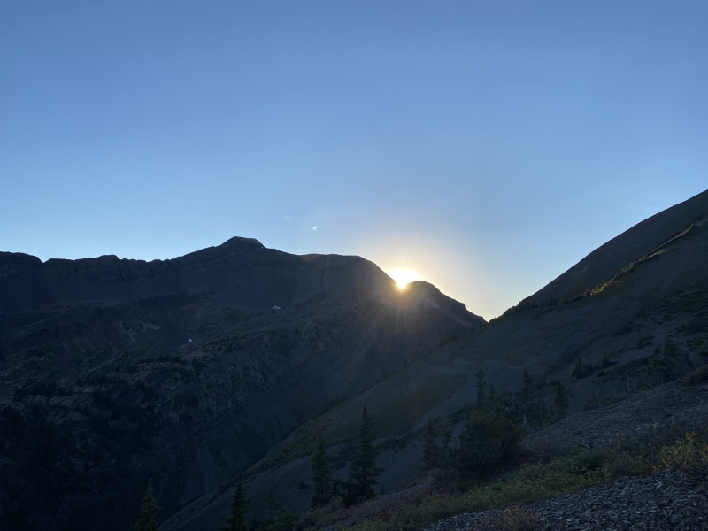
Setting sun behind Purple
Heading down
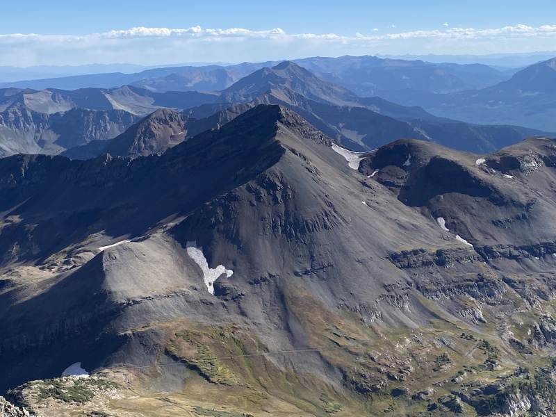
Treasury
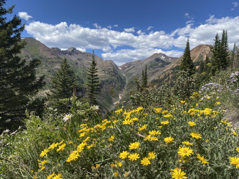
Views of Treasury from earlier this summer....
Purple and Treasury from Cinnamon's slope, August 2020
Yule Pass from Paradise Divide Road, August 2020
This was peak #13 on our Crested Butte peak list we are working on. If you want to see some TRs for a bunch of random CB area 12ers, check out our blog.
Thumbnails for uploaded photos (click to open slideshow):
Mt Owen - Green Lake Road Closure 9/11/2020 12:29pm
That road to Green Lake was closed in 2016 by a property owner. This is the latest status I have seen about it: http://crestedbuttenews.com/2019/11/contentious-green-lake-road-closure-heads-back-to-court/
I had driven up the road in 2015 and then when I returned the following summer I was surprised to find it closed.
Caution: The information contained in this report may not be accurate and should not be the only resource used in preparation for your climb. Failure to have the necessary experience, physical conditioning, supplies or equipment can result in injury or death. 14ers.com and the author(s) of this report provide no warranties, either express or implied, that the information provided is accurate or reliable. By using the information provided, you agree to indemnify and hold harmless 14ers.com and the report author(s) with respect to any claims and demands against them, including any attorney fees and expenses. Please read the 14ers.com Safety and Disclaimer pages for more information.
Please respect private property: 14ers.com supports the rights of private landowners to determine how and by whom their land will be used. In Colorado, it is your responsibility to determine if land is private and to obtain the appropriate permission before entering the property.

")
")
")
")
")
")
")
")
")
")
")
")
")
")
")
")
")
")
")
")
")
")
")
")
")
")
")
")
")
")
")
")
")
")
")
")
")
")