Download Agreement, Release, and Acknowledgement of Risk:
You (the person requesting this file download) fully understand mountain climbing ("Activity") involves risks and dangers of serious bodily injury, including permanent disability, paralysis, and death ("Risks") and you fully accept and assume all such risks and all responsibility for losses, costs, and damages you incur as a result of your participation in this Activity.
You acknowledge that information in the file you have chosen to download may not be accurate and may contain errors. You agree to assume all risks when using this information and agree to release and discharge 14ers.com, 14ers Inc. and the author(s) of such information (collectively, the "Released Parties").
You hereby discharge the Released Parties from all damages, actions, claims and liabilities of any nature, specifically including, but not limited to, damages, actions, claims and liabilities arising from or related to the negligence of the Released Parties. You further agree to indemnify, hold harmless and defend 14ers.com, 14ers Inc. and each of the other Released Parties from and against any loss, damage, liability and expense, including costs and attorney fees, incurred by 14ers.com, 14ers Inc. or any of the other Released Parties as a result of you using information provided on the 14ers.com or 14ers Inc. websites.
You have read this agreement, fully understand its terms and intend it to be a complete and unconditional release of all liability to the greatest extent allowed by law and agree that if any portion of this agreement is held to be invalid the balance, notwithstanding, shall continue in full force and effect.
By clicking "OK" you agree to these terms. If you DO NOT agree, click "Cancel"...
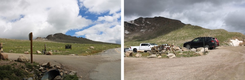
The permit system was simple, especially for Summit Lake. I bought it the day before, and there were 23 spots left for entry between 8-10am, the time I picked since it was the earliest. There were two other vehicles in the parking lot when I was on the trail at 4:45am.
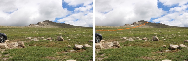
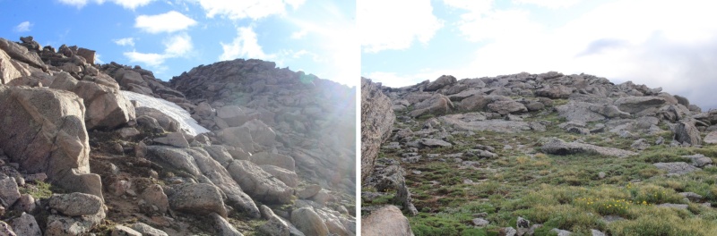
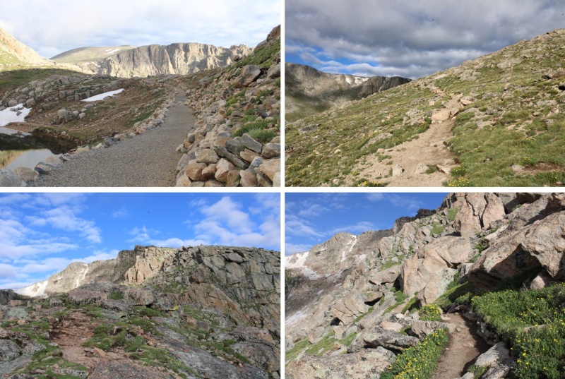
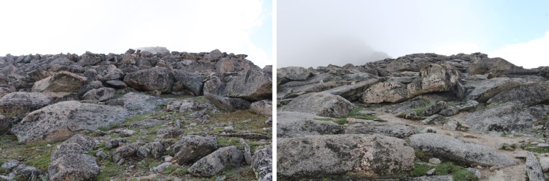
I was headednortheast, to the summit of Mt Warren. This was simple, class 2, and straightforward. Except it was dark and the rocks were slippery because of the rain. Here’s the route I took.
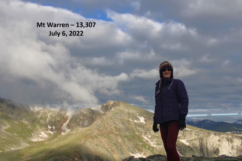
After hiking northwest for .75 miles, I summited Mt Warren at 5:10am
Mt Warren:
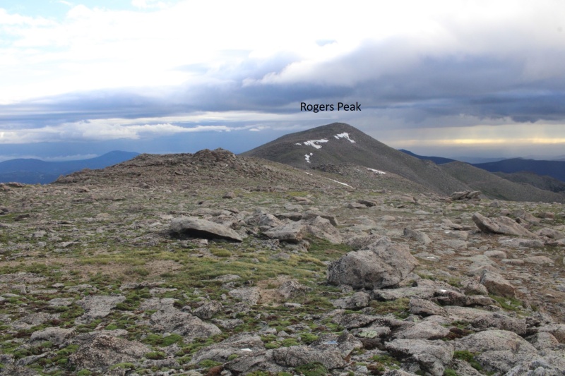
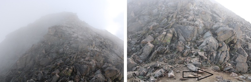
I continued following the ridge northwest, to the summit of Rogers Peak. This was also class 2
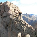
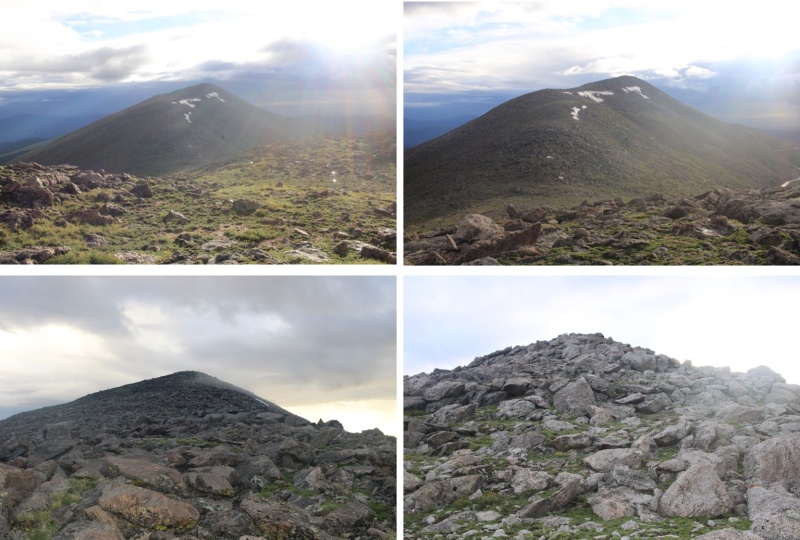
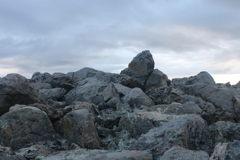
The summit of Rogers Peak is the top of this rock.
I climbed up it (not difficult) but took the video from below.
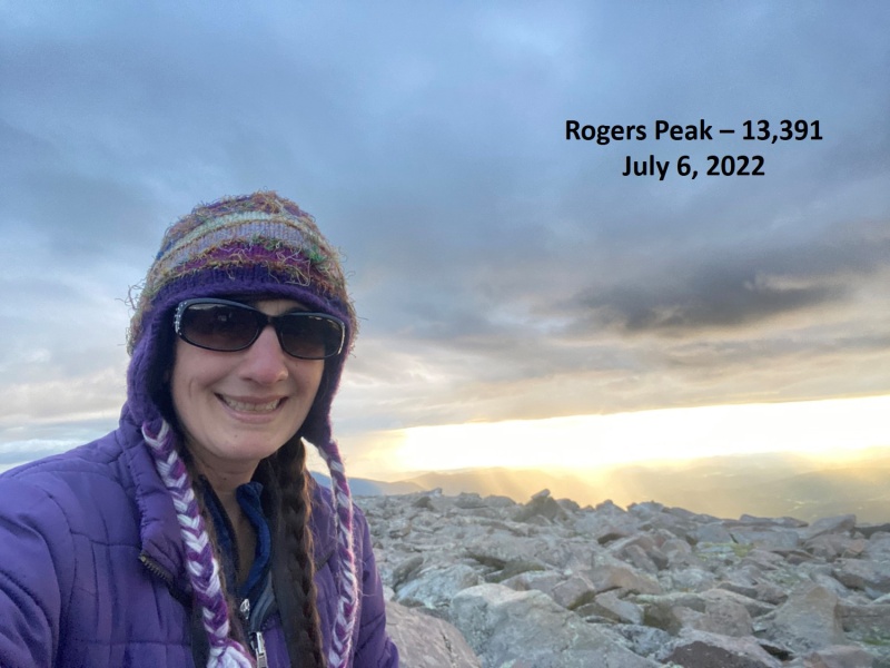
I summited Rogers Peak at 6am
Rogers Peak:
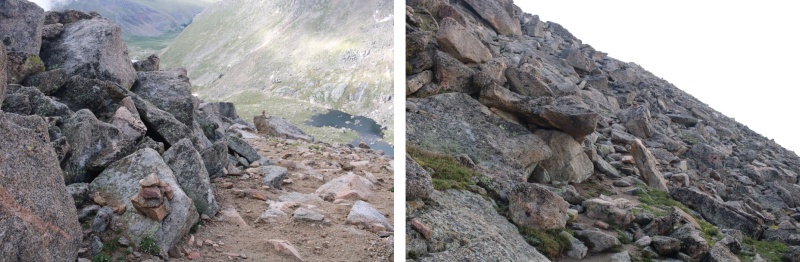
Now to re-trace my steps back to Summit Lake.
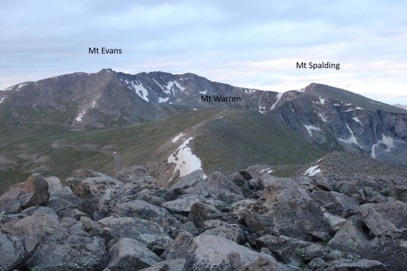
I re-summited Mt Warren, and continued southwest towards Summit Lake
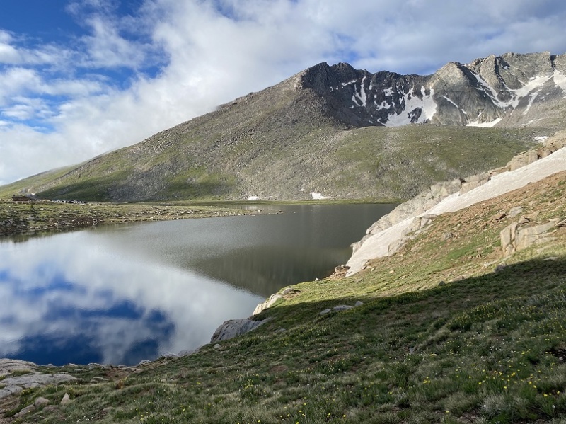
Once at Summit Lake, there was a class 1 trail that let me up to the summit of Mt Spalding
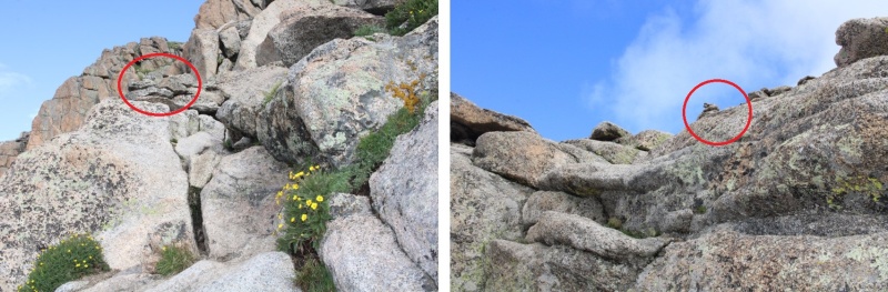
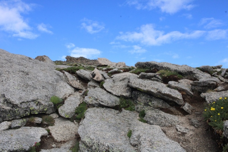
While this was class 1, there were a couple of quick class 3 scrambling moves. Large cairns made the route obvious
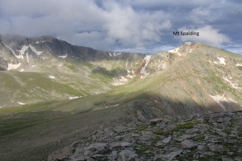
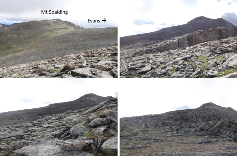
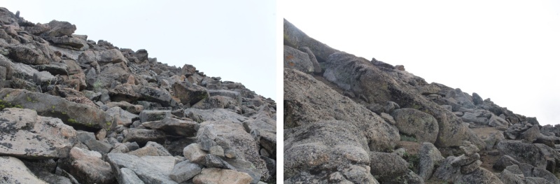
I continued following the ridge west towards the summit, on the class 1 trail
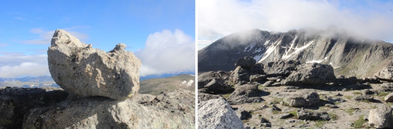
This rock is the summit block. I climbed it. The summit area (besides the block) is flat
I summited Mt Spalding at 8am
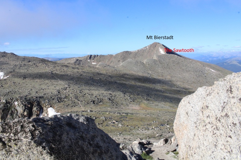
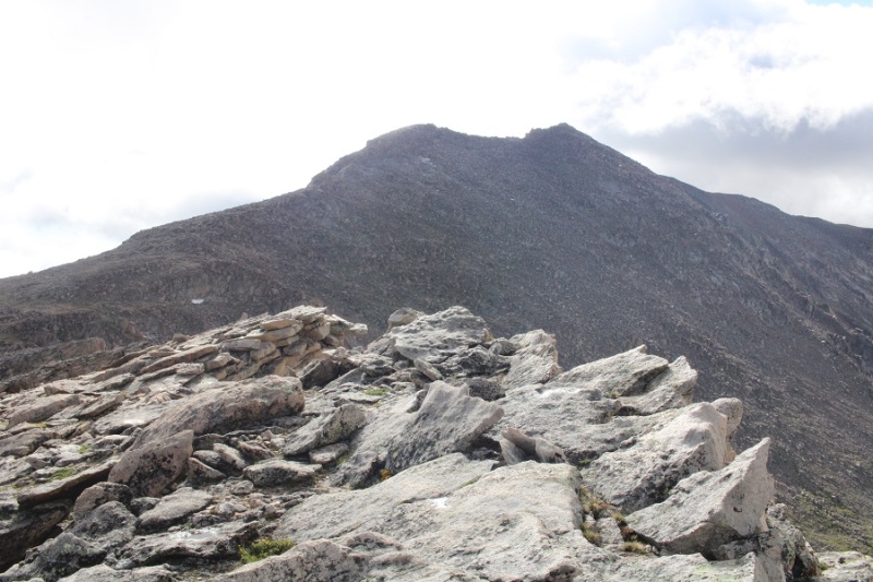
From Mt Spalding I could see my next objective to the southwest: The Sawtooth
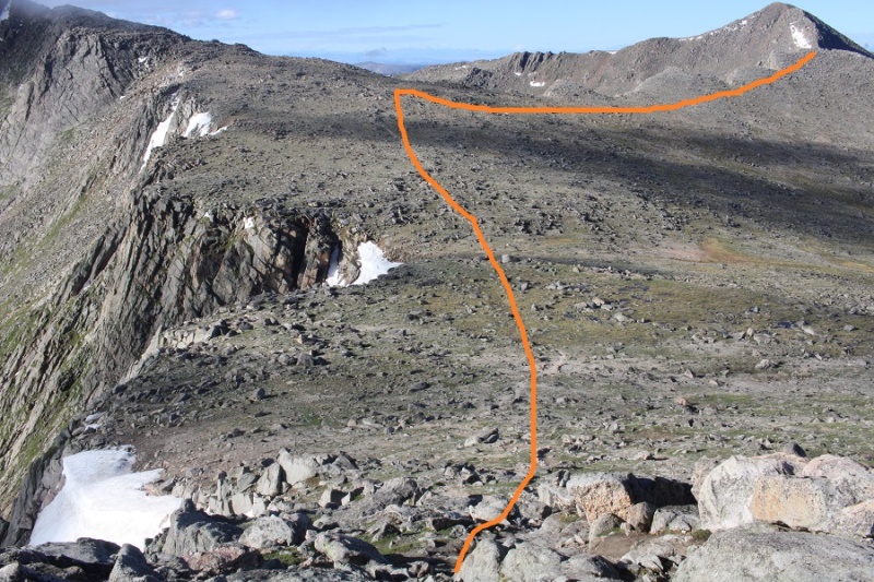
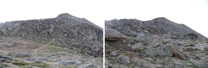
I continued following the class 1 trail south towards Mt Evans, but once I hit the ridge to The Sawtooth I left the trail and headed west. Here’s my overall route
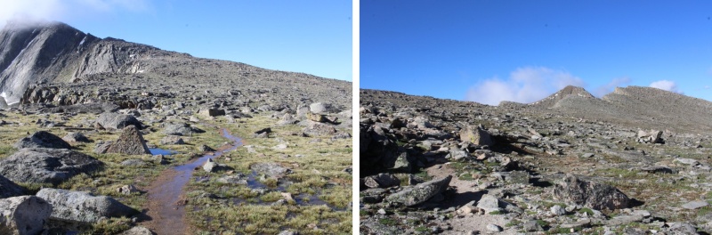
And some step-by-step pictures
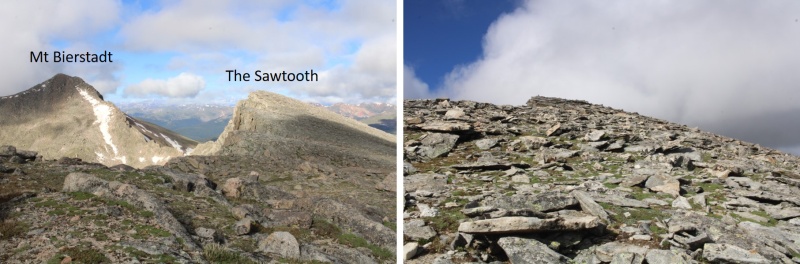
I summited The Sawtooth at 8:35am
From The Sawtooth I could see Mt Evans to the east (actual summit hidden)
I made my way back to the Class 1 trail
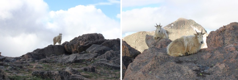
I was still off trail, but just before linking back up with the actual trail I came upon a couple of mountain goats. They didn’t seem to mind my taking their picture. I never would have seen them if I’d been 50 feet away, on the actual trail.
Now back on the trail, I followed it southeast
I came to a small saddle, and while there are cairns on the other side, the true trail descends the gully a few feet, and picks up below. There are cairns to indicate this way as well
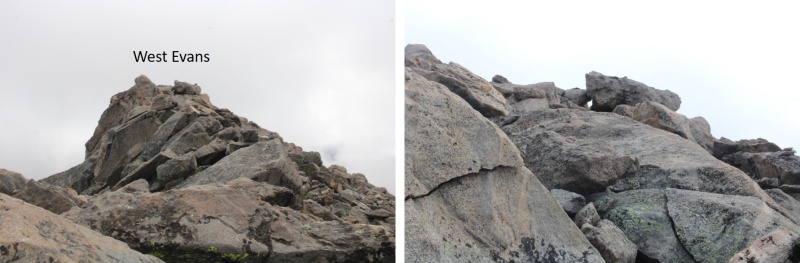
I followed the cairns southwest, until I made it to 14175’. I then left the trail, put on my helmet, and aimed for the ridge, and West Evans above. This was all easy class 3
I summited West Evans at 9:25am
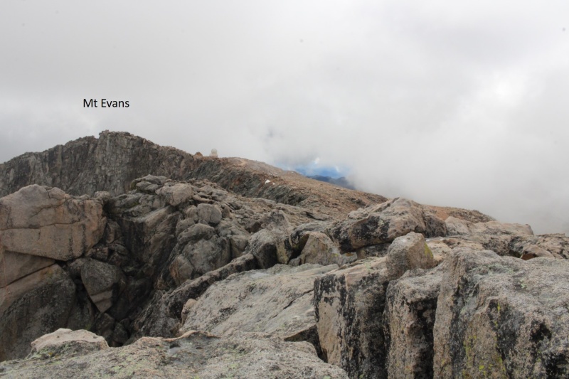
From West Evans I could see the summit of Mt Evans to the east.
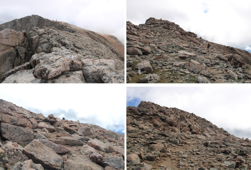
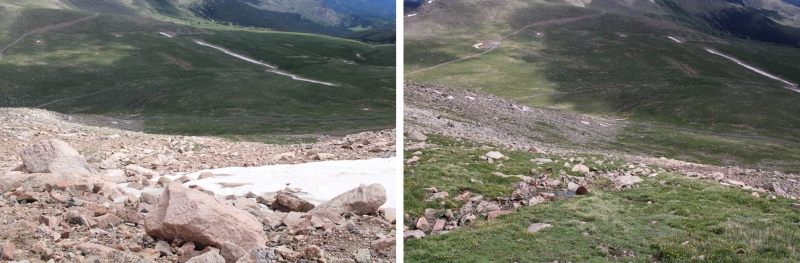
I descended back to the class 1 trail, and followed it east to the summit of Mt Evans
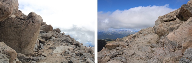
Just before the summit I followed the large switchbacks to the summit
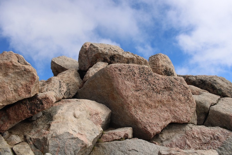
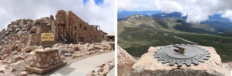
This is the actual summit of Mt Evans. I still had on my helmet, so I scrambled up.
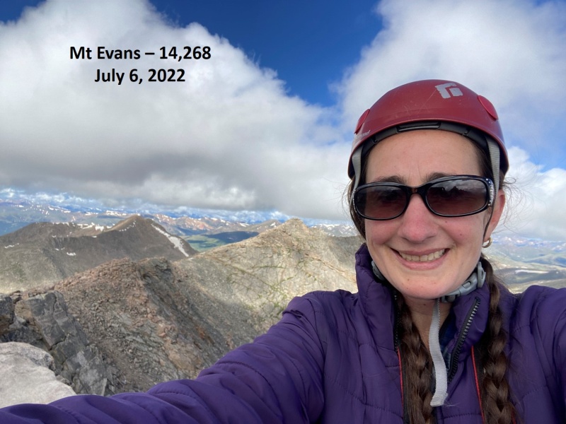
I summited Mt Evans at 9:40am
Mt Evans:
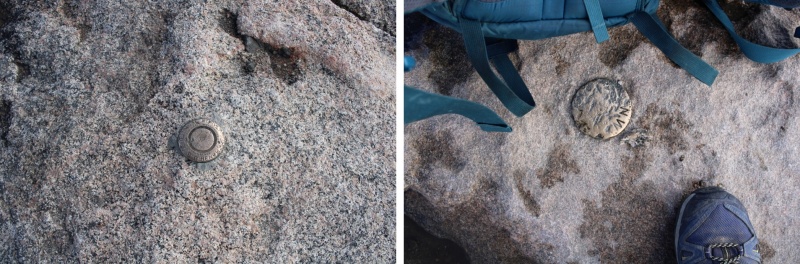
There were summit markers… not on the summit
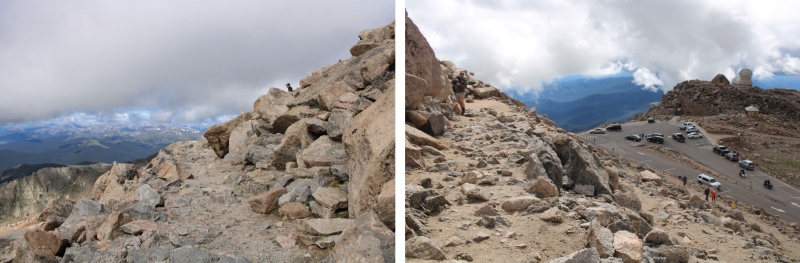
And tons of tourists. Time to head down. I made my way back down the switchbacks, and headed east to the summit house
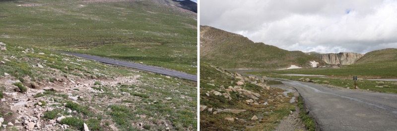
Once at the summit house I continued northeast, back down to the road below. At times there was a well-defined trail here
Back on the road, I followed it north to Summit Lake, and my truck
I made it back to my truck at 10:30am, making this a 10.28 mile hike with 3263’ of elevation gain I 5 hours, 45 minutes.
On to the next trailhead!
Thumbnails for uploaded photos (click to open slideshow):
Once you get the permit, I gather it is not necessary to check in at the gate if you are there outside of operating hours? Is that right? Thanks for your many reports, appreciate the beta.
Because I was there before hours no one was there to check me in. I placed my permit on my dash and was fine. As I left there was a line to get in, and they were checking permits.
Caution: The information contained in this report may not be accurate and should not be the only resource used in preparation for your climb. Failure to have the necessary experience, physical conditioning, supplies or equipment can result in injury or death. 14ers.com and the author(s) of this report provide no warranties, either express or implied, that the information provided is accurate or reliable. By using the information provided, you agree to indemnify and hold harmless 14ers.com and the report author(s) with respect to any claims and demands against them, including any attorney fees and expenses. Please read the 14ers.com Safety and Disclaimer pages for more information.
Please respect private property: 14ers.com supports the rights of private landowners to determine how and by whom their land will be used. In Colorado, it is your responsibility to determine if land is private and to obtain the appropriate permission before entering the property.


")
")
")
")
")
")
")
")
")
")
")
")
")
")
")
")
")
")
")
")
")
")
")
")
")
")
")
")
")
")
")
")
")
")
")
")
")
")
")
")
")