Download Agreement, Release, and Acknowledgement of Risk:
You (the person requesting this file download) fully understand mountain climbing ("Activity") involves risks and dangers of serious bodily injury, including permanent disability, paralysis, and death ("Risks") and you fully accept and assume all such risks and all responsibility for losses, costs, and damages you incur as a result of your participation in this Activity.
You acknowledge that information in the file you have chosen to download may not be accurate and may contain errors. You agree to assume all risks when using this information and agree to release and discharge 14ers.com, 14ers Inc. and the author(s) of such information (collectively, the "Released Parties").
You hereby discharge the Released Parties from all damages, actions, claims and liabilities of any nature, specifically including, but not limited to, damages, actions, claims and liabilities arising from or related to the negligence of the Released Parties. You further agree to indemnify, hold harmless and defend 14ers.com, 14ers Inc. and each of the other Released Parties from and against any loss, damage, liability and expense, including costs and attorney fees, incurred by 14ers.com, 14ers Inc. or any of the other Released Parties as a result of you using information provided on the 14ers.com or 14ers Inc. websites.
You have read this agreement, fully understand its terms and intend it to be a complete and unconditional release of all liability to the greatest extent allowed by law and agree that if any portion of this agreement is held to be invalid the balance, notwithstanding, shall continue in full force and effect.
By clicking "OK" you agree to these terms. If you DO NOT agree, click "Cancel"...
I figured since most of the beta about the Tour de Abyss is ~10 years old, it was time for an updated trip report. We climbed this yesterday (7/5/2022) and boy was it a blast.
We left at about 330 am from Denver, making it to the summit of Mt. Evans at 5am for a 5:30 start. I HIGHLY recommend leaving your car at the Evans summit lot instead of the switchbacks. Walking down made a good warmup, and by the time we finished with Evans we got to hop right in the car and go, instead of walking another mile down to the car.
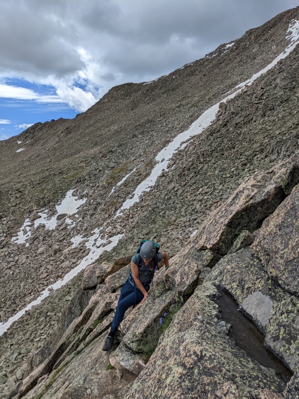
After walking down to the switchback at 13300, we found our gully to descend. As the other reports say, we descended into the Abyss lake area at the lowest point in the saddle. Do NOT descend the gully with the wooden post. Go to the left of that, and there is a much safer gully to descend. We stayed mostly to the left, and I think we chose the safest route down after looking back from the basin.
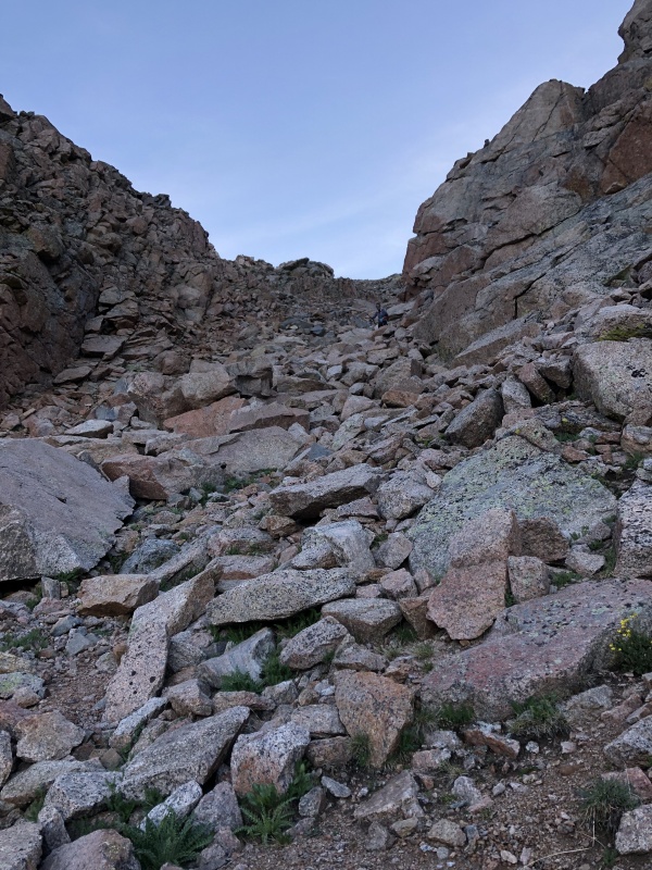
Descending the gully at 13,300' off the road
Looking down the gully, looking directly at your next ascent. Bierstadt summit off to the farmost right, with the other points to climb ahead.
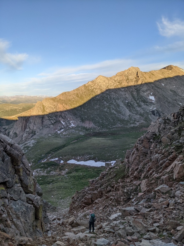
From here, you traverse straight through the valley to the wall in front of you. It looks steeper than it is. Head straight up to the left of the notable rock formations. Those are your next obstacles, and the most fun you'll have all day.
From the ridge, head up and over PT 13,641'. Traverse to the right of the formation along the grassy ledges where you will see 3 cairns to guide you. Once you get to the last cairn on the grassy ledge, it's time to go left up the center. Pick your line, take your time and make sure your route finding skills are sharp. You can definitely keep it class 3, but there are class 4/5 options if you choose those lines.
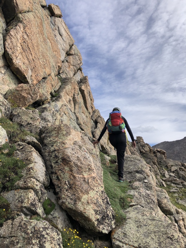
Monica on the grassy ledges looking for the next cairn
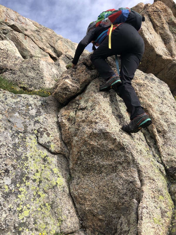
A more class 4/5 option we took.Working across PT 13,641'.
Past trip reports have outlined their exact routes with arrows over the photo, and we had screenshotted one of those to make the route finding a bit easier. Although with the cairns added and decent route finding skills, you will be fine. Once you summit this obstacle, the rest of your day will be a breeze. The route to Bierstadt after this is straightforward as you gain the summit. There is no trail, but the summit is easily visible so head up through the boulder field and send it. As always, you'll see not a soul on the Tour but once you gain the summit of Bierstadt it will feel like a zoo!
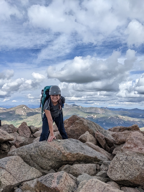
My first time summiting Mt. Bierstadt!
After Bierstadt, descend to the Sawtooth and work your way across. Staying higher on the Sawtooth will lead to more class 4/5 options, while following the cairns lower will be more class 2/3. There are so many cairns, the route is incredibly straightforward.
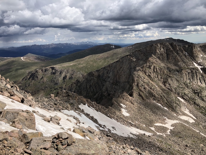
Looking at the Sawtooth from Bierstadt. Looks WAY more intimidating than it actually is!
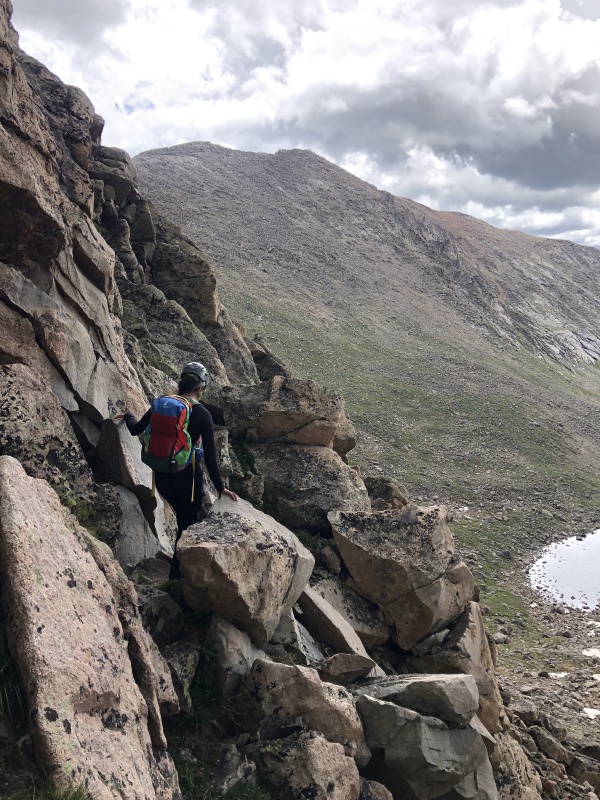
Monica working her way across the Sawtooth.
More Sawtooth fun. Large boulders with solid holds makes for easy scrambling.
Caption Here
The most difficult part of the Sawtooth by far is the exposed ledges. Some of it gets super narrow, about 10-12 inches (maybe less) across. The holds along the wall are solid, and just trust yourself. We took the route higher than the large ledge, but again there are so many cairns you pick your line and it is straightforward.
After that, work your way across the field, up toward Evans and around to get to the summit, where again you'll see hoards of people! We got caught in a hail/lightning storm around this time, so we sprinted to the summit and to our car, hence why there are no photos! All in all, we finished around 1pm with a 530am start. There was about 30 mins of hiding out from a hailstorm, but not a bad day! My watch clocked us at 8 miles, so not sure what we did to do 2 extra miles but oh well!
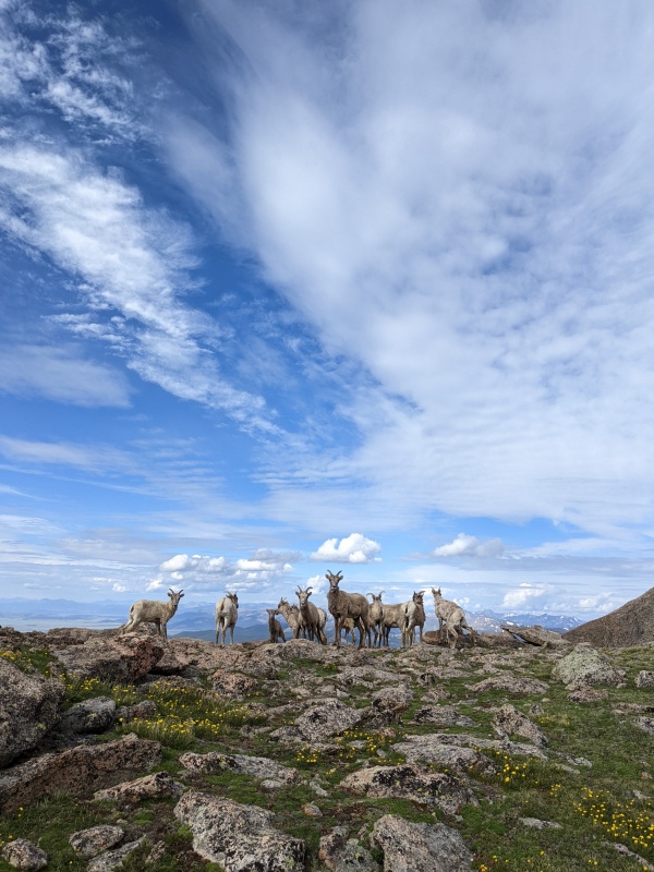
One of the benefits of Mt. Evans, so many sheep!
Thumbnails for uploaded photos (click to open slideshow):
True MrJohnnySpot! You do need a reservation and we had one! Our allotted time was until 10 am and we didn't finish until 1, but the very nice ranger did not ticket us:)
Yes, that's the correct gully at the start of the route!
I realize that in the route description, I don't mention the small trail that now exists off of the corner of the indicated switchback. I'll refine that wording a bit to make sure people don't simply take that trail to the first gully but rather continue down to the proper one.
I'll be headed there in a few days, nice to see it hasn't changed much since I wrote about it last year haha!
Caution: The information contained in this report may not be accurate and should not be the only resource used in preparation for your climb. Failure to have the necessary experience, physical conditioning, supplies or equipment can result in injury or death. 14ers.com and the author(s) of this report provide no warranties, either express or implied, that the information provided is accurate or reliable. By using the information provided, you agree to indemnify and hold harmless 14ers.com and the report author(s) with respect to any claims and demands against them, including any attorney fees and expenses. Please read the 14ers.com Safety and Disclaimer pages for more information.
Please respect private property: 14ers.com supports the rights of private landowners to determine how and by whom their land will be used. In Colorado, it is your responsibility to determine if land is private and to obtain the appropriate permission before entering the property.


")
")
")
")
")
")
")
")
")
")
")
")
")
")
")
")
")
")
")
")
")


