Download Agreement, Release, and Acknowledgement of Risk:
You (the person requesting this file download) fully understand mountain climbing ("Activity") involves risks and dangers of serious bodily injury, including permanent disability, paralysis, and death ("Risks") and you fully accept and assume all such risks and all responsibility for losses, costs, and damages you incur as a result of your participation in this Activity.
You acknowledge that information in the file you have chosen to download may not be accurate and may contain errors. You agree to assume all risks when using this information and agree to release and discharge 14ers.com, 14ers Inc. and the author(s) of such information (collectively, the "Released Parties").
You hereby discharge the Released Parties from all damages, actions, claims and liabilities of any nature, specifically including, but not limited to, damages, actions, claims and liabilities arising from or related to the negligence of the Released Parties. You further agree to indemnify, hold harmless and defend 14ers.com, 14ers Inc. and each of the other Released Parties from and against any loss, damage, liability and expense, including costs and attorney fees, incurred by 14ers.com, 14ers Inc. or any of the other Released Parties as a result of you using information provided on the 14ers.com or 14ers Inc. websites.
You have read this agreement, fully understand its terms and intend it to be a complete and unconditional release of all liability to the greatest extent allowed by law and agree that if any portion of this agreement is held to be invalid the balance, notwithstanding, shall continue in full force and effect.
By clicking "OK" you agree to these terms. If you DO NOT agree, click "Cancel"...
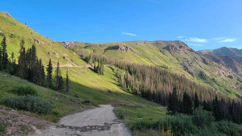
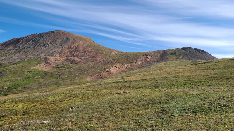
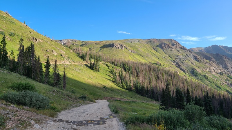
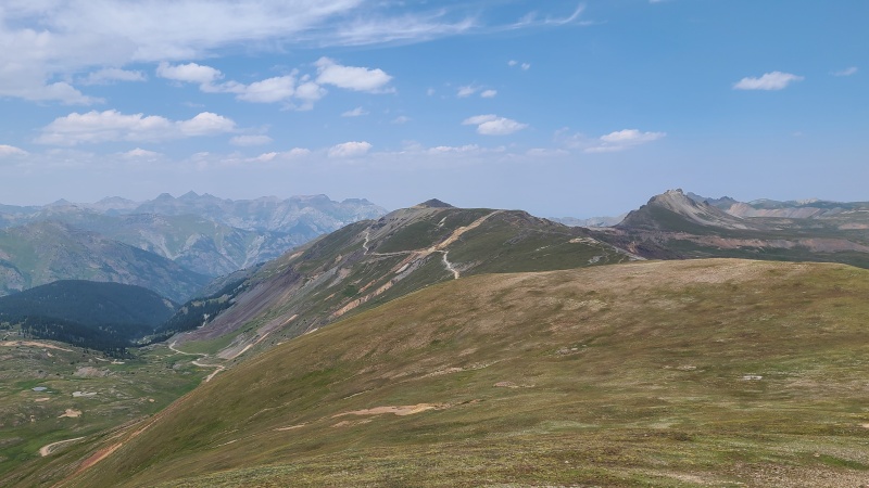
The day before I had climbed Point 13,427, Point 13,540, "C.T. Peak", and "Gudy Peak", and from there made my way up to where Hinsdale County Road 30 splits to American Basin and Cinnamon Pass. I found a pull-off just beyond this junction and slept in the van. I probably could have driven it up to Cinnamon Pass (someone drove what looked like a Chevy Astro up to the pass from the Lake City side, to my amazement) but I didn't want to beat it up too bad and wasn't sure if I'd get stuck at any of the switchbacks. Besides, hiking extra road isn't much extra work. I left at around 7:40am, after sleeping in for an hour. I rarely find that sleeping in wasn't worth it. The road quickly took me to just below the pass, where I departed on dirt and grass towards my first peak of the day, Wood Mountain A.
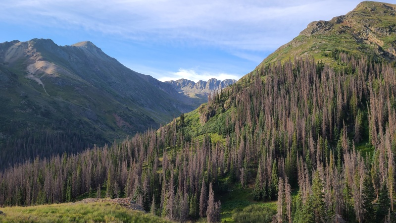
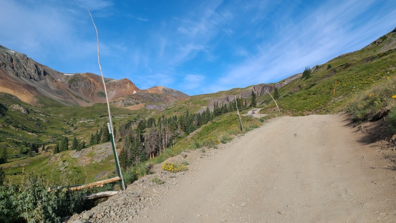
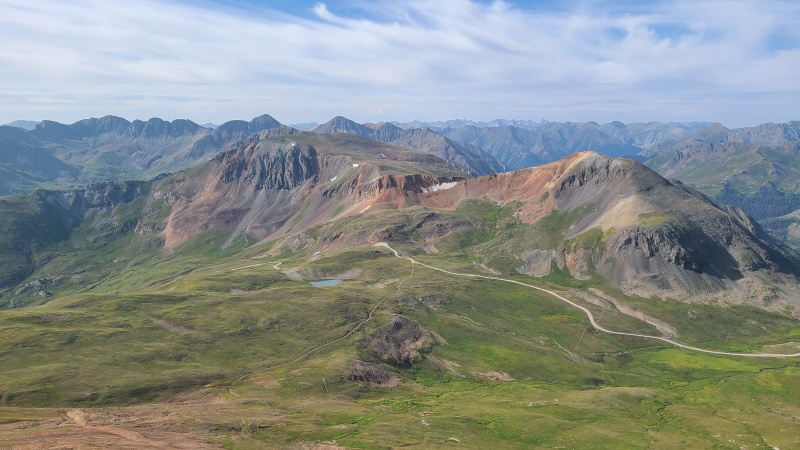
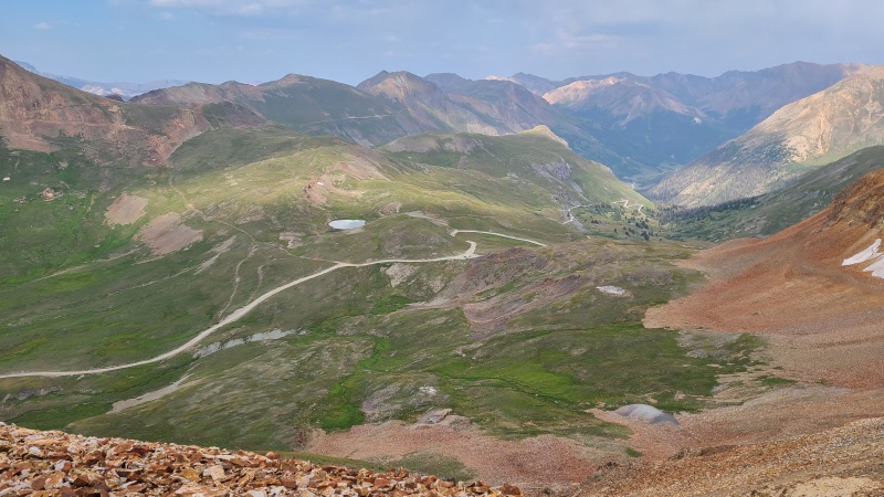
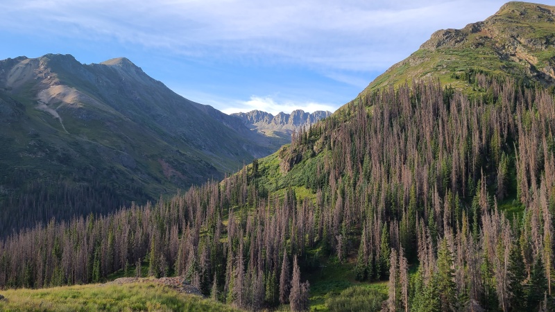
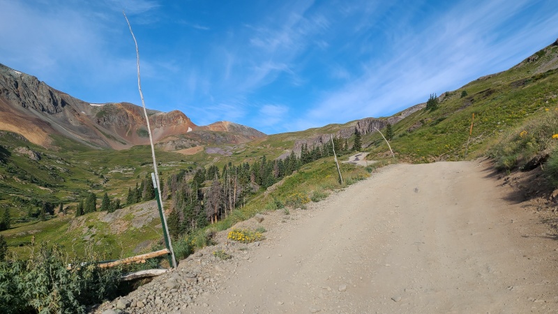
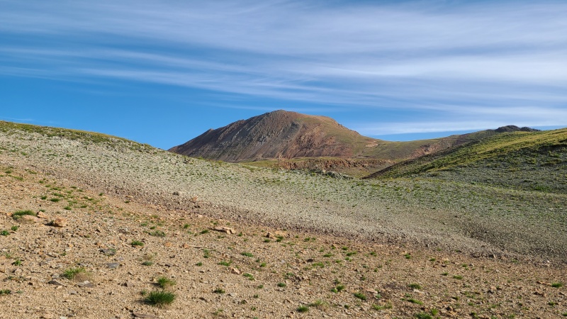
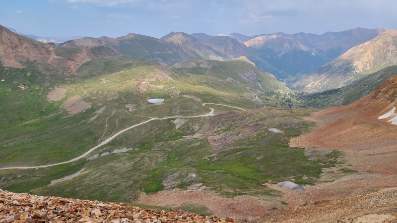
Start of County Road 12 (immediate foreground) to American Basin, with the road to Cinnamon Pass and Lake City on left and right, respectively.Handies Peak and American Basin.Starting up the steep road to Cinnamon Pass. It looks graded but there's large rocks, potholes, and other obstacles along the way.Wood Mountain A.
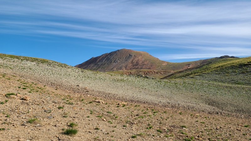
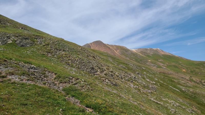
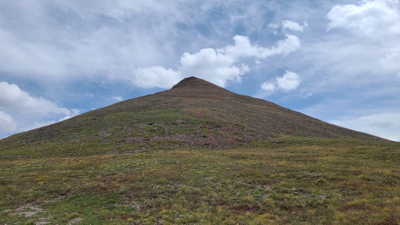
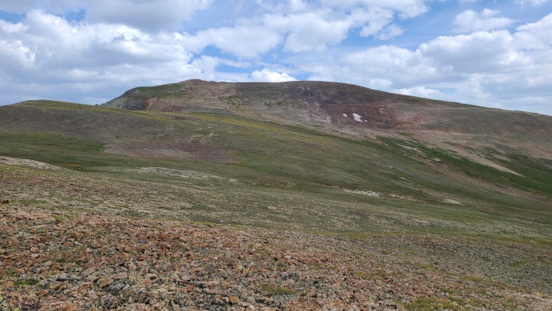
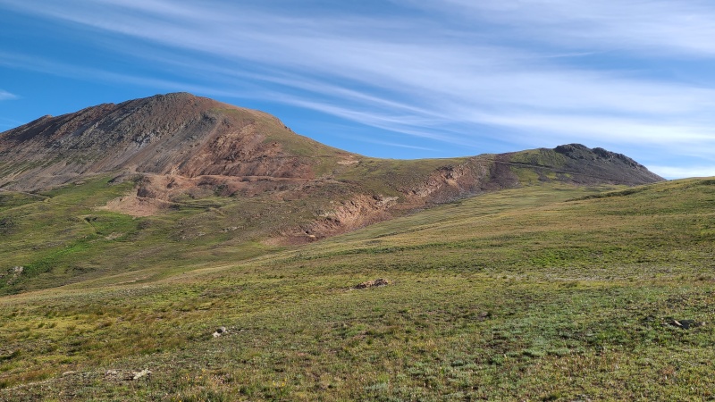
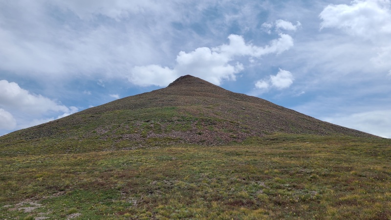
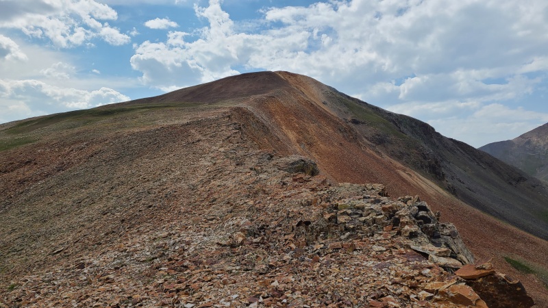
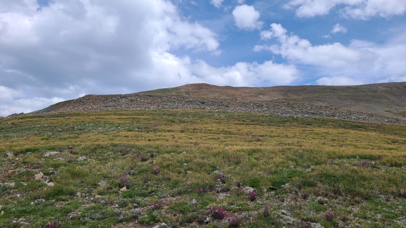
Wood Mountain A really wasn't much of a peak and had easy Class 2 access, mostly on grass with a bit of talus and dirt near the top.
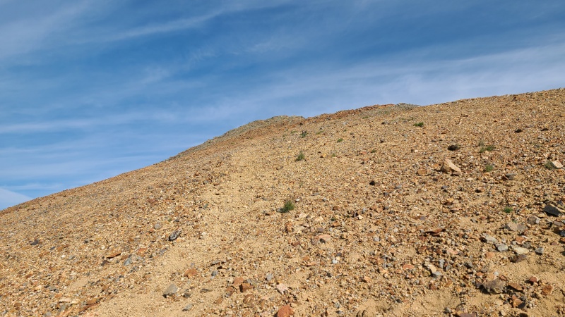
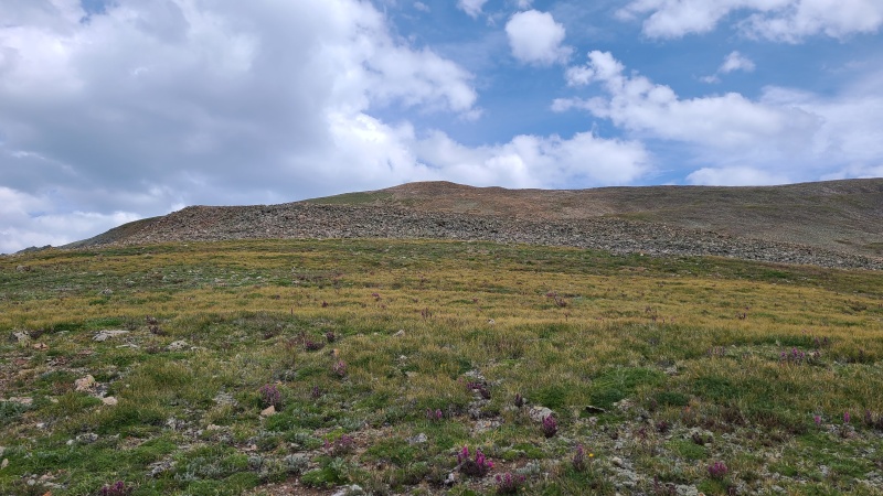
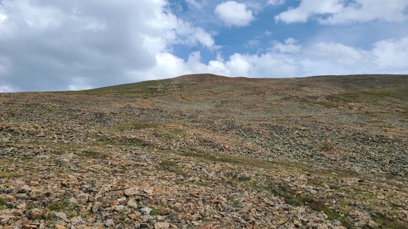
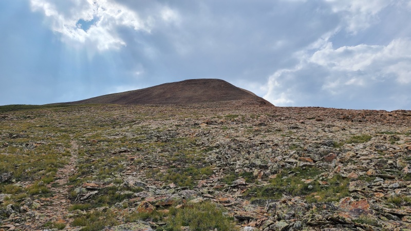
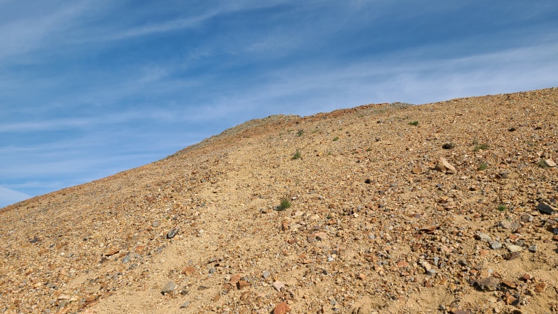
Easy and obvious route up Wood.Junky near the top, but with a trail.
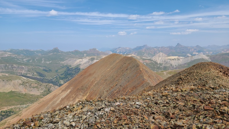
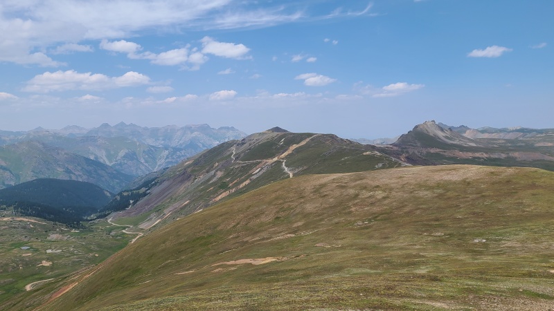
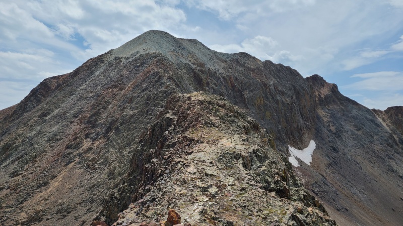
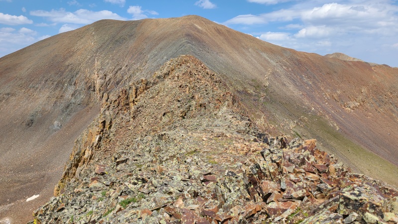
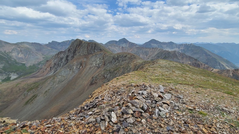
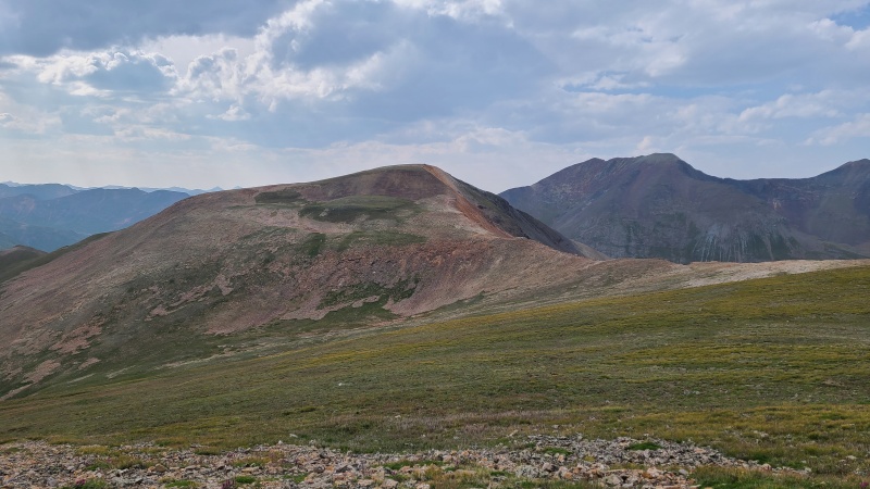
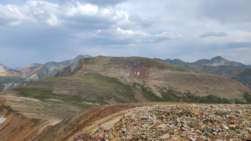
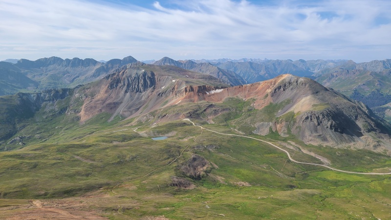
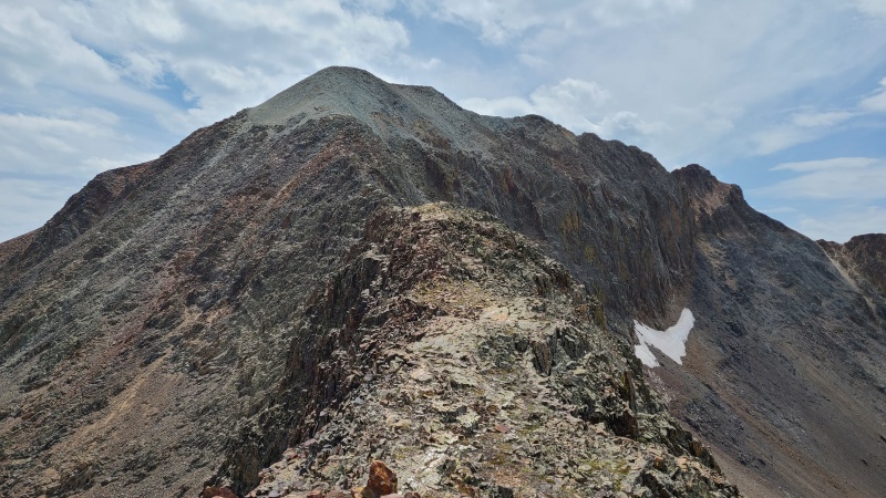
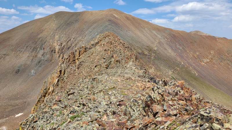
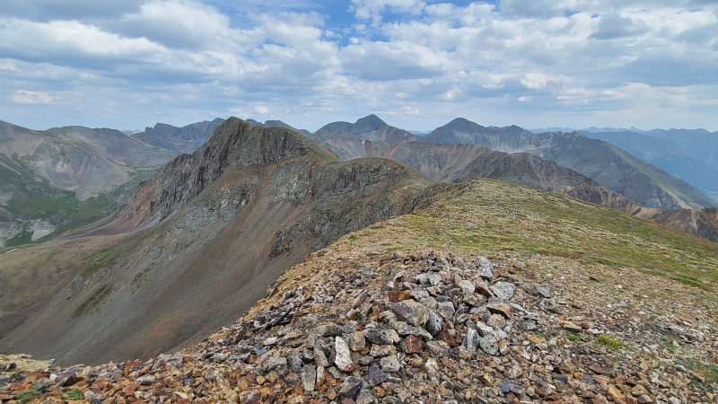
From Wood's summit I got an eyeful of what I had hoped would be my next peak, Point 13,688. The connecting ridge was less than desirable looking.
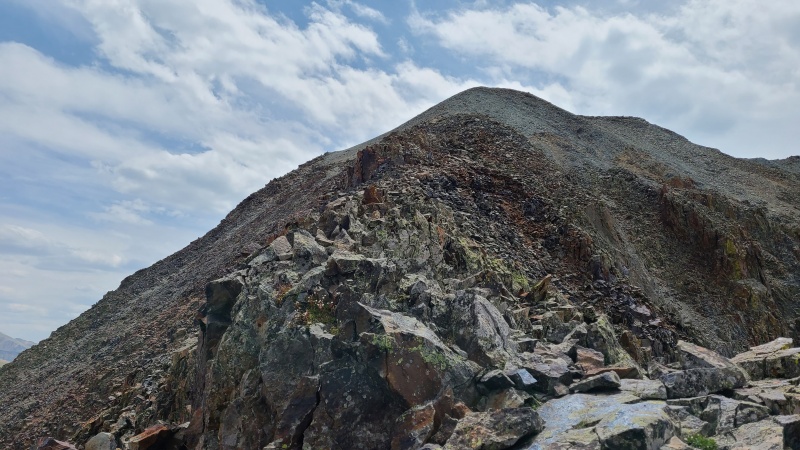
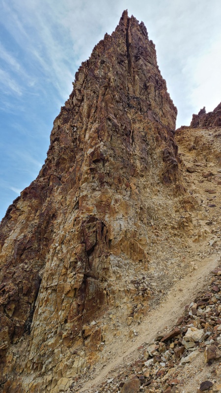
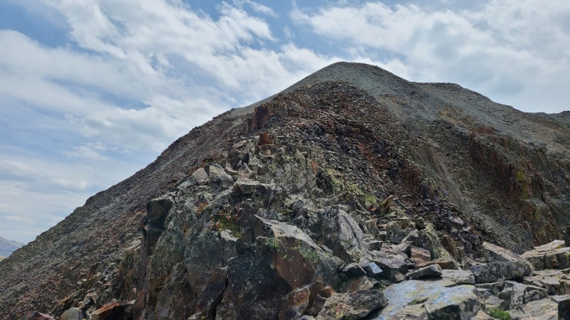
Ridge to 13,688. Plenty of towers and the rock looks horrible.Ridge to "Animas Forks Mountain" (left) and Point 13,708.Cinnamon Pass with Point 13,535 and Cinnamon Pass on left and right, respectively.East towards the peaks I had done the previous day.
I descended the ridge west on what was not permanently junky rock. It was abundantly clear I wasn't going directly to 13,688.
Yeah, no.
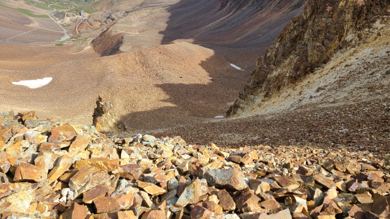
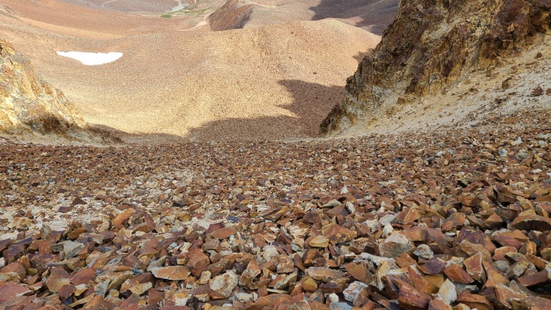
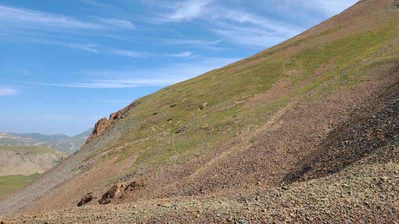
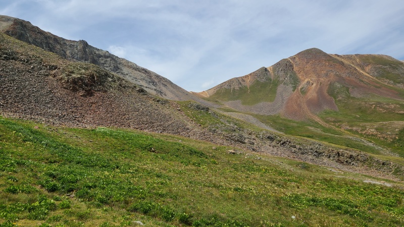
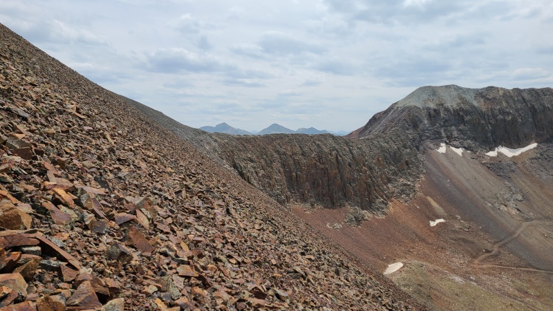
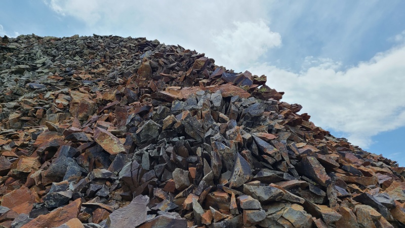
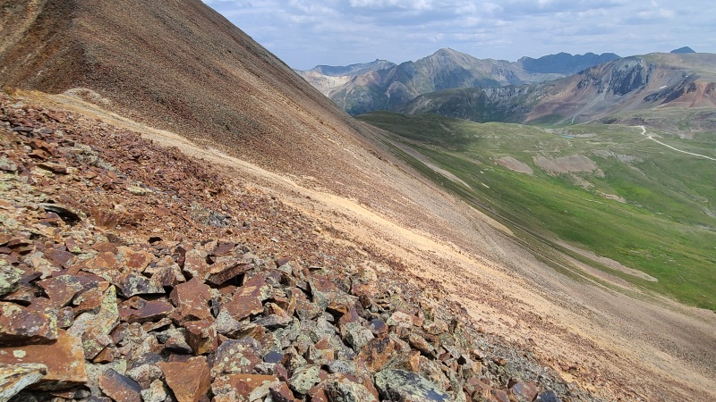
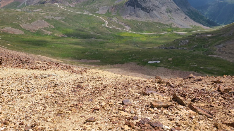
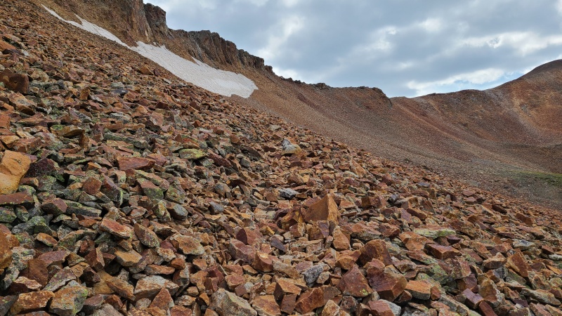
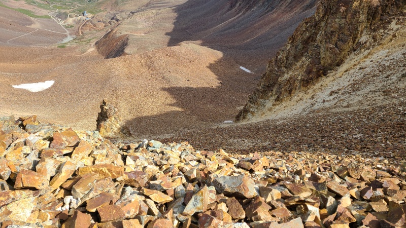
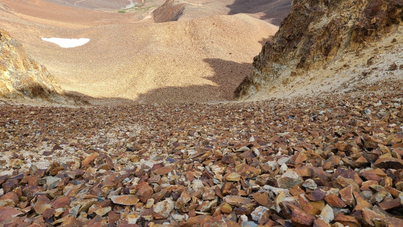
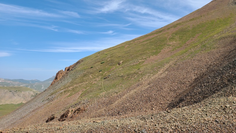
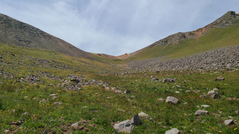
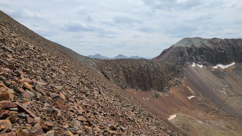
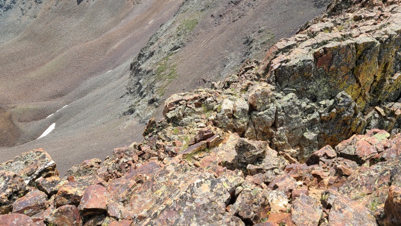
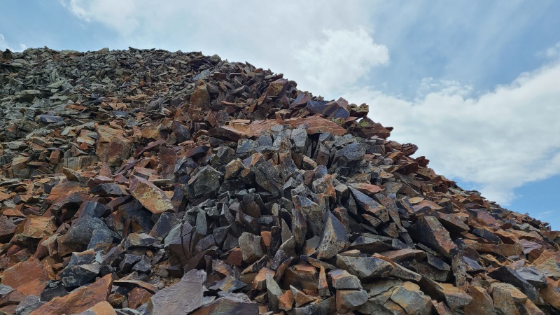
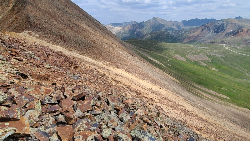
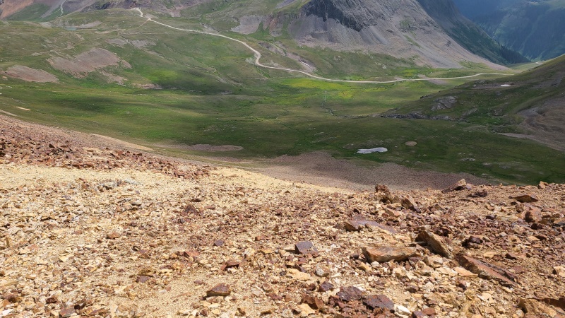
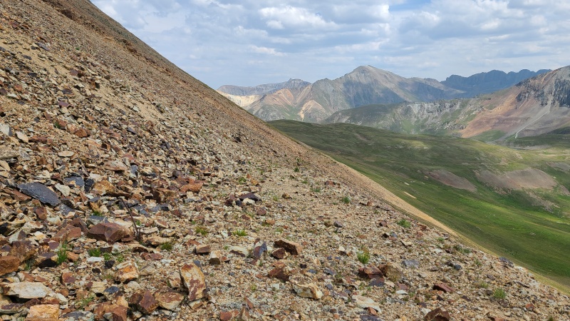
I went just a bit further west to a small saddle and began dropping north into Hurricane Basin. The rock here was steep and prone to causing small rockalanches, so caution was needed, but at least it wasn't as bad as the ridge would have been.
Looking down from the ridge.Incredibly annoying.Boy howdy!
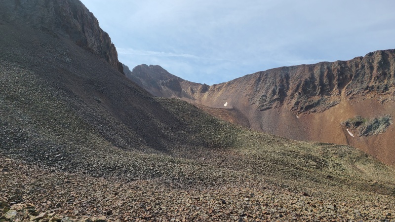
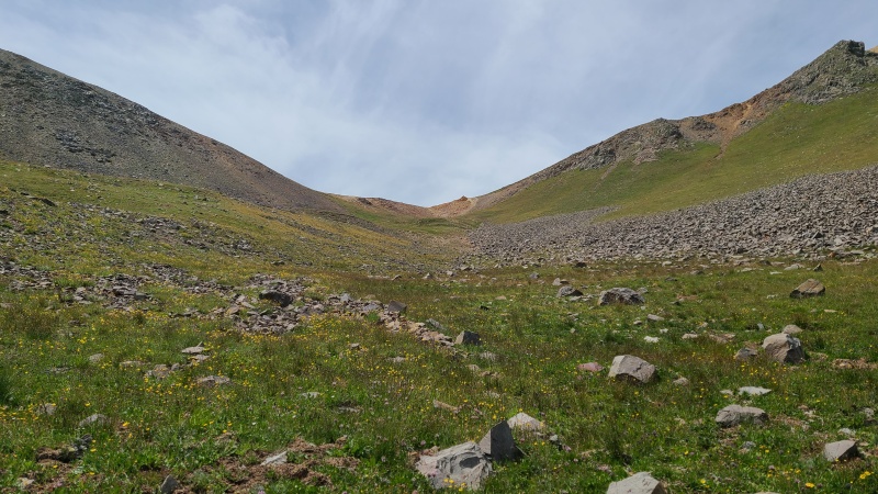
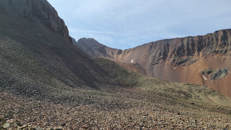
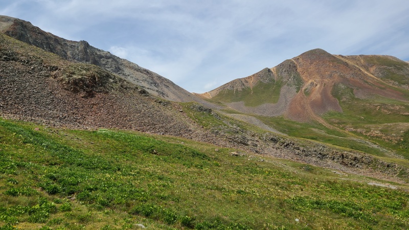
I had little trouble getting into the basin, but it was slow going, and I hoped this would be the worst of it for the day. Spoiler alert: this was the worst of it for the day. Once I was in the basin I began heading towards Gravel Mountain A's southwest slopes, which looked far more reasonable than attempting to gain the ridge somewhere past the difficulties, if such a thing were even possible.
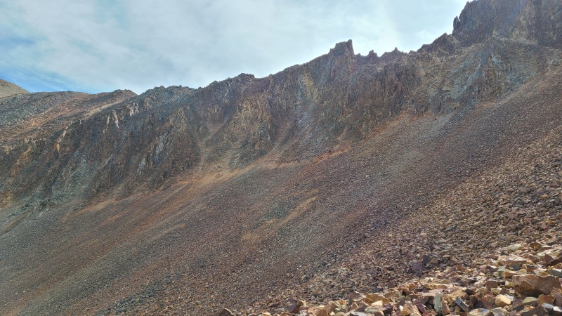
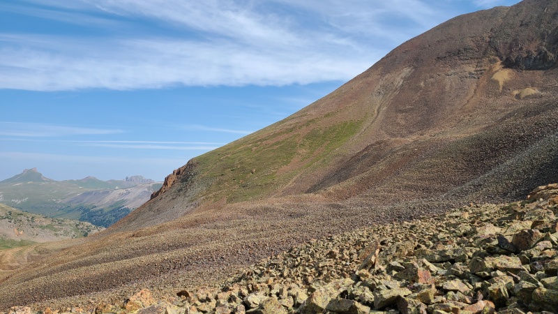
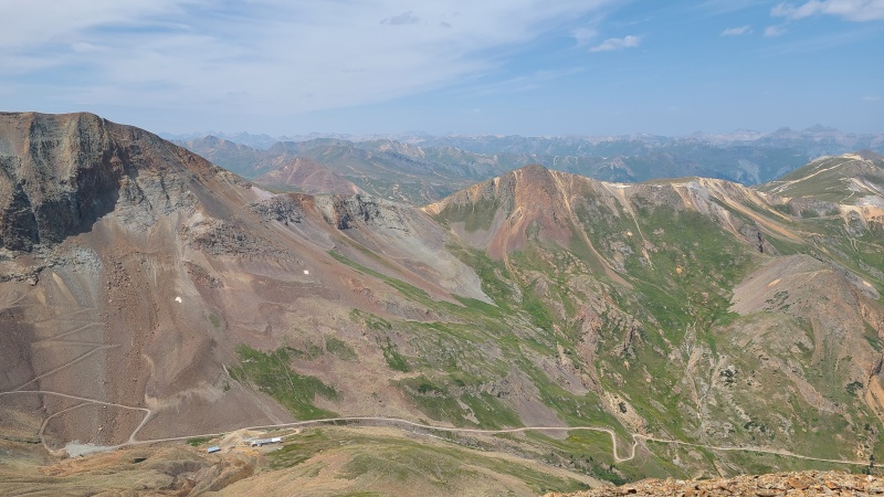
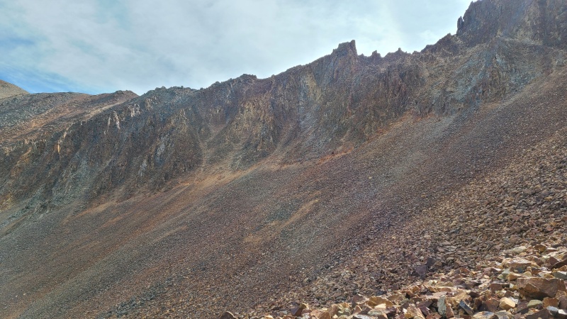
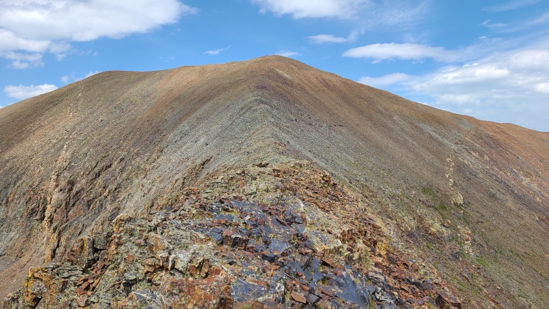
Allegedly there's a Class 3 route up to the ridge, but I suspect it's terrible and not worth the effort.Gravel's southwest slopes.Closer shot showing several of the trails crisscrossing Gravel.
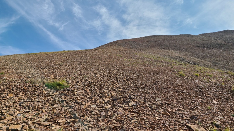
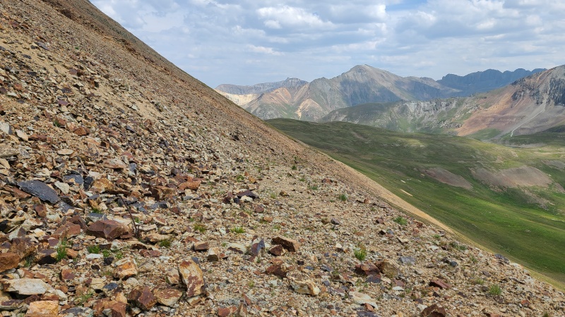
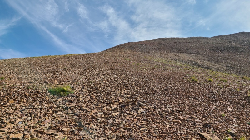
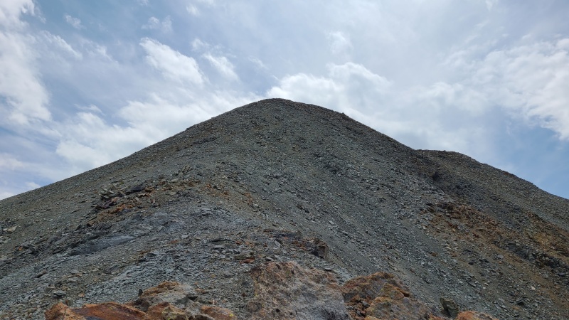
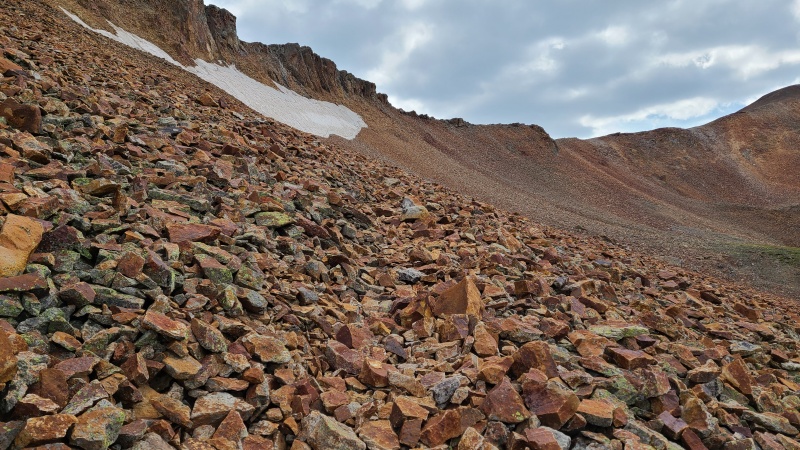
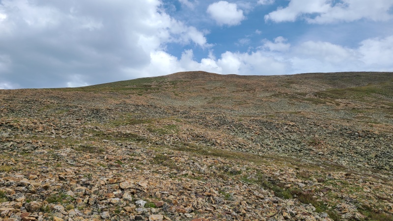
The entirety of Hurricane Basin all the way to gravel was a mess of loose talus, and I was glad to soon be on grass. Sort of. The grass barely lasted a few minutes and then returned to steep, loose talus and scree. There were trail segments that took me up to Gravel's summit, at least, though even they were a bit unpleasant. Still, better than nothing!
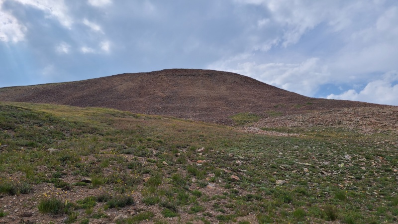
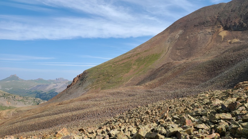
Looking back across Hurricane Basin with Wood on the left of the saddle.Slopes up Gravel.
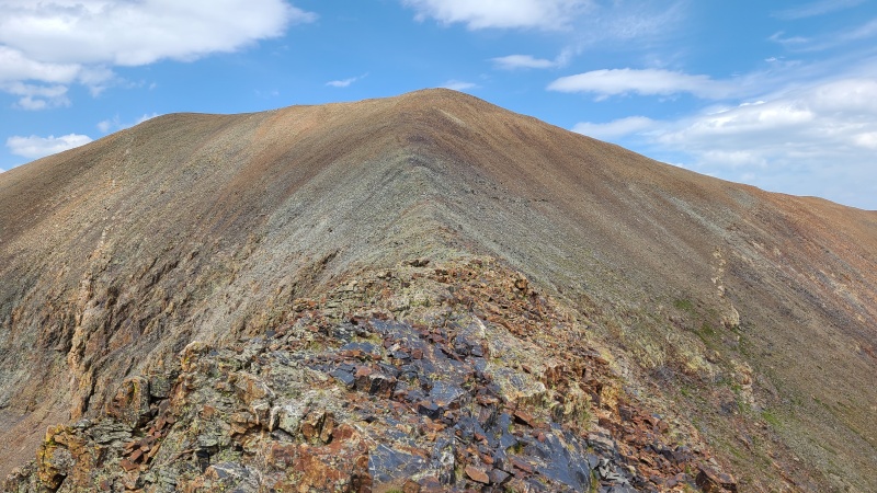
Gravel was nonetheless easy, and I quickly huffed and puffed up the Class 2 slope to the summit. From Gravel I was happy to see that the north ridge of 13,688 would be a walk. The loss of elevation and trash rock I encountered was worth it to avoid the south ridge.
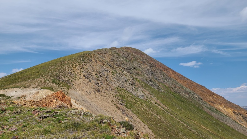
13,688. The trail is visible just below the ridge.13,688. Nothing sketchy on this half of the peak.
The trail to 13,688 was very welcome, and better than those that had taken me up Gravel. Along the way a small outcrop blocked a direct path along the ridge, but this was easily bypassed on the left (east) on a Class 2 ledge.
The ledge bypass around what might have been an easy scramble.Summit of 13,688.Ridge back to Wood.Gravel and the Cimarron. Gravel isn't quite as steep as it appears.
After a couple minutes on 13,688 I returned to Gravel. There was no easier way than back from where I came.
Ledge system bypass on the way back.
Next up was Seigal Mountain, which was across Hurricane Basin. From Gravel's summit the easiest way up Seigal appeared to be to hike to Denver Pass, between Seigal and Point 13,708, then make another out-and-back to the former. I'd be making out-and-backs all day!
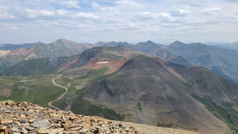
Hurricane Basin with 13,708 on left and Seigal on the right. I could stay mostly on grass to Denver Pass (the yellow-ish saddle left of Seigal).
The scree ski down Gravel went quickly, and I was pleased to see a group of OHVers departing the mine ruins high in Hurricane Basin, leaving it all to me. The mine ruins were a bit out of my way so I didn't bother checking them out, instead continuing on to grass as quickly as I could.
Siegal after crossing the road.
The terrain here was downright pleasant after spending a few hours on total garbage, and as I approached Denver Pass I made sure to milk it, sticking to grass all the way to the pass even if it was a bit farther, since it avoided talus closer to Seigal.
Denver Pass and the oh-so-nice terrain en route.Getting closer. I climbed to the left (south) side of the pass to avoid the rock near the little nubbin just right of the pass.
From Denver Pass it was a quick Class 2 hike up Seigal.
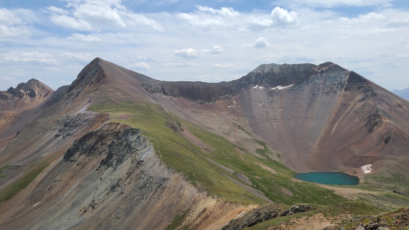
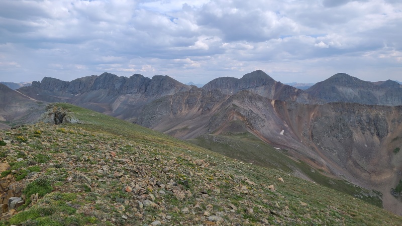
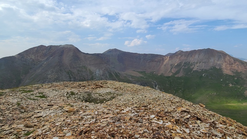
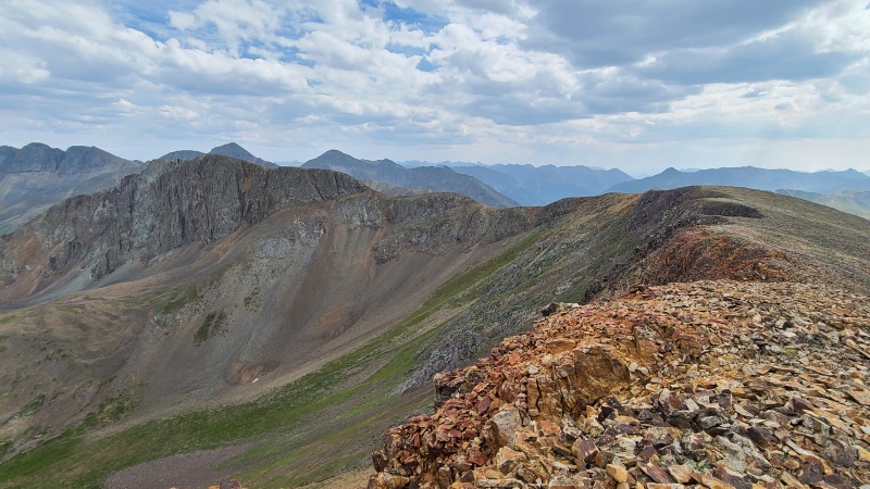
Seigal looking regal.Cimarron from Seigal, with the most prominent peaks being Darley Mountain, Wildhorse Peak, Coxcomb Peak, Wetterhorn Peak, and Uncompahgre Peak (left to right)Sneffels Range in the distance, Engineer Mountain A in center, and Darley Mountain on the right.Next two peaks to come: Point 13,708 and "Animas Forks Mountain". The lake has no name.
Seigal definitely had the best views of the day, and I thought would be the highlight of the hike. Little did I know that it wasn't actually the views that would be the best thing about the day. I drank in the Cimarron before continuing on to unranked Point 13,708, which was another easy Class 2 hike.
Nothing to write home about.
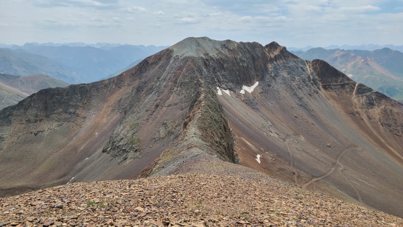
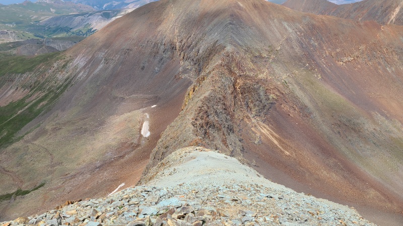
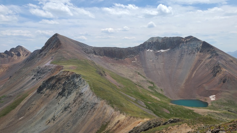
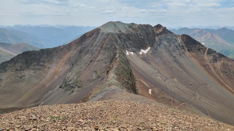
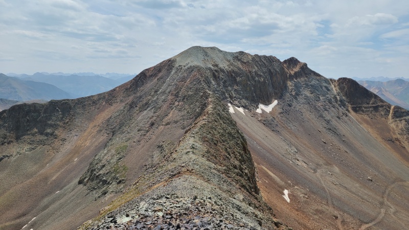
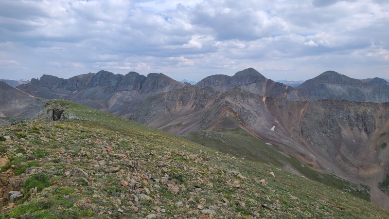
Along the way the ridge over to "Animas Forks Mountain" kept me intrigued. Its sheer walls were impossible to ignore, and the flat top seemed deceiving. Just what was this ridge like?
Hard? Easy? Knife edge? Catwalk? Super highway?
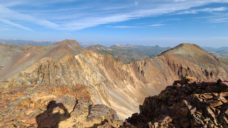
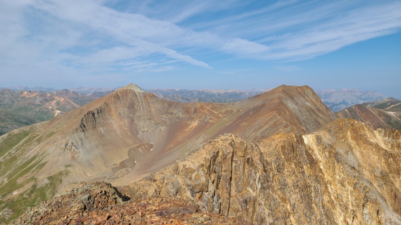
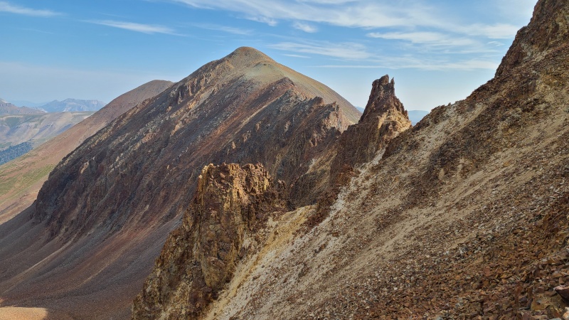
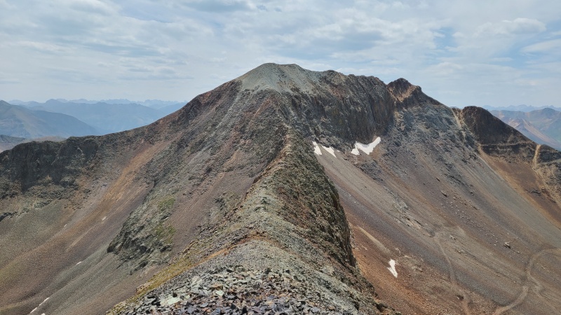
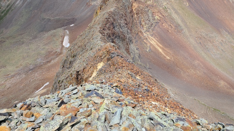
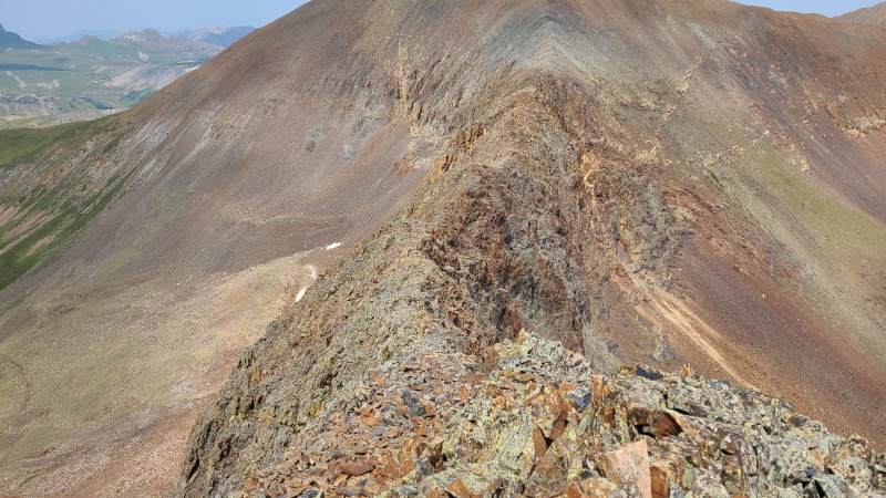
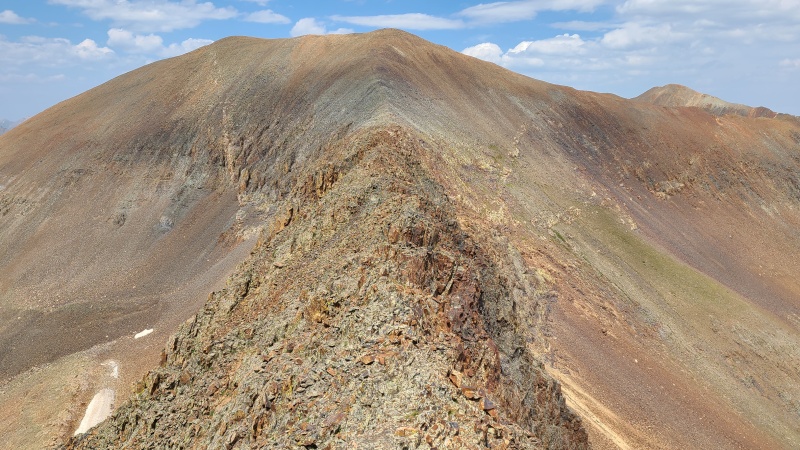
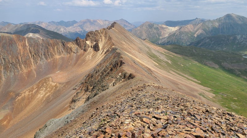
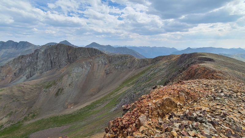
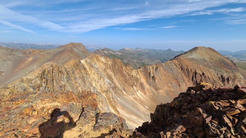
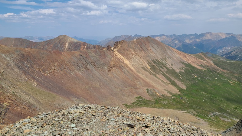
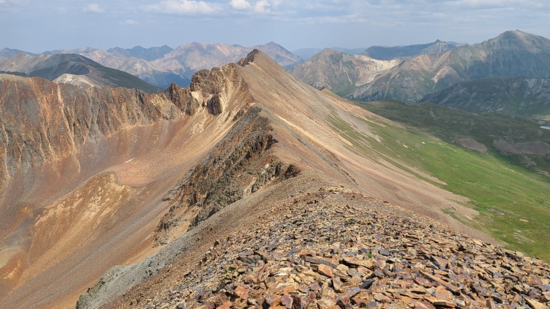
I continued to 13,708's summit since sidehilling across the steep, loose slopes to the ridge would probably take longer, and was faced with one of the most jawdropping ridges I've ever seen.
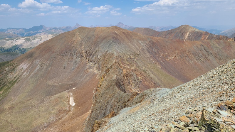
What a ridge!
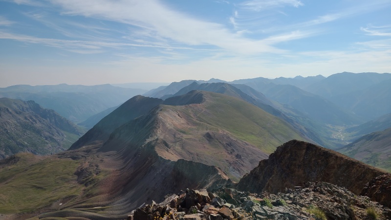
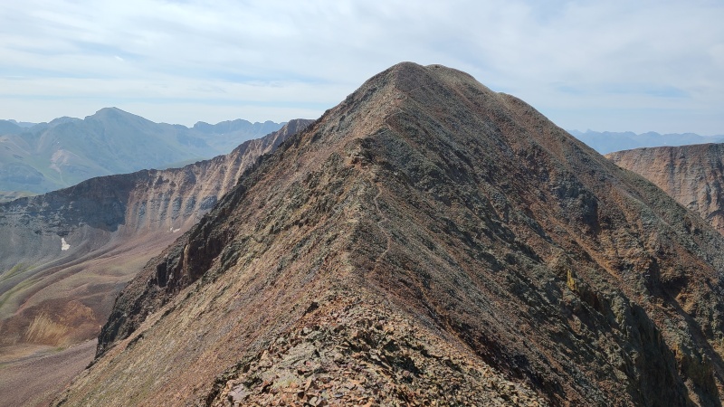
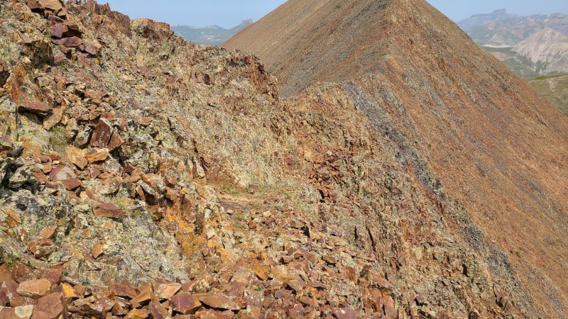
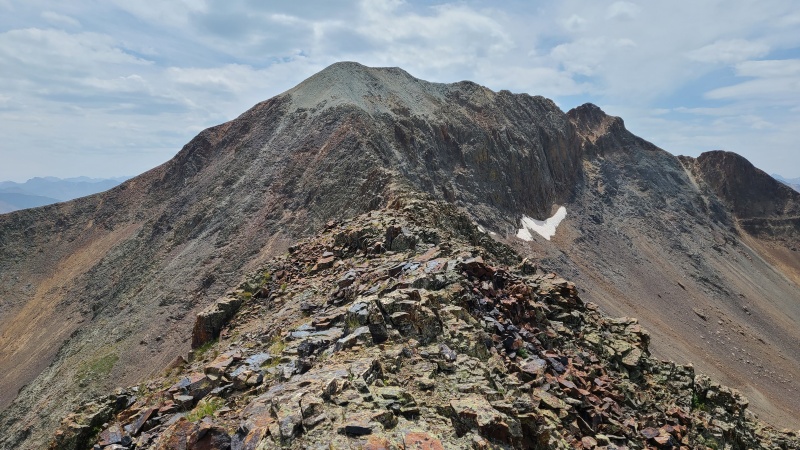
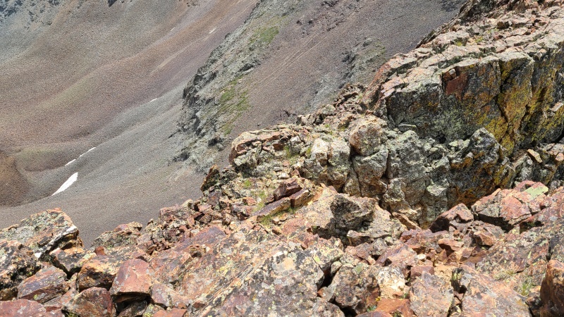
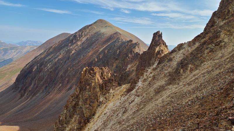
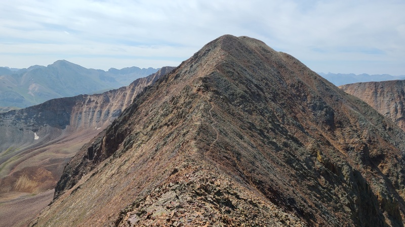
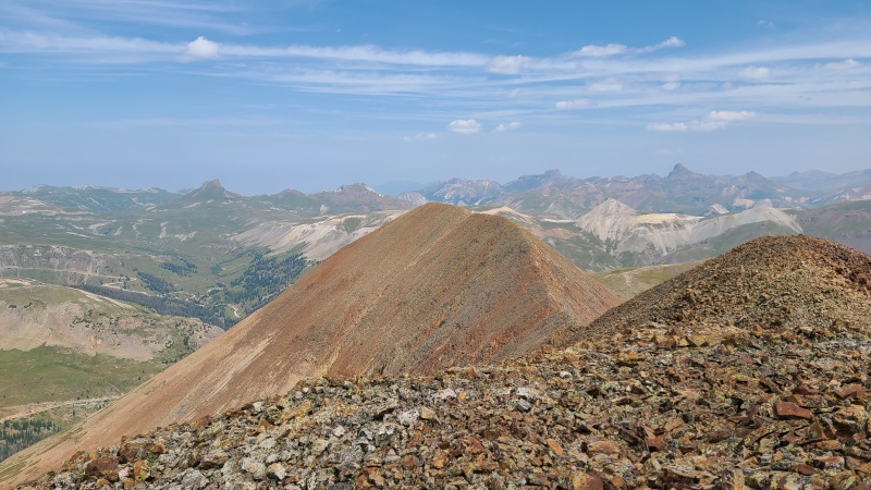
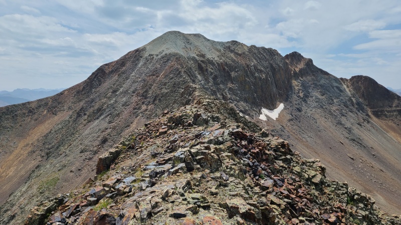
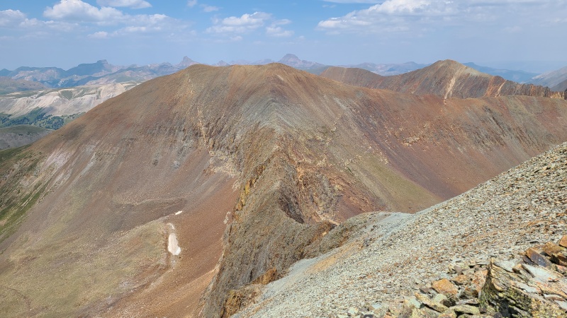
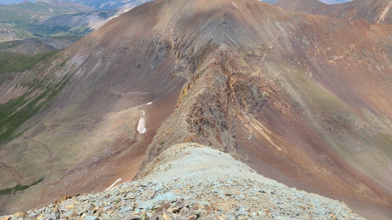
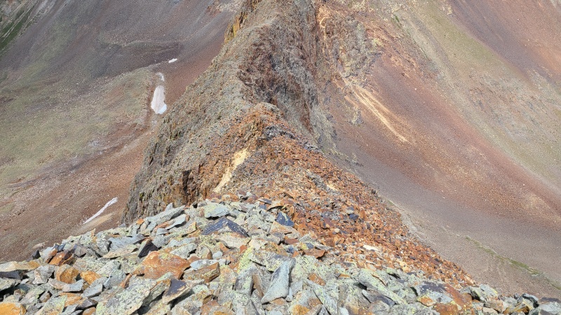
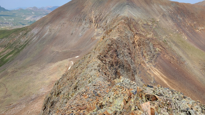
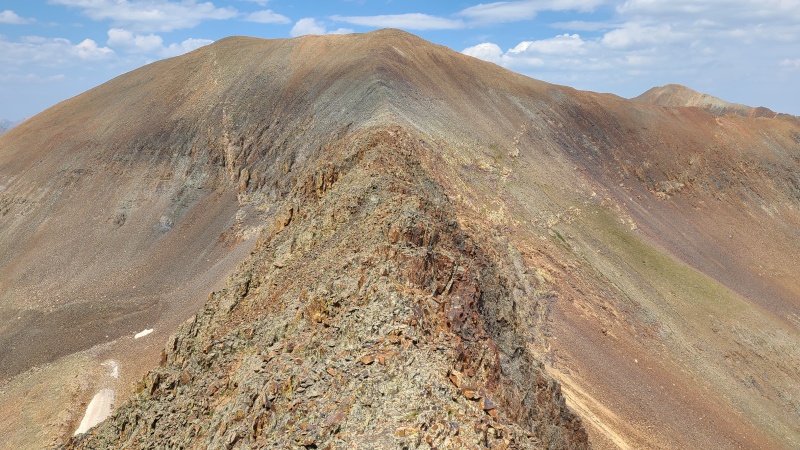
The Spanish word ánimas means soul or spirit, and this ridge has tons of both. It wasn't until I was on it that I could tell it was actually an easy crossing, though exposure on both sides of the ridge was severe.
Skywalk of Souls.Color pops.
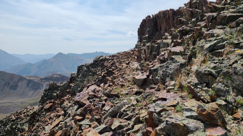
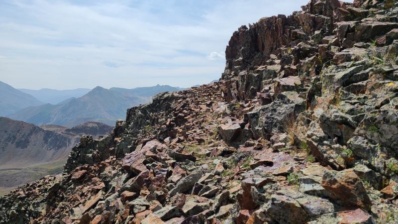
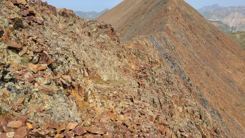
For most of the ridge it was just a walk, and near the middle the ridge twisted just enough that I had to drop down to the left onto a ledge at Class 2+. This was miraculously the only scrambling along the entire ridge. It continued shooting in a straight line towards the main bulk of the mountain.
Short Class 2+ section down and across a narrow section of ridge.Nearing the upper mountain.Ridge finally widening
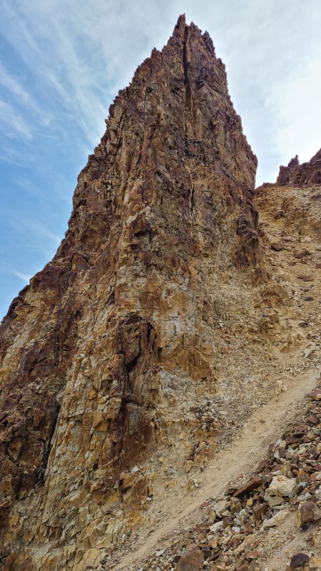
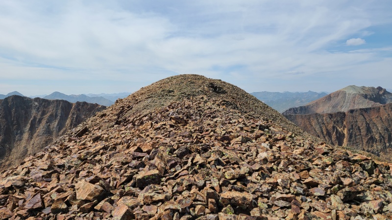
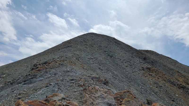
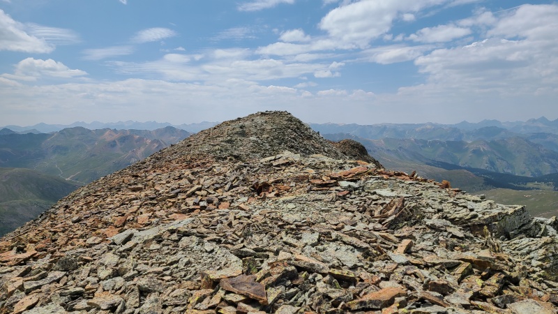
Once the ridge ended it was a rough Class 2+ scramble up shattered rock to a pitch of gray dirt, and finally to a dinner plate summit.
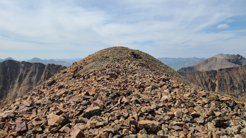
Loose as a goose but not as steep as it looks.The exciting ridge leads to... this. Meh.Summit of "Animas Forks Mountain".
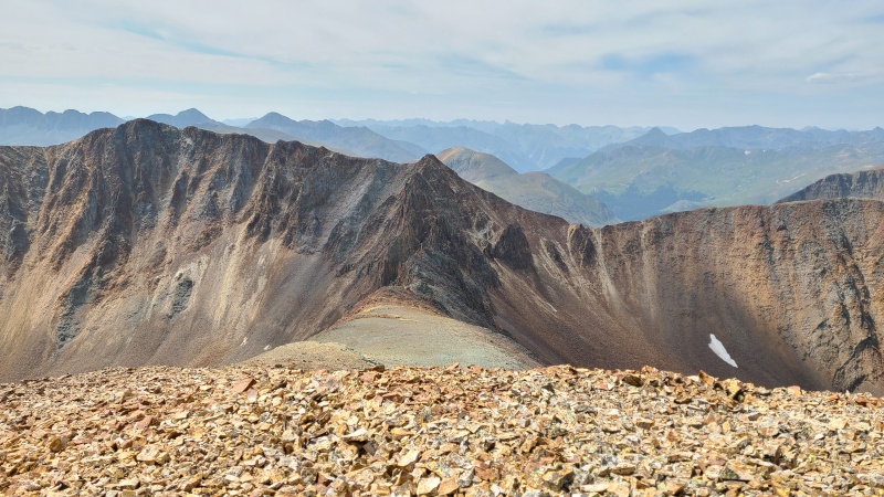
The ridge looked even wilder from the summit, as it was narrowest on the side closer to "Animas Forks Mountain". I knew there was another way off by descending the south ridge to the road, but I had enjoyed the ridge so much I wanted to cross it again, even if it took longer.
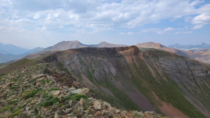
Back towards 13,708.Cinnamon Pass, 13,535, and Cinnamon Mountain.Ridge between 13,708 (off frame to the left) and Wood Mountain A. The trail would make for an easy descent.
I wasted no time in returning to the glory. It went quickly. I thought about making a third trip across. Yeah, it's that cool.
On the gray rock.Makes Mount Eolus look weak.So much spirit.Fire.Widening as it nears 13,708.This concludes your visit to the spirit world.
I re-ascended 13,708 as it would once again be easier descending the ridge proper towards Wood instead of sidehilling on the terrible rock of the area.
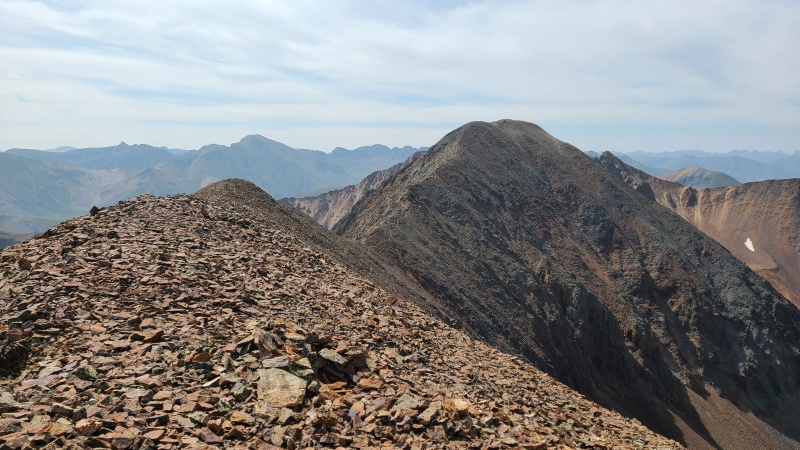
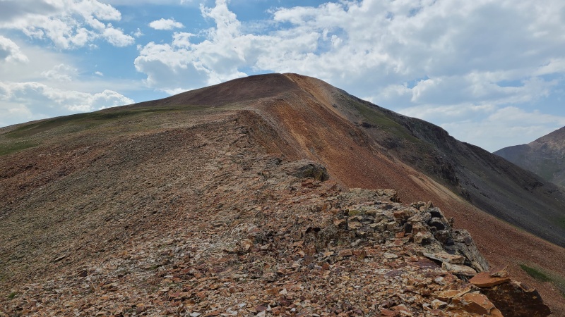
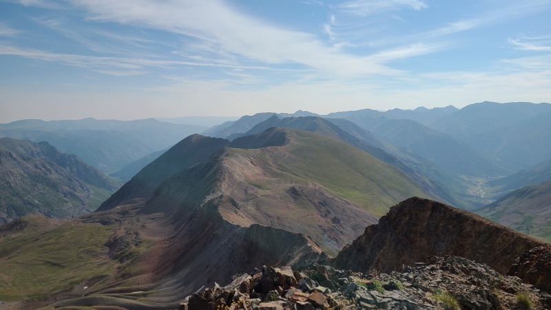
Ridge to Wood, and perhaps the best profile of the nasty ridge to 13,688 (left). The trail down to easier ground is visible below Wood.
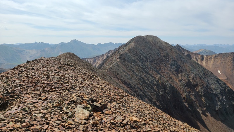
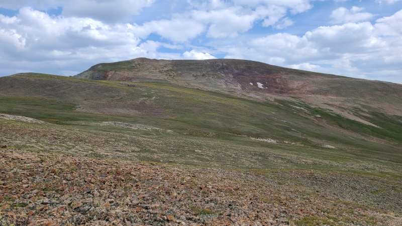
The ridge was simple Class 2, though of course the rock was loose. I can and probably should stop saying that by now. I continued almost to the saddle where I descended into Hurricane Basin, this time going south on soft yellow dirt.
Trail just right of center.Kind of nice. Kind of not.Hard to see in the photo, but the trail cuts southeast from here.
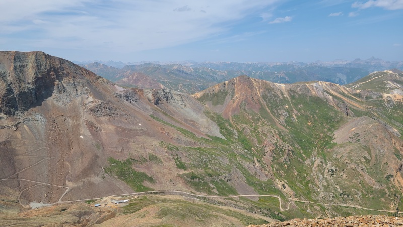
Once on tundra I turned south and crossed Cinnamon Pass as fast as I could. It was a zoo. I can't stand the noise and dust. I headed towards a trail that cut up the steep talus slope northeast of Cinnamon Mountain.
Another hard-to-see trail, but it makes this section far nicer.
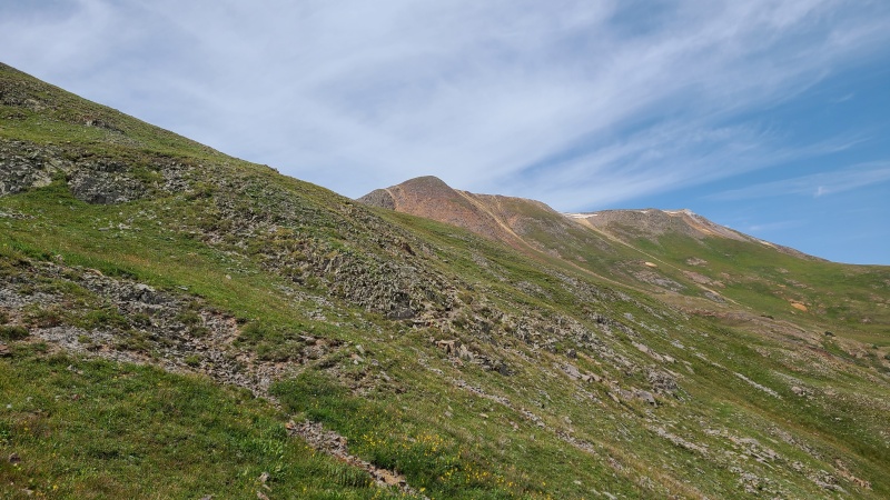
From the top of the face I had to pick which peak to climb first, 13,535 or Cinnamon Mountain A. I chose the former since it was higher and farther away.
13,535? (This isn't actually the summit.)Or Cinnamon?
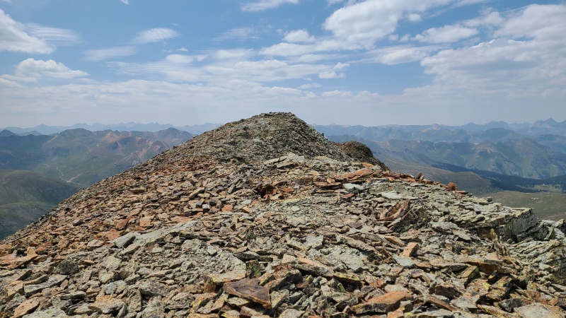
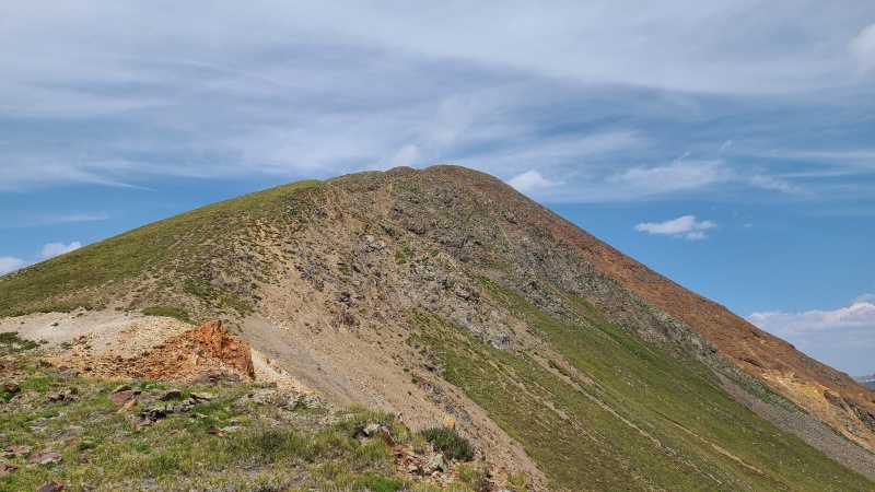
13,535 proved to be quite easy, though I went a little out of my way heading to what seemed like the summit. Only when I reached the false summit did I realize I should have gone farther to my right. Instead I had to contour around a long summit ridge.
False summit.Mixed terrain just below the false summit.The real summit's way around the bowl... Oops.Rolling green bumpies.
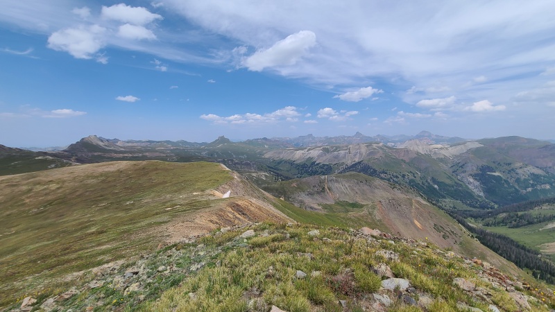
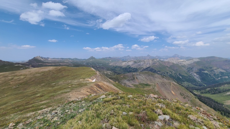
Views from 13,535 were spectacular, as expected. It is in the San Juan, after all.
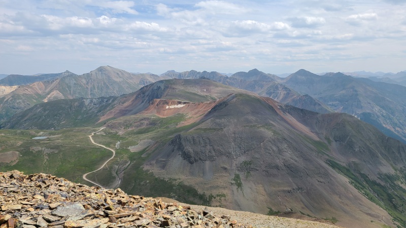
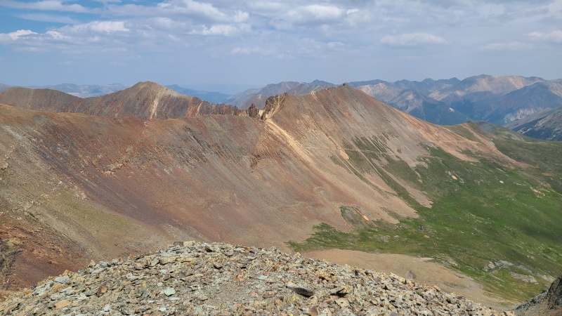
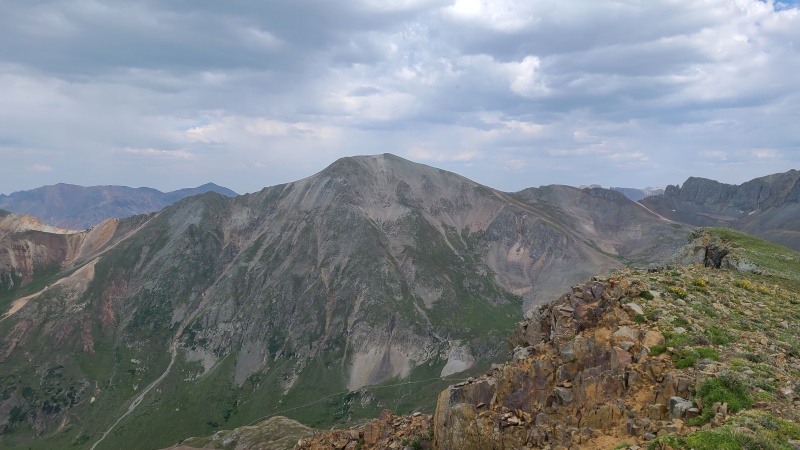
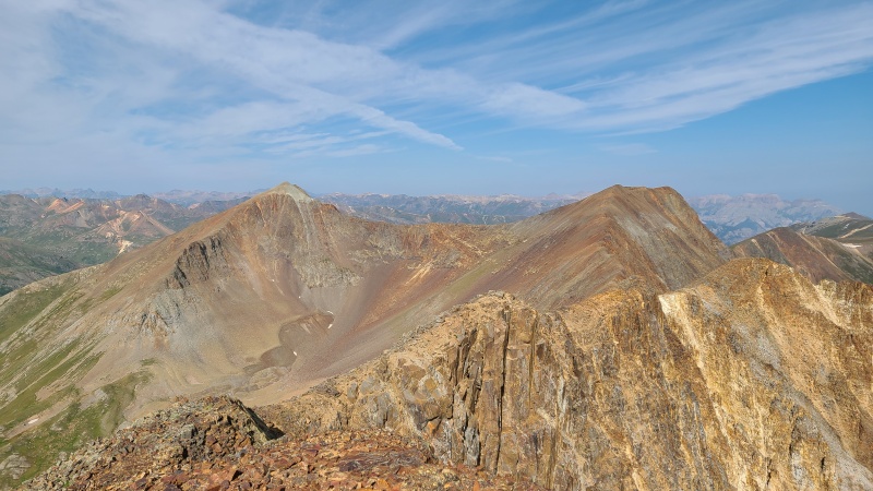
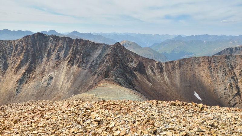
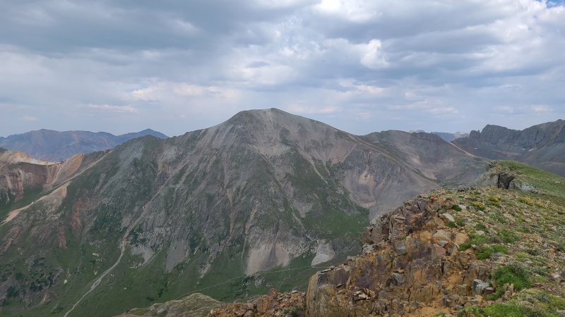
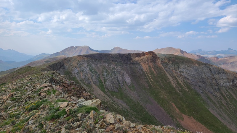
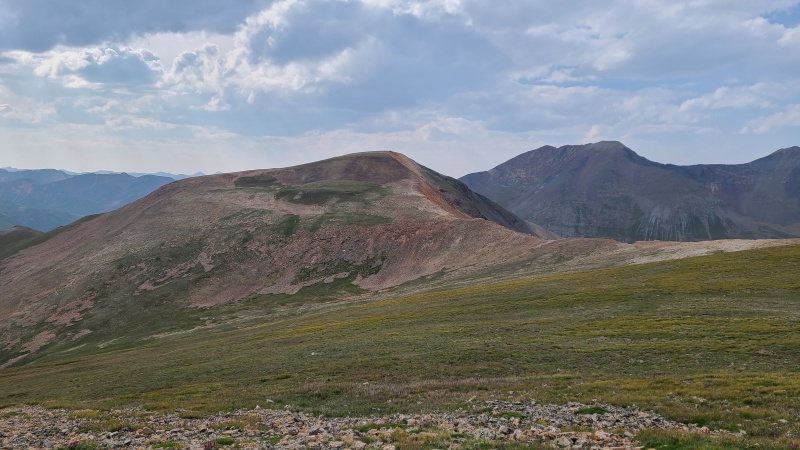
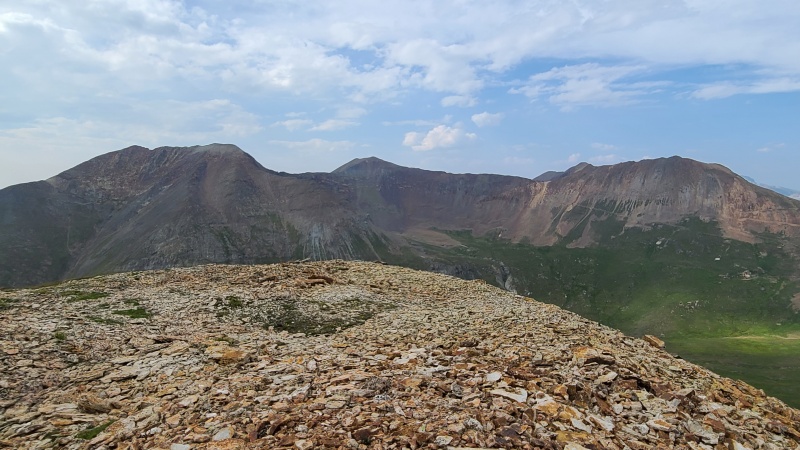
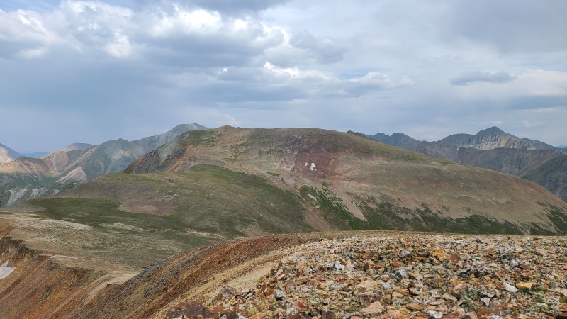
American Mountain, Jones Mountain A, Niagara Peak. Rio Grande Pyramid can be seen in the distance between American and Jones.Handies Peak looking rather blob-like.The false summit I originally went to, in red. "Animas Forks", 13,708, and Wood in the back, with Wetterhorn on the extreme right.
With just one peak left I contoured back along the ridge then followed my route back to the top of the trail above Cinnamon Pass. A more direct line to Cinnamon Mountain would have entailed additional loss and gain. From the trail it was another easy talus climb up Cinnamon with some trail segments thrown in.
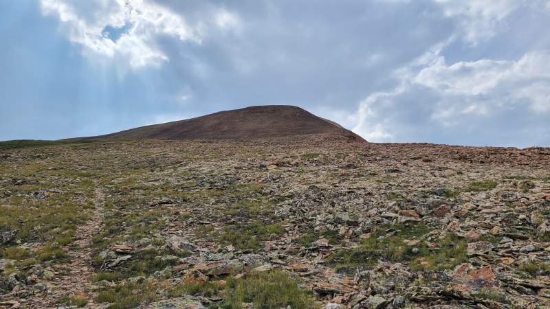
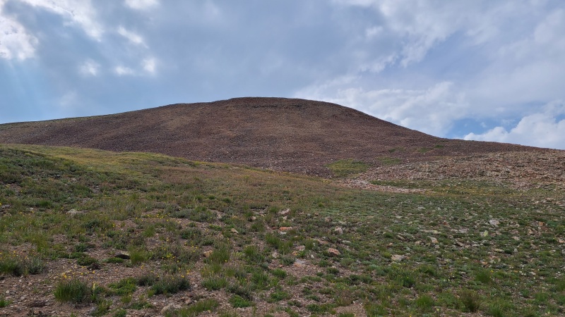
Cinnamon Mountain A.One of the short trail segments.Summit talus lump."Animas Forks" trio once more.13,535, with the true summit barely poking out right of center.Cinnamon Pass.
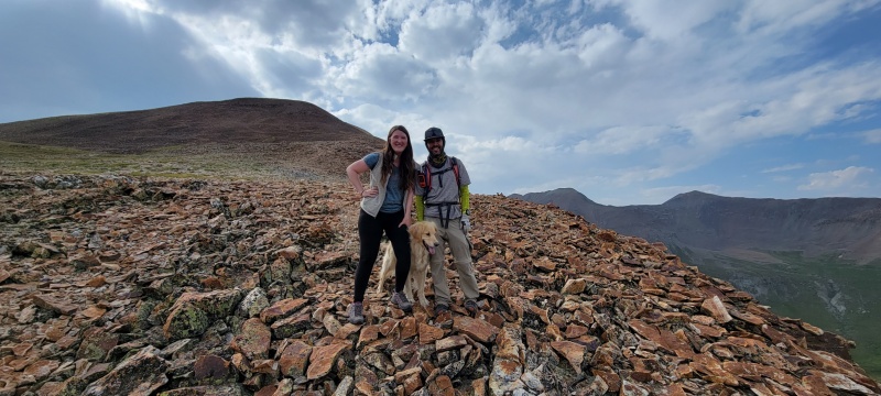
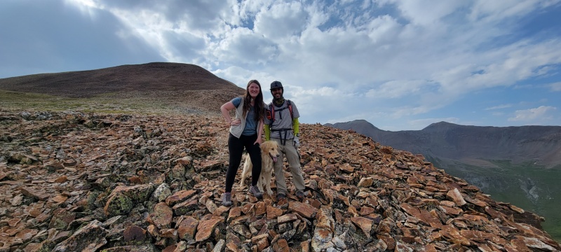
With that it was all downhill. I started down and saw a couple people and their dog coming up. As we met I was greeted with "hey, you're Ben, aren't you?" "Yep, that's me. You must be Allie." (Of course, I had called Allie by the wrong name in reality - sorry, Allie! - but for purposes of the story let's just pretend I hadn't been a dummy.) It was Allie (14ers.com user 13erRetriever), her boyfriend Kyle, and the ever-adorable Harper! They had come up from Cinnamon Pass on a quick hike. We talked for a few minutes about my day and theirs, and they mentioned they had just moved to Ridgway. I was looking at real estate in Ridgway, and have since bought a house northwest of town, so it was great to meet some fellow locals and Harper.
Allie, Harper, and myself. Photo: Allie S. Thanks, Allie!
They continued up while I continued down. Once back at the pass I ran the road back down to the van, then headed back to Lake City. Whiley was going to be running the High Five 100 ultramarathon over the weekend, so I stuck around and climbed a few smaller peaks in the area over the next few days. Aside from the section between Wood and Gravel this was a thoroughly enjoyable loop, and the north ridge of "Animas Forks Mountain" is amazing, a classic as far as I'm concerned. It's not hard in any way, but it is quite the strip of rock just hanging in the sky the way it does. If you're a wandering soul like I, make sure to visit and take a trip across this skywalk. It's full of spirit, and sure to rejuvenate your own.
Statistics
Climbers: Ben Feinstein (myself) Trailhead: American Basin/Cinnamon Pass Junction
Total distance: 17.76 miles Total elevation gain: 7,592 feet Total time: 10:21:58 Peaks: Five ranked thirteeners, three unranked thirteeners (two were demoted by LiDAR post-climb)
Wood Mountain A, 13,660' (demoted by LiDAR)
Gravel Mountain A, 13,577' (unranked)
Point 13,688
Seigal Mountain, 13,274'
Point 13,708 (unranked)
"Animas Forks Mountain", 13,733
Point 13,535
Cinnamon Mountain A, 13,328' (demoted by LiDAR)
Splits:
Starting Location
Ending Location
Via Time (h:mm:ss)
Cumulative Time (h:mm:ss)
Rest Time (m:ss)
American Basin/Cinnamon Pass Junction
Wood Mountain A
1:41:51
1:41:51
1:51
Wood Mountain A
Gravel Mountain A
1:37:48
3:21:30
6:42
Gravel Mountain A
Point 13,688
0:15:28
3:43:40
2:38
Point 13,688
Gravel Mountain A
0:16:35
4:02:53
0:00
Gravel Mountain A
Seigal Mountain
1:17:59
5:20:52
3:35
Seigal Mountain
Point 13,708
0:41:51
6:06:19
0:00
Point 13,708
"Animas Forks Mountain"
0:28:51
6:35:10
2:47
"Animas Forks Mountain"
Point 13,708
0:27:51
07:05:48
0:00
Point 13,708
Cinnamon Pass
0:52:18
7:58:06
0:00
Cinnamon Pass
Point 13,535
0:54:02
8:52:07
2:41
Point 13,535
Cinnamon Mountain A
0:38:18
9:33:06
2:38
Cinnamon Mountain A
American Basin/Cinnamon Pass Junction
0:46:15
10:21:58
Trip End
My GPS Tracks on Google Maps (made from a .GPX file upload):
Eddie, you're really selling it. Sketchy rock? No extra padding of the stats and no extra checklist ticks by going over Gravel? Sounds like a great option!
because I know from first-hand experience the rock quality in the gully to the Wood - 13688 ridge. It's doable but requires careful movements to avoid dislodging rocks.
@Allie: You too, sorry I haven't yet been able to hang out, I've been doing a lot to get ready for 13er season this year. Once things slow down again though, I hope to see you!
@Stu: You're welcome! One of the coolest ridges I've walked across for sure. I read Furthermore's TR on Animas Forks and he did it covered in snow. The man's a maniac!
@Eddie: Oh I know, I'm just ribbin' ya back. Cool photos in your TR, minus the climb up 13,688's ridge - still looks like hell to me and makes me glad I went over Gravel.
Eric, it's super awesome, easy or not! It'd be a good one to do on your way in or out of the SJ, assuming you can drive to Cinnamon Pass. It's probably doable in like two hours round trip!
That's a stout day. I think the route works better in reverse, simply because getting to Woods from 688 is easier/more enjoyable from that direction. Hurricane Basin is a sweet little spot and I enjoyed checking out the mining relics preserved in the old building there. But I totally missed your skywalk, instead descending the fairly solid stair-step off to the west of Animas to get to the lake and then the trail up to Siegal. So now I wish I had done that ridge.
Caution: The information contained in this report may not be accurate and should not be the only resource used in preparation for your climb. Failure to have the necessary experience, physical conditioning, supplies or equipment can result in injury or death. 14ers.com and the author(s) of this report provide no warranties, either express or implied, that the information provided is accurate or reliable. By using the information provided, you agree to indemnify and hold harmless 14ers.com and the report author(s) with respect to any claims and demands against them, including any attorney fees and expenses. Please read the 14ers.com Safety and Disclaimer pages for more information.
Please respect private property: 14ers.com supports the rights of private landowners to determine how and by whom their land will be used. In Colorado, it is your responsibility to determine if land is private and to obtain the appropriate permission before entering the property.




 Download GPX file used in this map