Download Agreement, Release, and Acknowledgement of Risk:
You (the person requesting this file download) fully understand mountain climbing ("Activity") involves risks and dangers of serious bodily injury, including permanent disability, paralysis, and death ("Risks") and you fully accept and assume all such risks and all responsibility for losses, costs, and damages you incur as a result of your participation in this Activity.
You acknowledge that information in the file you have chosen to download may not be accurate and may contain errors. You agree to assume all risks when using this information and agree to release and discharge 14ers.com, 14ers Inc. and the author(s) of such information (collectively, the "Released Parties").
You hereby discharge the Released Parties from all damages, actions, claims and liabilities of any nature, specifically including, but not limited to, damages, actions, claims and liabilities arising from or related to the negligence of the Released Parties. You further agree to indemnify, hold harmless and defend 14ers.com, 14ers Inc. and each of the other Released Parties from and against any loss, damage, liability and expense, including costs and attorney fees, incurred by 14ers.com, 14ers Inc. or any of the other Released Parties as a result of you using information provided on the 14ers.com or 14ers Inc. websites.
You have read this agreement, fully understand its terms and intend it to be a complete and unconditional release of all liability to the greatest extent allowed by law and agree that if any portion of this agreement is held to be invalid the balance, notwithstanding, shall continue in full force and effect.
By clicking "OK" you agree to these terms. If you DO NOT agree, click "Cancel"...
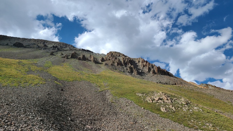
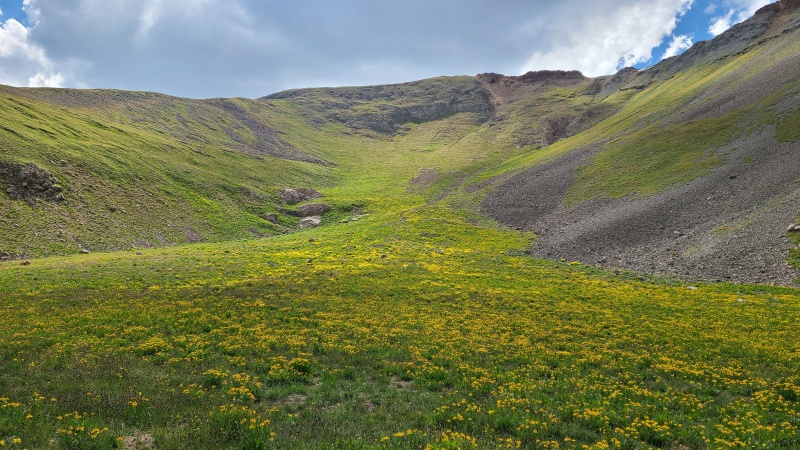
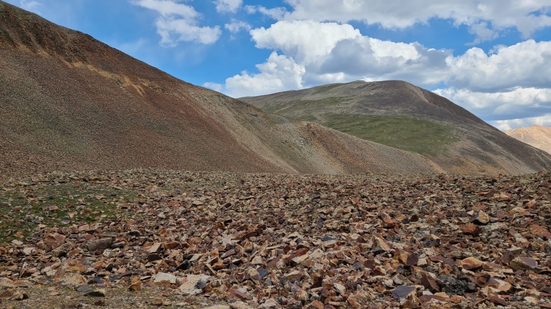
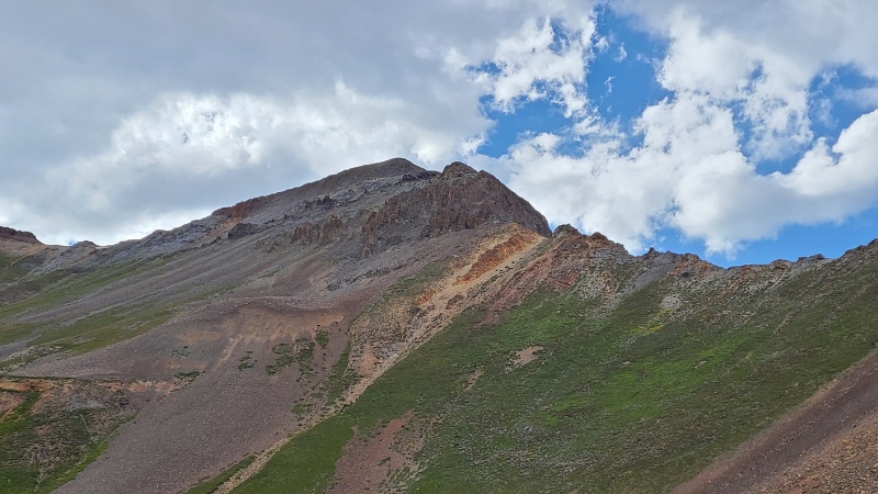
I was in Lake City for a few days before my friend Whiley was to run the High Five 100, a 100-mile-plus ultra that, among other things, bags the five 14ers around Lake City - Uncompahgre, Wetterhorn, Handies, Redcloud, and Sunshine (in that order for the race). With the extra time I drove up to Cooper Creek Trailhead near the Grizzly Gulch/Silver Creek trailhead (for Handies/Redcloud/Sunshine), hoping to finish off the 13ers I had left in the area. I started with a loop netting four 13ers northeast of Cinnamon Pass. The title of this trip report is a reference to Gudy Gaskill, who is the visionary behind the Colorado Trail ("Gudy Peak" is clearly named for her, and I assume next door neighbor "C.T. Peak" is a reference to the Colorado Trail). The Colorado Trail is one of Colorado's finest stretches of trail, and at 486 miles from Durango to Denver, is a part of the access route for numerous 13ers and 14ers. The title is also a shoutout to those who write trip reports, including those who wrote reports on this quadruplet before me. I'm writing this not because it's a particularly exciting set of peaks but because everyone seemed to mention how crappy the descent off Point 13,540 A is en route to "Gudy", and I wanted to use the vision of those who came before me to show an easier way.
From Cooper Creek Trailhead I hiked west on the road towards Cinnamon Pass. I was solo so I'd have to loop it instead of shuttle it like most folks do. This section of road isn't particularly exciting either, and I tried to get through it as quickly as possible. After about an hour and 20 minutes and a little over four miles, I was up most of the switchbacks. The road was busy and I was glad to be able to leave it up steep grass in a small drainage. My goal was to reach lower angle terrain north of the road.
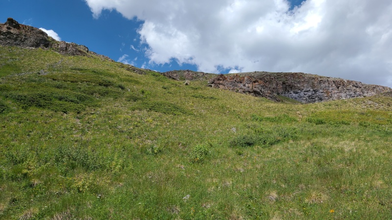
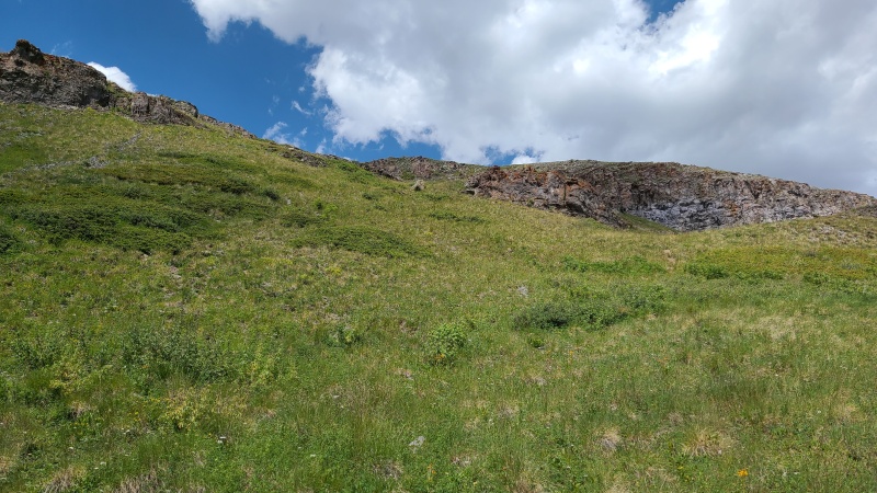
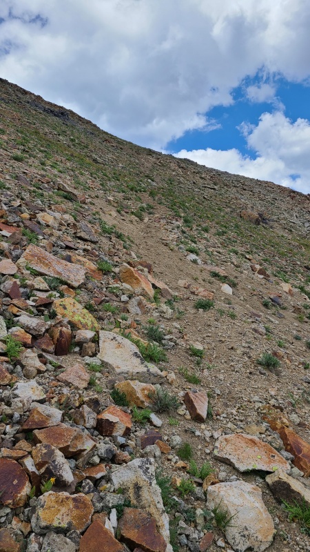
Steep grass leaving the road.Flats a few hundred feet above.
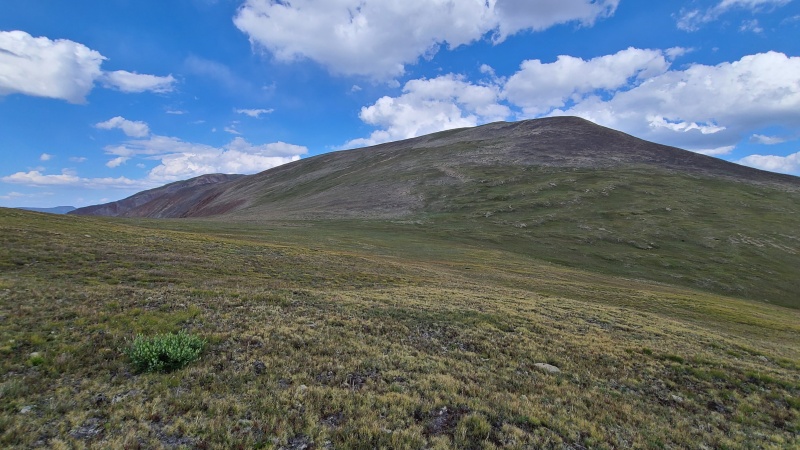
I continued northwest with the aim of contouring on an old road that traversed Wood Mountain A's east face, then shot east across the slopes of Point 13,427.
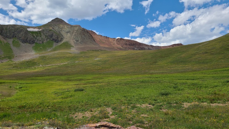
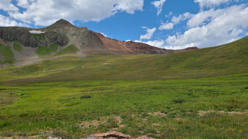
Road below, trail above. I aimed for the area near the saddle on the right.Point 13,427 and Point 13,540 A.
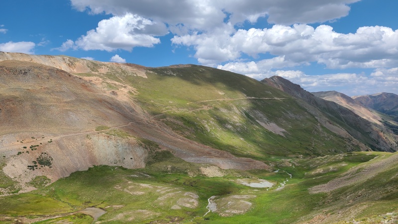
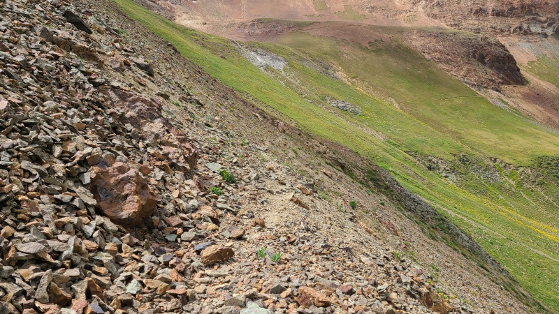
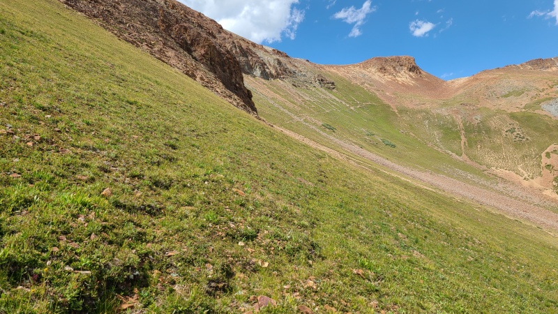
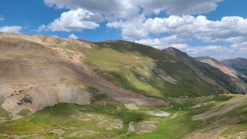
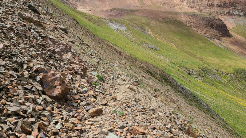
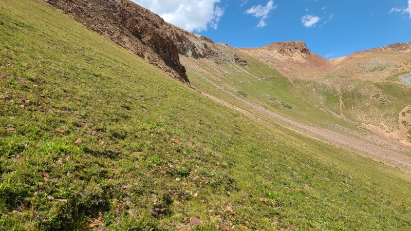
I ended up quite a ways above the road but found an old, faint mining trail to use instead. This trail is visible in the third photo just below the cliffs.
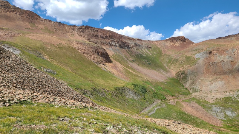
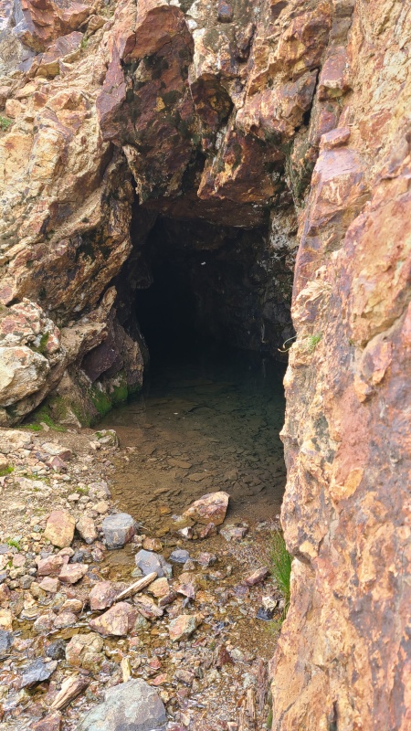
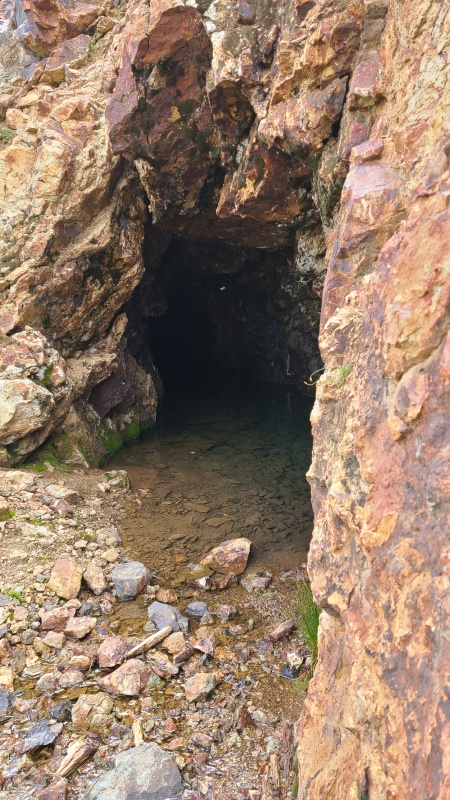
Faint trail through the talus.Trail across the slope that slowly gains en route to the saddle.Old mine along the way.
The trail eventually petered out on a bench below the ridge, then picked up again beyond the bench.
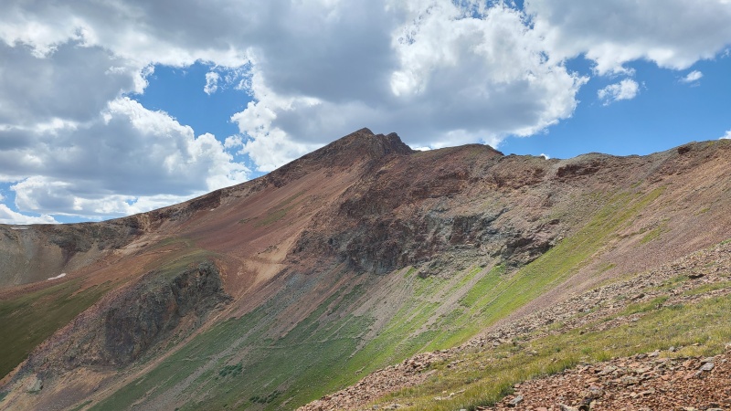
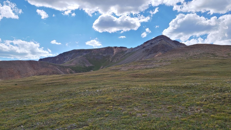
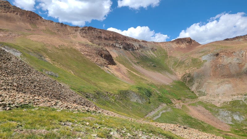
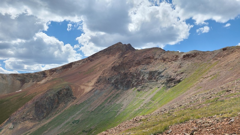
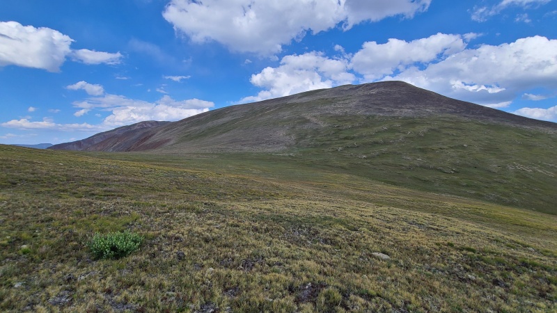
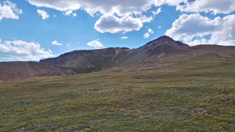
East face of Wood Mountain A with trail ascending from lower left.Bench towards 13,427.North face of Wood and ridge to Point 13,688.
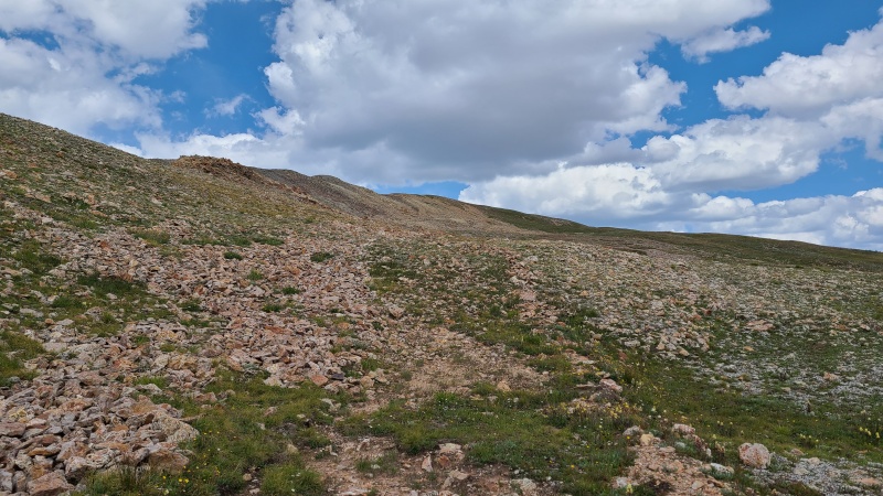
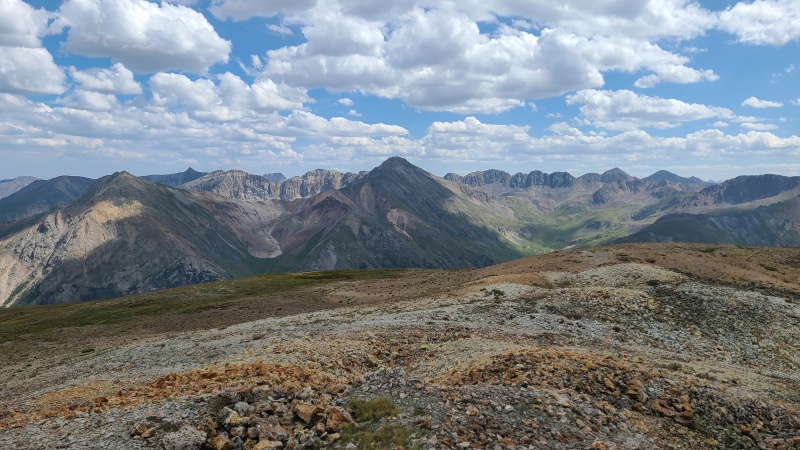
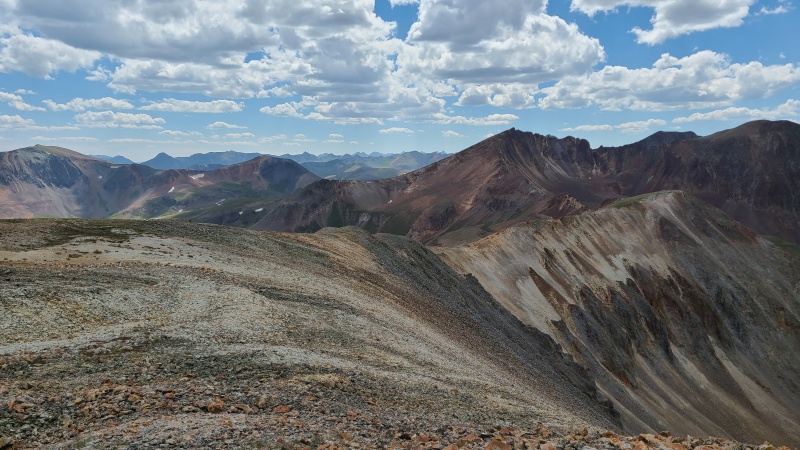
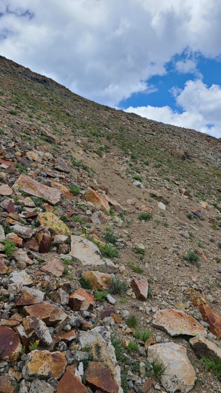
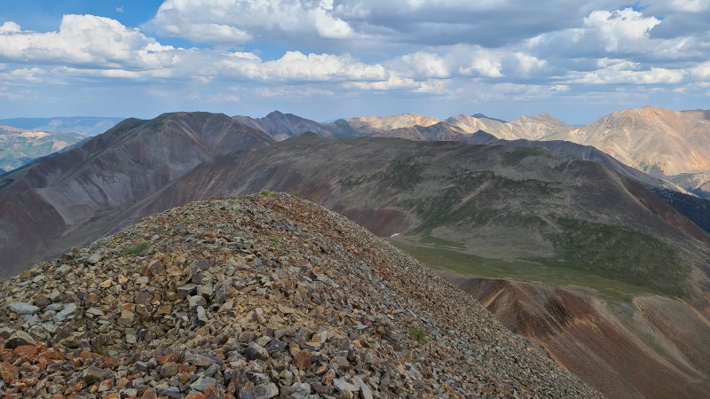
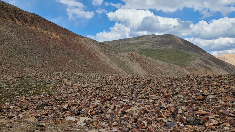
The terrain upon leaving the bench turned to an annoying mix of tundra and rock before shifting entirely to rock. Views from the summit were excellent in usual San Juan fashion.
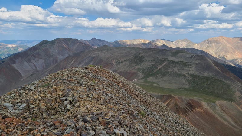
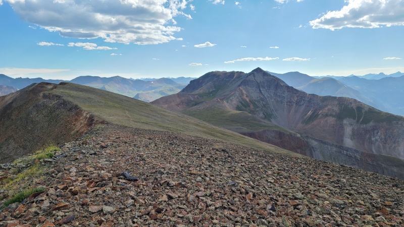
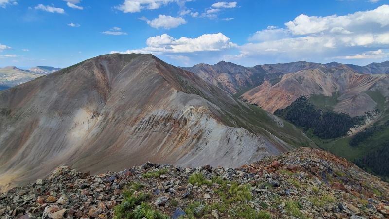
Somewhat unpleasant, but not difficult.Summit ridge to 13,427.Handies Peak.Cimarron.Ascent ridge. Cinnamon Pass left of center, Wood and 13,688 right.
From 13,427 it was a simple Class 2 walk over to 13,540 A.
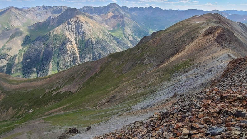
13,540 A at the left end of the ridge.Descent off 13,427.Easy terrain up 13,540 A.The rock descending 13,427 doesn't last long.Typical easy stuff on the ridge.
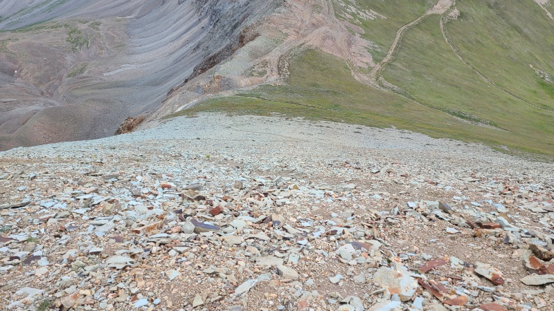
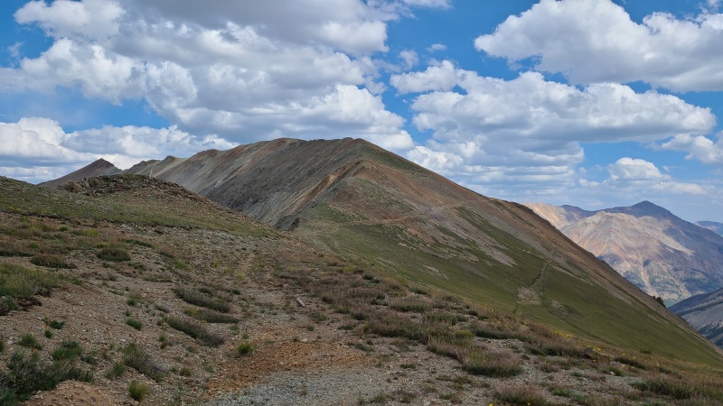
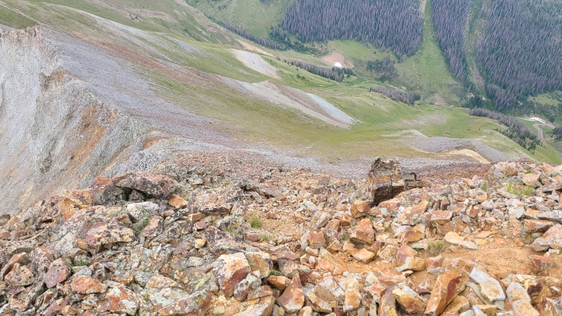
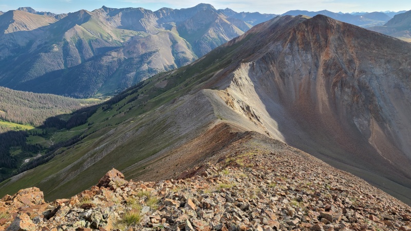
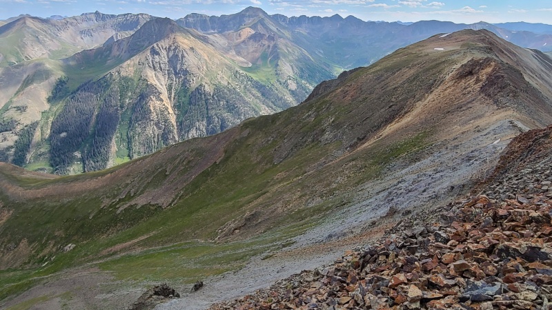
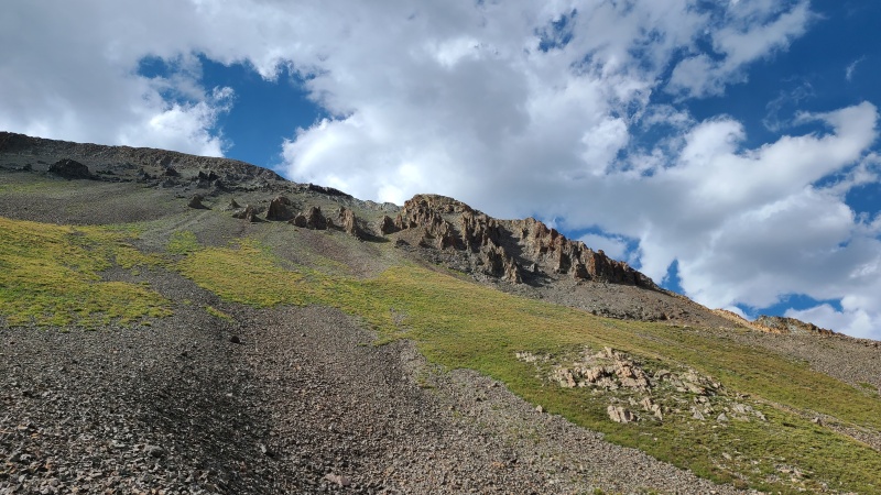
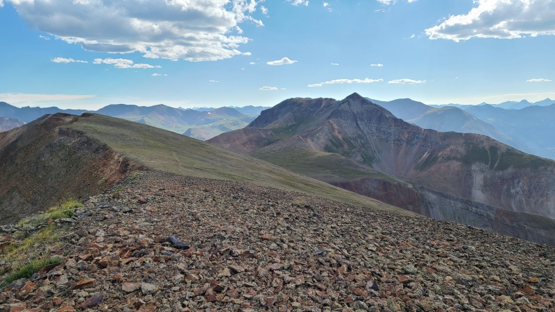
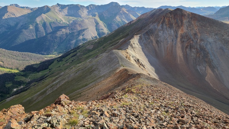
From the summit of 13,540 A "C.T Peak" looked quite far away. I also knew from previous trip reports that this was where the easy terrain came to an end. The ridge direct to the saddle with "C.T" is steep, scrambly, and apparently extremely loose. It seems most people don't like this section, so I had kept an eye out for an easier way down that wouldn't involve the ridge direct. That easier way? Back track a quarter mile along the ridge and go down grass. That's it. Well, that was underwhelming. I'm surprised everyone seems to take the crappy option, even if it's more direct. No doubt it takes more time on the unpleasant rock!
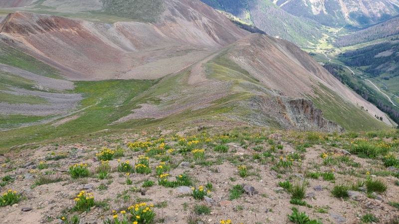
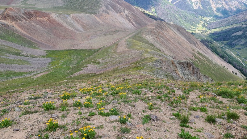
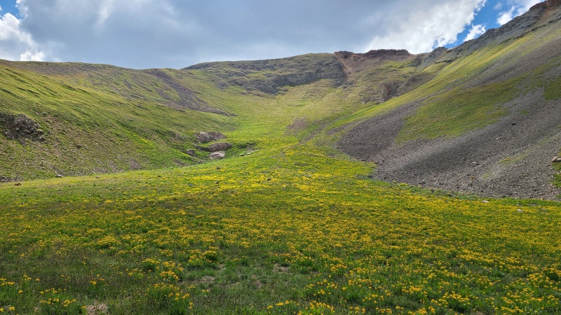
Over towards "C.T. Peak" with the difficulties not visible just below the foreground summit.Backtrack along the ridge and find any grassy patch ya like.On the ridge itself. A bit of dirt but not that loose.Small, rocky basin to cross but nothing difficult.
The small amount of extra distance was worth it when I got down and saw the mess of towers and cliffs that would require navigating going ridge direct.
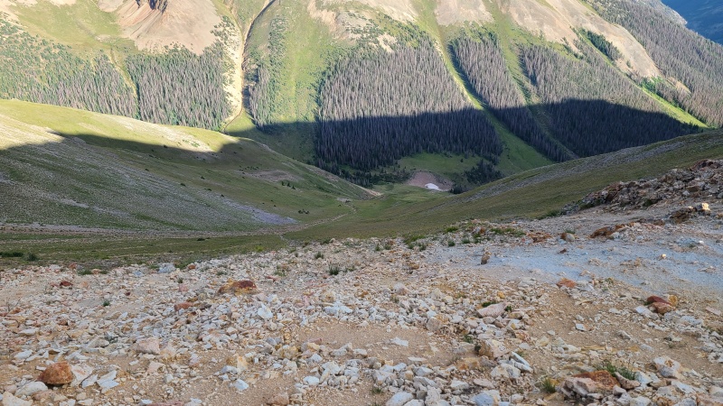
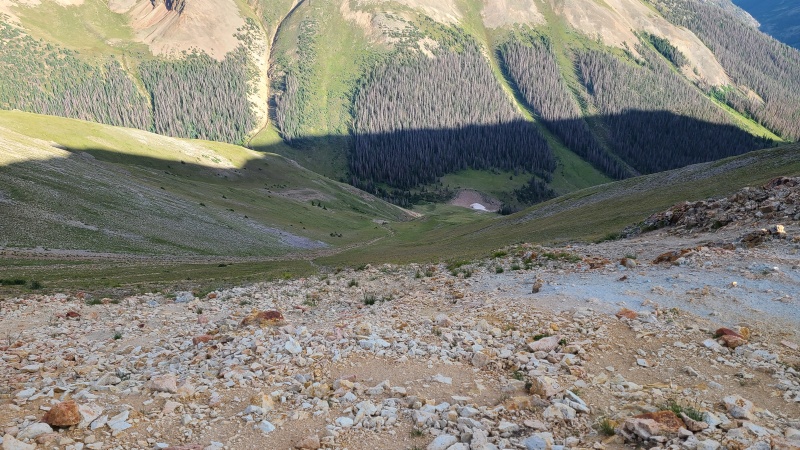
Oblique angle.Looking directly up the center of the bowl.
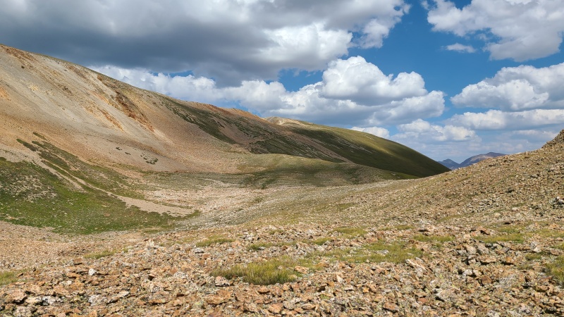
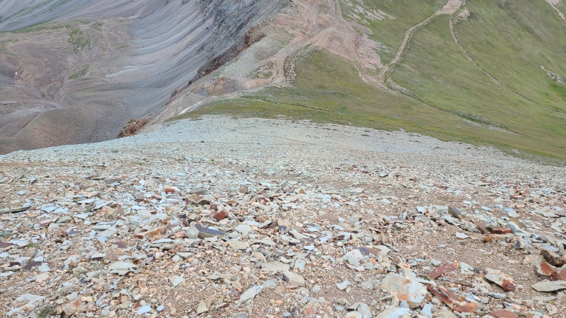
The only part of this workaround I didn't like was the talus in the bowl, but it's a fair sight better to walk across than scramble down.
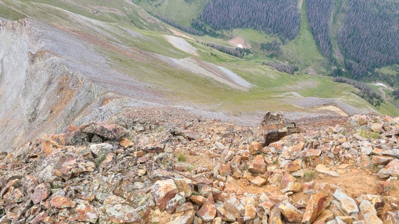
Irritating talus, but not a ton of it.Another look at the steep, loose section I avoided.
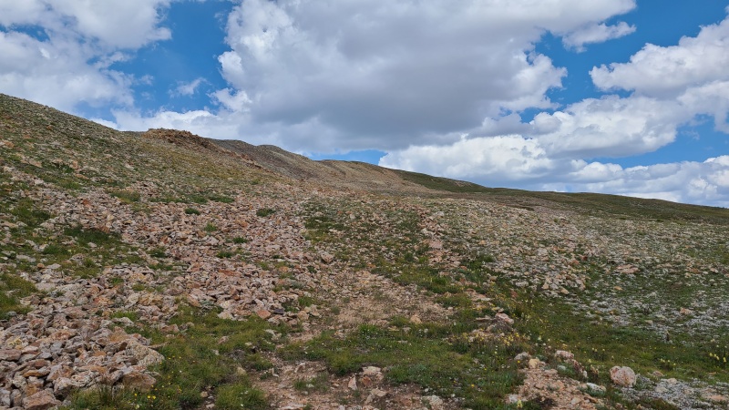
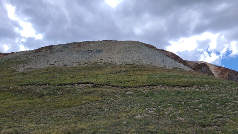
I crossed the bowl, found a decent section to climb out, and was back to tundra between the peaks.
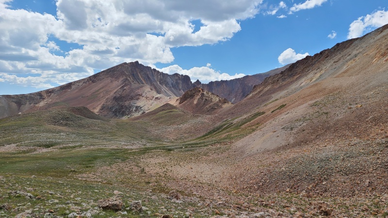
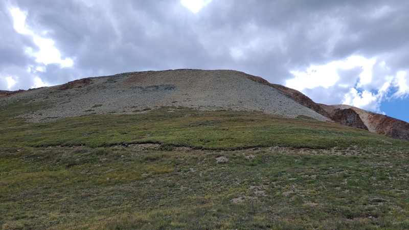
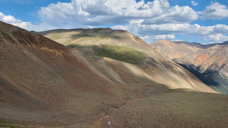
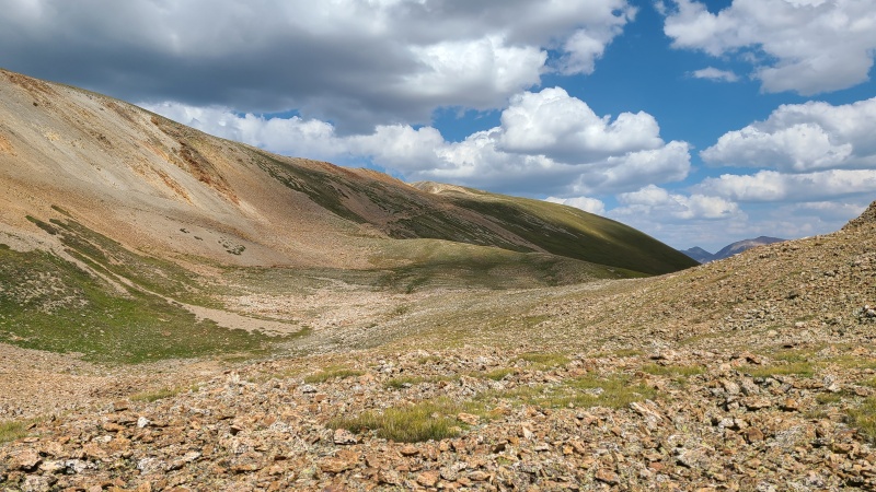
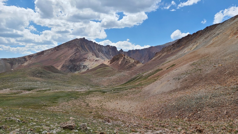
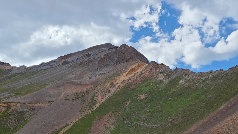
Escaping the bowl."C.T. Peak" looking very lumpy.Wide view of the entire area. Go down grass on the left or go down scramble on the right.
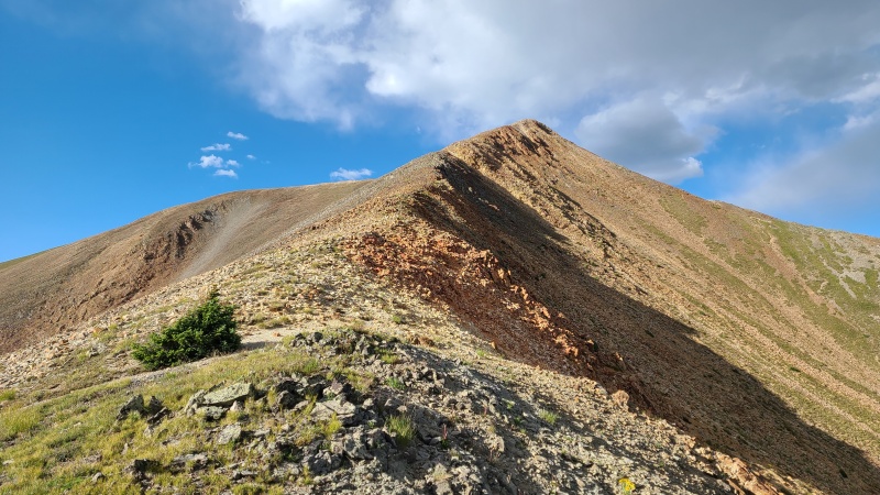
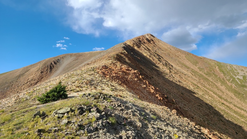
The remaining hike up "C.T." was nothing more than a Class 2 tundra and talus hike.
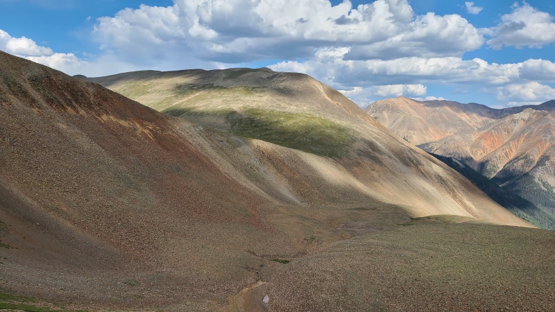
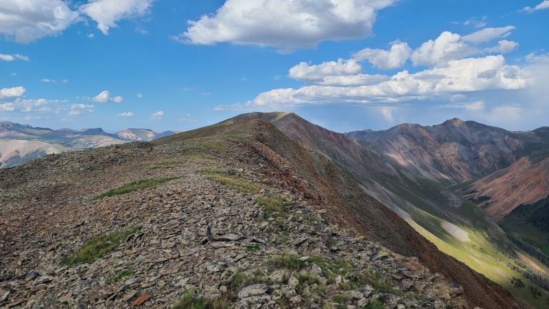
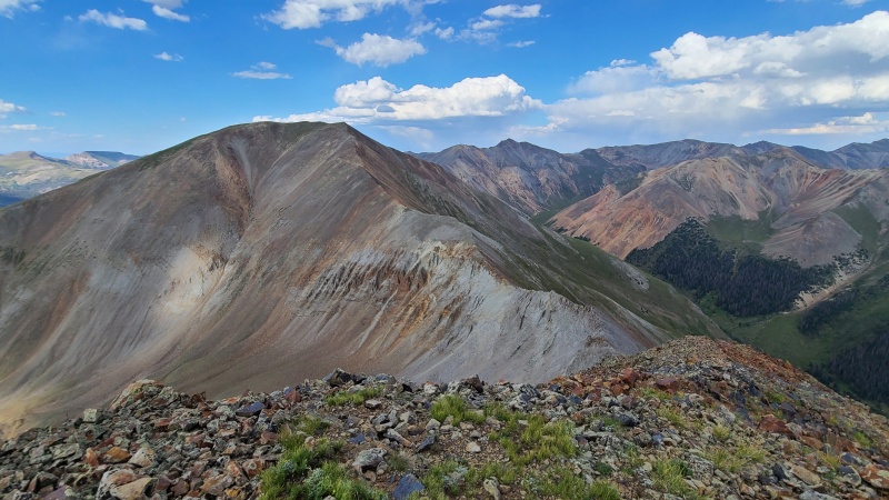
Summit ridge with "Gudy Peak" in center and Cooper Creek drainage on right.Final look back at 13,540 A.Over to "Gudy".
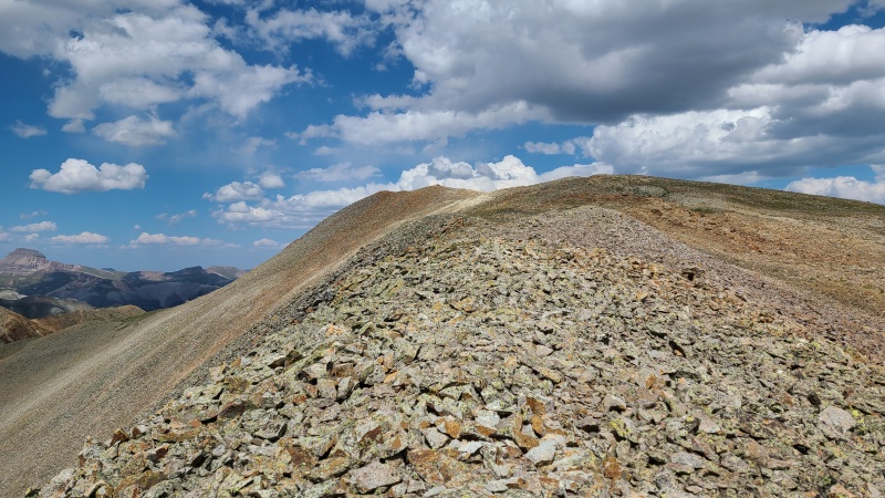
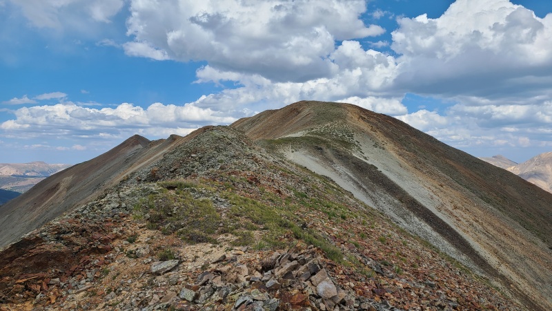
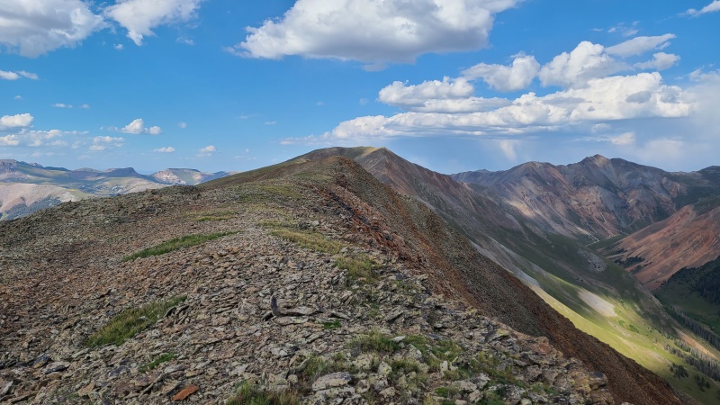
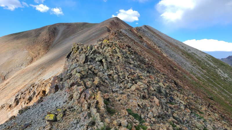
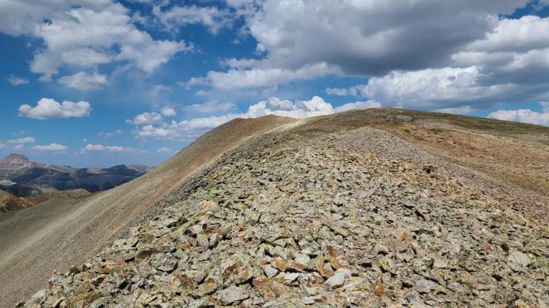
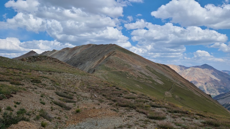
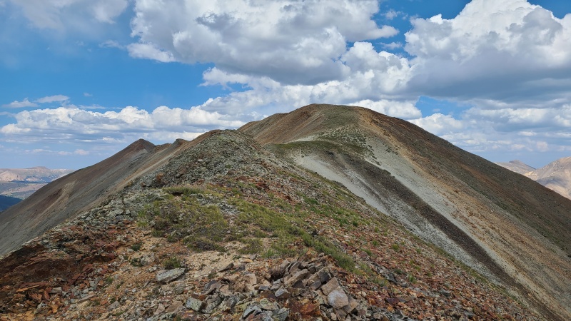
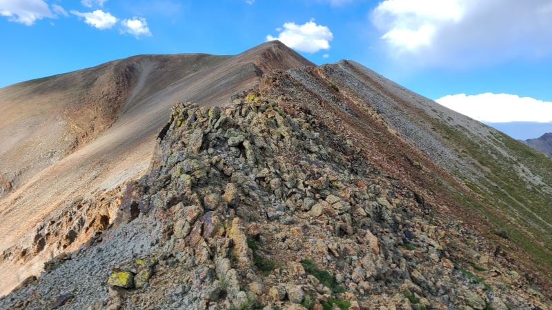
The ridge between "C.T." and "Gudy" was rockier than the others but still stayed at Class 2. It was a quick hike to the last peak of the day.
Descending "C.T. Peak".Some funky but easy rock ascending "Gudy Peak".Final summit ridge.
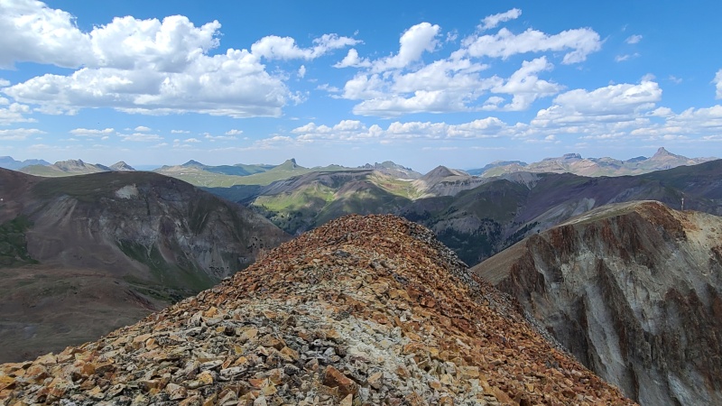
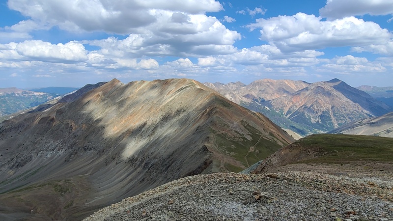
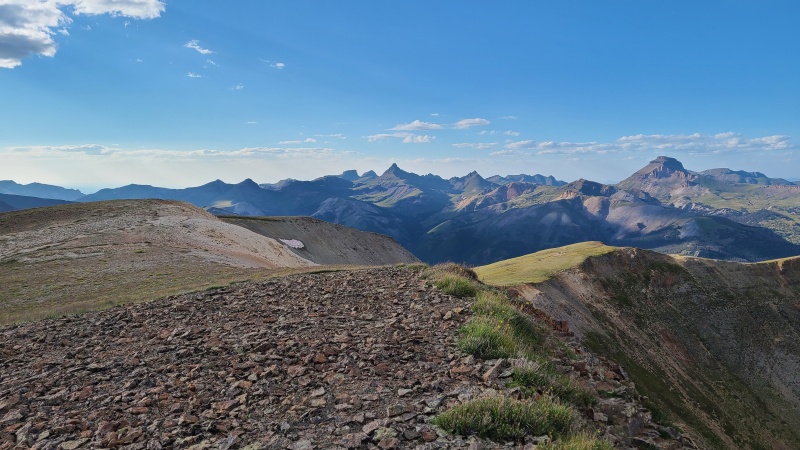
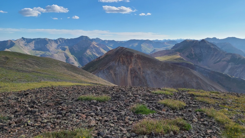
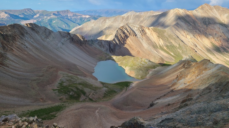
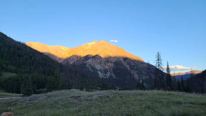
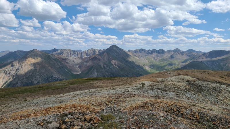
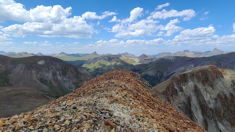
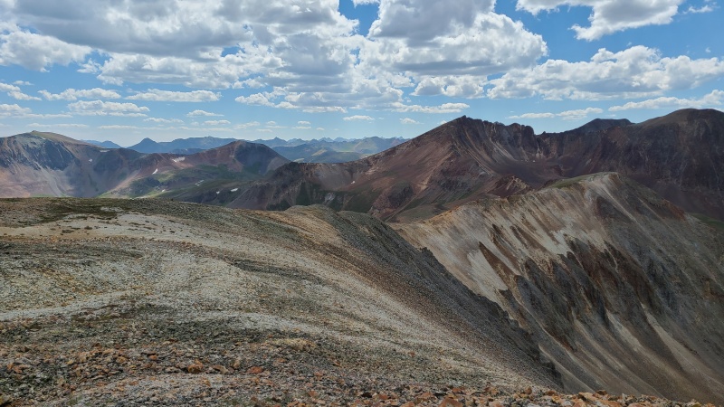
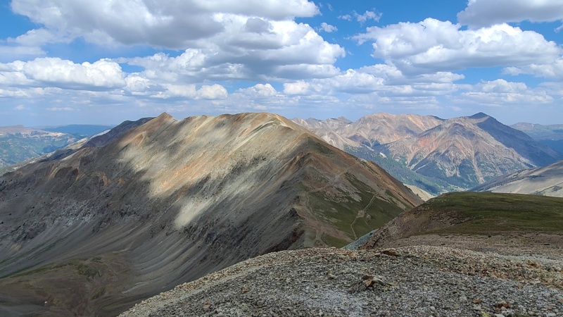
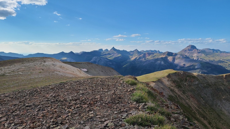
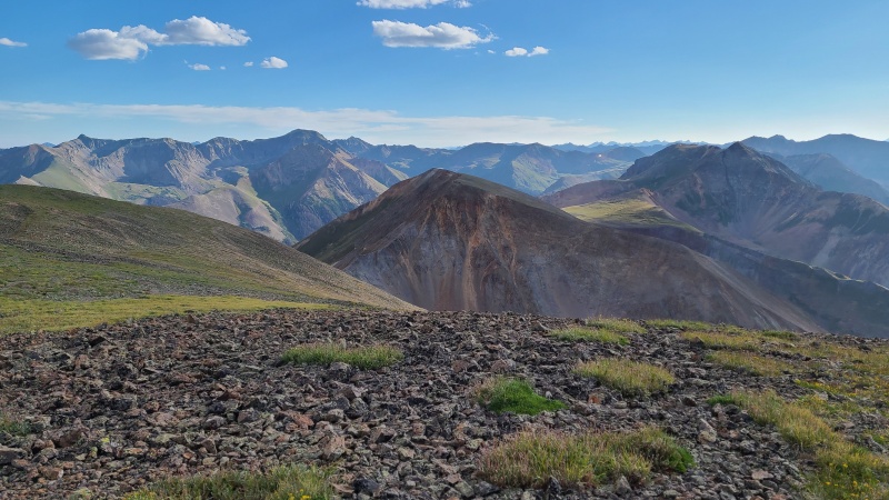
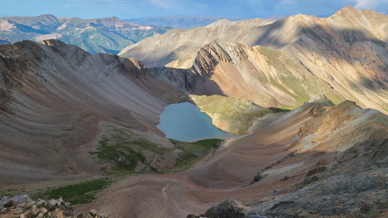
Views from the summit of "Gudy Peak" were outstanding in the evening light.
Cimarron with the usual suspects: Wetterhorn in center with Redcliff and Coxcomb just to the left, and Uncompahgre on the far right.Back towards "C.T." and 13,540 A with Handies' flat summit left of centerCooper Lake.
The easiest way down from the summit of "Gudy" was another reversal of the ridge I had just come up, followed by another grassy descent into Cooper Creek drainage.
Back along the ridge to "Gudy".
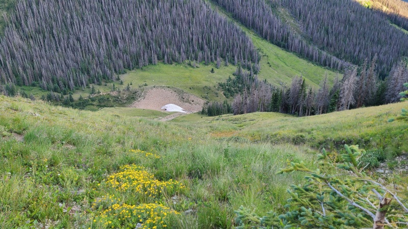
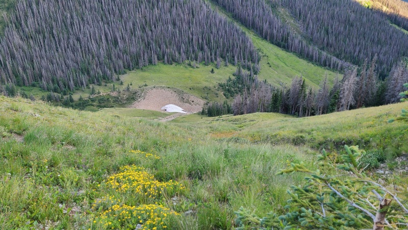
There was a bit of loose junk getting off the ridge in pursuit of the grass, but once again it was short-lived and I was quickly on easy and fast grass.
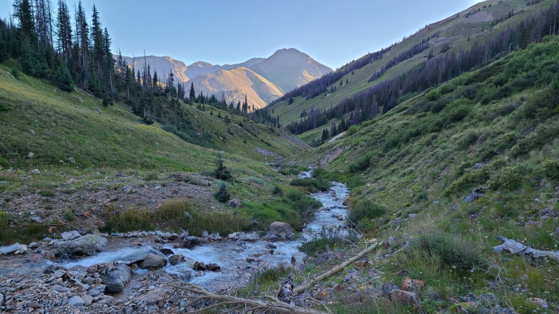
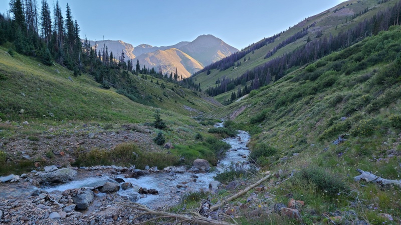
Loose as a goose, but over quickly.Almost at the creek.Charming Cooper Creek.
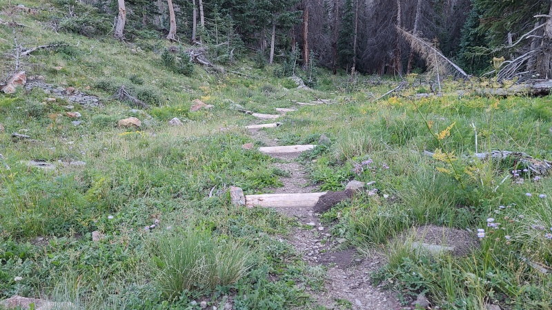
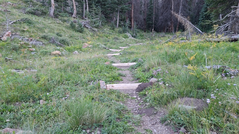
From the bottom of the drainage I should have crossed over to the south side of the creek - there's a trail that runs along the south side before crossing over to the north side, which would have been faster and easier than finding my own path along the north side. Eventually I ran into the trail, whereupon a ran down to the road. What a trail this is! I'd been on it with Whiley in November of 2020 and don't remember it being so well maintained, including dozens of log steps on the lower section.
Excellent trail.
I raced down owing to the encroaching shadows at the end of the day, hopped in my van, and drove up to the American Basin/Cinnamon Pass junction, planning an even bigger day the next day. These might not be the most exciting peaks - unless one takes the crappy scramble off 13,540 A, that is - so I was happy to have kept it not so exciting, for once.
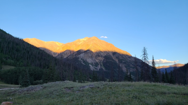
Sunshine Peak at sunset.
Statistics
Climbers: Ben Feinstein (myself) Trailhead: Cooper Creek
Total distance: 14.01 miles Total elevation gain: 5,142 feet Total time: 6:52:08 Peaks: Four thirteeners
Point 13,427
Point 13,540 A
"C.T. Peak", 13,312'
"Gudy Peak", 13,566'
Splits:
Starting Location
Ending Location
Via Time (h:mm:ss)
Cumulative Time (h:mm:ss)
Rest Time (m:ss)
Cooper Creek Trailhead
American Basin/Cinnamon Pass Junction
0:54:52
0:54:52
0:00
American Basin/Cinnamon Pass Junction
Point 13,427
1:34:36
2:29:29
1:29
Point 13,427
Point 13,540 A
0:46:14
3:17:12
4:09
Point 13,540 A
"C.T. Peak"
1:23:09
4:44:30
4:07
"C.T. Peak"
"Gudy Peak"
0:42:31
5:31:08
2:19
"Gudy Peak"
Cooper Creek Trailhead
1:18:40
6:52:08
Trip End
My GPS Tracks on Google Maps (made from a .GPX file upload):
Went out and did these today but in reverse. Took the workaround for '540 that this trip report detailed and it was great. Gully did not look fun. Thanks for the good beta
That descent from UN13540 doesn't look too bad from the top, but once we got below it it was obvious why everyone else hated it. Glad we followed your route there.
I'm glad the bypass option worked for y'all, it seems deceptively simple but saves a ton of trouble.
Caution: The information contained in this report may not be accurate and should not be the only resource used in preparation for your climb. Failure to have the necessary experience, physical conditioning, supplies or equipment can result in injury or death. 14ers.com and the author(s) of this report provide no warranties, either express or implied, that the information provided is accurate or reliable. By using the information provided, you agree to indemnify and hold harmless 14ers.com and the report author(s) with respect to any claims and demands against them, including any attorney fees and expenses. Please read the 14ers.com Safety and Disclaimer pages for more information.
Please respect private property: 14ers.com supports the rights of private landowners to determine how and by whom their land will be used. In Colorado, it is your responsibility to determine if land is private and to obtain the appropriate permission before entering the property.




 Download GPX file used in this map