Download Agreement, Release, and Acknowledgement of Risk:
You (the person requesting this file download) fully understand mountain climbing ("Activity") involves risks and dangers of serious bodily injury, including permanent disability, paralysis, and death ("Risks") and you fully accept and assume all such risks and all responsibility for losses, costs, and damages you incur as a result of your participation in this Activity.
You acknowledge that information in the file you have chosen to download may not be accurate and may contain errors. You agree to assume all risks when using this information and agree to release and discharge 14ers.com, 14ers Inc. and the author(s) of such information (collectively, the "Released Parties").
You hereby discharge the Released Parties from all damages, actions, claims and liabilities of any nature, specifically including, but not limited to, damages, actions, claims and liabilities arising from or related to the negligence of the Released Parties. You further agree to indemnify, hold harmless and defend 14ers.com, 14ers Inc. and each of the other Released Parties from and against any loss, damage, liability and expense, including costs and attorney fees, incurred by 14ers.com, 14ers Inc. or any of the other Released Parties as a result of you using information provided on the 14ers.com or 14ers Inc. websites.
You have read this agreement, fully understand its terms and intend it to be a complete and unconditional release of all liability to the greatest extent allowed by law and agree that if any portion of this agreement is held to be invalid the balance, notwithstanding, shall continue in full force and effect.
By clicking "OK" you agree to these terms. If you DO NOT agree, click "Cancel"...
There are plenty of trip reports for the individual ascent/descent portions of this loop but I haven’t seen anyone describe the loop link up of the two, so I thought it’d be worthwhile to describe it here, as it has some nice advantages.
I’ve always liked the climb up Raspberry Gulch – it has a 13er feel, a nice long ridge, and I usually see a lot of wildlife on the way. The descent, though, is something that I dread – you need to be much more careful with route finding, you spend a lot of time exposed above the treeline, and it’s generally slow going.
Little Browns Creek fixes a lot of the issues I have with the descent – route finding isn't really an issue, you’re less exposed to bad weather, and you’re on an established trail so you can move quickly. As its name implies, Little Browns Creek also offers you a water source, which is not present along the Raspberry Gulch route.
Even for people planning to do Raspberry Gulch as an out-and-back, I’d recommend having this loop in your back pocket in case you encounter bad weather along the ridge and need to bail – I’ve been chased off the ridge by hail/thunder/lightning on a couple occasions!
Getting There
The starting point for this route is at the intersection of Forest Road 273 and the Colorado Trail (38.689349, -106.170761). There’s a pull off right next to the Colorado Trail where you can park, and there’s plenty of dispersed camping options along FR 273. Really, you can start from anywhere along FR 273 past the Colorado Trail – I just didn’t want to have to run up the road as the final section of the loop!
Route Description
Begin by proceeding up the road from the intersection of FR 273 and the Colorado Trail. You’ll spend ~1.25 miles and gain ~650 feet along the road. Not the most interesting portion of the route but not bad by road standards.
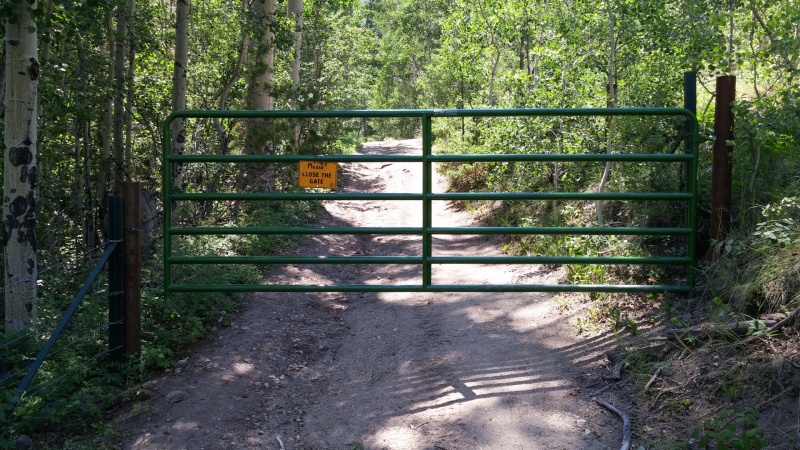
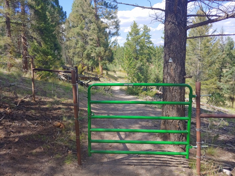
The first obstacle of the day: a gate you need to open and close
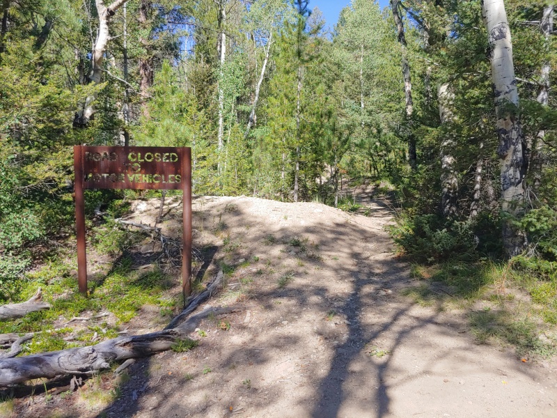
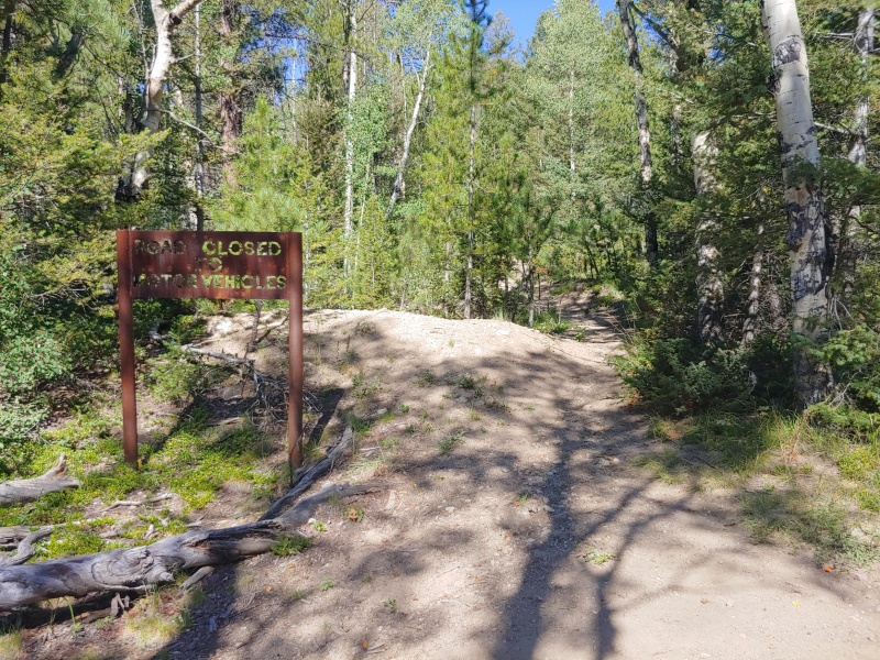
At the end of FR 273 you’ll reach an old mining road that you’ll follow for ~1 mile and ~850 feet of gain until you hit a saddle.
The start of the mining road section
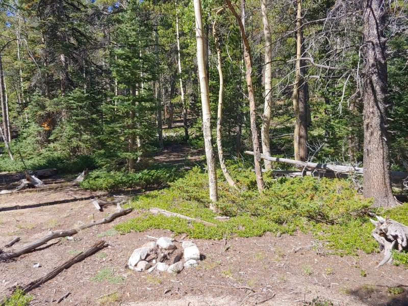
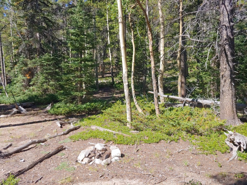
The first ~0.25 miles of the mining road is a bit overgrown with a few downed trees but it's not hard to navigate through. After the initial section the mining road is fairly clear and easy to follow until you hit the saddle. The saddle is pretty apparent when you reach it - the terrain levels out quite a bit and the mining road begins to fade away. There’s a been a fire ring at the saddle for at least the last year. It’s a good marker to look for and usually where I begin to proceed up the slopes.
The fire ring at the saddle - looking up the slopes you'll ascend
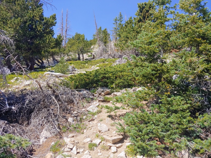
The saddle is the last point where you’ll see a trail until you begin your descent from Antero. At the saddle, proceed west directly up the slopes. The forest is fairly sparse so you can generally weave between trees without needing to do any hardcore bushwhacking. This section is quite steep: per strava I gained nearly 1400 feet over my initial mile up the slopes. Route finding isn’t difficult here – you just need to generally go up.
Eventually the hillside will begin to narrow and you’ll reach a (relatively) flatter section. Stick near the crest and keep proceeding forward. As you begin to exit the treeline it will get a bit steeper, though not as steep as the initial portion of the climb. You may notice orange tape on some trees or some cairns that unofficially mark the trail – these are more useful on the descent but I wouldn’t rely on finding them. I also wouldn't worry if you don't see any markings since there's multiple paths through the trees.
Orange tape on a tree. This picture was actually taken last year but the tape remains in places
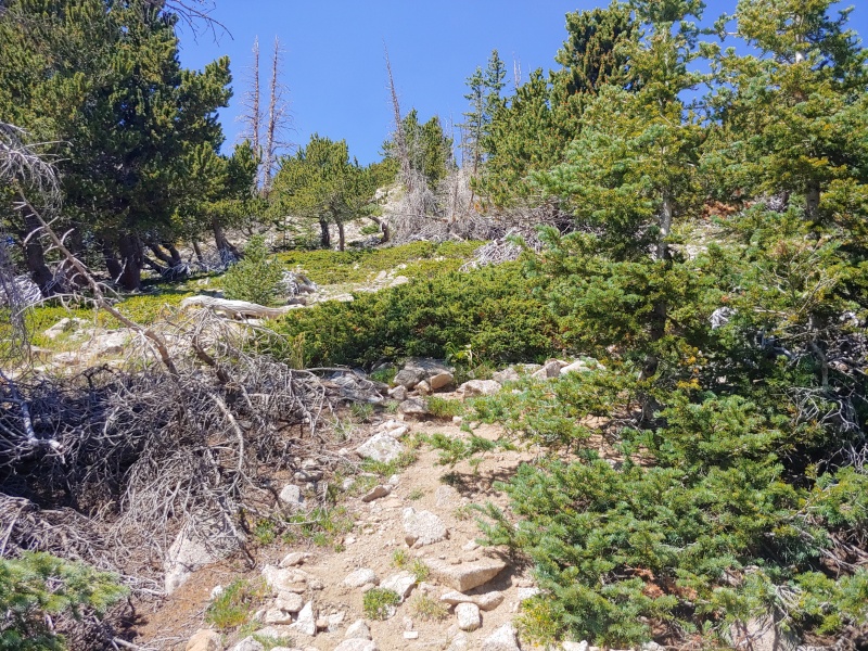
Beginning to exit the treeline
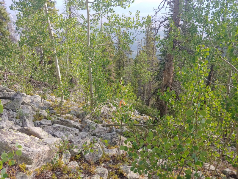
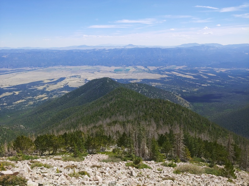
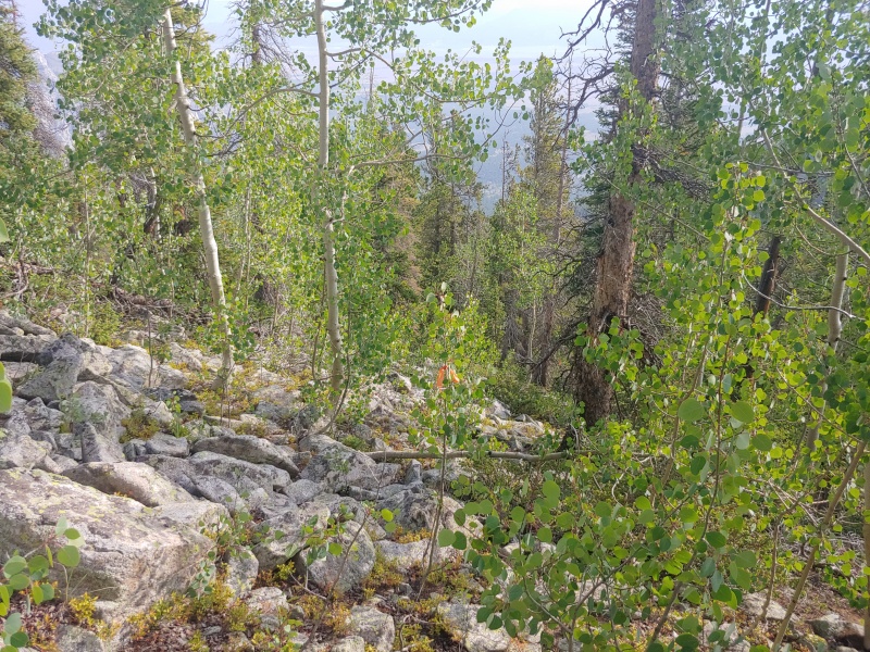
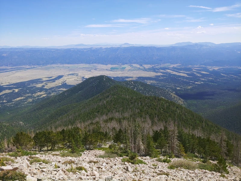
A look below right around the treeline – you can see the slope you ascended, Mine Mountain, and the saddle between these two high points. If you have to descend this route keeping an eye on Mine Mountain is a good strategy to end up back at the saddle.
The view below as you exit the treeline
The view above as you exit the treeline
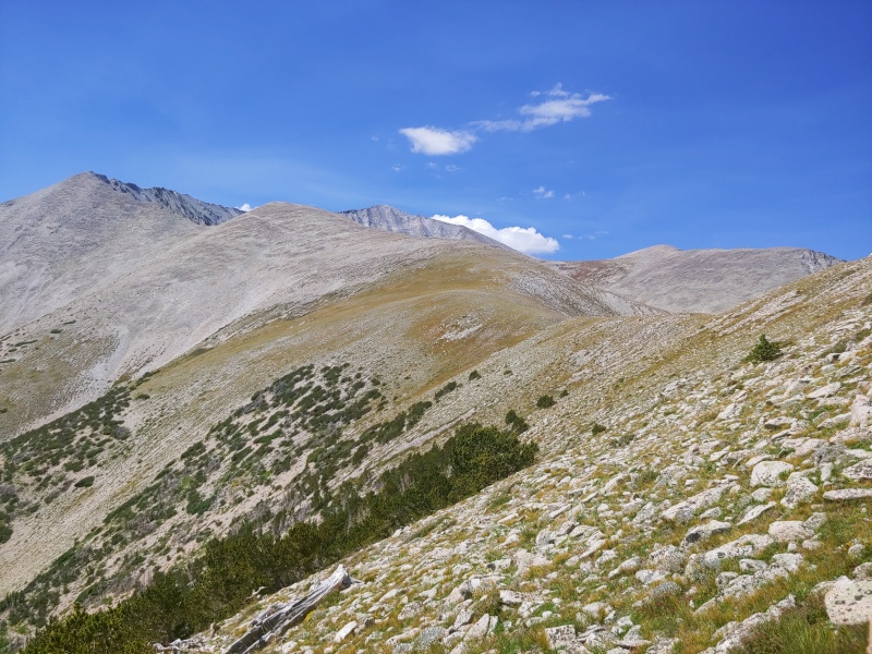
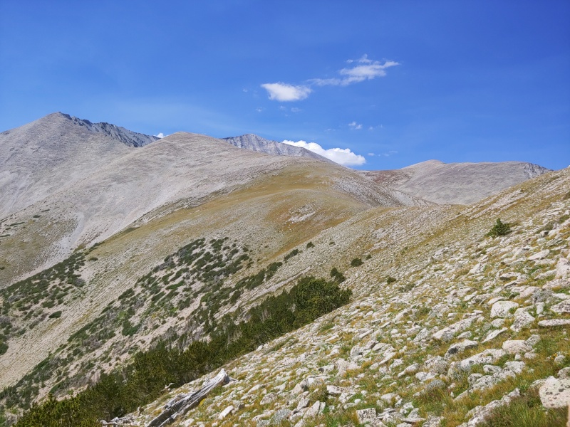
As you exit the treeline and make your way onto the shoulder keep an eye out for wildlife – I’ve seen a herd of mountain goats, a herd of big horn sheep, and multiple foxes hanging out here. You’ll want to stick fairly close to the ridge crest the rest of the way, even if it means gaining and losing some extra elevation, as the rocks get looser and looser the further you get from the crest. Proceed along the shoulder until you reach the main ridge.
The main ridge
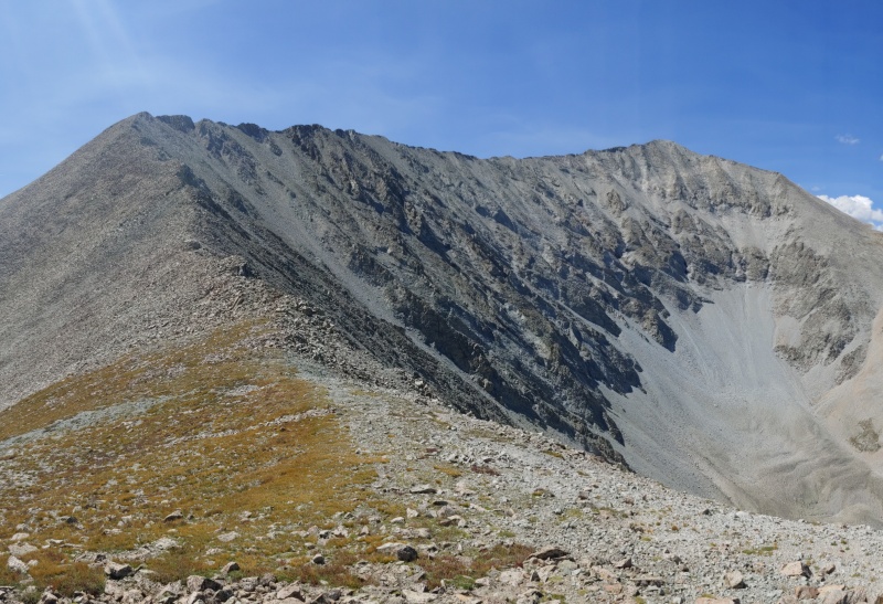
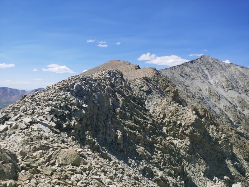
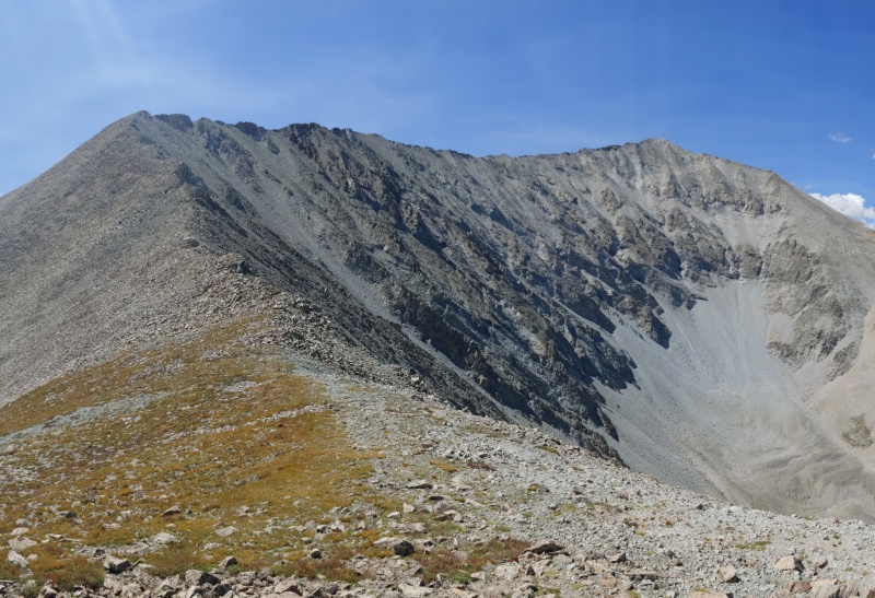
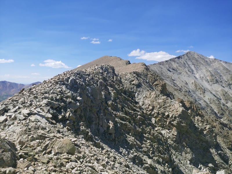
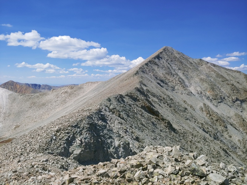
Once you reach the main ridge proceed up. You can stick to the ridge proper or go slightly to the climber’s left all the way to the summit. There can be loose rocks in places, so be careful with your footing, though in most cases when I encountered excessive loose rock it was because I had strayed too far left from the ridge proper. The initial climb is the most difficult part of the ridge, though the entire thing can be kept at class 2.
Looking towards the summit after climbing the initial part of the ridge
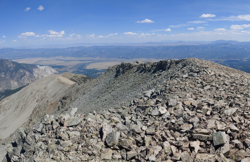
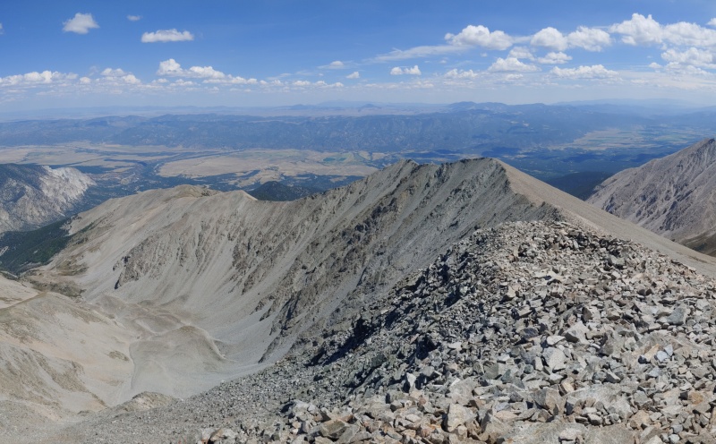
View down the ridge part way through
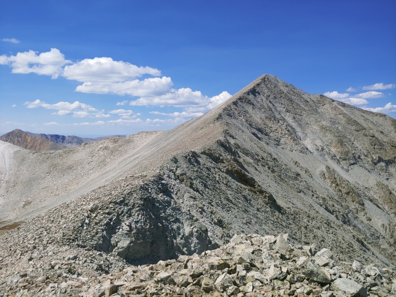
The final climb to the summit
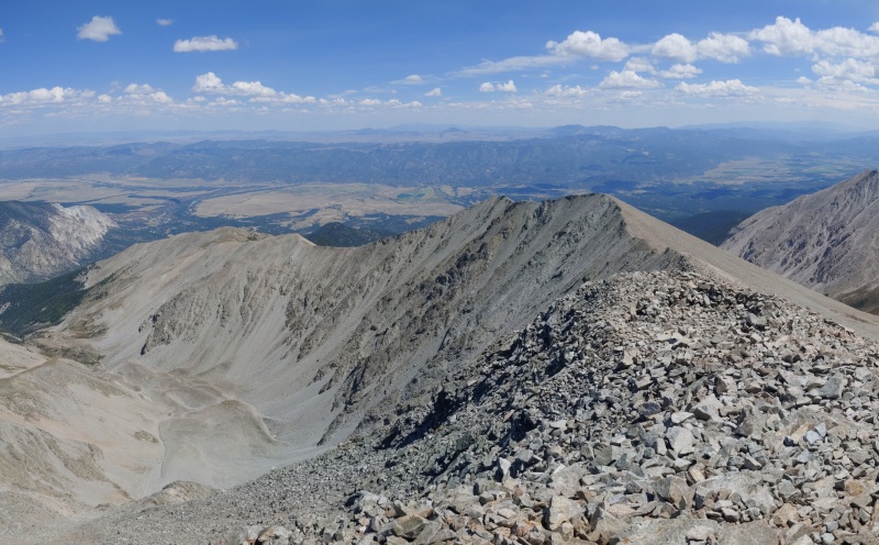
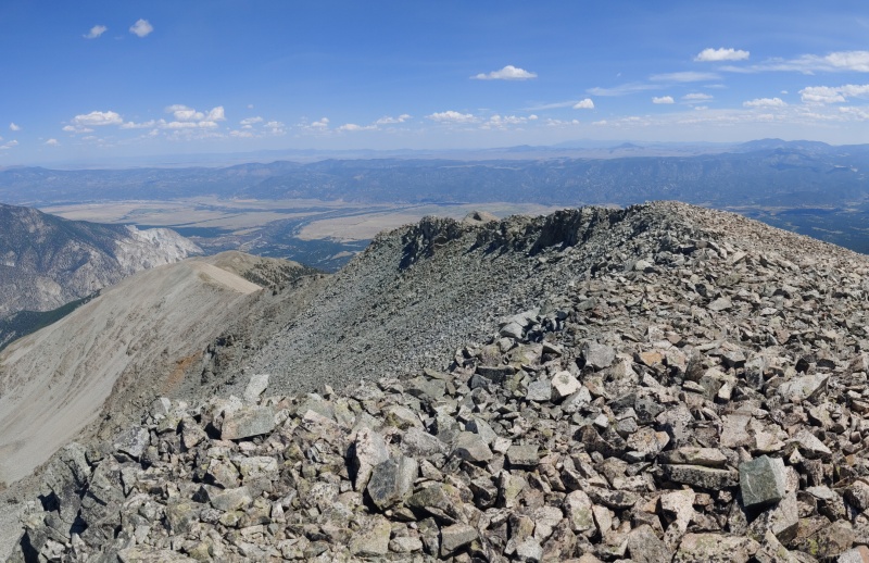
View of the entire ridge from the summit – you can even see the slope you ascended and Mine Mountain if you look carefully
Descend the standard route from the summit to the road. Follow the road to the first intersection and turn left, departing from the standard route. You can take the road down to the saddle and connect with the end of Little Browns Creek, or exit the road early along a more direct shortcut to Little Browns Creek. I, of course, missed both of these options and stayed on the road too long, and had to cut across to Little Browns Creek a little later on.
From here you’re on an established trail and can cruise all the way down to the Colorado Trail – the trail is clear and well marked the entire way. I’d advise getting water fairly early on if you need it. You won’t have access to the creek on the lower section of the trail.
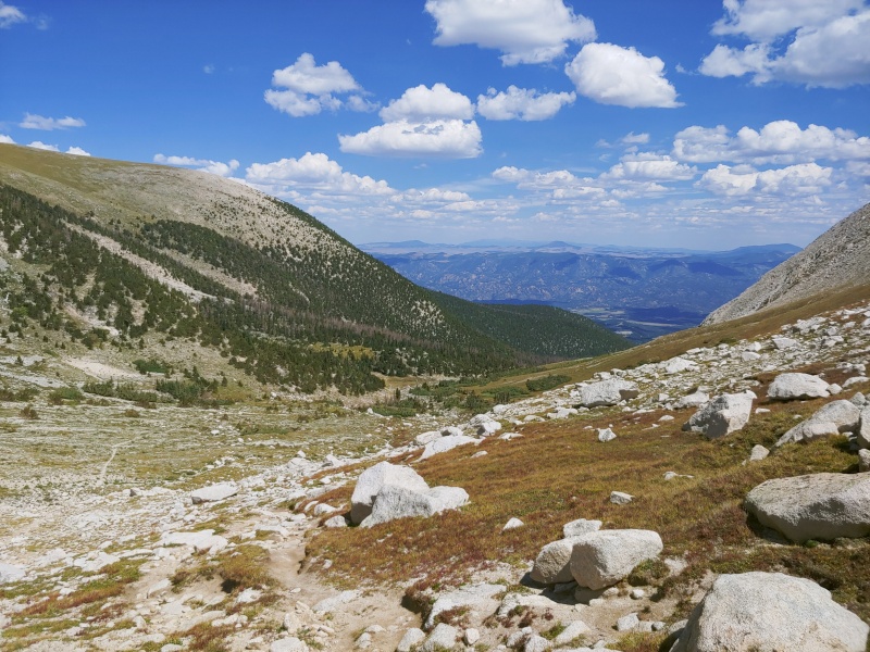
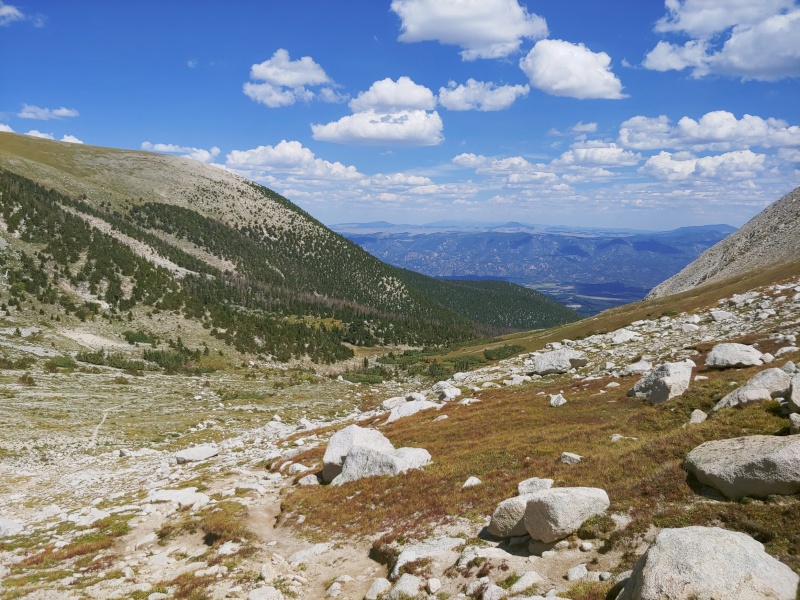
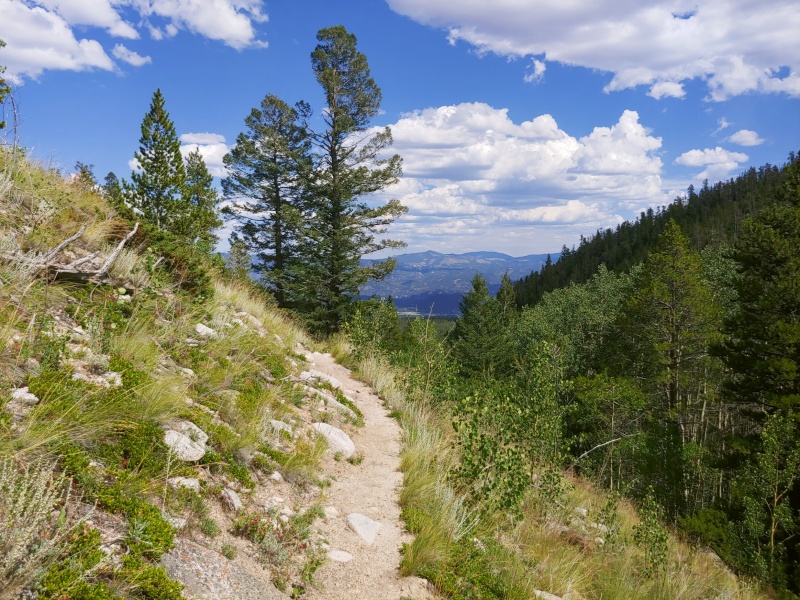
View from the upper portion of Little Browns Creek.
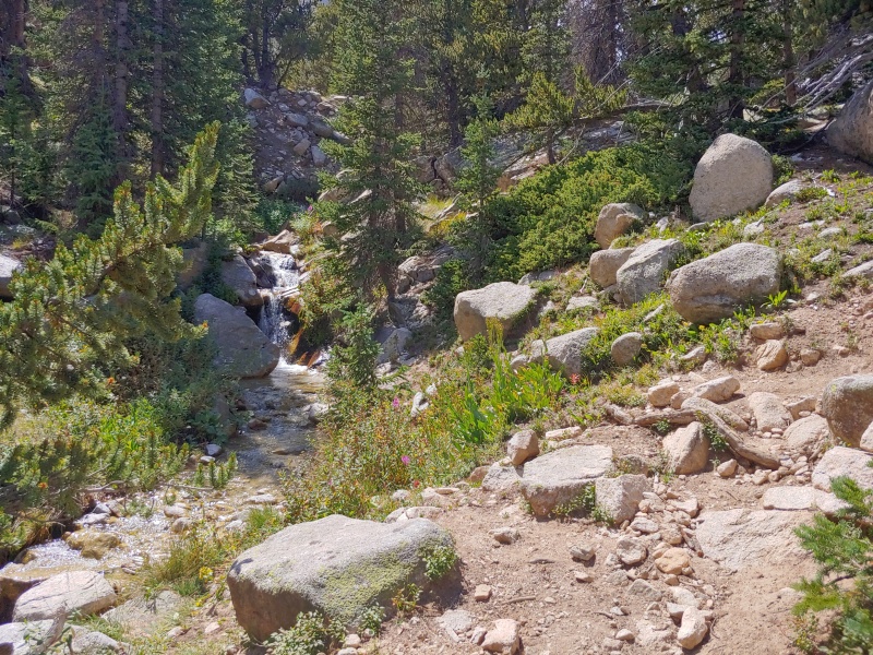
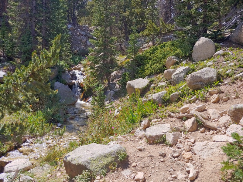
The “creek” part of Little Browns Creek
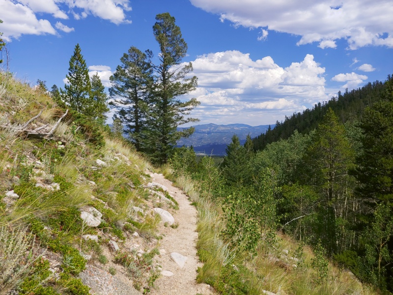
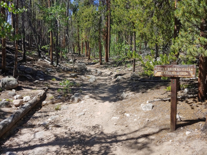
Midway down Little Browns Creek
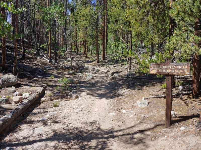
Looking back at the end of Little Browns Creek
Once you reach the end of Little Browns Creek stick to the left to proceed north along the Colorado Trail. This area is a little confusing, since it’s a little hard to find the other direction of the Colorado Trail – from my perspective the way you want to go is the "obvious" way but couldn’t hurt to double check when you get to this point. Continue along the Colorado Trail until you reach FR273 – it will be the first road intersection with the Colorado Trail. Some maps might show some potential shortcuts back to FR273 but I’ve never actually seen these shortcuts in the wild.
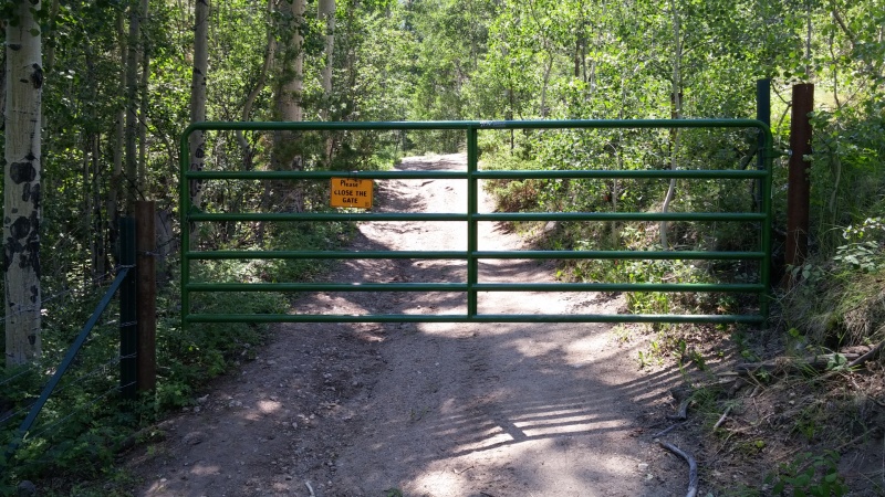
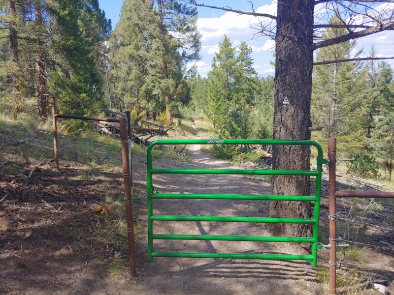
The final obstacle of the day: another gate you need to open and close
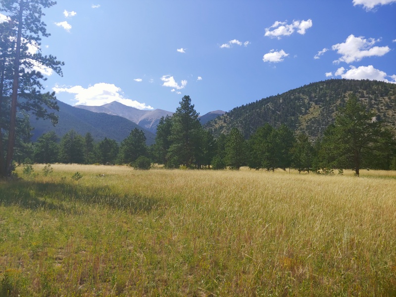
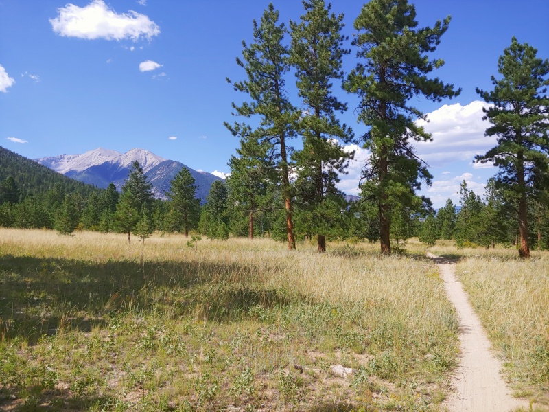
The gate guards some nice views of Antero and Princeton that you can enjoy as you finish up.
GPS Track(s) on Google Maps (made from a .GPX file upload):
I tried this one ten years ago when there wasn't a lot of beta - your first several photos look almost exactly like my trip report from then. Bonus that you summitted and I didn't!
This looks like a very fun, doable alternate route. Thanks for putting in the time to post this! This will be my route to Antero when I get around to tackling "Aunty"
Caution: The information contained in this report may not be accurate and should not be the only resource used in preparation for your climb. Failure to have the necessary experience, physical conditioning, supplies or equipment can result in injury or death. 14ers.com and the author(s) of this report provide no warranties, either express or implied, that the information provided is accurate or reliable. By using the information provided, you agree to indemnify and hold harmless 14ers.com and the report author(s) with respect to any claims and demands against them, including any attorney fees and expenses. Please read the 14ers.com Safety and Disclaimer pages for more information.
Copyright: Route information, text, risk factors, maps, GPX files, charts, photos, 14ers.com-created map imagery, flythroughs, and other content provided in this route description are copyrighted by 14ers.com and may not be copied, reproduced, republished, distributed, modified, or used to create derivative works without prior written permission.
Please respect private property: 14ers.com supports the rights of private landowners to determine how and by whom their land will be used. In Colorado, it is your responsibility to determine if land is private and to obtain the appropriate permission before entering the property.